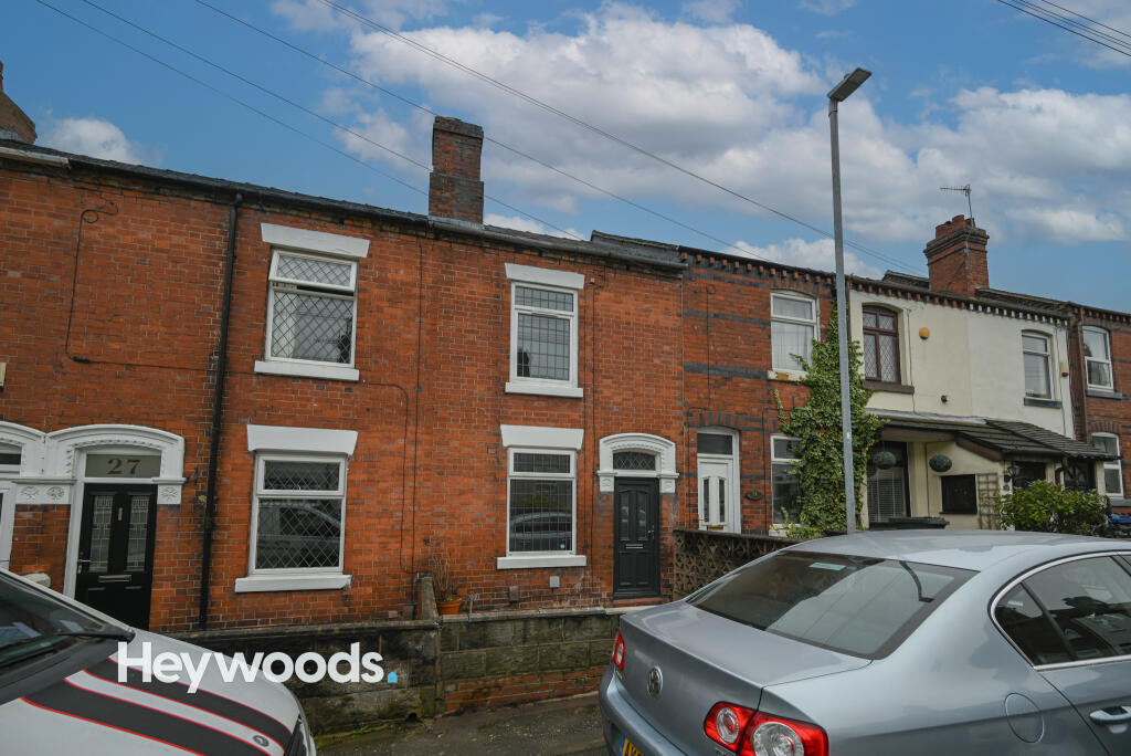
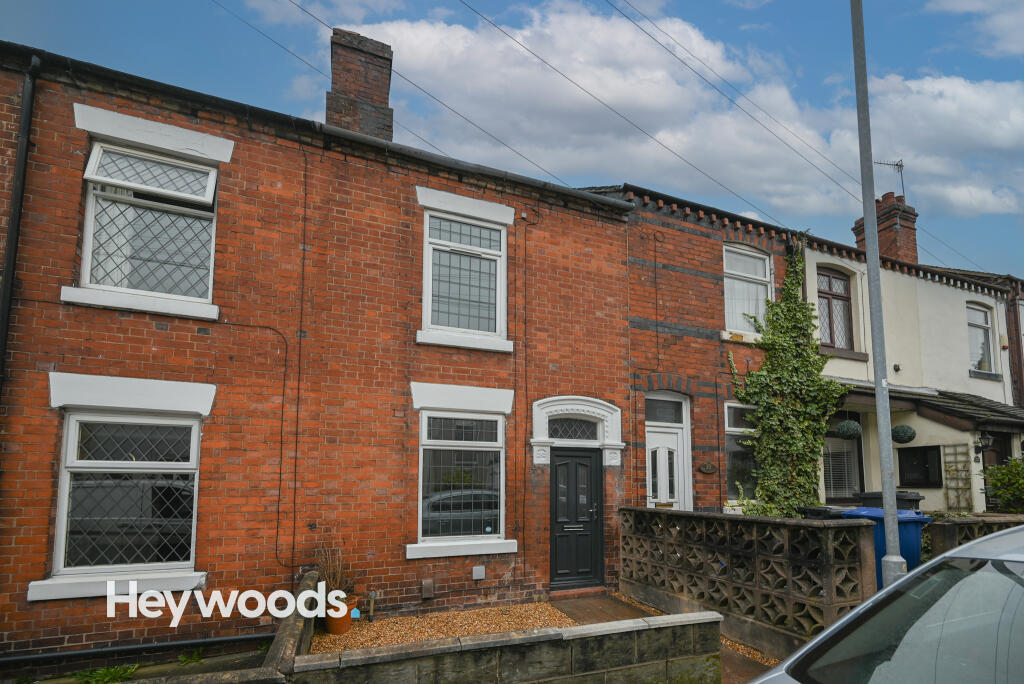
29 SPARROW TERRACE
NEWCASTLE, NEWCASTLE, STAFFORDSHIRE ST5 8PD
£800 pcm

Property details
Floor area
78 m²
EPC rating
D
Year built
England and Wales: 1900-1929
Deprivation
Decile 6 (16,958 of 33,755)
Street crime
207 incidents within 1 mile (Apr 2026)
Key features
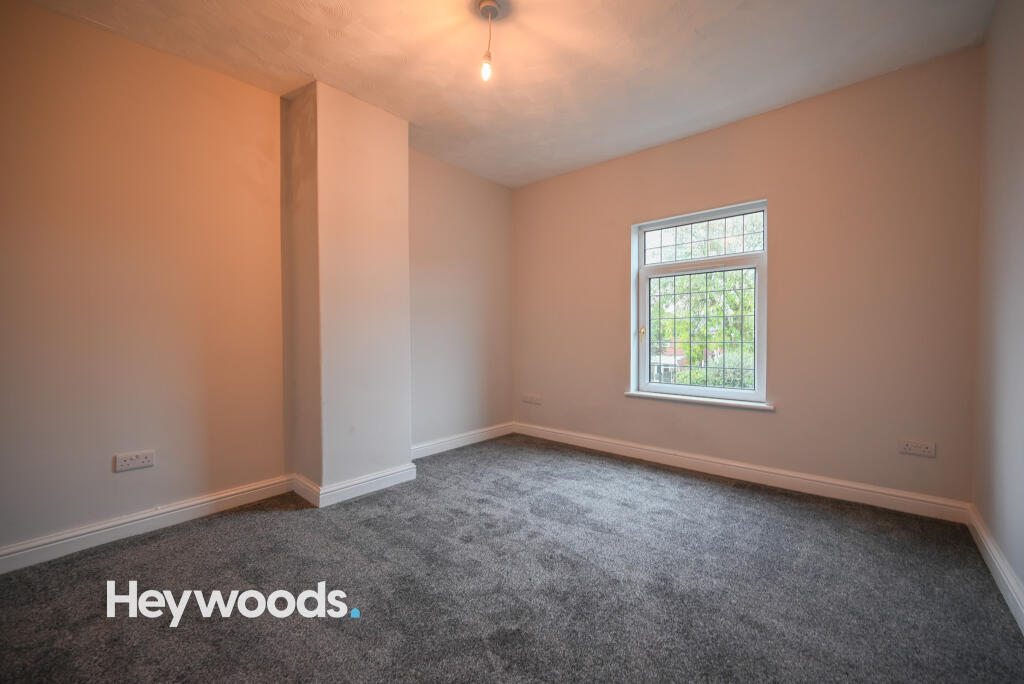
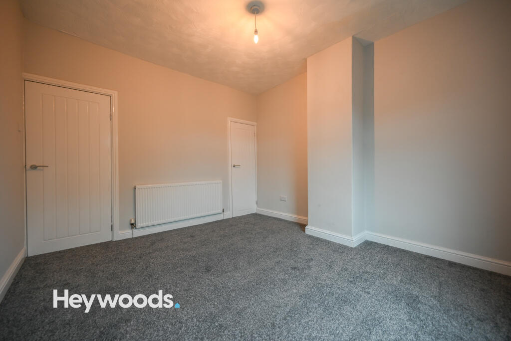
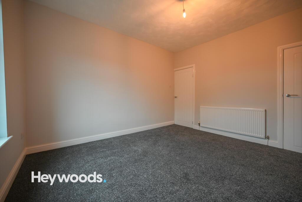
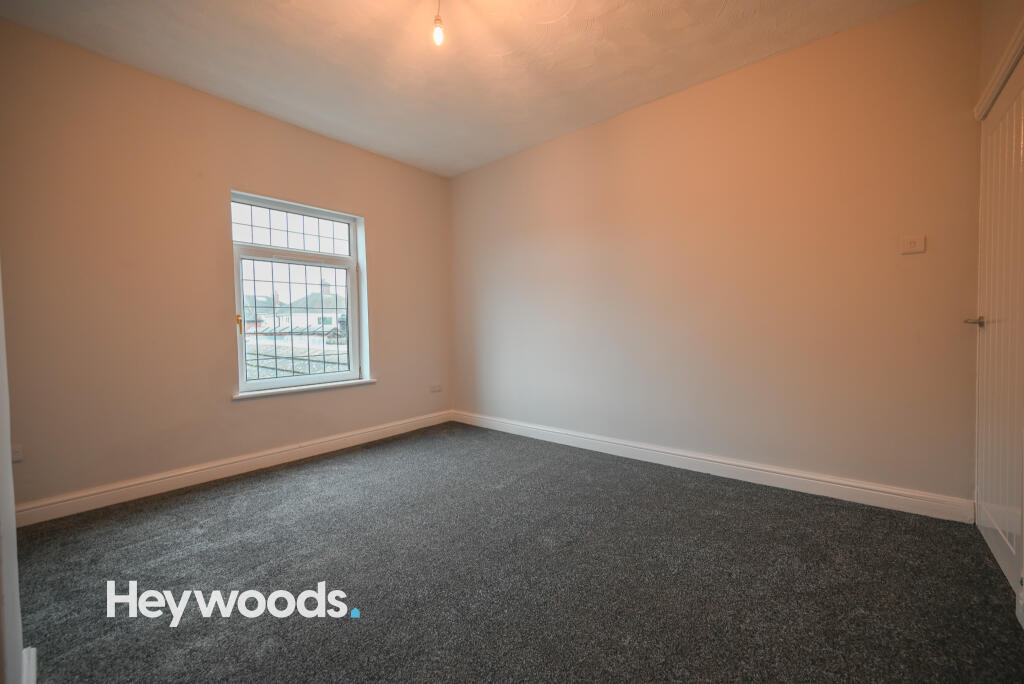
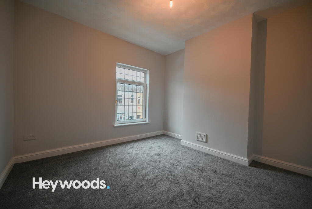
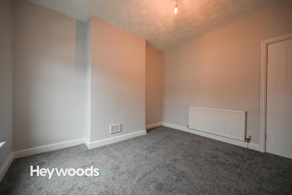
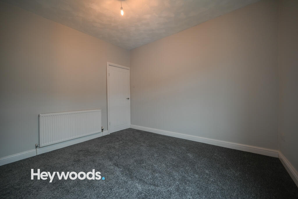
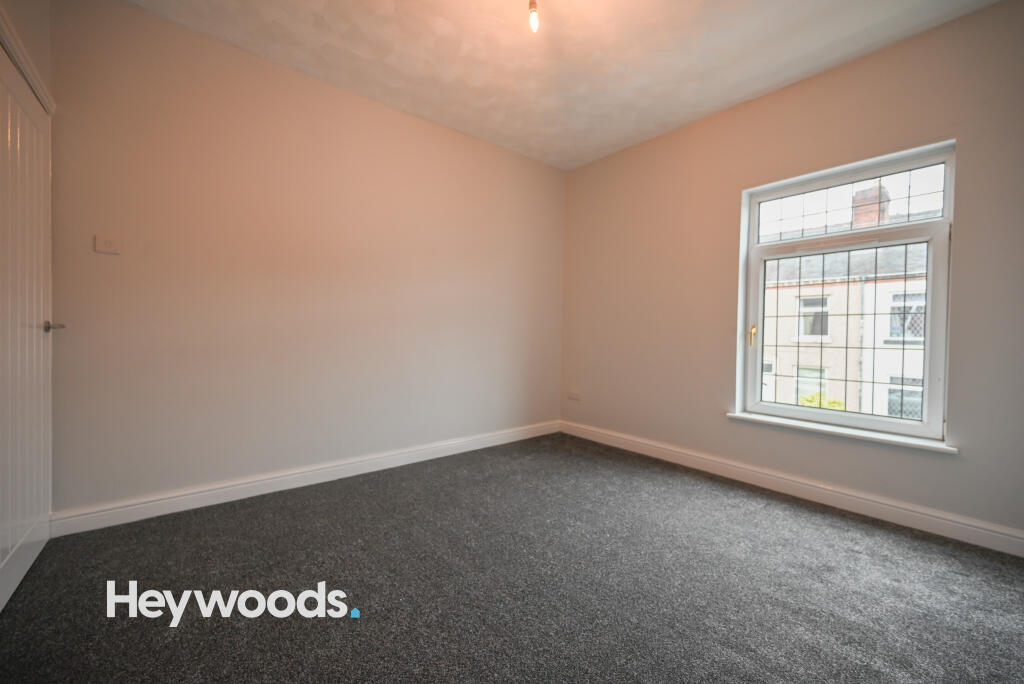
- Two Bedroom Mid-Terraced House
- Newly Refurbished
- Ideal Location Close To Local Amenities
- Great Links To Newcastle Town Centre & Hanley
- Unfurnished
- Available now
- Council Tax Band A
Additional details
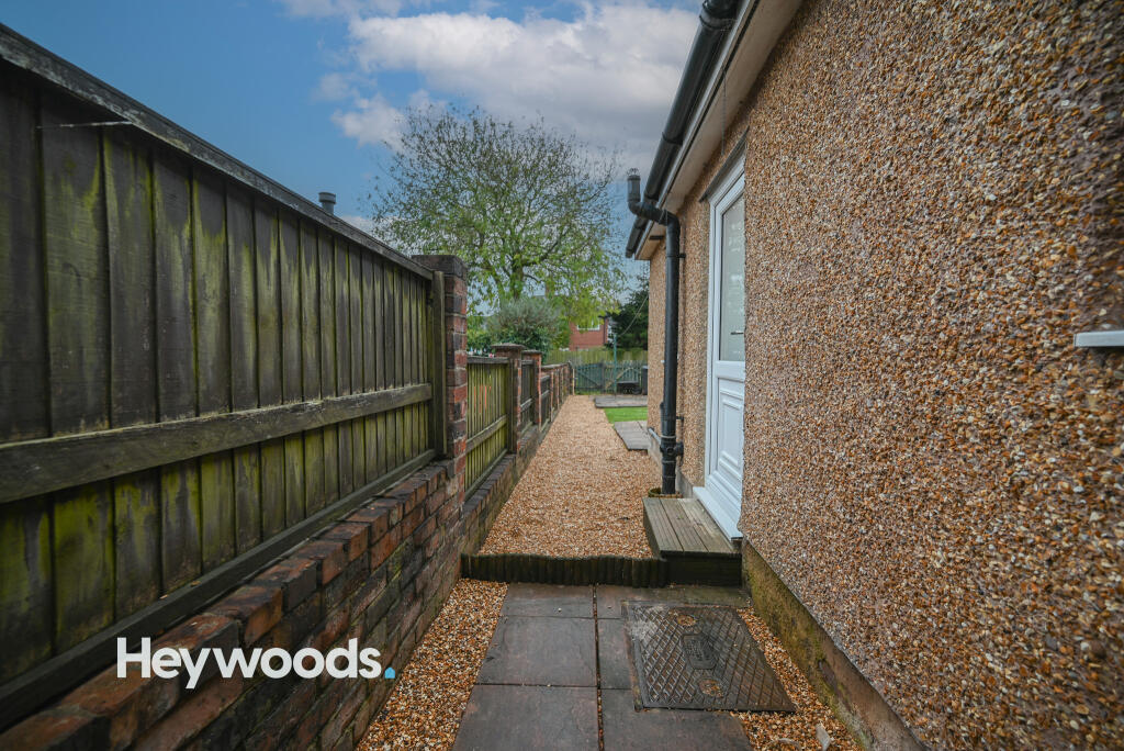
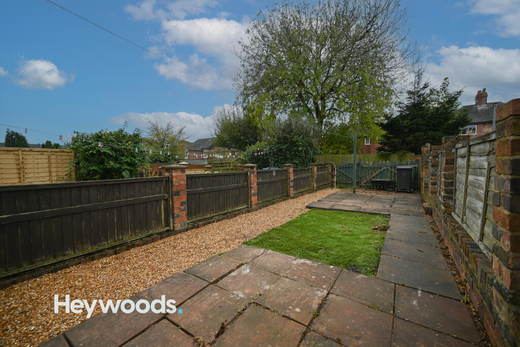
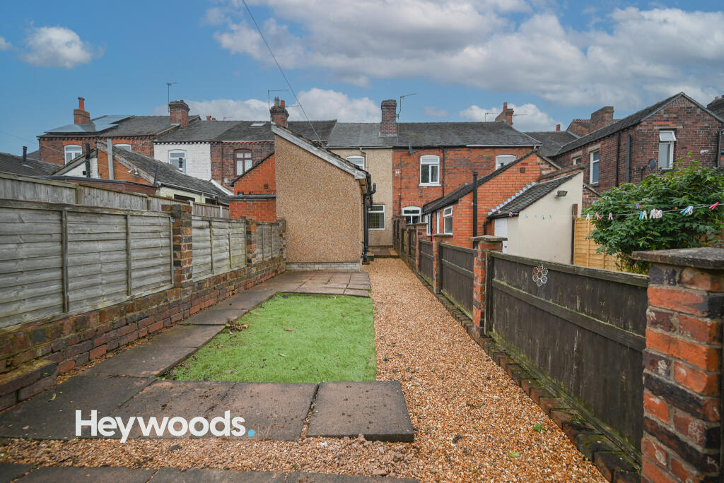
- Garden
- Yes
Description
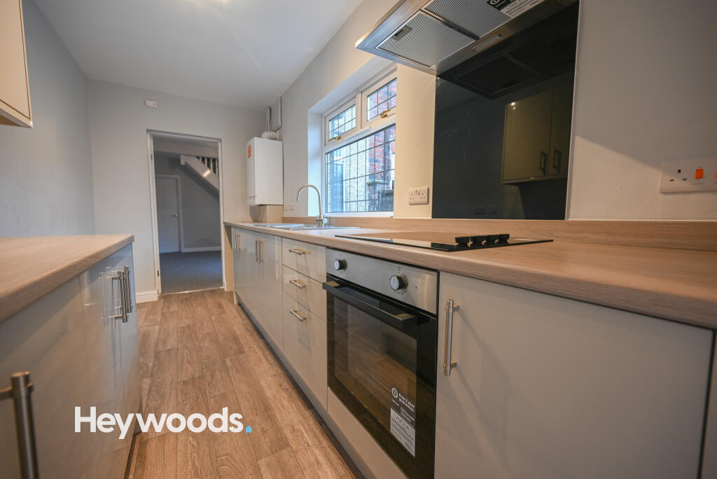
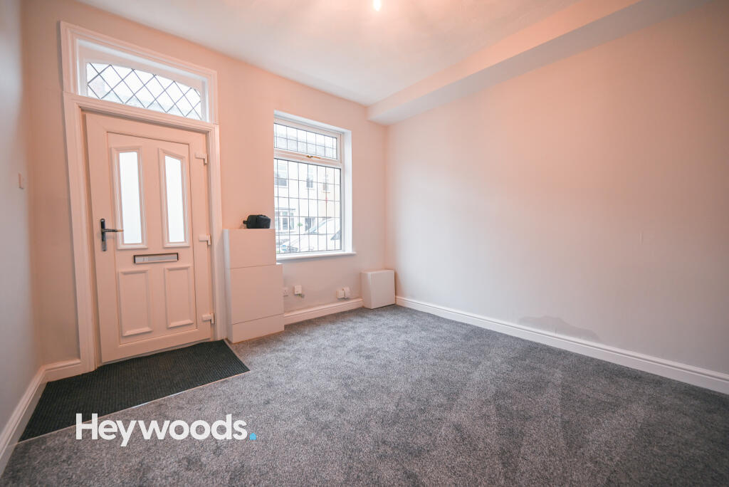
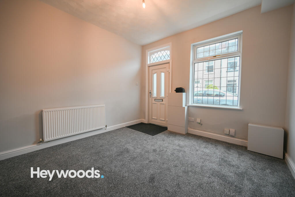
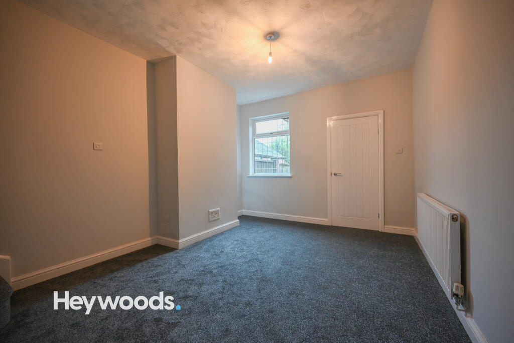
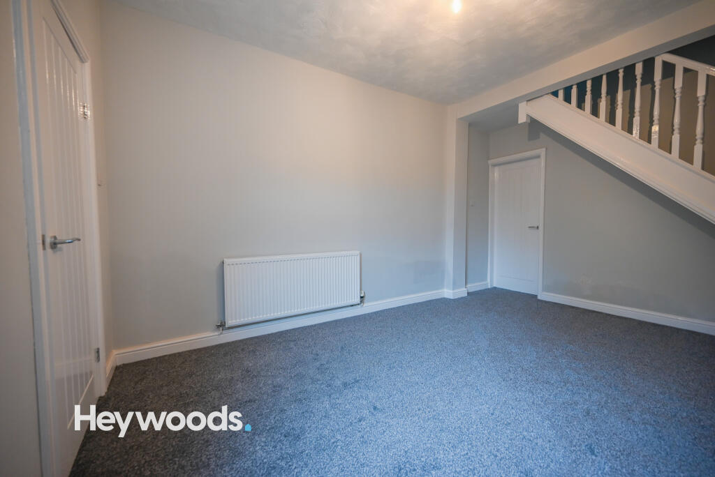
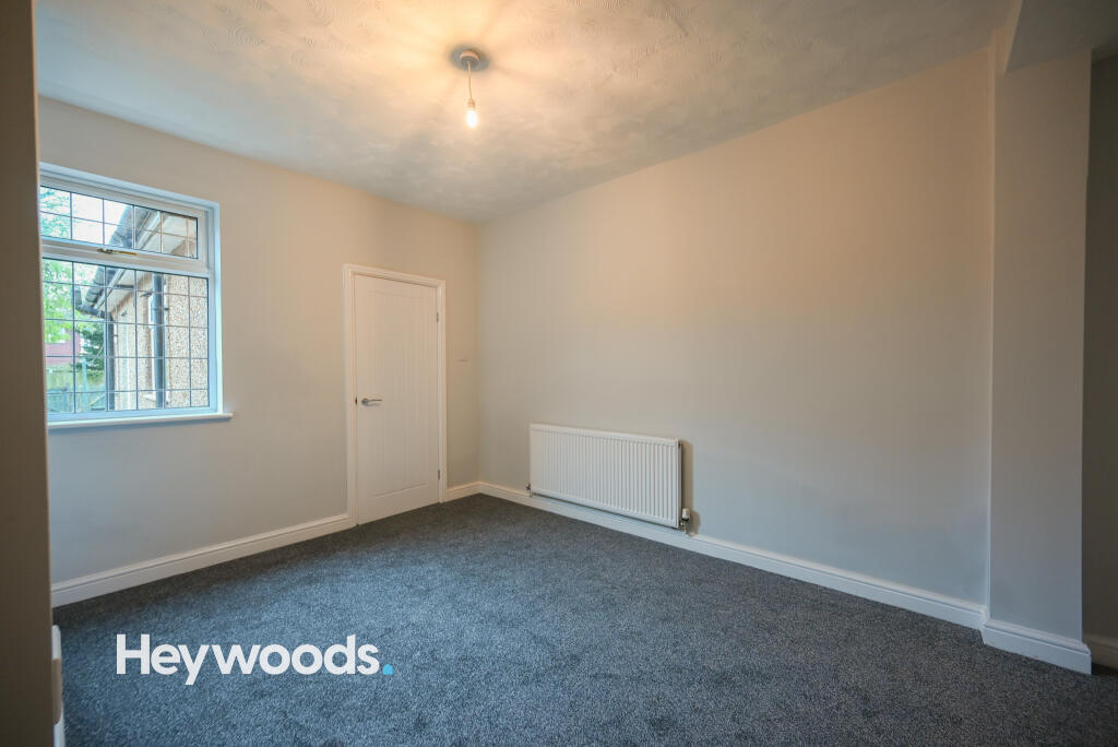
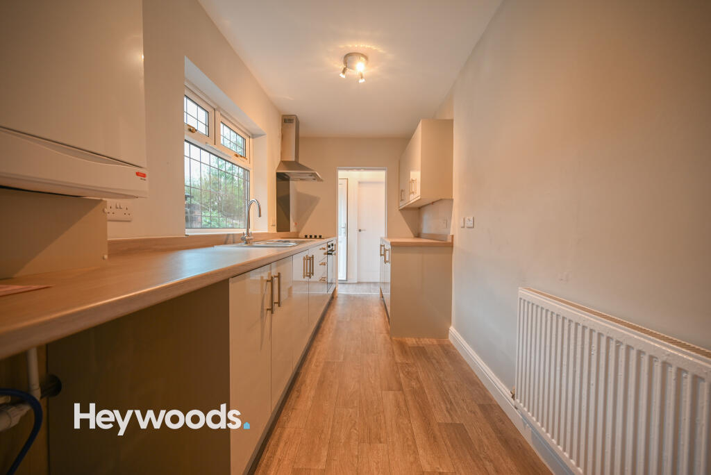
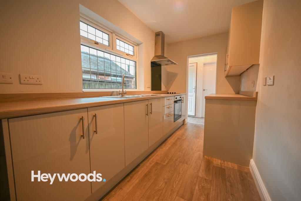
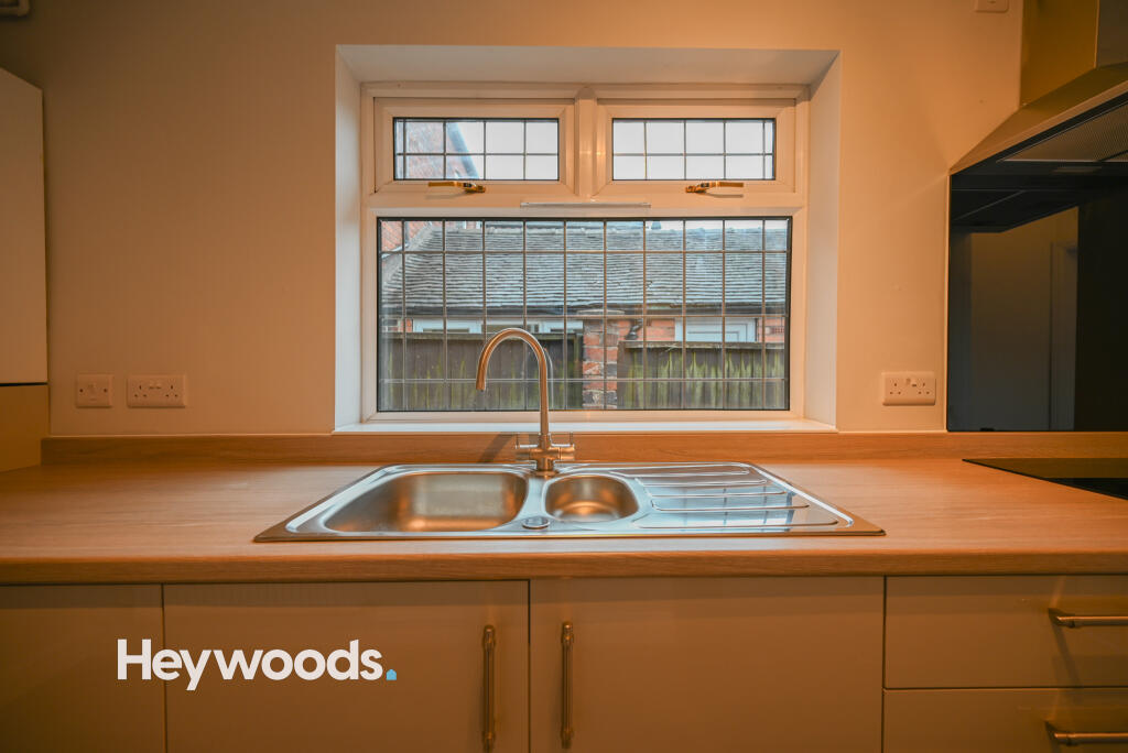
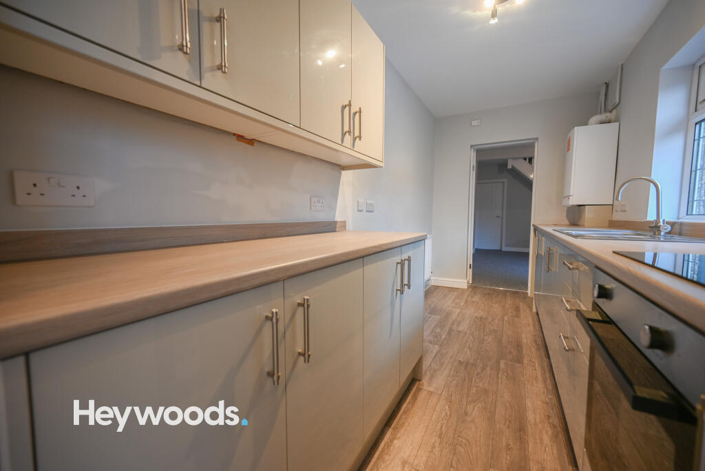
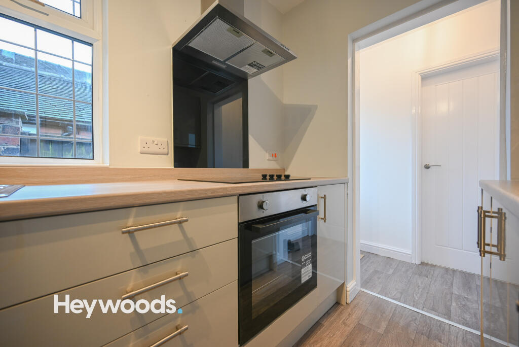
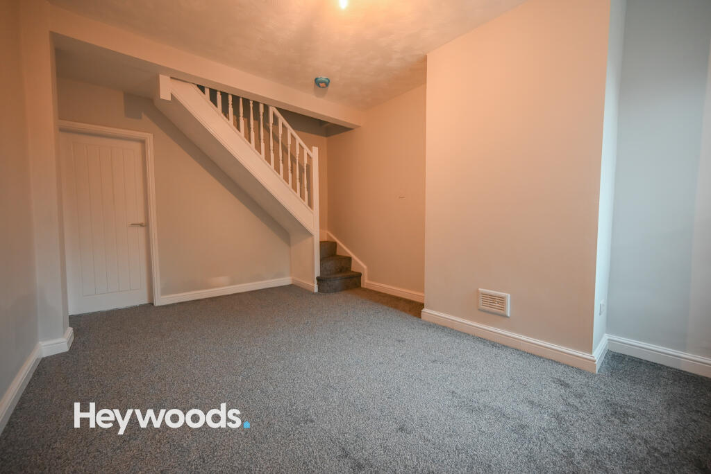
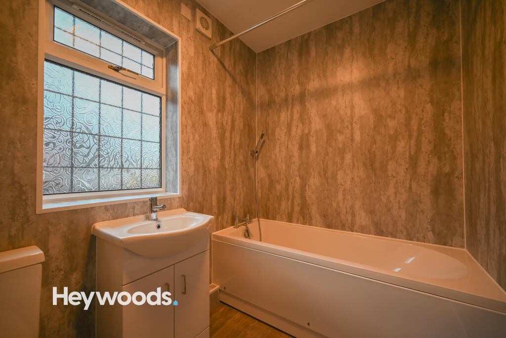
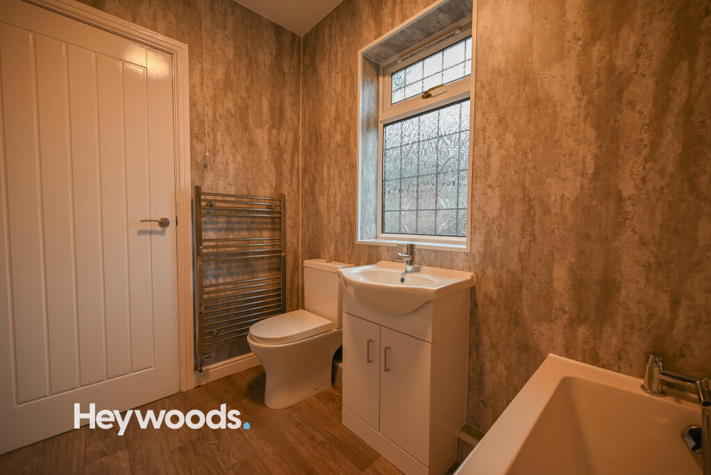
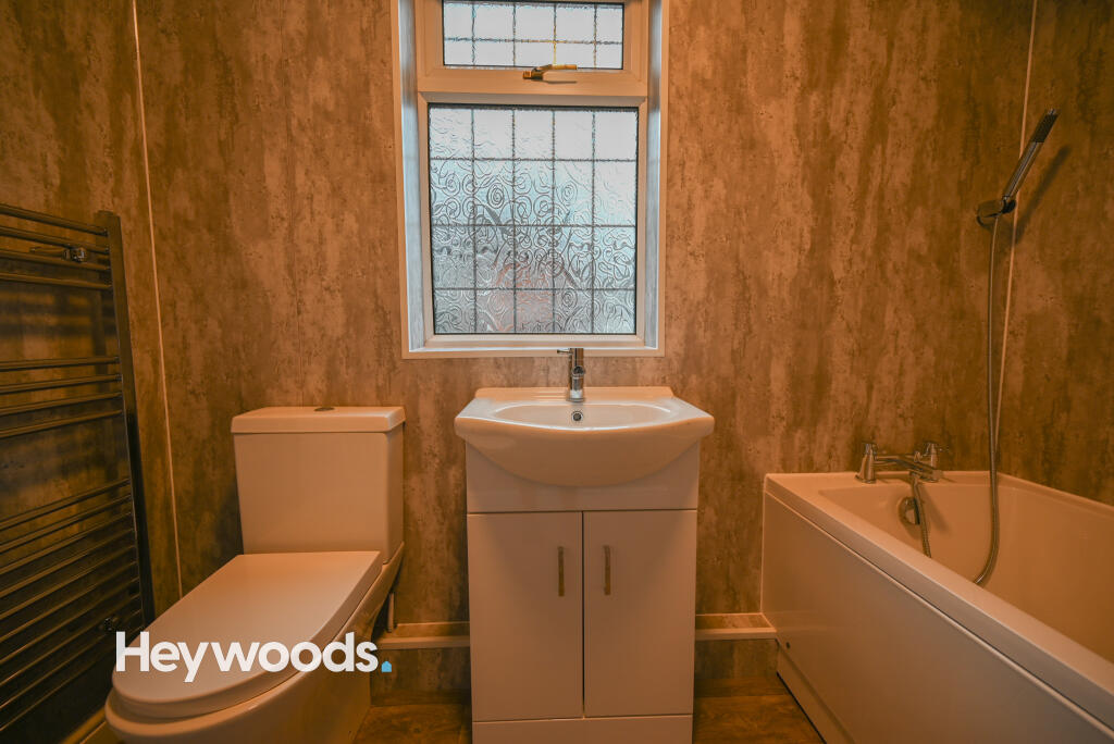
It is presented to a high standard throughout and comprises as follows; two reception rooms, fitted kitchen, downstairs bathroom and two double bedrooms to the first floor. Additional benefits include gas central heating, UPVC double glazing and a private enclosed rear yard, with astro-turf.
To book a viewing, visit the Heywoods website and fill out a tenant viewing form!
Listed by
Newcastle-under-Lyme
Heywoods
Reference: 169180892
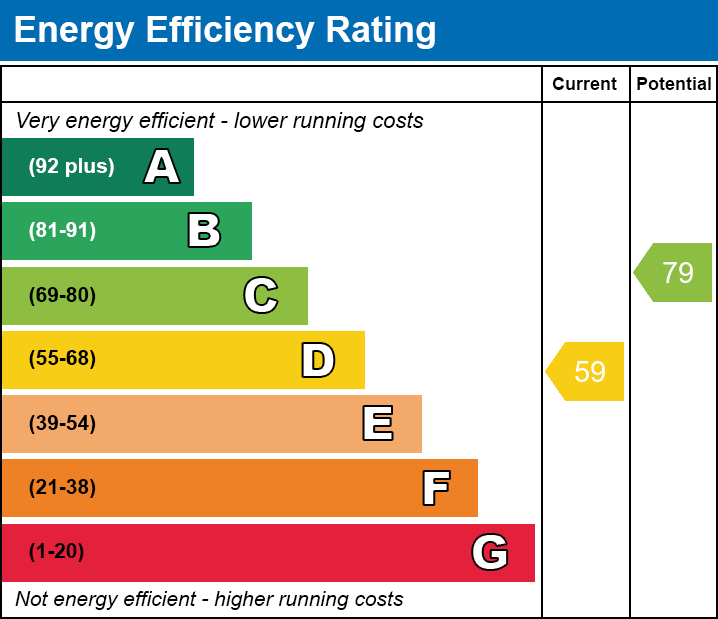
EPC Rating & Upgrade Cost
Current rating: D
Potential rating: C
Inspection date: 07/12/2020
Expiry date: 06/12/2030
Current heating cost: £773/year
Potential heating cost: £601/year
Est. upgrade cost to C: £23,920
Recommendations
- 50 mm internal or external wall insulation (£4,000 - £14,000)
- Floor insulation (solid floor) (£4,000 - £6,000)
- Low energy lighting for all fixed outlets (£20)
- Upgrade heating controls (£350 - £450)
- Solar water heating (£4,000 - £6,000)
- Solar photovoltaic panels, 2.5 kWp (£3,500 - £5,500)
Flood risk
Zone: 1
Risk: Low
Job (default Low)
EPC Graphs

EPC
EE
Company ownership
Registered legal owner is a company.
Rental Range
Estimated market rent for Newcastle-under-Lyme. Low = conservative, Realistic = average, Optimistic = best case.
Based on Local Authority from postcode lookup → Newcastle-under-Lyme.
LHA (30th percentile) floor for Staffordshire North: £479/mo (Apr 2025 – Mar 2026)
Location
Nearby
Nearest stations, universities and amenities (distance from property).
| Type | Name | Distance |
|---|---|---|
| Shop | Unknown | 0.1 miles |
| Bus stop | St Andrew's Church | 0.1 miles |
| Shop | The co-operative food | 0.3 miles |
| Train station | Longport | 0.6 miles |
| Train station | Apedale Road | 1.7 miles |
| Hospital | Haywood Hospital Walk-in Centre | 2.0 miles |
| Hospital | Royal Stoke University Hospital | 2.3 miles |
| University | University of Staffordshire Stoke Campus | 2.6 miles |
Street-level crime
| Category | Count |
|---|---|
| Violence and sexual offences | 73 |
| Anti-social behaviour | 51 |
| Public order | 19 |
| Criminal damage and arson | 16 |
| Vehicle crime | 13 |
| Burglary | 9 |
| Other crime | 8 |
| Other theft | 7 |
| Shoplifting | 7 |
| Drugs | 2 |
| Possession of weapons | 1 |
| Robbery | 1 |
| Total incidents | 207 |
Within 1 mile during Apr 2026. Source: data.police.uk (England & Wales).
Schools nearby
Nearest open schools with Ofsted ratings (England). Closed schools are not shown. Data from Get Information about Schools and Ofsted.
| Name | Type | Distance | Ofsted |
|---|---|---|---|
| Kaleidoscope School | Other | 0.1 miles | Good — 10 Dec 2023 |
| Cedars - Newcastle, Moorlands and Darwin Bases | Other | 0.2 miles | Good — 26 Jun 2015 |
| Oaklands Nursery School | Nursery | 0.2 miles | Outstanding — 15 Feb 2013 |
| Ellison Primary Academy | Primary | 0.4 miles | Good — 14 Sep 2023 |
| St Margaret's CofE (VC) Junior School | Primary | 0.6 miles | Good — 1 May 2014 |
Rental Comparables
Residential lets from OpenRent and Rightmove for the area (same bedroom count). Use to validate rent estimates. Student lets are excluded.
Average rent: £845/mo (51 listings)