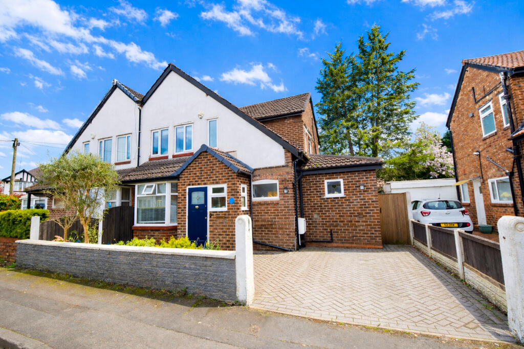
3 GLOUCESTER ROAD
MANCHESTER, URMSTON, GREATER MANCHESTER M41 9AF

Property details
Tenure
FREEHOLD
Floor area
43 m²
Year built
England and Wales: 1900-1929
Last sold
£185,000 Apr 2017
Price per m²
£8,721/m²
Local average
£351,736 (+6.6%)
Deprivation
Decile 7 (21,775 of 33,755)
Street crime
0 incidents within 1 mile (Apr 2026)
Additional details
- Parking
- Yes
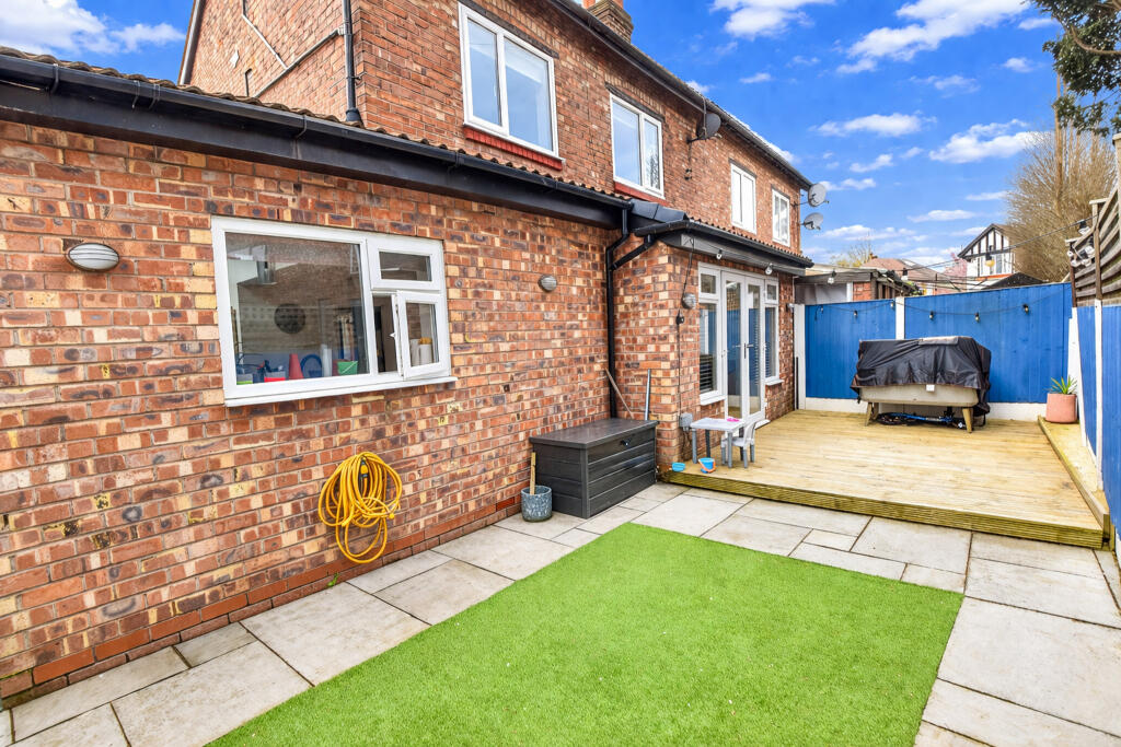
- Garden
- Yes
- Required access
- No
- Rights of way
- No
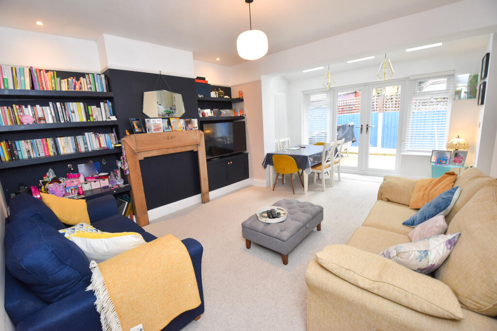
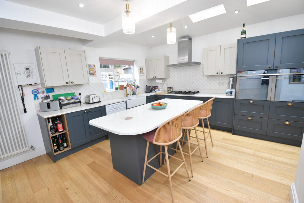
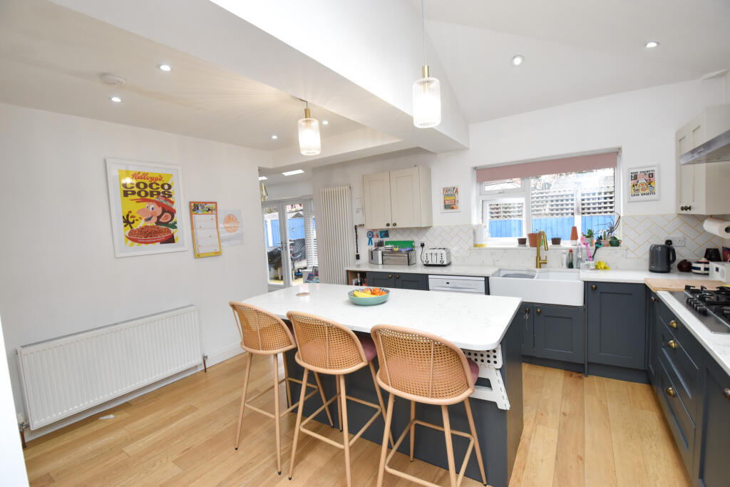
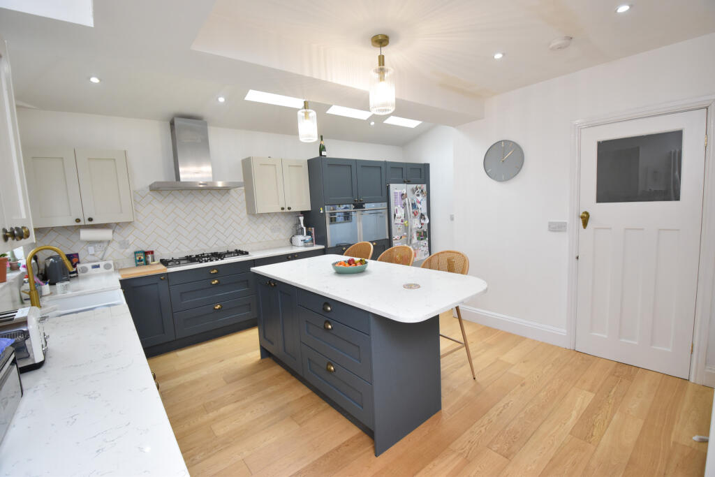
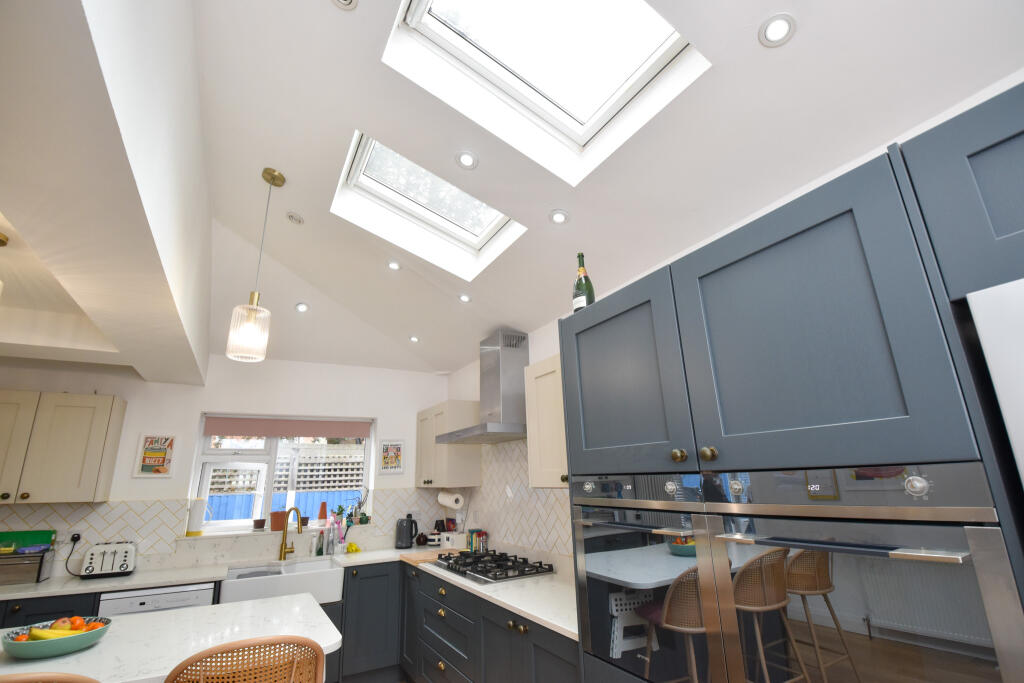
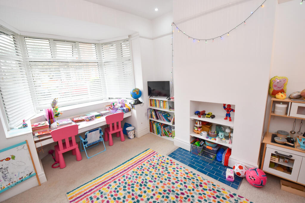
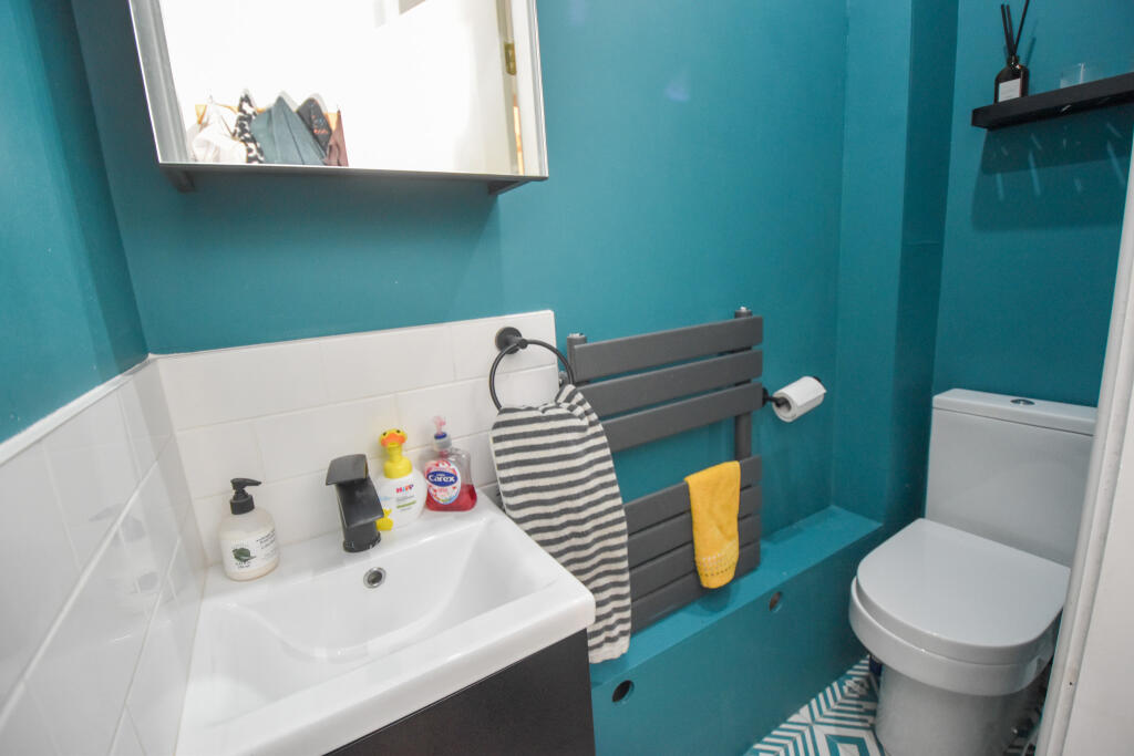
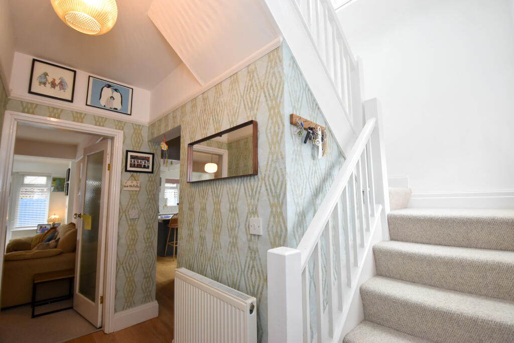
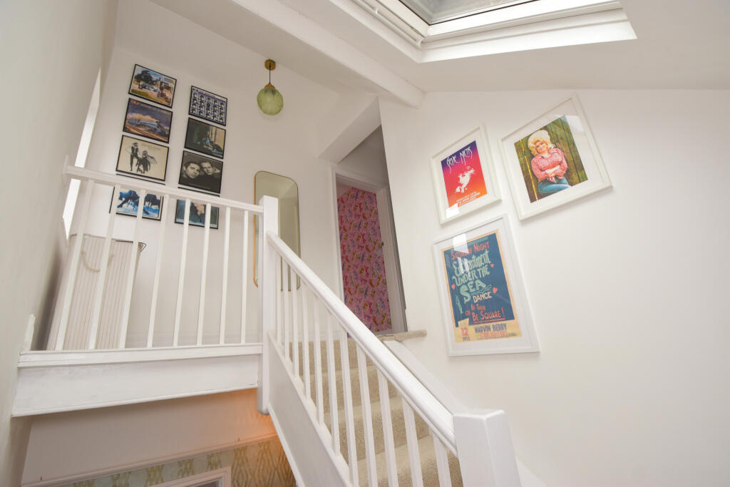
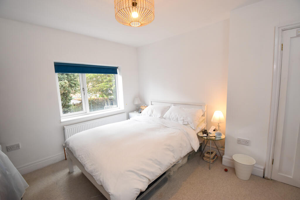
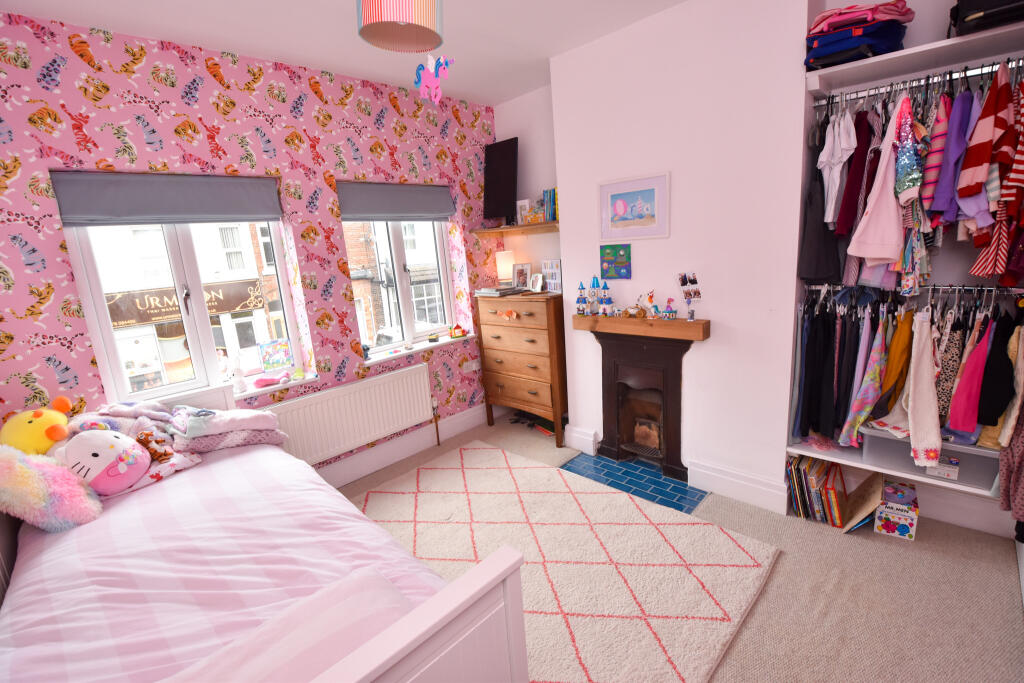
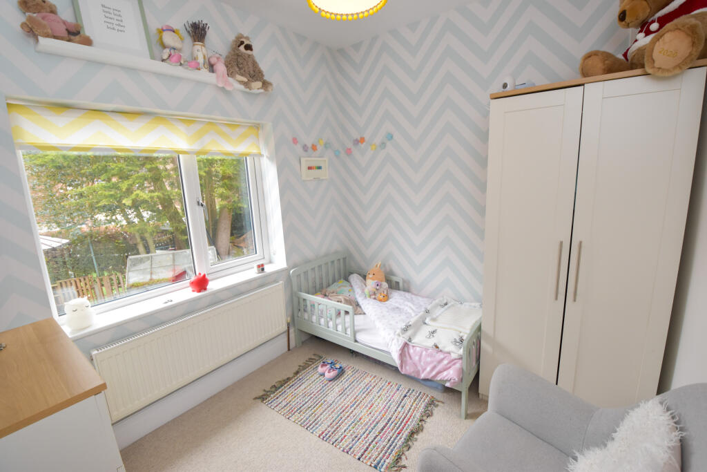
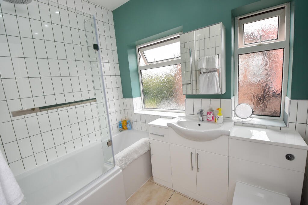
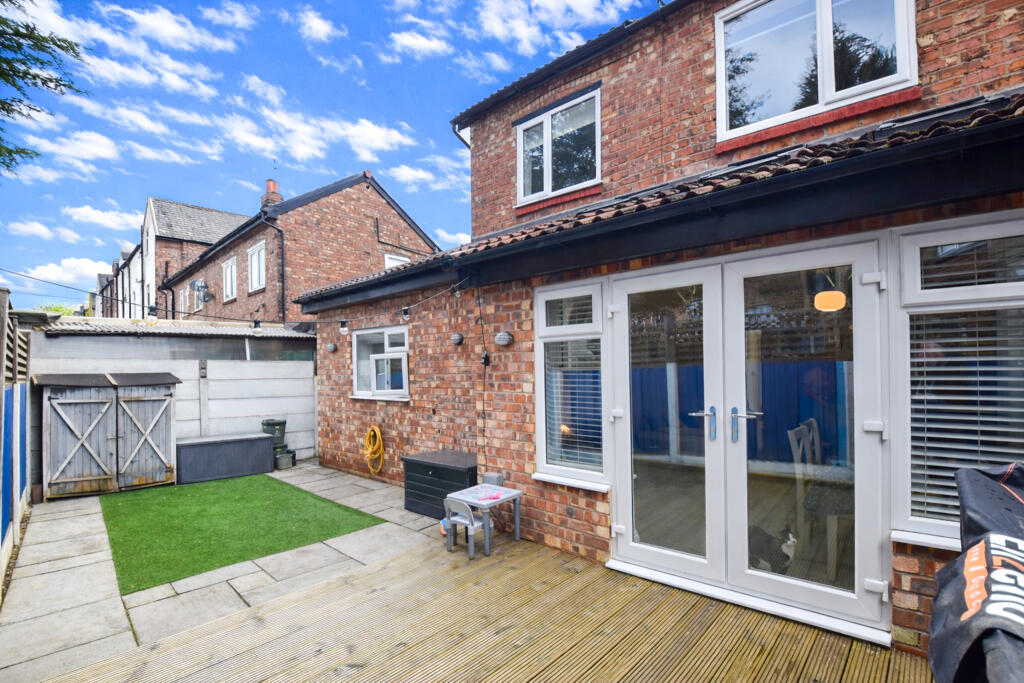
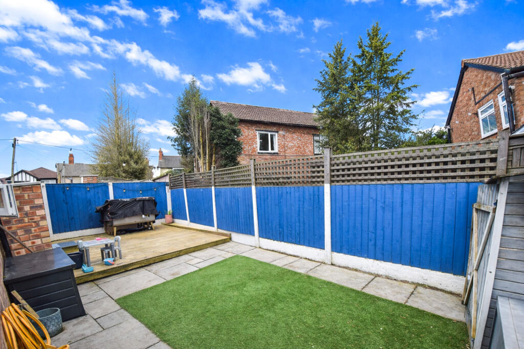
Description
Listed by
South Manchester
Moving Onwards Limited
Reference: 174611942
EPC Rating & Upgrade Cost
Fetching EPC data… Refresh this page in a moment.
Flood risk
Zone: 1
Risk: Low
Job (default Low)
Floorplans
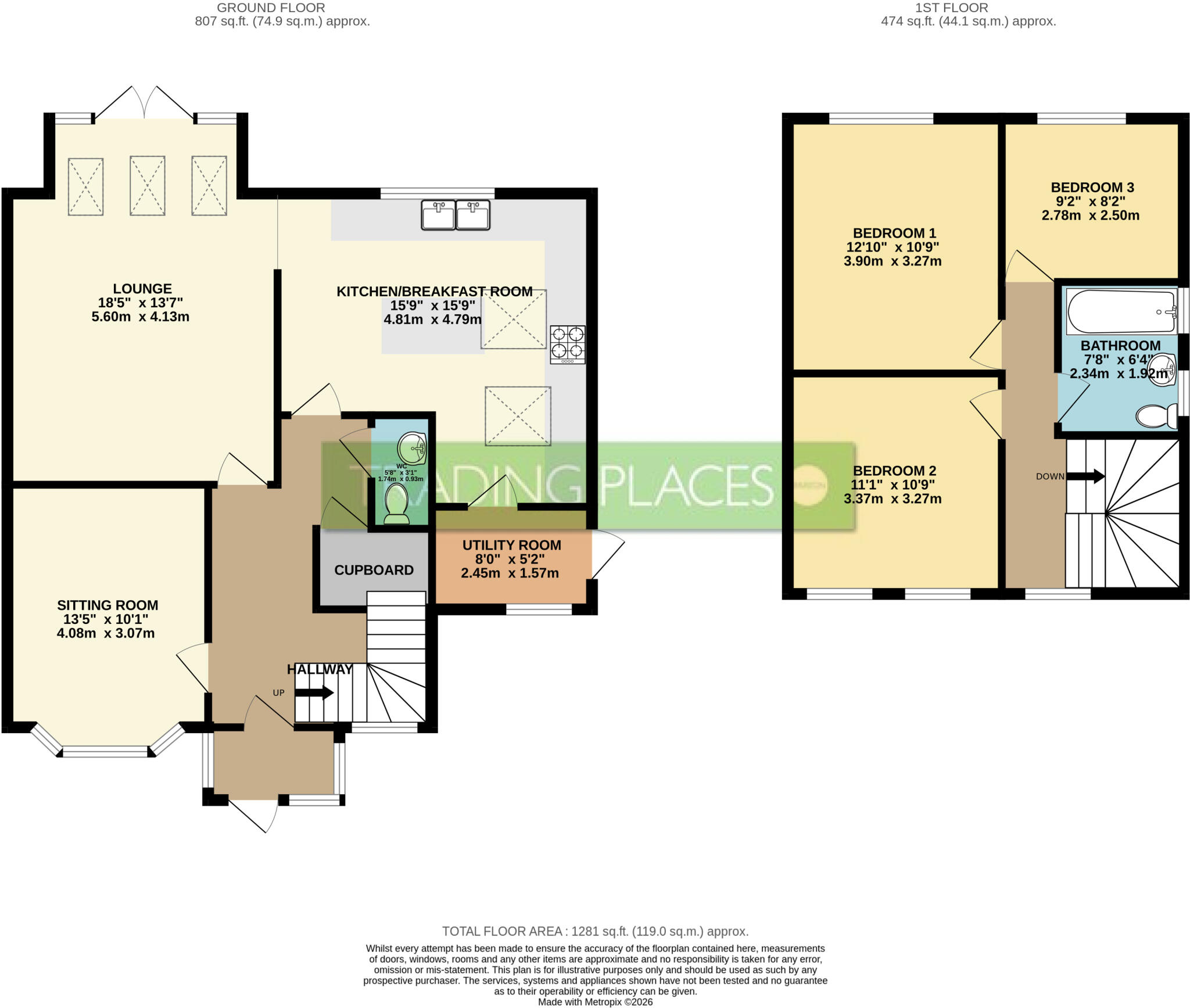
Floor Plan
EPC Graphs
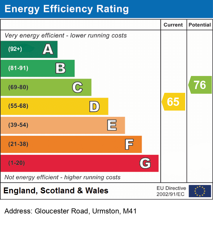
EPC
FENSA Certificates
This property has 2 FENSA certificate(s) on record, indicating window/door installations by FENSA-approved installers.
FENSA Certificate #2009474
Property Details
Street: 3 Gloucester Road
Town: Urmston
Postcode: M41 9AF
Installation Details
Items: 1 window
Certificate Issued: 31/08/2004
Work Completed: 26/07/2004
This certificate data was retrieved from FENSA's database
FENSA Certificate #12679598
Property Details
Street: 3 Gloucester Road
Town: Urmston
Postcode: M41 9AF
Installation Details
Items: 6 windows
Certificate Issued: 15/01/2018
Work Completed: 18/10/2017
This certificate data was retrieved from FENSA's database
What is FENSA? FENSA (Fenestration Self-Assessment Scheme) is a government-authorised scheme that monitors building regulation compliance for replacement windows and doors. Certificates indicate that work was completed by FENSA-approved installers.
Price history
23% since 2007
| Event | Date | Price | % change |
|---|---|---|---|
| Listed for sale | — | £375,000 | +102.7% |
| Sold | 10/04/2017 (9 years ago) | £185,000 | +23.3% |
| Sold | 02/02/2007 (19 years ago) | £150,000 | — |
Source: HM Land Registry Price Paid Data. Crown copyright.
Sold Comparables
Same street and nearby sales within 0.25 miles (last 5 years). Data from Land Registry Price Paid.
| Address | Price | Date | Type |
|---|---|---|---|
| 39 ASHFIELD ROAD, URMSTON, MANCHESTER, TRAFFORD, GREATER MANCHESTER, M41 9AN | £315,000 | 11/12/2025 | Semi-detached |
| 35 STRETFORD ROAD, URMSTON, MANCHESTER, TRAFFORD, GREATER MANCHESTER, M41 9JY | £180,000 | 02/08/2023 | Semi-detached |
| Same street 19 GLOUCESTER ROAD, URMSTON, MANCHESTER, TRAFFORD, GREATER MANCHESTER, M41 9AF | £230,000 | 03/03/2023 | Other |
| 97 STRETFORD ROAD, URMSTON, MANCHESTER, TRAFFORD, GREATER MANCHESTER, M41 9LG | £370,000 | 06/01/2023 | Semi-detached |
| 28 ASHFIELD ROAD, URMSTON, MANCHESTER, TRAFFORD, GREATER MANCHESTER, M41 9AW | £285,000 | 04/11/2022 | Semi-detached |
| 10 GLOUCESTER ROAD, URMSTON, MANCHESTER, TRAFFORD, GREATER MANCHESTER, M41 9AE | £440,000 | 30/09/2022 | Semi-detached |
| 5 ASHFIELD ROAD, URMSTON, MANCHESTER, TRAFFORD, GREATER MANCHESTER, M41 9AN | £450,000 | 11/03/2022 | Semi-detached |
| 7 MANOR AVENUE, URMSTON, MANCHESTER, TRAFFORD, GREATER MANCHESTER, M41 9GH | £610,000 | 11/03/2022 | Semi-detached |
Street average: £230,000 (1 sale)
Area average: £378,571 (7 sales)
Capital growth trend
Land Registry outcode average: last 12 months vs 5y and 10y ago (from sold prices).
House Price Index (HM Land Registry — official index, not sold-price averages): Trafford. Series: Semi-detached. As of March 2026.
Rental Range
Estimated market rent for Trafford. Low = conservative, Realistic = average, Optimistic = best case.
Based on Local Authority from postcode lookup → Trafford.
LHA (30th percentile) floor for Central Greater Manchester: £947/mo (Apr 2025 – Mar 2026)
Location
Nearby
Nearest stations, universities and amenities (distance from property).
| Type | Name | Distance |
|---|---|---|
| Bus stop | Urmston, Stretford Road / by Queens Road | 0.1 miles |
| Bus stop | Urmston, Stretford Road / opposite Queens Road | 0.1 miles |
| Shop | National Tyres and Autocare | 0.1 miles |
| Shop | Tilekraft | 0.1 miles |
| Train station | Urmston | 0.2 miles |
| Train station | Chassen Road | 0.7 miles |
| Hospital | Trafford General Hospital | 1.0 miles |
| University | University Academy 92 | 2.8 miles |
| University | University of Salford | 2.9 miles |
| Hospital | Salford Royal Hospital | 3.1 miles |
Street-level crime
| Category | Count |
|---|---|
| Total incidents | 0 |
Within 1 mile during Apr 2026. Source: data.police.uk (England & Wales).
Schools nearby
Nearest open schools with Ofsted ratings (England). Closed schools are not shown. Data from Get Information about Schools and Ofsted.
| Name | Type | Distance | Ofsted |
|---|---|---|---|
| English Martyrs' RC Primary School | Primary | 0.4 miles | Good — 3 Apr 2013 |
| Urmston Primary School | Primary | 0.5 miles | Good — 12 Jul 2023 |
| Highfield Primary School | Primary | 0.5 miles | Good — 10 Jan 2013 |
| Urmston Grammar Academy | Secondary | 0.6 miles | Good — 21 Sep 2022 |
| Davyhulme Primary School | Primary | 0.6 miles | Outstanding — 12 May 2024 |
Rental Comparables
Loading rental comparables for this postcode. Refresh in a few minutes.
Rent-driven metrics
Based on Area rent estimate.
- Rent ratio — Monthly rent ÷ purchase price (1% rule). 1%+ = strong, 0.8–1% = okay, <0.8% = weak for cashflow.
- Max investor price — Rent ÷ 0.8%; the price at which rent would be 0.8% of price (Stoke-style target).
- Target investor price — Rent ÷ 1%; the price at which rent would be 1% of price (strong cashflow band).
- Gross yield — Annual rent as % of purchase price (no costs).