APARTMENT 97
1535 THE MELTING POINT, 5, FIRTH STREET, HUDDERSFIELD, WEST YORKSHIRE HD1 3BE
£695 pcm
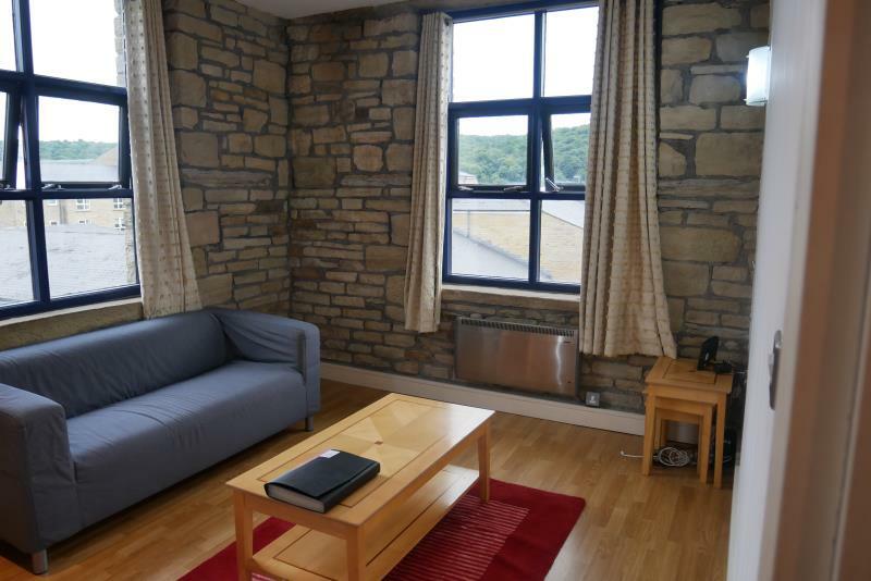
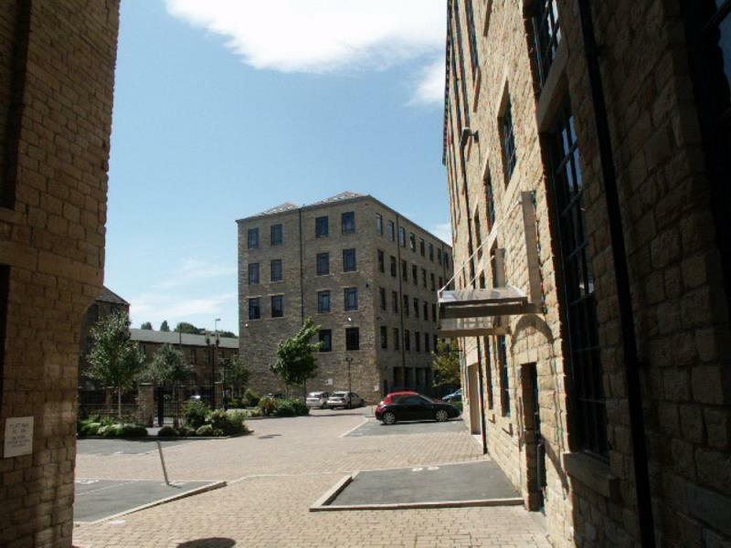
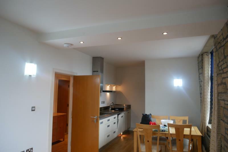
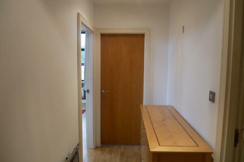
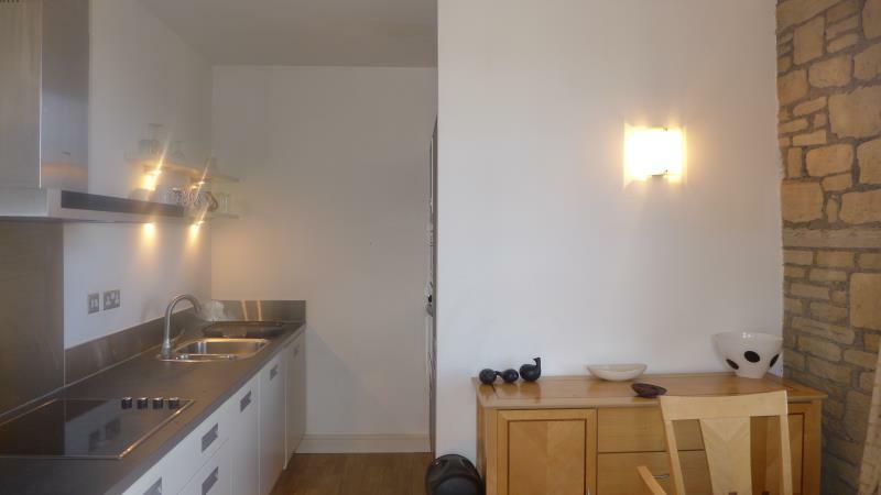
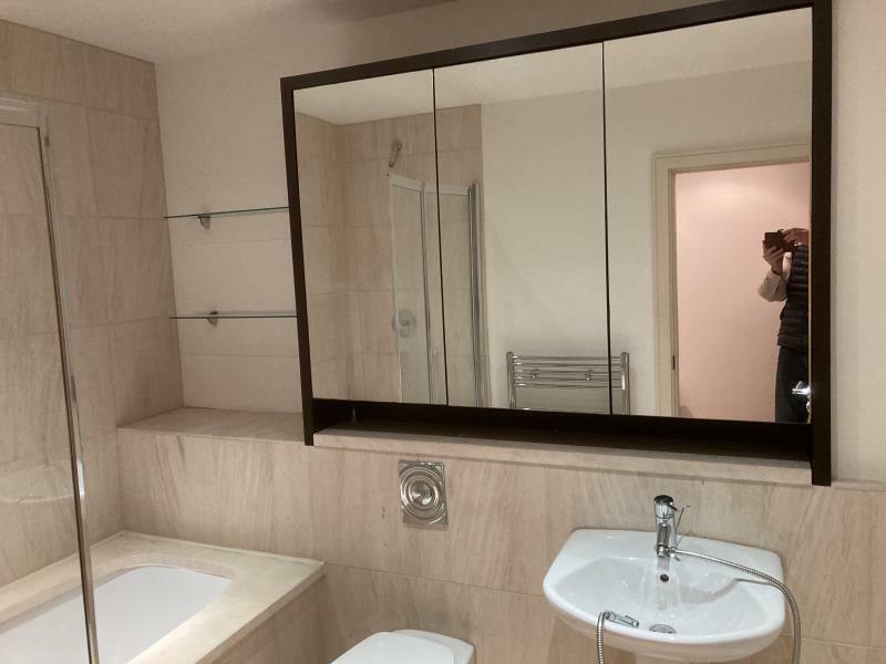
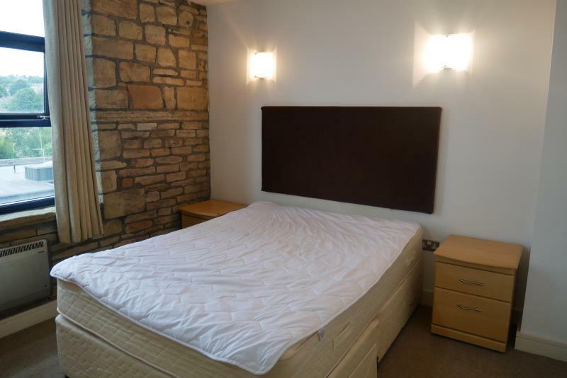
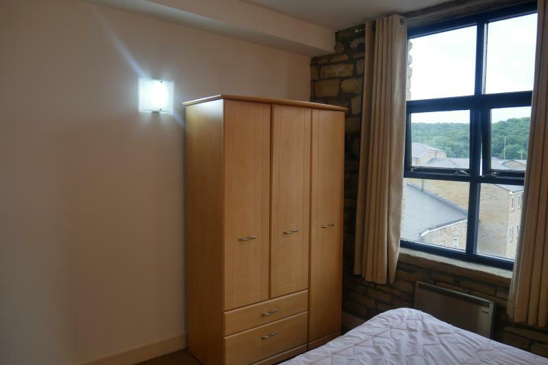
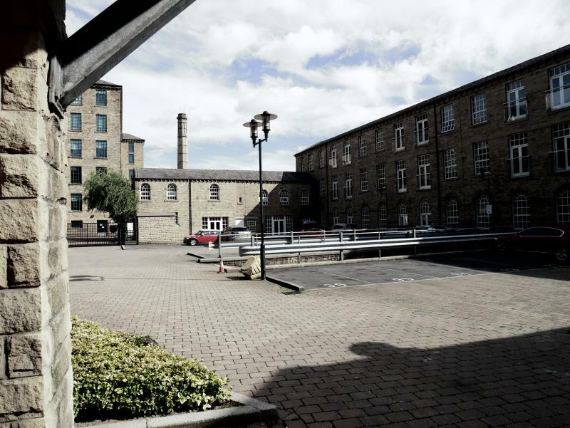
Photo 1 Photo 2 Photo 3 Photo 4 Photo 5 Photo 6 Photo 7 Photo 8 Photo 9 Photo 10
/ 10
Property details
Deprivation
Decile 3 (8,938 of 33,755)
Street crime
546 incidents within 1 mile (Apr 2026)
Additional details
- Parking
- Off street
Description
Spacious Entrance Hall with oak effect flooring, neutral paint work providing access to principal rooms and also to utility cupboard housing the hot water tank.
Open Plan Living Area with fetaure exposed stone work, new sofa & coffee table. Fully Integrated kitchen area with dishwasher, microwave, oven & ceramic hob & freestanding fridge/freezer.
South Facing Double Bedroom with double bed, triple door wardrobe with modern carpets. Luxury hotel style fully tiled Bathroom with shower over the bath, shower screen, wall hung toilet, basin mirror door cabinet.
Located in Phase II, only a few minutes walk to the University & the development has an on site gym, electric gates & secure key fob entry, burglar alarm system, concierge service.
Available Early March 2023 Rent £695 Deposit £801 EPC Rating: E Council Tax Band : A
Listed by
Huddersfield
Earnshaw Kay Estates
Reference: 131069588
Flood risk
Zone: 1
Risk: Low
Job (default Low)
EPC Graphs

EPC
Rental Range
Estimated market rent for Kirklees. Low = conservative, Realistic = average, Optimistic = best case.
Based on Local Authority from postcode lookup → Kirklees.
LHA (30th percentile) floor for Kirklees: £449/mo (Apr 2025 – Mar 2026)
Location
Nearby
Nearest stations, universities and amenities (distance from property).
| Type | Name | Distance |
|---|---|---|
| Bus stop | Kings Bridge Road Colne Road | 0.0 miles |
| Shop | Top News | 0.1 miles |
| Bus stop | Firth Street Queen Street South | 0.1 miles |
| Shop | Newsome Barbers | 0.1 miles |
| Train station | Huddersfield | 0.6 miles |
| Train station | Lockwood | 0.9 miles |
| Hospital | BMI Hospital Huddersfield | 1.5 miles |
| Hospital | Huddersfield Royal Infirmary | 1.8 miles |
| University | College of the Resurrection | 4.0 miles |
Street-level crime
| Category | Count |
|---|---|
| Violence and sexual offences | 189 |
| Anti-social behaviour | 67 |
| Shoplifting | 59 |
| Public order | 48 |
| Drugs | 41 |
| Other theft | 38 |
| Criminal damage and arson | 26 |
| Other crime | 20 |
| Burglary | 14 |
| Theft from the person | 13 |
| Vehicle crime | 12 |
| Possession of weapons | 9 |
| Robbery | 7 |
| Bicycle theft | 3 |
| Total incidents | 546 |
Within 1 mile during Apr 2026. Source: data.police.uk (England & Wales).
Schools nearby
Nearest open schools with Ofsted ratings (England). Closed schools are not shown. Data from Get Information about Schools and Ofsted.
| Name | Type | Distance | Ofsted |
|---|---|---|---|
| Kirklees College | Other | 0.3 miles | — (No rating) |
| University of Huddersfield | Other | 0.3 miles | — (No rating) |
| Woodley School and College | Other | 0.4 miles | Good — 4 Dec 2017 |
| Spring Grove Junior Infant and Nursery School | Primary | 0.5 miles | Outstanding — 27 Apr 2015 |
| Hillside Primary School | Primary | 0.6 miles | — (Inspected (no overall grade)) |
Rental Comparables
Loading rental comparables for this postcode. Refresh in a few minutes.