63 BOND STREET
STOKE-ON-TRENT, STOKE-ON-TRENT ST6 5HG
£750 pcm
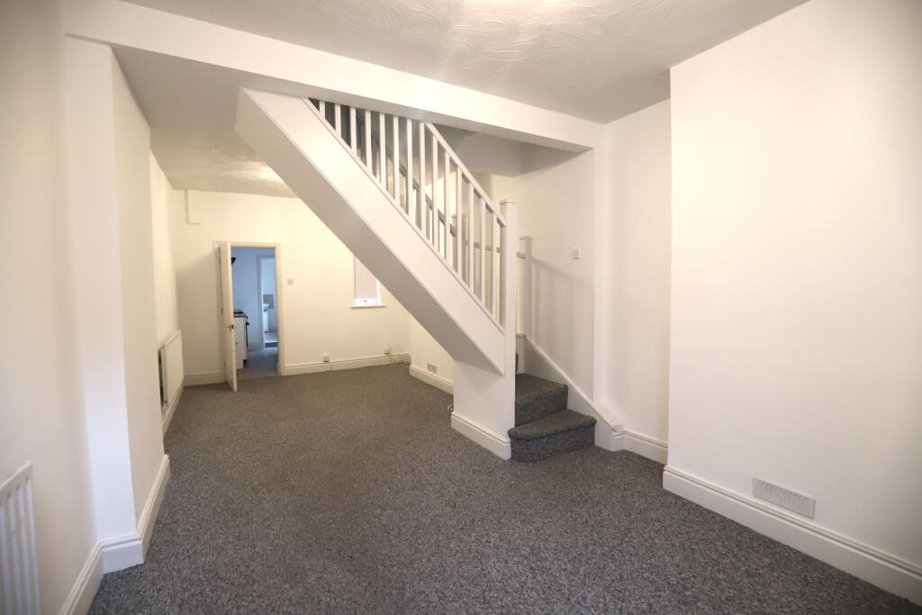
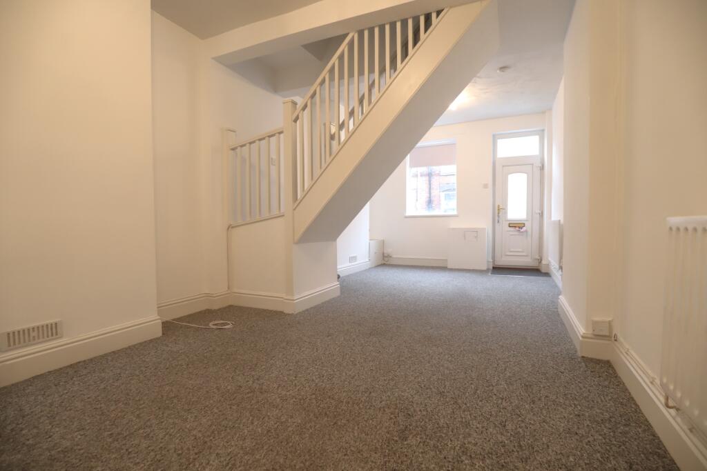
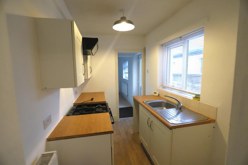
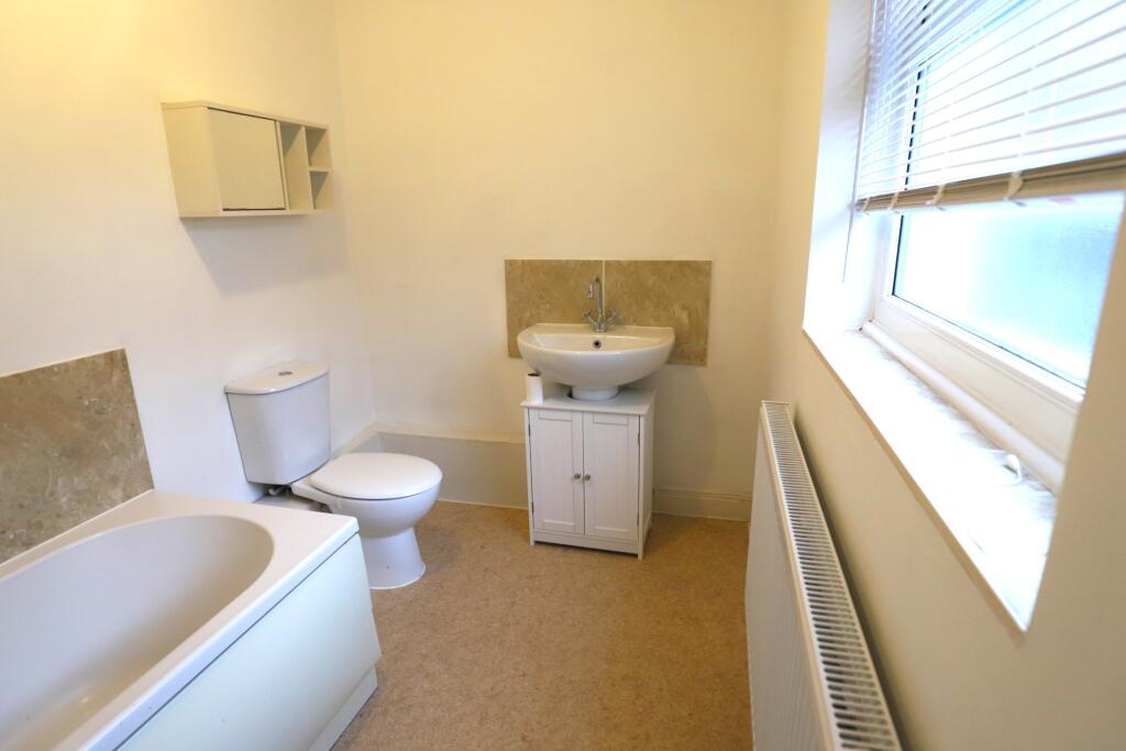
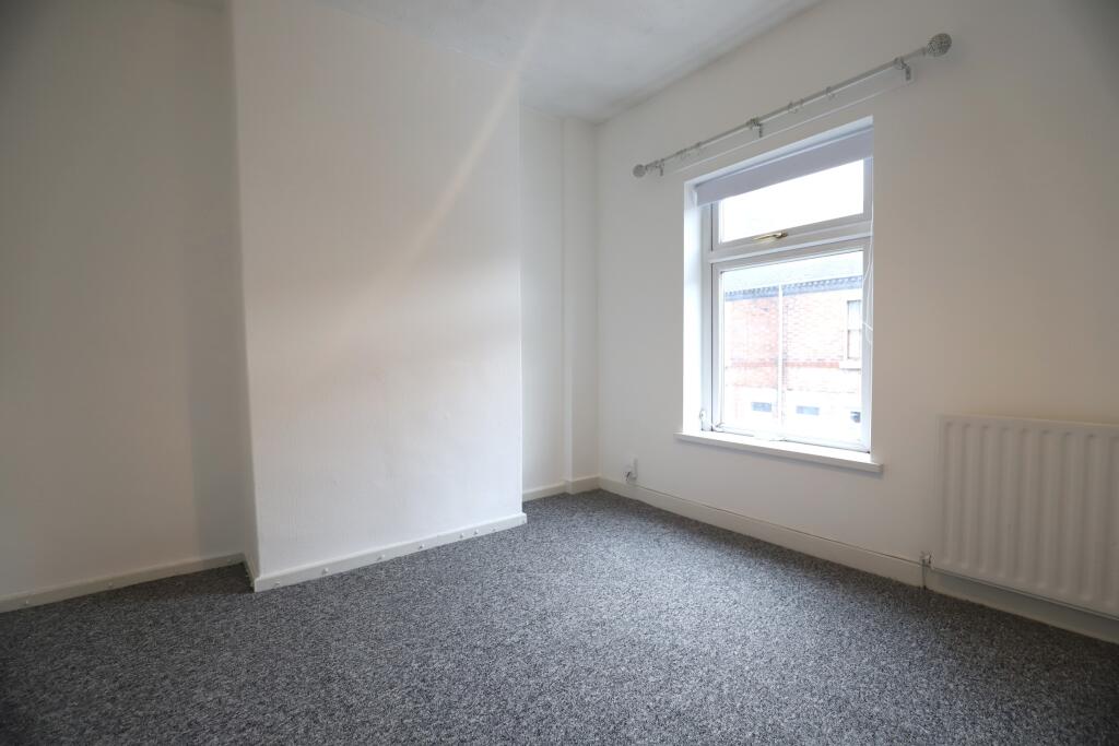
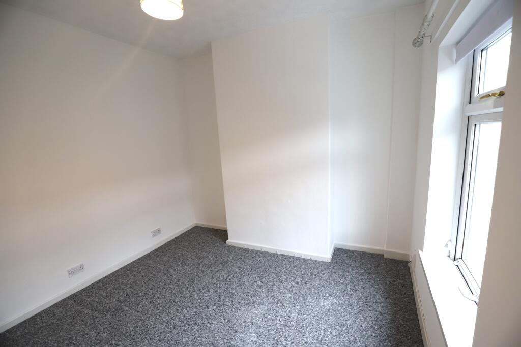
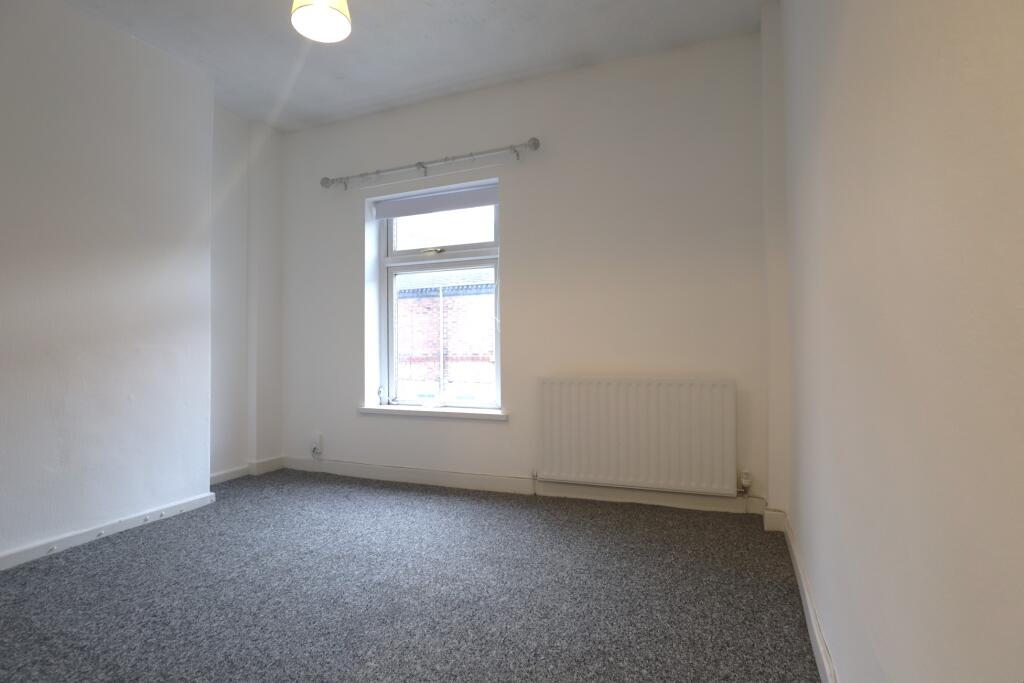
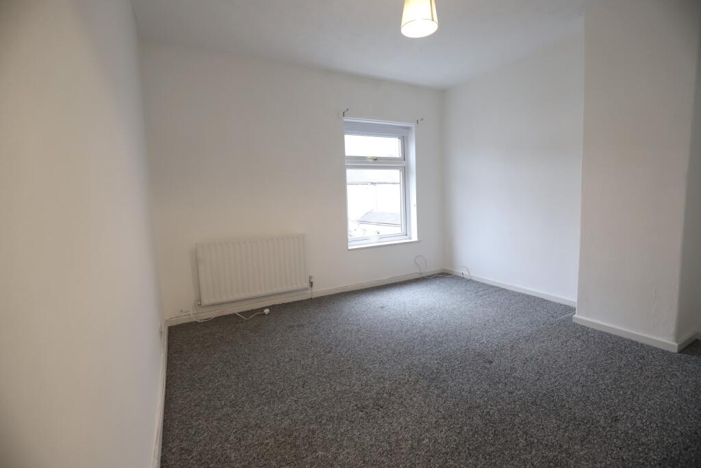
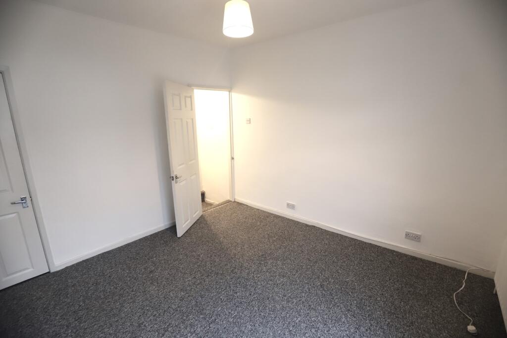
Photo 1 Photo 2 Photo 3 Photo 4 Photo 5 Photo 6 Photo 7 Photo 8 Photo 9
/ 9
Property details
Floor area
65 m²
Council tax band
A
EPC rating
C
Year built
England and Wales: 1900-1929
Deprivation
Decile 1 (1,715 of 33,755)
Street crime
266 incidents within 1 mile (Aug 2026)
Key features
- 2 Bedroom Unfurnished Home
- 2 Double Bedrooms
- Open Plan Reception Rooms
- Downstairs Bathroom
- Low Maintenance Yard
- Short Drive To A500
- Short Walk To Local Amenities
- EPC rating C
- Council Tax A
Additional details
- Garden
- Private garden
- Listed property
- No
Description
The ground floor comprises one large, open plan reception room, with stairs in the middle, leading to upstairs to both large double bedrooms which are carpeted throughout.
Back downstairs through the open plan reception room is fitted kitchen with an oven. The bathroom is also located on the ground floor and comprises WC, sink, bath and is accessible via the kitchen.
Whilst the details listed within this description are believed to be accurate and up to date you should check with the agent that any appliances listed will be present at the start of the let. Where a property is let unfurnished, should an appliance become faulty the landlord may not replace it - excluding cookers & boilers for which the landlord remains responsible. In some instances gas fires may have been disconnected where central heating systems are present. Where a property is advertised inclusive of bills, the bills will be subject to a fair usage allowance, details of this can be provided upon request and application.
EPC rating: C.
Listed by
Newcastle-Under-Lyme
The Property Franchise Group
Reference: 94949727
EPC Rating & Upgrade Cost
Current rating: C
Potential rating: B
Inspection date: 23/09/2023
Expiry date: 22/09/2033
Current heating cost: £937/year
Potential heating cost: £881/year
Est. upgrade cost to C: £14,500
Recommendations
- Floor insulation (solid floor) (£4,000 - £6,000)
- Solar water heating (£4,000 - £6,000)
- Solar photovoltaic panels, 2.5 kWp (£3,500 - £5,500)
Flood risk
Zone: 1
Risk: Low
Job (default Low)
Registered land (INSPIRE)
This location falls inside an HM Land Registry INSPIRE registered freehold polygon.
Plot: ~58 m² (0.01 acres)
Source: HM Land Registry INSPIRE Index Polygons.
Rental Range
Estimated market rent for Stoke-on-Trent. Low = conservative, Realistic = average, Optimistic = best case.
Based on Local Authority from postcode lookup → Stoke-on-Trent.
LHA (30th percentile) floor for Staffordshire North: £479/mo (Apr 2025 – Mar 2026)
Location
Nearby
Nearest stations, universities and amenities (distance from property).
| Type | Name | Distance |
|---|---|---|
| Bus stop | Tunstall, Furlong Road / Medical Centre | 0.2 miles |
| Bus stop | Tunstall, High Street / Furlong Road | 0.2 miles |
| Shop | Copy-CAD | 0.3 miles |
| Shop | Vana Mini Market | 0.5 miles |
| Hospital | Haywood Hospital Walk-in Centre | 1.2 miles |
| Train station | Longport | 1.5 miles |
| Train station | Kidsgrove | 2.0 miles |
| Hospital | Royal Stoke University Hospital | 4.2 miles |
| University | Keele University | 4.9 miles |
| University | Buxton & Leek College | 8.5 miles |
Street-level crime
| Category | Count |
|---|---|
| Violence and sexual offences | 93 |
| Anti-social behaviour | 53 |
| Criminal damage and arson | 24 |
| Public order | 23 |
| Shoplifting | 15 |
| Burglary | 13 |
| Other theft | 13 |
| Vehicle crime | 9 |
| Robbery | 6 |
| Drugs | 5 |
| Other crime | 5 |
| Bicycle theft | 4 |
| Possession of weapons | 3 |
| Total incidents | 266 |
Within 1 mile during Aug 2026. Source: data.police.uk (England & Wales).
Schools nearby
Nearest open schools with Ofsted ratings (England). Closed schools are not shown. Data from Get Information about Schools and Ofsted.
| Name | Type | Distance | Ofsted |
|---|---|---|---|
| Summerbank Primary Academy | Primary | 0.1 miles | Good — 10 Dec 2023 |
| Active Wellbeing School | Other | 0.4 miles | Requires improvement — 29 Nov 2023 |
| St Mary's Church of England Primary School | Primary | 0.5 miles | Outstanding — 13 Jun 2024 |
| Star Academy, Sandyford | Primary | 0.5 miles | Good — 9 Nov 2022 |
| St Wilfrid's Catholic Primary School | Primary | 0.6 miles | Good — 12 Jun 2017 |
Rental Comparables
Residential lets from OpenRent and Rightmove for the area (same bedroom count). Use to validate rent estimates. Student lets are excluded.
| Title | Rent | Beds | Distance | As seen on |
|---|---|---|---|---|
| Bond Street, Tunstall, ST6 | £750/mo | 2 | 0 miles | Rightmove |
| Bond Street, Stoke-on-trent | £750/mo | 2 | 0.01 miles | Rightmove |
| 2 Bed Terraced House, Bond Street, ST6 | £650/mo | 2 | 0.02 miles | OpenRent |
| Furlong Road, Stoke-on-Trent, Staffordshire, ST6 | £700/mo | 2 | 0.24 miles | Rightmove |
| Machin Street, ST6 | £825/mo | 2 | 0.34 miles | Rightmove |
| Salisbury Street,Tunstall, Stoke-on-Trent | £775/mo | 2 | 0.38 miles | Rightmove |
| High Street, Stoke-on-trent | £625/mo | 2 | 0.39 miles | Rightmove |
| The Boulevard, Stoke-on-Trent, ST6 | £595/mo | — | 0.49 miles | Rightmove |
| Wignall Road, Sandyford, ST6 | £800/mo | 2 | 0.57 miles | Rightmove |
| Wignall Road, Sandyford, Stoke-On-Trent | £795/mo | 2 | 0.57 miles | Rightmove |
| Colley Road, Stoke-On-Trent | £825/mo | 2 | 0.85 miles | Rightmove |
| Lancashire Court, Federation Road | £650/mo | 2 | 1.2 miles | Rightmove |
| Stanfield Road, ST6 | £675/mo | 2 | 1.35 miles | Rightmove |
| Molly Lees, Baddeley Street | £600/mo | 2 | 1.35 miles | Rightmove |
| West Terrace, STOKE-ON-TRENT | £820/mo | 2 | 1.36 miles | Rightmove |
| Stanfield Road, Burslem, Stoke-on-Trent, Staffordshire, ST6 | £750/mo | 2 | 1.39 miles | Rightmove |
| Leigh Street, STOKE-ON-TRENT | £800/mo | 2 | 1.4 miles | Rightmove |
| Westmorland Close, Stoke on Trent. ST6 6UR | £950/mo | 2 | 1.42 miles | Rightmove |
| Hamil Road, Stoke-On-Trent, ST6 | £775/mo | 2 | 1.43 miles | Rightmove |
| Hamil Road, Burslem | £795/mo | 2 | 1.44 miles | Rightmove |
Average rent: £757/mo (43 listings)