10 SILVERDALE ROAD
NEWCASTLE, STAFFORDSHIRE ST5 2TB
£800 pcm
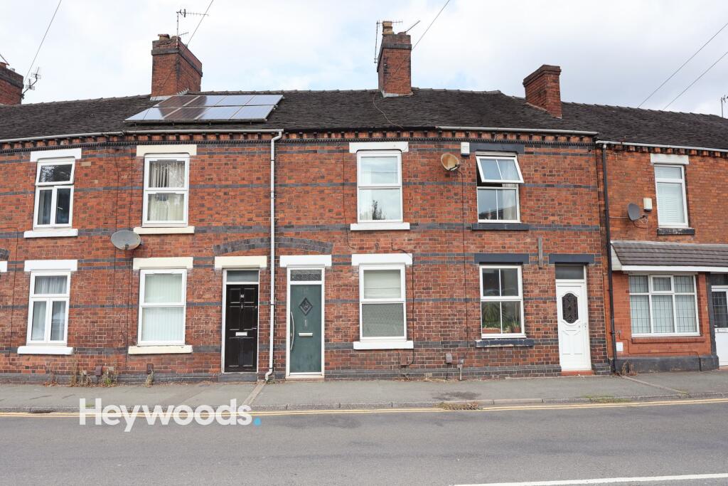
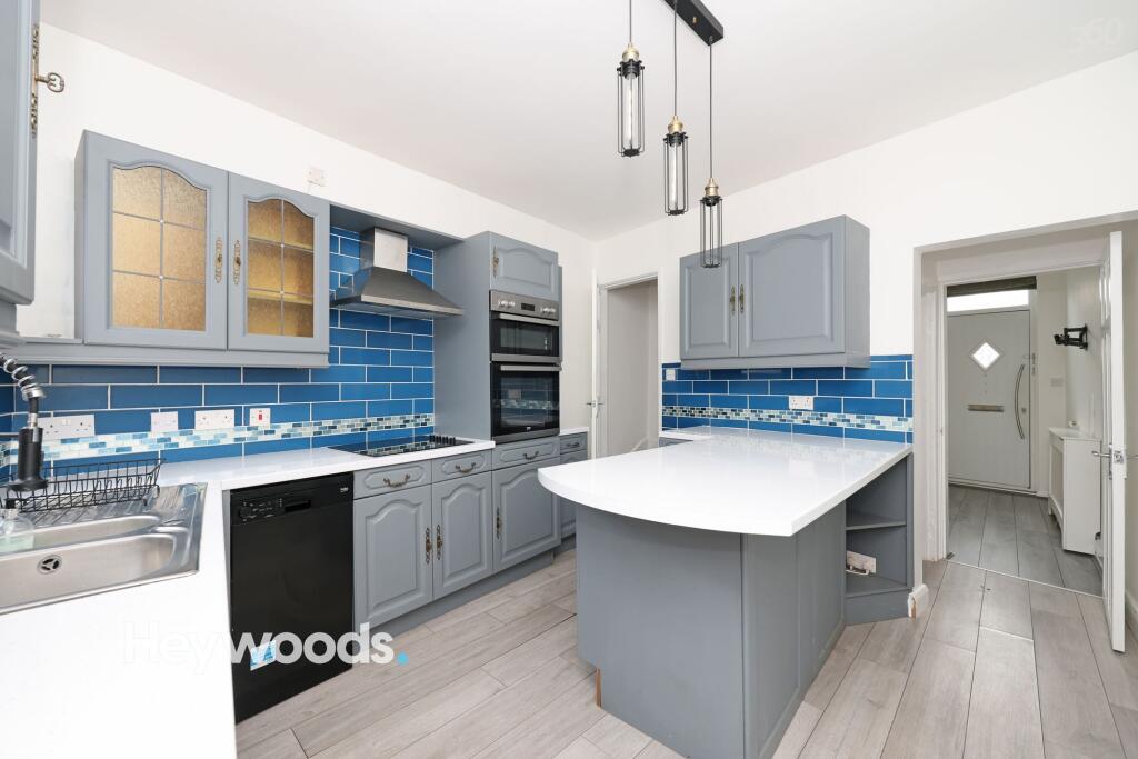
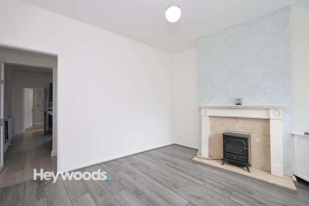
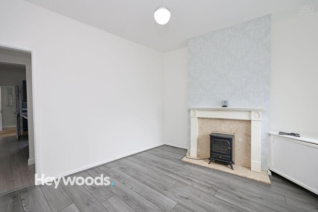
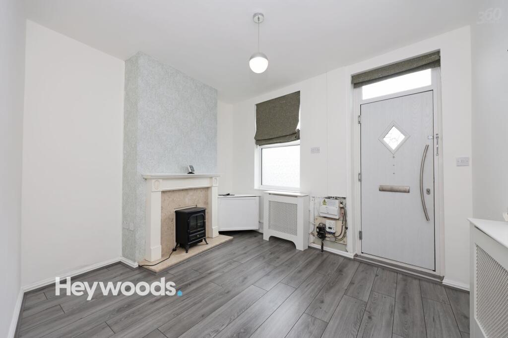
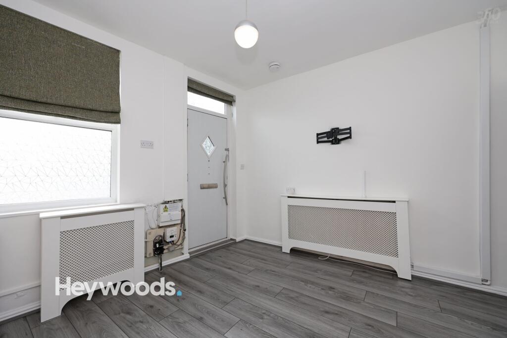
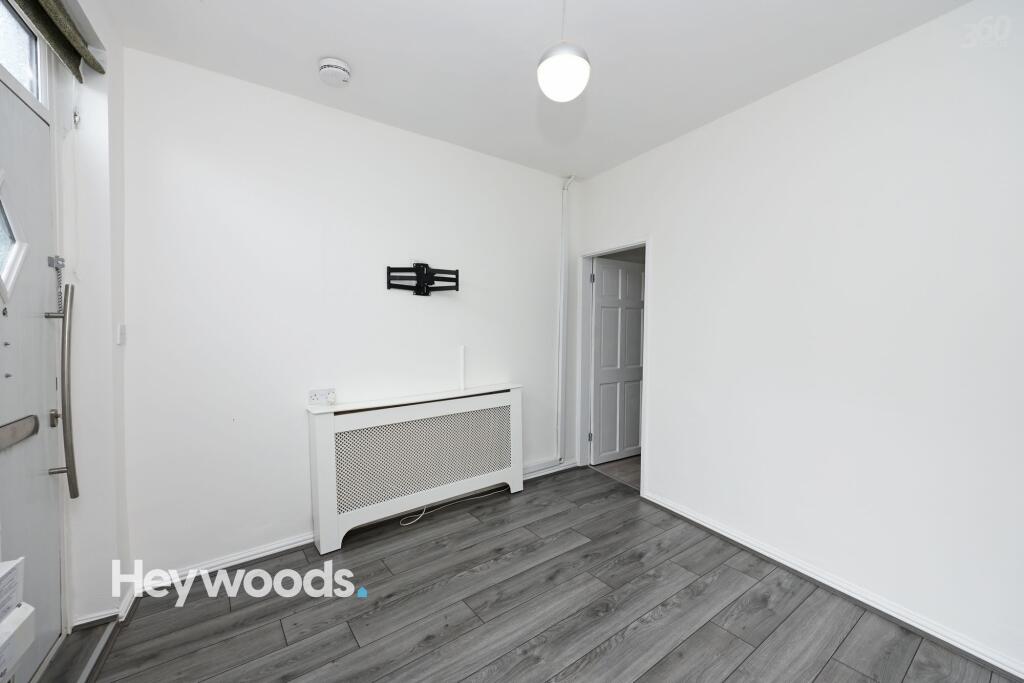
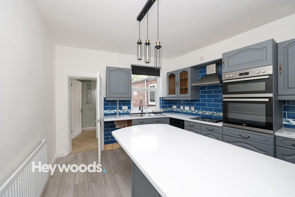
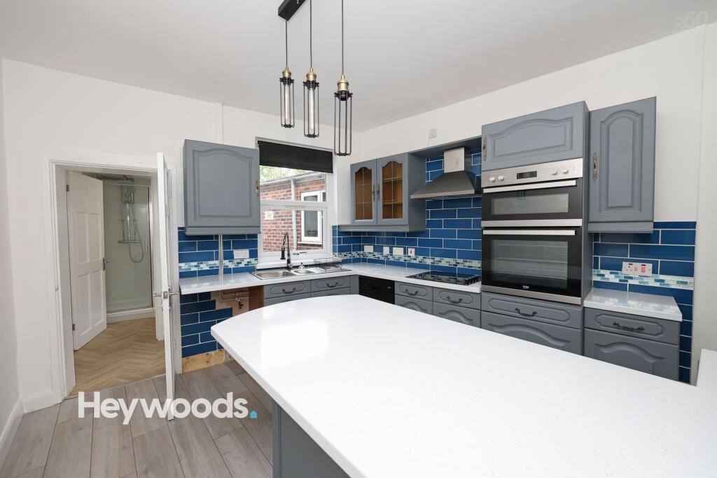
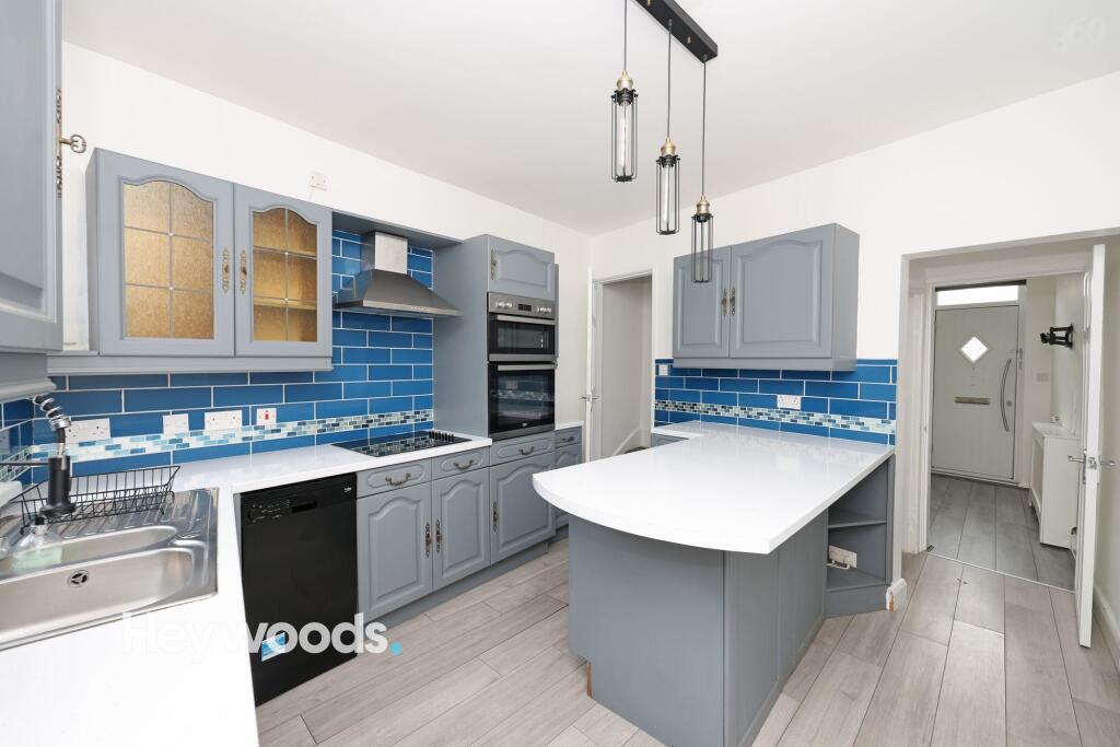
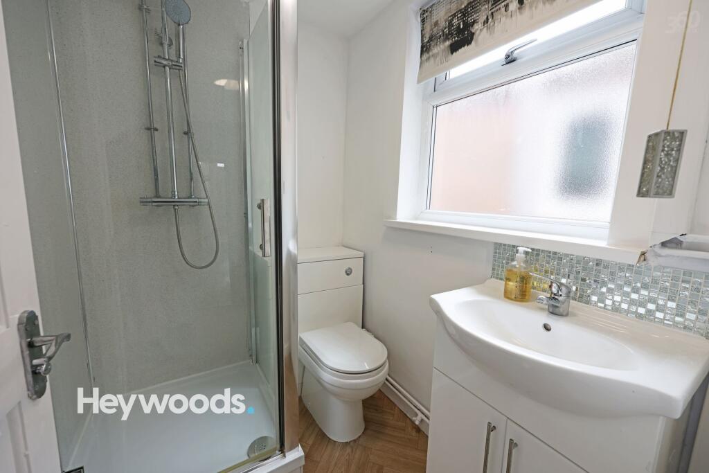
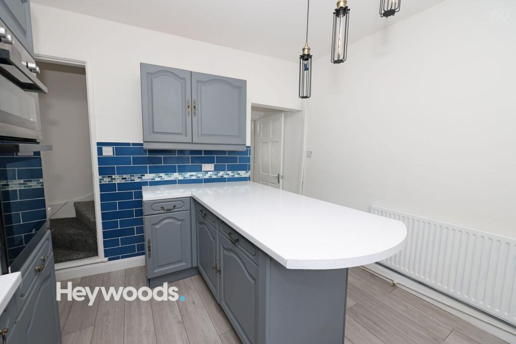
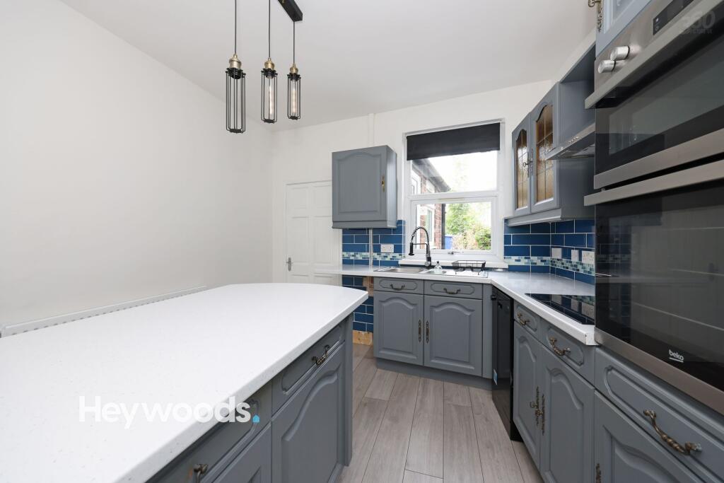
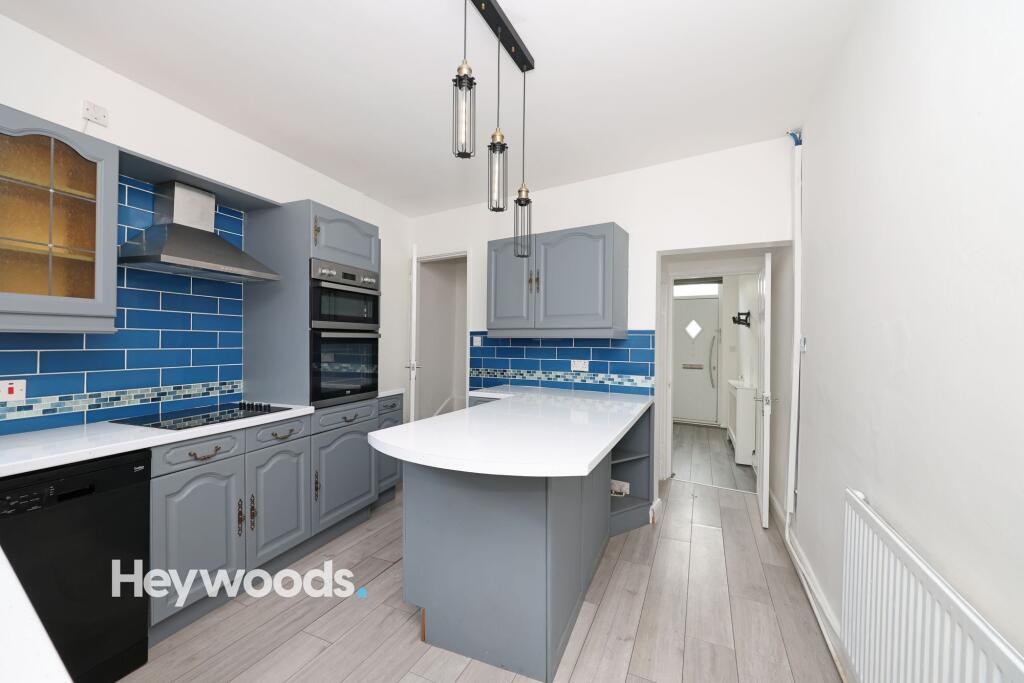
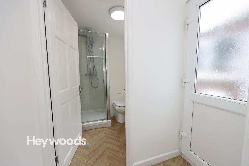
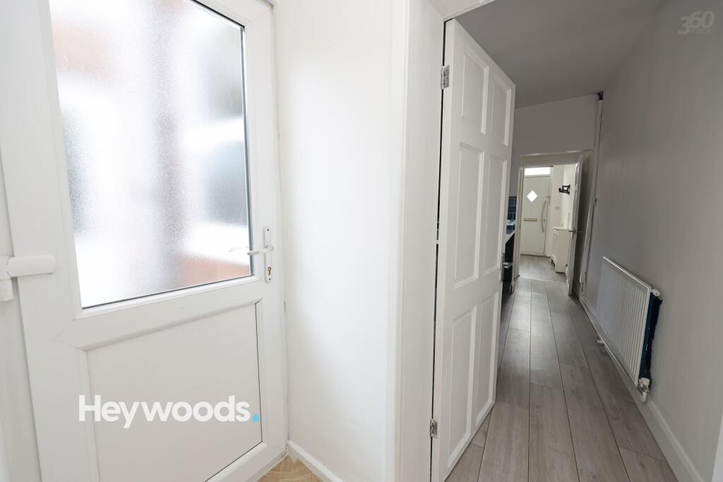
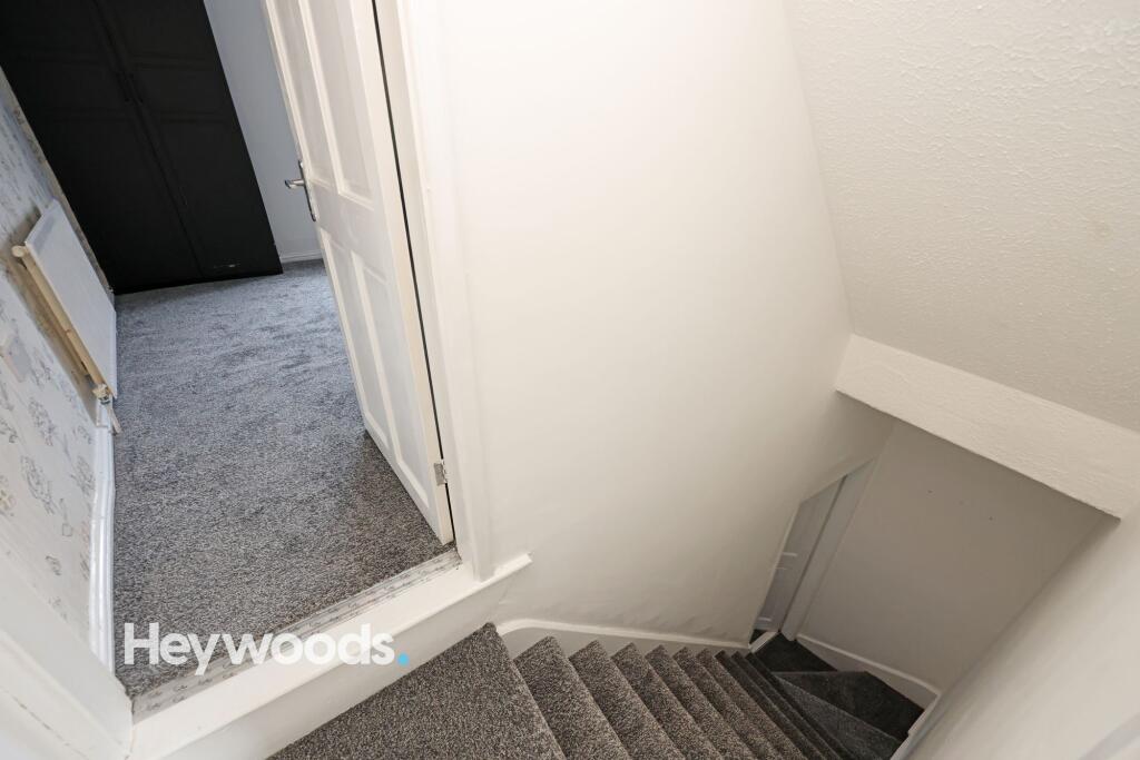
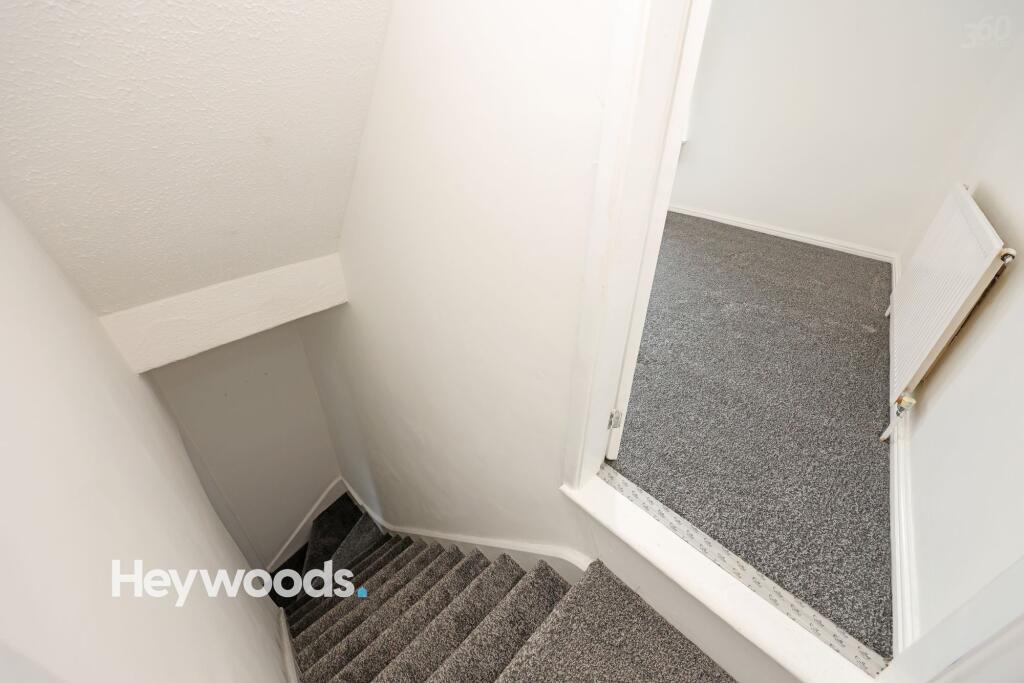
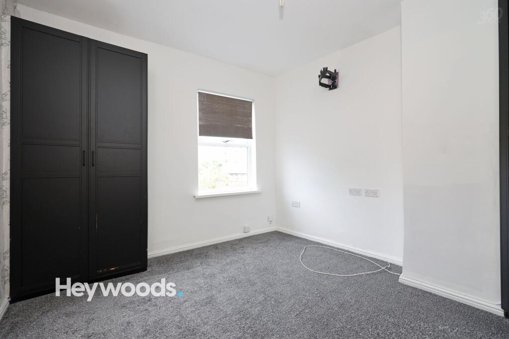
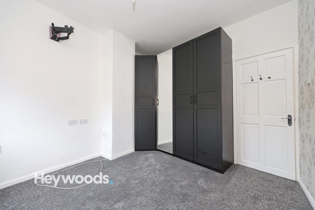
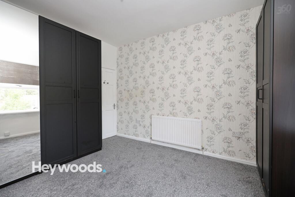
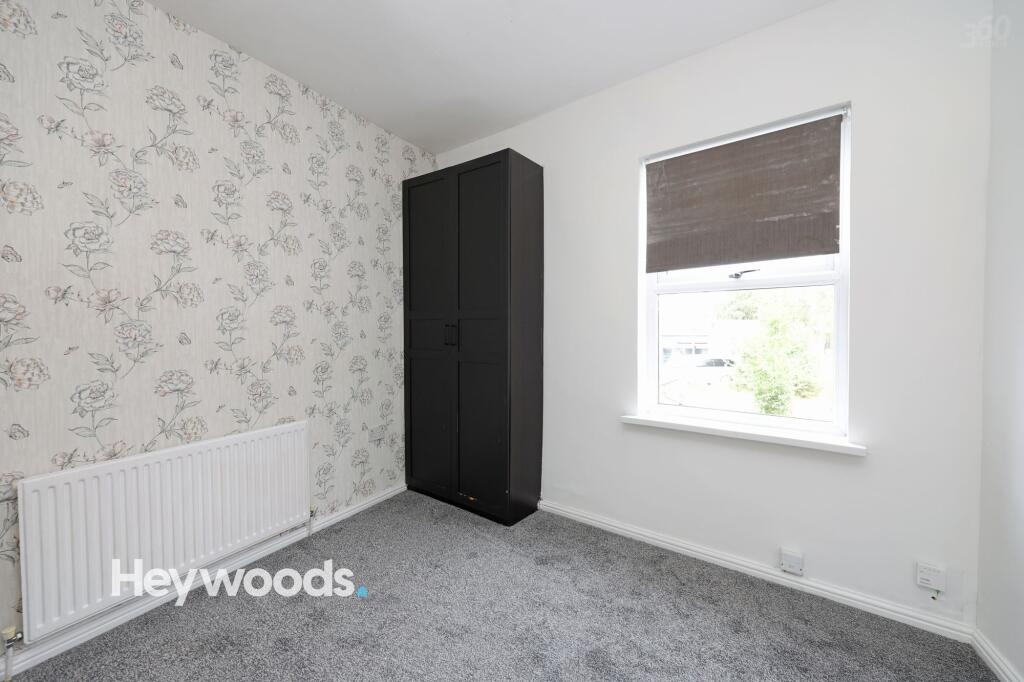
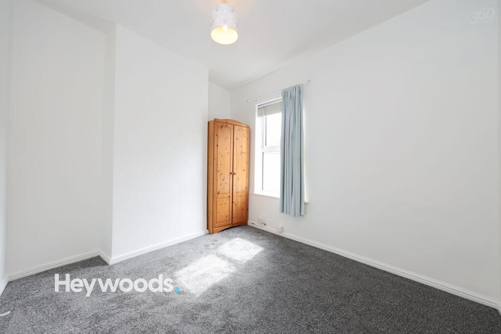
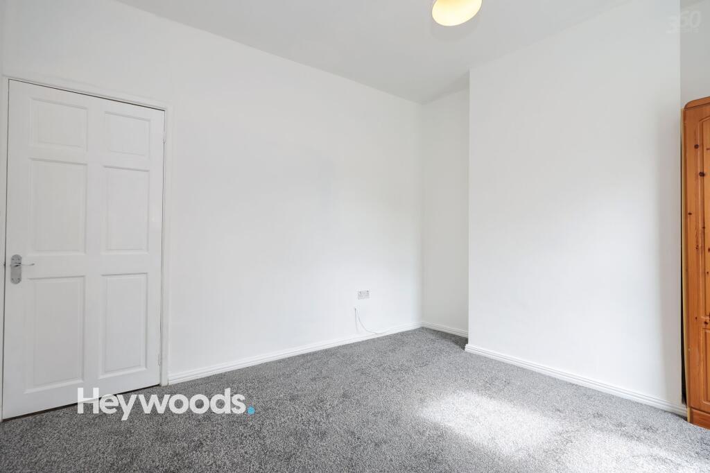
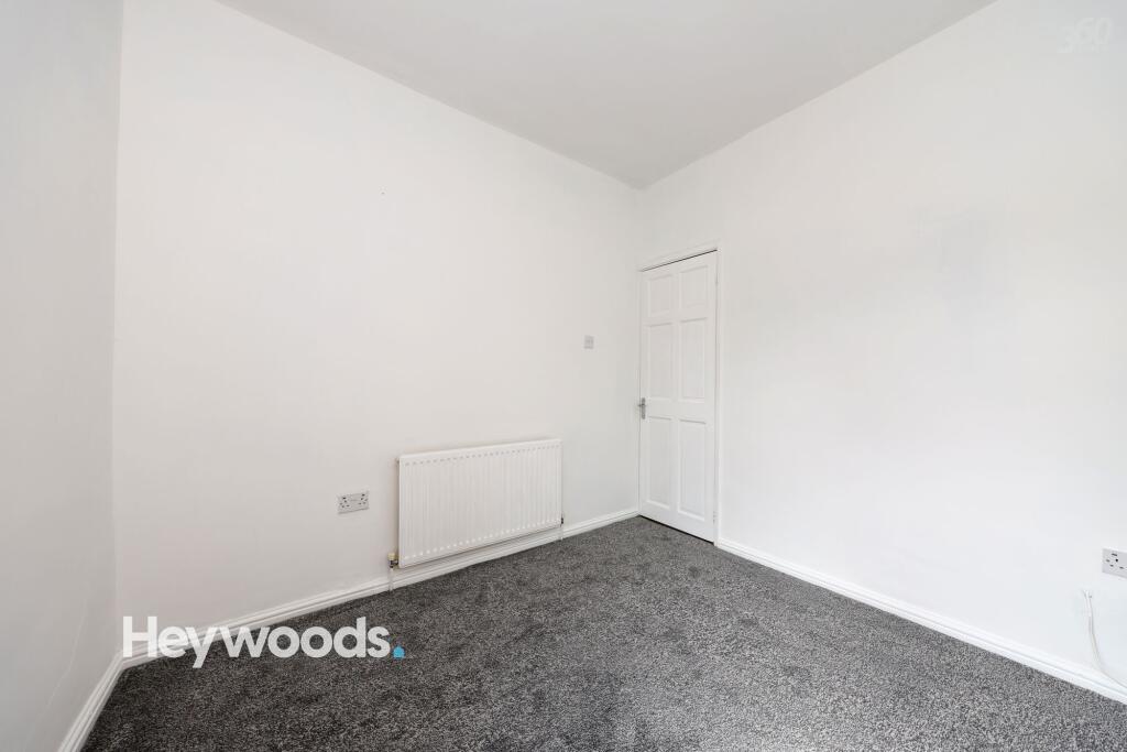
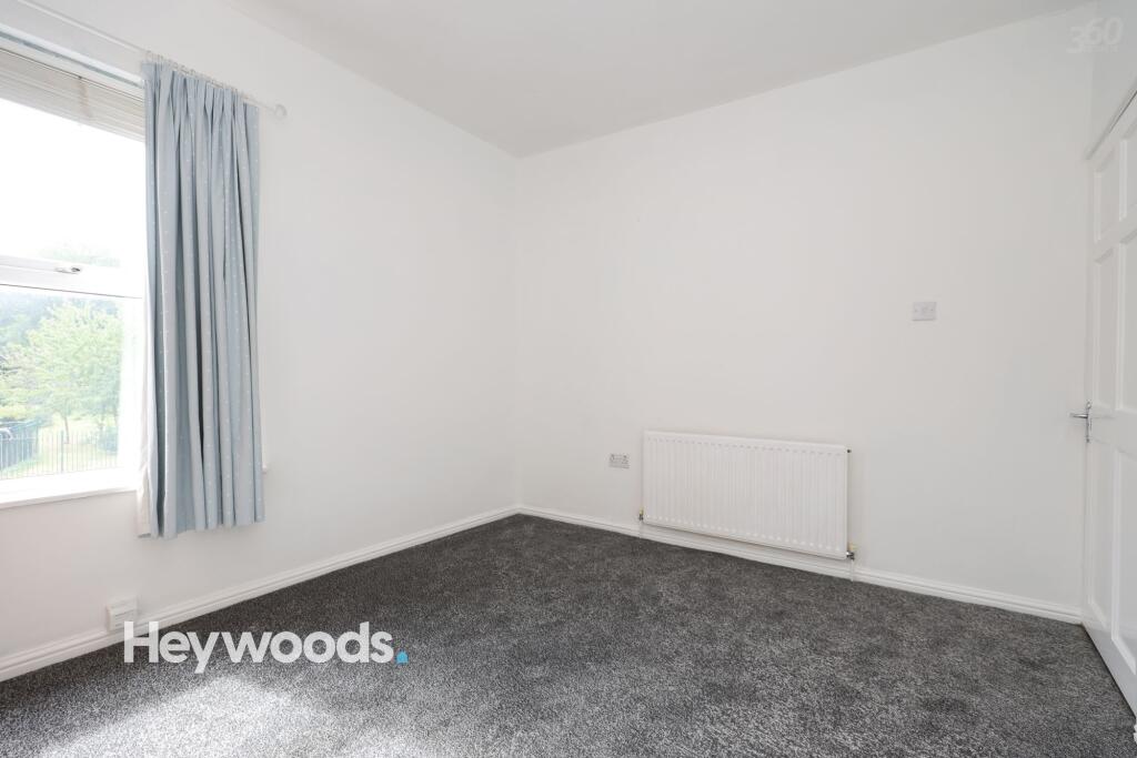
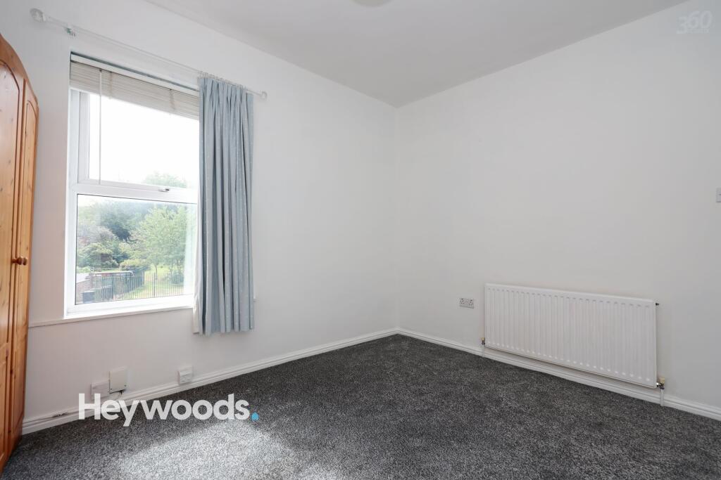
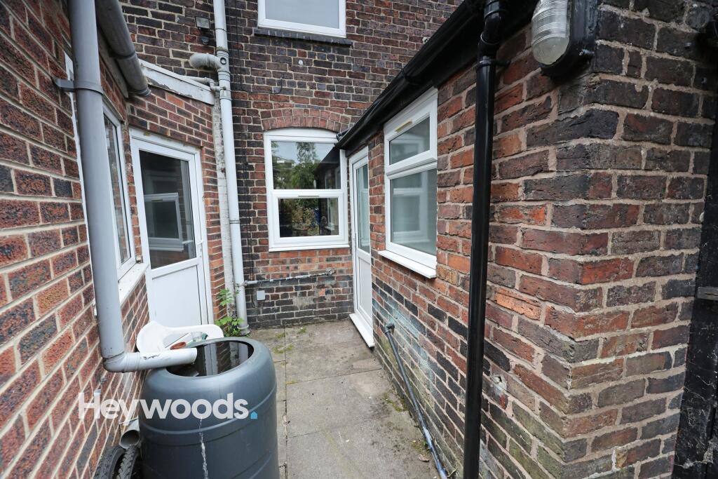
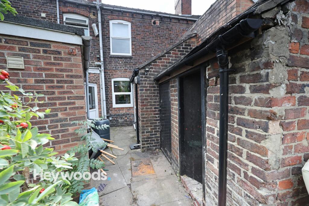
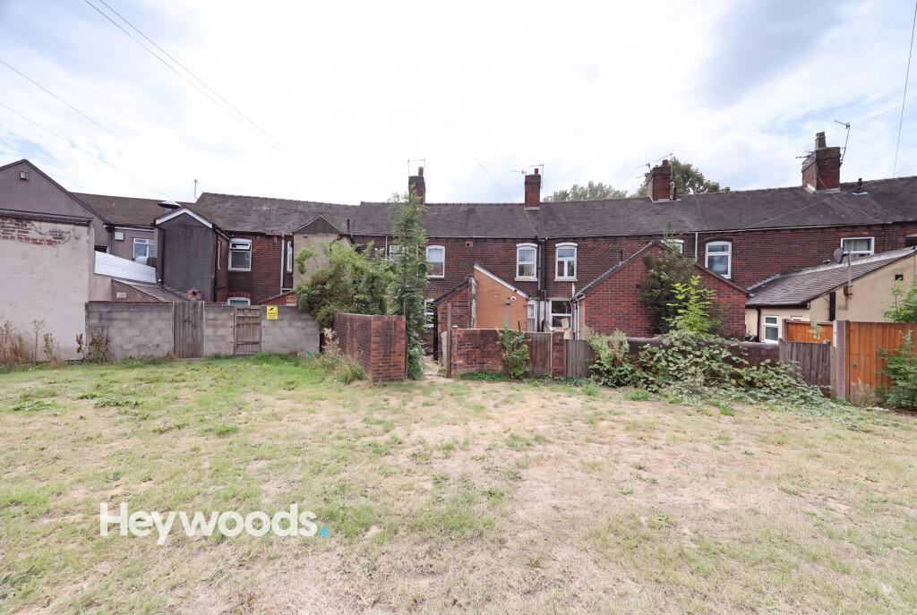
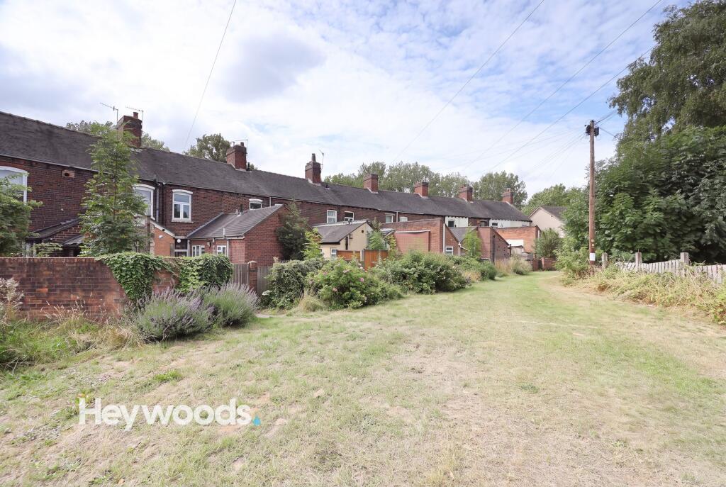
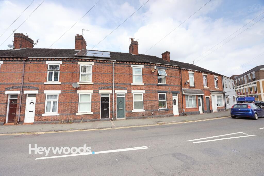
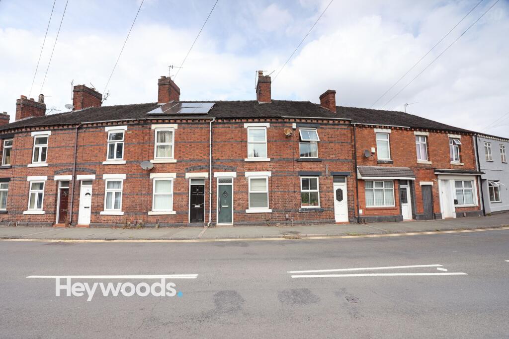
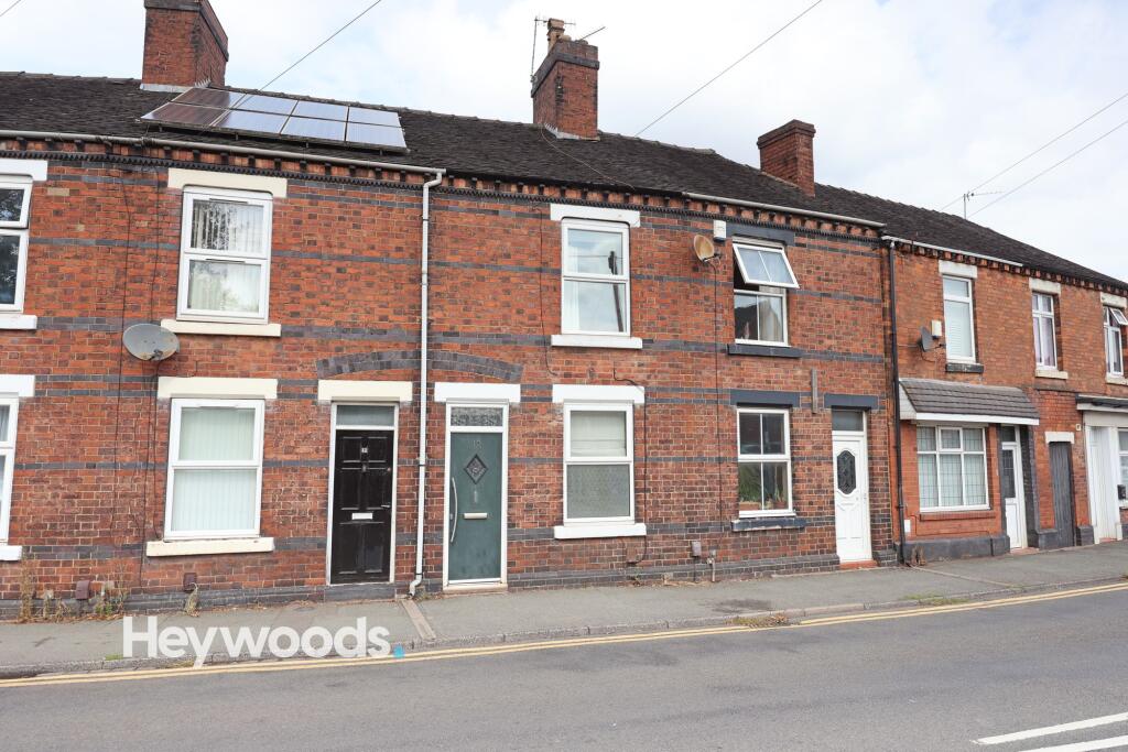
Photo 1 Photo 2 Photo 3 Photo 4 Photo 5 Photo 6 Photo 7 Photo 8 Photo 9 Photo 10 Photo 11 Photo 12 Photo 13 Photo 14 Photo 15 Photo 16 Photo 17 Photo 18 Photo 19 Photo 20 Photo 21 Photo 22 Photo 23 Photo 24 Photo 25 Photo 26 Photo 27 Photo 28 Photo 29 Photo 30 Photo 31 Photo 32 Photo 33 Photo 34
/ 34
Property details
Floor area
48 m²
Council tax band
A
EPC rating
D
Year built
England and Wales: 1900-1929
Deprivation
Decile 4 (11,963 of 33,755)
Street crime
381 incidents within 1 mile (Aug 2026)
Key features
- Two double bedrooms
- Mid Terrace Property
- Spacious Kitchen with Breakfast Bar
- Shared rear yard
- Great Location to UNHM and Keele Uni
Additional details
- Garden
- Yes
- Listed property
- No
- Restrictions
- No
- Required access
- No
- Rights of way
- No
- Flooded in last 5 years
- No
- Flood defences
- No
Description
As you step inside, you'll find yourself in the front reception room, which features a UPVC double-glazed window that offers a pleasant view of the front aspect and floods the room with natural light. Moving through you transition into the well-maintained kitchen, which is both clean and tidy, featuring an integrated breakfast bar, oven and hob and space for various appliances. The bathroom, accessed from the kitchen includes a wash hand basin, WC, and a shower. Outside is a shared rear yard area with space for bins.
Heading upstairs, the staircase leads directly to the two double bedrooms. Both bedrooms benefits from an array of natural light and offers ample space for a bed, wardrobe, and desk. Similarly, the rear bedroom provides a generous amount of space and natural light, making it a comfortable and versatile living area.
EPC Rating: D
Listed by
Newcastle-under-Lyme
Heywoods
Reference: 92455917
EPC Rating & Upgrade Cost
Current rating: D
Potential rating: B
Inspection date: 25/08/2022
Expiry date: 24/08/2032
Current heating cost: £417/year
Potential heating cost: £355/year
Est. upgrade cost to C: £18,500
Recommendations
- 50 mm internal or external wall insulation (£4,000 - £14,000)
- Solar water heating (£4,000 - £6,000)
- Solar photovoltaic panels, 2.5 kWp (£3,500 - £5,500)
Flood risk
Zone: 1
Risk: Low
Job (default Low)
Registered land (INSPIRE)
This location falls inside an HM Land Registry INSPIRE registered freehold polygon.
Plot: ~53 m² (0.01 acres)
Source: HM Land Registry INSPIRE Index Polygons.
EPC Graphs
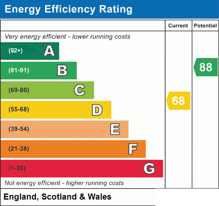
EPC 1
FENSA Certificates
This property has 1 FENSA certificate(s) on record, indicating window/door installations by FENSA-approved installers.
FENSA Certificate #13340682
Property Details
Street: 10 Silverdale Road
Town: NEWCASTLE
Postcode: ST5 2TB
Installation Details
Items: 1 door
Certificate Issued: 07/01/2019
Work Completed: 30/11/2018
This certificate data was retrieved from FENSA's database
What is FENSA? FENSA (Fenestration Self-Assessment Scheme) is a government-authorised scheme that monitors building regulation compliance for replacement windows and doors. Certificates indicate that work was completed by FENSA-approved installers.
Rental Range
Estimated market rent for Newcastle-under-Lyme. Low = conservative, Realistic = average, Optimistic = best case.
Based on Local Authority from postcode lookup → Newcastle-under-Lyme.
LHA (30th percentile) floor for Staffordshire North: £479/mo (Apr 2025 – Mar 2026)
Location
Nearby
Nearest stations, universities and amenities (distance from property).
| Type | Name | Distance |
|---|---|---|
| Bus stop | Queen Elizabeth Park | 0.1 miles |
| Bus stop | Orme Queen Elizabeth Park | 0.1 miles |
| Shop | Timpson | 0.2 miles |
| Shop | The ECig and CBD store | 0.3 miles |
| Hospital | Royal Stoke University Hospital | 0.9 miles |
| Hospital | North Staffordshire Hospital | 1.6 miles |
| University | Keele University | 1.8 miles |
| Train station | Stoke-on-Trent | 2.1 miles |
| Train station | Silverdale | 2.1 miles |
| University | University of Staffordshire Stoke Campus | 2.4 miles |
Street-level crime
| Category | Count |
|---|---|
| Violence and sexual offences | 131 |
| Anti-social behaviour | 109 |
| Shoplifting | 32 |
| Public order | 21 |
| Other theft | 19 |
| Criminal damage and arson | 17 |
| Vehicle crime | 11 |
| Burglary | 10 |
| Drugs | 10 |
| Other crime | 6 |
| Bicycle theft | 5 |
| Robbery | 5 |
| Possession of weapons | 3 |
| Theft from the person | 2 |
| Total incidents | 381 |
Within 1 mile during Aug 2026. Source: data.police.uk (England & Wales).
Schools nearby
Nearest open schools with Ofsted ratings (England). Closed schools are not shown. Data from Get Information about Schools and Ofsted.
| Name | Type | Distance | Ofsted |
|---|---|---|---|
| St Giles' and St George's Church of England Academy | Primary | 0.1 miles | Good — 21 May 2023 |
| Blackfriars Academy | Other | 0.1 miles | Outstanding — 6 Feb 2013 |
| St Mary's Catholic Primary School | Primary | 0.2 miles | Good — 17 Feb 2017 |
| Hassell Primary School | Primary | 0.3 miles | Good — 25 Oct 2023 |
| Newcastle and Stafford Colleges Group | Other | 0.4 miles | — (No rating) |
Rental Comparables
Residential lets from OpenRent and Rightmove for the area (same bedroom count). Use to validate rent estimates. Student lets are excluded.
Average rent: £816/mo (54 listings)