58 WINDSOR STREET
LUTON, LUTON LU1 5DT
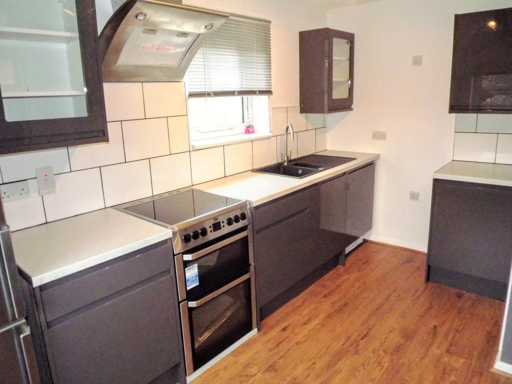

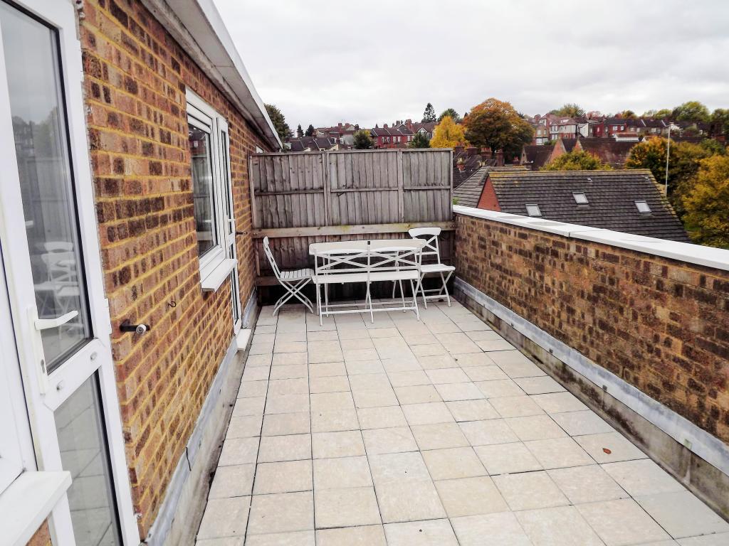
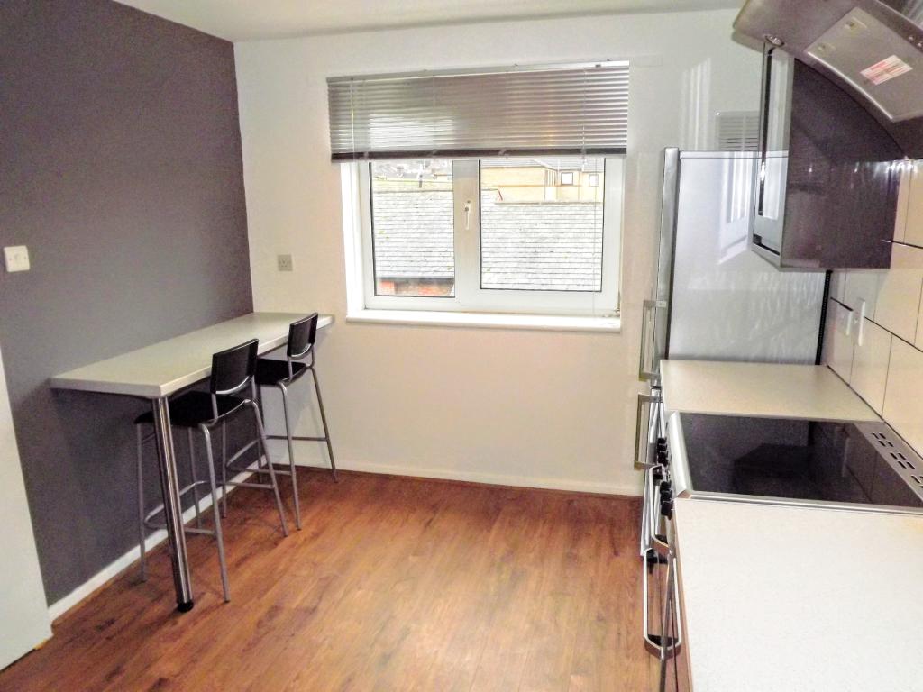
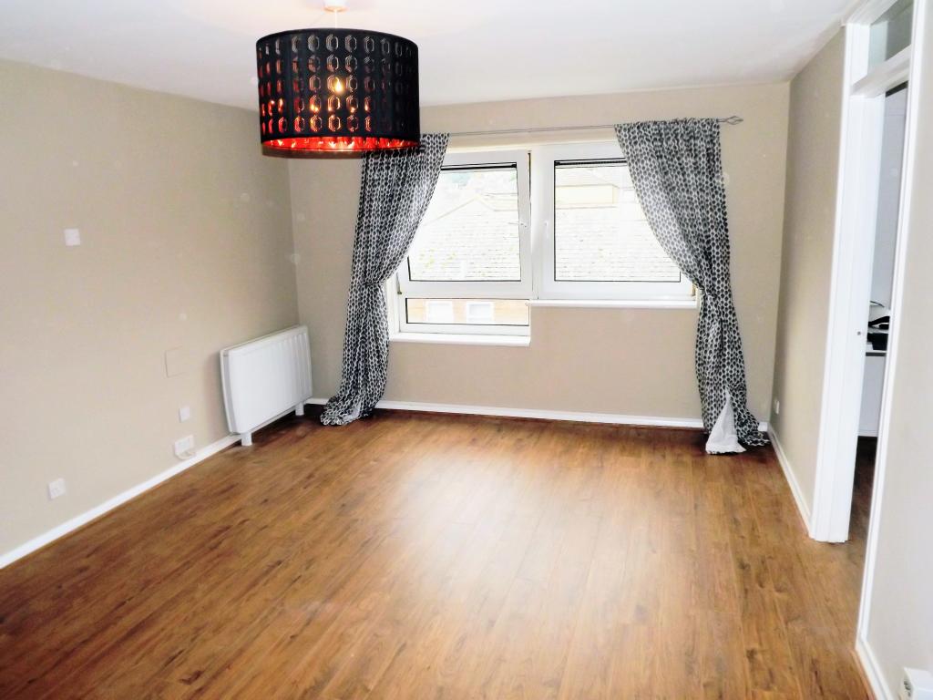
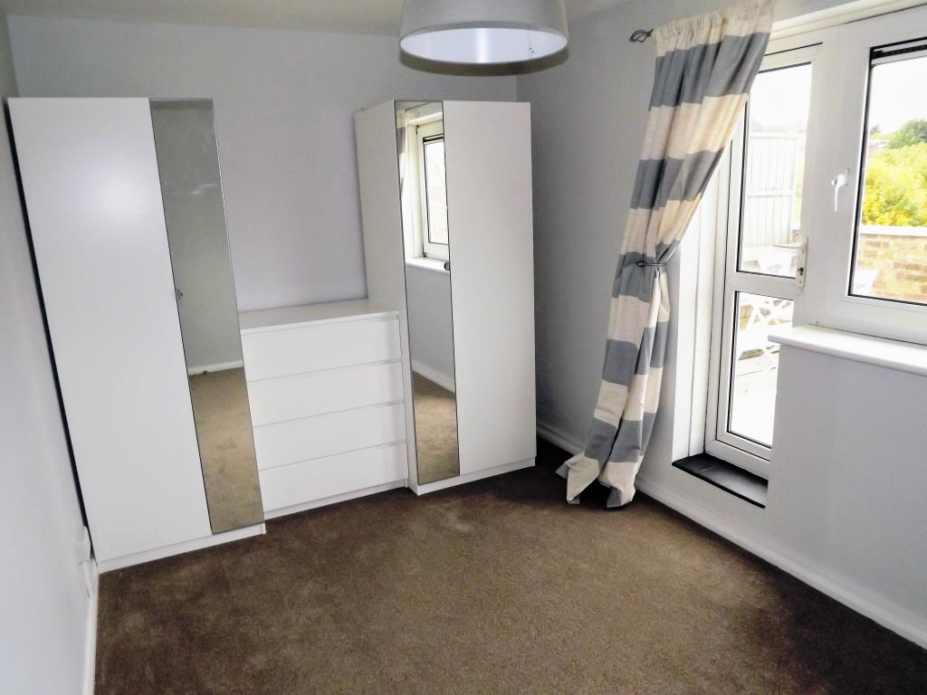
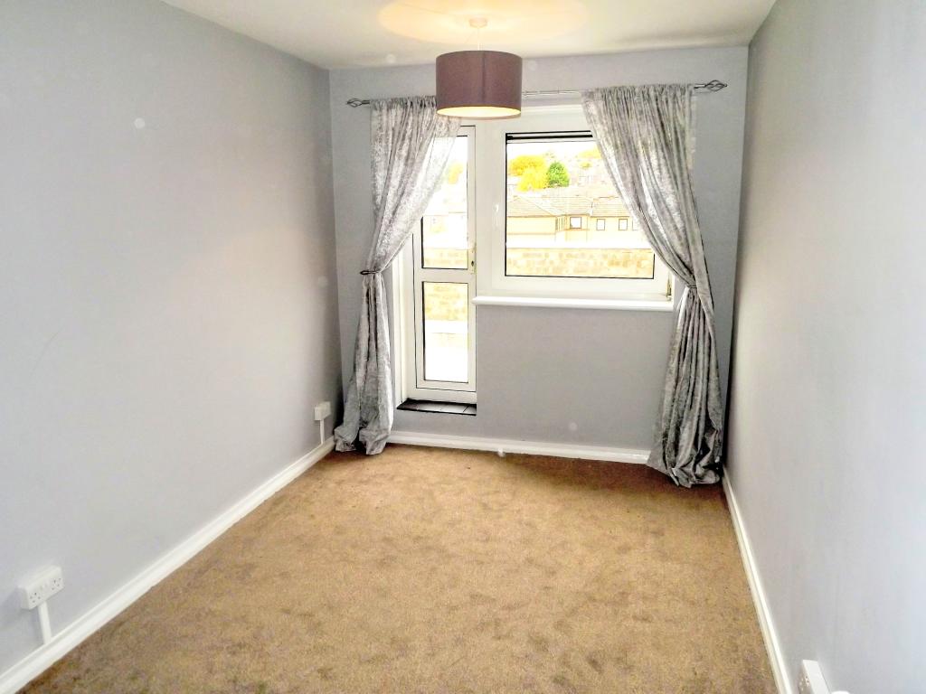
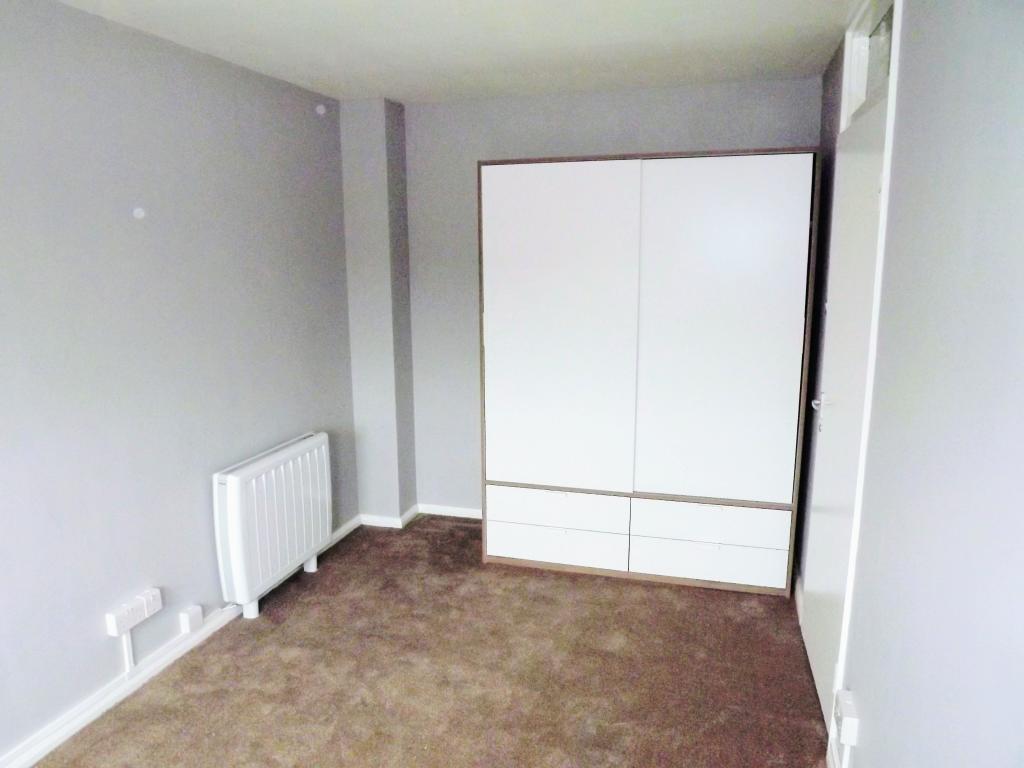
Photo 1 Photo 2 Photo 3 Photo 4 Photo 5 Photo 6 Photo 7 Photo 8
/ 8
Property details
Floor area
82 m²
Deprivation
Decile 3 (7,638 of 33,755)
Street crime
858 incidents within 1 mile (Apr 2026)
Key features
- Town Centre
- Sorry, no pets
- Split level apartment
- Sorry, no DSS
- Large private balcony
- Kitchen with appliances included
- Lots of space available in each room
Additional details
- Parking
- Yes
Description
With a centrally located train station (London is a 30 minute train journey away) and Junction 10 of the M1 within driving distance, any property within this area is always going to rent quickly, the location has a perfect mix of residential and commuter qualities that is tough to find anywhere else. Young families always prove particularly keen to live in this area thanks to a wide selection of infant and primary schools.
Call Taylors today to speak to Sophie or Dearna about the next steps for moving in to your new property.
Listed by
Luton
Countrywide UK Lettings - Connells
Reference: 64583194
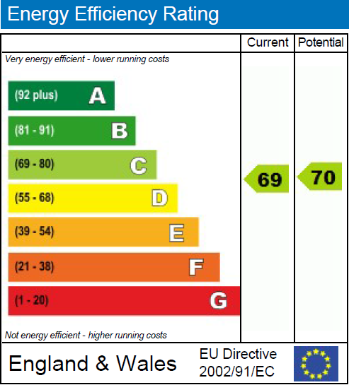
EPC Rating & Upgrade Cost
Fetching EPC data… Refresh this page in a moment.
Flood risk
Zone: 1
Risk: Low
Job (default Low)
EPC Graphs
EPC 1
Company ownership
Registered legal owner is a company.
Company: THE MAYOR ALDERMEN AND BURGESSES OF THE COUNTY BOROUGH OF LUTON
Rental Range
Estimated market rent for Luton. Low = conservative, Realistic = average, Optimistic = best case.
Based on Local Authority from postcode lookup → Luton.
LHA (30th percentile) floor for Luton: £873/mo (Apr 2025 – Mar 2026)
Location
Nearby
Nearest stations, universities and amenities (distance from property).
| Type | Name | Distance |
|---|---|---|
| Shop | Continental Food Store | 0.1 miles |
| Shop | Family Choice | 0.1 miles |
| Bus stop | Elizabeth Street | 0.1 miles |
| Bus stop | Russell Street | 0.1 miles |
| University | University Of Bedfordshire | 0.4 miles |
| Train station | Luton | 0.6 miles |
| Train station | Luton Airport Parkway | 1.0 miles |
| Hospital | Luton and Dunstable Hospital | 2.8 miles |
| Hospital | Widecombe Nursing Home | 3.0 miles |
Street-level crime
| Category | Count |
|---|---|
| Violence and sexual offences | 292 |
| Anti-social behaviour | 111 |
| Shoplifting | 76 |
| Other theft | 72 |
| Vehicle crime | 70 |
| Public order | 67 |
| Drugs | 47 |
| Criminal damage and arson | 46 |
| Other crime | 17 |
| Burglary | 16 |
| Robbery | 15 |
| Bicycle theft | 11 |
| Theft from the person | 10 |
| Possession of weapons | 8 |
| Total incidents | 858 |
Within 1 mile during Apr 2026. Source: data.police.uk (England & Wales).
Schools nearby
Nearest open schools with Ofsted ratings (England). Closed schools are not shown. Data from Get Information about Schools and Ofsted.
| Name | Type | Distance | Ofsted |
|---|---|---|---|
| Chapel Street Nursery School | Nursery | 0.0 miles | Good — 22 Mar 2013 |
| Hillborough Junior School | Primary | 0.3 miles | Outstanding — 14 Jan 2024 |
| Hillborough Infant and Nursery School | Primary | 0.3 miles | Good — 13 Jun 2017 |
| Rothesay Nursery School | Nursery | 0.3 miles | Good — 9 Sep 2016 |
| Tennyson Road Primary School | Primary | 0.3 miles | Outstanding — 1 Jul 2024 |
Rental Comparables
Rental listings exist nearby, but none matched the 2-bedroom count for this property.