Emfield Road
Scartho, Grimsby, DN33, DN33 3BT
£925 pcm
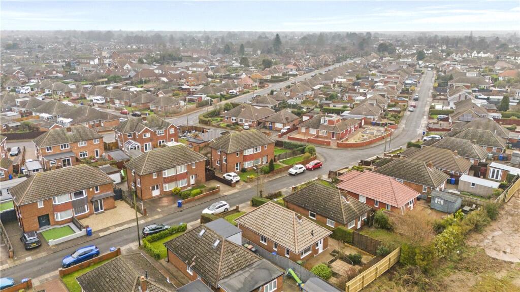
Picture No. 22 Picture No. 09 Picture No. 10 Picture No. 11 Picture No. 12 Picture No. 14 Picture No. 13 Picture No. 03 Picture No. 04 Picture No. 05 Picture No. 07 Picture No. 15 Picture No. 16 Picture No. 17 Picture No. 24 Picture No. 23 Picture No. 18 Picture No. 20 Picture No. 21 Picture No. 26 Picture No. 28
/ 21
Property details
Council tax band
B
Deprivation
Decile 8 (26,219 of 33,755)
Street crime
60 incidents within 1 mile (Aug 2026)
Key features
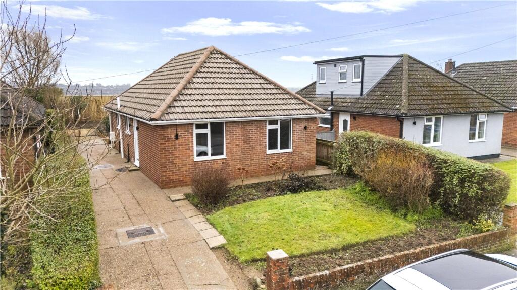
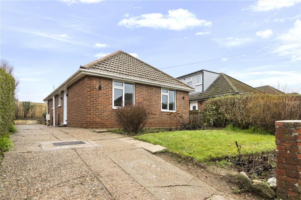
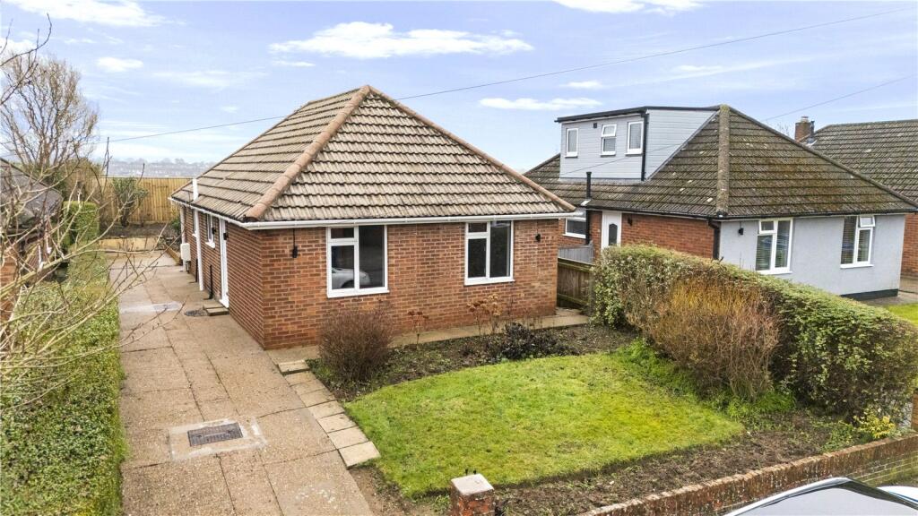
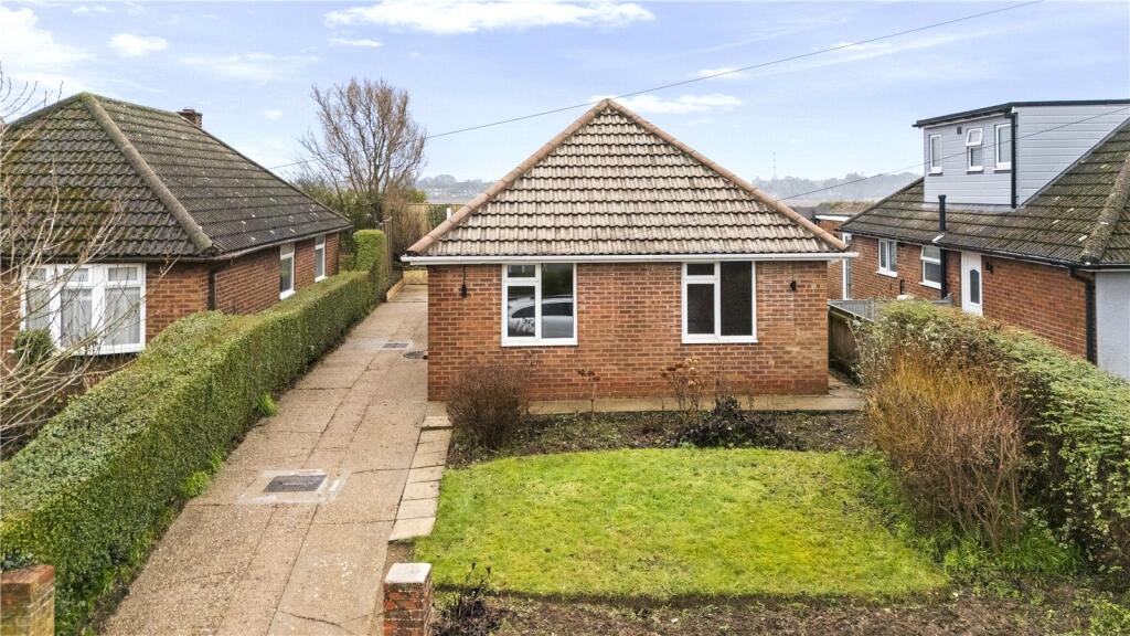
- Detached Bungalow
- 3 Bedrooms
- Off Road Parking
- Double Glazed and Gas Central Heating
- Total Income required £29,600 Per Annum
- Holding Deposit £75 (Per Tenancy)
- Deposit £1065
- Council Tax Band B
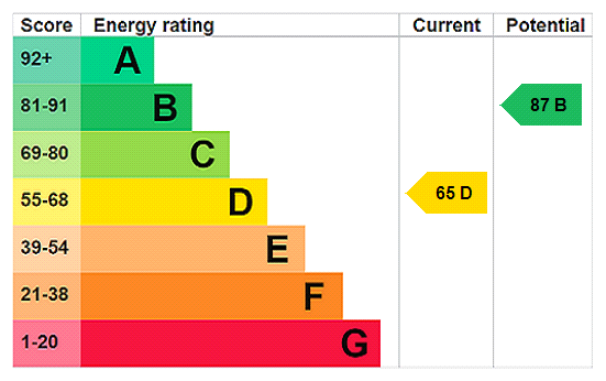
- EPC-D
Additional details
- Parking
- Yes
- Garden
- Yes
Description
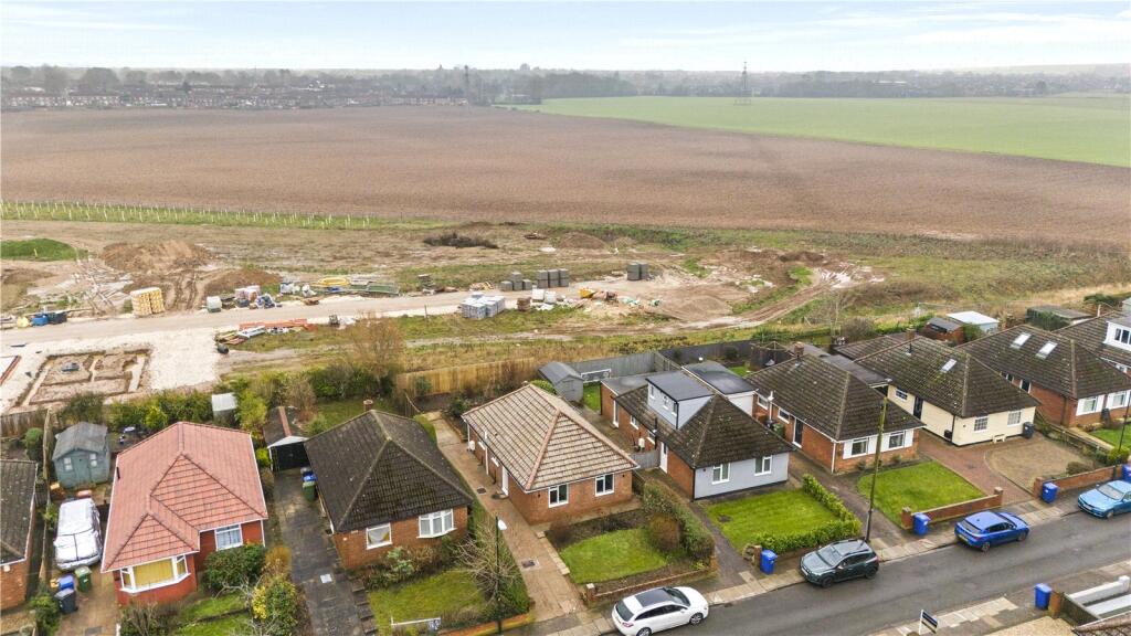
Situated on the outskirts of the popular Scartho Village, the property boasts excellent links to a wide range of local amenities as well as close community distance to Princess Diana of Wales Hospital, Grimsby College and the Grimsby town centre itself.
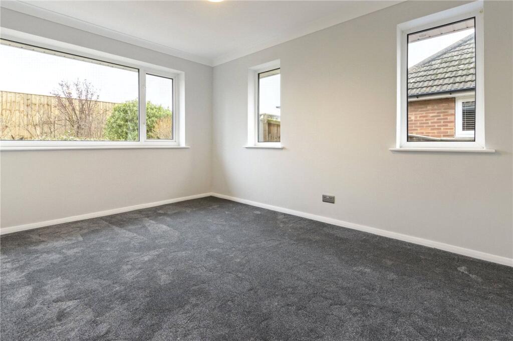
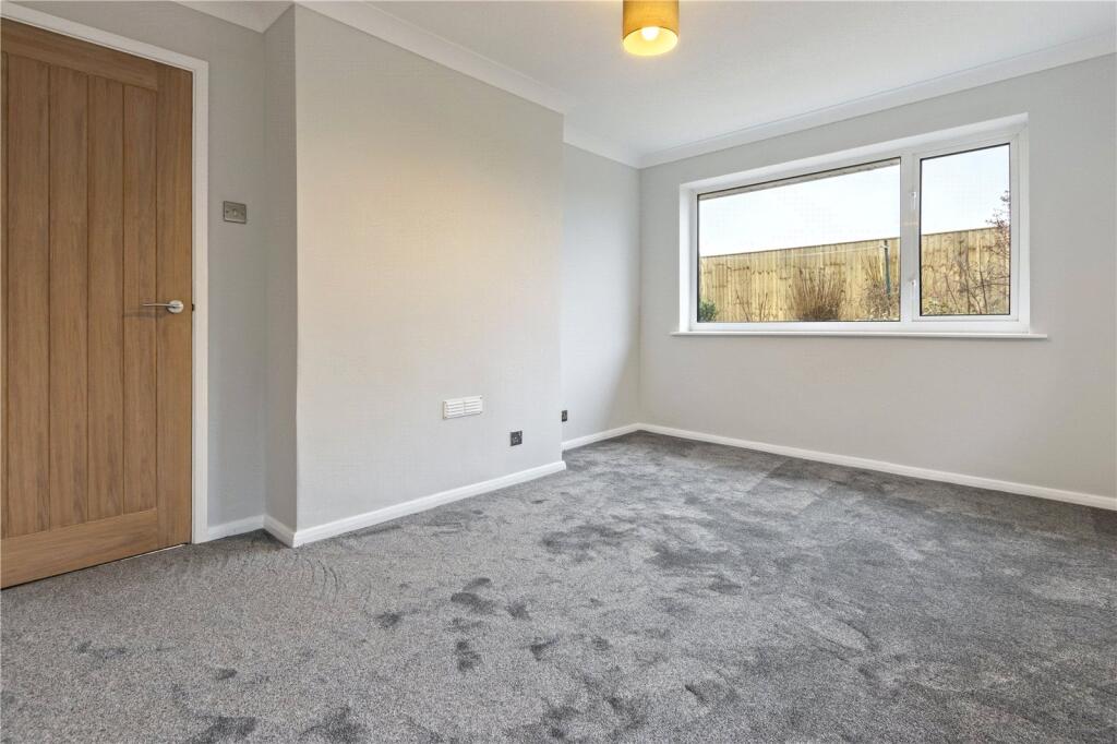
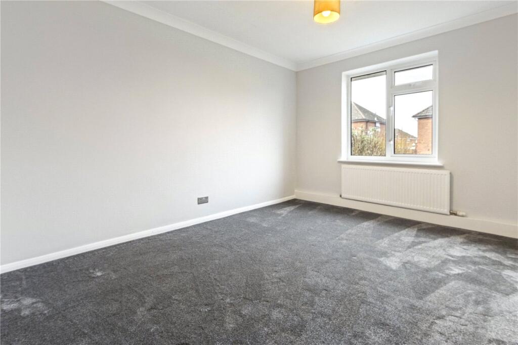
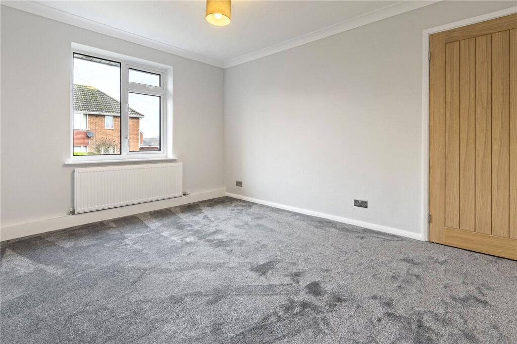
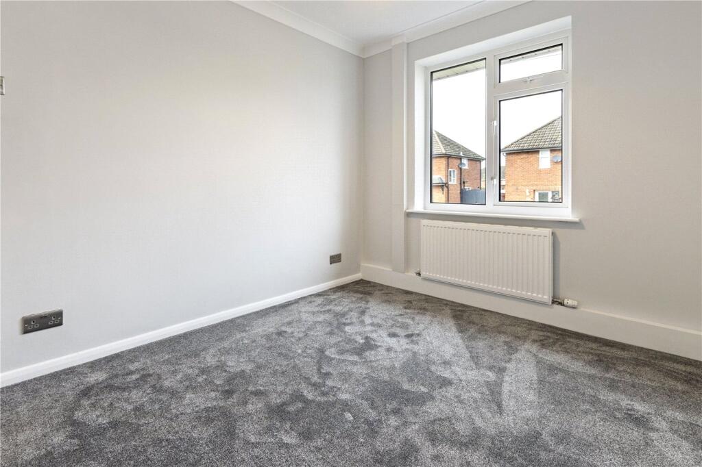
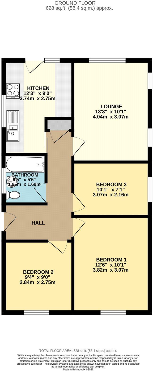
The bungalow consists of a spacious and well appointed, dual aspect lounge while three well-proportioned bedrooms offer a range of versatile, comfortable and flexible spaces.
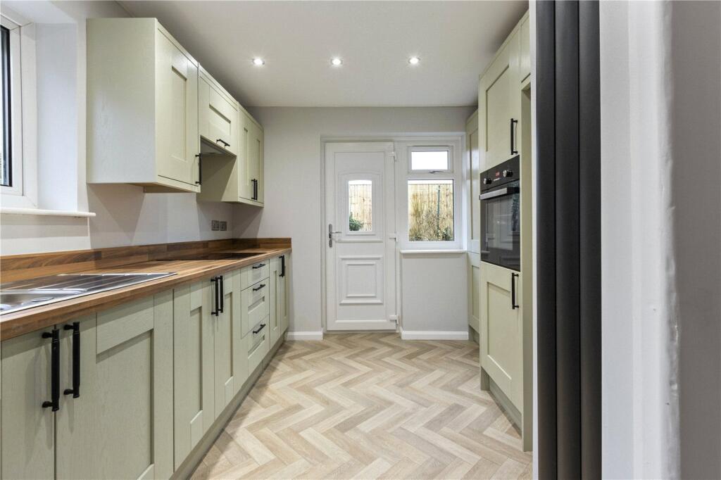
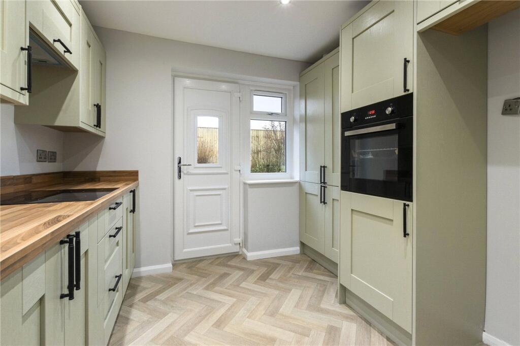
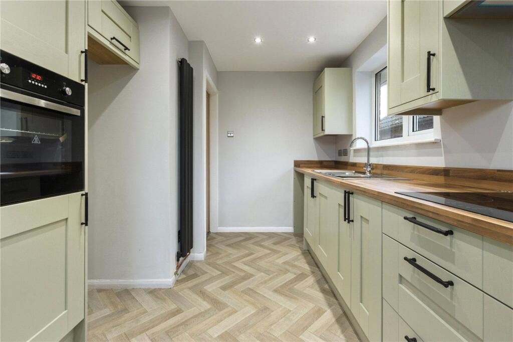
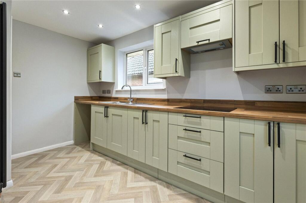
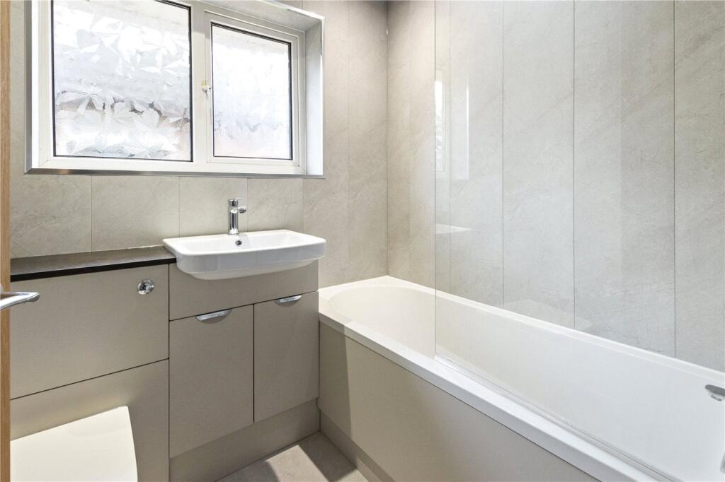
The fully modernised and stylish kitchen is an excellent utilisation of the space with a range of units and ample work surface as well as integrated appliances such as oven and hob. The three piece family bathroom is a sleek and pragmatic space with an aqua panelled walls.
Efficiency is well catered for thanks to the PVC double glazing throughout and modern gas combi supplying central heating.
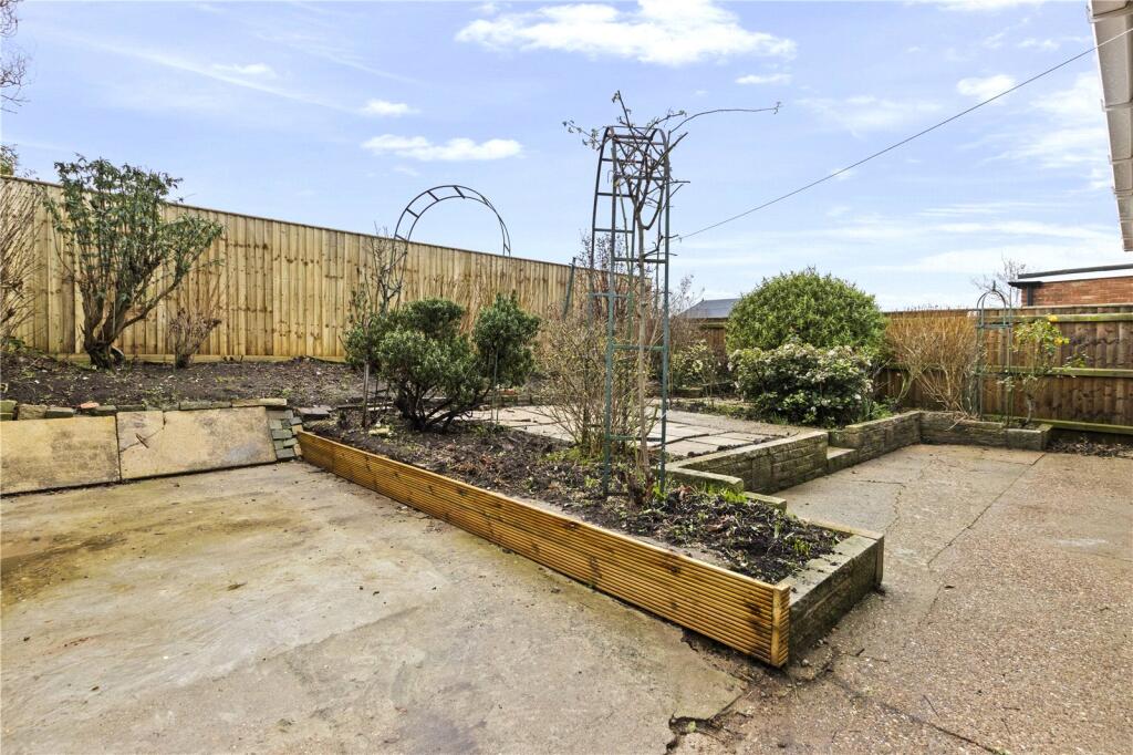
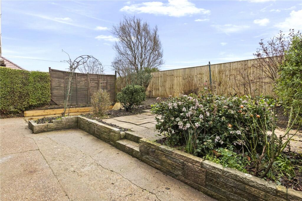
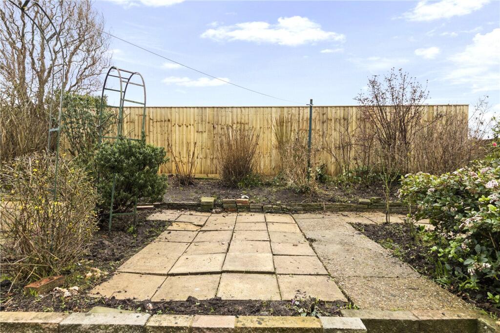
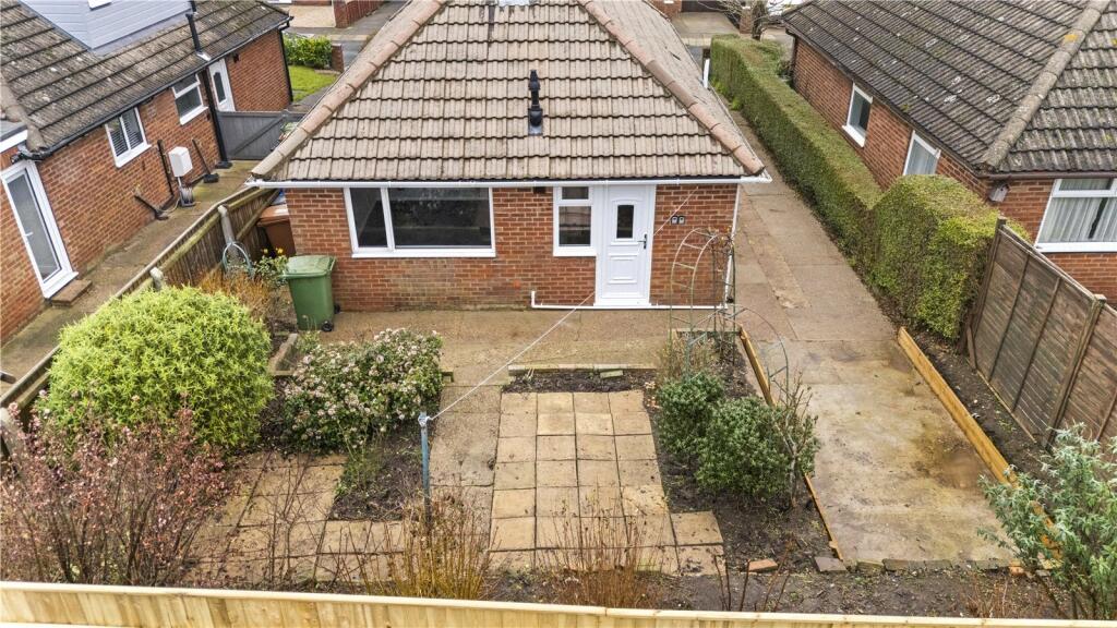
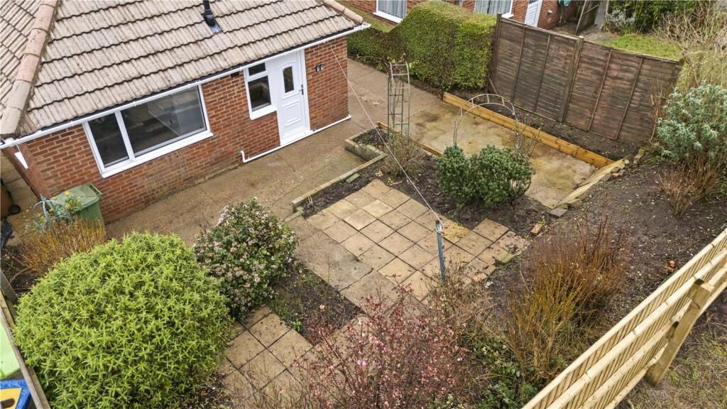
Front and rear gardens provide pleasant facility for outdoor space while an extensive drive offers off road parking for multiple vehicles.
A holding deposit of £100 (Per tenancy) is required to reserve the property. On successful completion of referencing and the tenancy being agreed the £100 holding deposit will be deducted from the first month rent leaving the balance payable of £825 and the deposit of £1065 (5 Weeks rent). Council tax band B (This information was taken on the 22nd September 2026 and is for guidance purposes only). All interested parties are advised to make their own enquiries into this matter.
Listed by
Covering Grimsby
Relocation Estates Ltd
Reference: 93451155
EPC ratings on this postcode
We don't have a matched EPC for this property yet. Below are efficiency scores and details for other addresses on this postcode.
| Address | Current | Potential | Floor area | Age band | Type |
|---|---|---|---|---|---|
| 27, Emfield Road, GRIMSBY | 62 | 80 | 88 m² | — | Detached |
| 29 EMFIELD ROAD, GRIMSBY, GRIMSBY | 51 | 74 | 81 m² | England and Wales: 1950-1966 | Detached |
| 29, Emfield Road, GRIMSBY | 56 | 64 | — | England and Wales: 1950-1966 | 1 |
| 33, Emfield Road, GRIMSBY | 66 | 85 | 78 m² | England and Wales: 1930-1949 | Detached |
| 39, Emfield Road, GRIMSBY | 67 | 85 | 84 m² | England and Wales: 1950-1966 | Detached |
| 41 Emfield Road, GRIMSBY | 64 | 84 | 71 m² | England and Wales: 1950-1966 | Detached |
| 43, Emfield Road, GRIMSBY | 68 | 86 | 56 m² | England and Wales: 1950-1966 | Detached |
| 43, Emfield Road, GRIMSBY | 40 | 76 | 65 m² | England and Wales: 1967-1975 | Detached |
| 45 Emfield Road, GRIMSBY | 55 | 87 | 63 m² | England and Wales: 1976-1982 | Detached |
| 45, Emfield Road, GRIMSBY | 61 | 83 | 61 m² | England and Wales: 1950-1966 | Detached |
| 49, Emfield Road, GRIMSBY | 64 | 84 | 63 m² | England and Wales: 1950-1966 | Detached |
| 51 Emfield Road, GRIMSBY | 58 | 81 | 63 m² | England and Wales: 1967-1975 | Detached |
| 53, Emfield Road, GRIMSBY | 59 | 86 | 60 m² | England and Wales: 1950-1966 | Detached |
| 55 Emfield Road, GRIMSBY | 65 | 87 | 53 m² | England and Wales: 1967-1975 | Detached |
| 57, Emfield Road, GRIMSBY | 64 | 85 | 76 m² | England and Wales: 1967-1975 | Detached |
Flood risk
Zone: 1
Risk: Low
Job (default Low)
Registered land (INSPIRE)
This location falls inside an HM Land Registry INSPIRE registered freehold polygon.
Plot: ~263 m² (0.06 acres)
Source: HM Land Registry INSPIRE Index Polygons.
Floorplans
Picture No. 29
EPC Graphs
EPC Rating Graph
Rental Range
Estimated market rent for North East Lincolnshire. Low = conservative, Realistic = average, Optimistic = best case.
Based on Local Authority from postcode lookup → North East Lincolnshire.
LHA (30th percentile) floor for Grimsby: £520/mo (Apr 2025 – Mar 2026)
Location
Nearby
Nearest stations, universities and amenities (distance from property).
| Type | Name | Distance |
|---|---|---|
| Bus stop | Kiddier Avenue | 0.1 miles |
| Shop | Lincolnshire Co-op | 0.2 miles |
| Shop | Londis | 0.4 miles |
| University | University Centre Grimsby | 1.9 miles |
| University | University Centre (University of Hull) | 2.0 miles |
| Hospital | Harrison House | 2.0 miles |
| Hospital | St Hughs | 2.1 miles |
| Train station | Grimsby Town | 2.6 miles |
| Train station | Grimsby Docks | 3.5 miles |
Street-level crime
| Category | Count |
|---|---|
| Violence and sexual offences | 28 |
| Criminal damage and arson | 6 |
| Anti-social behaviour | 5 |
| Public order | 4 |
| Shoplifting | 4 |
| Vehicle crime | 4 |
| Other theft | 3 |
| Burglary | 2 |
| Possession of weapons | 2 |
| Bicycle theft | 1 |
| Other crime | 1 |
| Total incidents | 60 |
Within 1 mile during Aug 2026. Source: data.police.uk (England & Wales).
Schools nearby
Nearest open schools with Ofsted ratings (England). Closed schools are not shown. Data from Get Information about Schools and Ofsted.
| Name | Type | Distance | Ofsted |
|---|---|---|---|
| Springfield Primary Academy | Primary | 0.3 miles | Good — 19 Sep 2018 |
| Fairfield Academy | Primary | 0.5 miles | Good — 17 Jan 2011 |
| Waltham Leas Primary Academy | Primary | 0.6 miles | Good — 7 Dec 2023 |
| Scartho Nursery School | Nursery | 0.8 miles | Good — 1 Jul 2024 |
| Waltham Toll Bar Academy | Secondary | 0.9 miles | Good — 18 Jan 2024 |
Rental Comparables
Residential lets from OpenRent and Rightmove for the area (same bedroom count). Use to validate rent estimates. Student lets are excluded.
| Title | Rent | Beds | Distance | As seen on |
|---|---|---|---|---|
| Emfield Road, Scartho, Grimsby, DN33 | £925/mo | 3 | 0 miles | Rightmove |
| Pillar Way, Scartho | £1,300/mo | 3 | 0.96 miles | Rightmove |
| Scartho Top, Grimsby, DN33 | £1,150/mo | 3 | 1.04 miles | Rightmove |
| Waterloo Drive, Scartho Top, Grimsby, Lincolnshire, DN33 | £1,150/mo | 3 | 1.07 miles | Rightmove |
| Mayflower Lane, Grimsby, North East Lincolnshire | £925/mo | — | 1.09 miles | Rightmove |
| Bluebell Gardens, Grimsby, North East Lincolnshire | £925/mo | 3 | 1.09 miles | Rightmove |
| Marylebone Walk, Scartho Top, DN33 | £900/mo | 3 | 1.16 miles | Rightmove |
| Regency Meadows, North East Lincolnshire, DN33 3RZ | £1,031/mo | 3 | 1.18 miles | Rightmove |
| Buckingham Grove, Scartho Top, Grimsby, DN33 | £825/mo | 3 | 1.19 miles | Rightmove |
| Langton Close, Grimsby | £750/mo | 3 | 1.39 miles | Rightmove |
| Scartho Road, Grimsby | £900/mo | 3 | 1.42 miles | Rightmove |
| St Helens Avenue, Scartho, Grimsby, N E Lincs, DN33 | £925/mo | 3 | 1.49 miles | Rightmove |
| Gervase Holles Way, Grimsby, North East Lincs, DN33 | £925/mo | 3 | 1.55 miles | Rightmove |
Average rent: £972/mo (13 listings)
Enter House Number
Enter the house number to help us retrieve more accurate pricing history and property data.
Please log in to submit or correct the house number for this listing.
Log in to continue