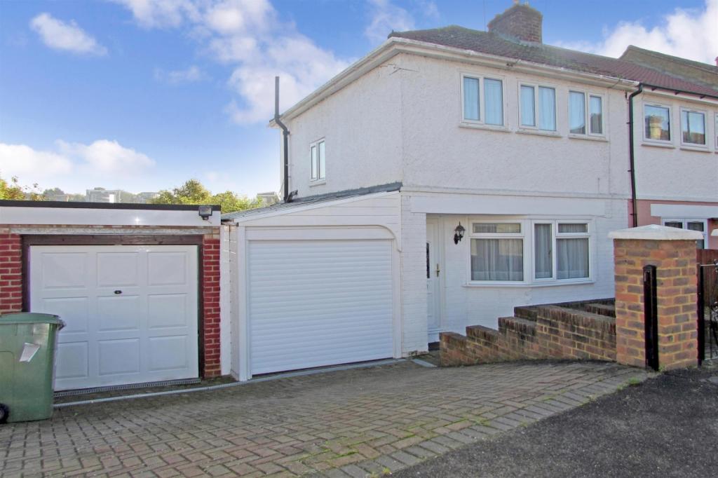
51 FLORENCE ROAD
MAIDSTONE, KENT ME16 8EL
£1,000 pcm
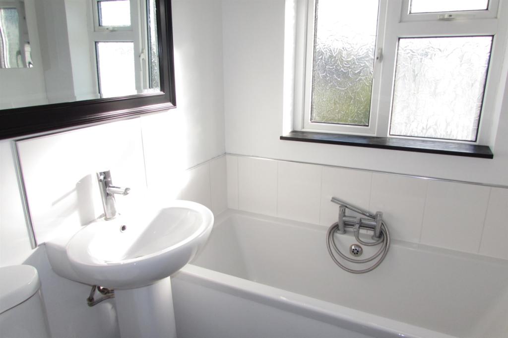
Property details
Floor area
73 m²
Deprivation
Decile 5 (14,518 of 33,755)
Street crime
548 incidents within 1 mile (Apr 2026)
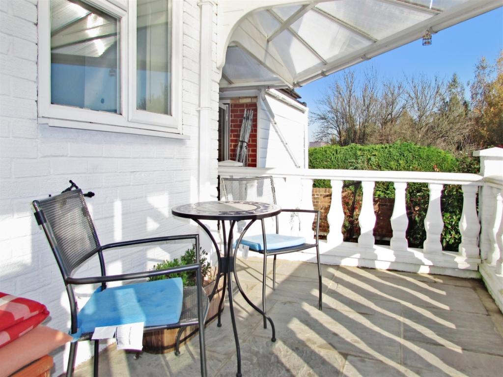
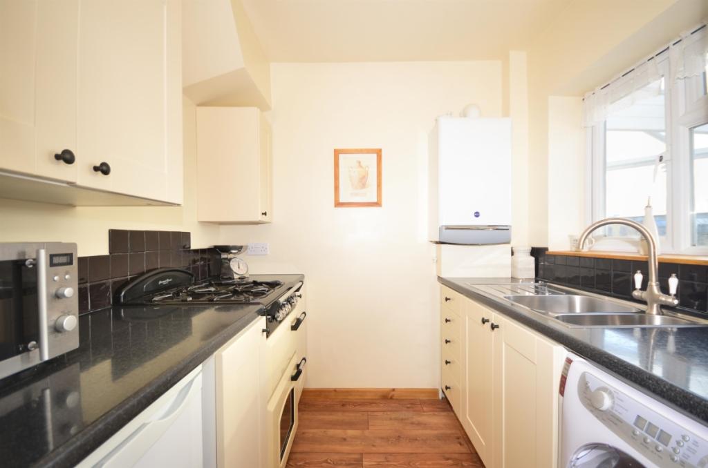
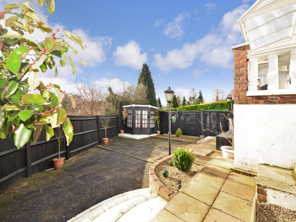
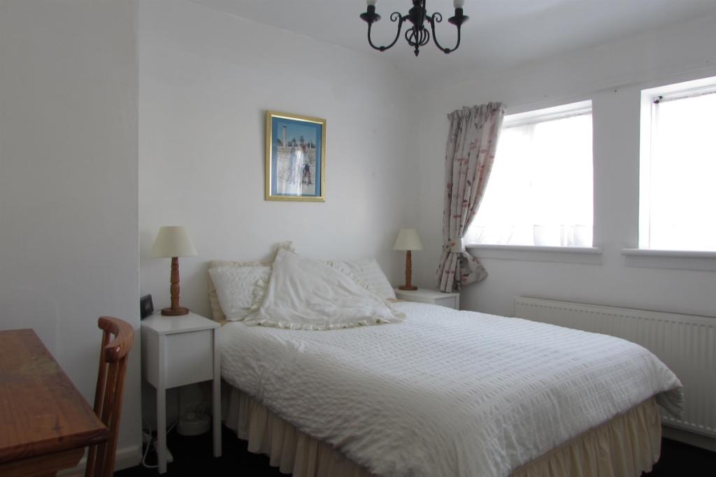
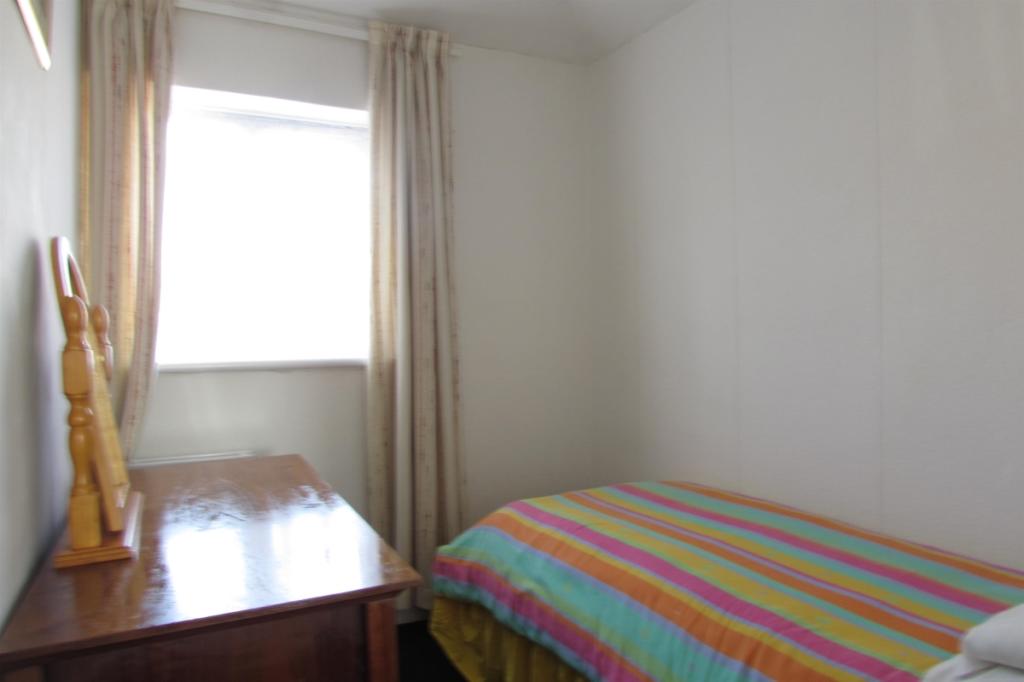
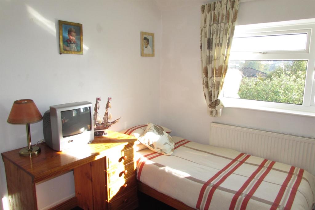
Key features
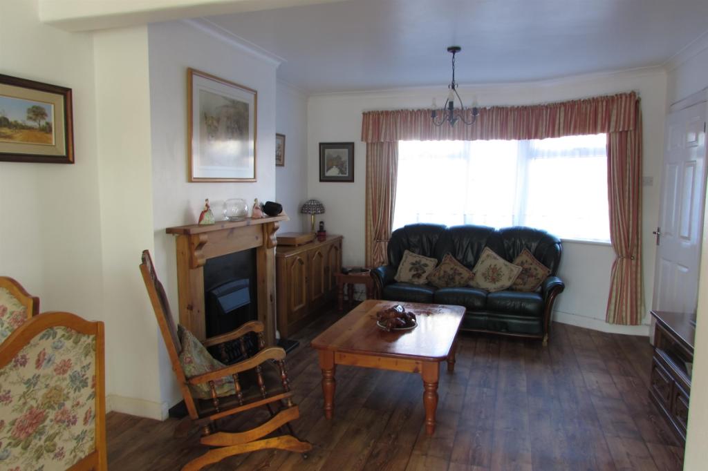
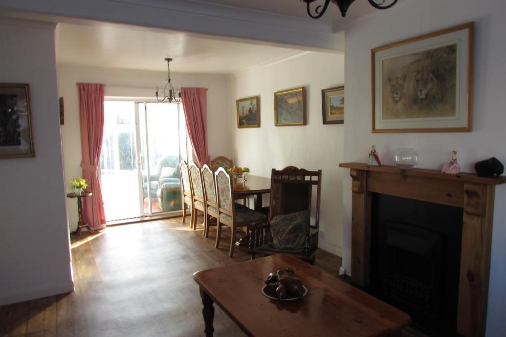
- 3 bedroom end of terrace house
- Open plan lounge/diner
- Balcony off conservatory
- Driveway
- Utility room
- Gas cooker
- 1 mile from town centre
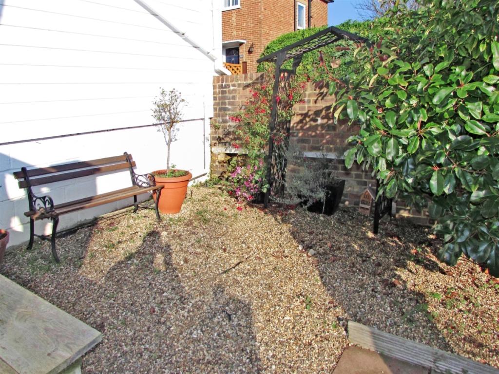
Additional details
- Parking
- Yes, Communal
- Garden
- Private garden
Description
Listed by
Maidstone
Arun Estates
Reference: 59650868
EPC Rating & Upgrade Cost
Fetching EPC data… Refresh this page in a moment.
Flood risk
Zone: 1
Risk: Low
Job (default Low)
EPC Graphs

Energy Performanc...
FENSA Certificates
This property has 1 FENSA certificate(s) on record, indicating window/door installations by FENSA-approved installers.
FENSA Certificate #2597964
Property Details
Street: 51 Florence Road
Town: MAIDSTONE
Postcode: ME16 8EL
Installation Details
Items: 6 windows
Certificate Issued: 11/04/2005
Work Completed: 28/02/2005
This certificate data was retrieved from FENSA's database
What is FENSA? FENSA (Fenestration Self-Assessment Scheme) is a government-authorised scheme that monitors building regulation compliance for replacement windows and doors. Certificates indicate that work was completed by FENSA-approved installers.
Rental Range
Estimated market rent for Maidstone. Low = conservative, Realistic = average, Optimistic = best case.
Based on Local Authority from postcode lookup → Maidstone.
LHA (30th percentile) floor for Maidstone: £1,197/mo (Apr 2025 – Mar 2026)
Location
Nearby
Nearest stations, universities and amenities (distance from property).
| Type | Name | Distance |
|---|---|---|
| Bus stop | Charles Street | 0.1 miles |
| Shop | Eurocell | 0.1 miles |
| Shop | Carpet Giant | 0.1 miles |
| Train station | Maidstone West | 0.2 miles |
| Train station | Maidstone Barracks | 0.6 miles |
| Hospital | The Somerfield Hospital | 0.6 miles |
| University | University for the Creative Arts, Maidstone TV Studios | 0.7 miles |
| University | UCA Maidstone Studios | 1.8 miles |
Street-level crime
| Category | Count |
|---|---|
| Violence and sexual offences | 169 |
| Anti-social behaviour | 122 |
| Shoplifting | 70 |
| Criminal damage and arson | 43 |
| Public order | 34 |
| Drugs | 29 |
| Other theft | 27 |
| Other crime | 11 |
| Vehicle crime | 11 |
| Burglary | 8 |
| Robbery | 8 |
| Bicycle theft | 6 |
| Possession of weapons | 6 |
| Theft from the person | 4 |
| Total incidents | 548 |
Within 1 mile during Apr 2026. Source: data.police.uk (England & Wales).
Schools nearby
Nearest open schools with Ofsted ratings (England). Closed schools are not shown. Data from Get Information about Schools and Ofsted.
| Name | Type | Distance | Ofsted |
|---|---|---|---|
| Maidstone, St Michael's Church of England Junior School | Primary | 0.1 miles | Good — 2 May 2018 |
| St Michael's Church of England Infant School Maidstone | Primary | 0.1 miles | Outstanding — 25 Feb 2014 |
| Archbishop Courtenay Primary School | Primary | 0.2 miles | Good — 30 Jul 2023 |
| Maidstone and Malling Alternative Provision | Other | 0.5 miles | Good — 8 Dec 2019 |
| MEPA ACADEMY | Other | 0.6 miles | Good — 16 Nov 2022 |
Rental Comparables
Rental listings exist nearby, but none matched the 3-bedroom count for this property.