Edgbaston Drive
Trentham, Stoke-On-Trent, ST4, ST4 8FJ
£1,250 pcm
Property details
Council tax band
C
Street crime
138 incidents within 1 mile (Aug 2026)
Key features
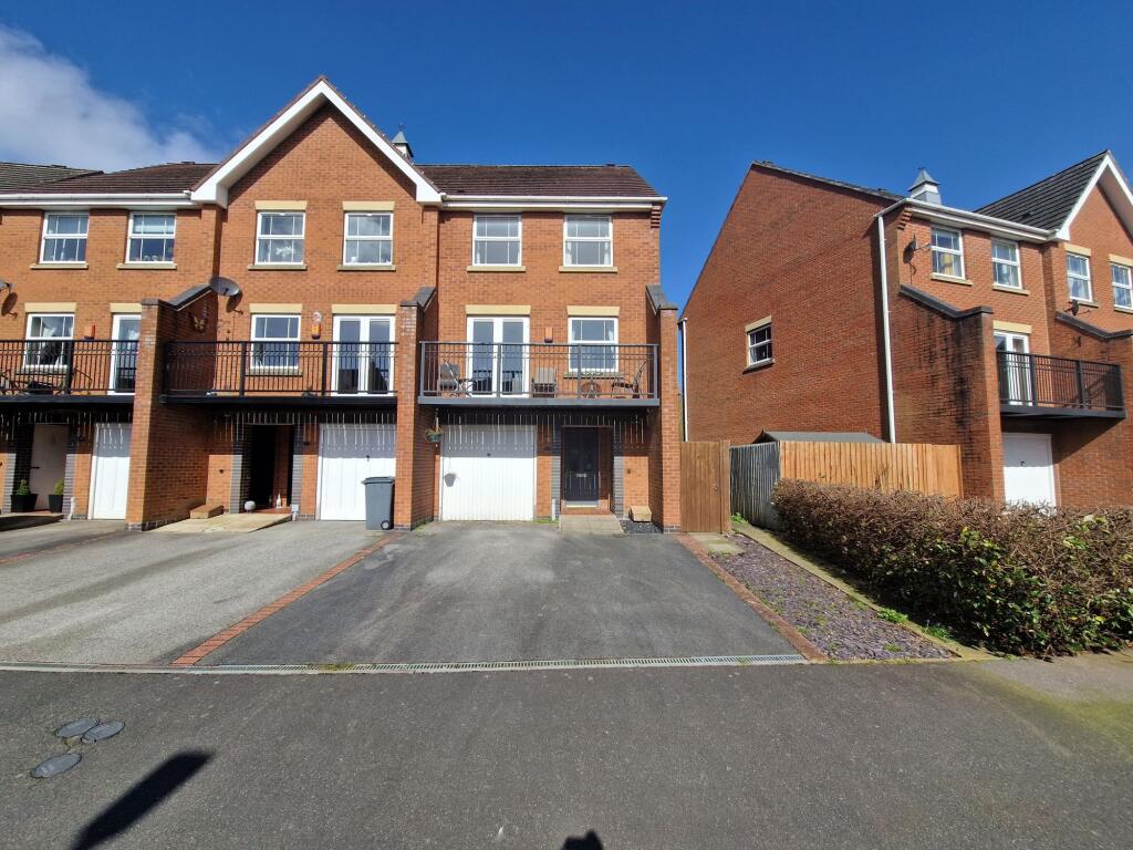
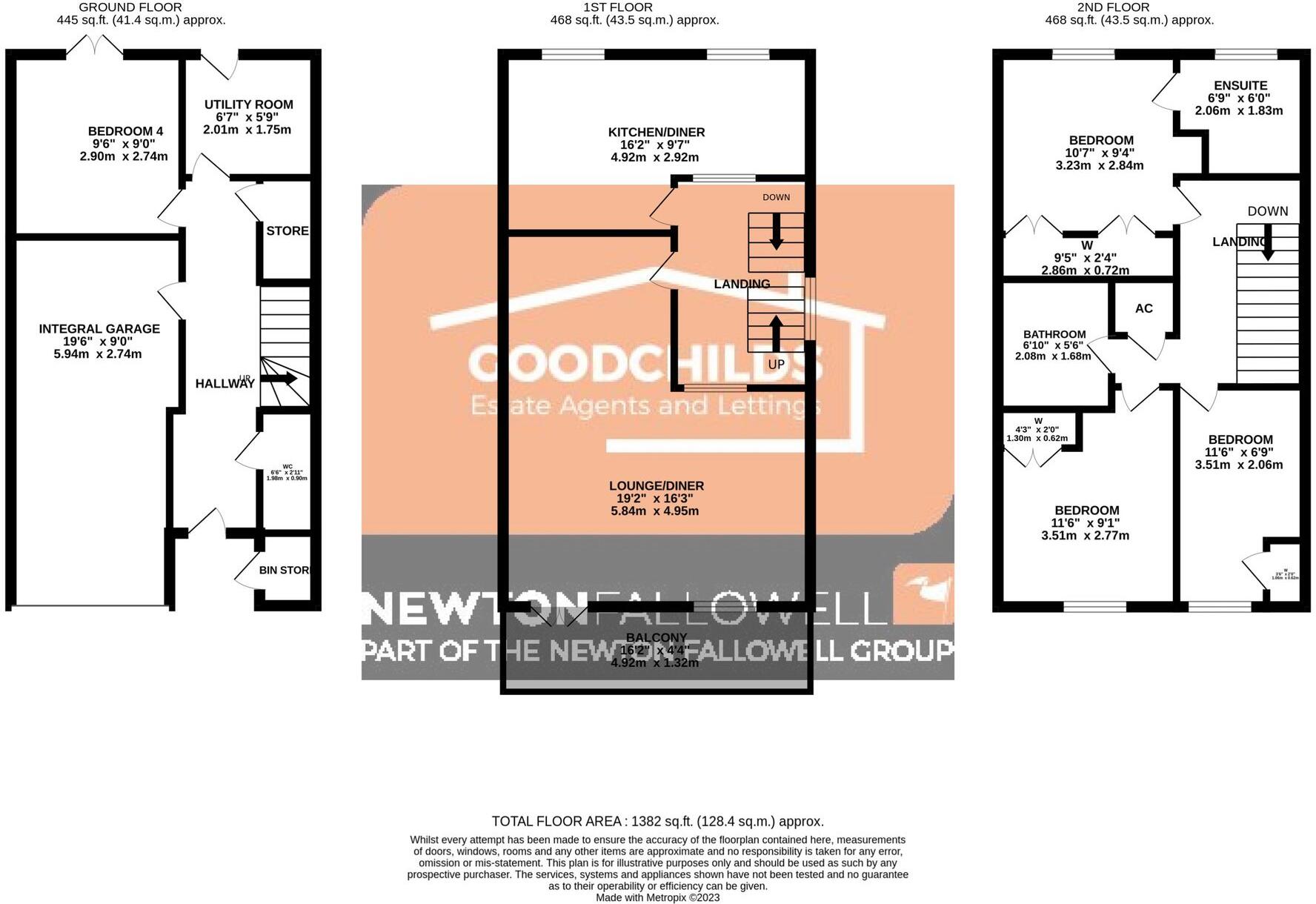
- Versatile four bedroom house
- Integral 18 foot garage
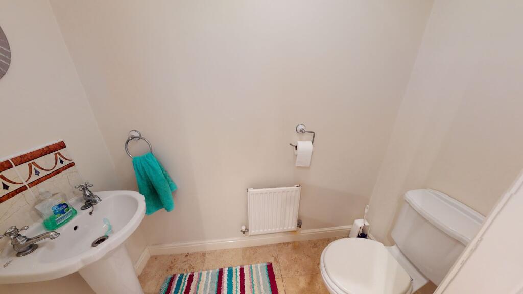
- Ground floor W.C
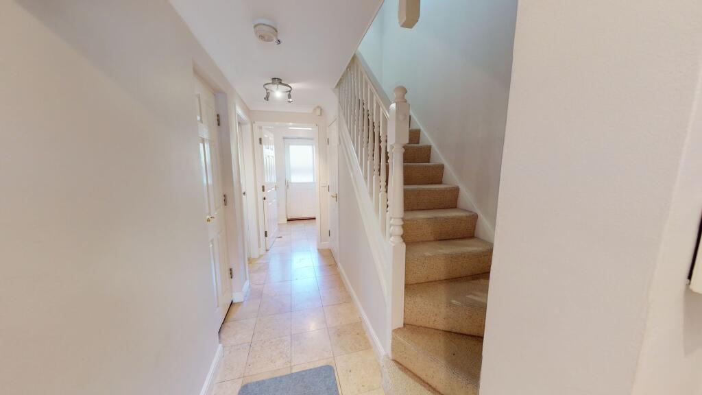
- Entrance hallway
- Ensuite off master
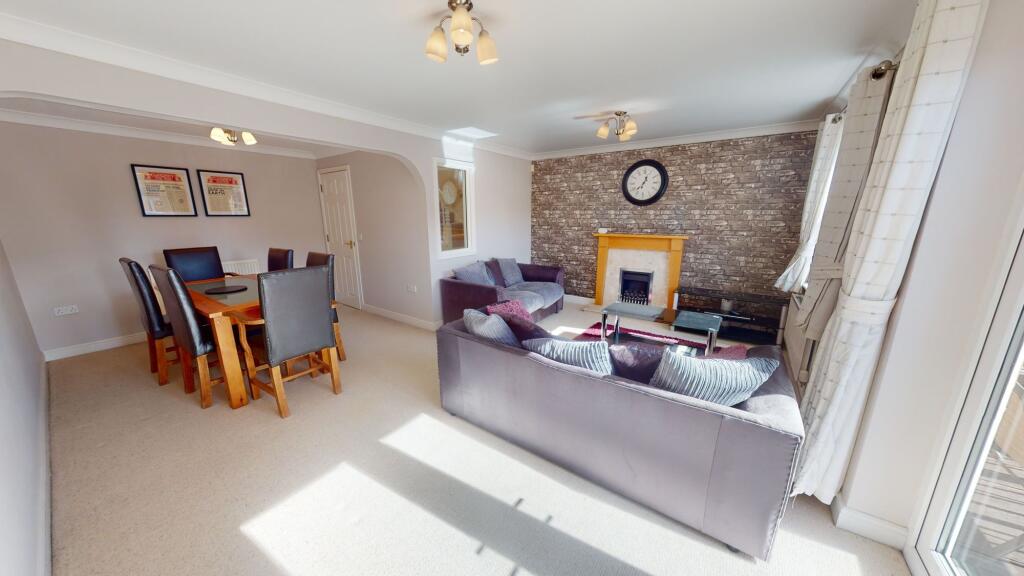
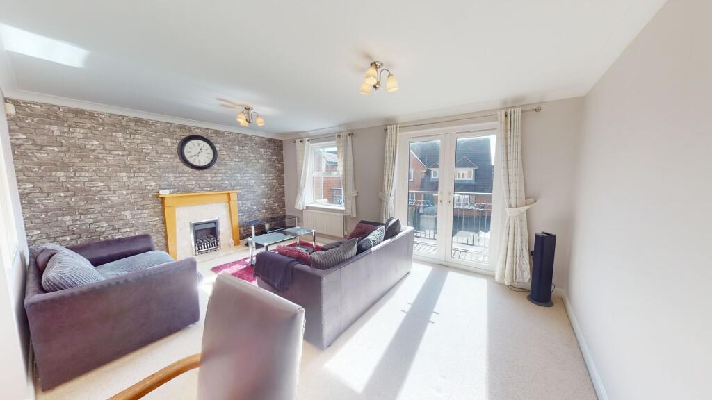
- Spacious lounge
- Second floor bathroom
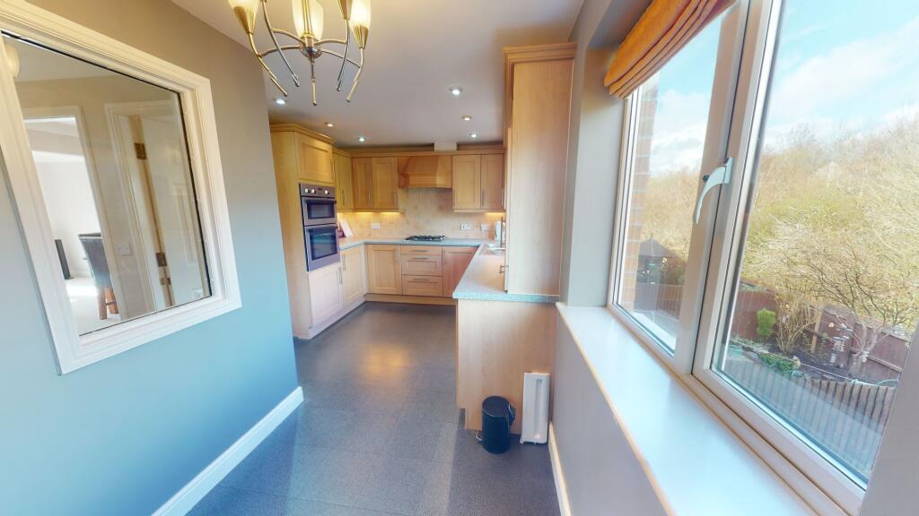
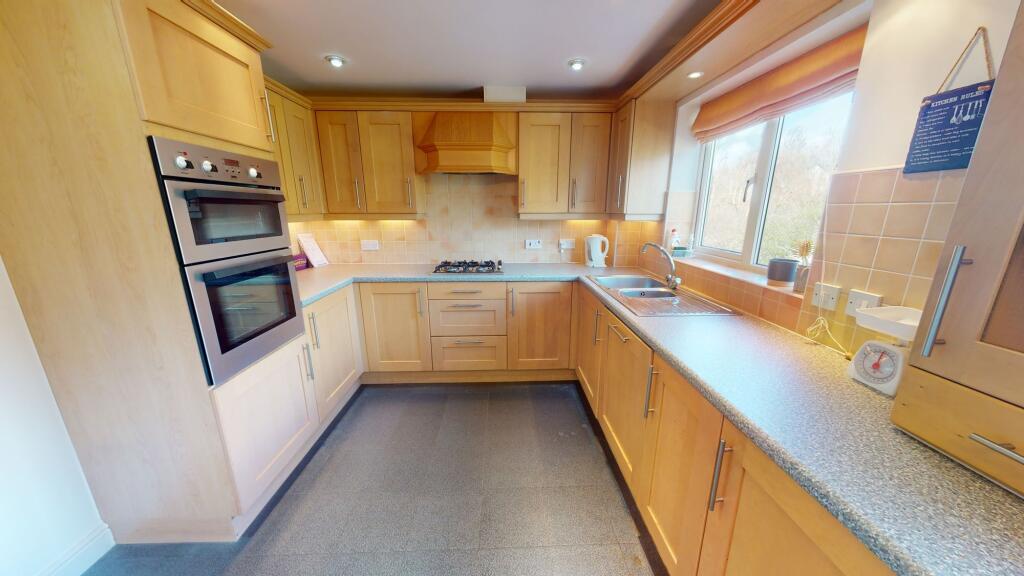
- Kitchen/breakfast room
- Low maintenance rear garden
- Popular location
Additional details
- Parking
- Yes
- Garden
- Yes
- Listed property
- No
- Restrictions
- No
- Required access
- No
- Rights of way
- No
- Flooded in last 5 years
- No
- Flood defences
- No
Description
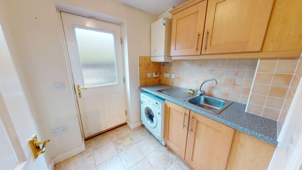
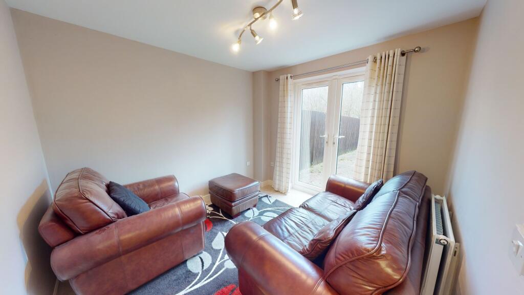
As you walk in you will be welcomed by the hallway which has the downstairs WC off. As you walk through you have a door into the integral garage. Finishing off the ground floor is the handy utility room and fourth bedroom which has French doors out onto the garden.
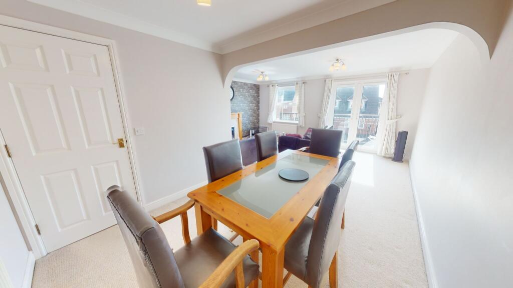
Heading upstairs the first thing you will notice is the amount of light with the landing having windows into both the kitchen and the lounge. To the rear of the property is the breakfast kitchen which overlooks the woodlands to the back. At the front is the huge lounge diner which has French doors out onto the balcony.
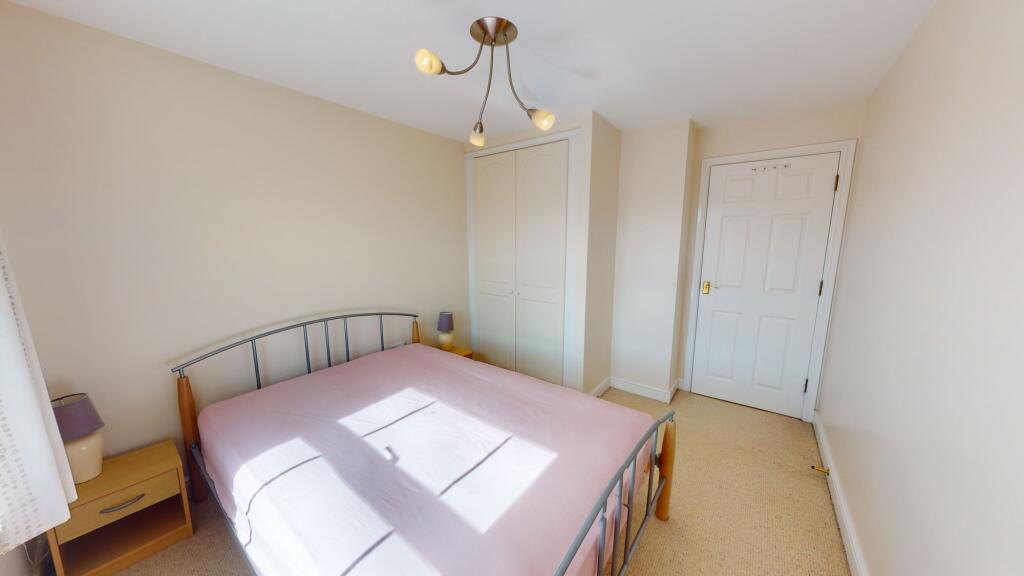
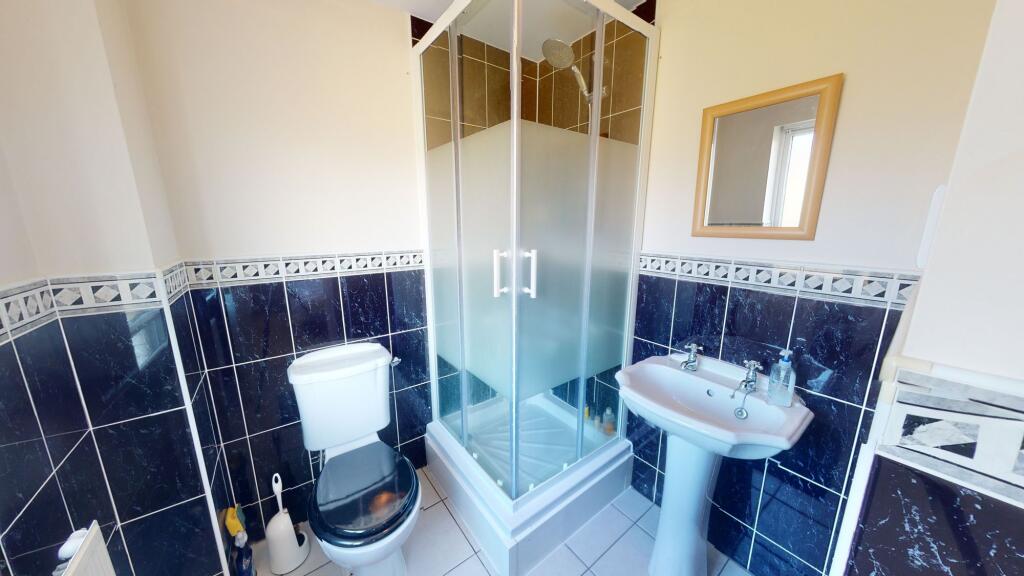
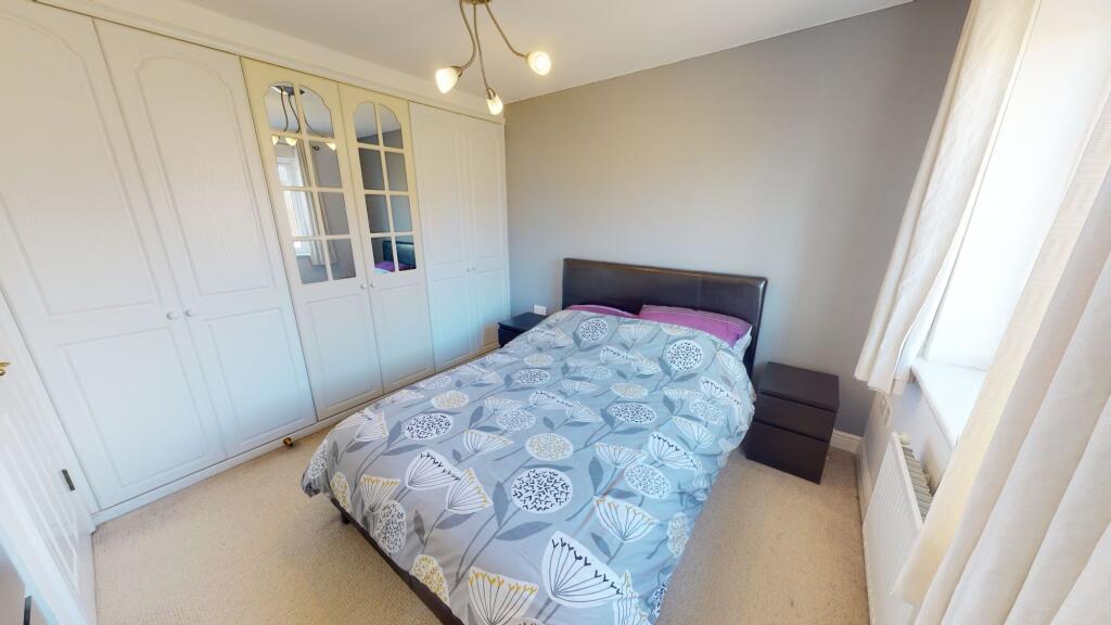
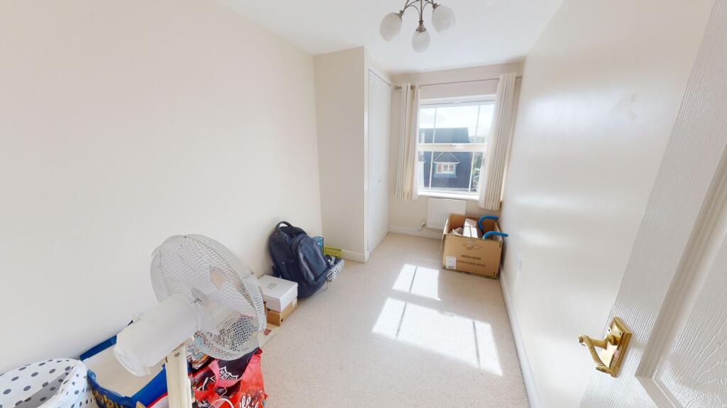
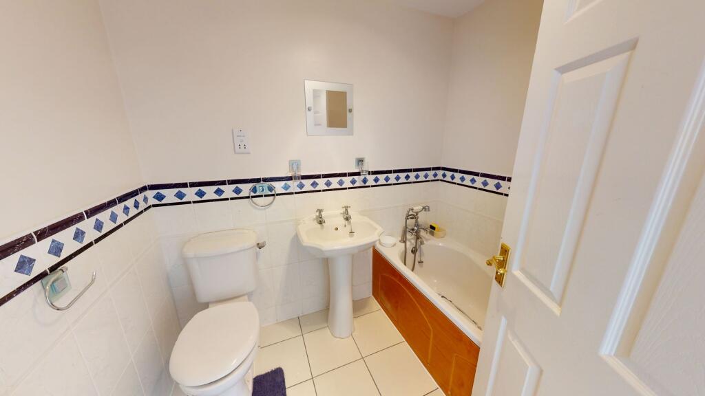
On the second floor you will find three spacious bedrooms, an en-suite & family bathroom.
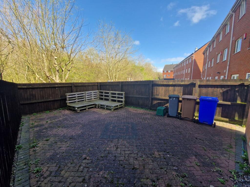
To the front of the property you will be pleased to find two parking spaces and access to the garage. To the rear there is a private, low maintenance garden.
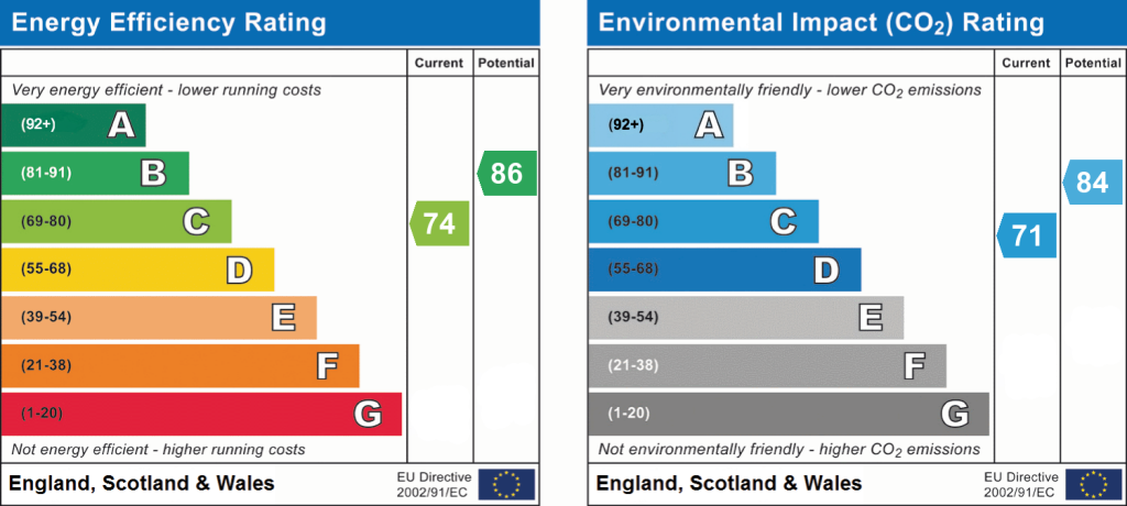
EPC Rating: C
Listed by
Stoke-On-Trent
The Property Franchise Group
Reference: 95115681
EPC ratings on this postcode
We don't have a matched EPC for this property yet. Below are efficiency scores and details for other addresses on this postcode.
| Address | Current | Potential | Floor area | Age band | Type |
|---|---|---|---|---|---|
| 15, Edgbaston Drive, STOKE-ON-TRENT | 71 | 86 | 118 m² | England and Wales: 2003-2006 | Terraced |
| 16 EDGBASTON DRIVE, TRENTHAM, STOKE-ON-TRENT, STOKE-ON-TRENT | 73 | 84 | 139 m² | England and Wales: 2003-2006 | Detached |
| 17, Edgbaston Drive, STOKE-ON-TRENT | 73 | 86 | 118 m² | England and Wales: 2003-2006 | Terraced |
| 2, Edgbaston Drive, STOKE-ON-TRENT | 84 | 88 | 130 m² | England and Wales: 2007-2011 | Detached |
| 20 Edgbaston Drive, STOKE-ON-TRENT | 73 | 79 | 197 m² | England and Wales: 1996-2002 | Detached |
| 22 EDGBASTON DRIVE, STOKE-ON-TRENT | 74 | 83 | 194 m² | England and Wales: 2003-2006 | Detached |
| 23 Edgbaston Drive, STOKE-ON-TRENT | 74 | 86 | 114 m² | England and Wales: 2003-2006 | Terraced |
| 3 Edgbaston Drive, STOKE-ON-TRENT | 73 | 86 | 110 m² | England and Wales: 2003-2006 | Terraced |
| 31, Edgbaston Drive, STOKE-ON-TRENT | 72 | 85 | 112 m² | England and Wales: 2003-2006 | Terraced |
| 32, Edgbaston Drive, STOKE-ON-TRENT | 66 | 80 | 159 m² | England and Wales: 1996-2002 | Detached |
| 33 EDGBASTON DRIVE, TRENTHAM, STOKE-ON-TRENT, STOKE-ON-TRENT | 72 | 85 | 105 m² | England and Wales: 2003-2006 | Terraced |
| 35, Edgbaston Drive, STOKE-ON-TRENT | 80 | 89 | 118 m² | England and Wales: 2003-2006 | Terraced |
| 37 Edgbaston Drive, STOKE-ON-TRENT | 76 | 88 | 110 m² | England and Wales: 2003-2006 | Terraced |
| 49, Edgbaston Drive, STOKE-ON-TRENT | 79 | 89 | 102 m² | England and Wales: 2007-2011 | Terraced |
| 57 Edgbaston Drive, STOKE-ON-TRENT | 74 | 88 | 86 m² | England and Wales: 2003-2006 | Terraced |
Flood risk
Zone: 1
Risk: Low
Job (default Low)
Registered land (INSPIRE)
This location falls inside an HM Land Registry INSPIRE registered freehold polygon.
Plot: ~136 m² (0.03 acres)
Source: HM Land Registry INSPIRE Index Polygons.
Floorplans
All
EPC Graphs
EPC 1
Rental Range
Estimated market rent for Stoke-on-Trent. Low = conservative, Realistic = average, Optimistic = best case.
Based on Local Authority from postcode lookup → Stoke-on-Trent.
LHA (30th percentile) floor for Staffordshire North: £798/mo (Apr 2025 – Mar 2026)
Location
Address
Edgbaston Drive
Nearby
Nearest stations, universities and amenities (distance from property).
| Type | Name | Distance |
|---|---|---|
| Bus stop | Unknown | 0.2 miles |
| Shop | The Hair Salon | 0.5 miles |
| Shop | Bargain Booze | 0.6 miles |
| Train station | Trentham Leisure | 1.4 miles |
| Train station | Unknown | 1.5 miles |
| Hospital | Haywood Hospital Walk-in Centre | 5.9 miles |
| University | Buxton & Leek College | 11.2 miles |
| Hospital | John Munroe Hospital | 11.2 miles |
| University | Tovell Building, Buxton & Leek College | 11.3 miles |
Street-level crime
| Category | Count |
|---|---|
| Violence and sexual offences | 57 |
| Anti-social behaviour | 28 |
| Public order | 13 |
| Other theft | 11 |
| Burglary | 8 |
| Criminal damage and arson | 7 |
| Drugs | 4 |
| Other crime | 4 |
| Vehicle crime | 4 |
| Shoplifting | 2 |
| Total incidents | 138 |
Within 1 mile during Aug 2026. Source: data.police.uk (England & Wales).
Schools nearby
Nearest open schools with Ofsted ratings (England). Closed schools are not shown. Data from Get Information about Schools and Ofsted.
| Name | Type | Distance | Ofsted |
|---|---|---|---|
| Strathmore College | Other | 0.3 miles | — (No rating) |
| Ormiston Sir Stanley Matthews Academy | Secondary | 0.4 miles | Good — 10 Nov 2017 |
| Kemball School | Other | 0.4 miles | Good — 12 Dec 2012 |
| Ash Green Primary Academy | Primary | 0.5 miles | Good — 3 Jun 2015 |
| Sutherland Primary Academy | Primary | 0.8 miles | Good — 13 Jun 2017 |
Rental Comparables
Residential lets from OpenRent and Rightmove for the area (same bedroom count). Use to validate rent estimates. Student lets are excluded.
Average rent: £1,439/mo (14 listings)
Enter House Number
Enter the house number to help us retrieve more accurate pricing history and property data.
Please log in to submit or correct the house number for this listing.
Log in to continue