14 VICTORIA ROAD
NOTTINGHAM, SANDIACRE, DERBYSHIRE NG10 5JE
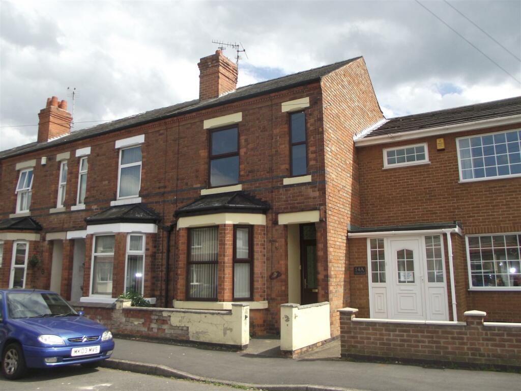
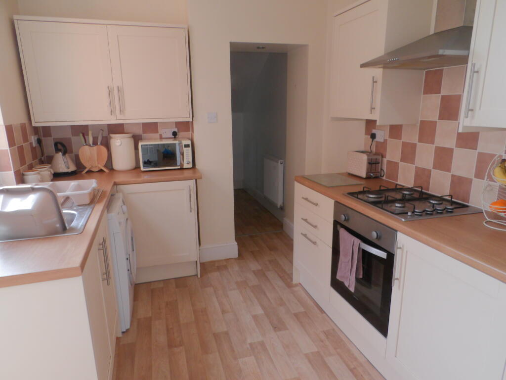
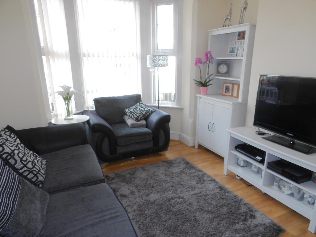
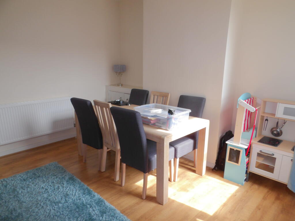
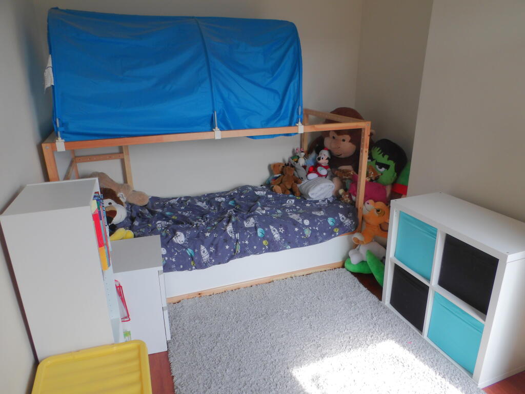
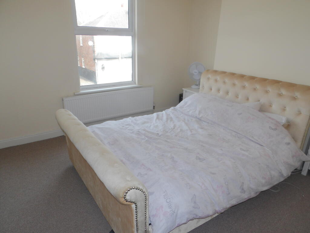
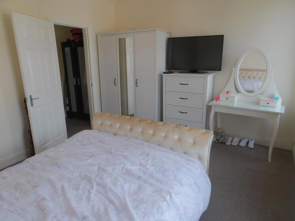
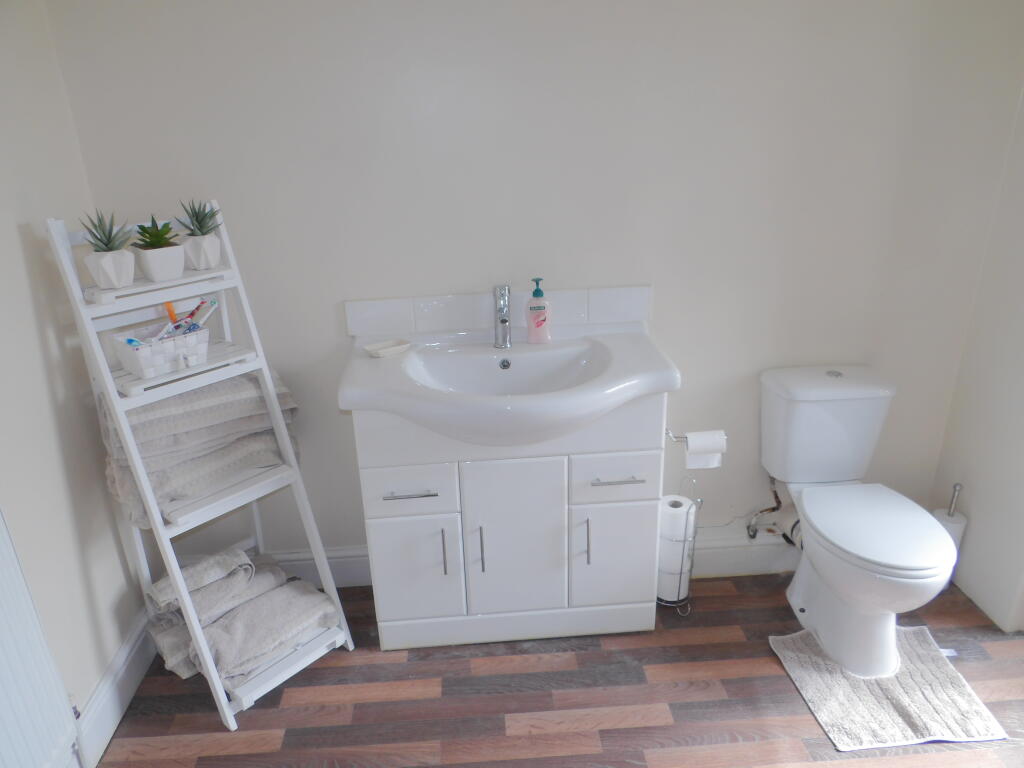
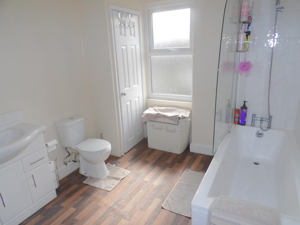
Photo 1 Photo 2 Photo 3 Photo 4 Photo 5 Photo 6 Photo 7 Photo 8 Photo 9
/ 9
Property details
Floor area
76 m²
Council tax band
A
Deprivation
Decile 4 (10,930 of 33,755)
Street crime
124 incidents within 1 mile (Apr 2026)
Key features
- Two Double Bedroom House
- Recently Refurbished
- Large Modern Kitchen
- Deceptively Spacious Throughout
- Close to Local Amenities
- Council Tax Band A
Additional details
- Garden
- Yes
Description
In brief the property includes:
Good size lounge with bay window and laminte flooring
Separate dining room with door leading to the kitchen
Modern and spacious kitchen with a fitted cooker, understairs pantry and access to an ample size room to the rear of the property for extra storage
Backdoor to the rear yard which is a good size
Two double bedrooms, the master bedroom being an excellent size.
Large bathroom with shower over bath, wash basin and WC
On street parking
Walking distance to local shops, schools and public transport.
Call now to view! Council Tax Band: A Holding Deposit: £183.00
Listed by
Nottingham
Countrywide UK Lettings - Connells
Reference: 142517783
EPC Rating & Upgrade Cost
Fetching EPC data… Refresh this page in a moment.
Flood risk
Zone: 1
Risk: Low
Job (default Low)
Rental Range
Estimated market rent for Erewash. Low = conservative, Realistic = average, Optimistic = best case.
Based on Local Authority from postcode lookup → Erewash.
LHA (30th percentile) floor for Nottingham: £648/mo (Apr 2025 – Mar 2026)
Location
Nearby
Nearest stations, universities and amenities (distance from property).
| Type | Name | Distance |
|---|---|---|
| Bus stop | White Lion | 0.1 miles |
| Bus stop | Smedleys Avenue | 0.1 miles |
| Shop | The Roshi | 0.5 miles |
| Shop | The Dog Barber | 0.6 miles |
| Train station | Long Eaton | 2.7 miles |
| Train station | Attenborough | 2.8 miles |
| University | Chaucer Study Space | 6.2 miles |
| Hospital | Cygnet Hospital Derby | 6.9 miles |
| Hospital | Florence Nightingale Community Hospital | 7.3 miles |
| University | Clinical Sciences | 7.4 miles |
Street-level crime
| Category | Count |
|---|---|
| Violence and sexual offences | 48 |
| Anti-social behaviour | 30 |
| Shoplifting | 11 |
| Criminal damage and arson | 10 |
| Public order | 7 |
| Other theft | 6 |
| Vehicle crime | 6 |
| Bicycle theft | 1 |
| Burglary | 1 |
| Drugs | 1 |
| Other crime | 1 |
| Robbery | 1 |
| Theft from the person | 1 |
| Total incidents | 124 |
Within 1 mile during Apr 2026. Source: data.police.uk (England & Wales).
Schools nearby
Nearest open schools with Ofsted ratings (England). Closed schools are not shown. Data from Get Information about Schools and Ofsted.
| Name | Type | Distance | Ofsted |
|---|---|---|---|
| Ladycross Infant School | Primary | 0.0 miles | — (Inspected (no overall grade)) |
| Cloudside Academy | Primary | 0.4 miles | Good — 13 Feb 2022 |
| Friesland School | Secondary | 0.5 miles | Good — 18 Jan 2024 |
| William Lilley Infant and Nursery School | Primary | 0.6 miles | Good — 13 Jun 2013 |
| Longmoor Primary School | Primary | 0.8 miles | Good — 8 Jul 2016 |
Rental Comparables
Rental listings exist nearby, but none matched the 2-bedroom count for this property.