53 ST MARYS HALL ROAD
MANCHESTER, MANCHESTER, GREATER MANCHESTER M8 4NN
£600 pcm
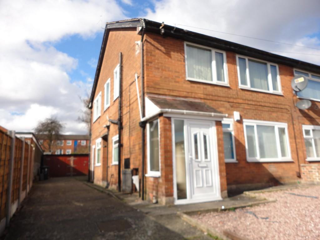
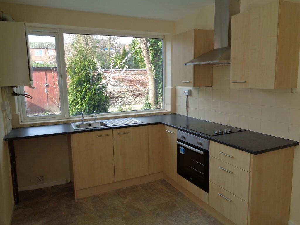
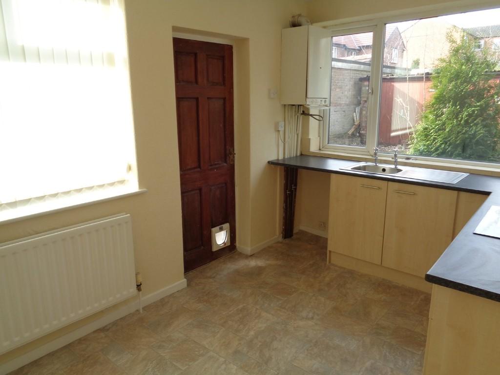
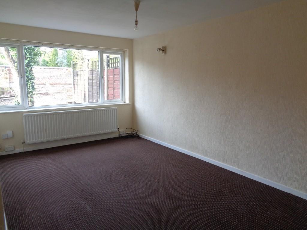
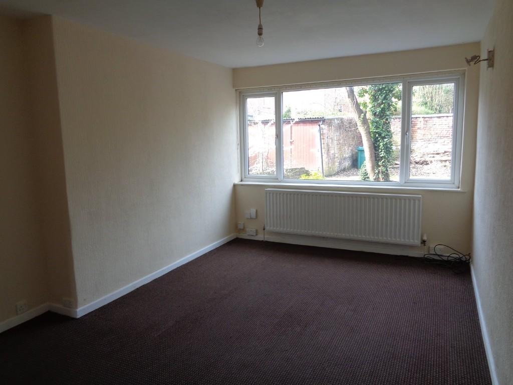
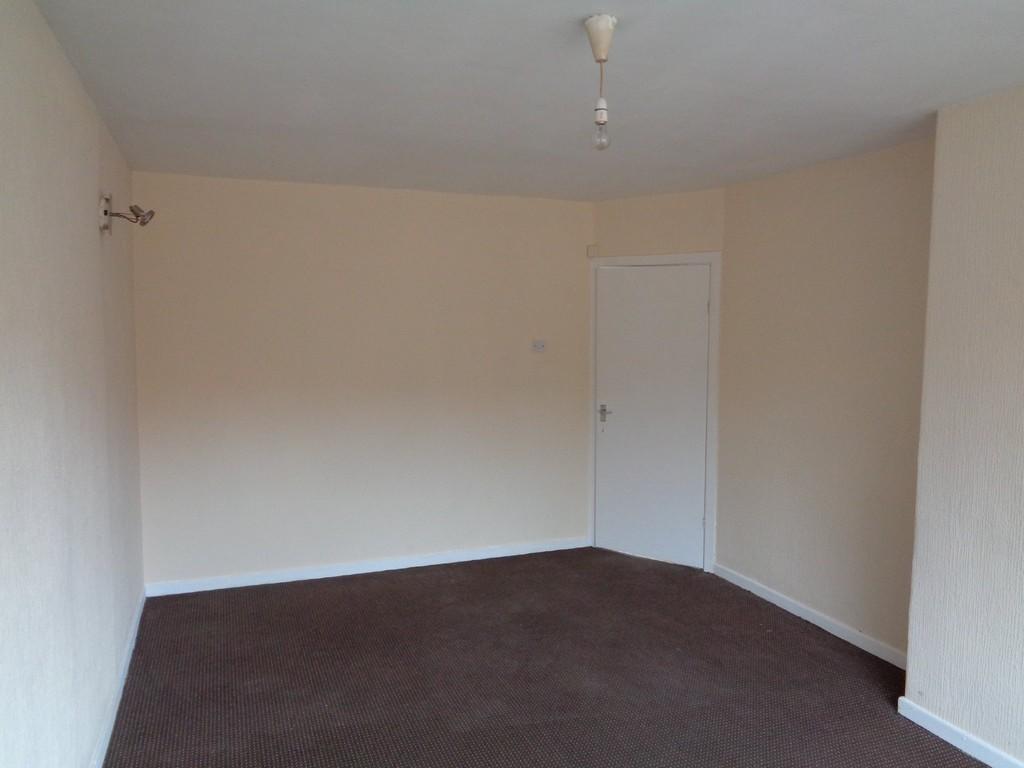
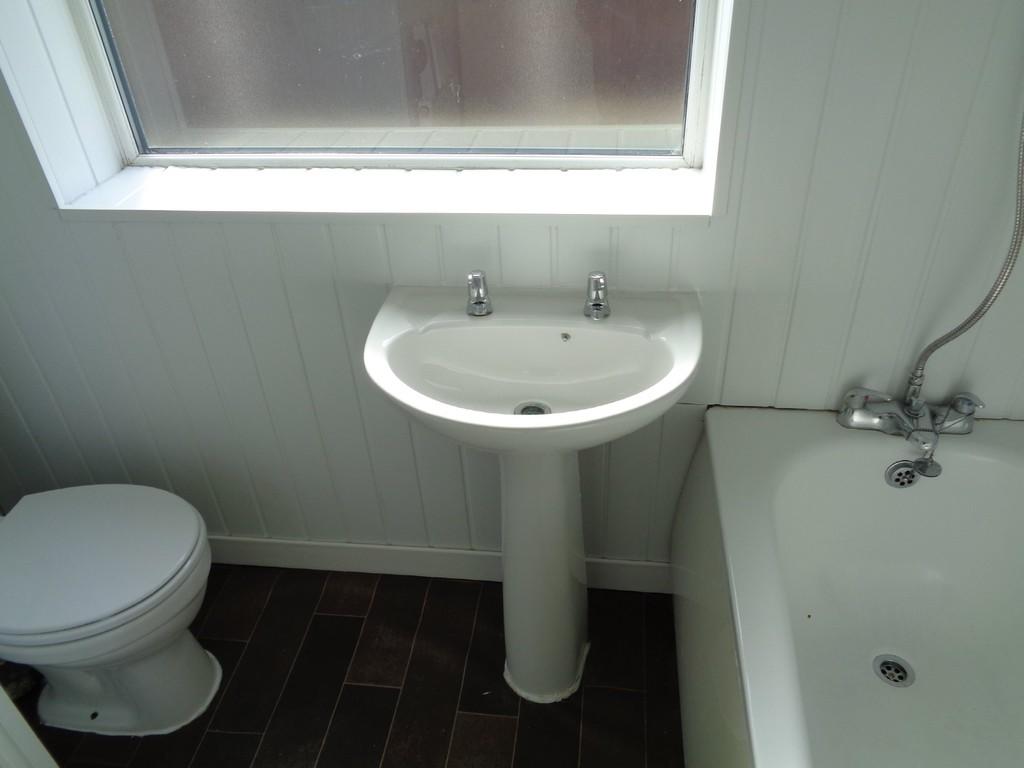
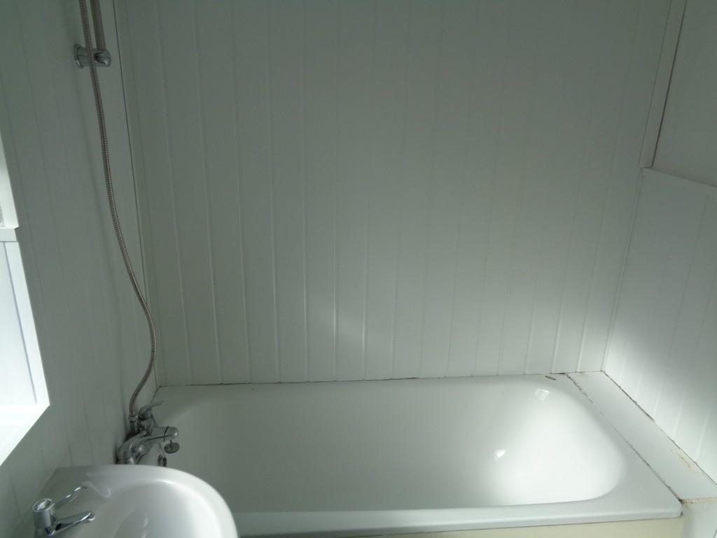
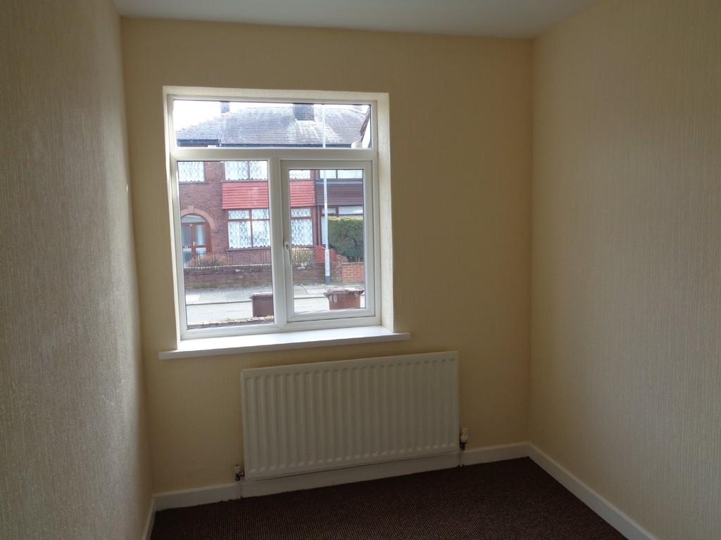
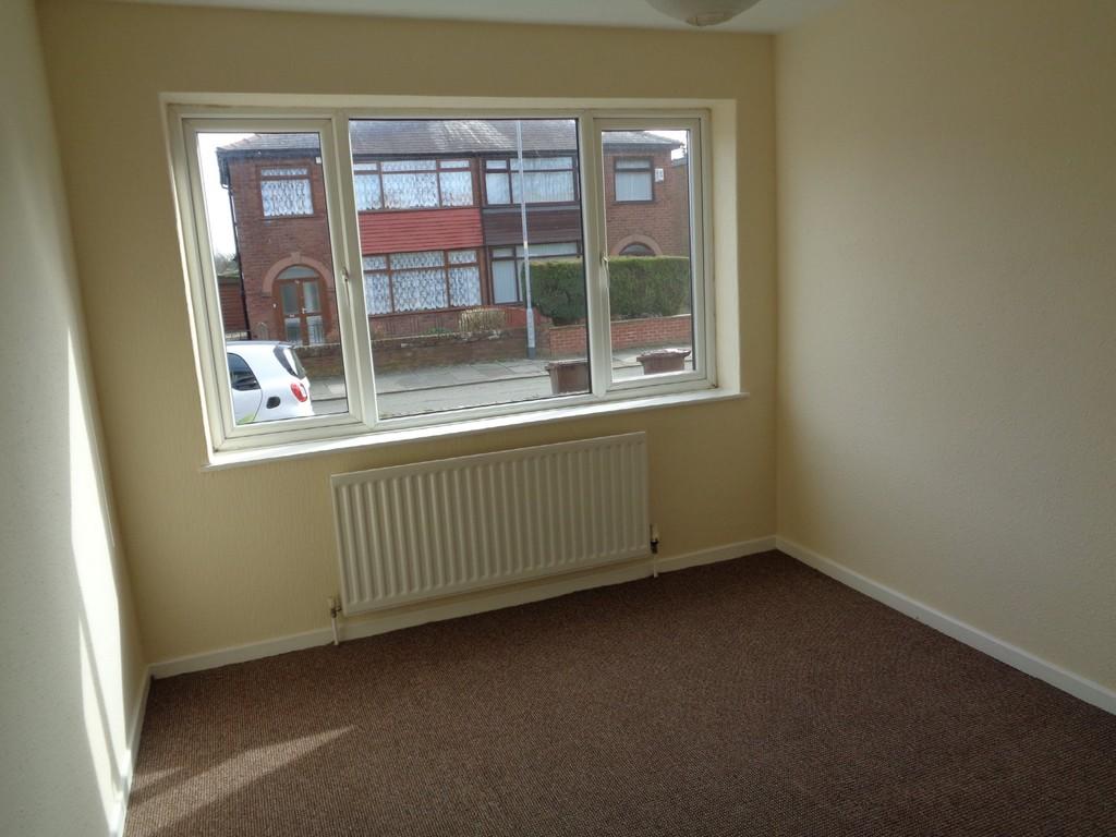
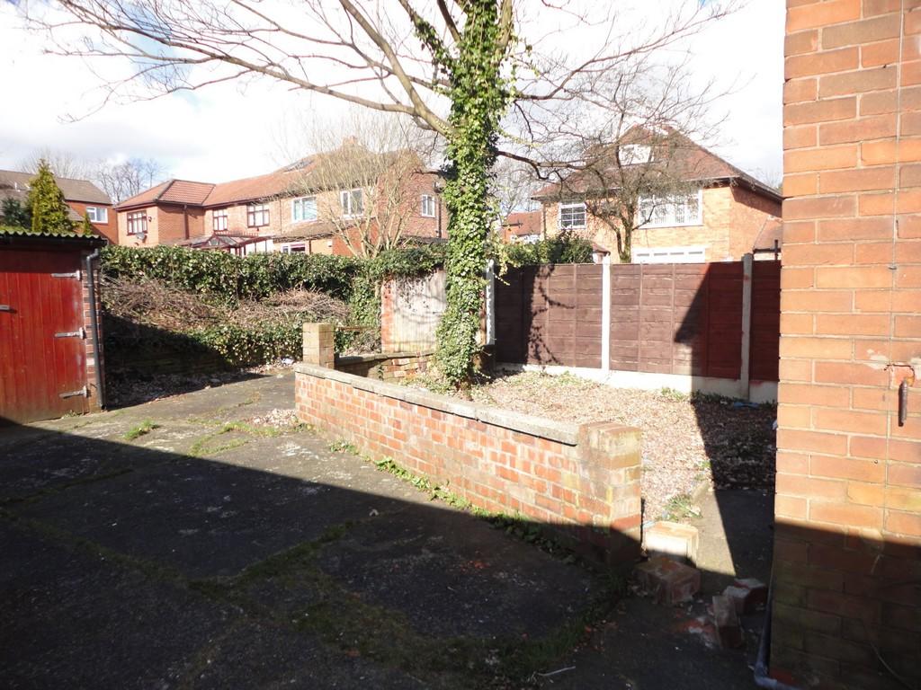
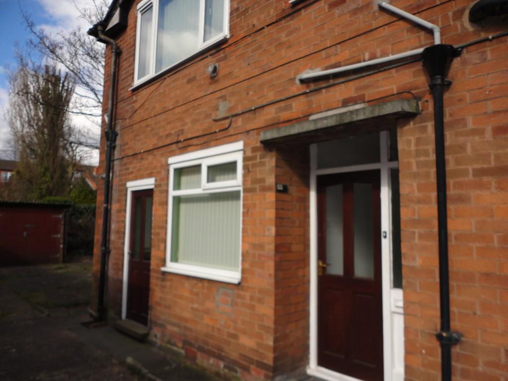
Photo 1 Photo 2 Photo 3 Photo 4 Photo 5 Photo 6 Photo 7 Photo 8 Photo 9 Photo 10 Photo 11 Photo 12 Photo 13
/ 13
Property details
Deprivation
Decile 1 (1,025 of 33,755)
Street crime
2 incidents within 1 mile (Apr 2026)
Key features
- CLOSE TO CHEETHAM HILL VILLAGE
- CLOSE TO PUBLIC TRANSPORT LINKS
- SHORT DISTANCE TO MOTORWAY LINKS
- UNFURNISHED APARTMENT
- GROUND FLOOR
- EAT IN KITCHEN
- SORRY NO PETS
Additional details
- Parking
- Yes, On street, Off street
Description
Double glazed windows, gas central heating, on road parking, small communal garden
Sorry no pets
Available for viewing now
Listed by
Prestwich
The Property Franchise Group
Reference: 67340728
EPC Rating & Upgrade Cost
Fetching EPC data… Refresh this page in a moment.
Flood risk
Zone: 1
Risk: Low
Job (default Low)
Rental Range
Estimated market rent for Manchester. Low = conservative, Realistic = average, Optimistic = best case.
Based on Local Authority from postcode lookup → Manchester.
LHA (30th percentile) floor for West Pennine: £449/mo (Apr 2025 – Mar 2026)
Location
Nearby
Nearest stations, universities and amenities (distance from property).
| Type | Name | Distance |
|---|---|---|
| Bus stop | Higher Crumpsall, Crumpsall Lane / near Middleton Road | 0.1 miles |
| Bus stop | Higher Crumpsall, Crumpsall Lane / adjacent Middleton Road | 0.1 miles |
| Shop | Warners | 0.1 miles |
| Shop | Golden Wines | 0.3 miles |
| University | UCEN Manchester (City Campus) | 2.0 miles |
| Train station | Manchester Victoria | 2.1 miles |
| Train station | Salford Central | 2.5 miles |
| University | University of Law | 2.6 miles |
| Hospital | Salford Gastric Bypass Surgery | 3.0 miles |
| Hospital | Shiv Lodge Medical Centre | 4.7 miles |
Street-level crime
| Category | Count |
|---|---|
| Violence and sexual offences | 2 |
| Total incidents | 2 |
Within 1 mile during Apr 2026. Source: data.police.uk (England & Wales).
Schools nearby
Nearest open schools with Ofsted ratings (England). Closed schools are not shown. Data from Get Information about Schools and Ofsted.
| Name | Type | Distance | Ofsted |
|---|---|---|---|
| The King David High School | Secondary | 0.2 miles | Requires improvement — 17 Jul 2023 |
| King David Primary School | Primary | 0.2 miles | Outstanding — 8 Apr 2016 |
| OYY Lubavitch Boys School | Other | 0.3 miles | Requires improvement — 14 Jul 2021 |
| Cravenwood Primary Academy | Primary | 0.3 miles | Good — 25 Apr 2017 |
| Tashbar of Manchester | Other | 0.3 miles | Requires improvement — 4 Jun 2024 |
Rental Comparables
Rental listings exist nearby, but none matched the 2-bedroom count for this property.