173 WESTON STREET
WALSALL, WALSALL, WEST MIDLANDS WS1 4EF
£550 pcm
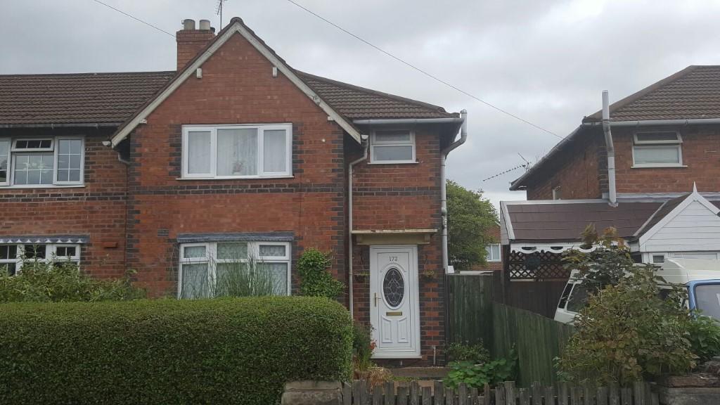
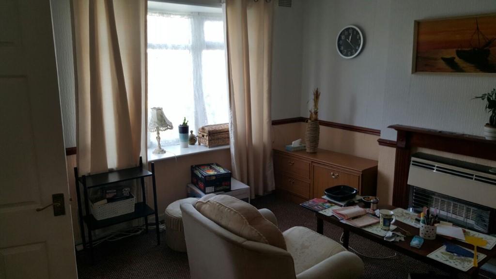
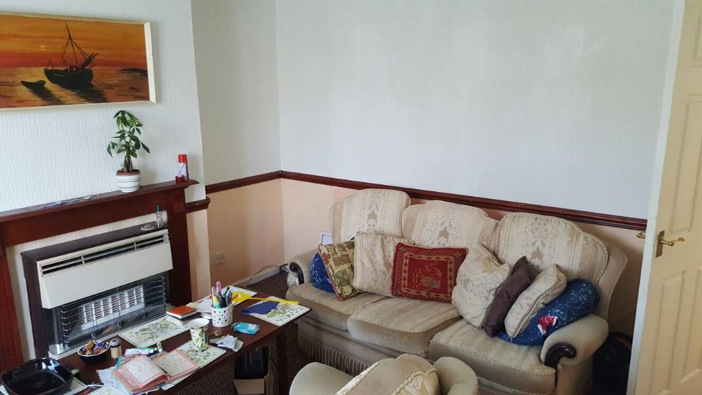
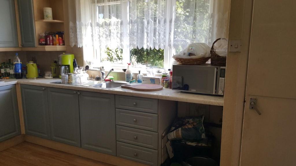
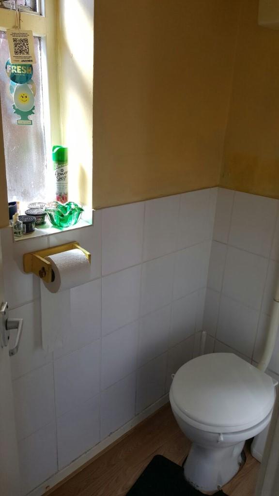
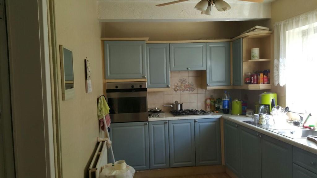
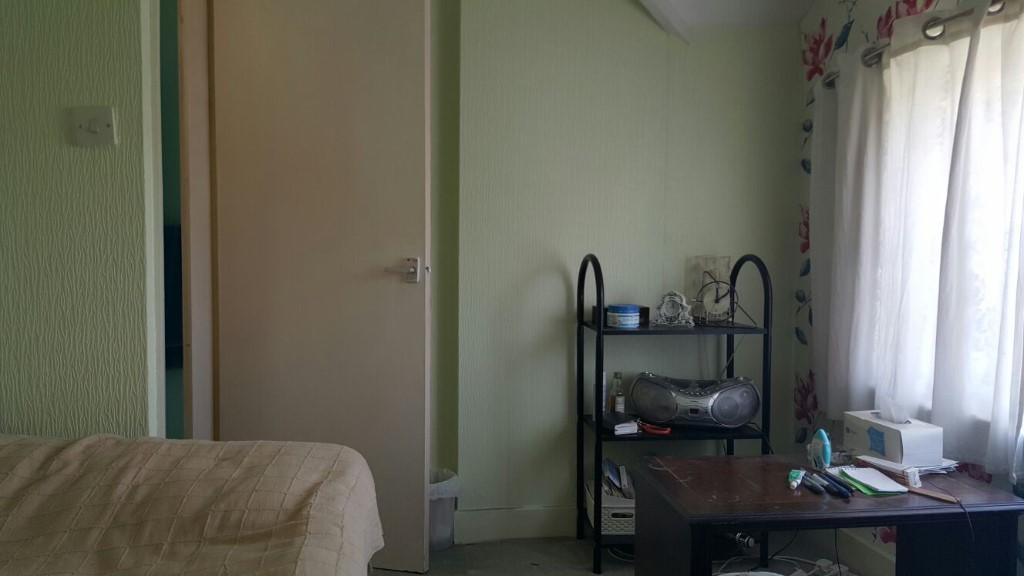
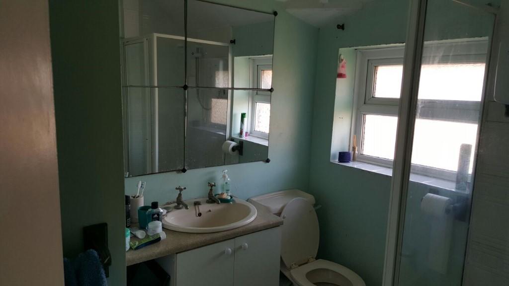
Photo 1 Photo 2 Photo 3 Photo 4 Photo 5 Photo 6 Photo 7 Photo 8 Photo 9 Photo 10
/ 10
Property details
Floor area
64 m²
EPC rating
E
Year built
England and Wales: 1930-1949
Deprivation
Decile 1 (2,255 of 33,755)
Street crime
372 incidents within 1 mile (Mar 2026)
Additional details
- Heating
- Gas, Double glazing, Central
- Parking
- Off street
- Garden
- Front garden, Back garden
Description
The property also benefits from double glazing, central heating and private front & rear garden.
SORRY NO PETS.
DSS ACCPETED
Viewing highly recommended.
Listed by
Walsall
K2 Properties
Reference: 61596764
EPC Rating & Upgrade Cost
Current rating: E
Potential rating: B
Inspection date: 14/11/2017
Current heating cost: £505/year
Potential heating cost: £410/year
Recommendations
- Floor insulation (suspended floor) (1,200)
- Increase hot water cylinder insulation (30)
- Hot water cylinder thermostat (400)
- Upgrade heating controls (450)
- Replace boiler with new condensing boiler (3,000)
- Solar water heating (6,000)
- Solar photovoltaic panels, 2.5 kWp (8,000)
Flood risk
Zone: 2
Risk: In flood risk area
Environment Agency Flood Risk Areas (APSFR)
Rental Range
Estimated market rent for Walsall. Low = conservative, Realistic = average, Optimistic = best case.
Based on Local Authority from postcode lookup → Walsall.
LHA (30th percentile) floor for Black Country: £748/mo (Apr 2025 – Mar 2026)
Location
Nearby
Nearest stations, universities and amenities (distance from property).
| Type | Name | Distance |
|---|---|---|
| Bus stop | Weston St / Broadway | 0.0 miles |
| Shop | Broadway Booze & Convenience | 0.1 miles |
| Shop | Unknown | 0.3 miles |
| Train station | Bescot Stadium | 0.6 miles |
| Train station | Walsall | 1.0 miles |
| University | Maryvale Institute | 4.0 miles |
| University | BCU Oscott Gardens | 5.1 miles |
| Hospital | Bilston Street Surgery | 6.2 miles |
| Hospital | krishna pemmaraju | 8.2 miles |
Street-level crime
| Category | Count |
|---|---|
| Violence and sexual offences | 158 |
| Shoplifting | 47 |
| Criminal damage and arson | 31 |
| Public order | 28 |
| Vehicle crime | 25 |
| Other theft | 15 |
| Drugs | 14 |
| Burglary | 13 |
| Anti-social behaviour | 11 |
| Possession of weapons | 9 |
| Other crime | 8 |
| Robbery | 8 |
| Theft from the person | 4 |
| Bicycle theft | 1 |
| Total incidents | 372 |
Within 1 mile during Mar 2026. Source: data.police.uk (England & Wales).
Schools nearby
Nearest open schools with Ofsted ratings (England). Closed schools are not shown. Data from Get Information about Schools and Ofsted.
| Name | Type | Distance | Ofsted |
|---|---|---|---|
| Whitehall Nursery and Infant School | Primary | 0.2 miles | Outstanding — 13 Jan 2015 |
| Fullbrook Nursery School | Nursery | 0.2 miles | Outstanding — 3 Jul 2024 |
| Abu Bakr Boys School | Other | 0.2 miles | Requires improvement — 17 Apr 2024 |
| Joseph Leckie Academy | Secondary | 0.3 miles | Good — 25 Nov 2021 |
| Whitehall Junior Community School | Primary | 0.3 miles | Good — 8 Dec 2022 |
Rental Comparables
Rental listings exist nearby, but none matched the 3-bedroom estimate from EPC for this property.