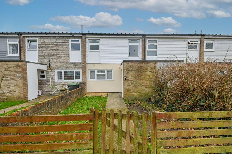
37 CURLEW GARDENS
WATERLOOVILLE, WATERLOOVILLE, HAMPSHIRE PO8 9UD
£1,250 pcm
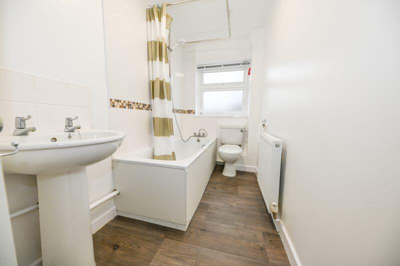
Property details
Floor area
98 m²
EPC rating
C
Year built
England and Wales: 1967-1975
Deprivation
Decile 1 (1,263 of 33,755)
Street crime
106 incidents within 1 mile (Apr 2026)
Key features
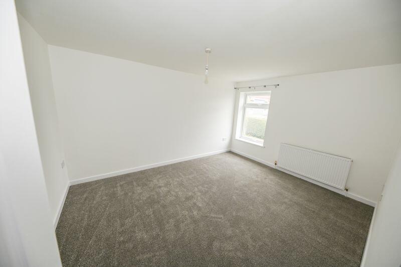
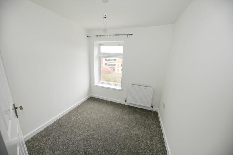
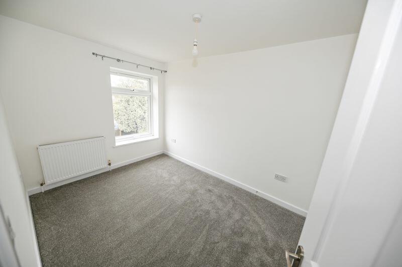
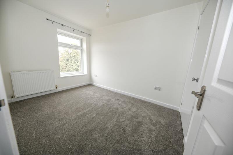
- THREE BEDROOM FAMILY HOME
- UNFURNISHED
- EPC RATING
- MODERN THROUGHOUT
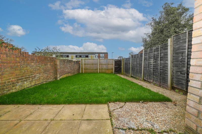
- PRIVATE REAR GARDEN
- REQUESTED LOCATION
- DEPOSIT = 5 WEEKS RENT
- DOUBLE GLAZING
- AVAILABLE NOW
- EARLY VIEWNG ADVISED
Additional details
- Garden
- Yes
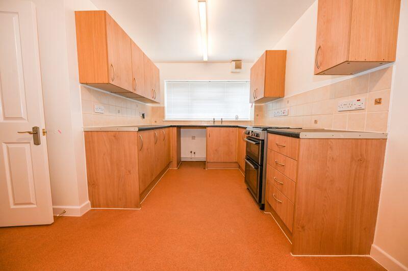
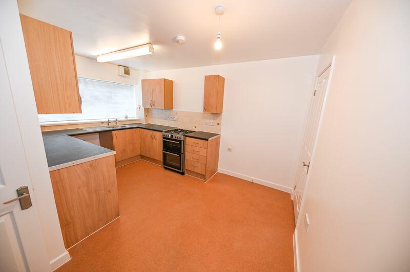
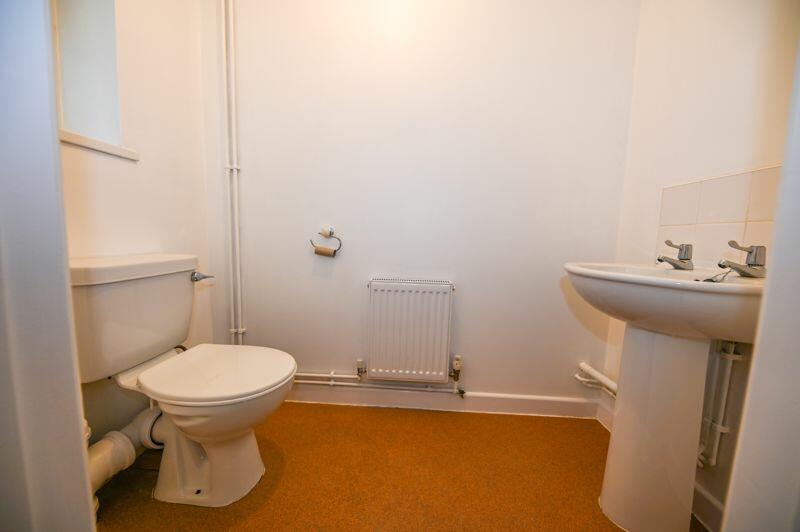
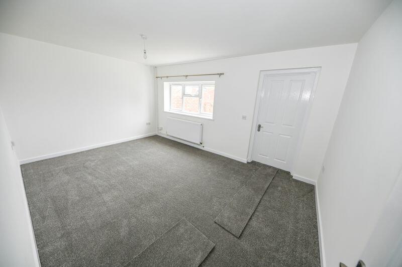
Description
Listed by
Waterlooville
Archbold & Edwards
Reference: 156289004
EPC Rating & Upgrade Cost
Current rating: C
Potential rating: B
Inspection date: 29/06/2022
Expiry date: 28/06/2032
Est. upgrade cost to C: £14,500
Recommendations
- Floor insulation (solid floor) (£4,000 - £6,000)
- Solar water heating (£4,000 - £6,000)
- Solar photovoltaic panels, 2.5 kWp (£3,500 - £5,500)
Flood risk
Zone: 1
Risk: Low
Job (default Low)
Rental Range
Estimated market rent for Havant. Low = conservative, Realistic = average, Optimistic = best case.
Based on Local Authority from postcode lookup → Havant.
LHA (30th percentile) floor for Portsmouth: £997/mo (Apr 2025 – Mar 2026)
Location
Nearby
Nearest stations, universities and amenities (distance from property).
| Type | Name | Distance |
|---|---|---|
| Bus stop | Curlew Gardens | 0.1 miles |
| Bus stop | Dove Close | 0.1 miles |
| Shop | Premier | 0.2 miles |
| Shop | Ladbrokes | 0.2 miles |
| Train station | Rowlands Castle | 3.0 miles |
| Train station | Bedhampton | 3.6 miles |
| Hospital | Oak Park Community Clinic | 3.7 miles |
| Hospital | Elmleigh Hospital | 3.8 miles |
| University | Rodney Road Centre | 7.3 miles |
| University | University of Portsmouth - Langstone Campus | 7.4 miles |
Street-level crime
| Category | Count |
|---|---|
| Violence and sexual offences | 53 |
| Anti-social behaviour | 13 |
| Criminal damage and arson | 9 |
| Public order | 8 |
| Other crime | 4 |
| Shoplifting | 4 |
| Vehicle crime | 4 |
| Burglary | 3 |
| Other theft | 3 |
| Possession of weapons | 2 |
| Bicycle theft | 1 |
| Drugs | 1 |
| Robbery | 1 |
| Total incidents | 106 |
Within 1 mile during Apr 2026. Source: data.police.uk (England & Wales).
Schools nearby
Nearest open schools with Ofsted ratings (England). Closed schools are not shown. Data from Get Information about Schools and Ofsted.
| Name | Type | Distance | Ofsted |
|---|---|---|---|
| Woodcroft Primary | Primary | 0.1 miles | Good — 1 Jul 2024 |
| Rachel Madocks School | Other | 0.4 miles | Good — 15 Oct 2014 |
| Bere Clinic School | Other | 0.5 miles | Good — 27 Jul 2023 |
| The Cowplain School | Secondary | 0.7 miles | Good — 6 May 2024 |
| Hart Plain Infant School | Primary | 0.7 miles | Good — 28 Jun 2017 |
Rental Comparables
Residential lets from OpenRent and Rightmove for the area (same bedroom count). Use to validate rent estimates. Student lets are excluded.
| Title | Rent | Beds | Distance | As seen on |
|---|---|---|---|---|
| 3 Bed Detached House, Cottage, PO8 | £2,800/mo | 3 | 0.81 miles | OpenRent |
| 3 Bed Detached House, Coldhill Lane, PO8 | £1,950/mo | 3 | 0.84 miles | OpenRent |
Average rent: £2,375/mo (2 listings)