161 SYCAMORE DRIVE
NEWTOWN, POWYS SY16 2QQ
£315,000
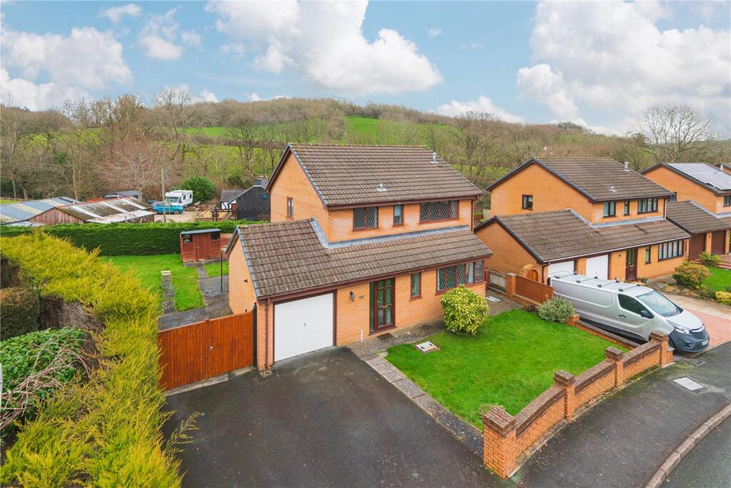
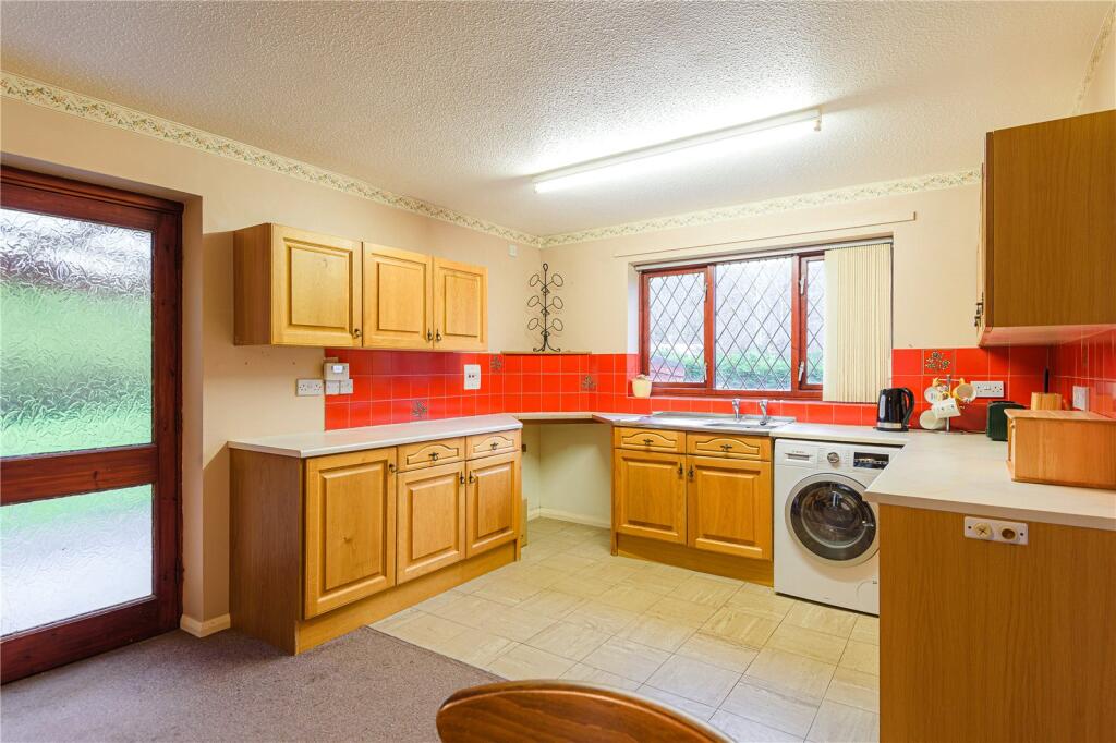
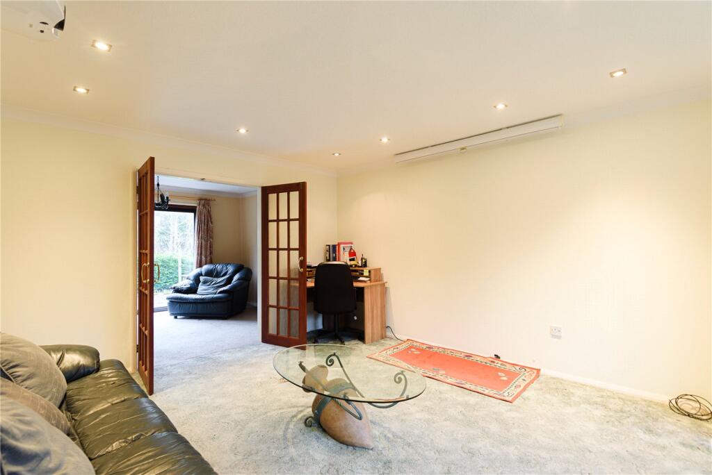
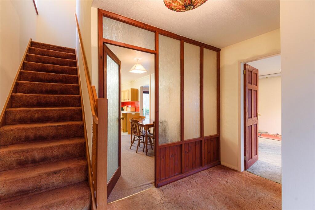
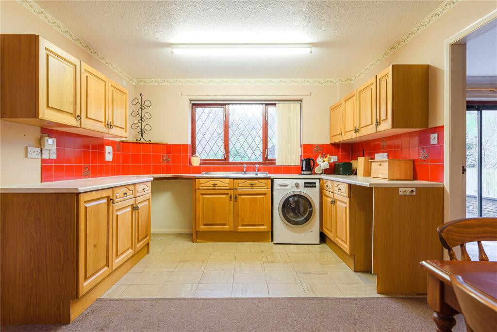
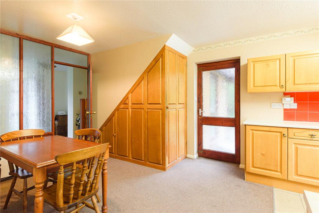
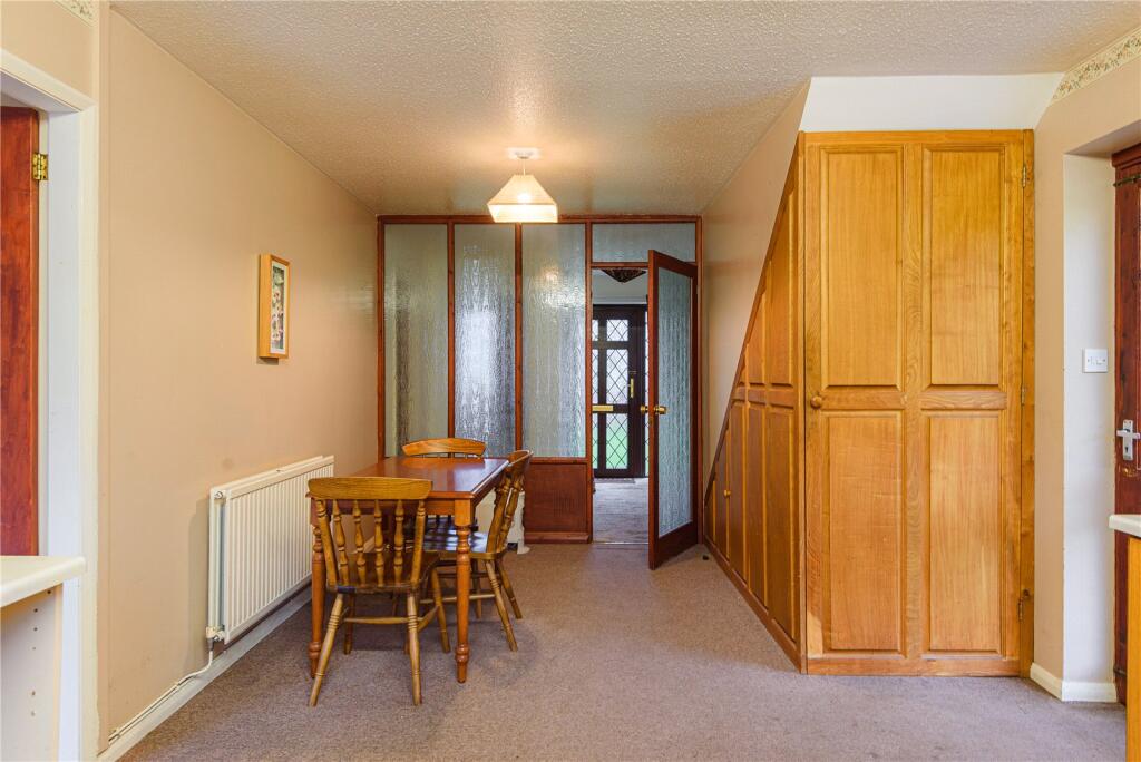
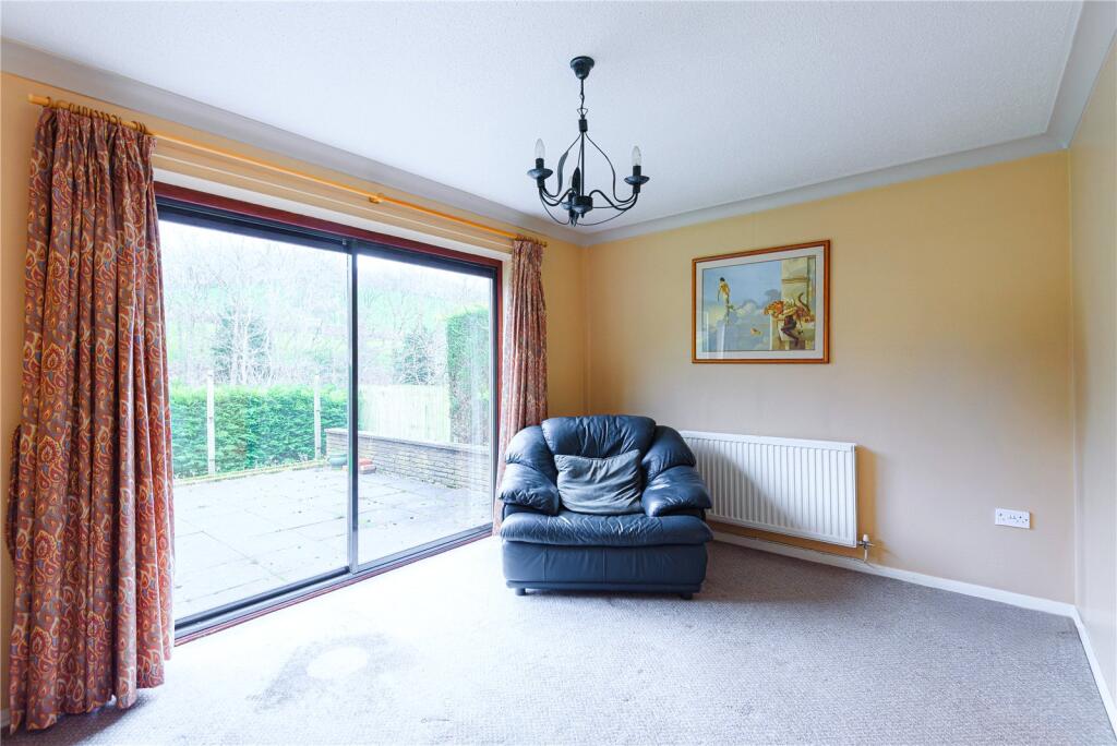
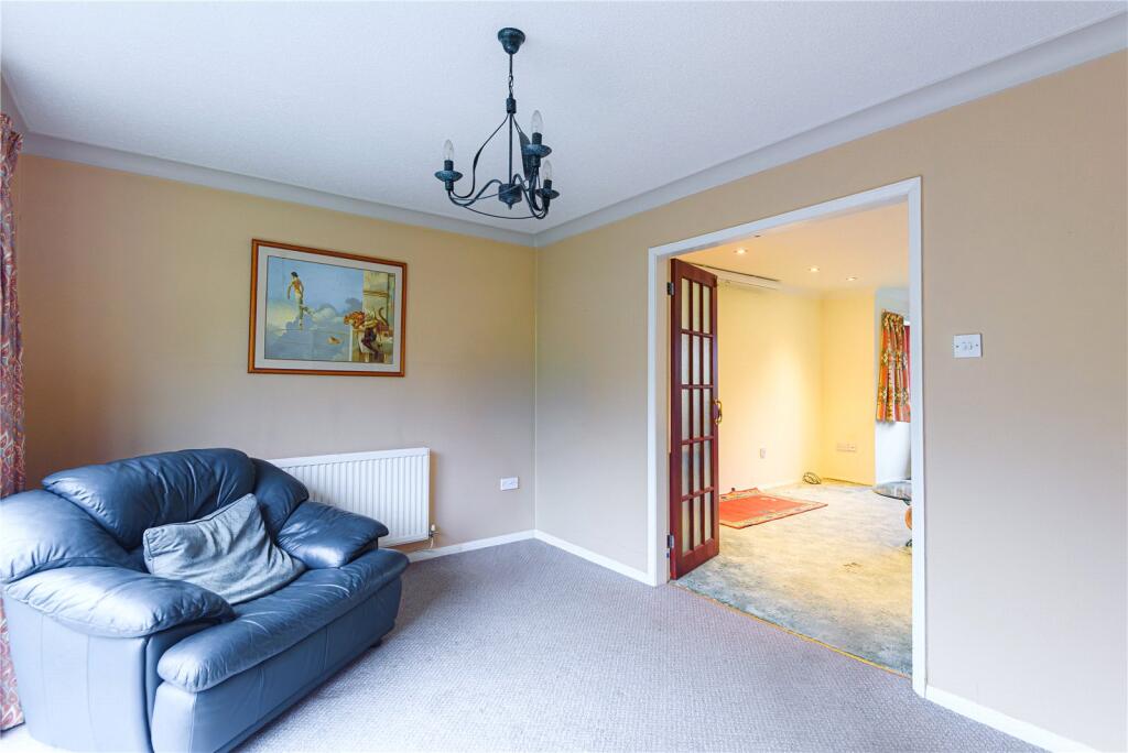
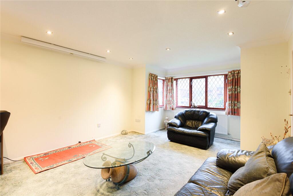
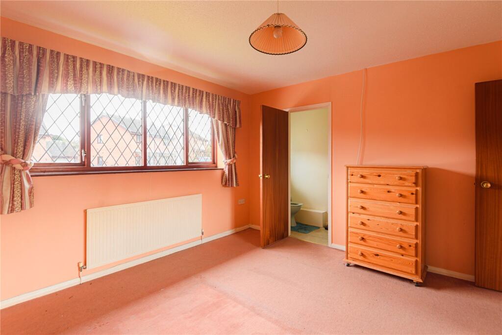
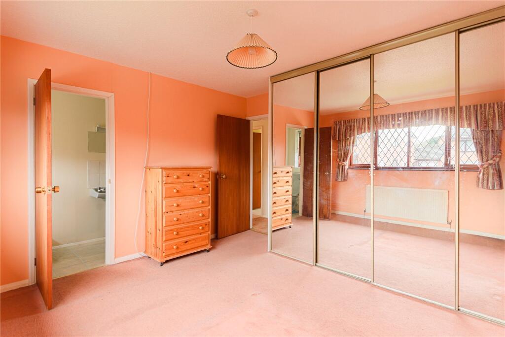
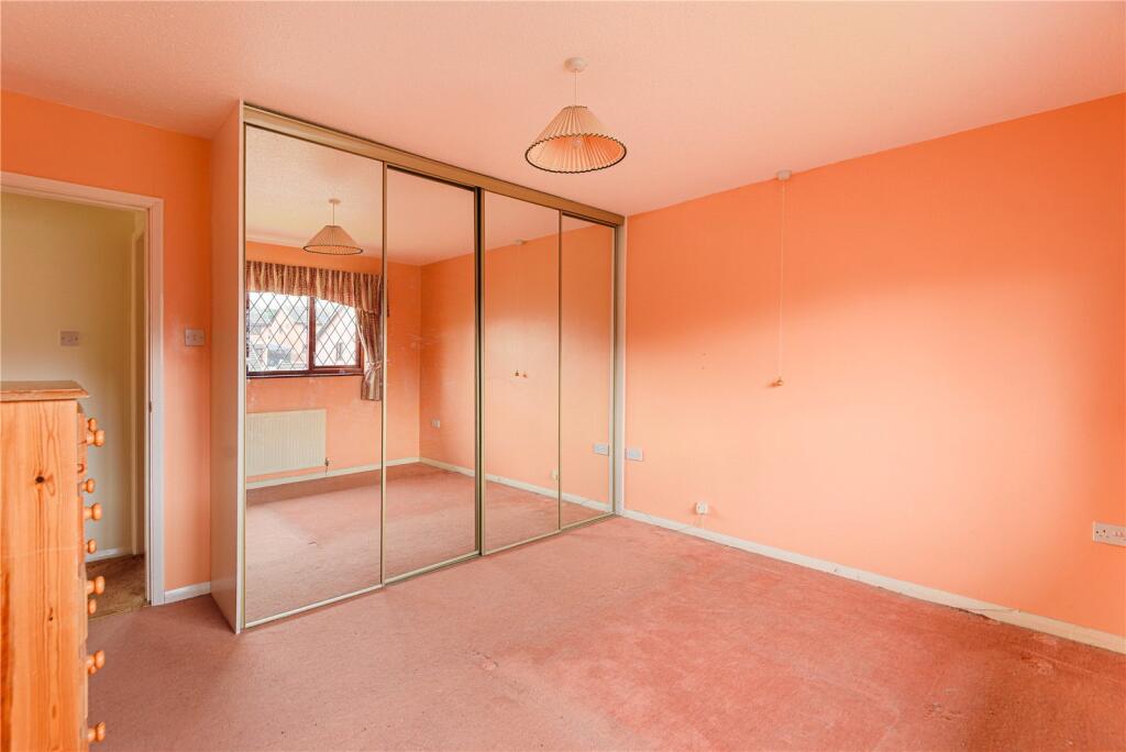
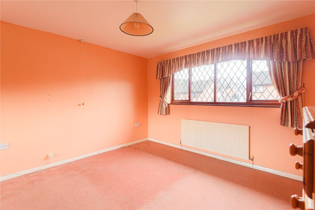
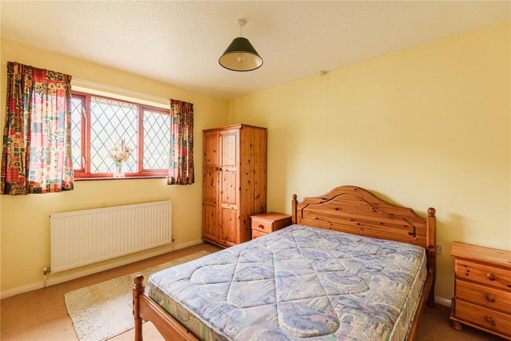
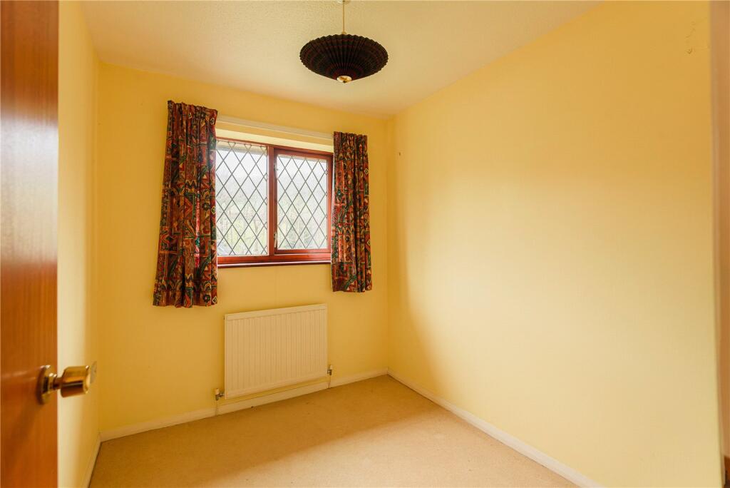
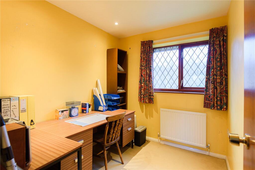
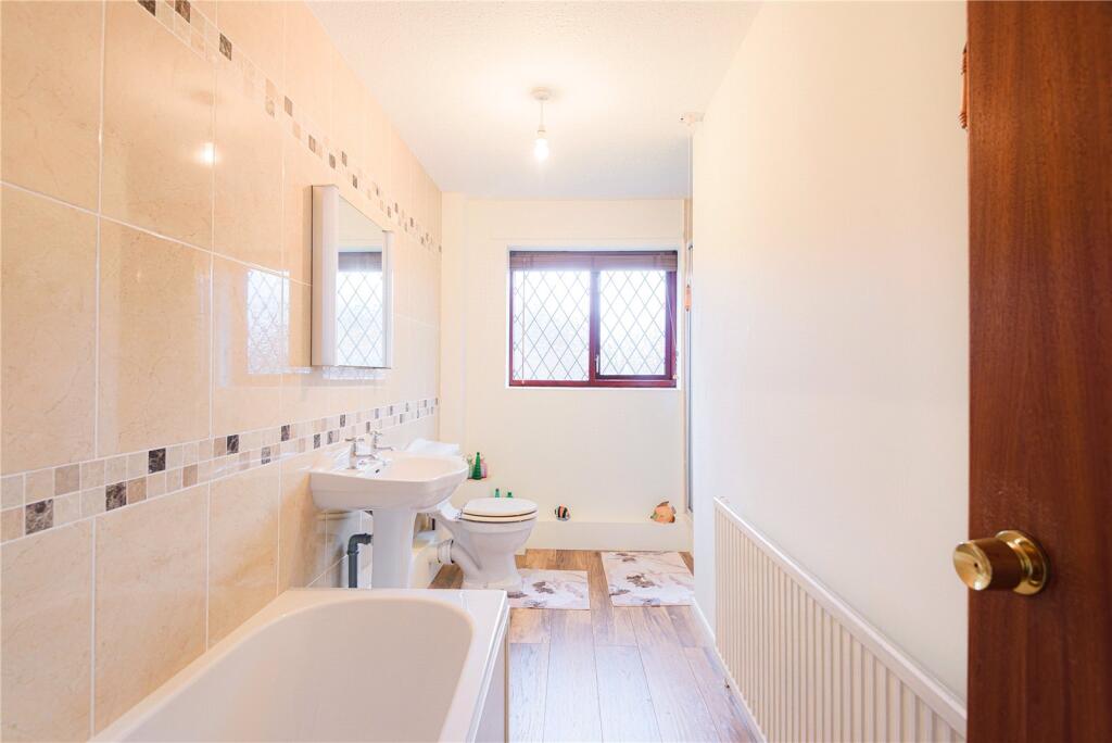
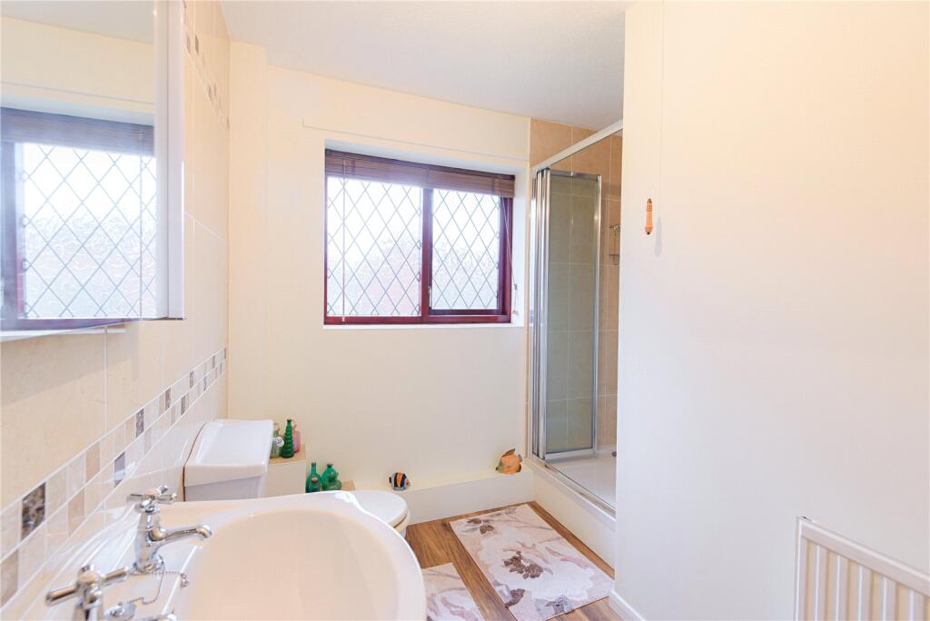
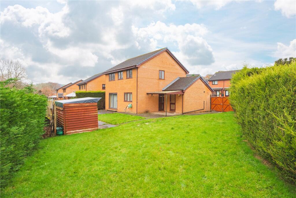
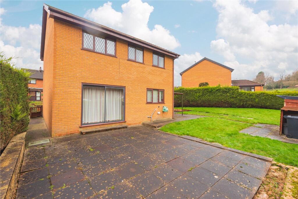
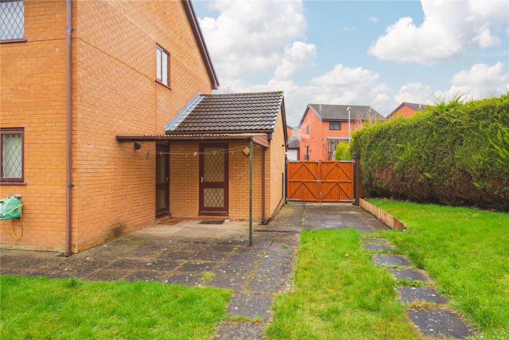
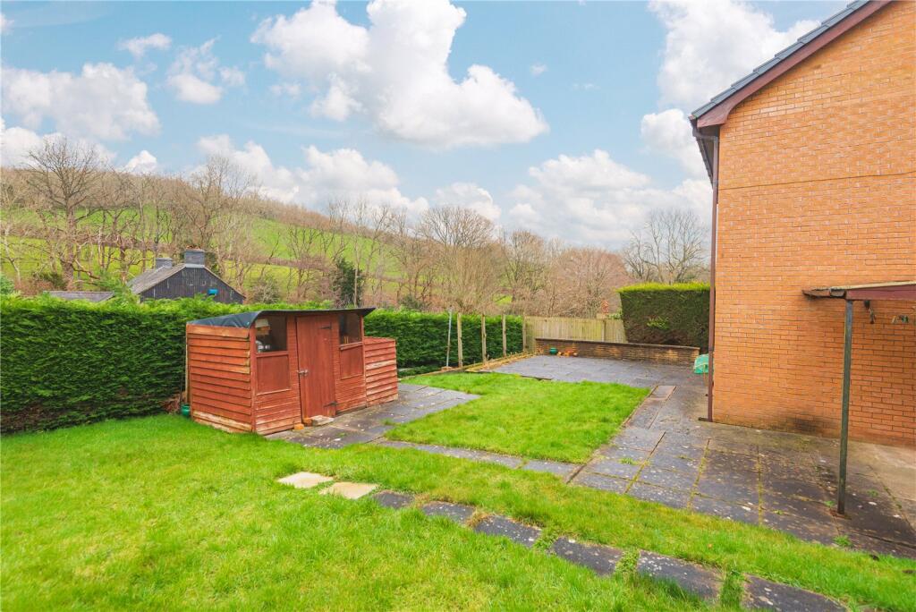
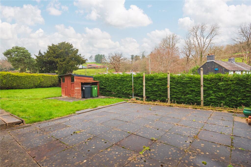
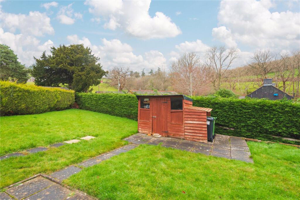
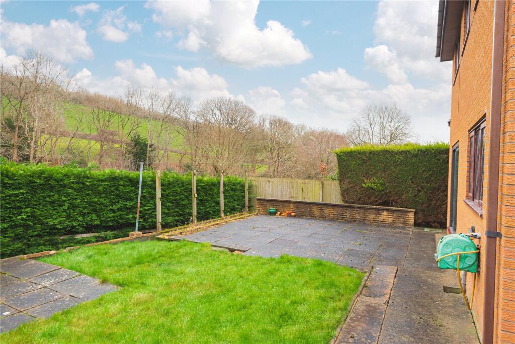
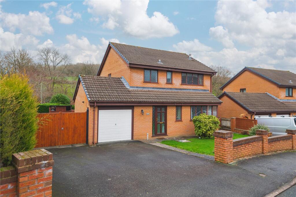
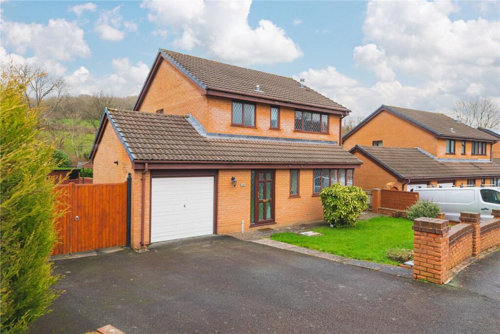
Picture No. 29 Picture No. 17 Picture No. 12 Picture No. 20 Picture No. 18 Picture No. 16 Picture No. 19 Picture No. 14 Picture No. 15 Picture No. 13 Picture No. 05 Picture No. 04 Picture No. 06 Picture No. 07 Picture No. 03 Picture No. 08 Picture No. 09 Picture No. 10 Picture No. 11 Picture No. 23 Picture No. 22 Picture No. 26 Picture No. 24 Picture No. 21 Picture No. 25 Picture No. 27 Picture No. 28 Picture No. 30
/ 28
Property details
Tenure
FREEHOLD
Floor area
119 m²
Council tax band
E
EPC rating
C
Last sold
£300,000 Jul 2026
Price per m²
£2,647/m²
Local average
£348,217 (-9.5%)
Street crime
88 incidents within 1 mile (Aug 2026)
Additional details
- Parking
- Yes
- Garden
- Yes
Description
Listed by
Newtown
McCartneys LLP
Reference: 171898145
EPC Rating & Upgrade Cost
Current rating: C
Potential rating: B
Inspection date: 03/03/2025
Expiry date: 02/03/2035
Current heating cost: £1,034/year
Potential heating cost: £903/year
Est. upgrade cost to C: £14,900
Recommendations
- Floor insulation (solid floor) (£4,000 - £6,000)
- Upgrade heating controls (£350 - £450)
- Solar water heating (£4,000 - £6,000)
- Solar photovoltaic panels, 2.5 kWp (£3,500 - £5,500)
Flood risk
Zone: 1
Risk: Low
Job (default Low)
Registered land (INSPIRE)
This location falls inside an HM Land Registry INSPIRE registered freehold polygon.
Plot: ~562 m² (0.14 acres)
Source: HM Land Registry INSPIRE Index Polygons.
Floorplans
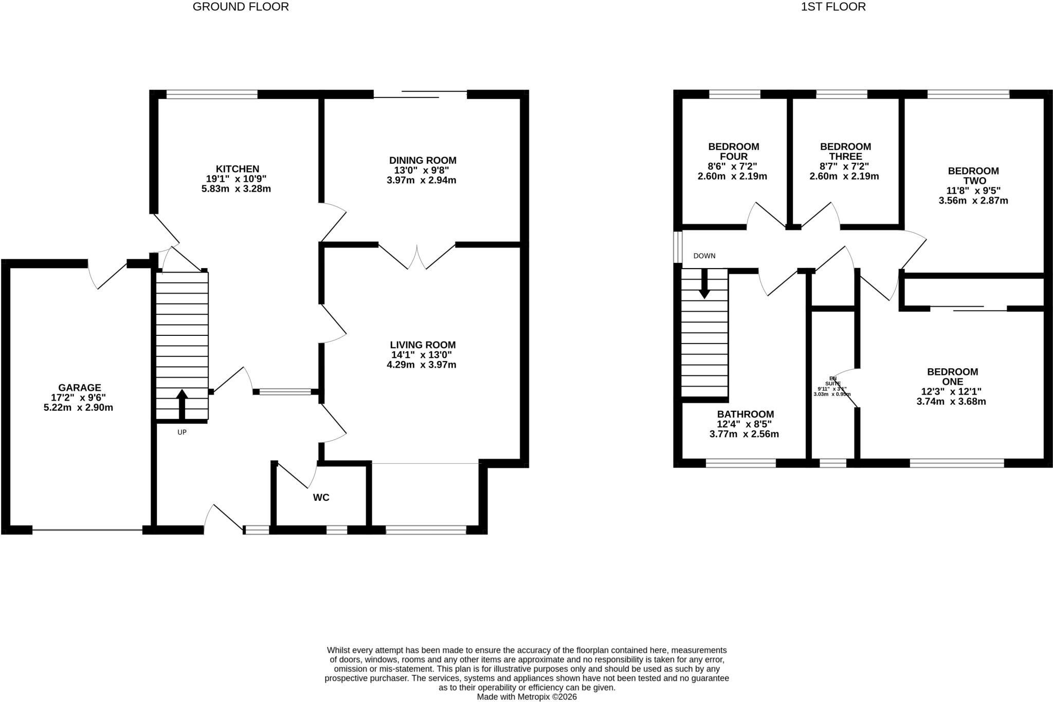
Floorplan
EPC Graphs
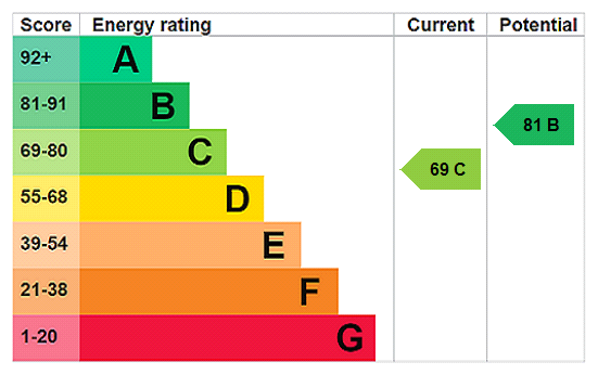
EPC Rating Graph
Price history
239% since 1999
| Event | Date | Price | % change |
|---|---|---|---|
| Sold | 10/07/2026 (3 months ago) | £300,000 | +239% |
| Sold | 03/06/1999 (27 years ago) | £88,500 | — |
Source: HM Land Registry Price Paid Data. Crown copyright.
Sold Comparables
Same street and nearby sales within 0.25 miles (last 5 years). Data from Land Registry Price Paid.
| Address | Price | Date | Type |
|---|---|---|---|
| 41 OAKLANDS PARK, NEWTOWN, POWYS, SY16 2QR | £325,000 | 05/12/2025 | Detached |
| 16 POPLAR ROAD, NEWTOWN, POWYS, SY16 2QG | £430,000 | 31/01/2025 | Detached |
| 114 SYCAMORE DRIVE, NEWTOWN, POWYS, SY16 2QE | £182,500 | 08/11/2024 | Detached |
| 19 BEECHWOOD DRIVE, NEWTOWN, POWYS, SY16 2QA | £341,000 | 01/12/2023 | Detached |
| 2 POPLAR ROAD, NEWTOWN, POWYS, SY16 2QG | £277,000 | 01/12/2023 | Detached |
| BRYNTEG, 126 SYCAMORE DRIVE, NEWTOWN, POWYS, SY16 2QE | £302,000 | 29/09/2023 | Detached |
| CRUD YR AWEL, 32 CHURCHILL DRIVE, NEWTOWN, POWYS, SY16 2LQ | £255,000 | 14/03/2023 | Detached |
| 23 OAKTREE AVENUE, NEWTOWN, POWYS, SY16 2LF | £290,000 | 02/02/2023 | Detached |
| 18 OAKTREE AVENUE, NEWTOWN, POWYS, SY16 2LF | £225,000 | 12/10/2022 | Detached |
| IVY COTTAGE LONESOME LANE, NEWTOWN, POWYS, SY16 2JP | £341,555 | 26/04/2022 | Detached |
| 8 POPLAR ROAD, NEWTOWN, POWYS, SY16 2QG | £268,000 | 23/02/2022 | Detached |
| 29 OAKLANDS PARK, NEWTOWN, POWYS, SY16 2QR | £232,000 | 04/02/2022 | Detached |
| 122 SYCAMORE DRIVE, NEWTOWN, POWYS, SY16 2QE | £280,000 | 24/12/2021 | Detached |
| 45 CHURCHILL DRIVE, NEWTOWN, POWYS, SY16 2LQ | £185,000 | 10/12/2021 | Detached |
| Same street 152 SYCAMORE DRIVE, NEWTOWN, POWYS, SY16 2QQ | £140,000 | 29/10/2021 | Semi-detached |
Street average: £140,000 (1 sale)
Area average: £281,004 (14 sales)
Capital growth trend
Land Registry outcode average: last 12 months vs 5y and 10y ago (from sold prices).
House Price Index (HM Land Registry — official index, not sold-price averages): Powys. Series: Detached. As of July 2026.
Rental Range
Estimated market rent for Powys. Low = conservative, Realistic = average, Optimistic = best case.
Based on Local Authority from postcode lookup → Powys.
Location
Nearby
Nearest stations, universities and amenities (distance from property).
| Type | Name | Distance |
|---|---|---|
| Hospital | Montgomeryshire County Infirmary | 0.3 miles |
| Bus stop | Unknown | 0.5 miles |
| Shop | Cracked Wheat Organics | 0.6 miles |
| Bus stop | Newtown Tesco | 0.6 miles |
| Shop | Barber Shop | 0.7 miles |
| Train station | Newtown | 0.8 miles |
| Train station | Caersws | 5.3 miles |
| Hospital | Llanidloes War Memorial Hospital | 10.9 miles |
Street-level crime
| Category | Count |
|---|---|
| Violence and sexual offences | 42 |
| Anti-social behaviour | 11 |
| Criminal damage and arson | 8 |
| Shoplifting | 8 |
| Public order | 6 |
| Other theft | 5 |
| Drugs | 4 |
| Burglary | 2 |
| Bicycle theft | 1 |
| Other crime | 1 |
| Total incidents | 88 |
Within 1 mile during Aug 2026. Source: data.police.uk (England & Wales).
Schools nearby
Nearest open schools with Ofsted ratings (England). Closed schools are not shown. Data from Get Information about Schools and Ofsted.
| Name | Type | Distance | Ofsted |
|---|---|---|---|
| Penygloddfa C.P. School | Other | 0.5 miles | — (No rating) |
| Treowen C.P. School | Other | 0.8 miles | — (No rating) |
| St Mary's R.C. (A) School | Other | 0.9 miles | — (No rating) |
| Ysgol Dafydd Llwyd | Other | 0.9 miles | — (No rating) |
| Ysgol Calon y Dderwen | Other | 0.9 miles | — (No rating) |
Rental Comparables
Rental listings exist nearby, but none matched the 4-bedroom count for this property.
Rent-driven metrics
Based on Area rent estimate.
- Rent ratio — Monthly rent ÷ purchase price (1% rule). 1%+ = strong, 0.8–1% = okay, <0.8% = weak for cashflow.
- Max investor price — Rent ÷ 0.8%; the price at which rent would be 0.8% of price (Stoke-style target).
- Target investor price — Rent ÷ 1%; the price at which rent would be 1% of price (strong cashflow band).
- Gross yield — Annual rent as % of purchase price (no costs).