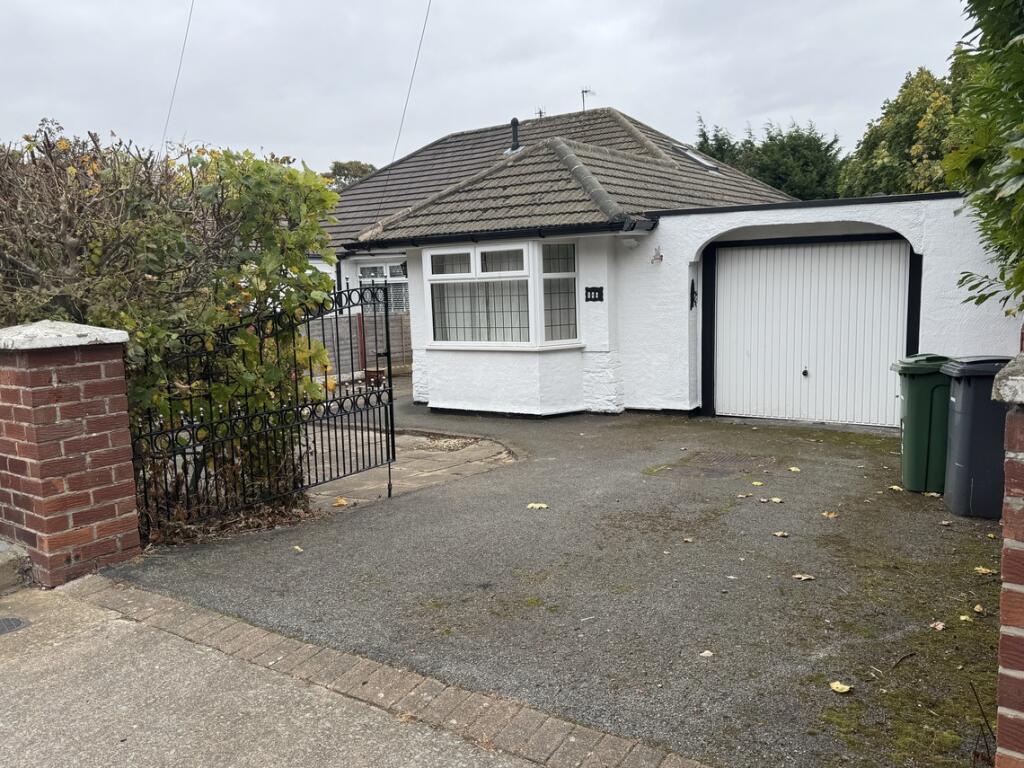
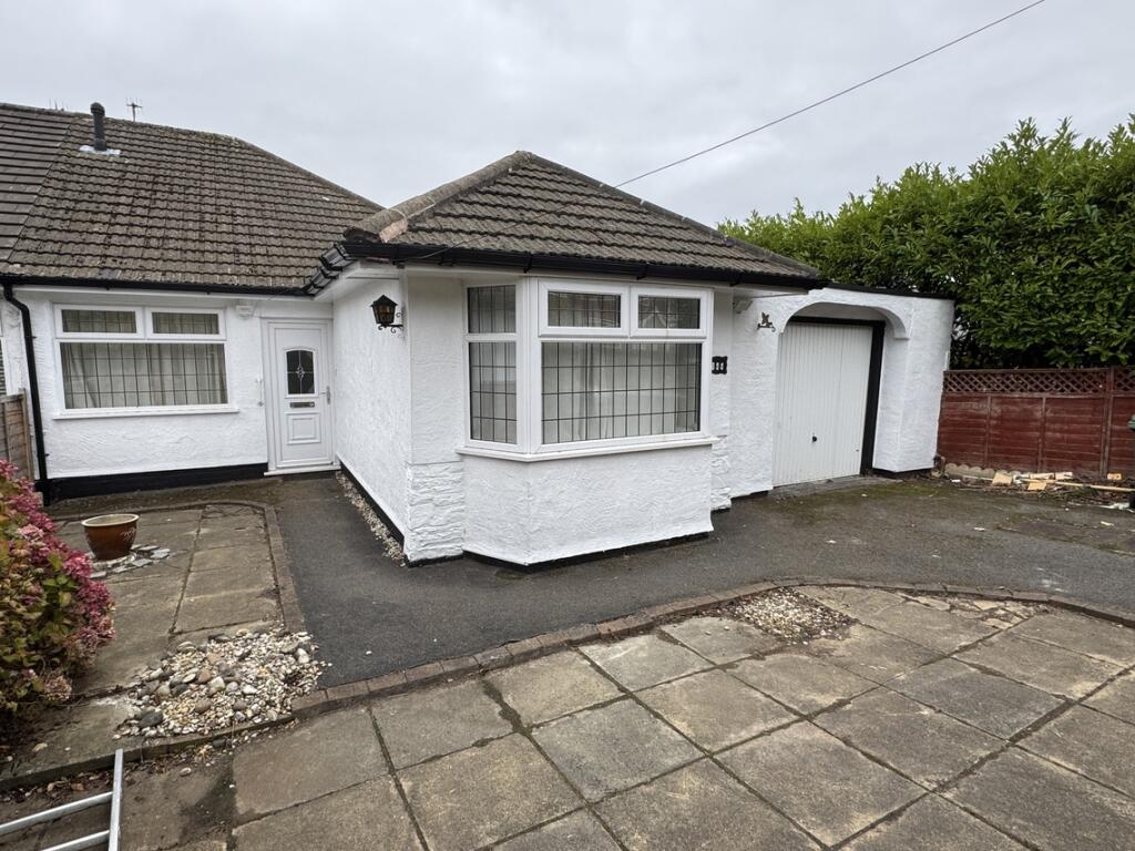
246 PRENTON DELL ROAD
PRENTON, MERSEYSIDE CH43 3BR
£995 pcm
Property details
Floor area
66 m²
Deprivation
Decile 3 (9,283 of 33,755)
Street crime
57 incidents within 1 mile (Apr 2026)
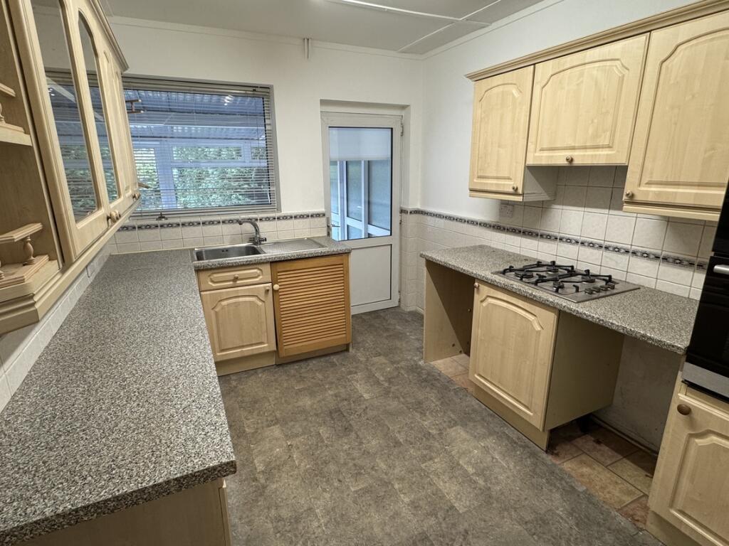
Key features
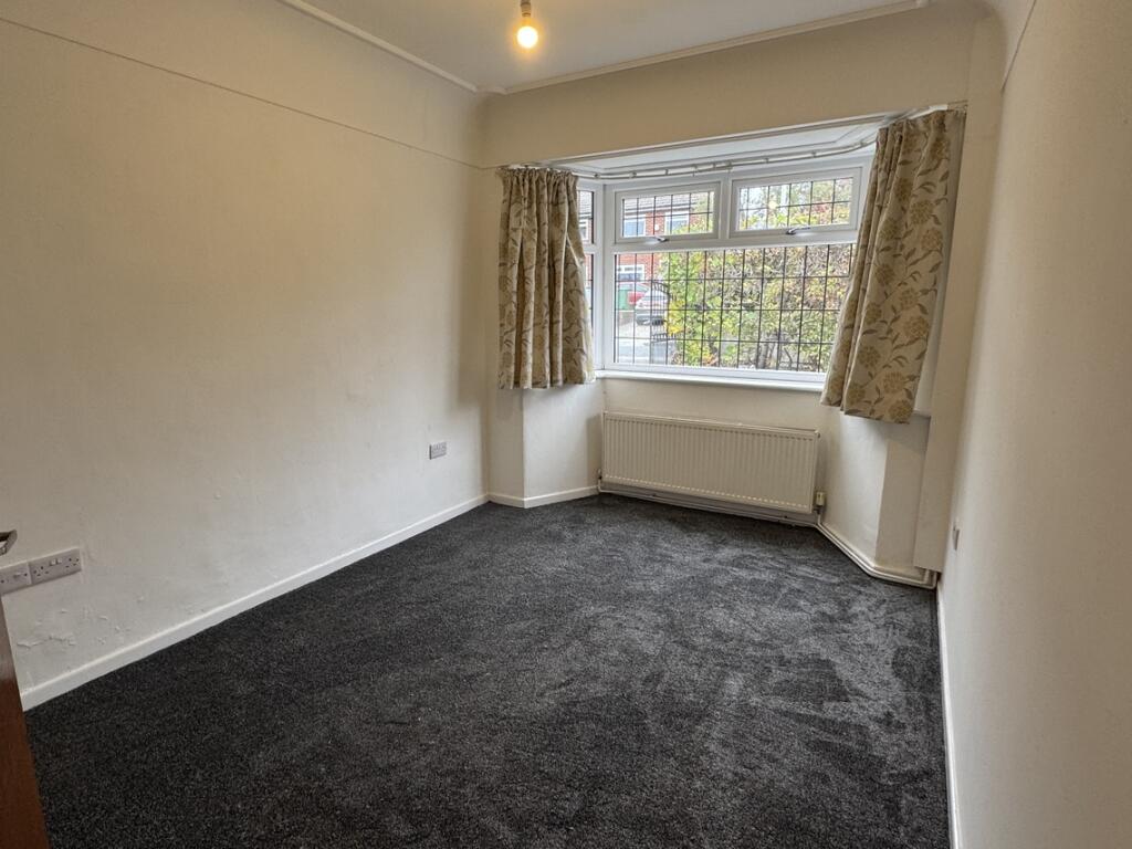
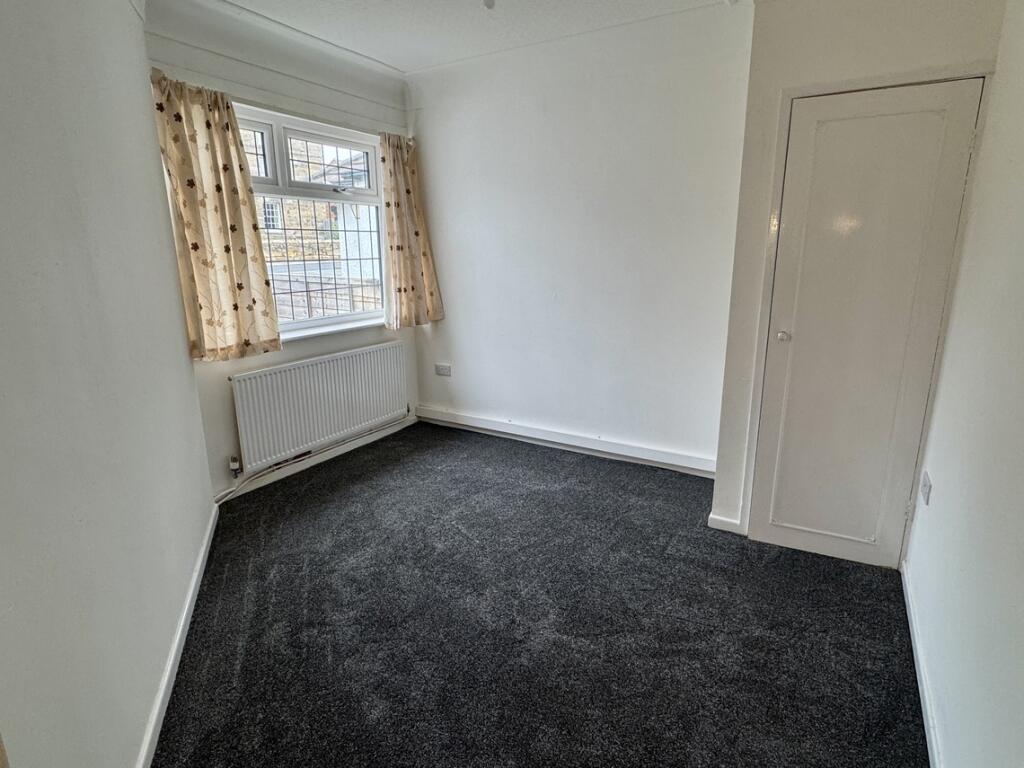
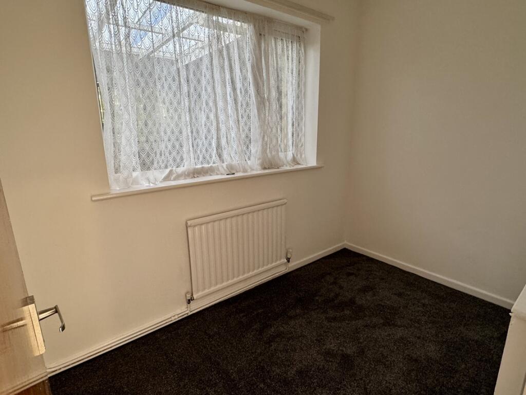
- 2 bedroom, plus smaller further bed/office
- Semi Detached Bungalow
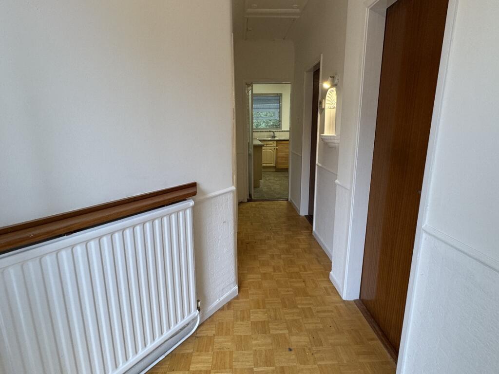
- Gas Central Heating
- uPVC Double Glazing
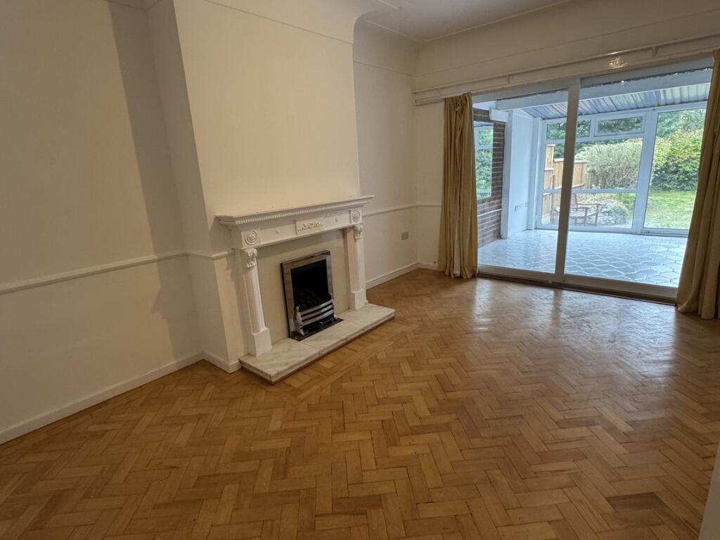
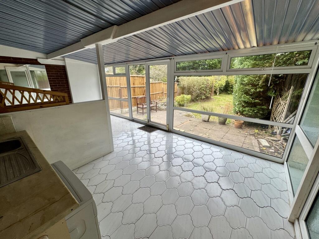
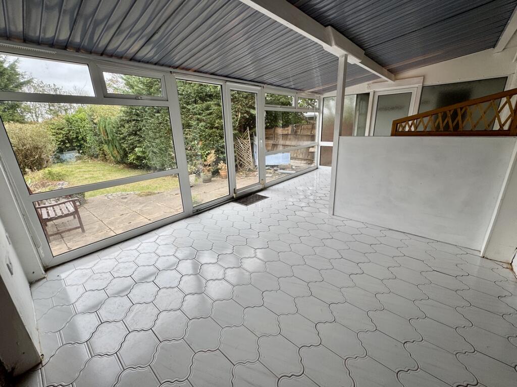
- Conservatory to Rear
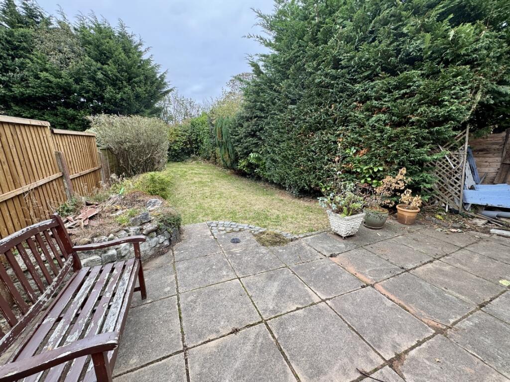
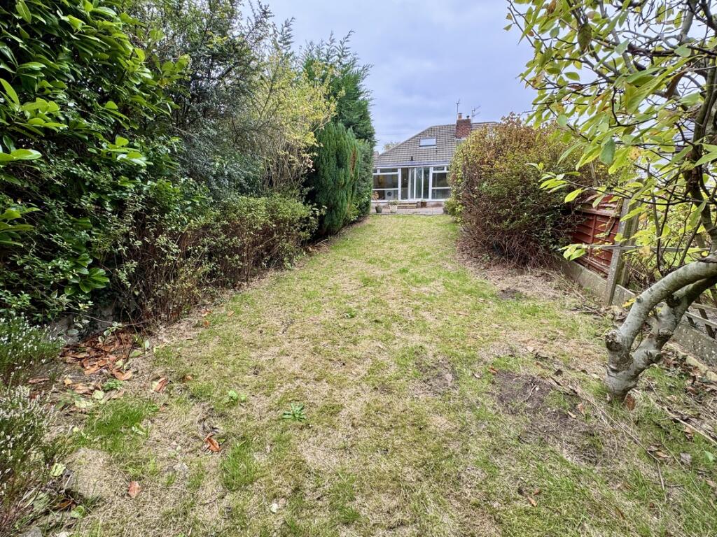
- Good size garden to rear
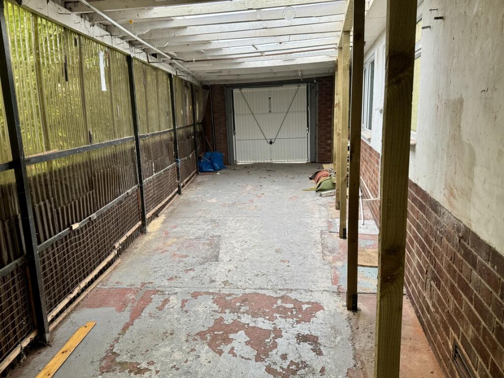
- Off Street Parking
- Covered area to side
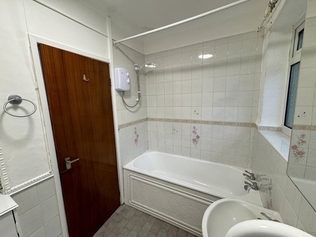
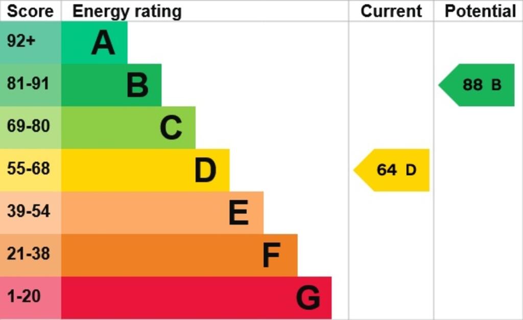
- EPC Band: D - Council Tax Band: C
- Deposit Amount: £995.00
Additional details
- Parking
- Yes
- Garden
- Yes
Description
Listed by
Birkenhead
Moscrops Estate Agents
Reference: 168091421
EPC Rating & Upgrade Cost
Fetching EPC data… Refresh this page in a moment.
Flood risk
Zone: 1
Risk: Low
Job (default Low)
EPC Graphs
EPC Graph

EPC Document
FENSA Certificates
This property has 2 FENSA certificate(s) on record, indicating window/door installations by FENSA-approved installers.
FENSA Certificate #12602821
Property Details
Street: 246 Prenton Dell Road
Town: PRENTON
Postcode: CH43 3BR
Installation Details
Items: 1 door
Certificate Issued: 16/10/2017
Work Completed: 28/07/2017
This certificate data was retrieved from FENSA's database
FENSA Certificate #12920236
Property Details
Street: 246 Prenton Dell Road
Town: PRENTON
Postcode: CH43 3BR
Installation Details
Items: 2 windows and 1 door
Certificate Issued: 07/05/2018
Work Completed: 28/03/2018
This certificate data was retrieved from FENSA's database
What is FENSA? FENSA (Fenestration Self-Assessment Scheme) is a government-authorised scheme that monitors building regulation compliance for replacement windows and doors. Certificates indicate that work was completed by FENSA-approved installers.
Rental Range
Estimated market rent for Wirral. Low = conservative, Realistic = average, Optimistic = best case.
Based on Local Authority from postcode lookup → Wirral.
LHA (30th percentile) floor for Wirral: £524/mo (Apr 2025 – Mar 2026)
Location
Nearby
Nearest stations, universities and amenities (distance from property).
| Type | Name | Distance |
|---|---|---|
| Bus stop | Prenton Hall Road/Prenton Dell Road | 0.1 miles |
| Shop | Hays Travel | 0.6 miles |
| Shop | William Hill | 0.6 miles |
| Train station | Rock Ferry | 1.7 miles |
| Train station | Green Lane | 1.9 miles |
| Hospital | Parkfield Medical Centre | 2.1 miles |
| Hospital | Clatterbridge Cancer Centre - Wirral | 2.5 miles |
| University | University of Liverpool | 4.5 miles |
Street-level crime
| Category | Count |
|---|---|
| Violence and sexual offences | 29 |
| Anti-social behaviour | 6 |
| Vehicle crime | 5 |
| Burglary | 3 |
| Criminal damage and arson | 3 |
| Public order | 3 |
| Drugs | 2 |
| Other crime | 2 |
| Other theft | 2 |
| Shoplifting | 2 |
| Total incidents | 57 |
Within 1 mile during Apr 2026. Source: data.police.uk (England & Wales).
Schools nearby
Nearest open schools with Ofsted ratings (England). Closed schools are not shown. Data from Get Information about Schools and Ofsted.
| Name | Type | Distance | Ofsted |
|---|---|---|---|
| Prenton Primary School | Primary | 0.1 miles | Good — 18 May 2012 |
| Oxton St Saviour's CofE Aided Primary School | Primary | 0.8 miles | Good — 2 Apr 2019 |
| St Joseph's Catholic Primary School, Birkenhead | Primary | 0.9 miles | Good — 6 Dec 2022 |
| Devonshire Park Primary School | Primary | 0.9 miles | Good — 28 Jul 2015 |
| Prenton Preparatory School | Other | 1.0 miles | — (No rating) |
Rental Comparables
Loading rental comparables for this postcode. Refresh in a few minutes.