M21 0UX
M21 0UX
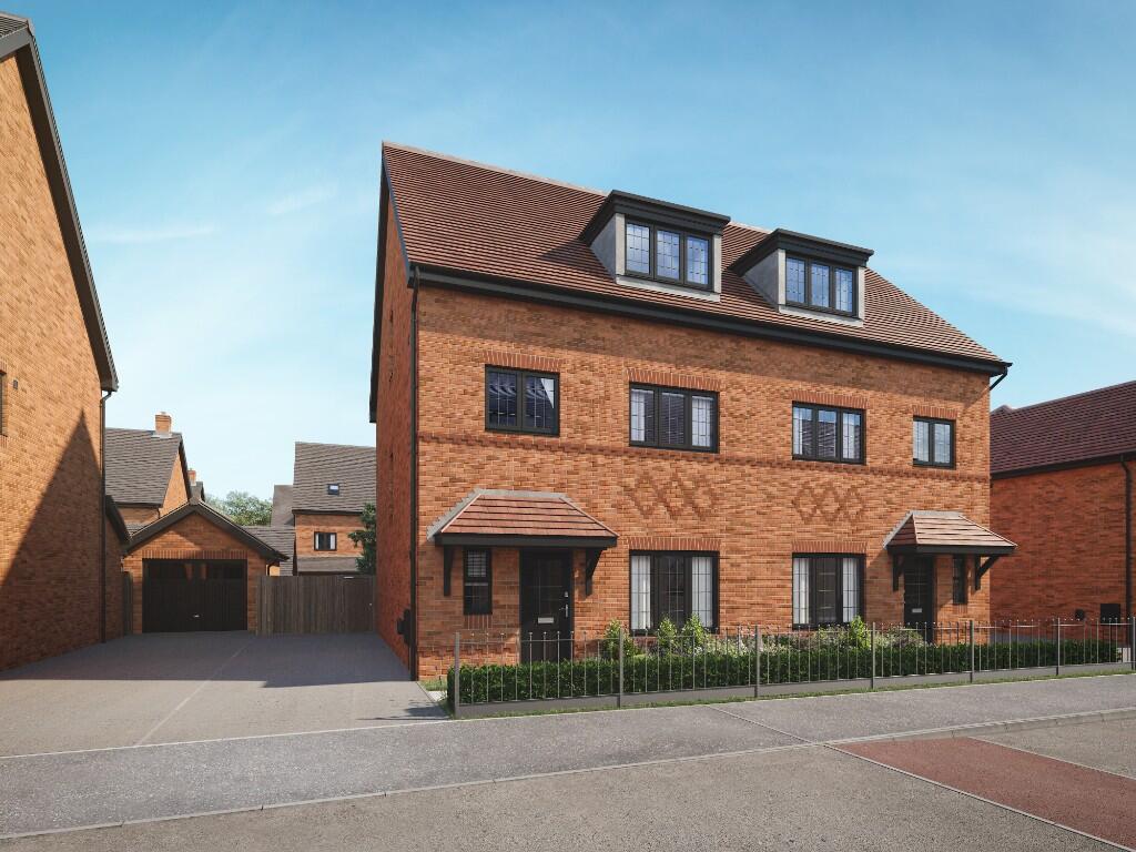
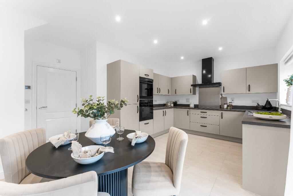
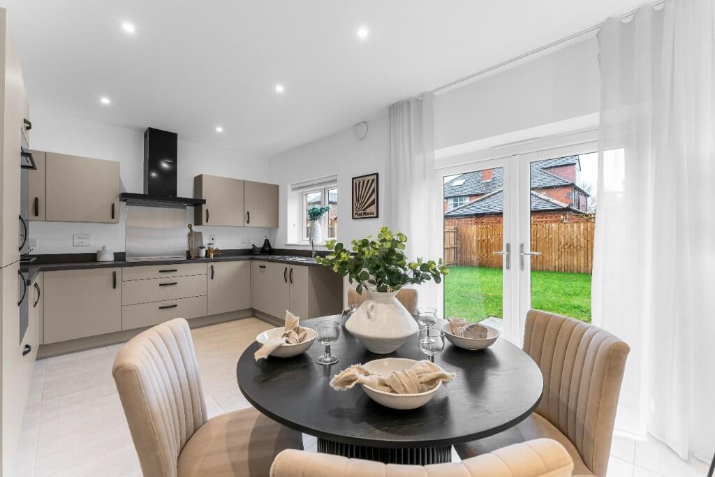
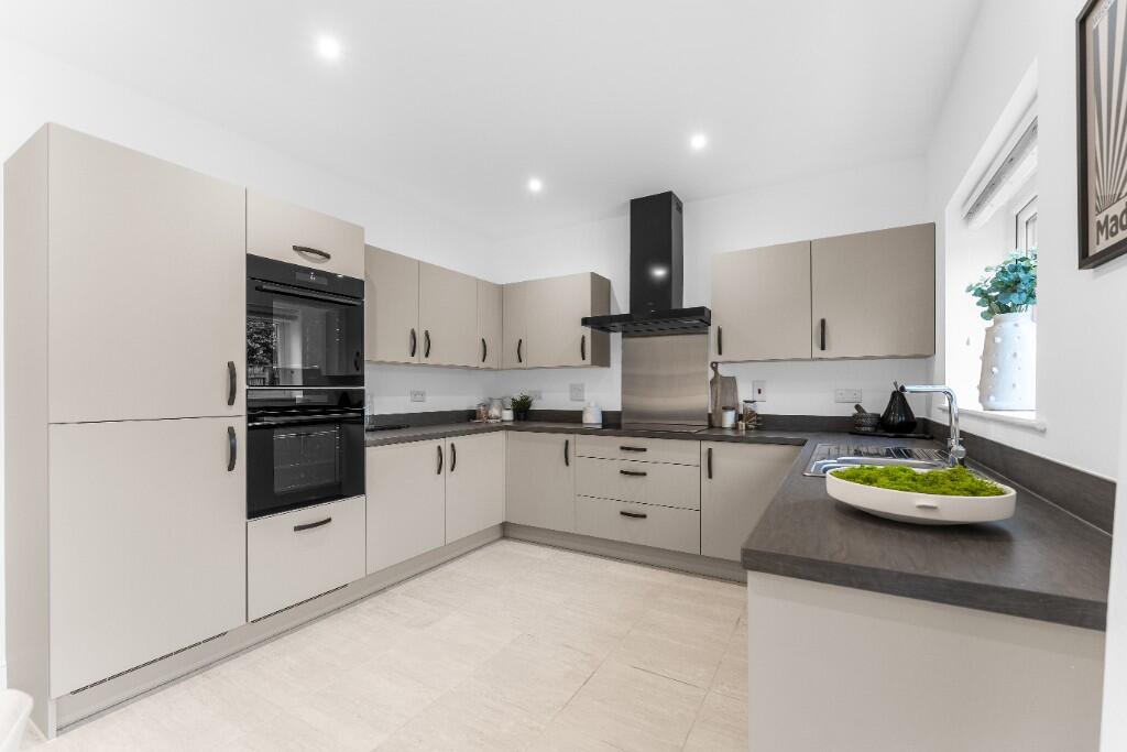


Property details
Tenure
FREEHOLD
Floor area
142 m²
Deprivation
Decile 6 (18,843 of 33,755)
Flood risk
Zone: 1
Risk: Low
Not in Flood Risk Area (no data)
Floorplans
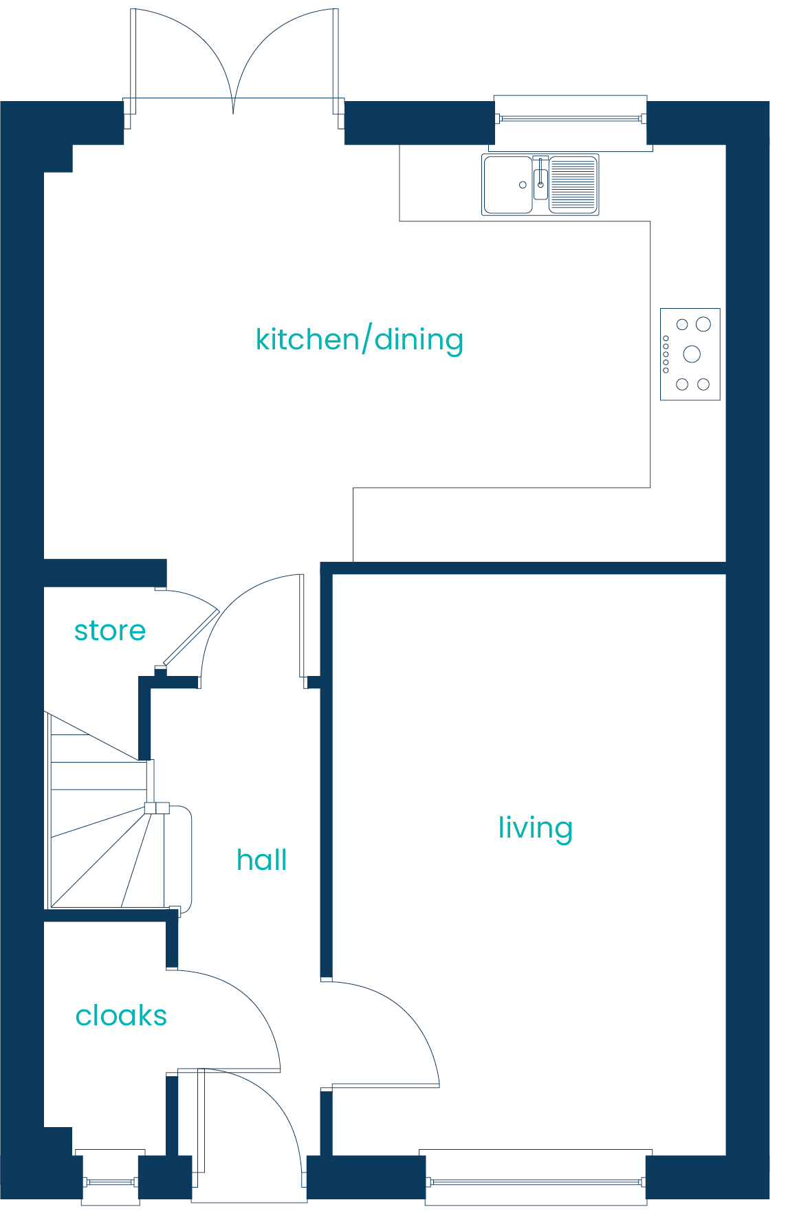
Ground floor
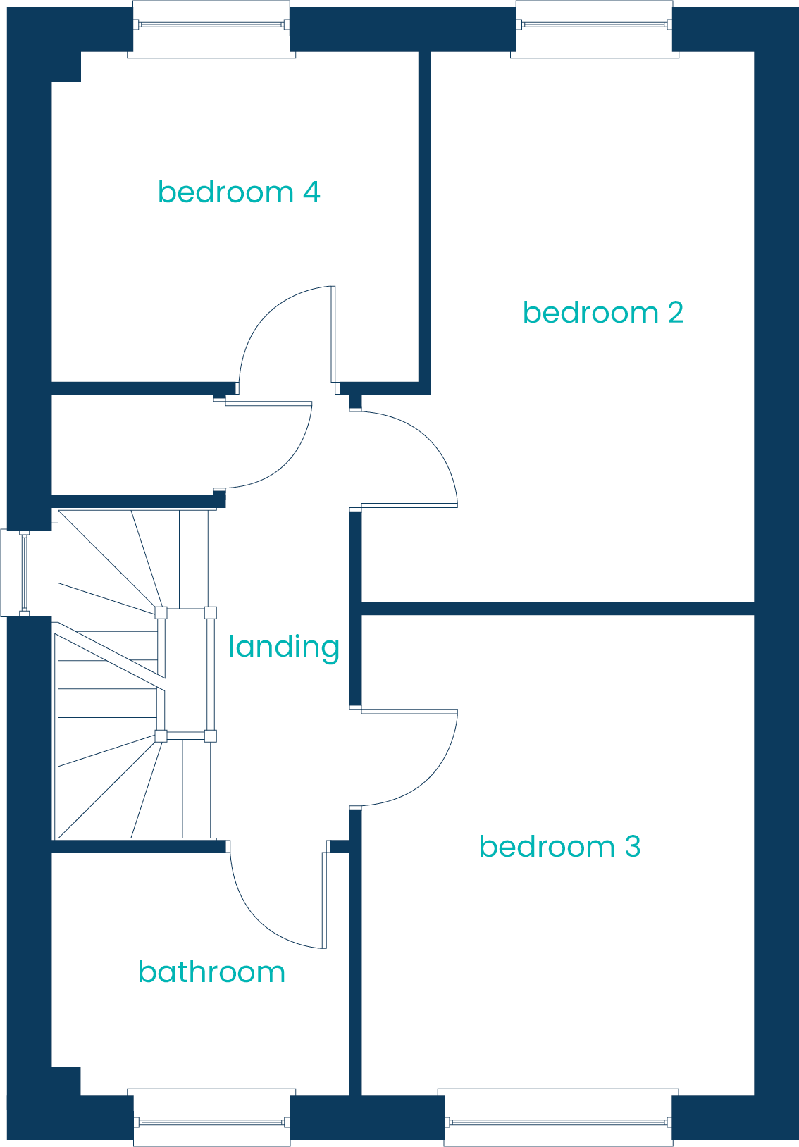
First floor
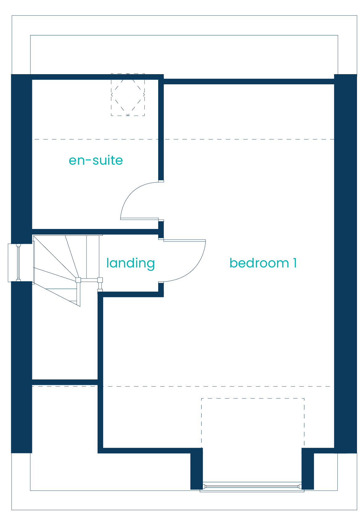
Second floor
Price history
No sales history found for this property in Land Registry Price Paid data.
Sold Comparables
Same street and nearby sales within 0.25 miles (last 5 years). Data from Land Registry Price Paid.
| Address | Price | Date | Type |
|---|---|---|---|
| 354 WILBRAHAM ROAD, MANCHESTER, GREATER MANCHESTER, M21 0UX | £1,025,000 | 15/12/2023 | Other |
| 354 WILBRAHAM ROAD, MANCHESTER, GREATER MANCHESTER, M21 0UX | £1,025,000 | 15/12/2023 | Other |
Area average: £1,025,000 (2 sales)
Capital growth trend
Land Registry outcode average: last 12 months vs 5y and 10y ago (from sold prices).
House Price Index (HM Land Registry — official index, not sold-price averages): Manchester. Series: All dwelling types. As of March 2026.
Rental Range
Estimated market rent for Manchester. Low = conservative, Realistic = average, Optimistic = best case.
Based on Local Authority from postcode lookup → Manchester.
LHA (30th percentile) floor for West Pennine: £760/mo (Apr 2025 – Mar 2026)
Location
Nearby
Nearest stations, universities and amenities (distance from property).
| Type | Name | Distance |
|---|---|---|
| Bus stop | Chorlton, Wilbraham Road / opposite Wyverne Road | 0.0 miles |
| Bus stop | Chorlton, Wilbraham Road / near Wyverne Road | 0.0 miles |
| Shop | Z&A Travel | 0.3 miles |
| Shop | First Class Travels | 0.3 miles |
| Hospital | Spire Manchester Hospital | 1.3 miles |
| University | University of Manchester | 1.4 miles |
| University | University Academy 92 | 1.4 miles |
| Hospital | Withington Community Hospital | 1.4 miles |
| Train station | Deansgate | 2.2 miles |
| Train station | Trafford Park | 2.2 miles |
Street-level crime
Crime data is not yet available for this property.
Rental Comparables
Rental comparables are temporarily unavailable while listing-site fetches are paused. Try again later.