14A
SACKVILLE STREET, STOKE-ON-TRENT, STOKE-ON-TRENT, STOKE-ON-TRENT ST4 6HX
£575 pcm
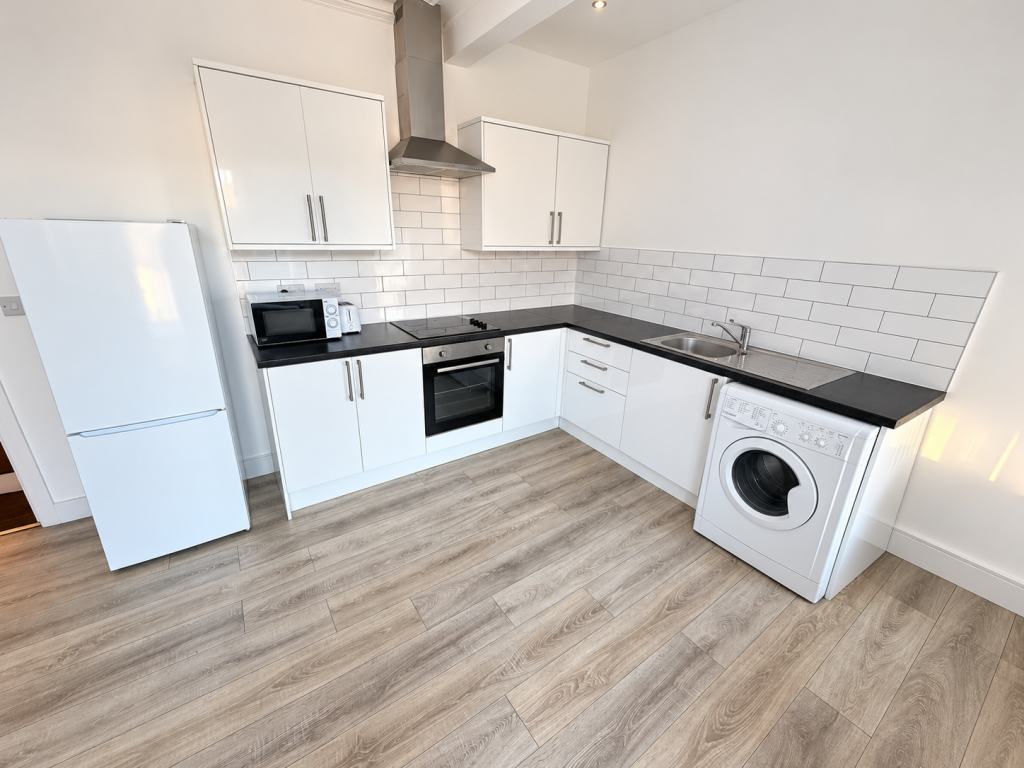
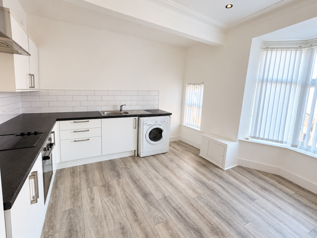
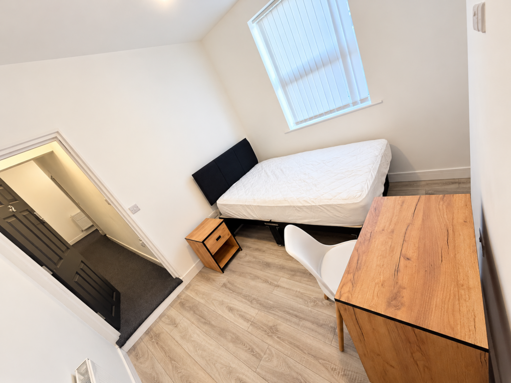
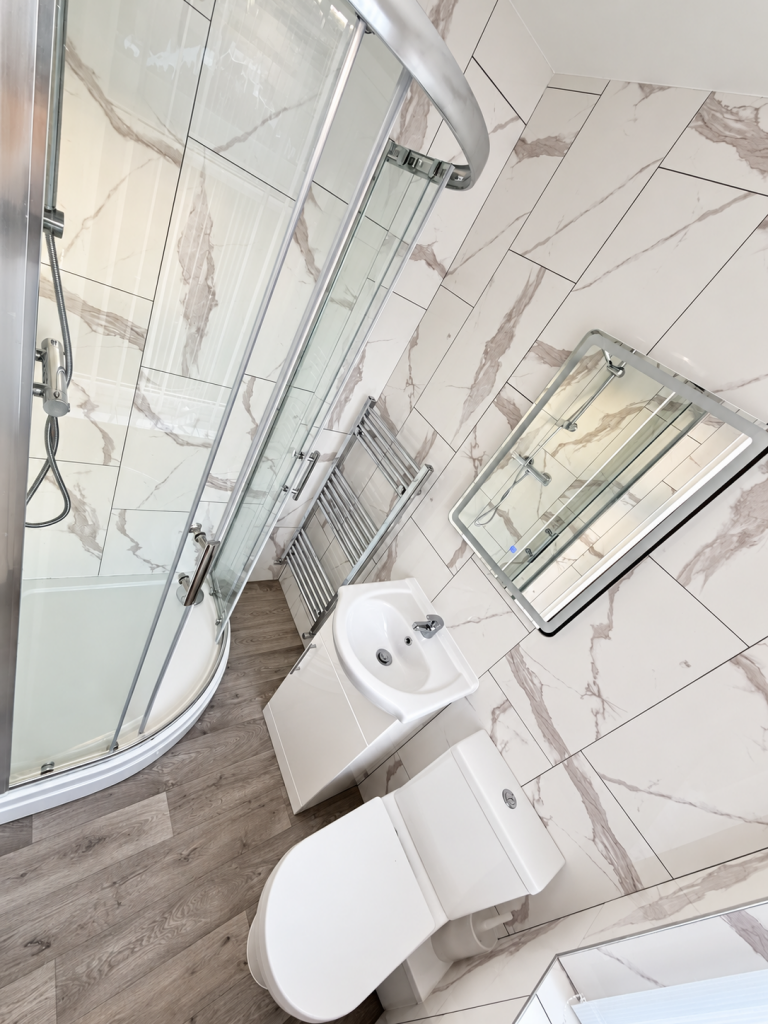
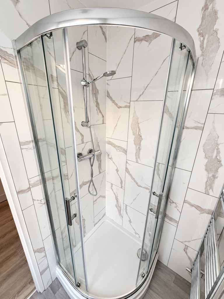
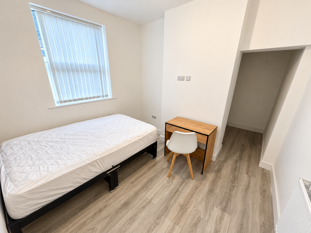
Photo 1 Photo 2 Photo 3 Photo 4 Photo 5 Photo 6
/ 6
Property details
Floor area
59 m²
EPC rating
C
Year built
England and Wales: 1900-1929
Deprivation
Decile 4 (11,573 of 33,755)
Street crime
442 incidents within 1 mile (Aug 2026)
Description
We have an en-suite room available now in a well-maintained shared house on Sackville Street, Stoke-on-Trent (ST4 6HX), in the popular ST4 area, at £575 per calendar month.
Bills are included in the rent: gas, electricity, water, council tax and Wi-Fi (TV Licence not included). Kitchen and communal areas are shared with the other residents.
The deposit is equivalent to one calendar month's rent, the room is for single occupancy and is available immediately.
- 4 bed HMO house
- En-suite room
- Shared kitchen and communal areas
- Bills included
- Available immediately
Listed by
Watford
South Beach Lettings Ltd
Reference: 94897539
EPC Rating & Upgrade Cost
Current rating: C
Potential rating: C
Inspection date: 13/01/2021
Expiry date: 12/01/2031
Current heating cost: £403/year
Potential heating cost: £322/year
Est. upgrade cost to C: £9,000
Recommendations
- 50 mm internal or external wall insulation (£4,000 - £14,000)
Flood risk
Zone: 1
Risk: Low
Job (default Low)
Registered land (INSPIRE)
This location falls inside an HM Land Registry INSPIRE registered freehold polygon.
Plot: ~102 m² (0.03 acres)
Source: HM Land Registry INSPIRE Index Polygons.
EPC Graphs

EPC 1
Rental Range
Estimated market rent for Stoke-on-Trent. Low = conservative, Realistic = average, Optimistic = best case.
Based on Local Authority from postcode lookup → Stoke-on-Trent.
LHA (30th percentile) floor for Staffordshire North: £798/mo (Apr 2025 – Mar 2026)
Location
Nearby
Nearest stations, universities and amenities (distance from property).
| Type | Name | Distance |
|---|---|---|
| Shop | Unknown | 0.0 miles |
| Shop | M.E. Cotton | 0.0 miles |
| Bus stop | The Avenue | 0.1 miles |
| Bus stop | Methodist Church | 0.1 miles |
| Hospital | Royal Stoke University Hospital | 0.9 miles |
| Train station | Stoke-on-Trent | 1.3 miles |
| Train station | Longport | 1.8 miles |
| Hospital | North Staffordshire Hospital | 2.0 miles |
| University | Keele University | 2.7 miles |
| University | Buxton & Leek College | 10.0 miles |
Street-level crime
| Category | Count |
|---|---|
| Violence and sexual offences | 149 |
| Anti-social behaviour | 110 |
| Shoplifting | 41 |
| Criminal damage and arson | 30 |
| Public order | 26 |
| Other theft | 24 |
| Drugs | 19 |
| Burglary | 9 |
| Vehicle crime | 9 |
| Other crime | 7 |
| Robbery | 6 |
| Bicycle theft | 5 |
| Possession of weapons | 5 |
| Theft from the person | 2 |
| Total incidents | 442 |
Within 1 mile during Aug 2026. Source: data.police.uk (England & Wales).
Schools nearby
Nearest open schools with Ofsted ratings (England). Closed schools are not shown. Data from Get Information about Schools and Ofsted.
| Name | Type | Distance | Ofsted |
|---|---|---|---|
| Lyme Brook Independent School | Other | 0.3 miles | Good — 22 Oct 2023 |
| Demetae Academy | Other | 0.4 miles | Good — 30 Jun 2022 |
| Harpfield Primary Academy | Primary | 0.4 miles | Good — 10 Feb 2015 |
| Newcastle-under-Lyme School | Other | 0.5 miles | — (No rating) |
| May Bank Infants' School | Primary | 0.6 miles | Good — 21 Jan 2024 |
Rental Comparables
Residential lets from OpenRent and Rightmove for the area (same bedroom count). Use to validate rent estimates. Student lets are excluded.
Average rent: £1,439/mo (14 listings)