Elm Tree Close
Stalybridge, SK15, SK15 2HF
£625 pcm
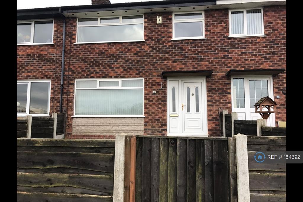
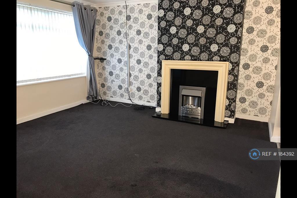
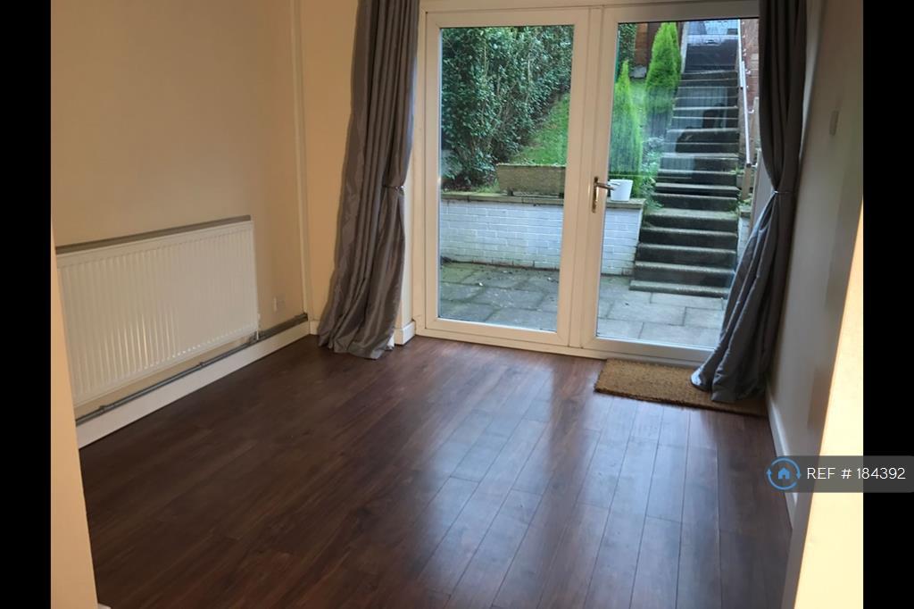
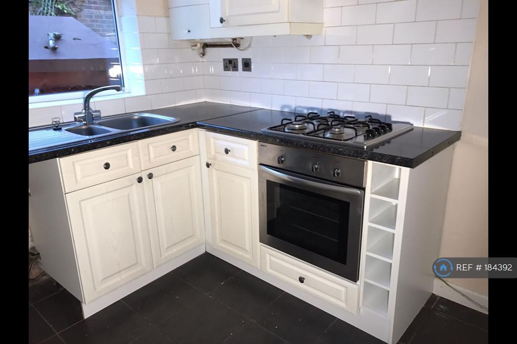
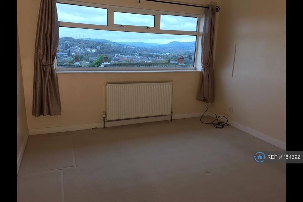
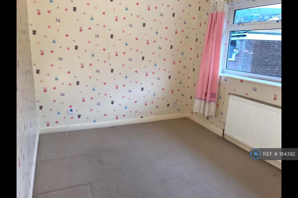
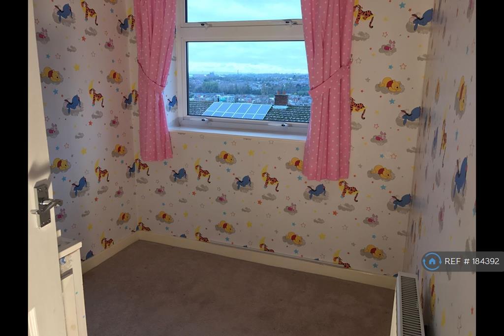
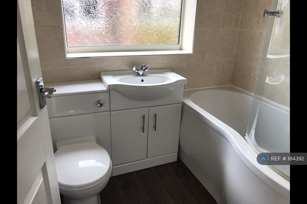
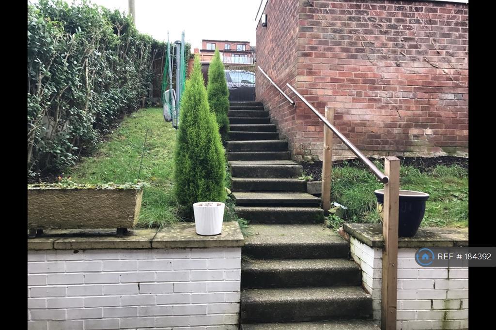
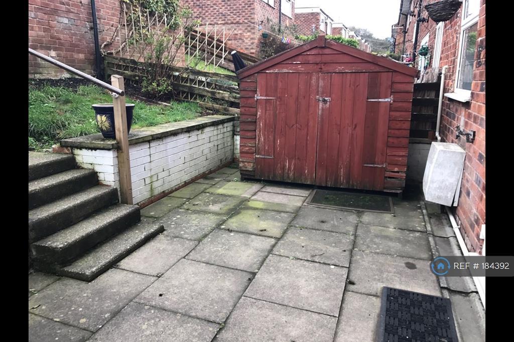
Photo 1 Photo 2 Photo 3 Photo 4 Photo 5 Photo 6 Photo 7 Photo 8 Photo 9 Photo 10
/ 10
Property details
Deprivation
Decile 10 (31,312 of 33,755)
Street crime
0 incidents within 1 mile (Apr 2026)
Key features
- No Agent Fees
- Property Reference Number: 184392
Additional details
- Parking
- Yes
- Garden
- Yes
Description
Three bedroom town house located in close distance to Stalybridge town centre and local amenities.
Inside you will find a through lounge to dining room. Fully fitted modern white kitchen. Three bedrooms and fully fitted three piece white suite in the bathroom.
Gardens to front and rear with garage for off road parking.
Summary & Exclusions:
- Rent Amount: £625.00 per month (£144.23 per week)
- Deposit / Bond: £725.00
- 3 Bedrooms
- 1 Bathrooms
- Property comes unfurnished
- Available to move in from 11 November, 2016
- Minimum tenancy term is 6 months
- Maximum number of tenants is 3
- DSS enquiries welcome
- No Students
- Pets considered / by arrangement
- Smokers considered
- Family Friendly
- Bills not included
- Property has parking
- Property has garden access
- EPC Rating: C
If calling, please quote reference: 184392
Fees:
You will not be charged any admin fees.
Referencing for tenants only costs £20 each, if requested by the landlord for this property.
Contact today to book a viewing and have the landlord show you round!
Request Details form responded to 24/7, with phone bookings available 9am-9pm, 7 days a week.
Listed by
London
Techbeard Ltd
Reference: 56924239
EPC ratings on this postcode
We don't have a matched EPC for this property yet. Below are efficiency scores and details for other addresses on this postcode.
| Address | Current | Potential | Floor area | Age band | Type |
|---|---|---|---|---|---|
| 1, Elm Tree Close, STALYBRIDGE | 62 | 79 | 74 m² | England and Wales: 1967-1975 | Terraced |
| 11 Elm Tree Close, STALYBRIDGE | 73 | 88 | 71 m² | England and Wales: 1967-1975 | Terraced |
| 14, Elm Tree Close, STALYBRIDGE | 47 | 87 | 75 m² | England and Wales: 1950-1966 | Terraced |
| 15, Elm Tree Close, STALYBRIDGE | 73 | 87 | 74 m² | England and Wales: 1967-1975 | Terraced |
| 16 Elm Tree Close, STALYBRIDGE | 63 | 80 | 74 m² | England and Wales: 1967-1975 | Terraced |
| 17, Elm Tree Close, STALYBRIDGE | 68 | 87 | 74 m² | England and Wales: 1976-1982 | Terraced |
| 20 Elm Tree Close, STALYBRIDGE | 79 | 81 | 73 m² | England and Wales: 1967-1975 | Terraced |
| 20, Elm Tree Close, STALYBRIDGE | 82 | 89 | 78 m² | England and Wales: 1967-1975 | Terraced |
| 24, Elm Tree Close, STALYBRIDGE | 82 | 88 | 78 m² | England and Wales: 1950-1966 | Terraced |
| 25 Elm Tree Close, STALYBRIDGE | 71 | 77 | 84 m² | England and Wales: 1967-1975 | Terraced |
| 3, Elm Tree Close, STALYBRIDGE | 60 | 88 | 74 m² | England and Wales: 1976-1982 | Terraced |
| 31, Elm Tree Close, STALYBRIDGE | 65 | 85 | 73 m² | England and Wales: 1967-1975 | Terraced |
| 38, Elm Tree Close, STALYBRIDGE | 72 | 85 | 71 m² | England and Wales: 1967-1975 | Terraced |
| 39 Elm Tree Close, STALYBRIDGE | 76 | 89 | 73 m² | England and Wales: 1950-1966 | Terraced |
| 39, Elm Tree Close, STALYBRIDGE | 66 | 89 | 72 m² | England and Wales: 1950-1966 | Terraced |
Flood risk
Zone: 1
Risk: Low
Job (default Low)
Rental Range
Estimated market rent for Tameside. Low = conservative, Realistic = average, Optimistic = best case.
Based on Local Authority from postcode lookup → Tameside.
LHA (30th percentile) floor for Oldham & Rochdale: £693/mo (Apr 2025 – Mar 2026)
Location
Address
Elm Tree Close
Nearby
Nearest stations, universities and amenities (distance from property).
| Type | Name | Distance |
|---|---|---|
| Bus stop | High Street/The Pineapple | 0.3 miles |
| Bus stop | High Street/Forester Drive | 0.3 miles |
| Shop | Unknown | 0.3 miles |
| Shop | Finlays News | 0.3 miles |
| Train station | Stalybridge | 0.6 miles |
| Hospital | Tameside General Hospital | 1.3 miles |
| Train station | Flowery Field | 1.5 miles |
| Hospital | Park Lodge Independent Hospital | 4.3 miles |
| University | UK Management College | 4.5 miles |
| University | University of Manchester Fallowfield Campus | 6.9 miles |
Street-level crime
| Category | Count |
|---|---|
| Total incidents | 0 |
Within 1 mile during Apr 2026. Source: data.police.uk (England & Wales).
Schools nearby
Nearest open schools with Ofsted ratings (England). Closed schools are not shown. Data from Get Information about Schools and Ofsted.
| Name | Type | Distance | Ofsted |
|---|---|---|---|
| St. Peter's Catholic Primary School, a Voluntary Academy | Primary | 0.2 miles | Good — 24 Jan 2024 |
| Gorse Hall Primary and Nursery School | Primary | 0.3 miles | Good — 17 Sep 2023 |
| Trinity School | Other | 0.4 miles | — (No rating) |
| Broadbent Fold Primary School and Nursery | Primary | 0.4 miles | Good — 27 Oct 2012 |
| St Paul's CofE Primary School, Stalybridge | Primary | 0.7 miles | Good — 27 Feb 2020 |
Rental Comparables
Residential lets from OpenRent and Rightmove for the area (same bedroom count). Use to validate rent estimates. Student lets are excluded.
| Title | Rent | Beds | Distance | As seen on |
|---|---|---|---|---|
| 3 Bed Semi-Detached House, Forester Drive, SK15 | £1,250/mo | 3 | 0.15 miles | OpenRent |
Average rent: £1,250/mo (1 listing)
Enter House Number
Enter the house number to help us retrieve more accurate pricing history and property data.
Please log in to submit or correct the house number for this listing.
Log in to continue