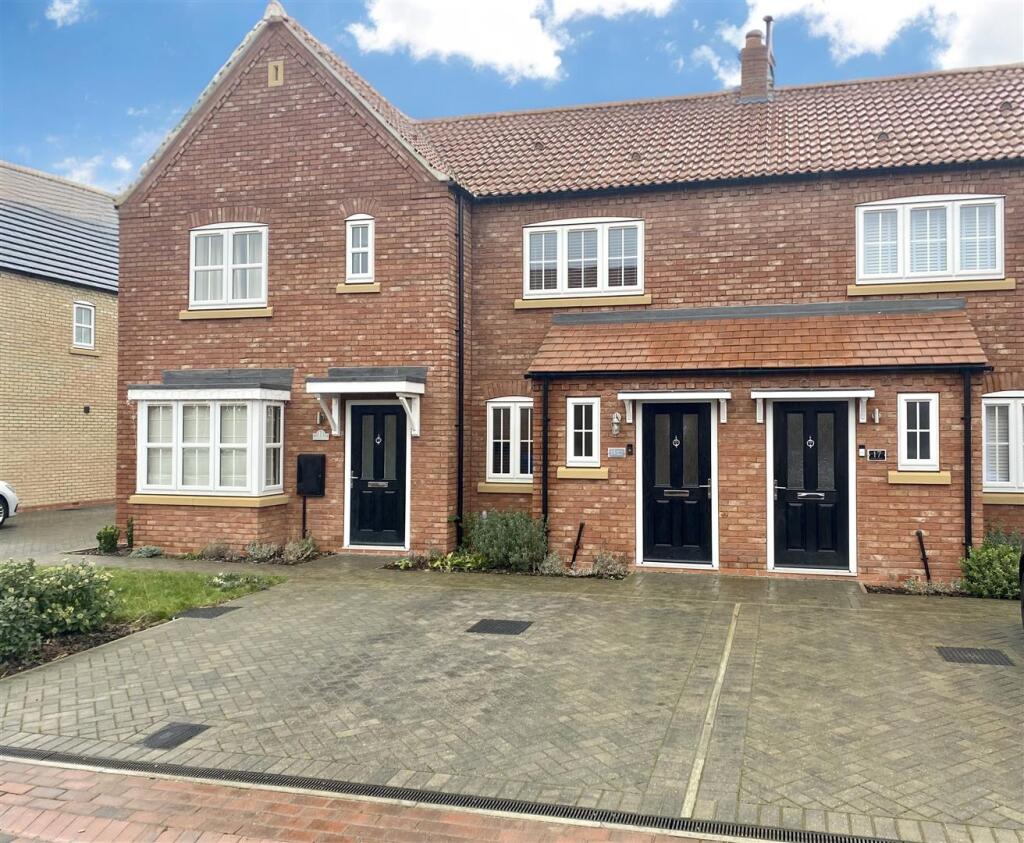
Jeeves Drive
The Greenways, Goole, DN14 6FP
£875 pcm
Property details
Council tax band
B
Deprivation
Decile 6 (18,291 of 33,755)
Street crime
62 incidents within 1 mile (Apr 2026)
Key features
- Sought-after development
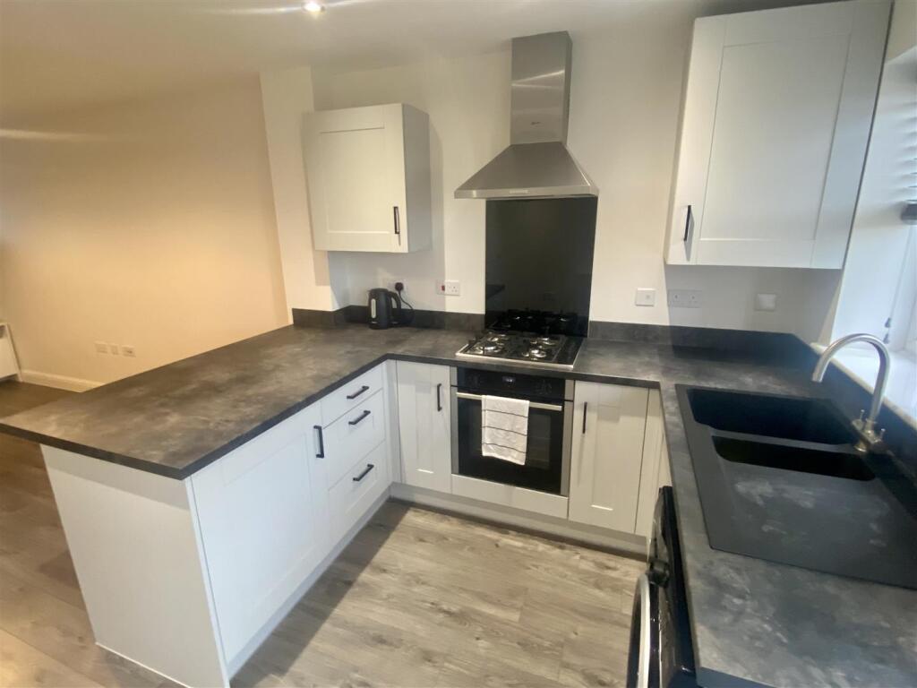
- Superb kitchen with white goods
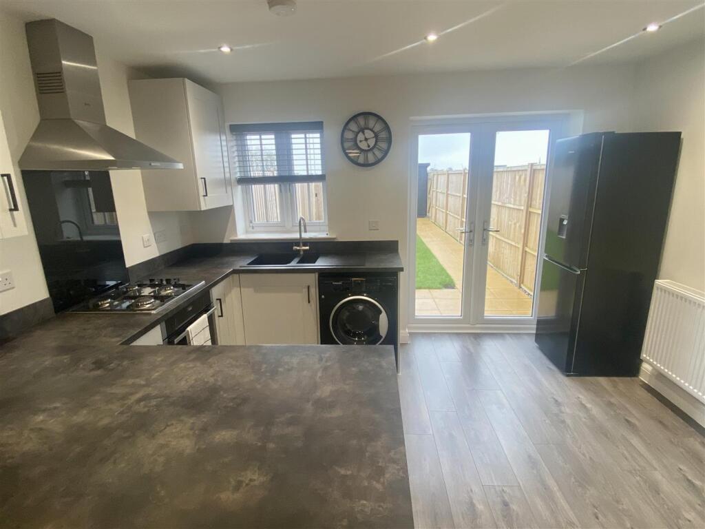
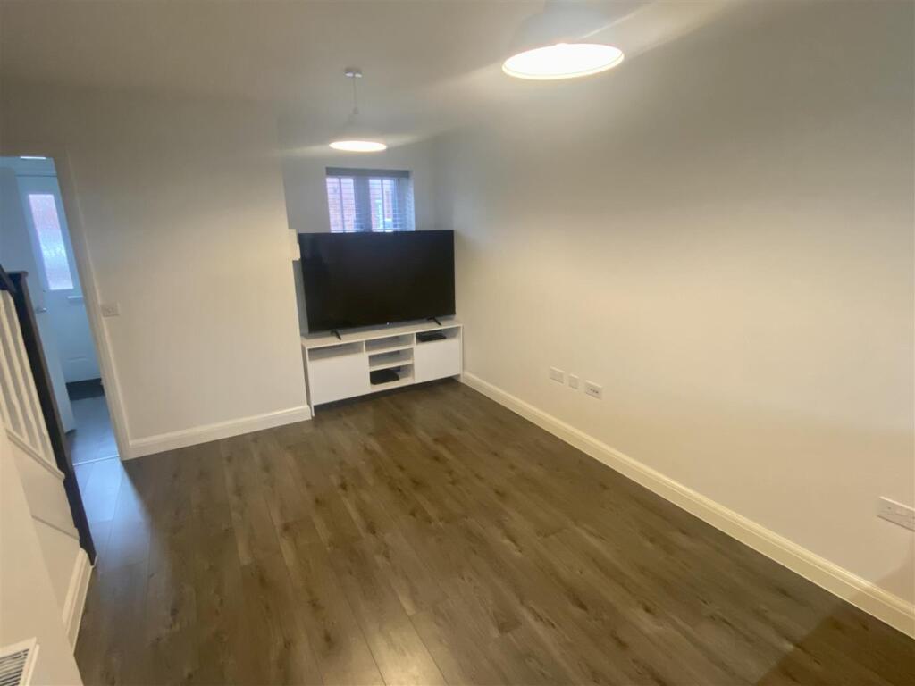
- Open plan layout
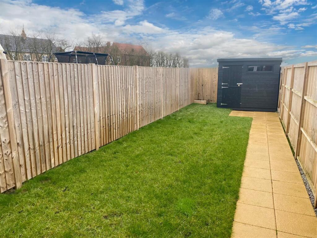
- Enclosed rear garden with shed
- Driveway parking for two vehicles
- Available immediately
Additional details
- Electricity
- Mains supply
- Water
- Mains supply
- Sewerage
- Mains supply
- Heating
- Gas central
- Parking
- Driveway
- Garden
- Yes
- Listed property
- No
- Restrictions
- Yes
- Required access
- No
- Rights of way
- No
- Flooded in last 5 years
- No
- Flood defences
- No
Description
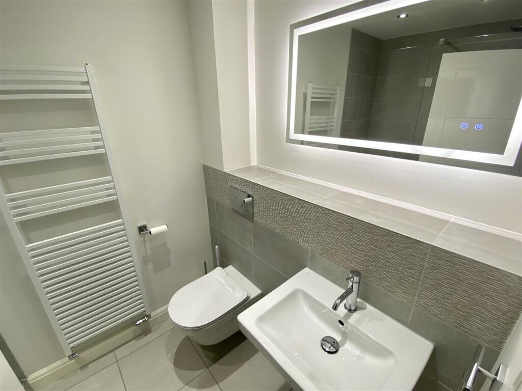
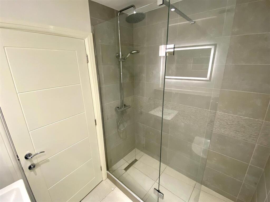
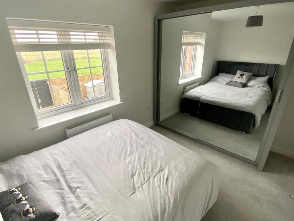
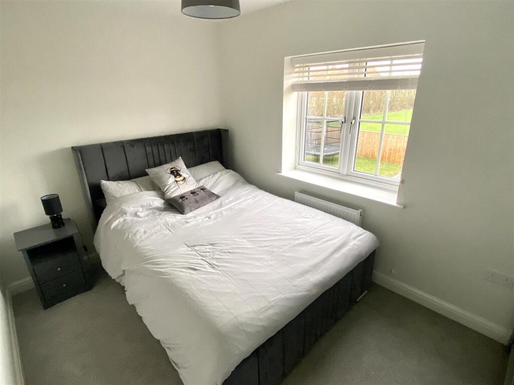
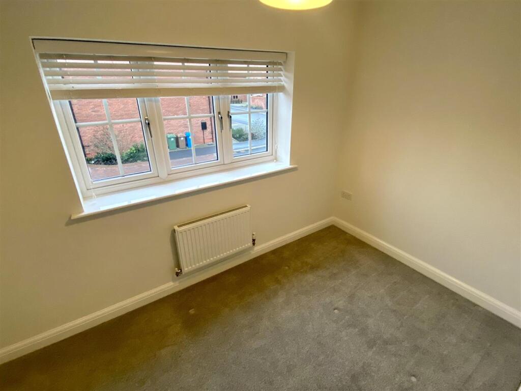
The property briefly comprises; entrance hall, downstairs WC, good size open plan lounge through to kitchen with integrated NEFF oven, gas hob and extractor hood. Hotpoint washing machine and freestanding Hisense fridge freezer. Under stairs storage cupboard. Double French doors lead to the rear garden. Two double bedrooms to the first floor, the rear with fitted wardrobes and the front with storage cupboard. Stylish bathroom with shower enclosure, white floating wash basin and Villeroy & Boch WC.
Herringbone brick blocked drive to the front, with space for two vehicles. Flagged patio to the rear with lawn, storage shed and side access gate.
A holding deposit of £201.00 is payable on application.
Listed by
covering East Yorkshire
Matrix Consultancy (UK) Limited
Reference: 156806528
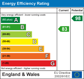
EPC ratings on this postcode
We don't have a matched EPC for this property yet. Below are efficiency scores and details for other addresses on this postcode.
| Address | Current | Potential | Floor area | Age band | Type |
|---|---|---|---|---|---|
| 1, Jeeves Drive, GOOLE | 83 | 93 | 99 m² | — | Detached |
| 1, Jeeves Drive, GOOLE | 83 | 95 | 81 m² | — | Terraced |
| 10, Jeeves Drive, GOOLE | 82 | 94 | 86 m² | — | Detached |
| 11, Jeeves Drive, GOOLE | 84 | 95 | 83 m² | — | Terraced |
| 12, Jeeves Drive, GOOLE | 83 | 95 | 81 m² | — | Terraced |
| 14, Jeeves Drive, GOOLE | 85 | 96 | 81 m² | — | Terraced |
| 16, Jeeves Drive, GOOLE | 85 | 96 | 81 m² | — | Terraced |
| 18, Jeeves Drive, GOOLE | 83 | 95 | 81 m² | — | Terraced |
| 19, Jeeves Drive, GOOLE | 84 | 95 | 83 m² | — | Terraced |
| 2, Jeeves Drive, GOOLE | 83 | 93 | 99 m² | — | Detached |
| 20, Jeeves Drive, GOOLE | 83 | 95 | 81 m² | — | Detached |
| 22, Jeeves Drive, GOOLE | 83 | 95 | 81 m² | — | Detached |
| 24, Jeeves Drive, GOOLE | 84 | 96 | 83 m² | — | Terraced |
| 26, Jeeves Drive, GOOLE | 84 | 96 | 83 m² | — | Terraced |
| 28, Jeeves Drive, GOOLE | 83 | 95 | 81 m² | — | Detached |
Flood risk
Zone: 1
Risk: Low
Job (default Low)
EPC Graphs
EE Rating
Rental Range
Estimated market rent for East Riding of Yorkshire. Low = conservative, Realistic = average, Optimistic = best case.
Based on Local Authority from postcode lookup → East Riding of Yorkshire.
LHA (30th percentile) floor for York: £773/mo (Apr 2025 – Mar 2026)
Location
Address
Jeeves Drive
Nearby
Nearest stations, universities and amenities (distance from property).
| Type | Name | Distance |
|---|---|---|
| Bus stop | Goole Rawcliffe Road | 0.2 miles |
| Shop | Toolstation | 0.2 miles |
| Shop | Screwfix | 0.2 miles |
| Train station | Goole | 1.1 miles |
| Hospital | Goole and District Hospital | 1.2 miles |
| Train station | Rawcliffe | 2.8 miles |
| Hospital | Selby New War Memorial Hospital | 8.8 miles |
Street-level crime
| Category | Count |
|---|---|
| Violence and sexual offences | 14 |
| Other theft | 10 |
| Shoplifting | 10 |
| Criminal damage and arson | 9 |
| Anti-social behaviour | 5 |
| Other crime | 4 |
| Public order | 4 |
| Robbery | 2 |
| Vehicle crime | 2 |
| Burglary | 1 |
| Possession of weapons | 1 |
| Total incidents | 62 |
Within 1 mile during Apr 2026. Source: data.police.uk (England & Wales).
Schools nearby
Nearest open schools with Ofsted ratings (England). Closed schools are not shown. Data from Get Information about Schools and Ofsted.
| Name | Type | Distance | Ofsted |
|---|---|---|---|
| Boothferry Primary School | Primary | 0.7 miles | Good — 3 Jul 2024 |
| Goole Academy | Secondary | 0.7 miles | Good — 10 Nov 2022 |
| Parkside Primary School | Primary | 0.8 miles | Good — 23 Jun 2020 |
| Airmyn Park Primary School | Primary | 0.9 miles | Good — 12 Sep 2013 |
| St Joseph's Catholic Primary School | Primary | 1.2 miles | Good — 9 Feb 2020 |
Rental Comparables
Residential lets from OpenRent and Rightmove for the area (same bedroom count). Use to validate rent estimates. Student lets are excluded.
| Title | Rent | Beds | Distance | As seen on |
|---|---|---|---|---|
| 2 Bed Terraced House, Milton Street, DN14 | £675/mo | 2 | 0.83 miles | OpenRent |
| 2 Bed Terraced House, Parliament Street, DN14 | £725/mo | 2 | 0.84 miles | OpenRent |
| 2 Bed Terraced House, Gordon Street, DN14 | £625/mo | 2 | 0.95 miles | OpenRent |
| 2 Bed Flat, Pasture Road, DN14 | £600/mo | 2 | 1.03 miles | OpenRent |
| 2 Bed Flat, Pasture Road, DN14 | £600/mo | 2 | 1.03 miles | OpenRent |
Average rent: £645/mo (5 listings)
Enter House Number
Enter the house number to help us retrieve more accurate pricing history and property data.
Please log in to submit or correct the house number for this listing.
Log in to continue