WA15 9EA
WA15 9EA
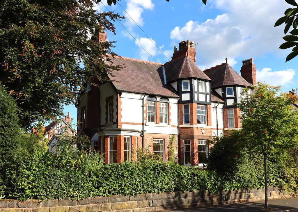
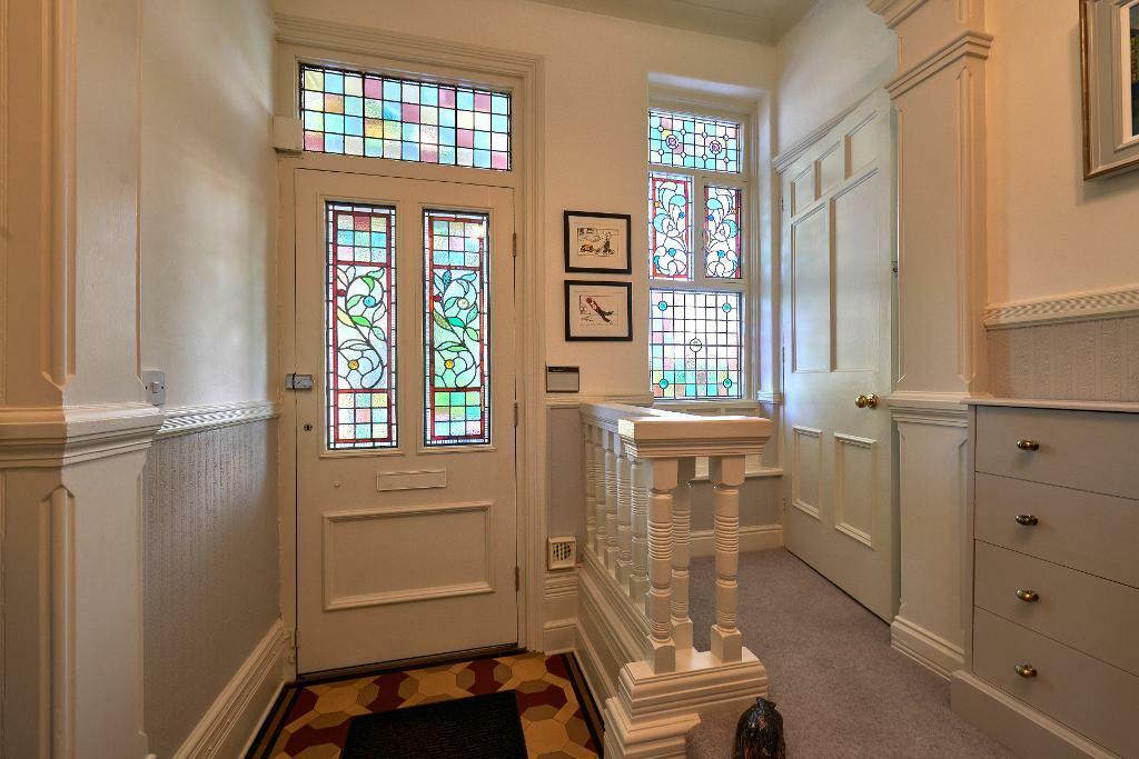
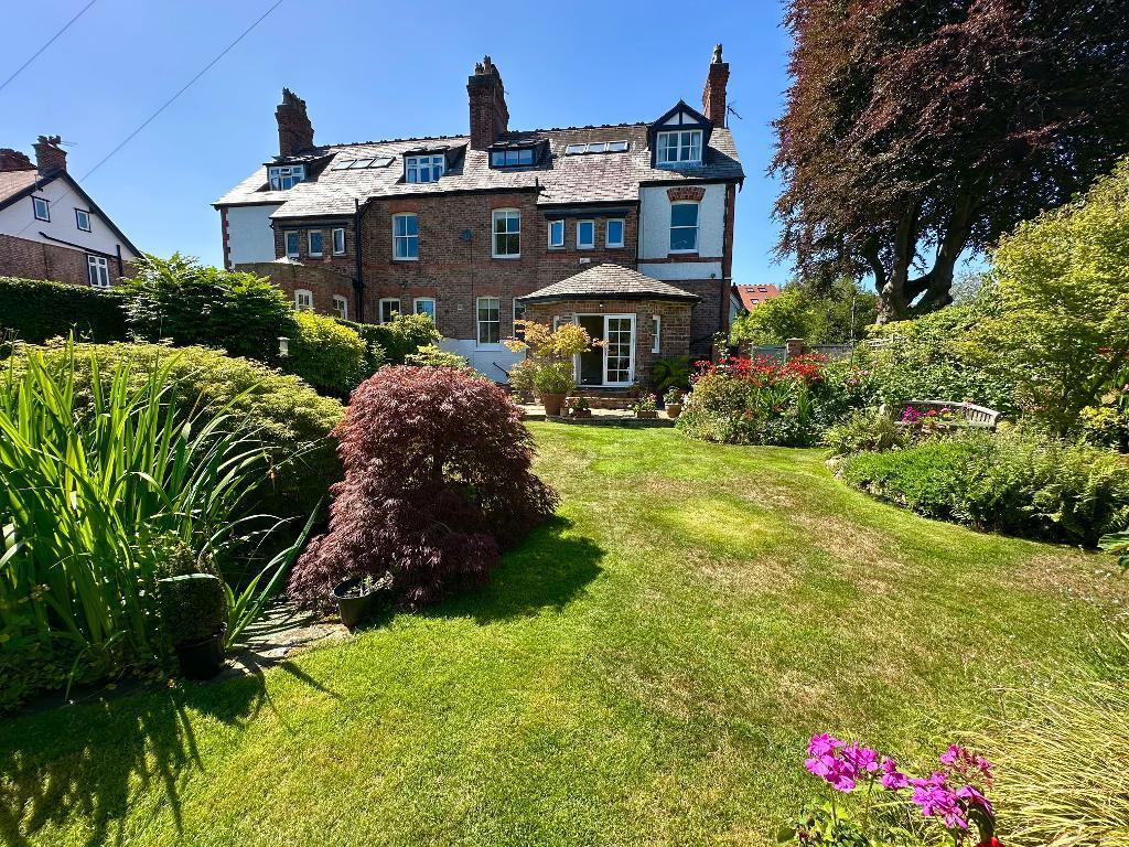
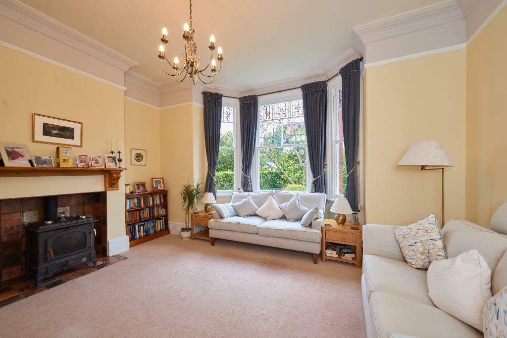
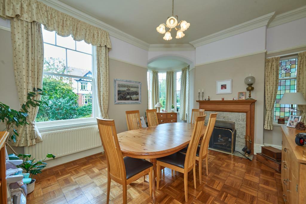
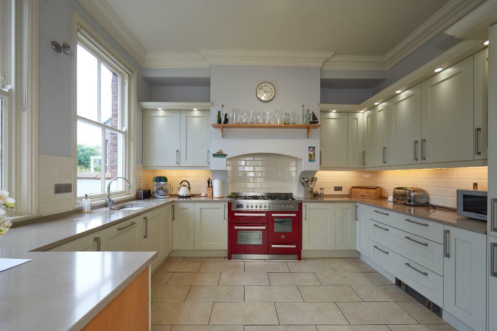
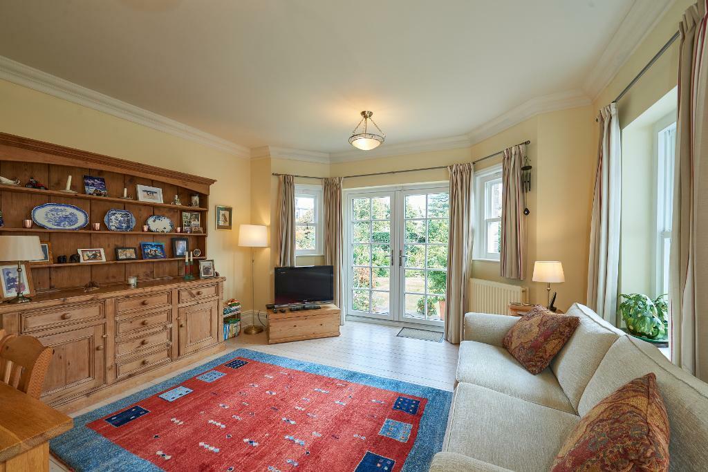
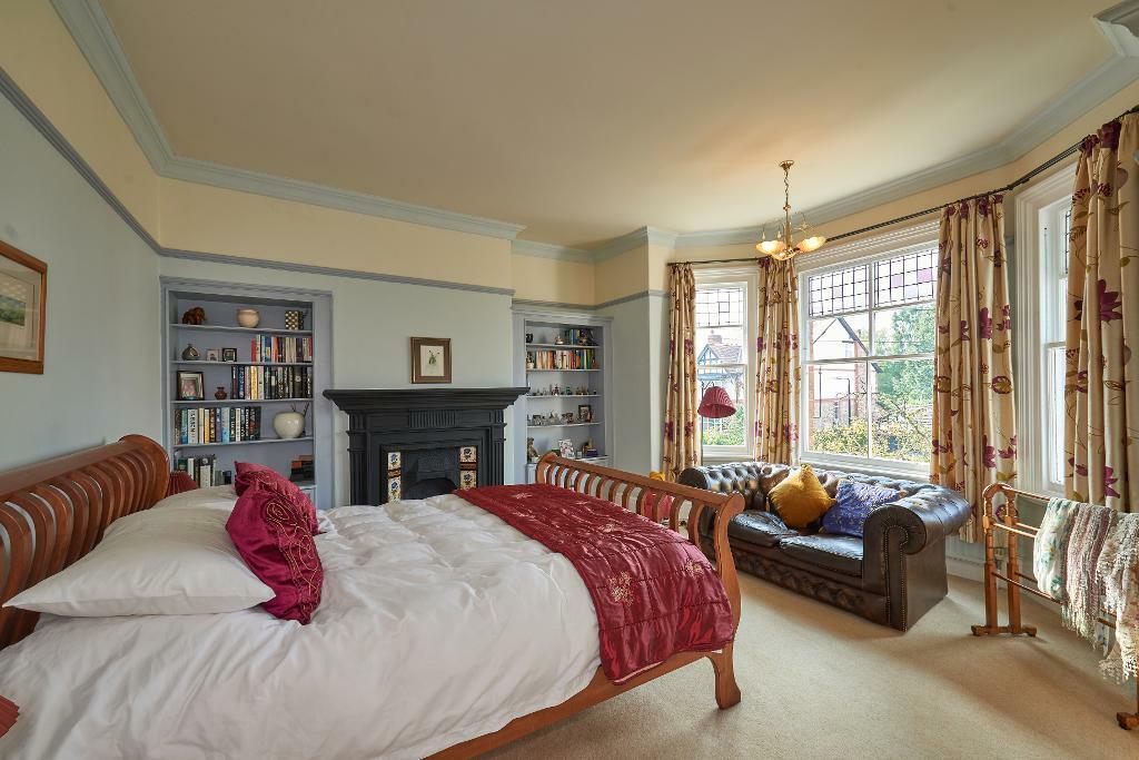
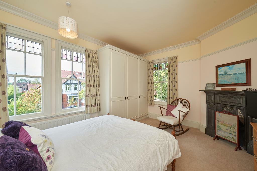
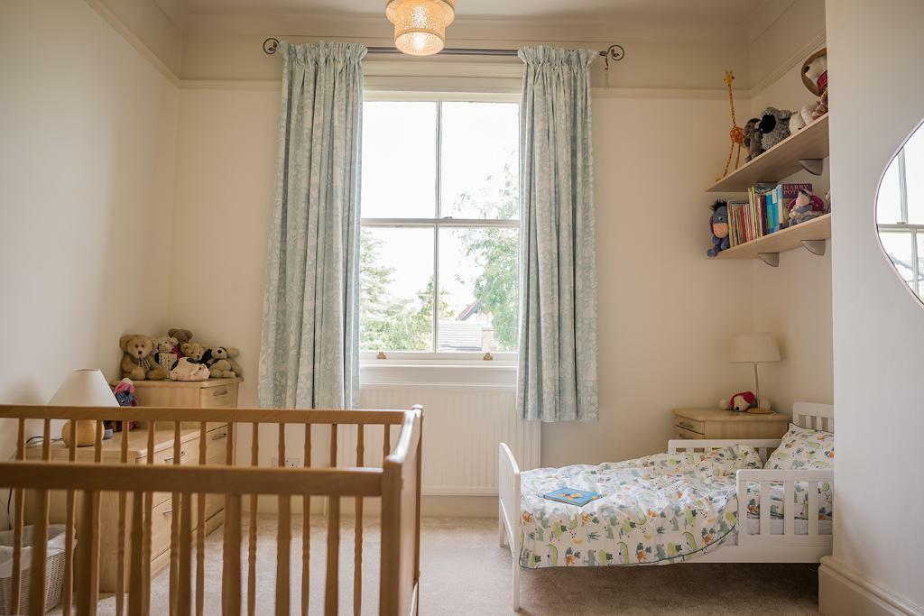
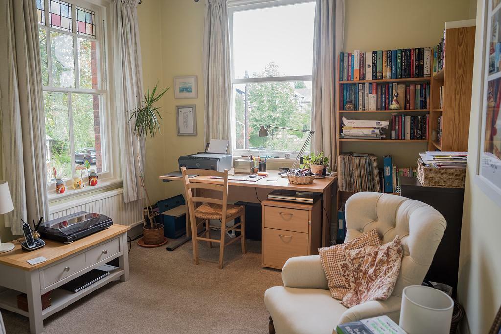
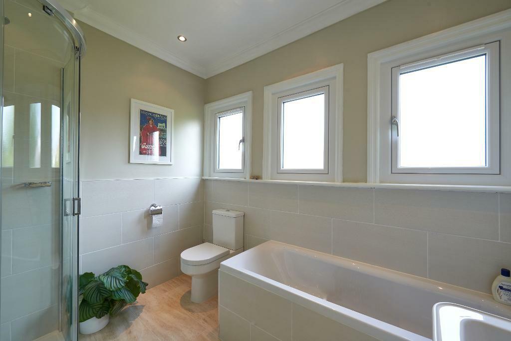
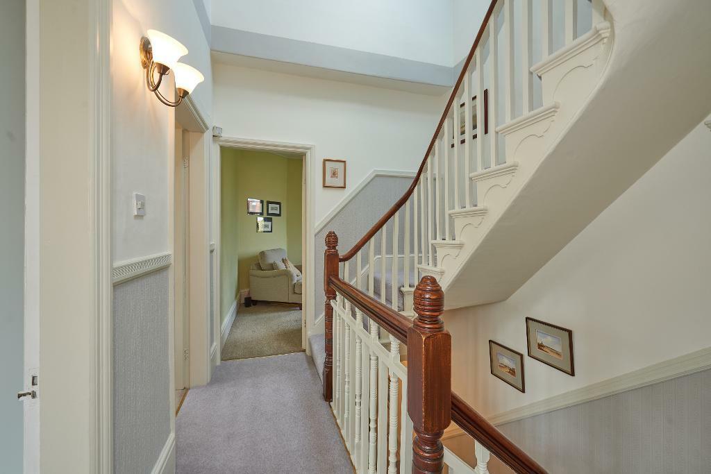
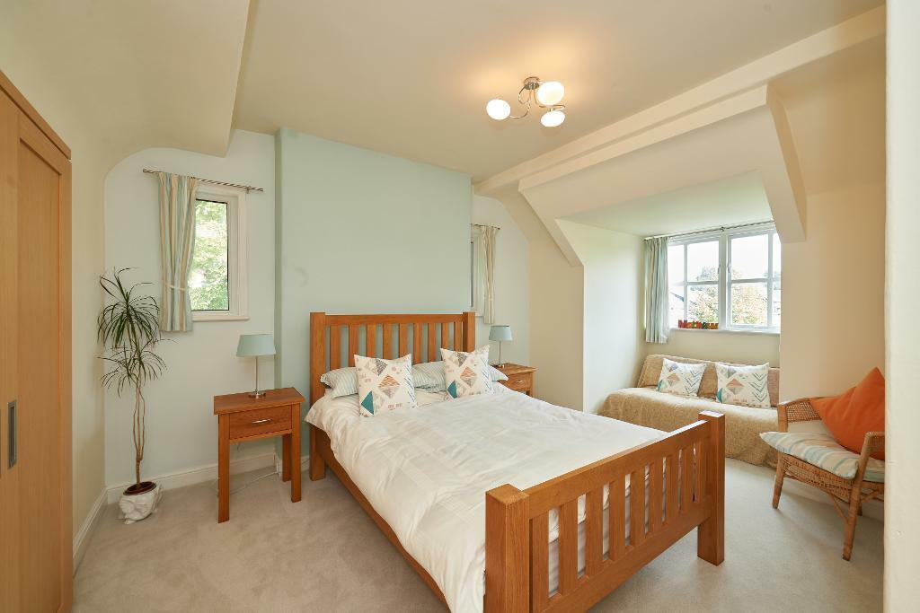
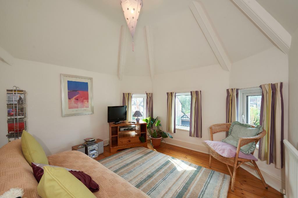
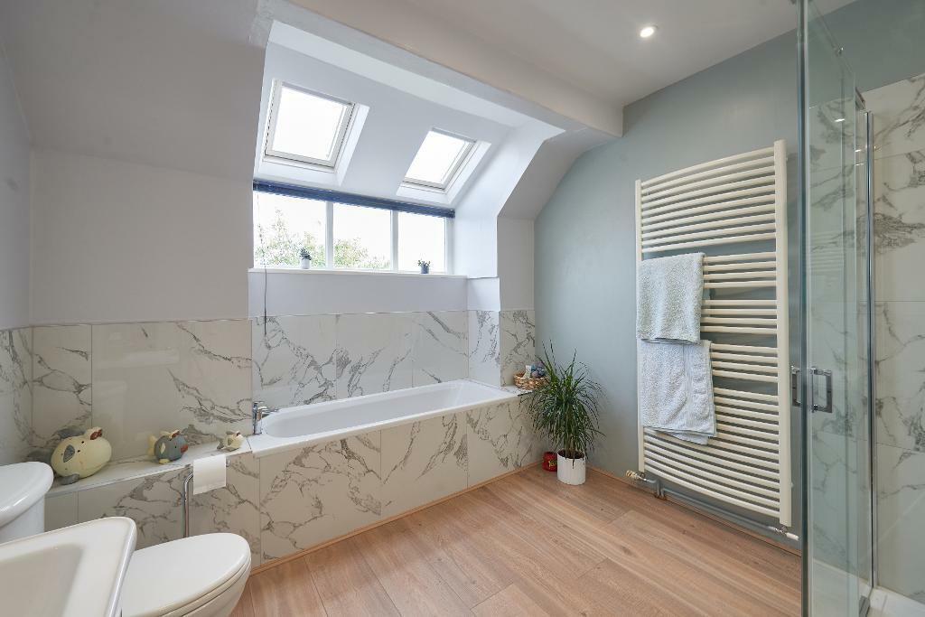
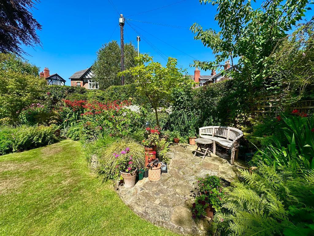
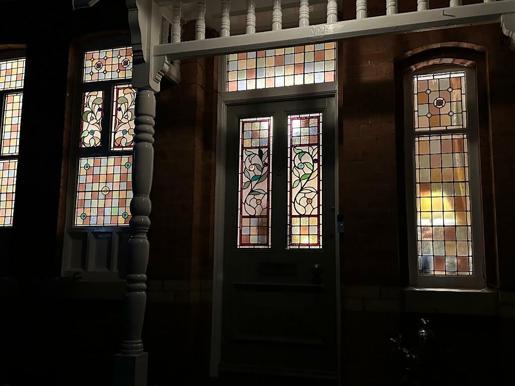
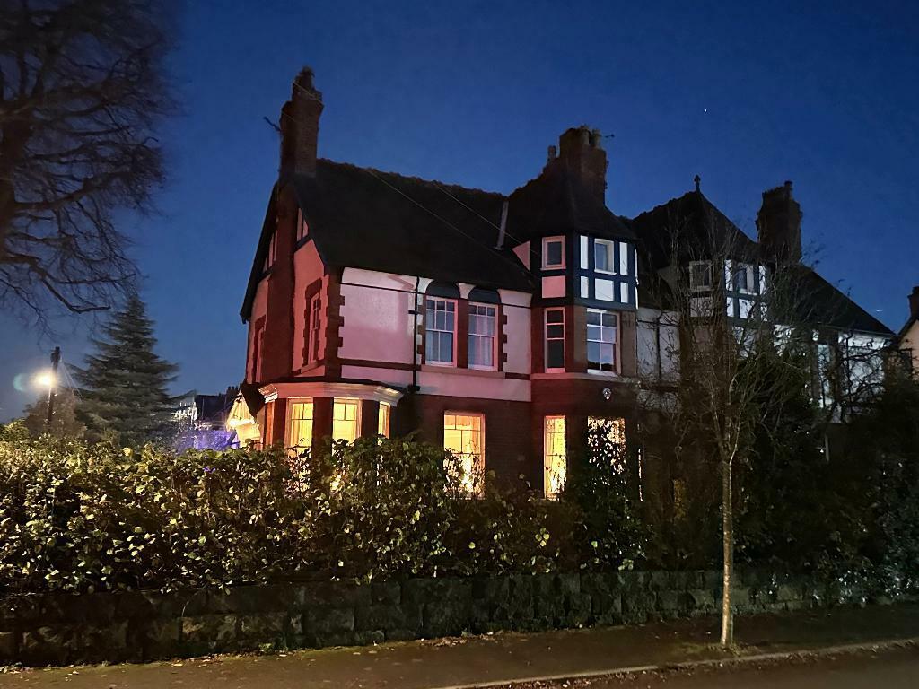
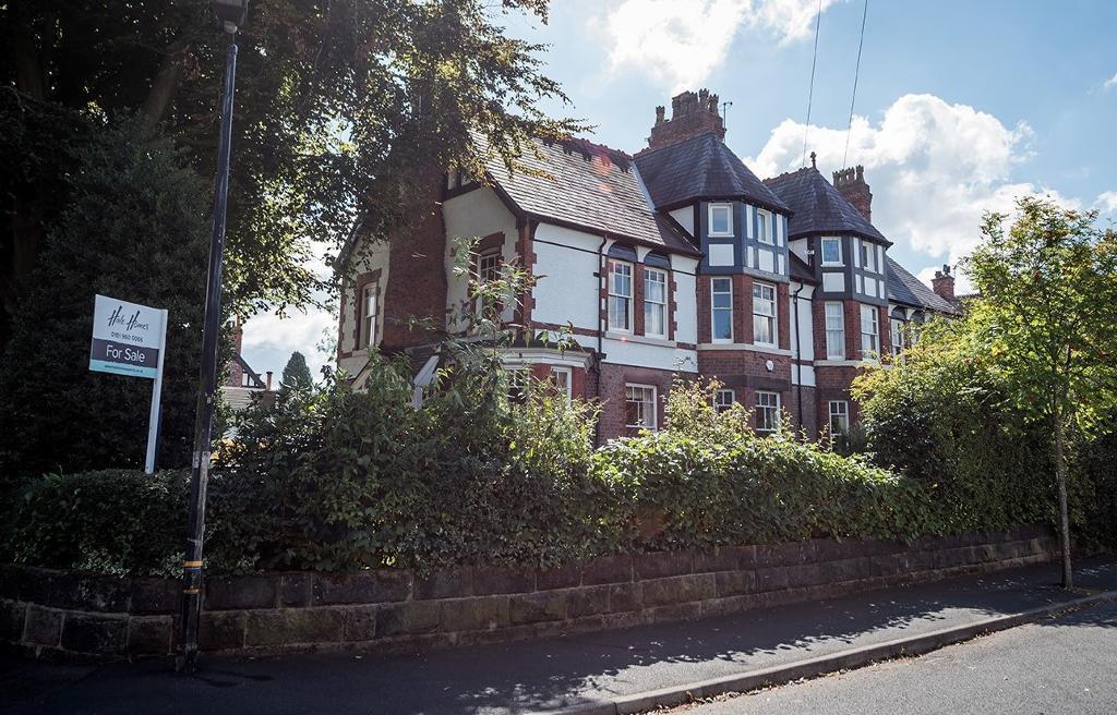
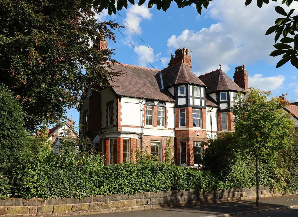
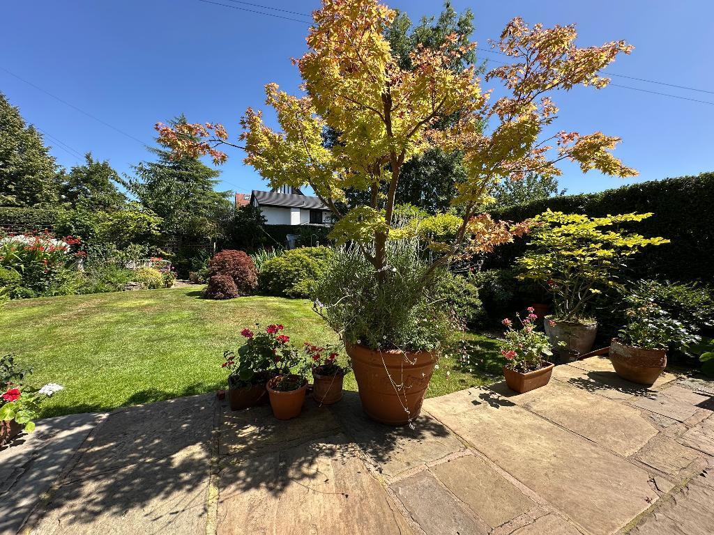
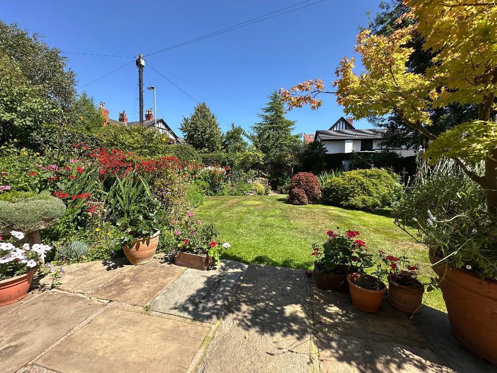
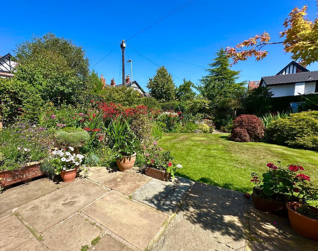
Photo 1 Entrance Hallway Photo 3 Drawing Room Dining Room Kitchen Breakfast Room Principal Bedroom Bedroom 2 Bedroom 3 Bedroom 4/Study Family Bathroom Landing Bedroom 5 Bedroom 6 Bath /Shower Room Photo 17 Photo 18 Photo 19 Photo 20 Photo 21 Photo 22 Photo 23 Photo 24
/ 24
Property details
Tenure
FREEHOLD
Floor area
142 m²
Council tax band
G
Deprivation
Decile 10 (32,077 of 33,755)
EPC Rating & Upgrade Cost
Fetching EPC data… Refresh this page in a moment.
Flood risk
Zone: 1
Risk: Low
Not in Flood Risk Area (no data)
Floorplans
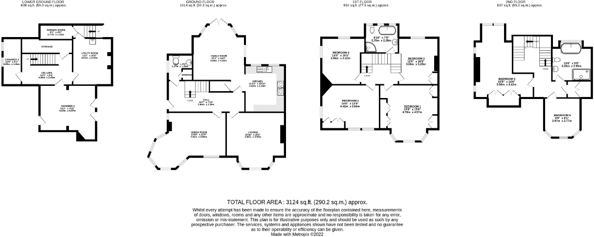
Floor Plan
EPC Graphs

EPC 1
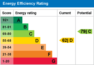
EPC 2
Price history
No sales history found for this property in Land Registry Price Paid data.
Sold Comparables
Same street and nearby sales within 0.25 miles (last 5 years). Data from Land Registry Price Paid.
| Address | Price | Date | Type |
|---|---|---|---|
| 2 WARWICK DRIVE, HALE, ALTRINCHAM, TRAFFORD, GREATER MANCHESTER, WA15 9EA | £1,400,000 | 23/01/2026 | Detached |
| 5 WARWICK DRIVE, HALE, ALTRINCHAM, TRAFFORD, GREATER MANCHESTER, WA15 9EA | £1,575,000 | 16/09/2022 | Semi-detached |
| LANGHAM HOUSE WARWICK DRIVE, HALE, ALTRINCHAM, TRAFFORD, GREATER MANCHESTER, WA15 9EA | £1,507,500 | 23/08/2022 | Detached |
| 3 WARWICK DRIVE, HALE, ALTRINCHAM, TRAFFORD, GREATER MANCHESTER, WA15 9EA | £1,650,000 | 29/04/2022 | Detached |
| 11 WARWICK DRIVE, HALE, ALTRINCHAM, TRAFFORD, GREATER MANCHESTER, WA15 9EA | £1,755,000 | 01/04/2022 | Semi-detached |
Area average: £1,577,500 (5 sales)
Capital growth trend
Land Registry outcode average: last 12 months vs 5y and 10y ago (from sold prices).
House Price Index (HM Land Registry — official index, not sold-price averages): Trafford. Series: All dwelling types. As of March 2026.
Rental Range
Estimated market rent for Trafford. Low = conservative, Realistic = average, Optimistic = best case.
Based on Local Authority from postcode lookup → Trafford.
LHA (30th percentile) floor for North Cumbria: £738/mo (Apr 2025 – Mar 2026)
Location
Nearby
Nearest stations, universities and amenities (distance from property).
| Type | Name | Distance |
|---|---|---|
| Bus stop | Ashley Heath, Ashley Road / near Park Road | 0.2 miles |
| Bus stop | Ashley Heath, Park Road / opposite Arthog Road | 0.2 miles |
| Shop | Tesco Express | 0.3 miles |
| Shop | Hill's Bakery | 0.3 miles |
| Train station | Hale | 0.5 miles |
| Hospital | The Priory Hospital Altrincham | 0.7 miles |
| Hospital | Altrincham Hospital | 1.0 miles |
| Train station | Altrincham | 1.1 miles |
| University | University Academy 92 | 6.3 miles |
| University | University of Manchester | 7.1 miles |
Street-level crime
Crime data is not yet available for this property.
Rental Comparables
Loading rental comparables for this postcode. Refresh in a few minutes.