Elliott Street
Newcastle-under-Lyme, ST5, ST5 1JL
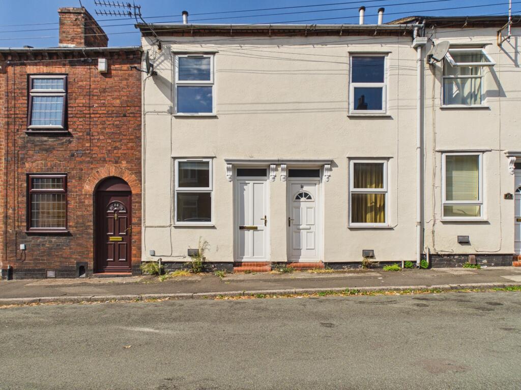
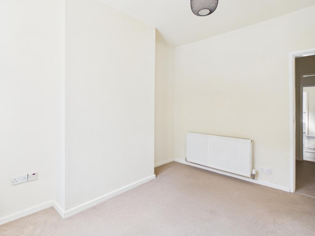
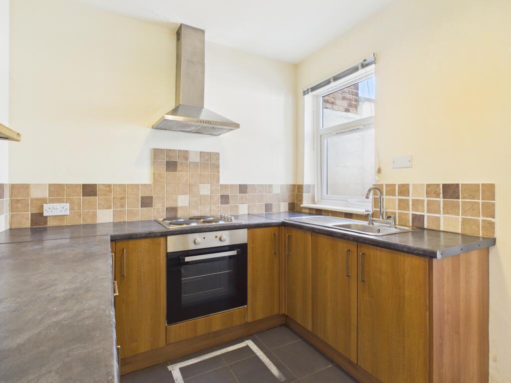
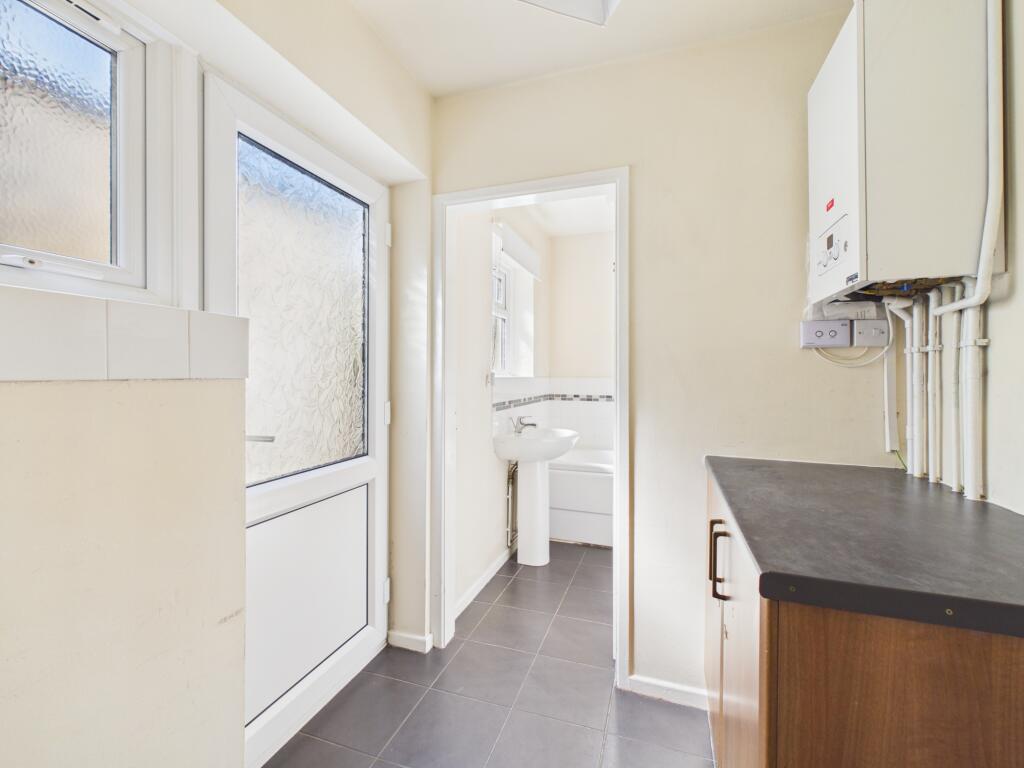
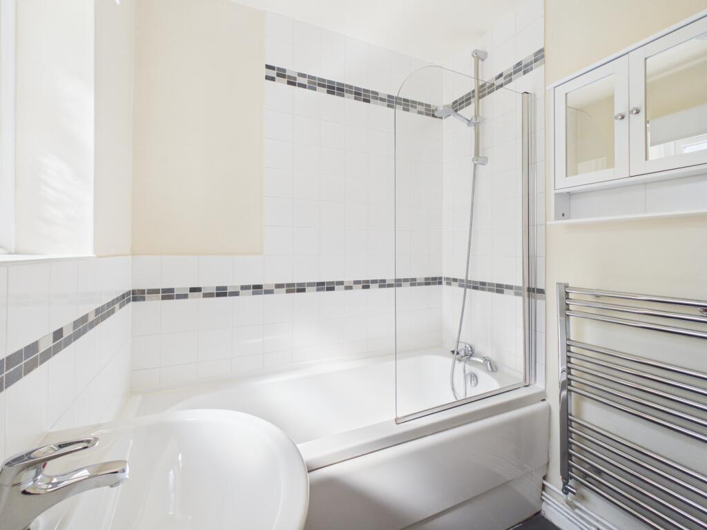
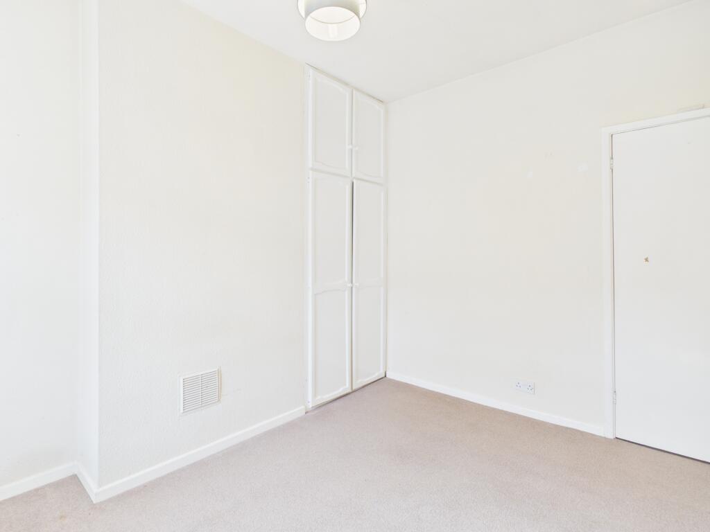
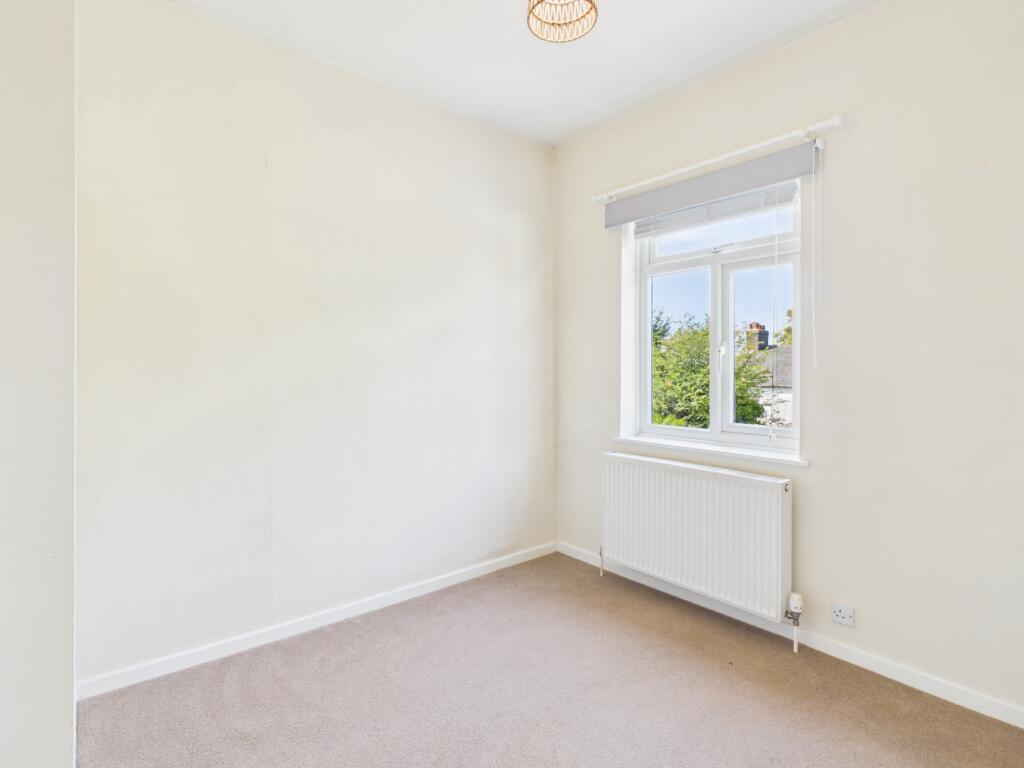
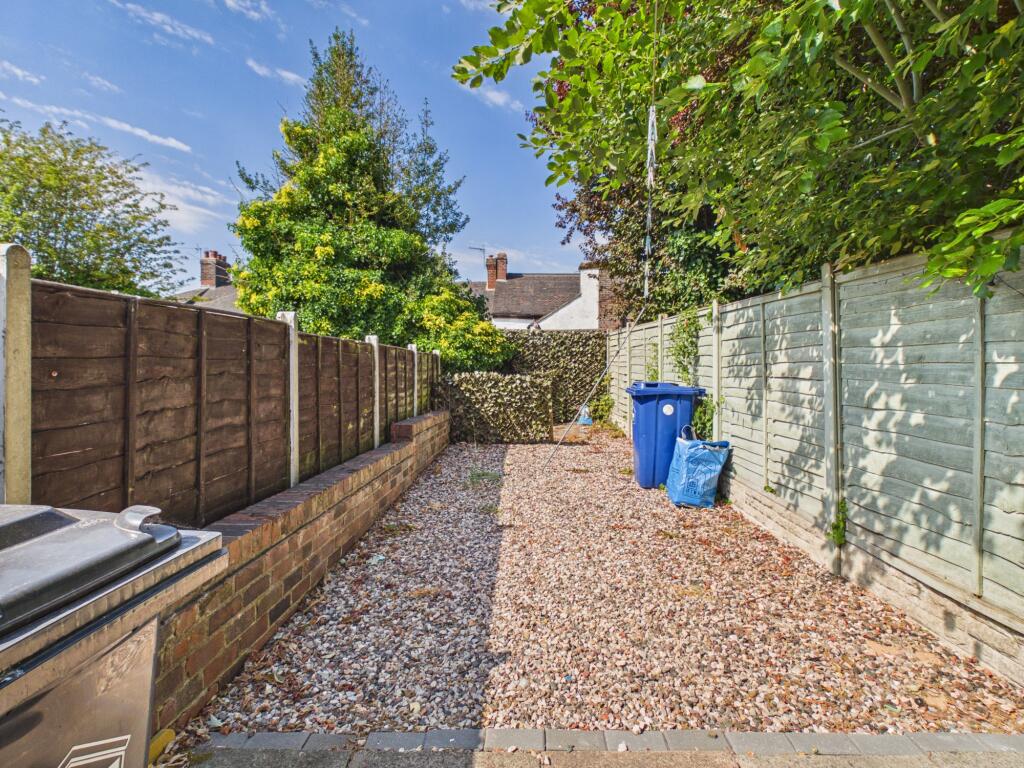
Photo 1 Photo 2 Photo 3 Photo 4 Photo 5 Photo 6 Photo 7 Photo 8
/ 8
Property details
Council tax band
A
Deprivation
Decile 3 (9,427 of 33,755)
Street crime
424 incidents within 1 mile (Aug 2026)
Additional details
- Parking
- On street
- Garden
- Private garden
- Listed property
- No
Description
Local area
Newcastle-under-Lyme in Staffordshire is a popular location known for its diverse amenities and its accessibility to local services and facilities. The area provides a selection of shops, restaurants, and leisure opportunities in addition to reliable transport links to neighbouring towns and cities, making it an appealing base for residents seeking convenience in a well-connected setting. EPC rating: D.
Listed by
Stoke-on-Trent
The Property Franchise Group
Reference: 92067795
EPC ratings on this postcode
We don't have a matched EPC for this property yet. Below are efficiency scores and details for other addresses on this postcode.
| Address | Current | Potential | Floor area | Age band | Type |
|---|---|---|---|---|---|
| 1, Elliott Street, NEWCASTLE | 59 | 86 | 80 m² | England and Wales: 1900-1929 | Terraced |
| 10 Elliott Street, NEWCASTLE | 69 | 86 | 112 m² | England and Wales: 1900-1929 | Terraced |
| 10 ELLIOTT STREET, NEWCASTLE UNDER LYME, NEWCASTLE UNDER LYME | 71 | 86 | 113 m² | England and Wales: 1900-1929 | Terraced |
| 11 Elliott Street, NEWCASTLE | 63 | 78 | 59 m² | England and Wales: 1900-1929 | Terraced |
| 14 Elliott Street, NEWCASTLE | 67 | 86 | 94 m² | England and Wales: 1900-1929 | Terraced |
| 15 Elliott Street | 72 | 89 | 57 m² | England and Wales: before 1900 | House |
| 15 Elliott Street, NEWCASTLE | 72 | 89 | 57 m² | England and Wales: before 1900 | Terraced |
| 15 Elliott Street, NEWCASTLE | 62 | 87 | 59 m² | England and Wales: before 1900 | Terraced |
| 19 Elliott Street, NEWCASTLE | 69 | 85 | 53 m² | England and Wales: before 1900 | Terraced |
| 21 Elliott Street, NEWCASTLE | 72 | 89 | 56 m² | England and Wales: before 1900 | Terraced |
| 22 Elliott Street, NEWCASTLE | 70 | 81 | 66 m² | England and Wales: 1900-1929 | Terraced |
| 24 Elliott Street, NEWCASTLE | 62 | 81 | 64 m² | England and Wales: before 1900 | Terraced |
| 26, Elliott Street, NEWCASTLE | 61 | 80 | 64 m² | England and Wales: before 1900 | Terraced |
| 28 Elliott Street, NEWCASTLE | 43 | 84 | 57 m² | England and Wales: before 1900 | Terraced |
| 3 Elliott Street, NEWCASTLE | 60 | 85 | 64 m² | England and Wales: before 1900 | Terraced |
Flood risk
Zone: 1
Risk: Low
Job (default Low)
Registered land (INSPIRE)
This location falls inside an HM Land Registry INSPIRE registered freehold polygon.
Plot: ~98 m² (0.02 acres)
Source: HM Land Registry INSPIRE Index Polygons.
Floorplans
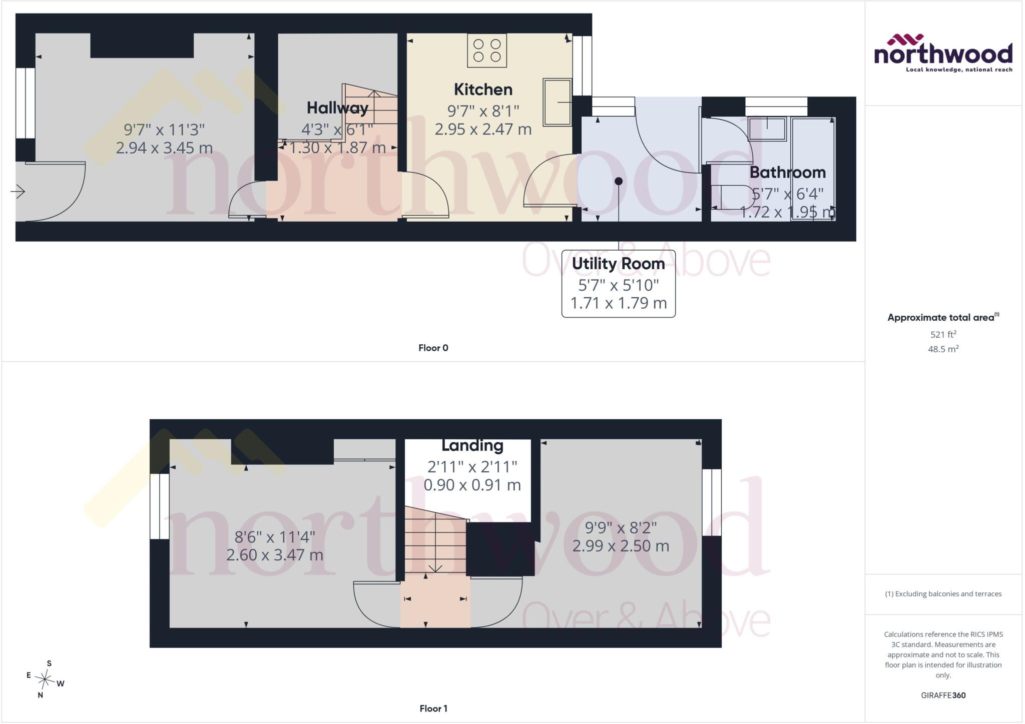
Floorplan
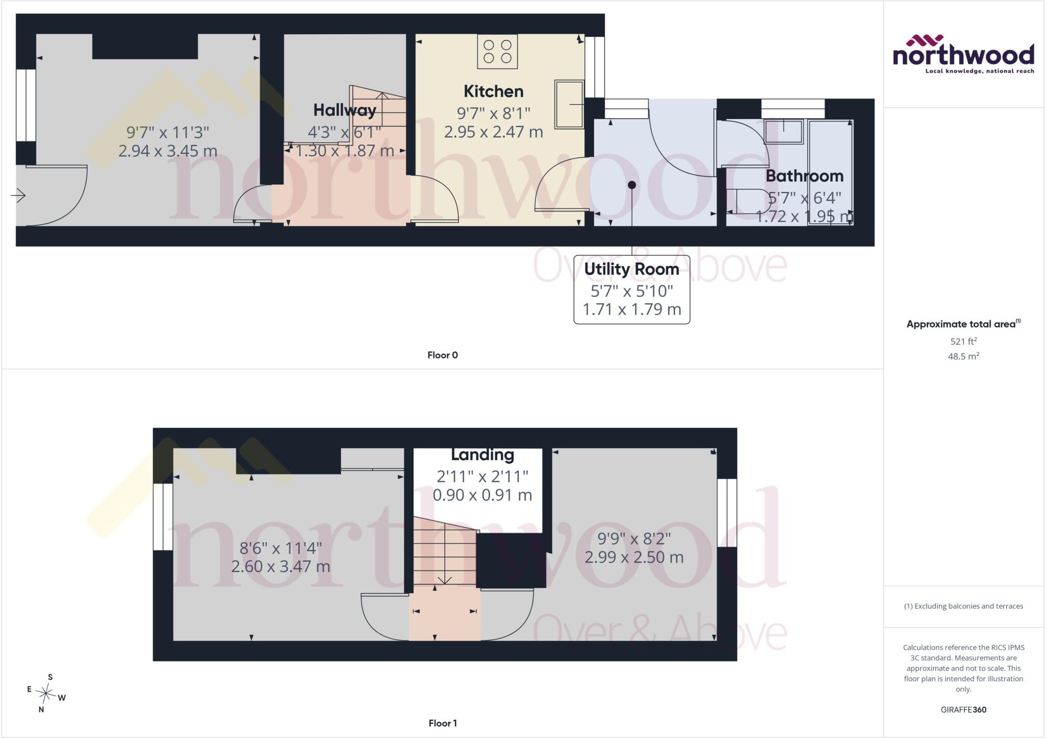
Floorplan
EPC Graphs

EPC Certificate
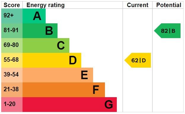
EPC Graph
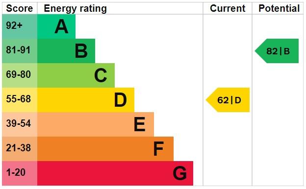
EPC Graph
Rental Range
Estimated market rent for Newcastle-under-Lyme. Low = conservative, Realistic = average, Optimistic = best case.
Based on Local Authority from postcode lookup → Newcastle-under-Lyme.
LHA (30th percentile) floor for Staffordshire North: £479/mo (Apr 2025 – Mar 2026)
Location
Address
Elliott Street
Nearby
Nearest stations, universities and amenities (distance from property).
| Type | Name | Distance |
|---|---|---|
| Bus stop | Sandy Lane | 0.1 miles |
| Bus stop | Albert Street | 0.1 miles |
| Shop | Mode Designer Kitchens & Bedrooms | 0.2 miles |
| Shop | Hartshill Cycles | 0.2 miles |
| Hospital | Royal Stoke University Hospital | 0.8 miles |
| Train station | Stoke-on-Trent | 1.5 miles |
| Hospital | North Staffordshire Nuffield Hospital | 1.9 miles |
| Train station | Longport | 1.9 miles |
| University | Keele University | 2.5 miles |
| University | University of Buckingham Crewe Campus | 10.1 miles |
Street-level crime
| Category | Count |
|---|---|
| Violence and sexual offences | 137 |
| Anti-social behaviour | 113 |
| Shoplifting | 41 |
| Criminal damage and arson | 26 |
| Other theft | 24 |
| Public order | 21 |
| Drugs | 16 |
| Burglary | 11 |
| Vehicle crime | 11 |
| Other crime | 7 |
| Robbery | 6 |
| Bicycle theft | 5 |
| Possession of weapons | 4 |
| Theft from the person | 2 |
| Total incidents | 424 |
Within 1 mile during Aug 2026. Source: data.police.uk (England & Wales).
Schools nearby
Nearest open schools with Ofsted ratings (England). Closed schools are not shown. Data from Get Information about Schools and Ofsted.
| Name | Type | Distance | Ofsted |
|---|---|---|---|
| Lyme Brook Independent School | Other | 0.1 miles | Good — 22 Oct 2023 |
| Demetae Academy | Other | 0.2 miles | Good — 30 Jun 2022 |
| Newcastle-under-Lyme School | Other | 0.3 miles | — (No rating) |
| Harpfield Primary Academy | Primary | 0.3 miles | Good — 10 Feb 2015 |
| Hassell Primary School | Primary | 0.4 miles | Good — 25 Oct 2023 |
Rental Comparables
Residential lets from OpenRent and Rightmove for the area (same bedroom count). Use to validate rent estimates. Student lets are excluded.
Average rent: £814/mo (53 listings)
Enter House Number
Enter the house number to help us retrieve more accurate pricing history and property data.
Please log in to submit or correct the house number for this listing.
Log in to continue