Flat 9
STUDIO HOUSE, 22, MOUNT STREET, NOTTINGHAM, NEW BASFORD, CITY OF NOTTINGHAM NG7 7HX
£850 pcm
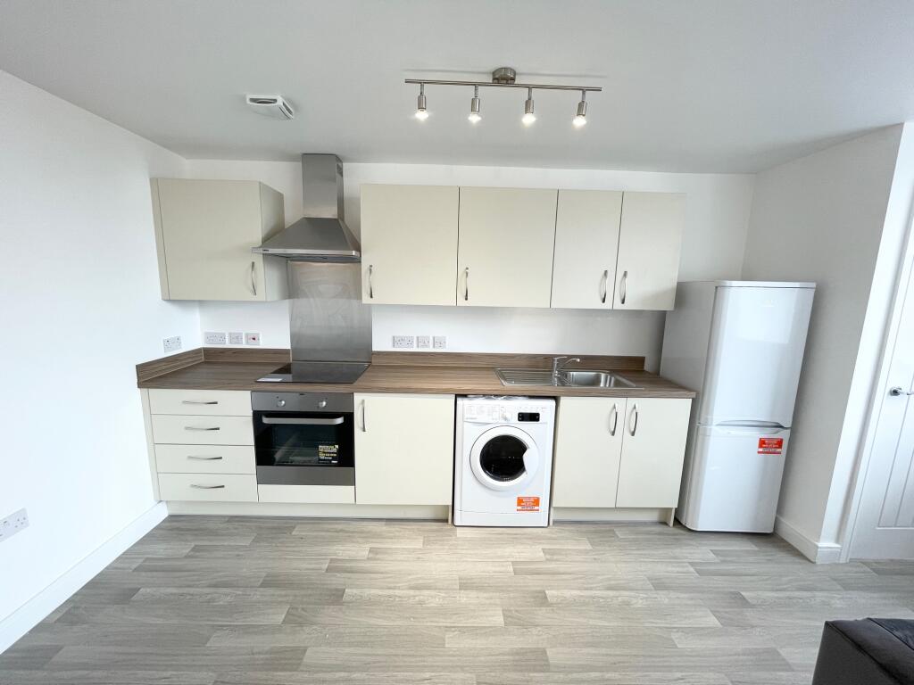
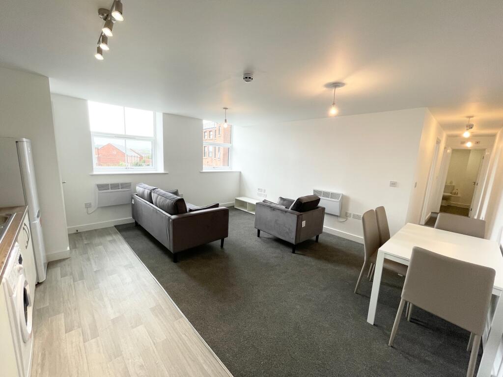
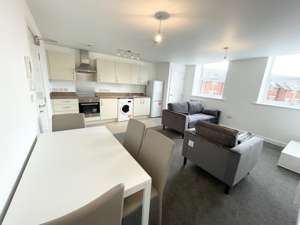
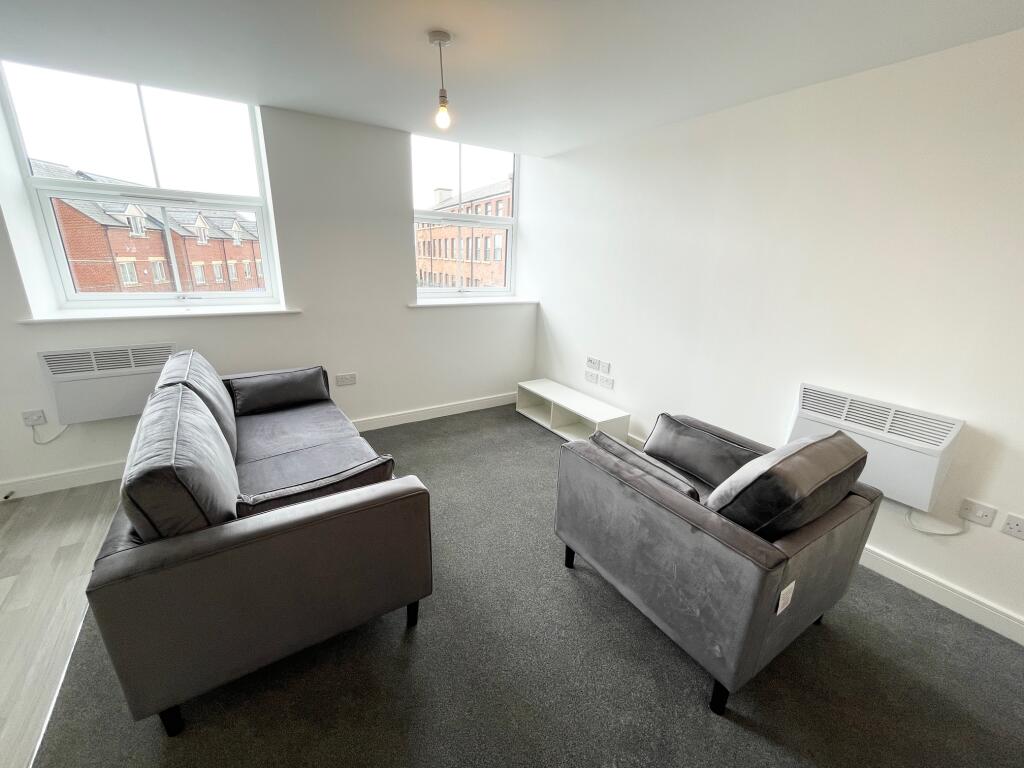
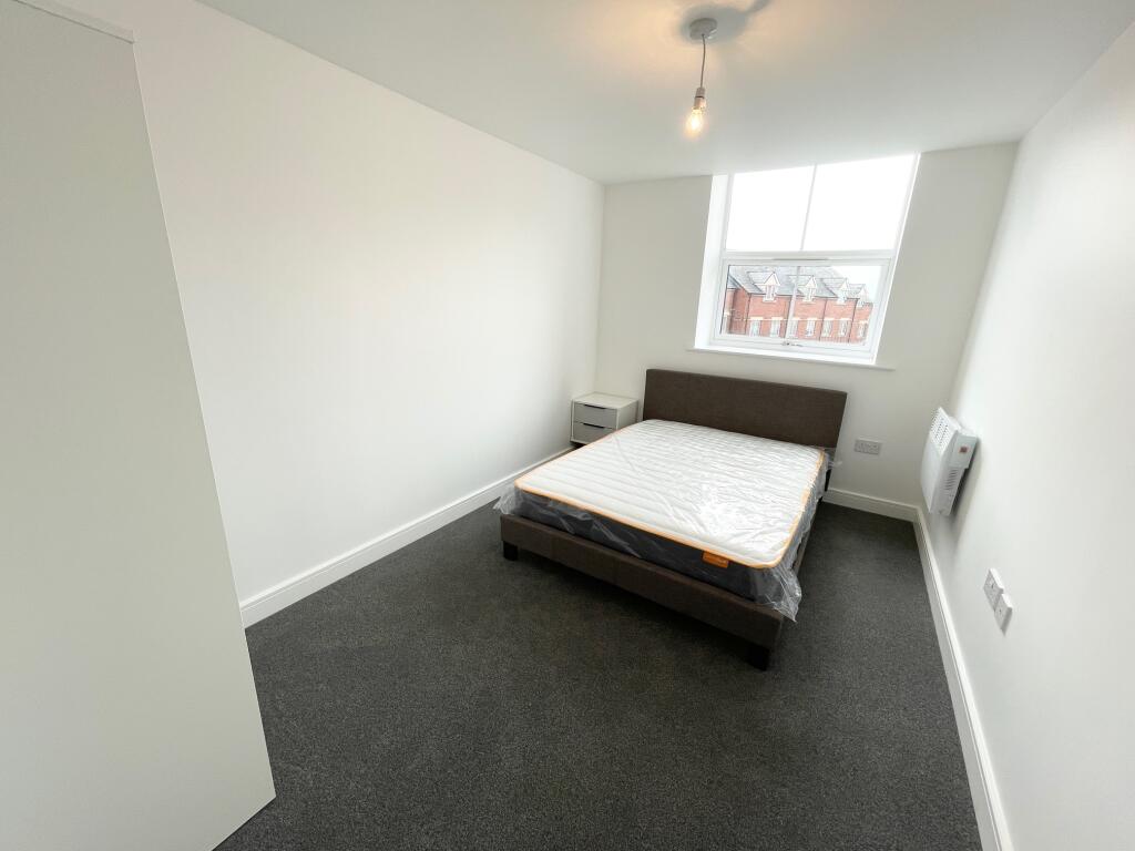
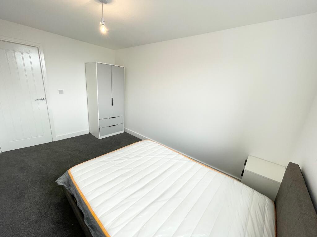
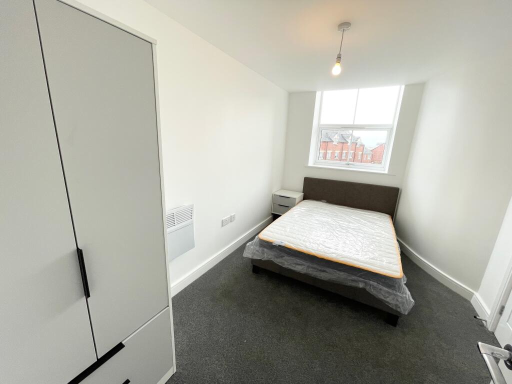
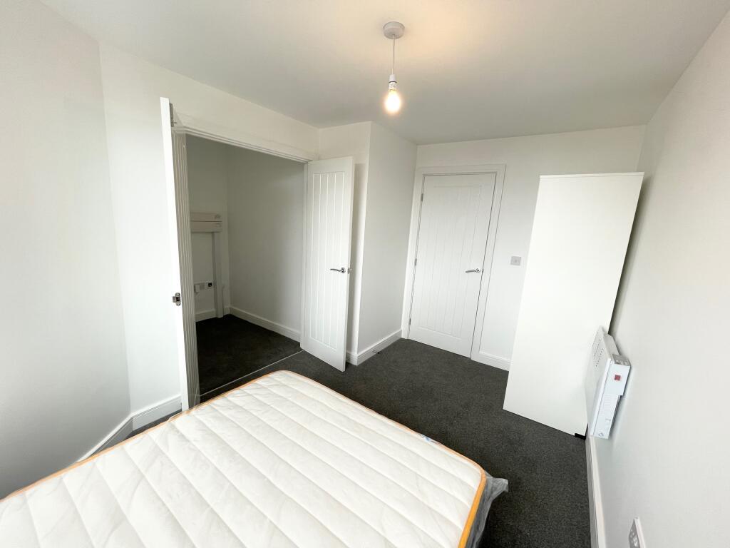
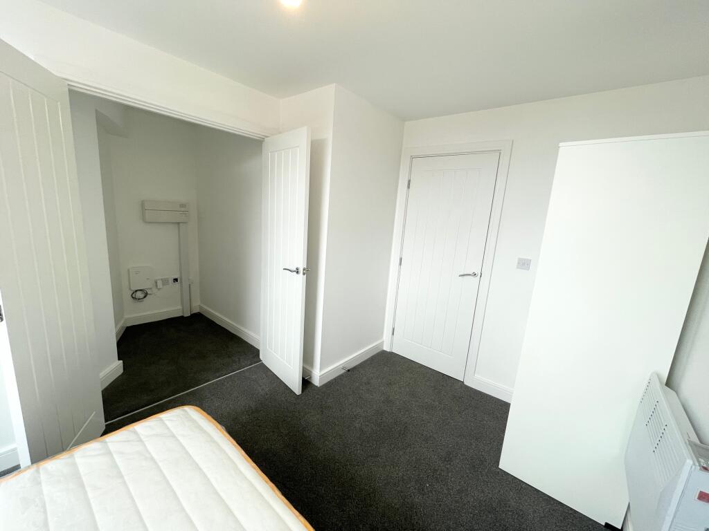
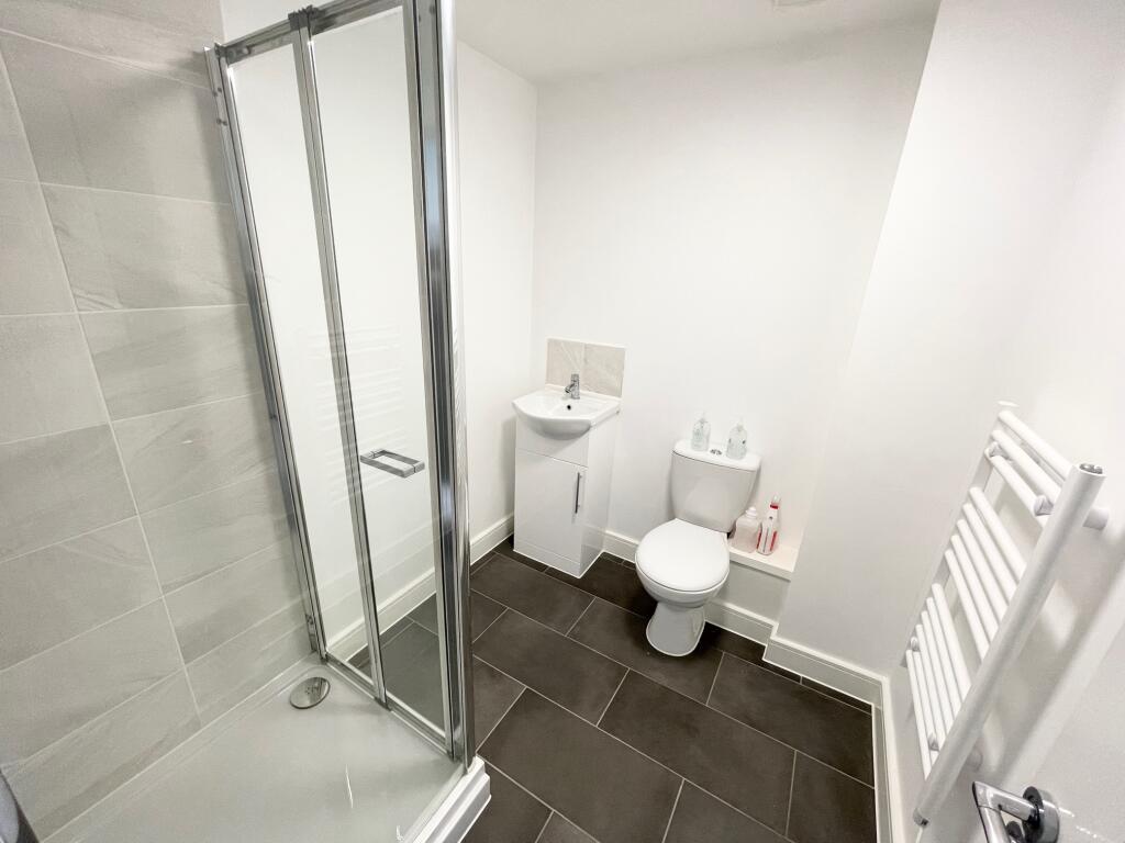
Photo 1 Photo 2 Photo 3 Photo 4 Photo 5 Photo 6 Photo 7 Photo 8 Photo 9 Photo 10
/ 10
Property details
Floor area
60 m²
Deprivation
Decile 1 (1,987 of 33,755)
Street crime
790 incidents within 1 mile (Apr 2026)
Key features
- *BRAND NEW APARTMENT!*
- Furnished
- Two Double Bedrooms
- Parking Included
- Modern Kitchen
- Pantry Room
- AVAILABLE NOW!
- Call to View!
Additional details
- Parking
- Yes
Description
In brief, this spacious home boasts;
Spacious open plan living area
Contemporary style kitchen with appliances
Pantry room
Living area with modern furnishings
Dining area
Large master bedroom
Second double sized bedroom with walk in wardrobe
White family bathroom, with walk in shower
Parking available!
Located close to Nottingham City Hospital and Nottingham City Centre!
Call TODAY to avoid missing out! Council Tax Band: Holding Deposit: £196.00
Listed by
Nottingham
Countrywide UK Lettings - Connells
Reference: 158588114
EPC ratings on this postcode
We don't have a matched EPC for this property yet. Below are efficiency scores and details for other addresses on this postcode.
| Address | Current | Potential | Floor area | Age band | Type |
|---|---|---|---|---|---|
| Flat 9 Studio House, 22 Mount Street, New Basford, Nottingham | 67 | 67 | 60 m² | — | Flat |
Flood risk
Zone: 1
Risk: Low
Job (default Low)
Rental Range
Estimated market rent for Nottingham. Low = conservative, Realistic = average, Optimistic = best case.
Based on Local Authority from postcode lookup → Nottingham.
LHA (30th percentile) floor for Nottingham: £648/mo (Apr 2025 – Mar 2026)
Location
Address
Mount Street
Nearby
Nearest stations, universities and amenities (distance from property).
| Type | Name | Distance |
|---|---|---|
| Shop | Elm Tree Garage | 0.1 miles |
| Shop | Unknown | 0.1 miles |
| Bus stop | Ewart Road | 0.2 miles |
| Bus stop | Sturton Street | 0.2 miles |
| University | Chaucer Study Space | 1.1 miles |
| University | Clinical Sciences | 1.5 miles |
| Train station | Nottingham | 2.0 miles |
| Train station | Bulwell | 2.2 miles |
| Hospital | Priory Hospital Arnold | 4.6 miles |
Street-level crime
| Category | Count |
|---|---|
| Violence and sexual offences | 261 |
| Anti-social behaviour | 126 |
| Public order | 73 |
| Criminal damage and arson | 58 |
| Other theft | 55 |
| Shoplifting | 51 |
| Drugs | 37 |
| Vehicle crime | 34 |
| Burglary | 26 |
| Possession of weapons | 23 |
| Robbery | 20 |
| Other crime | 13 |
| Bicycle theft | 8 |
| Theft from the person | 5 |
| Total incidents | 790 |
Within 1 mile during Apr 2026. Source: data.police.uk (England & Wales).
Schools nearby
Nearest open schools with Ofsted ratings (England). Closed schools are not shown. Data from Get Information about Schools and Ofsted.
| Name | Type | Distance | Ofsted |
|---|---|---|---|
| Forest Fields Primary and Nursery School | Primary | 0.1 miles | Good — 24 Apr 2024 |
| St Mary's Catholic Primary School | Primary | 0.2 miles | Good — 15 Dec 2022 |
| Scotholme Primary and Nursery School | Primary | 0.2 miles | Good — 2 Jul 2023 |
| Djanogly Sherwood Academy | Primary | 0.2 miles | Good — 2 Mar 2023 |
| Djanogly Northgate Academy | Primary | 0.2 miles | Good — 6 Feb 2014 |
Rental Comparables
Residential lets from OpenRent and Rightmove for the area (same bedroom count). Use to validate rent estimates. Student lets are excluded.
| Title | Rent | Beds | Distance | As seen on |
|---|---|---|---|---|
| 2 Bed Terraced House, Noel St, NG7 | £850/mo | 2 | 0.16 miles | OpenRent |
| 2 Bed End Terrace, Port Said Villas, NG7 | £975/mo | 2 | 0.22 miles | OpenRent |
| 2 Bed End Terrace, Port Said Villas, NG7 | £975/mo | 2 | 0.23 miles | OpenRent |
| 2 Bed End Terrace, Falcon Grove, NG7 | £850/mo | 2 | 0.27 miles | OpenRent |
| 2 Bed Terraced House, Rosetta Road, NG7 | £895/mo | 2 | 0.29 miles | OpenRent |
Average rent: £909/mo (5 listings)
Enter House Number
Enter the house number to help us retrieve more accurate pricing history and property data.
Please log in to submit or correct the house number for this listing.
Log in to continue