1
THE STABLES COTTAGES, VALINGERS ROAD, KING'S LYNN, NORFOLK PE30 5HD
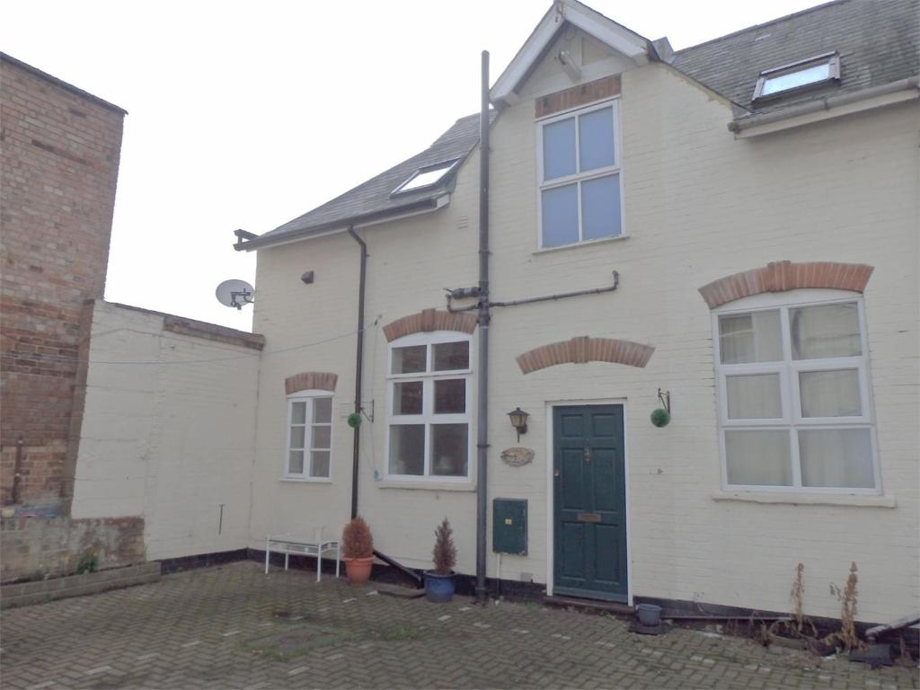
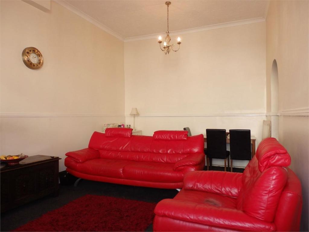
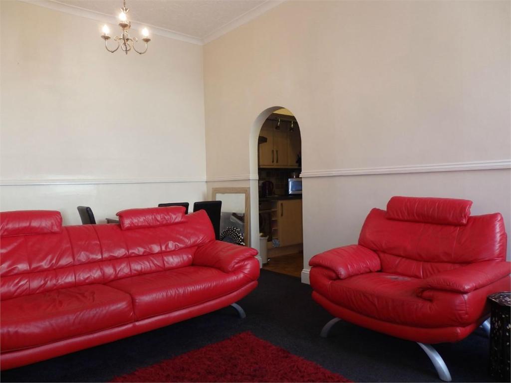
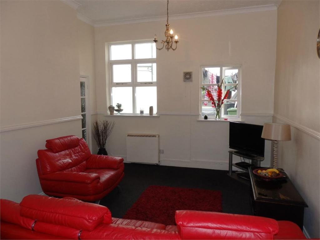
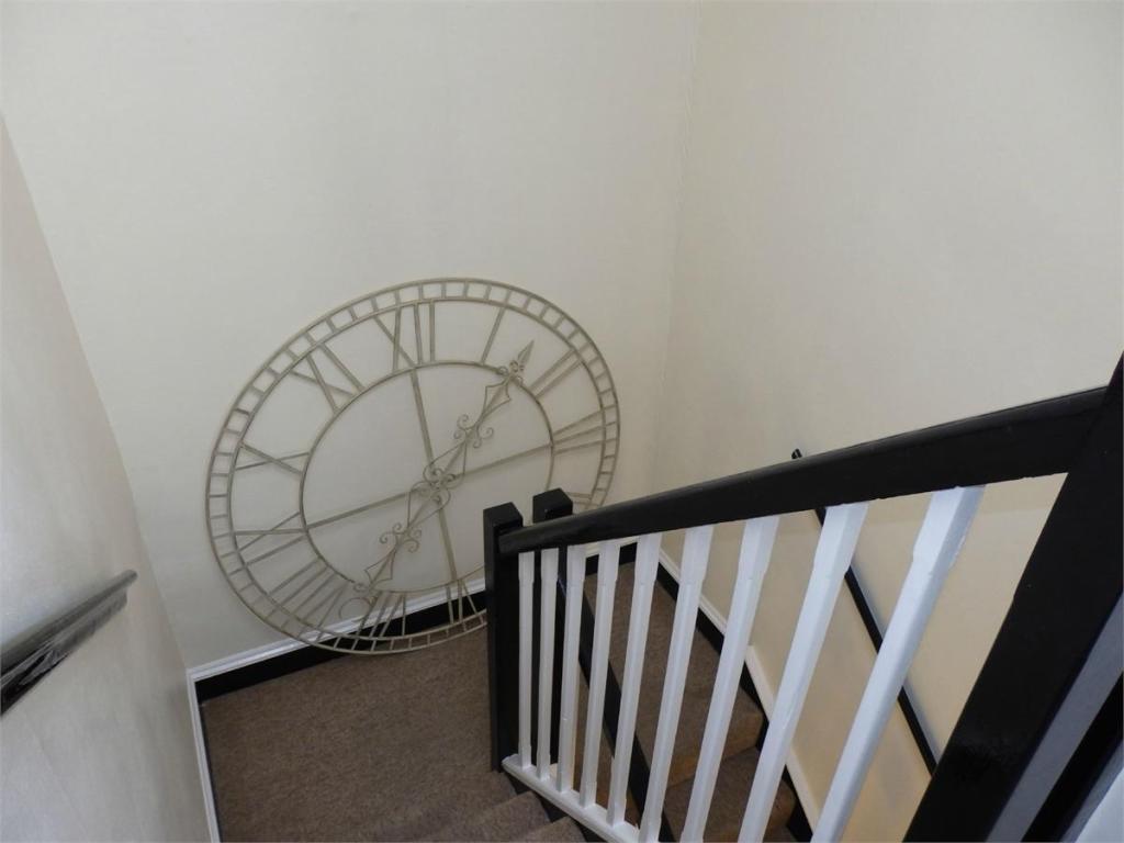
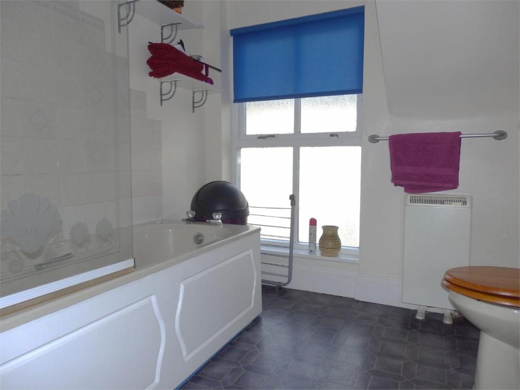
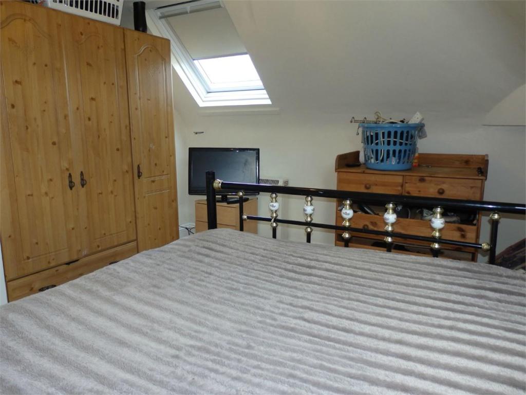
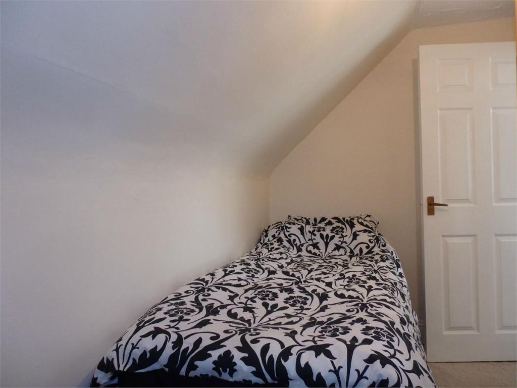
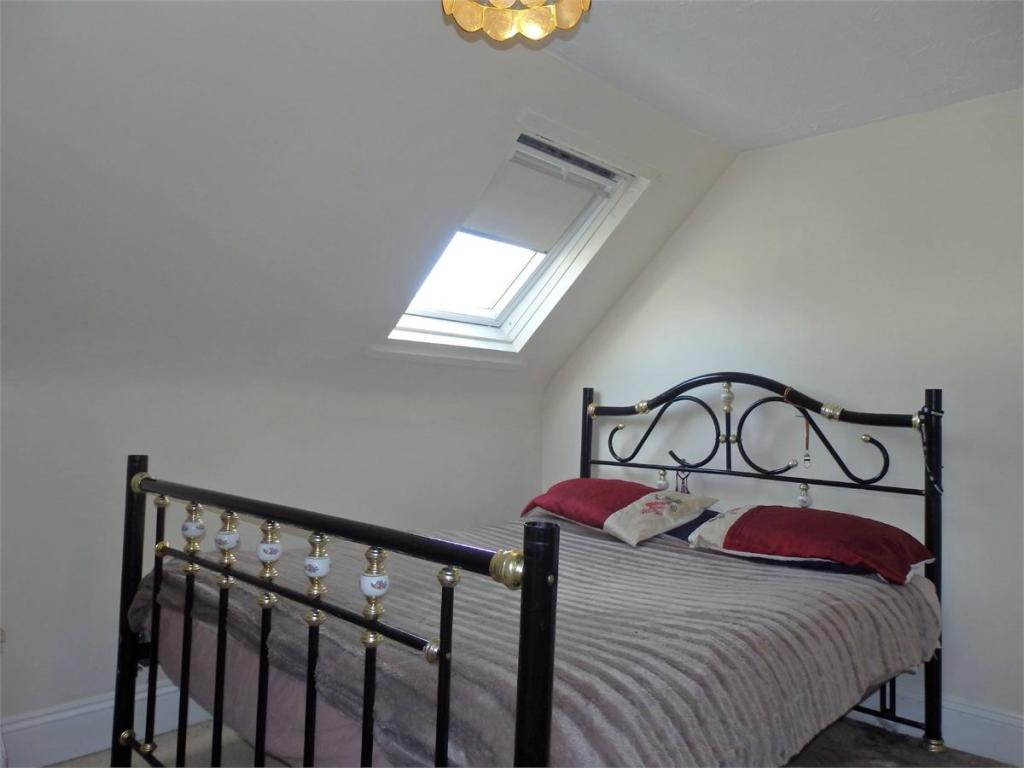
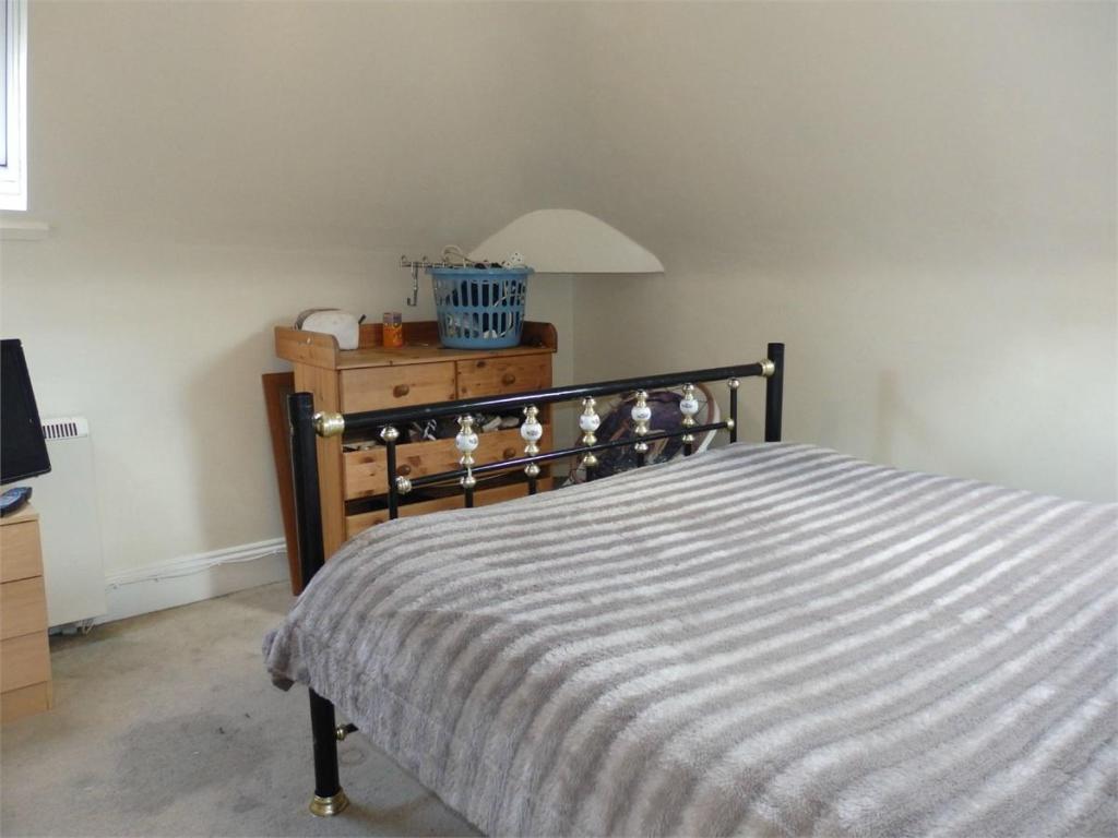
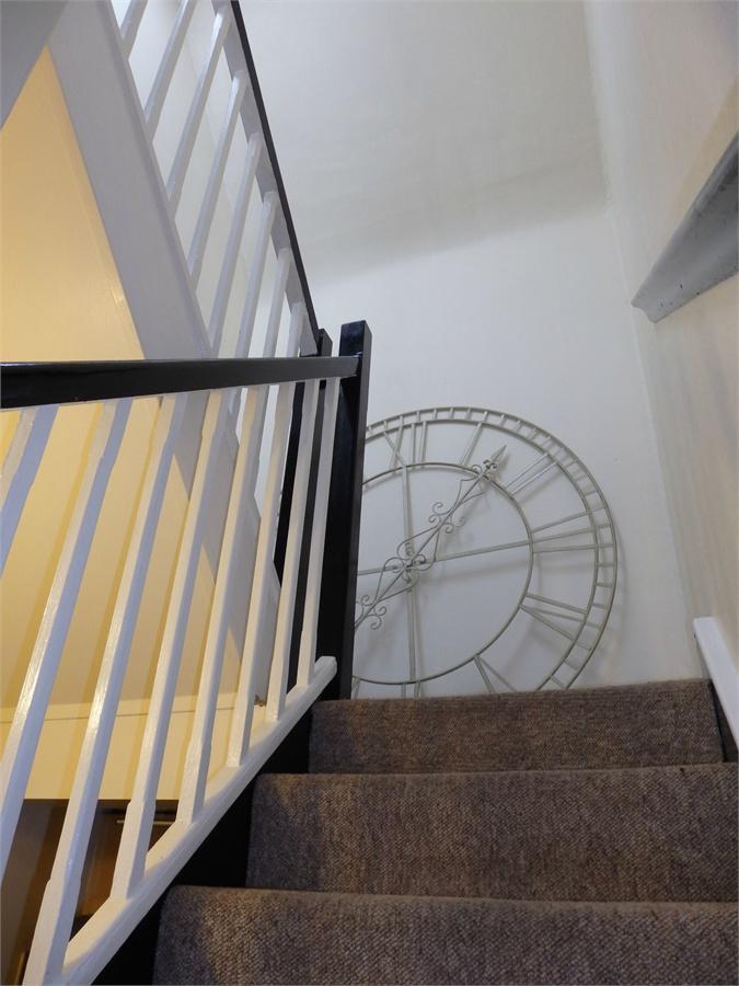
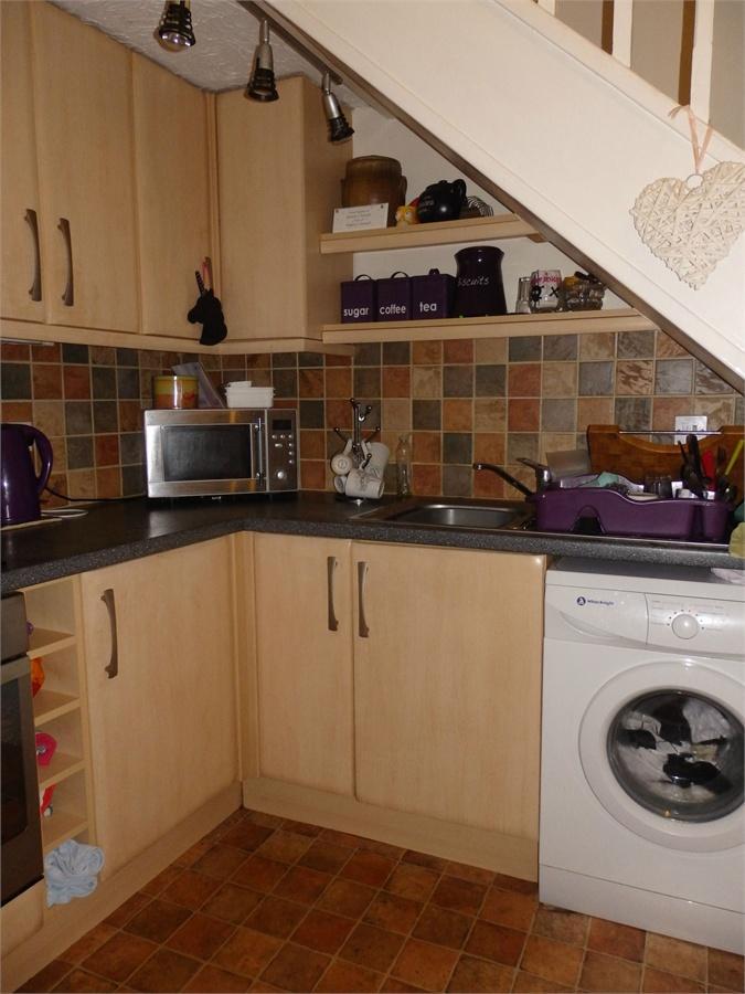
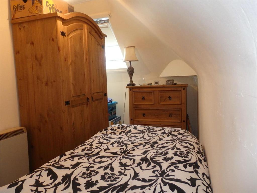
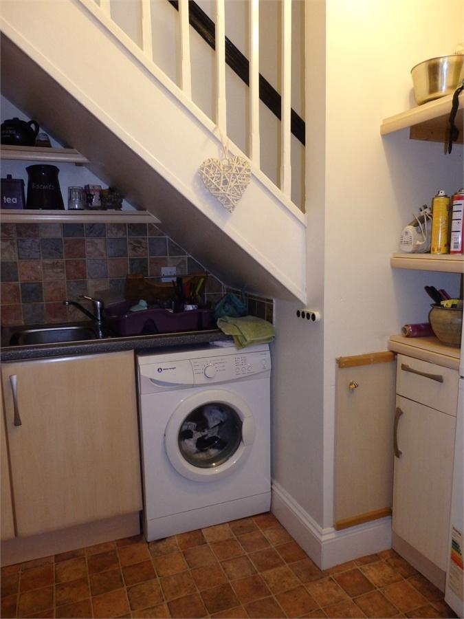
Photo 1 Photo 2 Photo 3 Photo 4 Photo 5 Photo 6 Photo 7 Photo 8 Photo 9 Photo 10 Photo 11 Photo 12 Photo 13 Photo 14
/ 14
Property details
Tenure
FREEHOLD
Floor area
58 m²
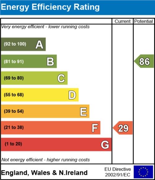
EPC rating
D
Year built
England and Wales: 1900-1929
Last sold
£139,000 Nov 2022
Price per m²
£2,500/m²
Local average
£230,932 (-48%)
Deprivation
Decile 1 (2,532 of 33,755)
Street crime
316 incidents within 1 mile (Apr 2026)
Additional details
- Parking
- Yes
Description
Property ref: 121_799_4269981
Listed by
Kings Lynn
Wilson & Betts
Reference: 44782956
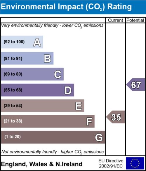
EPC Rating & Upgrade Cost
Current rating: D
Potential rating: C
Inspection date: 06/12/2022
Current heating cost: £694/year
Potential heating cost: £463/year
Est. upgrade cost to C: £19,900
Recommendations
- 50 mm internal or external wall insulation (£4,000 - £14,000)
- Floor insulation (solid floor) (£4,000 - £6,000)
- Replace single glazed windows with low-E double glazing (£3,300 - £6,500)
- High performance external doors (£1,000)
Flood risk
Zone: 1
Risk: Low
Job (default Low)
Floorplans
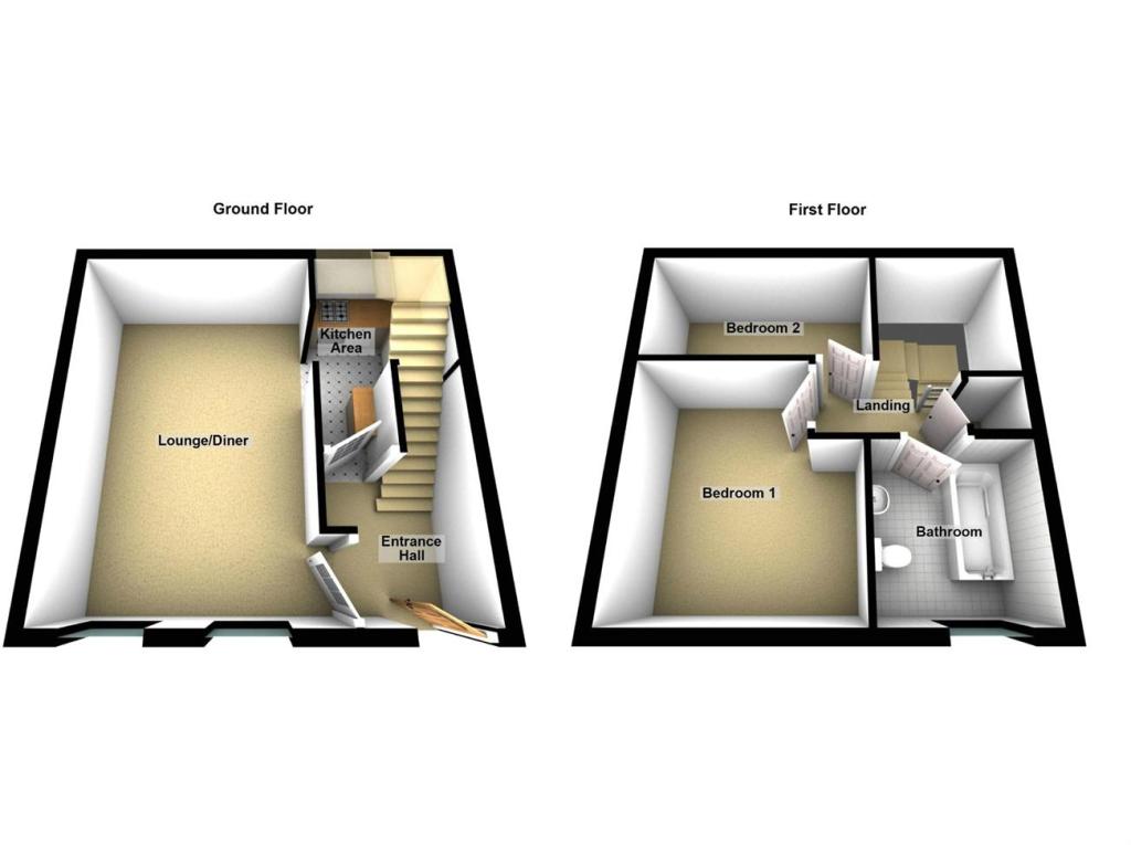
Floorplan 1
EPC Graphs
EER

EPC 2
EIR
Price history
22% since 2017
| Event | Date | Price | % change |
|---|---|---|---|
| Sold | 21/11/2022 (3 years ago) | £139,000 | +15.8% |
| Sold | 17/12/2021 (4 years ago) | £120,000 | +5.7% |
| Sold | 21/07/2017 (8 years ago) | £113,500 | — |
Source: HM Land Registry Price Paid Data. Crown copyright.
Sold Comparables
Same street and nearby sales within 0.25 miles (last 5 years). Data from Land Registry Price Paid.
| Address | Price | Date | Type |
|---|---|---|---|
| 19 LONDON ROAD, KING'S LYNN, KING'S LYNN AND WEST NORFOLK, NORFOLK, PE30 5PY | £225,000 | 10/12/2025 | Semi-detached |
| 21 VALINGERS ROAD, KING'S LYNN, KING'S LYNN AND WEST NORFOLK, NORFOLK, PE30 5HD | £193,000 | 29/10/2025 | Semi-detached |
| 48 FRIARS STREET, KING'S LYNN, KING'S LYNN AND WEST NORFOLK, NORFOLK, PE30 5AP | £207,500 | 31/05/2023 | Semi-detached |
| 19 GLADSTONE ROAD, KING'S LYNN, KING'S LYNN AND WEST NORFOLK, NORFOLK, PE30 5AL | £148,000 | 17/08/2022 | Semi-detached |
| 27 SOUTH EVERARD STREET, KING'S LYNN, KING'S LYNN AND WEST NORFOLK, NORFOLK, PE30 5HJ | £190,000 | 20/12/2021 | Semi-detached |
| 124 LONDON ROAD, KING'S LYNN, KING'S LYNN AND WEST NORFOLK, NORFOLK, PE30 5ES | £266,000 | 28/10/2021 | Semi-detached |
Area average: £204,917 (6 sales)
Capital growth trend
Land Registry outcode average: last 12 months vs 5y and 10y ago (from sold prices).
House Price Index (HM Land Registry — official index, not sold-price averages): King's Lynn and West Norfolk. Series: Semi-detached. As of March 2026.
Rental Range
Estimated market rent for King's Lynn and West Norfolk. Low = conservative, Realistic = average, Optimistic = best case.
Based on Local Authority from postcode lookup → King's Lynn and West Norfolk.
LHA (30th percentile) floor for Kings Lynn: £648/mo (Apr 2025 – Mar 2026)
Location
Address
55 South Everard Street
Nearby
Nearest stations, universities and amenities (distance from property).
| Type | Name | Distance |
|---|---|---|
| Shop | Whites Premier | 0.1 miles |
| Shop | Andrew Francis | 0.1 miles |
| Bus stop | Southgate Street, adj | 0.1 miles |
| Bus stop | Southgate Street, opp | 0.2 miles |
| Train station | King's Lynn | 0.4 miles |
| Hospital | Queen Elizabeth Hospital | 2.0 miles |
| Train station | Watlington | 5.2 miles |
| Hospital | North Cambridgeshire Hospital | 11.4 miles |
Street-level crime
| Category | Count |
|---|---|
| Violence and sexual offences | 127 |
| Shoplifting | 46 |
| Anti-social behaviour | 37 |
| Public order | 33 |
| Criminal damage and arson | 21 |
| Drugs | 14 |
| Other theft | 11 |
| Bicycle theft | 7 |
| Other crime | 7 |
| Burglary | 3 |
| Robbery | 3 |
| Theft from the person | 3 |
| Possession of weapons | 2 |
| Vehicle crime | 2 |
| Total incidents | 316 |
Within 1 mile during Apr 2026. Source: data.police.uk (England & Wales).
Schools nearby
Nearest open schools with Ofsted ratings (England). Closed schools are not shown. Data from Get Information about Schools and Ofsted.
| Name | Type | Distance | Ofsted |
|---|---|---|---|
| Whitefriars Church of England Primary Academy | Primary | 0.1 miles | Outstanding — 17 Jul 2024 |
| Greyfriars Academy | Primary | 0.1 miles | Requires improvement — 14 Mar 2024 |
| King's Lynn Nursery School | Nursery | 0.3 miles | Good — 12 Sep 2013 |
| Visiting Teacher Service West | Other | 0.3 miles | — (No rating) |
| Eastgate Academy | Primary | 0.6 miles | Outstanding — 1 Mar 2017 |
Rental Comparables
Rental listings exist nearby, but none matched the 2-bedroom count for this property.
Rent-driven metrics
Based on Area rent estimate.
- Rent ratio — Monthly rent ÷ purchase price (1% rule). 1%+ = strong, 0.8–1% = okay, <0.8% = weak for cashflow.
- Max investor price — Rent ÷ 0.8%; the price at which rent would be 0.8% of price (Stoke-style target).
- Target investor price — Rent ÷ 1%; the price at which rent would be 1% of price (strong cashflow band).
- Gross yield — Annual rent as % of purchase price (no costs).