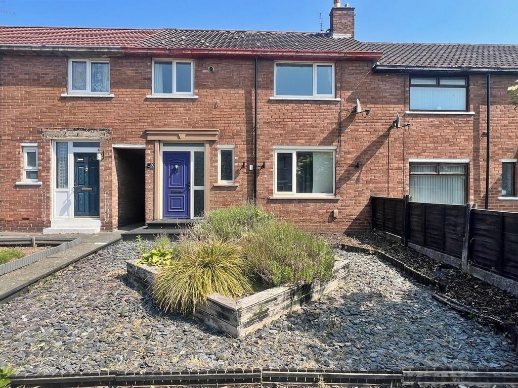
50 LEVENS WAY
WIDNES, HALTON WA8 8EY
£875 pcm

Property details
Floor area
78 m²
Council tax band
A
Deprivation
Decile 1 (2,527 of 33,755)
Street crime
171 incidents within 1 mile (Apr 2026)
Key features
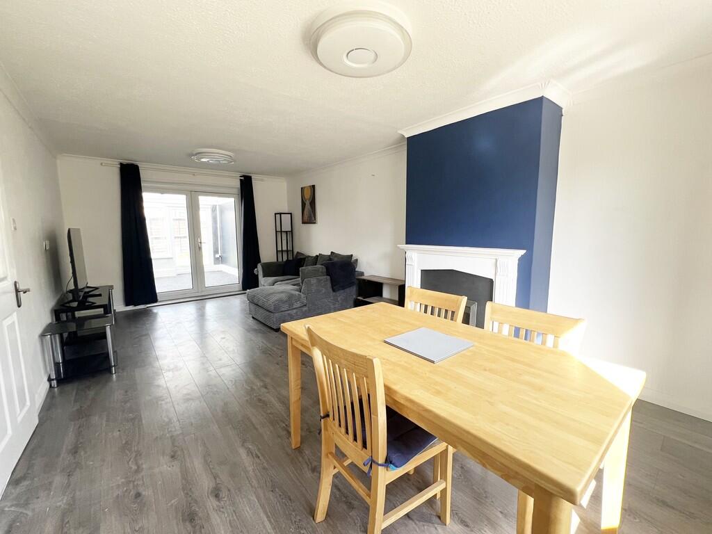
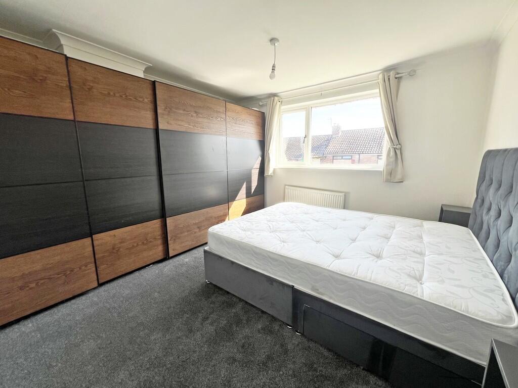
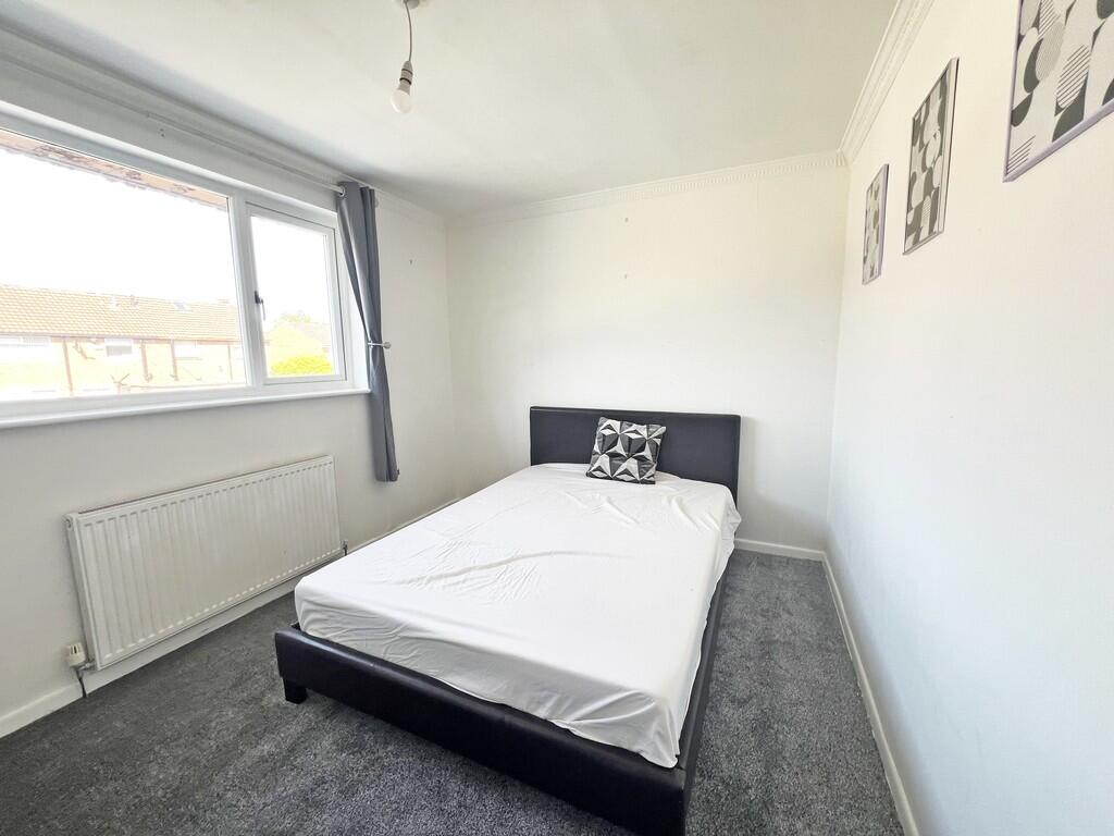
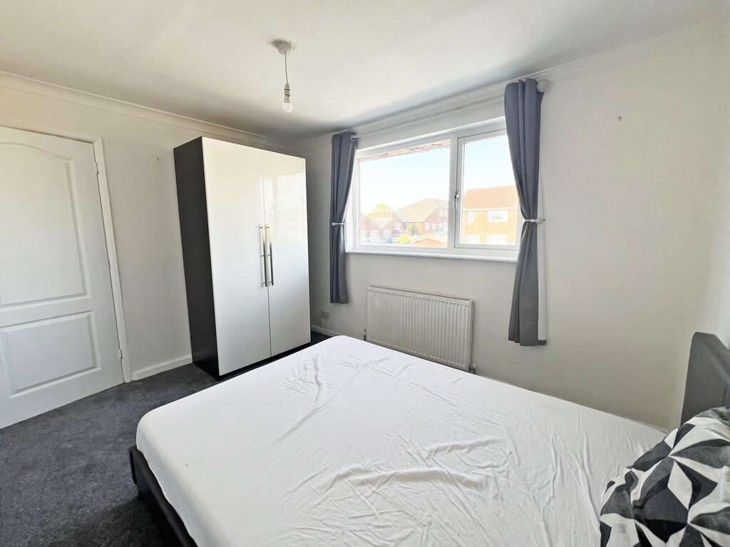
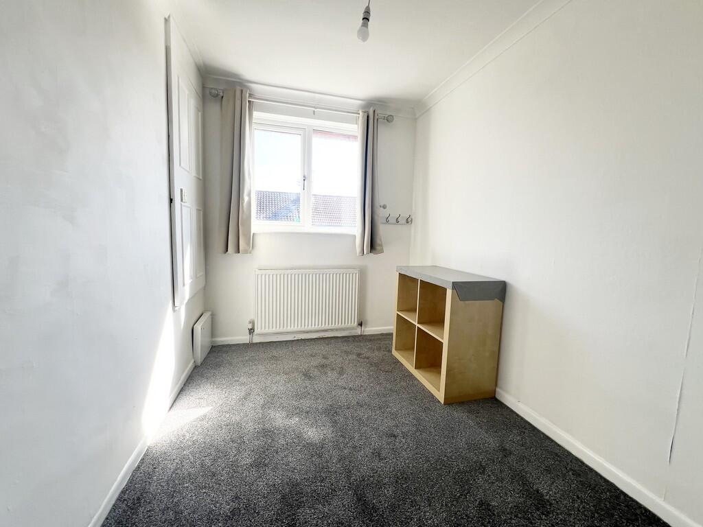
- THREE BEDROOMS
- MID-TERRACED HOUSE
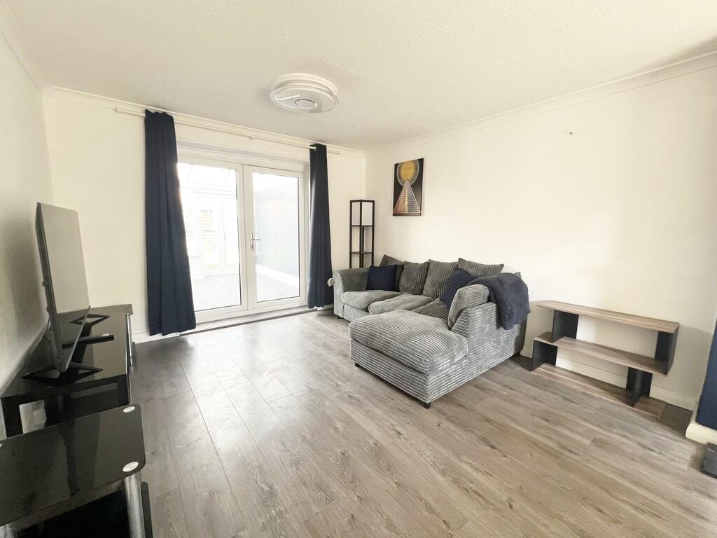
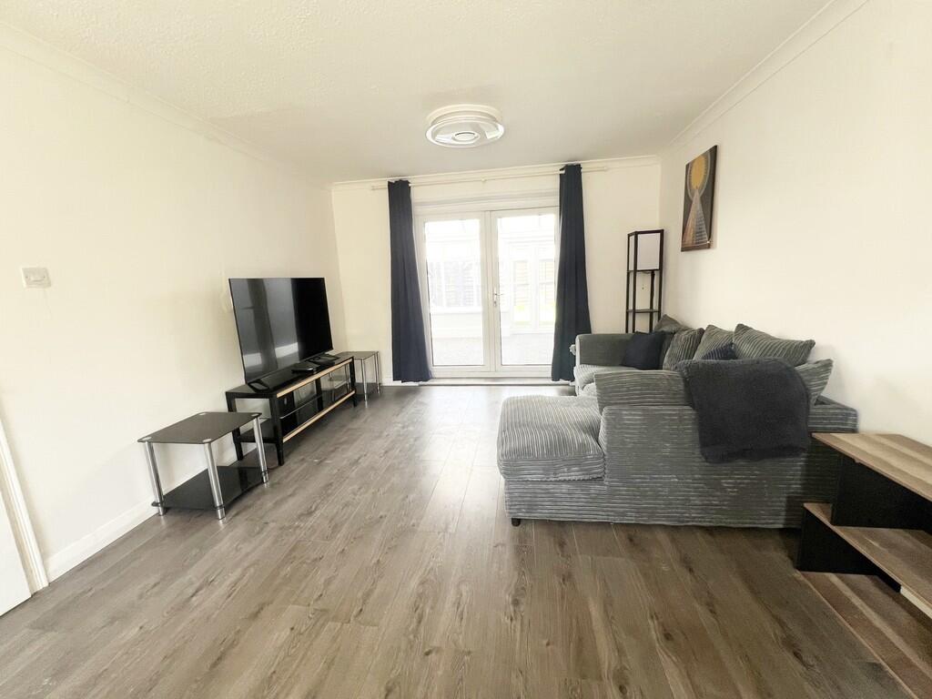
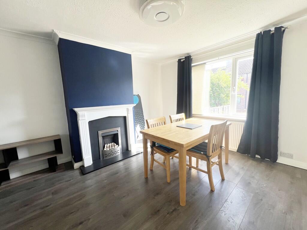
- OPEN PLAN LOUNGE & DINING ROOM
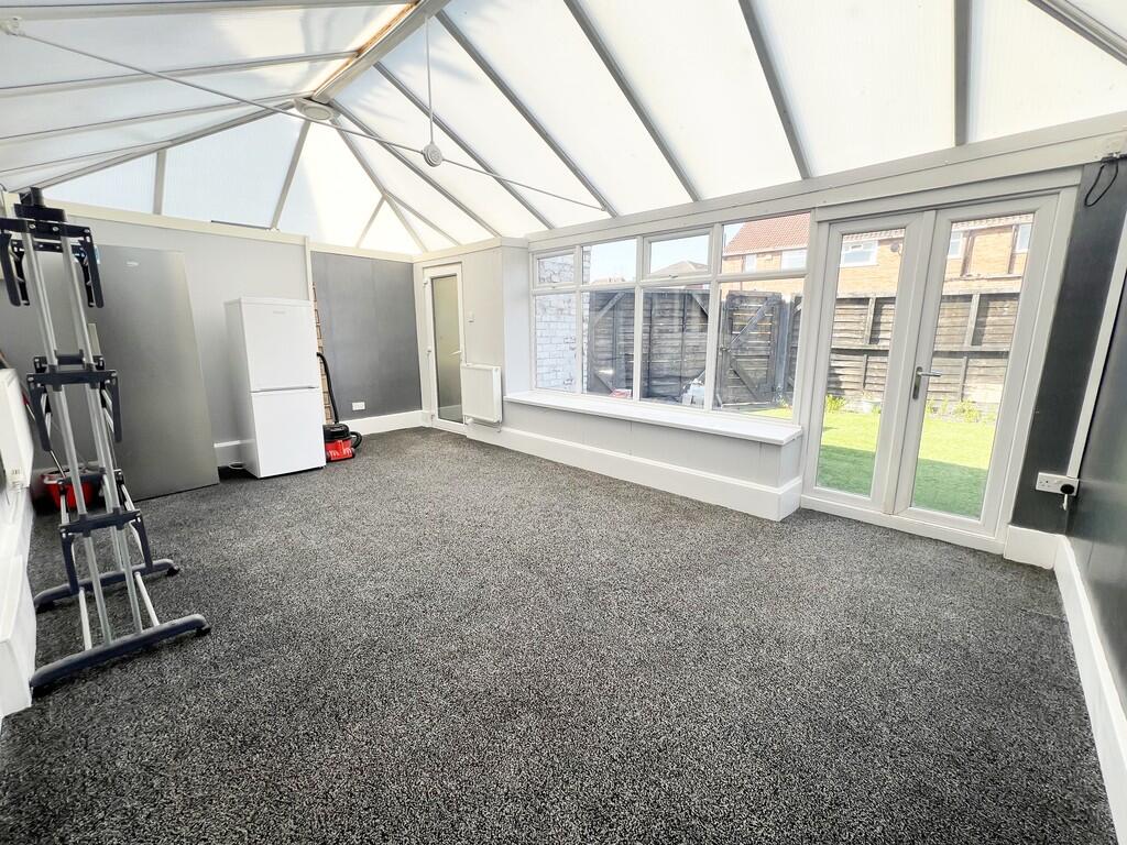
- CONSERVATORY
- FURNISHED
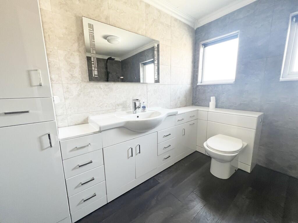
- GOOD SIZE BATHROOM
- CLOSE TO LOCAL AMENITIES
- CLOSE TO SCHOOLS
- EPC RATING C
- CALL OR EMAIL TO ARRANGE A VIEWING
Additional details
- Electricity
- Mains supply
- Water
- Mains supply
- Sewerage
- Mains supply
- Heating
- Gas central
- Parking
- On street
- Garden
- Yes
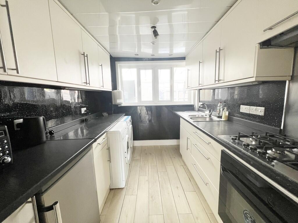
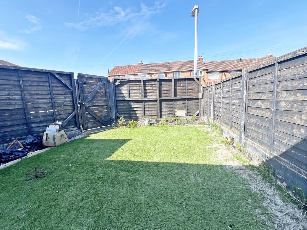
Description
Listed by
Widnes
The Property Franchise Group
Reference: 161664836
EPC Rating & Upgrade Cost
Fetching EPC data… Refresh this page in a moment.
Flood risk
Zone: 1
Risk: Low
Job (default Low)
EPC Graphs
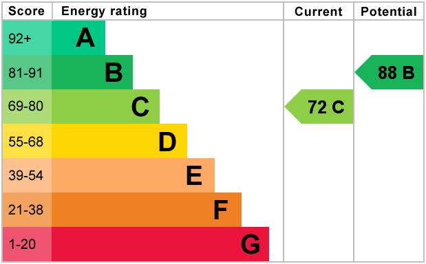
EPC 1
FENSA Certificates
This property has 1 FENSA certificate(s) on record, indicating window/door installations by FENSA-approved installers.
FENSA Certificate #4419366
Property Details
Street: 50 Levens Way
Town: WIDNES
Postcode: WA8 8EY
Installation Details
Items: 8 windows and 2 doors
Certificate Issued: 29/01/2007
Work Completed: 09/01/2007
This certificate data was retrieved from FENSA's database
What is FENSA? FENSA (Fenestration Self-Assessment Scheme) is a government-authorised scheme that monitors building regulation compliance for replacement windows and doors. Certificates indicate that work was completed by FENSA-approved installers.
Rental Range
Estimated market rent for Halton. Low = conservative, Realistic = average, Optimistic = best case.
Based on Local Authority from postcode lookup → Halton.
LHA (30th percentile) floor for North Cheshire: £693/mo (Apr 2025 – Mar 2026)
Location
Nearby
Nearest stations, universities and amenities (distance from property).
| Type | Name | Distance |
|---|---|---|
| Bus stop | Queens Avenue | 0.1 miles |
| Shop | Unknown | 0.1 miles |
| Train station | Hough Green | 0.5 miles |
| Train station | Widnes | 1.5 miles |
| Hospital | Whiston Hospital | 3.7 miles |
| Hospital | Marie Curie Hospice | 4.0 miles |
| University | Liverpool Hope University | 5.4 miles |
| University | Greenbank Halls of Residence | 6.7 miles |
Street-level crime
| Category | Count |
|---|---|
| Violence and sexual offences | 82 |
| Anti-social behaviour | 33 |
| Public order | 20 |
| Criminal damage and arson | 16 |
| Other theft | 5 |
| Drugs | 4 |
| Other crime | 3 |
| Robbery | 3 |
| Vehicle crime | 2 |
| Bicycle theft | 1 |
| Burglary | 1 |
| Possession of weapons | 1 |
| Total incidents | 171 |
Within 1 mile during Apr 2026. Source: data.police.uk (England & Wales).
Schools nearby
Nearest open schools with Ofsted ratings (England). Closed schools are not shown. Data from Get Information about Schools and Ofsted.
| Name | Type | Distance | Ofsted |
|---|---|---|---|
| Oakfield Community Primary School | Primary | 0.3 miles | Good — 23 Nov 2021 |
| Ormiston Chadwick Academy | Secondary | 0.4 miles | Good — 7 Jul 2024 |
| St Michaels Catholic Primary School | Primary | 0.5 miles | Good — 10 Sep 2023 |
| Our Lady of Perpetual Succour Catholic Primary School | Primary | 0.6 miles | Good — 17 Oct 2019 |
| Ashley High School | Other | 0.6 miles | Outstanding — 27 Apr 2015 |
Rental Comparables
Loading rental comparables for this postcode. Refresh in a few minutes.