82 HAIG STREET
GATESHEAD, GATESHEAD, TYNE AND WEAR NE11 9BN
£475 pcm
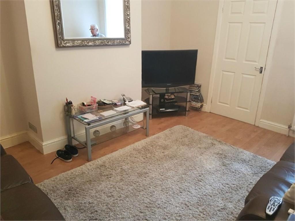
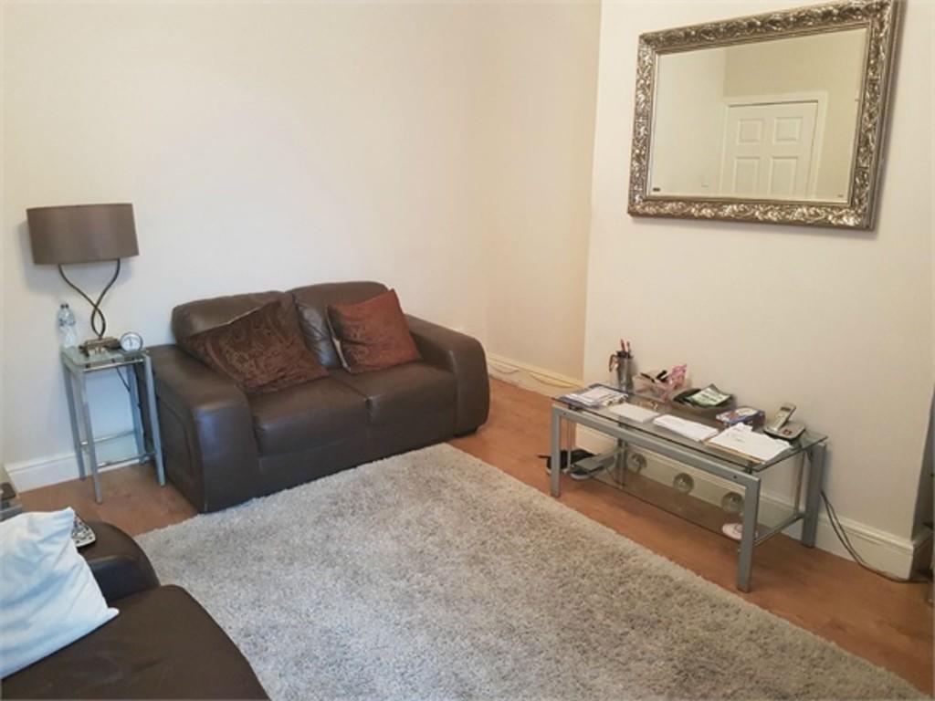
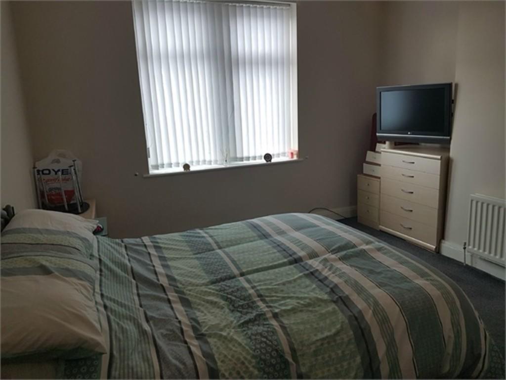
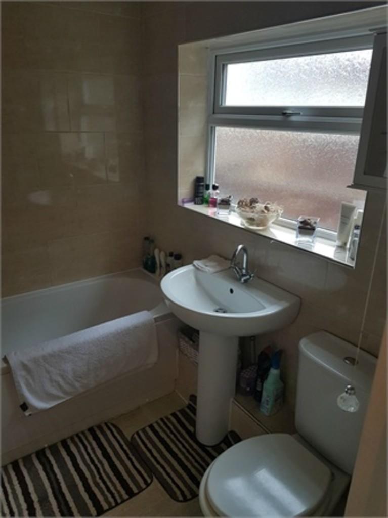
Photo 1 Photo 2 Photo 3 Photo 4 Photo 5 Photo 6 Photo 7
/ 7
Property details
Floor area
64 m²
EPC rating
C
Year built
England and Wales: 1900-1929
Deprivation
Decile 4 (12,357 of 33,755)
Street crime
134 incidents within 1 mile (Apr 2026)
Key features
- £475.00 PCM
- AVAILABLE 12TH OCTOBER 2019
- FURNISHED
- TWO BEDROOM FLAT
- GROUND FLOOR
Additional details
- Garden
- Yes
Description
Anderson Properties bring to the rental market this lovely ground floor two bedroom flat located in Dunston Gateshead. The flat comprises of a good sized living room, fully fitted kitchen, two bedrooms, family bathroom and rear yard. This property comes furnished and is available from 12th October 2019. Council Tax Band - A
.
TO ARRANGE A VIEWING PLEASE CALL US ON
Bedroom 1
Bedroom 2
Bathroom
Kitchen
Reception
Garden **
Listed by
Jesmond
Anderson Properties
Reference: 74091502
EPC Rating & Upgrade Cost
Current rating: C
Potential rating: C
Inspection date: 30/09/2019
Expiry date: 29/09/2029
Current heating cost: £418/year
Potential heating cost: £345/year
Est. upgrade cost to C: £10,000
Recommendations
- 50 mm internal or external wall insulation (£4,000 - £14,000)
- Floor insulation (suspended floor) (£800 - £1,200)
Flood risk
Zone: 1
Risk: Low
Job (default Low)
Rental Range
Estimated market rent for Gateshead. Low = conservative, Realistic = average, Optimistic = best case.
Based on Local Authority from postcode lookup → Gateshead.
LHA (30th percentile) floor for Tyneside: £549/mo (Apr 2025 – Mar 2026)
Location
Nearby
Nearest stations, universities and amenities (distance from property).
| Type | Name | Distance |
|---|---|---|
| Bus stop | Dunston | 0.1 miles |
| Train station | Dunston | 0.1 miles |
| Shop | Premier | 0.1 miles |
| Bus stop | DUNSTON WILSON STREET | 0.1 miles |
| Shop | The Deli NE | 0.1 miles |
| Train station | MetroCentre | 1.0 miles |
| University | Northumbria University Coach Lane Campus | 4.7 miles |
| Hospital | Ferndene - Children and Young Peoples Inpatient Service | 7.8 miles |
| Hospital | Sunderland Primary care Trust | 8.0 miles |
Street-level crime
| Category | Count |
|---|---|
| Violence and sexual offences | 43 |
| Anti-social behaviour | 29 |
| Criminal damage and arson | 14 |
| Burglary | 10 |
| Other crime | 9 |
| Public order | 8 |
| Shoplifting | 7 |
| Vehicle crime | 7 |
| Other theft | 4 |
| Drugs | 2 |
| Robbery | 1 |
| Total incidents | 134 |
Within 1 mile during Apr 2026. Source: data.police.uk (England & Wales).
Schools nearby
Nearest open schools with Ofsted ratings (England). Closed schools are not shown. Data from Get Information about Schools and Ofsted.
| Name | Type | Distance | Ofsted |
|---|---|---|---|
| St Philip Neri Catholic Primary School, Dunston | Primary | 0.3 miles | Good — 21 May 2012 |
| Riverside Primary Academy | Primary | 0.4 miles | Good — 31 Jan 2024 |
| Dunston Hill Community Primary School | Primary | 0.4 miles | Good — 27 Mar 2013 |
| Kingsmeadow Community School | Secondary | 0.4 miles | Good — 18 Oct 2021 |
| Eslington Primary School | Other | 0.8 miles | Outstanding — 2 May 2017 |
Rental Comparables
Rental listings exist nearby, but none matched the 2-bedroom count for this property.