57A Station Street
Ashbourne, Derbyshire, DE6 1DE
Listing type
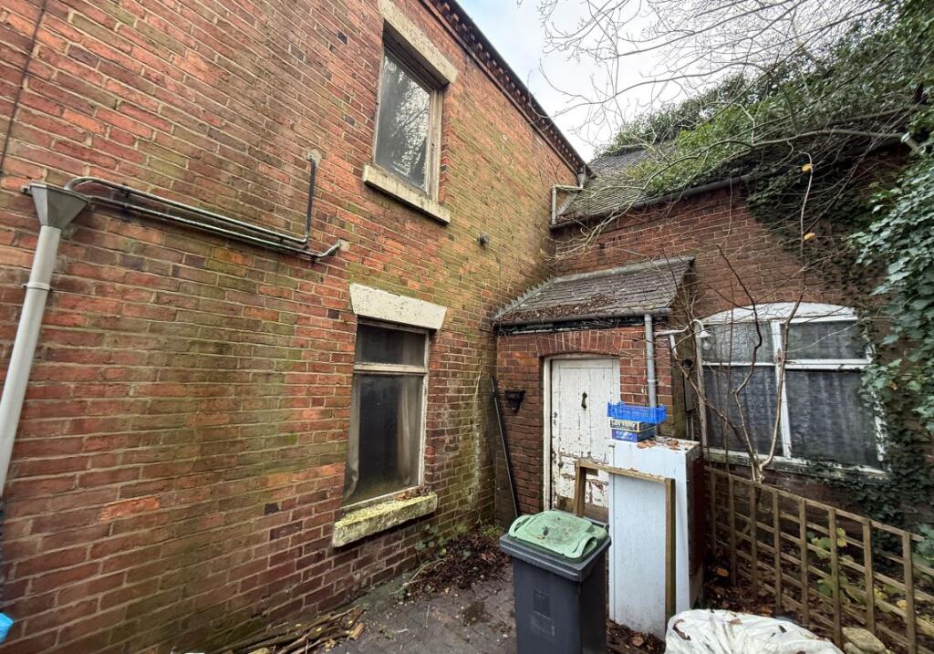
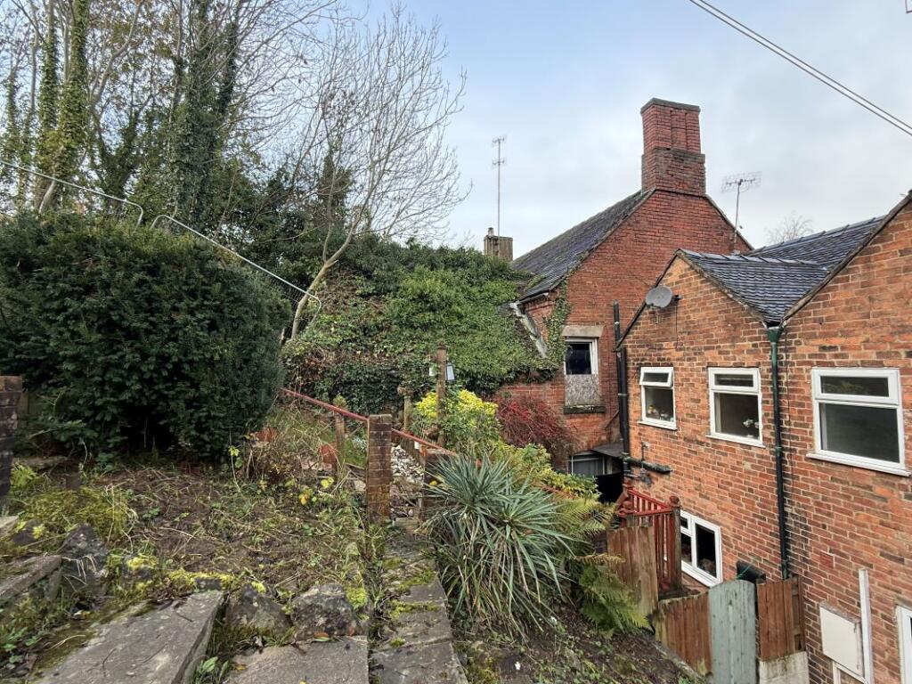
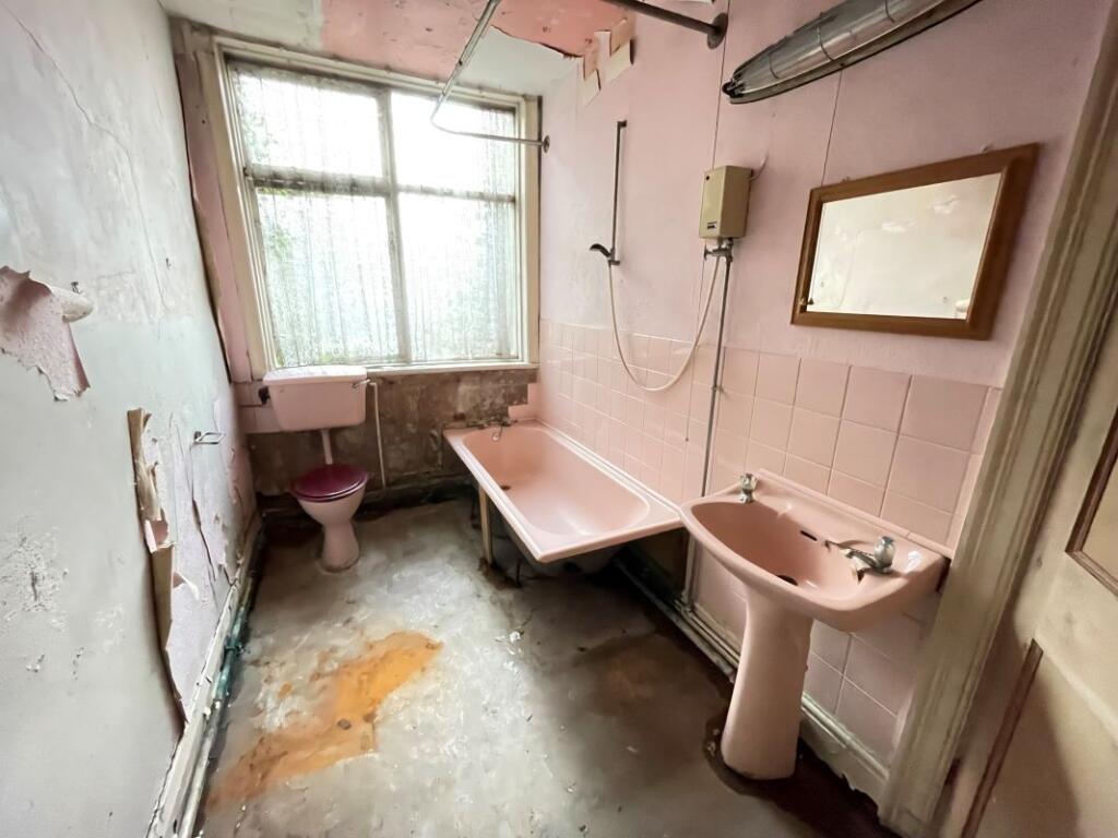
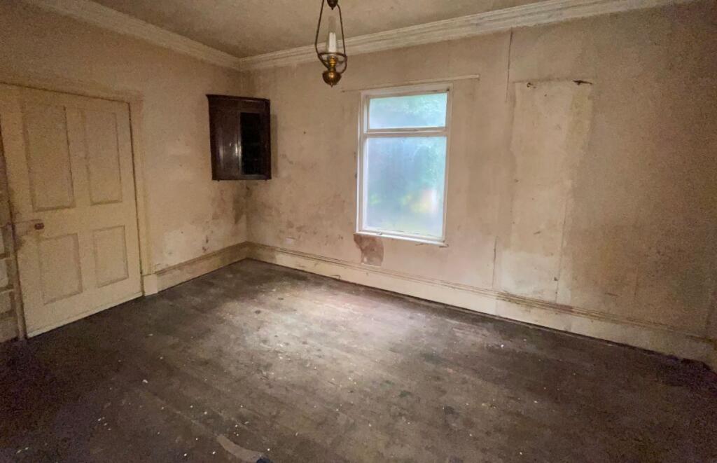
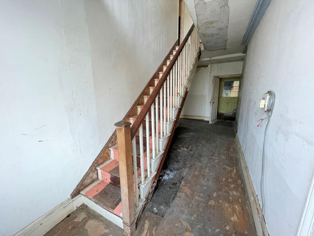
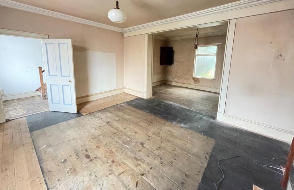
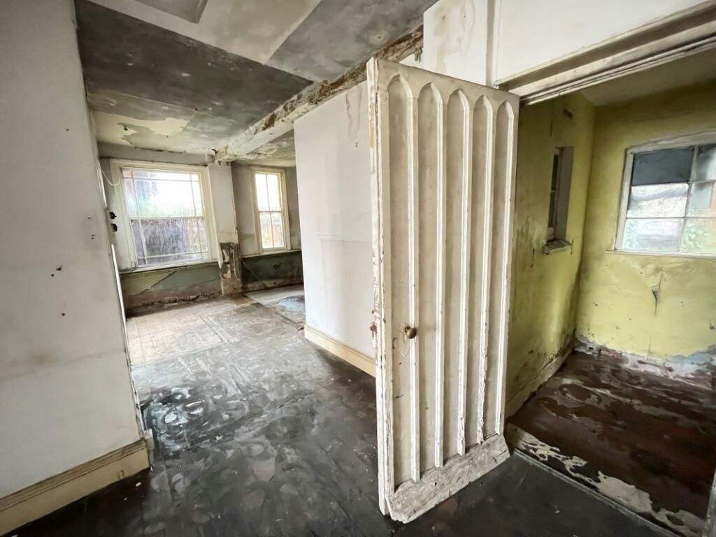
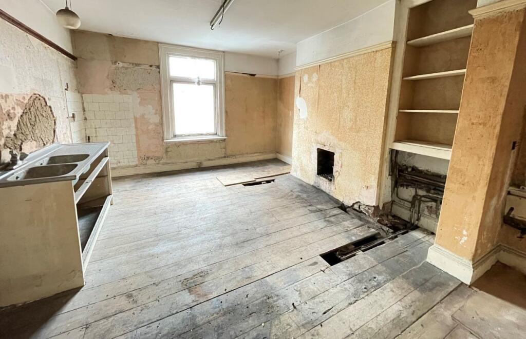
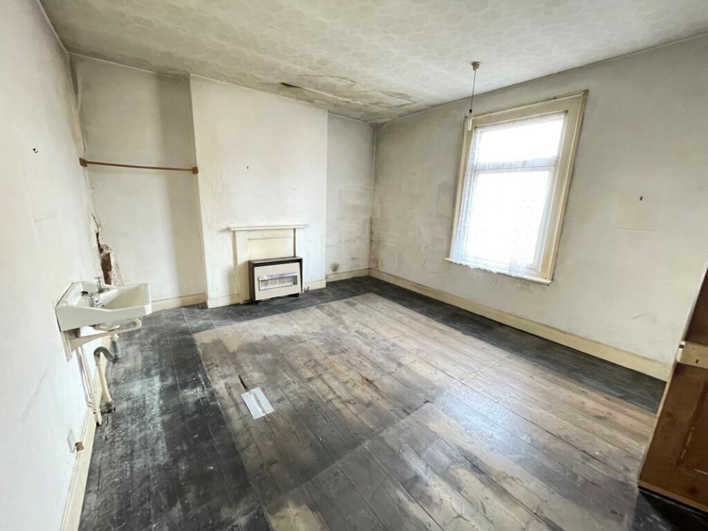
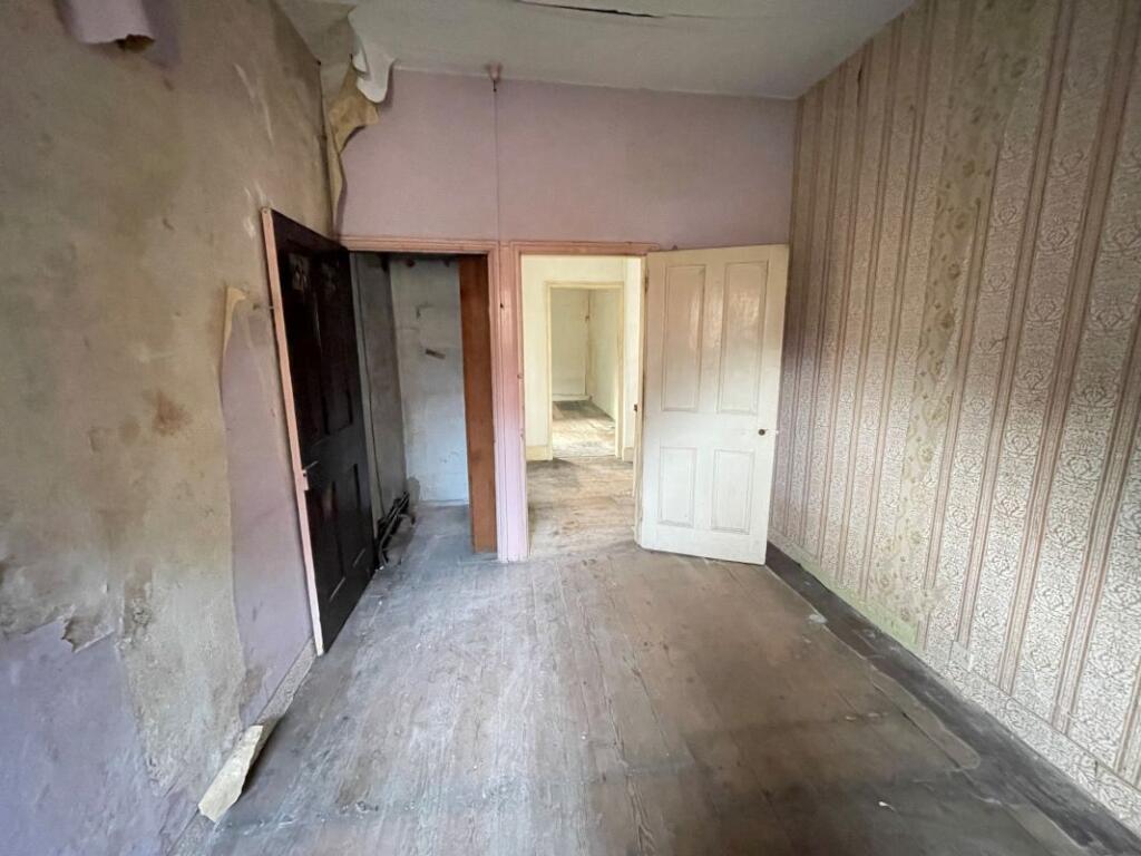
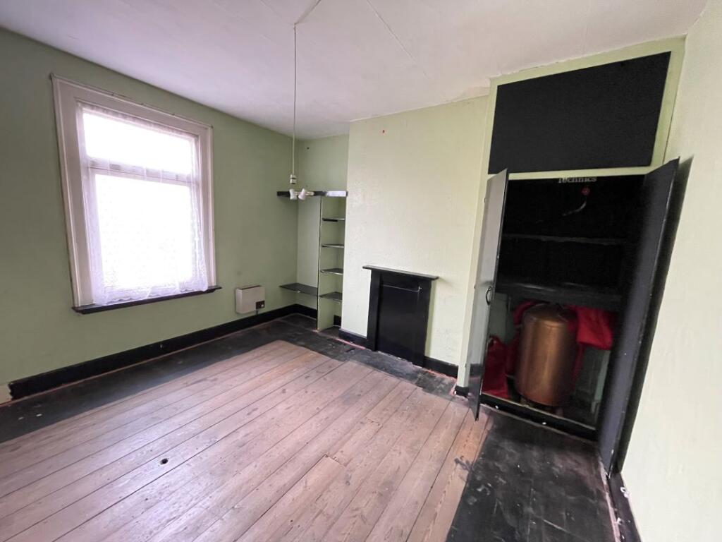
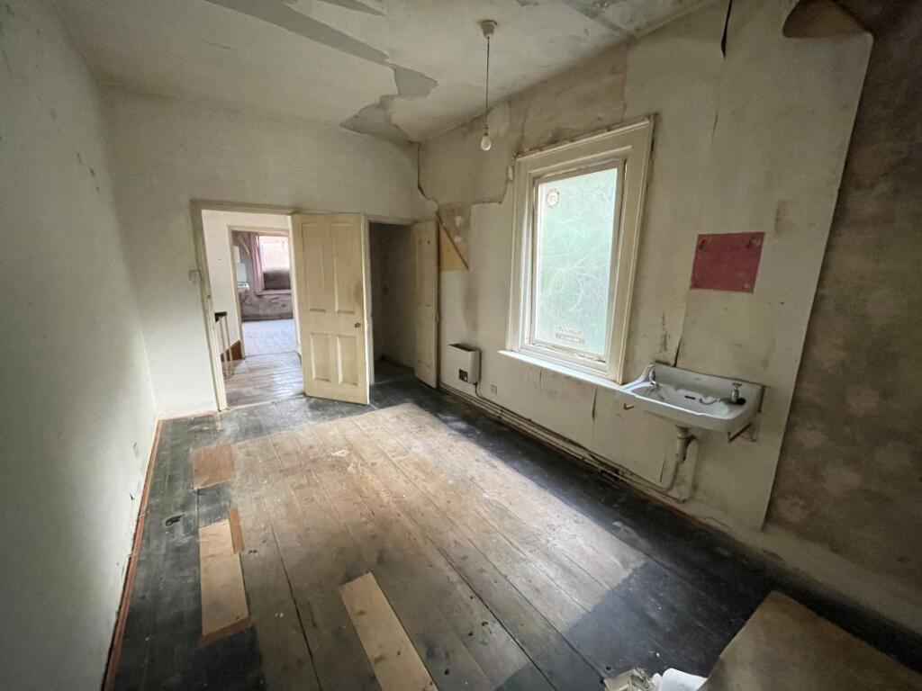
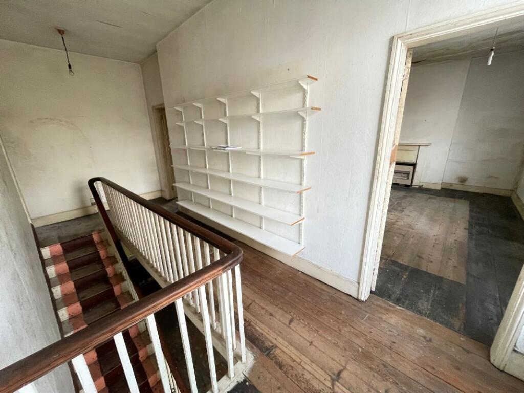
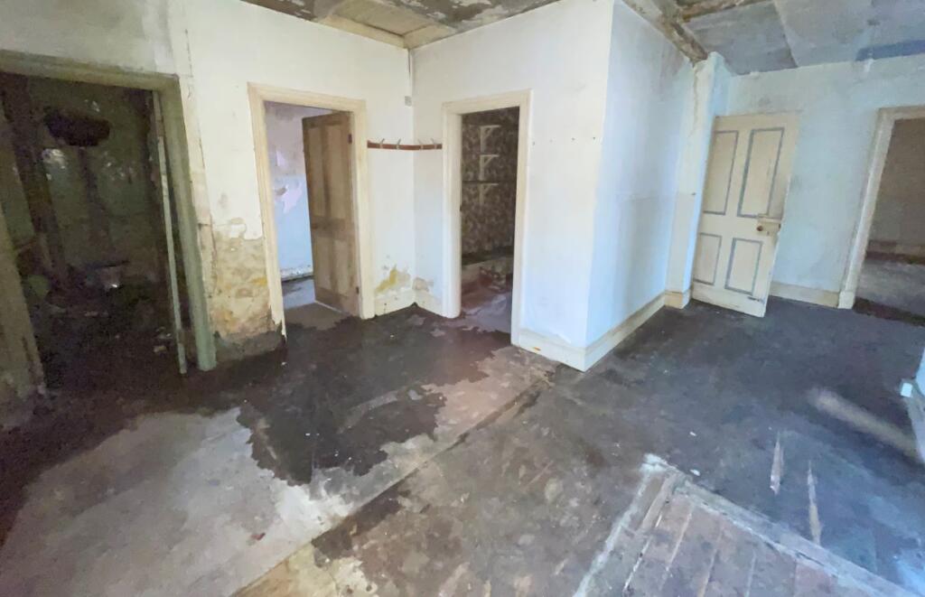
Photo 1 Photo 2 Photo 3 Photo 4 Photo 5 Photo 6 Photo 7 Photo 8 Photo 9 Photo 10 Photo 11 Photo 12 Photo 13 Photo 14
/ 14
Property details
Listing category
Auction
Tenure
FREEHOLD
Local average
£181,856 (-75.3%)
Deprivation
Decile 5 (15,369 of 33,755)
Street crime
40 incidents within 1 mile (Aug 2026)
Additional details
- Listed property
- No
- Restrictions
- No
- Required access
- No
- Rights of way
- No
- Flooded in last 5 years
- No
- Flood defences
- No
Description
For Sale By Public Auction 11th November 2026 09:30 AM To inspect the legal documents for this property go to our website to download the legal pack
A Vacant First and Second Floor Four Bedroom Split Level Maisonette in Need of Refurbishment.
By Order of the Executors
Tenure
Flying Freehold
Location
The property is situated on a residential road close to local shops and amenities. The open spaces of Ashbourne Park are within easy reach. Transport links are provided by the A52.
Description
The property comprises a first and second floor four bedroom split level maisonette situated within an end of terrace building arranged over ground and two upper floors.
Accommodation
First Floor
Two Reception Rooms
Kitchen
Second Floor
Four Bedrooms
Two Bathrooms
****EPC Rating
G
Open House Viewings:
Viewing Schedule (No Booking Required)
Saturday 7 November 12:00 - 12:30
Tuesday 10 November 12:00 - 12:30
Listed by
Hampstead
Auction House London
Reference: 94574877
Flood risk
Zone: 1
Risk: Low
Job (default Low)
Registered land (INSPIRE)
This location falls inside an HM Land Registry INSPIRE registered freehold polygon.
Building plot (shared): ~82 m² (0.02 acres) (area is for the building, not the flat)
Source: HM Land Registry INSPIRE Index Polygons.
Floorplans
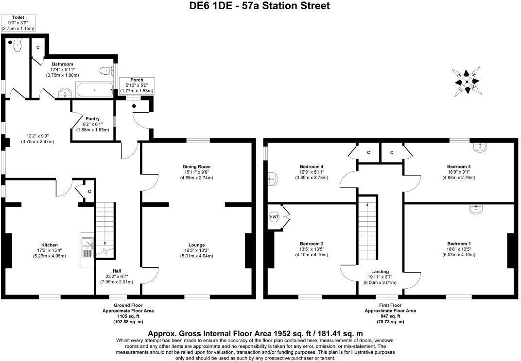
Floorplan 1
EPC Graphs
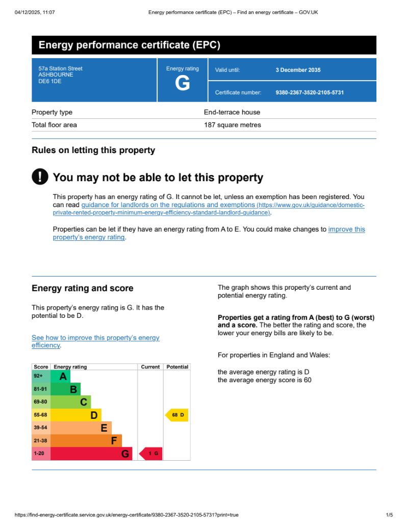
EPC 1
Price history
| Event | Date | Price | % change |
|---|---|---|---|
| Listed for sale | — | £45,000 | — |
Source: HM Land Registry Price Paid Data. Crown copyright.
Sold Comparables
Same street and nearby sales within 0.25 miles (last 5 years). Data from Land Registry Price Paid.
| Address | Price | Date | Type |
|---|---|---|---|
| ELIOT LODGE 18 KING EDWARD STREET, ASHBOURNE, DERBYSHIRE DALES, DERBYSHIRE, DE6 1TY | £310,000 | 19/12/2025 | Flat |
| ELIOT LODGE 19 KING EDWARD STREET, ASHBOURNE, DERBYSHIRE DALES, DERBYSHIRE, DE6 1TY | £187,500 | 17/12/2025 | Flat |
| 5 JAMES EADIE PLACE, ASHBOURNE, DERBYSHIRE DALES, DERBYSHIRE, DE6 1AA | £380,000 | 18/08/2023 | Flat |
| 1 JAMES EADIE PLACE, ASHBOURNE, DERBYSHIRE DALES, DERBYSHIRE, DE6 1AA | £395,000 | 06/03/2023 | Flat |
| ELIOT LODGE 33 KING EDWARD STREET, ASHBOURNE, DERBYSHIRE DALES, DERBYSHIRE, DE6 1TY | £234,950 | 01/06/2022 | Flat |
| THE COURTYARD 3 KING EDWARD STREET, ASHBOURNE, DERBYSHIRE DALES, DERBYSHIRE, DE6 1BW | £130,000 | 29/04/2022 | Flat |
| 1A SOUTH STREET, ASHBOURNE, DERBYSHIRE DALES, DERBYSHIRE, DE6 1DP | £100,000 | 19/04/2022 | Flat |
| ELIOT LODGE 19 KING EDWARD STREET, ASHBOURNE, DERBYSHIRE DALES, DERBYSHIRE, DE6 1TY | £234,950 | 31/03/2022 | Flat |
| ELIOT LODGE 10 KING EDWARD STREET, ASHBOURNE, DERBYSHIRE DALES, DERBYSHIRE, DE6 1TY | £322,300 | 17/01/2022 | Flat |
| ELIOT LODGE 2 KING EDWARD STREET, ASHBOURNE, DERBYSHIRE DALES, DERBYSHIRE, DE6 1TY | £309,950 | 30/11/2021 | Flat |
Area average: £260,465 (10 sales)
Capital growth trend
Land Registry outcode average: last 12 months vs 5y and 10y ago (from sold prices).
House Price Index (HM Land Registry — official index, not sold-price averages): Derbyshire Dales. Series: Flats and maisonettes. As of July 2026.
Rental Range
Estimated market rent for Derbyshire Dales. Low = conservative, Realistic = average, Optimistic = best case.
Based on Local Authority from postcode lookup → Derbyshire Dales.
LHA (30th percentile) floor for Peaks & Dales: £898/mo (Apr 2025 – Mar 2026)
Location
Address
A515
Nearby
Nearest stations, universities and amenities (distance from property).
| Type | Name | Distance |
|---|---|---|
| Hospital | Saint Oswald's Hospital | 0.1 miles |
| Shop | Paul Williamson | 0.1 miles |
| Bus stop | Hospital | 0.1 miles |
| Shop | ZMAesthetics | 0.2 miles |
| Train station | Alton Towers Car Park | 6.2 miles |
| University | University of Derby | 6.2 miles |
| Train station | Runaway Mine Train | 6.4 miles |
| Hospital | Cheadle Hosptal | 10.7 miles |
Street-level crime
| Category | Count |
|---|---|
| Violence and sexual offences | 18 |
| Public order | 5 |
| Criminal damage and arson | 4 |
| Other crime | 4 |
| Other theft | 2 |
| Vehicle crime | 2 |
| Anti-social behaviour | 1 |
| Drugs | 1 |
| Robbery | 1 |
| Shoplifting | 1 |
| Theft from the person | 1 |
| Total incidents | 40 |
Within 1 mile during Aug 2026. Source: data.police.uk (England & Wales).
Schools nearby
Nearest open schools with Ofsted ratings (England). Closed schools are not shown. Data from Get Information about Schools and Ofsted.
| Name | Type | Distance | Ofsted |
|---|---|---|---|
| St Oswald's CofE Primary School | Primary | 0.2 miles | Good — 28 Feb 2019 |
| Hilltop Primary Academy | Primary | 0.6 miles | Requires improvement — 9 Nov 2022 |
| Ashbourne Primary School | Primary | 0.6 miles | Good — 7 Apr 2022 |
| Queen Elizabeth's Grammar School | Secondary | 0.7 miles | Good — 26 Nov 2014 |
| Clifton CofE Primary School | Primary | 1.0 miles | Requires improvement — 18 Jan 2023 |
Rental Comparables
Rental comparables data is not available for this property.
Rent-driven metrics
Based on Area rent estimate.
- Rent ratio — Monthly rent ÷ purchase price (1% rule). 1%+ = strong, 0.8–1% = okay, <0.8% = weak for cashflow.
- Max investor price — Rent ÷ 0.8%; the price at which rent would be 0.8% of price (Stoke-style target).
- Target investor price — Rent ÷ 1%; the price at which rent would be 1% of price (strong cashflow band).
- Gross yield — Annual rent as % of purchase price (no costs).