Lynwood
CARMARTHEN, PWLLTRAP, CARMARTHENSHIRE SA33 4AL
DSC_0002 (1).JPG DSC_0004 (1).JPG DSC_0008 (1).JPG DSC_0005 (1).JPG DSC_0015 (1).JPG DSC_0026.JPG DSC_0025 (1).JPG DSC_0027 (1).JPG DSC_0024 (1).JPG DSC_0013.JPG DSC_0014 (1).JPG DSC_0012 (1).JPG DSC_0011 (1).JPG DSC_0018.JPG DSC_0017 (1).JPG DSC_0019 (1).JPG DSC_0022 (1).JPG DSC_0023 (1).JPG DSC_0016 (1).JPG DSC_0020 (1).JPG DSC_0021 (1).JPG DSC_0007.JPG DSC_0010 (1).JPG DSC_0003 (1).JPG
/ 24
Property details
Tenure
FREEHOLD
Last sold
£360,000 Apr 2022
Local average
£381,118 (-8.2%)
Street crime
10 incidents within 1 mile (May 2026)
Key features
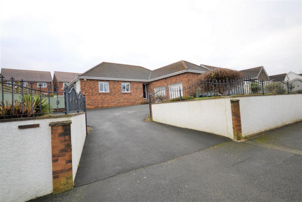
- Detached Bungalow
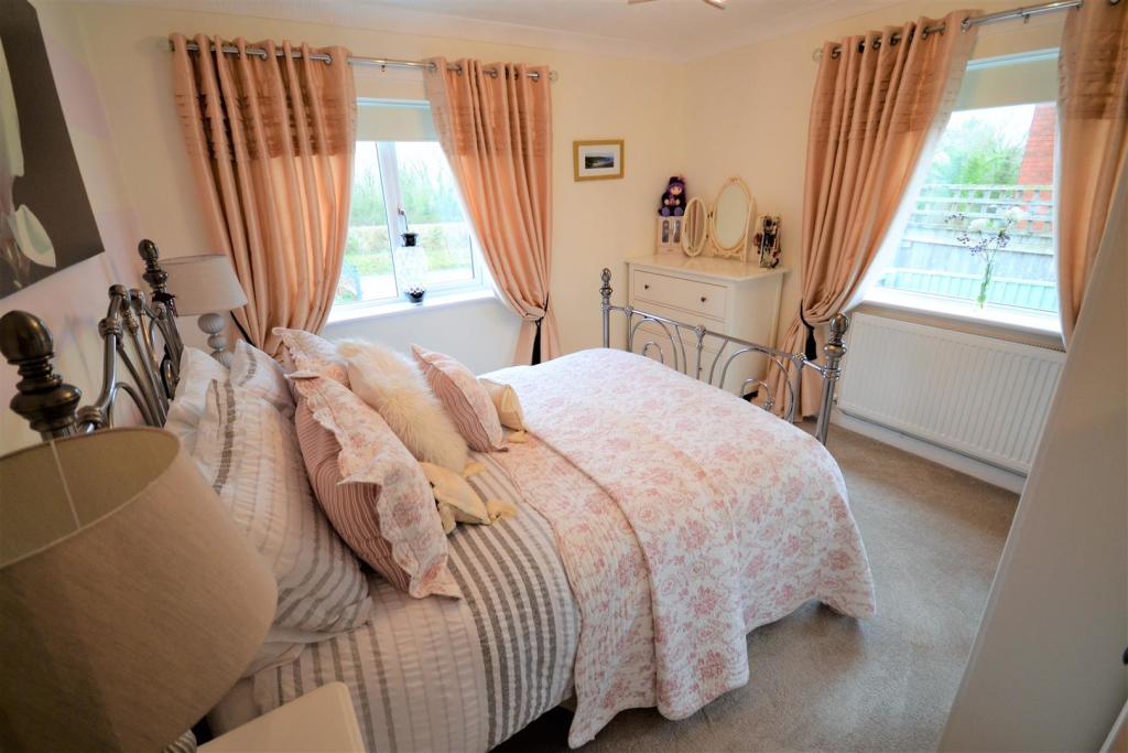
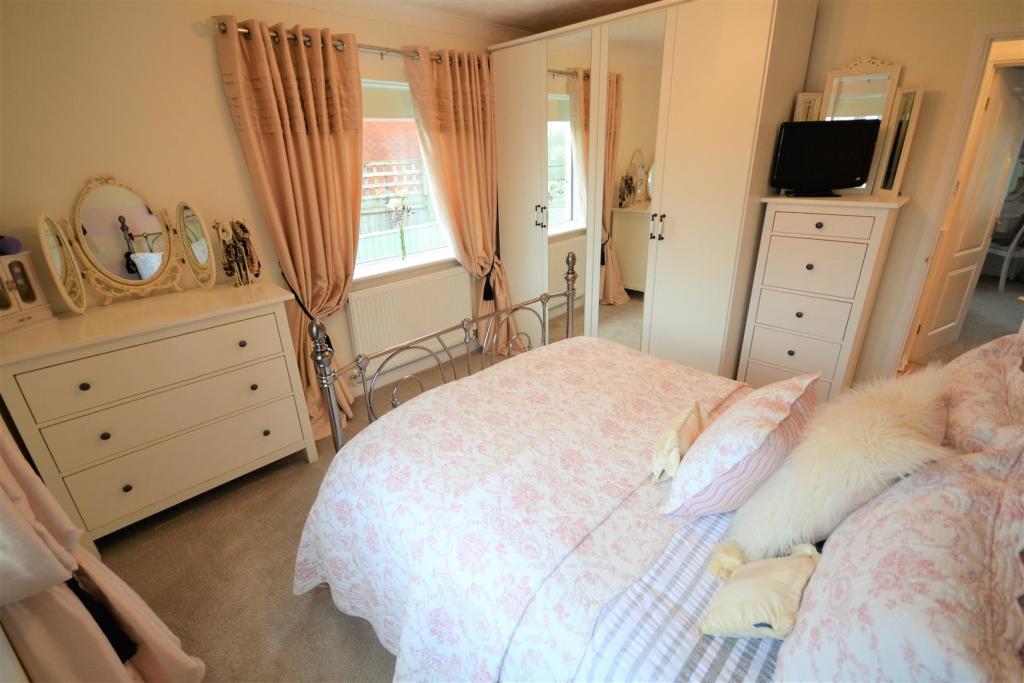
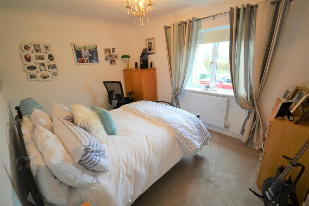
- Three Double Bedrooms
- Master En-suite
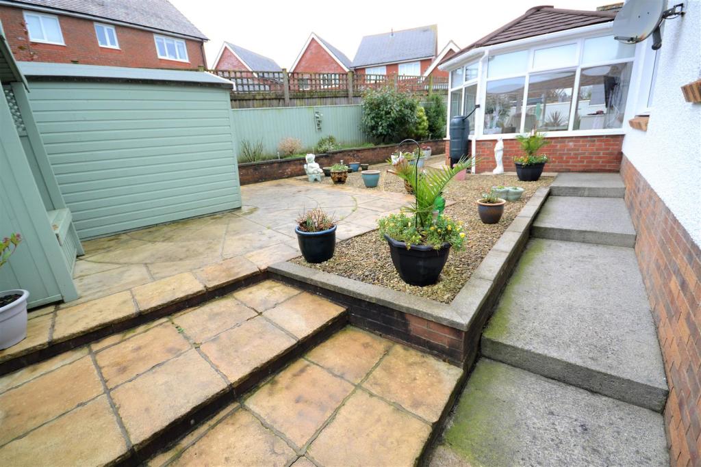
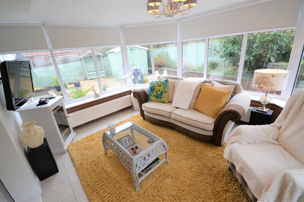
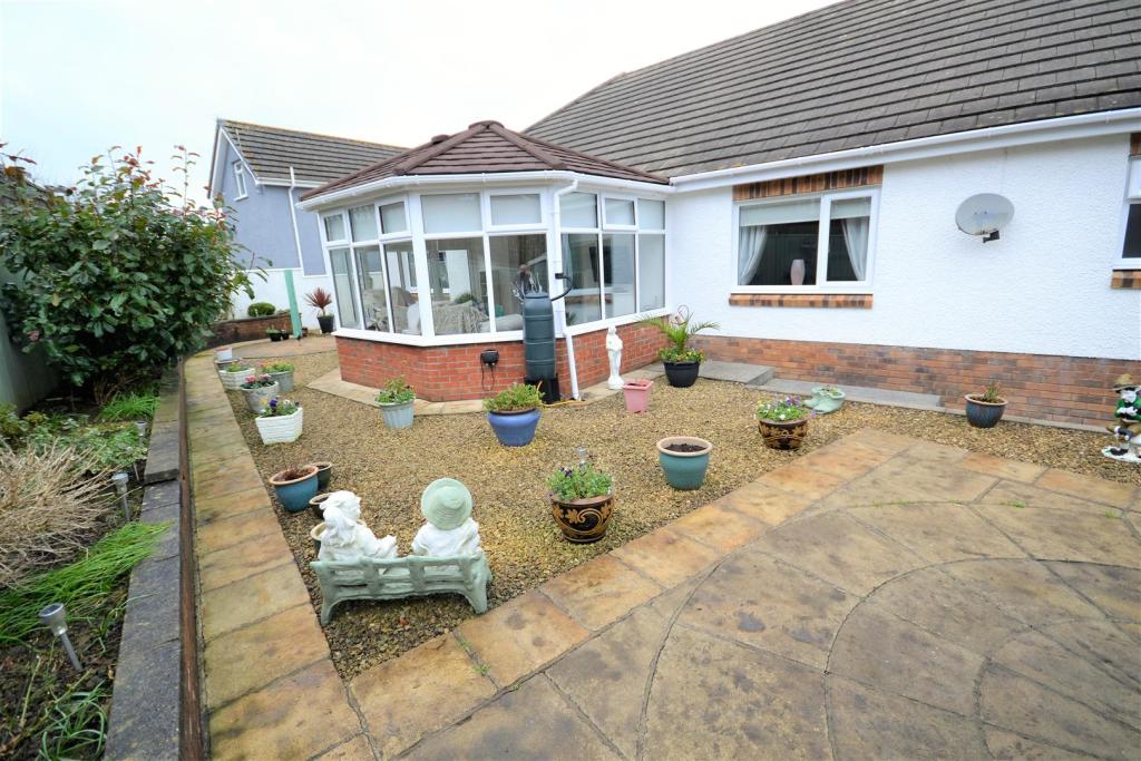
- Conservatory
- 24ft Lounge
- Beautifully Presented
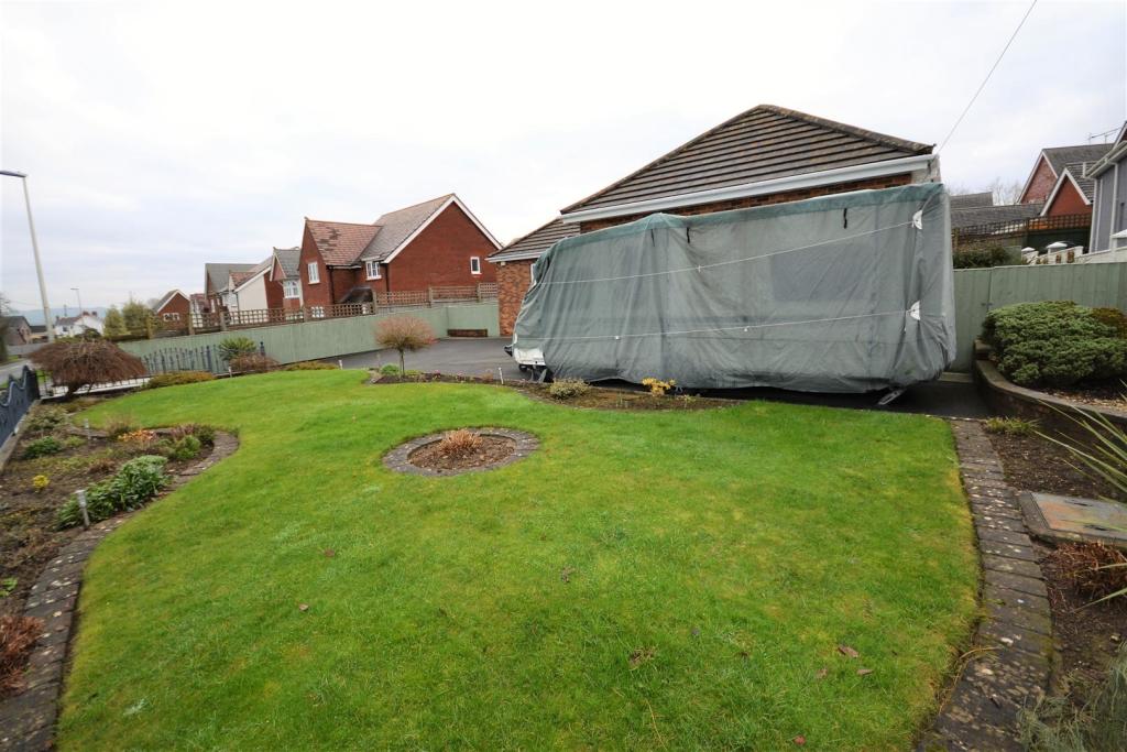
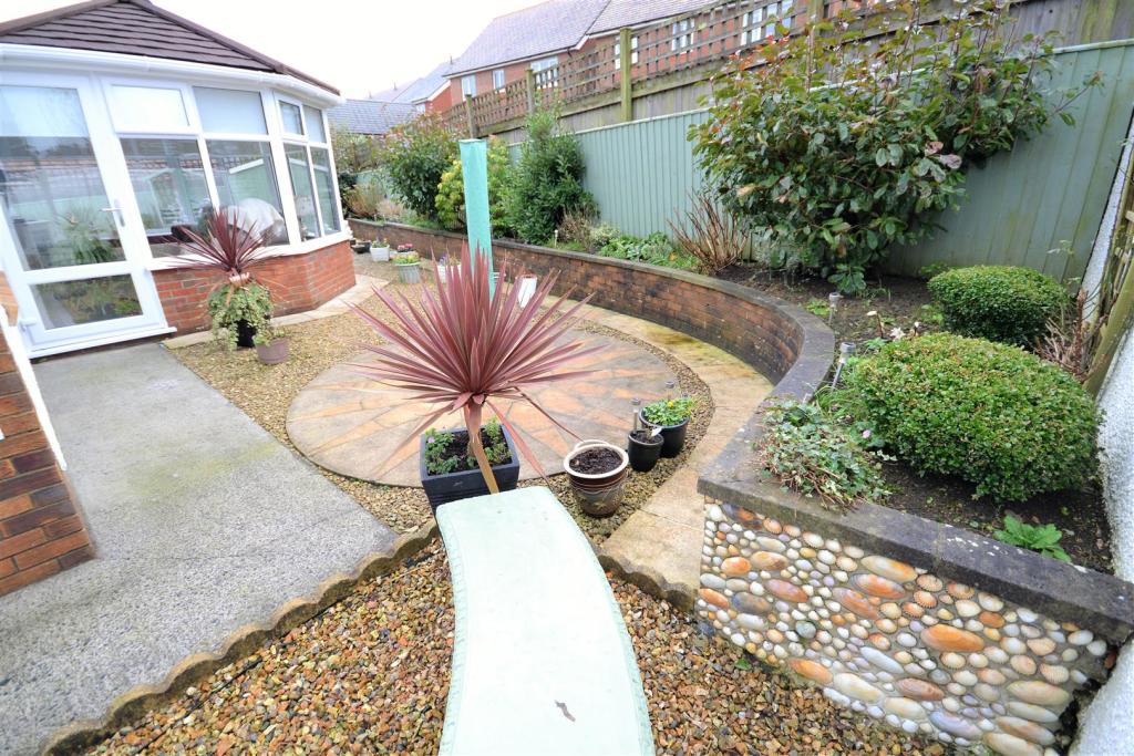
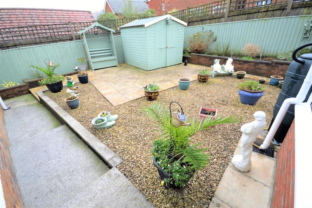
- Front And Rear Gardens
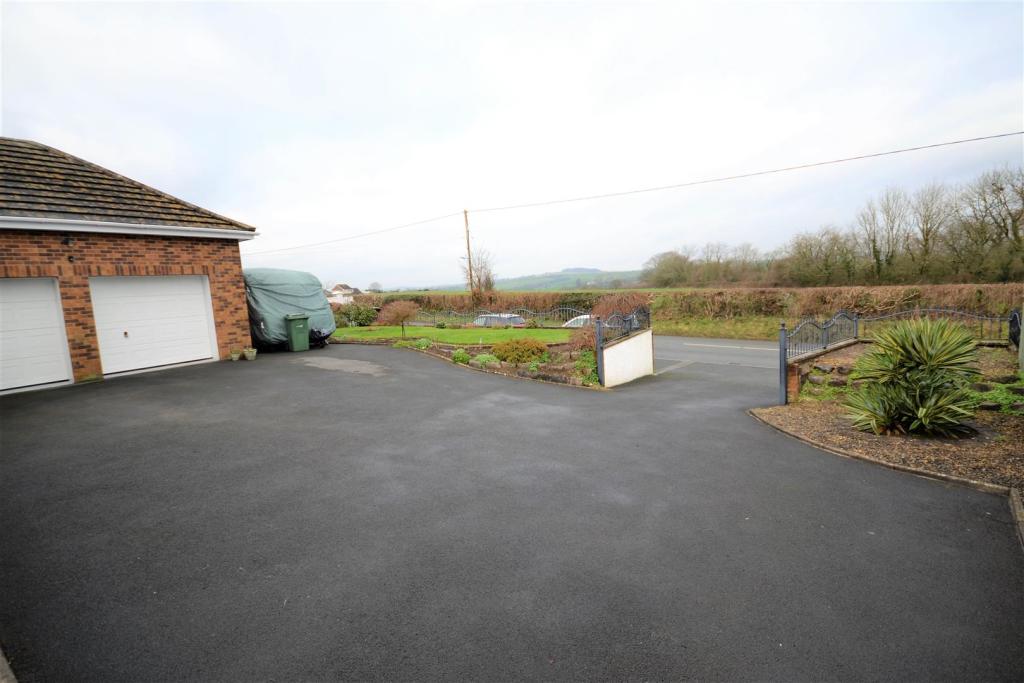
- Double Garage And Ample Parking
- Pleasant Location
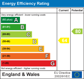
- EPC Rating: D
Additional details
- Parking
- Yes
- Garden
- Yes
Description
LOCATION:
The small market town of St. Clears is situated approximately 10 miles to the west of the county and administrative centre of Carmarthen. There are a variety of local shops including two prize-winning traditional butchers and two craft centres. The High Street is well served by numerous shops, pubs post office etc with a Welsh medium primary school and the picturesque parish Church also within the confines of the town. The local leisure centre is an excellent facility housing many of the towns clubs and associations.
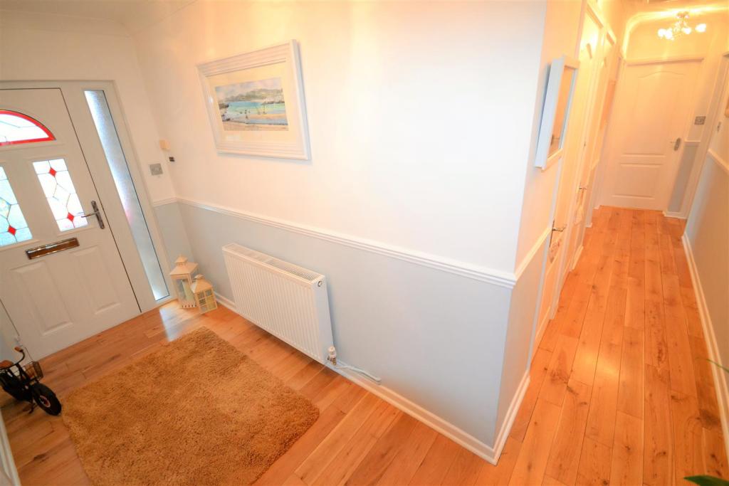
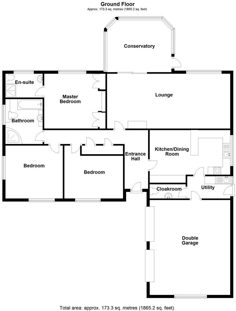
L Shape Entrance Hallway -
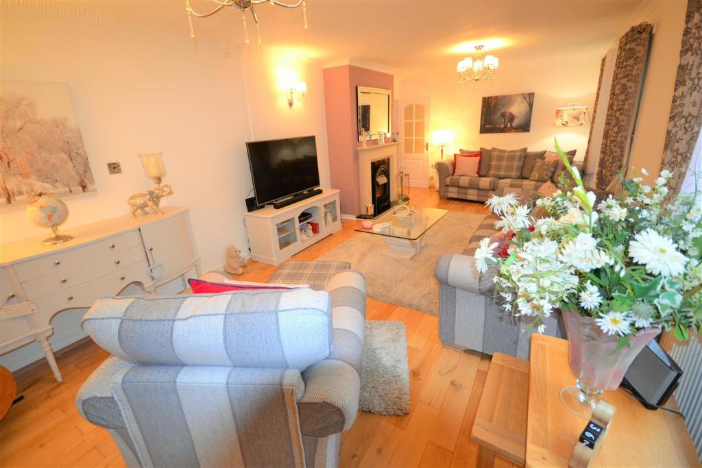
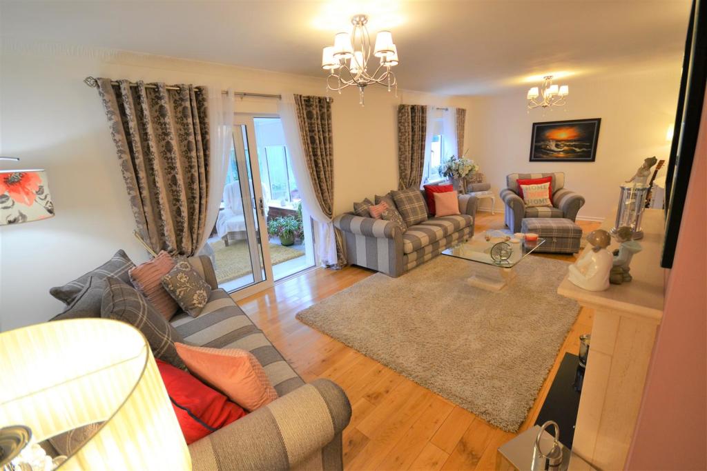
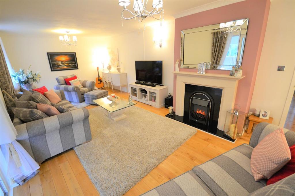
Lounge - 7.574 x 3.624 (24'10" x 11'10") -
Conservatory - 4.319 max x 3.464 max (14'2" max x 11'4" max) -
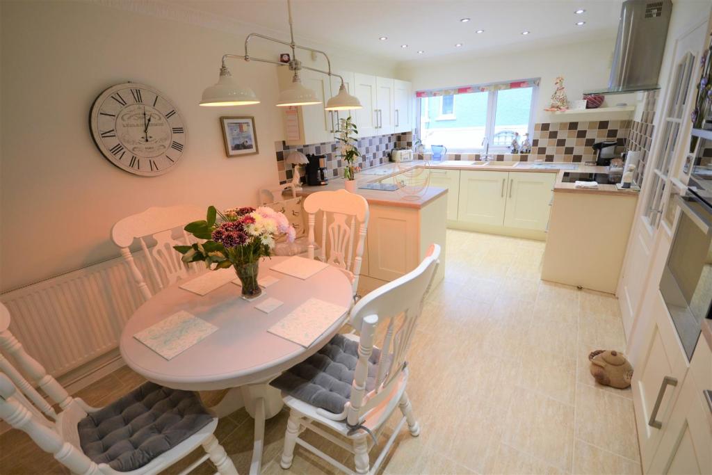
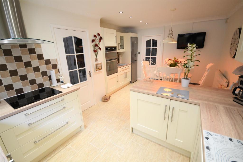
Kitchen/Diner - 5.342 max x 3.485 max (17'6" max x 11'5" max) -
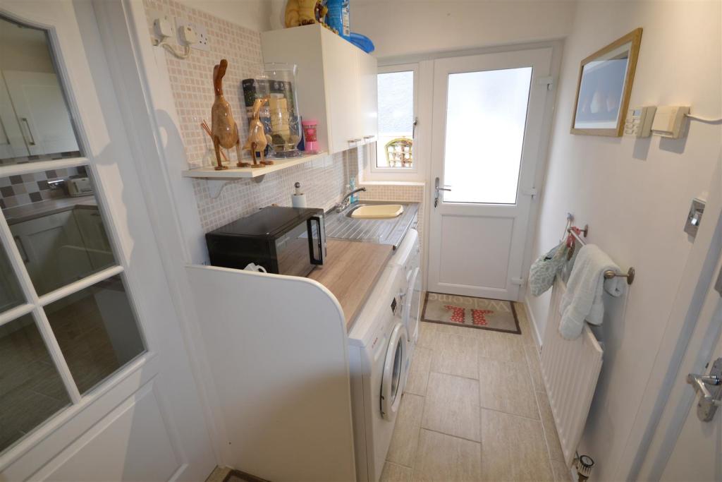
Utility Room - 2.878 x 1.504 (9'5" x 4'11") -
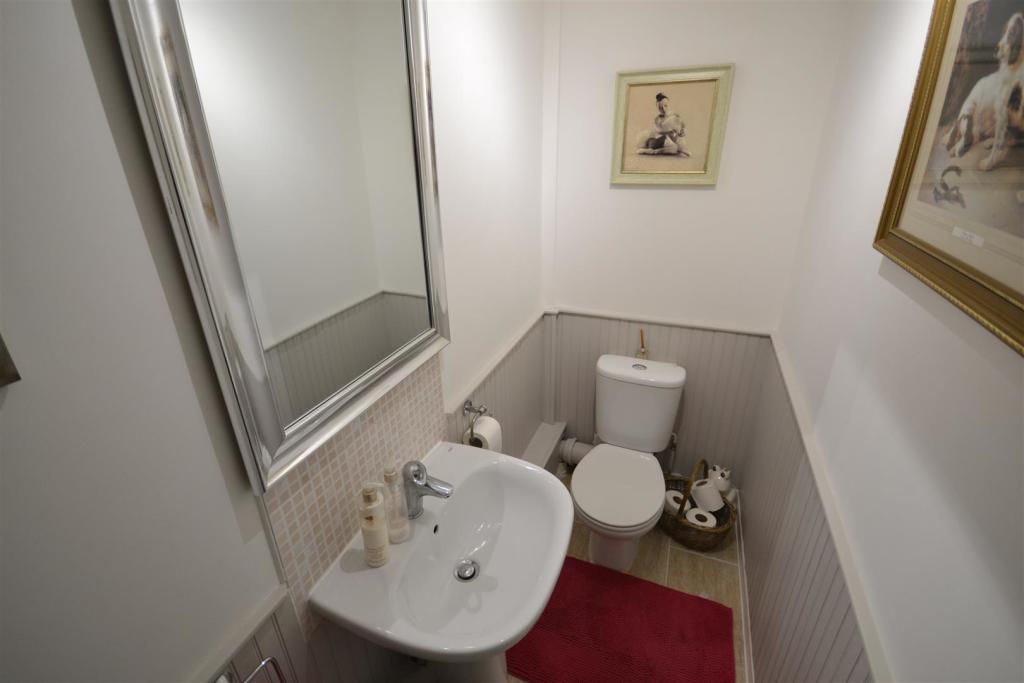
Cloakroom - 2.344 x 0.992 (7'8" x 3'3") -
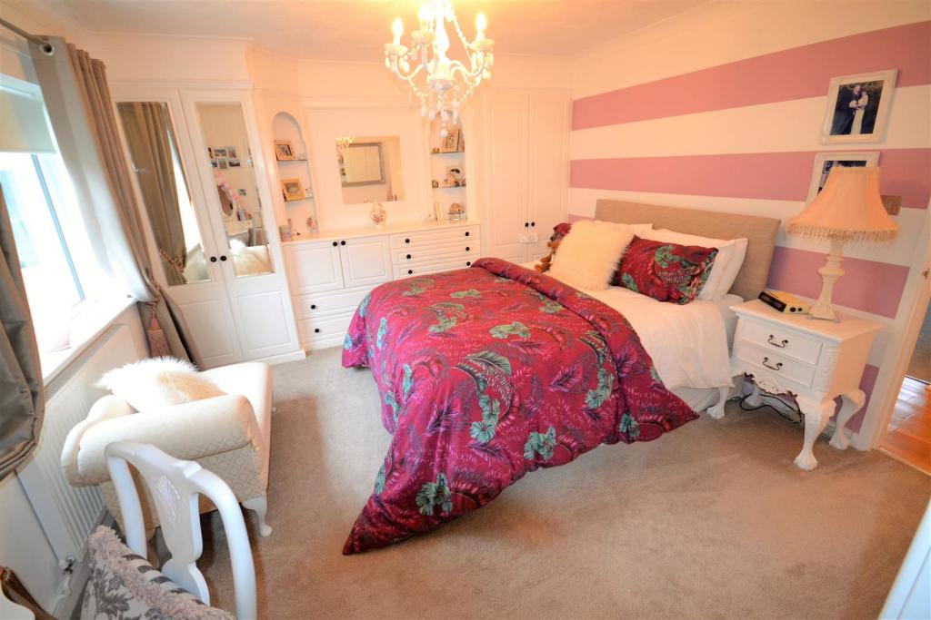
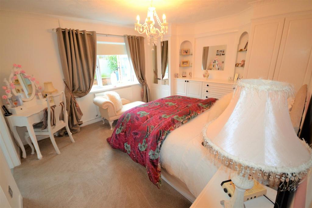
Master Bedroom - 4.048 max x 3.631 (13'3" max x 11'10") -
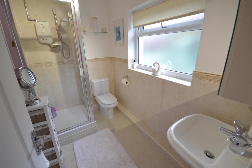
En-Suite - 2.466 x 1.567 (8'1" x 5'1") -
Bedroom - 3.516 x 3.418 (11'6" x 11'2") -
Bedroom - 3.524 into recess x 3.663 (11'6" into recess x 12' -
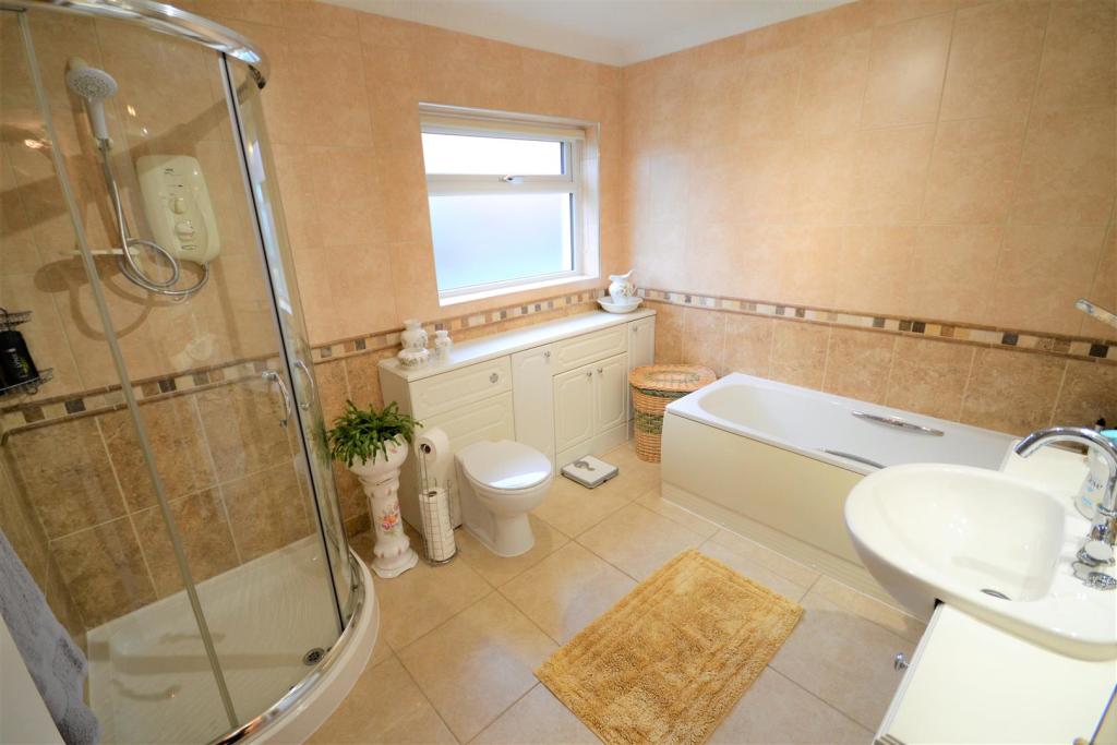
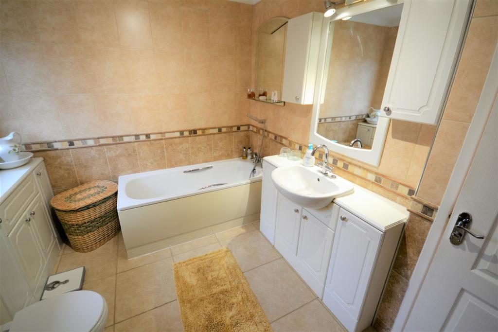
Bathroom - 2.984 x 2.464 (9'9" x 8'1") -
Double Garage - 6.312 x 5.335 (20'8" x 17'6") -
View: By appointment with the Agents
Services: We have not checked or tested any of the Services or Appliances
Tenure: FREEHOLD
Tax: Band F
MPO/MPO/OK/01/22
Listed by
Narbeth
Asks limited
Reference: 119058575
Flood risk
Zone: 1
Risk: Low
Job (default Low)
Floorplans
Floor Plan.JPG
EPC Graphs
EE Rating
Price history
232% since 1999
| Event | Date | Price | % change |
|---|---|---|---|
| Sold | 21/04/2022 (4 years ago) | £360,000 | +50% |
| Sold | 12/12/2016 (9 years ago) | £240,000 | 0% |
| Sold | 20/01/2006 (20 years ago) | £240,000 | +121.2% |
| Sold | 16/06/1999 (27 years ago) | £108,500 | — |
Source: HM Land Registry Price Paid Data. Crown copyright.
Sold Comparables
Same street and nearby sales within 0.25 miles (last 5 years). Data from Land Registry Price Paid.
| Address | Price | Date | Type |
|---|---|---|---|
| 12 CLOS NATHANIEL, ST CLEARS, CARMARTHEN, CARMARTHENSHIRE, SA33 4AW | £430,000 | 16/12/2025 | Detached |
| 24 PARC LLWYN CELYN, ST CLEARS, CARMARTHEN, CARMARTHENSHIRE, SA33 4EB | £330,000 | 12/11/2025 | Detached |
| CRUD YR AWEL LON WEN, PWLLTRAP, CARMARTHEN, CARMARTHENSHIRE, SA33 4BR | £220,000 | 18/07/2025 | Detached |
| 39 PARC LLWYN CELYN, ST CLEARS, CARMARTHEN, CARMARTHENSHIRE, SA33 4EB | £400,000 | 30/11/2022 | Detached |
| LLWYNTEG LON WEN, PWLLTRAP, CARMARTHEN, CARMARTHENSHIRE, SA33 4BR | £287,500 | 23/09/2022 | Detached |
| 13 PARC LLWYN CELYN, ST CLEARS, CARMARTHEN, CARMARTHENSHIRE, SA33 4EB | £315,000 | 06/05/2022 | Detached |
Area average: £330,417 (6 sales)
Capital growth trend
Land Registry outcode average: last 12 months vs 5y and 10y ago (from sold prices).
House Price Index (HM Land Registry — official index, not sold-price averages): Carmarthenshire. Series: Detached. As of April 2026.
Rental Range
Estimated market rent for Carmarthenshire. Low = conservative, Realistic = average, Optimistic = best case.
Based on Local Authority from postcode lookup → Carmarthenshire.
Location
Address
St Clears, Pwll-trap, Carmarthenshire, Wales, SA33 4EB, United Kingdom
Nearby
Nearest stations, universities and amenities (distance from property).
| Type | Name | Distance |
|---|---|---|
| Bus stop | Unknown | 0.1 miles |
| Shop | Nisa Local | 0.5 miles |
| Shop | Spar | 0.7 miles |
| Hospital | Ysbyty Werndale Private Hospital | 3.4 miles |
| Train station | Whitland | 4.3 miles |
| Train station | Ferryside | 7.2 miles |
Street-level crime
| Category | Count |
|---|---|
| Violence and sexual offences | 8 |
| Criminal damage and arson | 1 |
| Public order | 1 |
| Total incidents | 10 |
Within 1 mile during May 2026. Source: data.police.uk (England & Wales).
Schools nearby
Nearest open schools with Ofsted ratings (England). Closed schools are not shown. Data from Get Information about Schools and Ofsted.
| Name | Type | Distance | Ofsted |
|---|---|---|---|
| Westward House School | Other | 0.7 miles | — (No rating) |
| Ysgol Griffith Jones | Other | 1.1 miles | — (No rating) |
| Llanddowror V.C.P. School | Other | 1.5 miles | — (No rating) |
| Llangynin C.P. School | Other | 2.3 miles | — (No rating) |
| Meidrim C.P. School | Other | 3.0 miles | — (No rating) |
Rental Comparables
Loading rental comparables for this postcode. Refresh in a few minutes.
Rent-driven metrics
Based on Area rent estimate.
- Rent ratio — Monthly rent ÷ purchase price (1% rule). 1%+ = strong, 0.8–1% = okay, <0.8% = weak for cashflow.
- Max investor price — Rent ÷ 0.8%; the price at which rent would be 0.8% of price (Stoke-style target).
- Target investor price — Rent ÷ 1%; the price at which rent would be 1% of price (strong cashflow band).
- Gross yield — Annual rent as % of purchase price (no costs).
Enter House Number
Enter the house number to help us retrieve more accurate pricing history and property data.
Please log in to submit or correct the house number for this listing.
Log in to continue