68 REGINALD STREET
LUTON, LUTON LU2 7QZ
£325,000
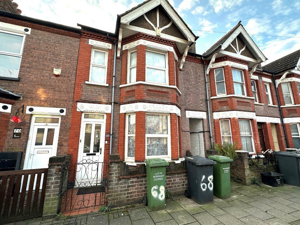
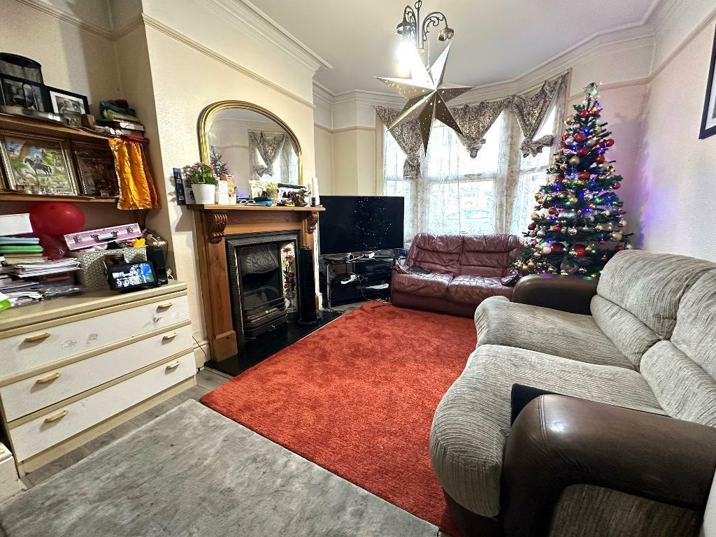
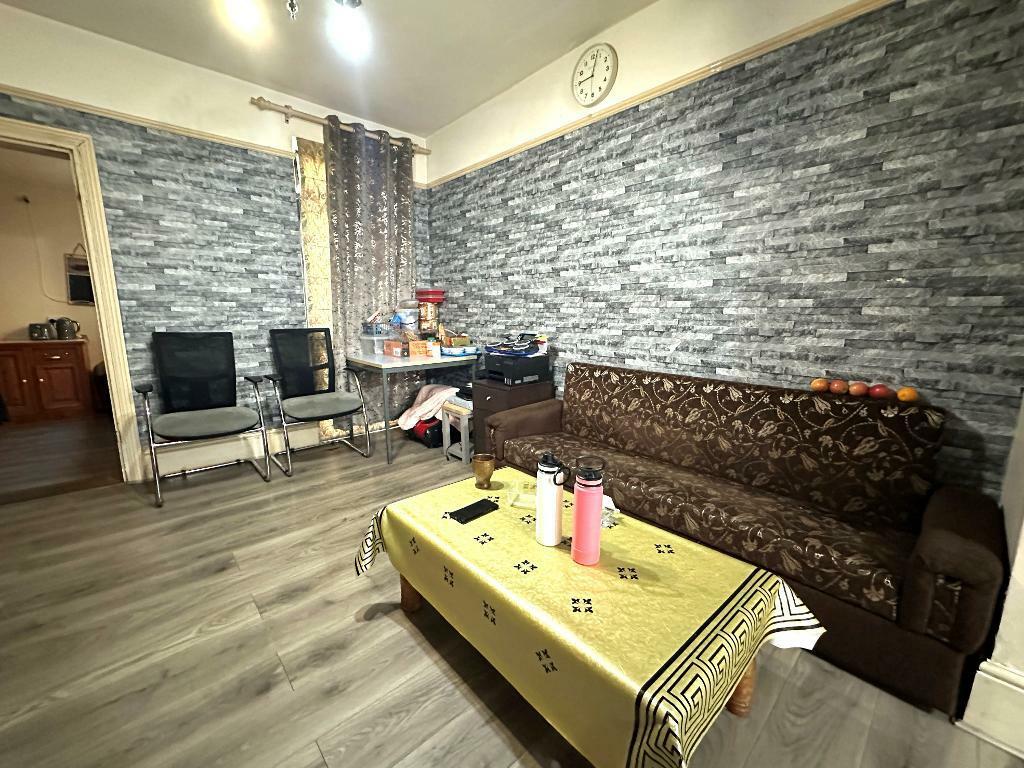
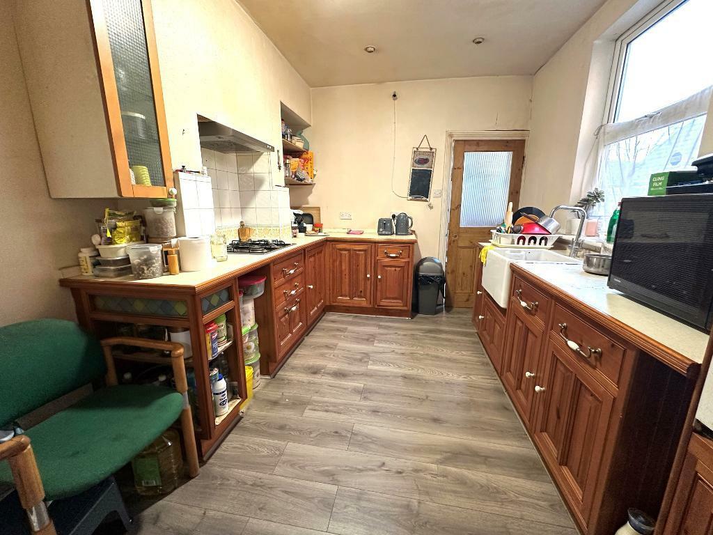
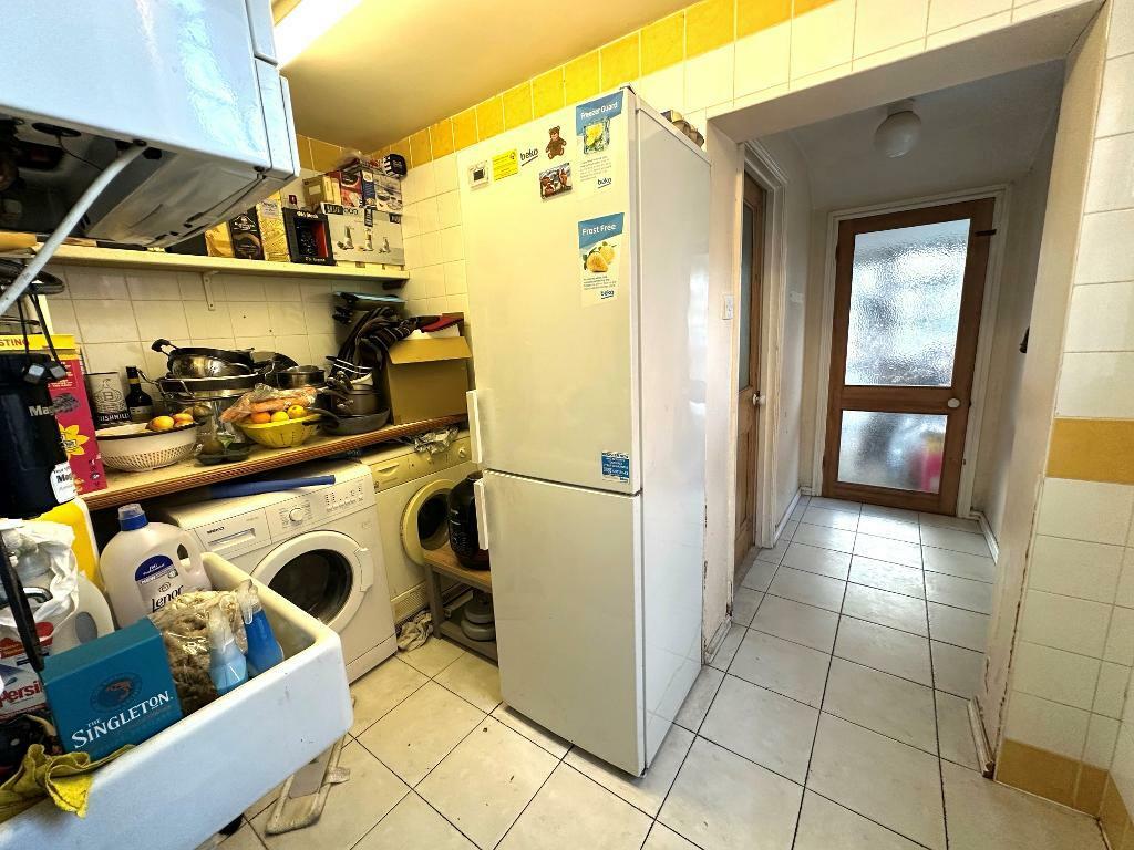
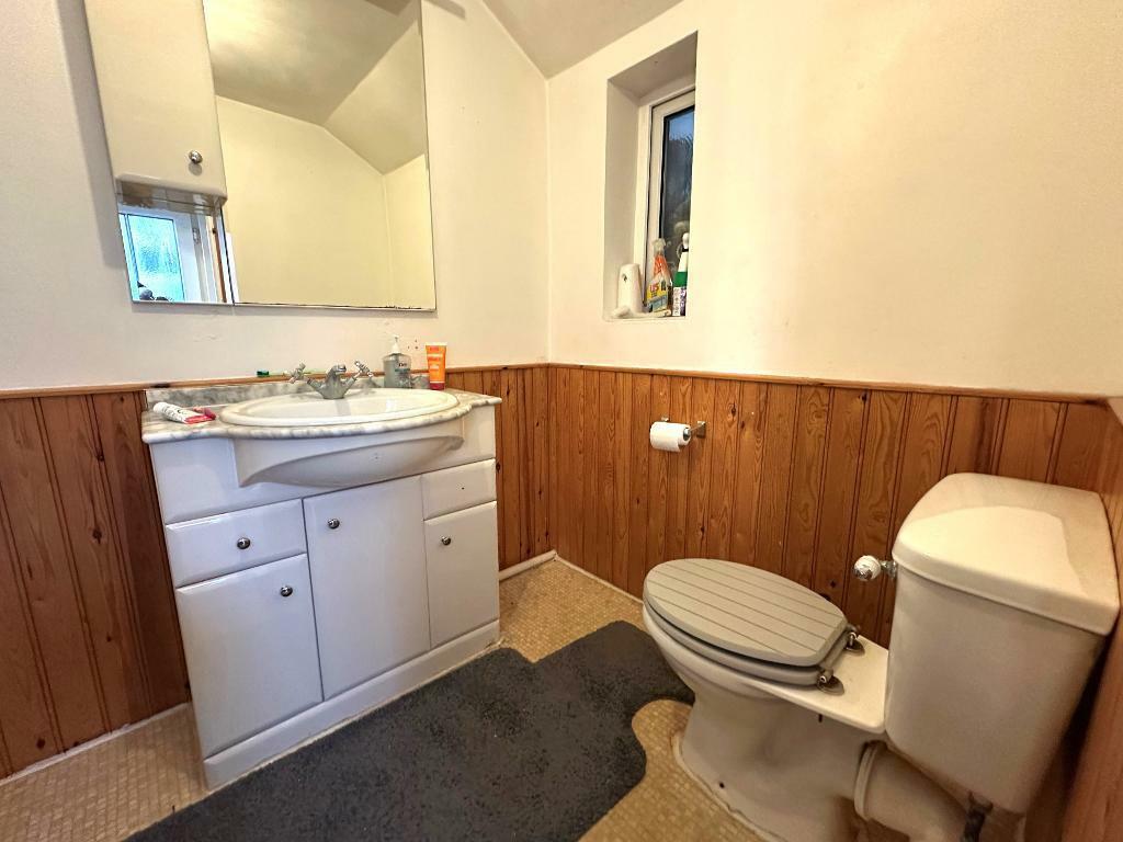
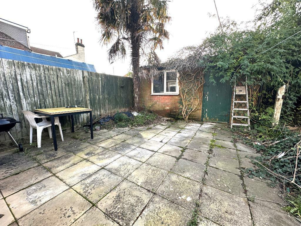
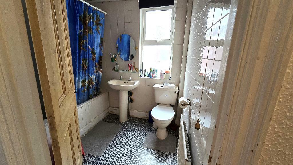
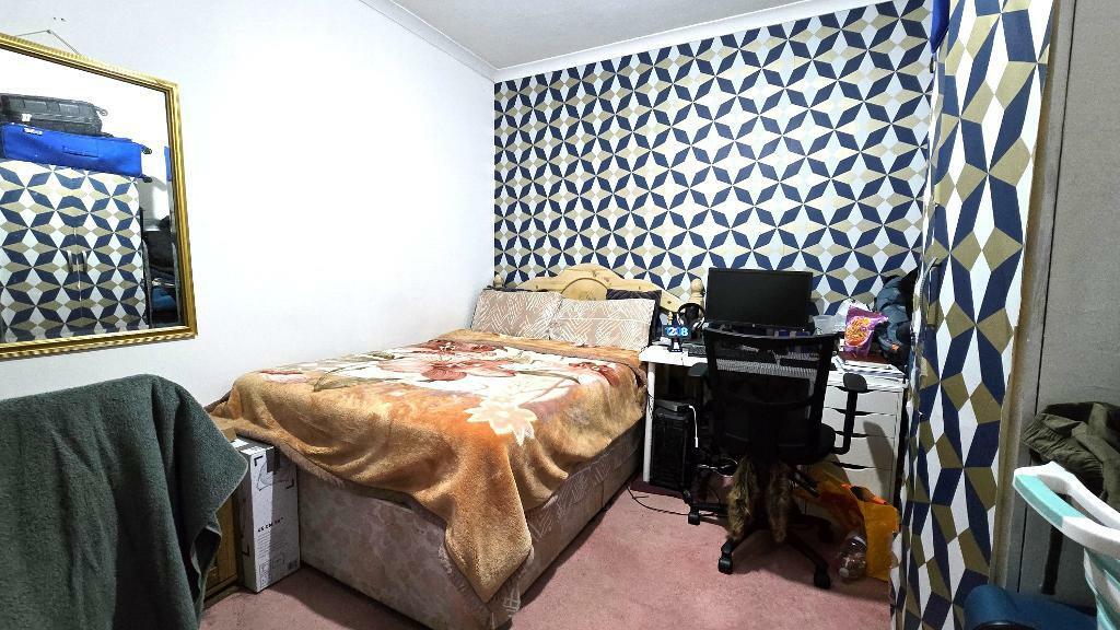
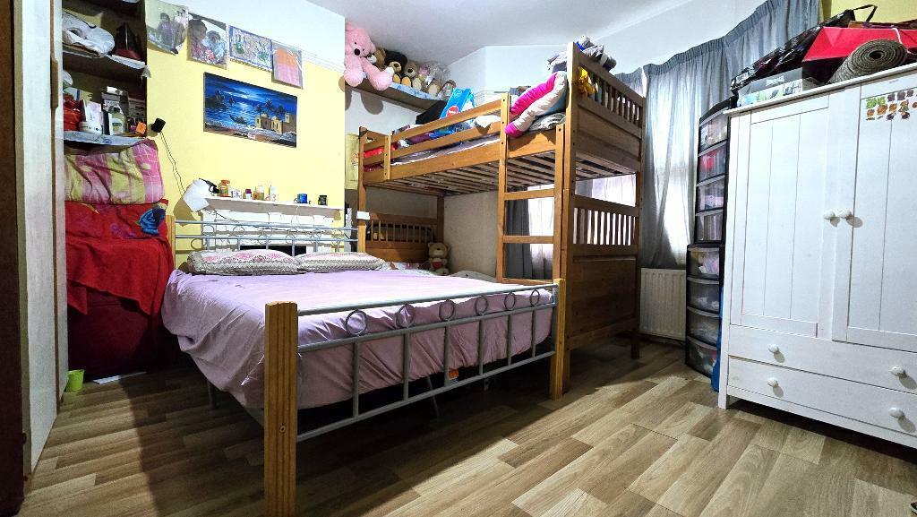
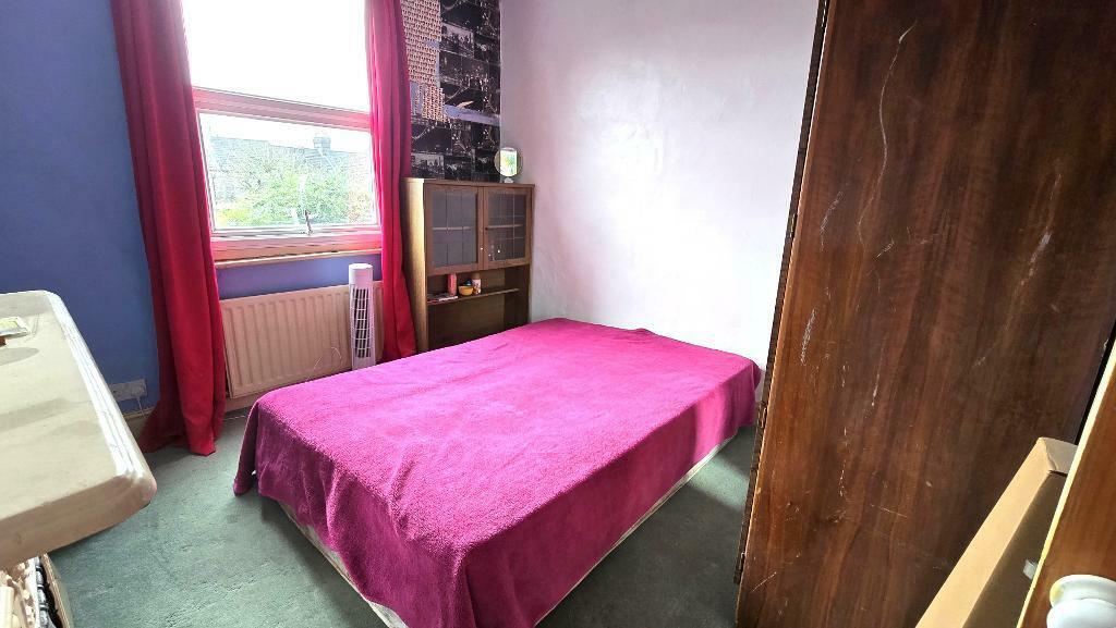
Photo 1 Photo 2 Photo 3 Photo 4 Photo 5 Photo 6 Photo 7 Photo 8 Photo 9 Photo 10 Photo 11
/ 11
Property details
Tenure
FREEHOLD
Floor area
104 m²
Council tax band
C
EPC rating
C
Year built
England and Wales: 1900-1929
Last sold
£314,135 Jul 2025
Price per m²
£3,125/m²
Local average
£273,625 (+18.8%)
Deprivation
Decile 3 (8,745 of 33,755)
Street crime
878 incidents within 1 mile (Apr 2026)
Key features
- L&D ESTATE AGENTS
- Three Bedroom Extended Terraced
- Well Proportioned Bedrooms
- Garage
- Currently Rented At £1400
- Walking Distance To Town & Station
- Close To Town Centre
- Local Shops Close By
- No Upper Chain Complications
- Must Be Viewed
Additional details
- Parking
- Yes
- Garden
- Yes
Description
The accommodation briefly comprises from an entrance porch & hallway, lounge/diner, kitchen, separate wc, utility room, conservatory, three well proportioned bedrooms, family bathroom, front & rear gardens & garage.
Reginald Street is located just off Old Bedford Road and is ideally located just under 0.5 miles from Luton Mainline Station with services to London, Bedford and beyond. It is also within walking distance into the town centre where many local shops and amenities can be found. Good schooling is provided locally via St Matthews Primary and Stopsley Secondary Schools.
Listed by
Covering Luton
L&D Estate Agents Ltd
Reference: 156370760
EPC Rating & Upgrade Cost
Current rating: C
Potential rating: B
Inspection date: 13/04/2022
Expiry date: 12/04/2032
Current heating cost: £598/year
Potential heating cost: £435/year
Est. upgrade cost to C: £19,500
Recommendations
- 50 mm internal or external wall insulation (£4,000 - £14,000)
- Floor insulation (suspended floor) (£800 - £1,200)
- Solar water heating (£4,000 - £6,000)
- Solar photovoltaic panels, 2.5 kWp (£3,500 - £5,500)
Flood risk
Zone: 1
Risk: Low
Job (default Low)
Floorplans
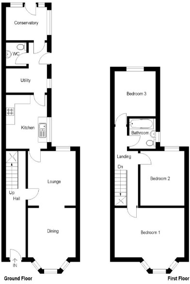
Floorplan 1
EPC Graphs

EPC 1
Price history
362% since 1999
| Event | Date | Price | % change |
|---|---|---|---|
| Sold | 23/07/2025 (11 months ago) | £314,135 | +92.7% |
| Sold | 13/07/2012 (13 years ago) | £163,000 | +139.9% |
| Sold | 09/11/1999 (26 years ago) | £67,950 | — |
Source: HM Land Registry Price Paid Data. Crown copyright.
Sold Comparables
Same street and nearby sales within 0.25 miles (last 5 years). Data from Land Registry Price Paid.
| Address | Price | Date | Type |
|---|---|---|---|
| 9 WILLIAM STREET, LUTON, LU2 7RE | £233,000 | 28/11/2025 | Terraced |
| 17 CLARENDON ROAD, LUTON, LU2 7PQ | £280,000 | 12/11/2025 | Terraced |
| 99 OLD BEDFORD ROAD, LUTON, LU2 7PF | £299,000 | 24/10/2025 | Terraced |
| 31 ELGAR PATH, LUTON, LU2 7RJ | £305,000 | 21/02/2025 | Terraced |
| Same street LATHWELL COURT FLAT 9 REGINALD STREET, LUTON, LU2 7QZ | £124,000 | 16/10/2023 | Flat |
| 82 OLD BEDFORD ROAD, LUTON, LU2 7PD | £260,000 | 19/07/2023 | Terraced |
| Same street LATHWELL COURT FLAT 6 REGINALD STREET, LUTON, LU2 7QZ | £113,000 | 03/07/2023 | Flat |
| 57 FREDERICK STREET, LUTON, LU2 7QW | £305,000 | 16/06/2023 | Terraced |
| 22 FREDERICK STREET, LUTON, LU2 7QS | £170,000 | 09/06/2023 | Terraced |
| 69 CLARENDON ROAD, LUTON, LU2 7PJ | £282,000 | 05/05/2023 | Terraced |
| 25 WILLIAM STREET, LUTON, LU2 7RF | £268,000 | 19/04/2023 | Terraced |
| Same street LATHWELL COURT FLAT 2 REGINALD STREET, LUTON, LU2 7QZ | £110,000 | 04/04/2023 | Flat |
| 87 BUTTERWORTH PATH, LUTON, LU2 0TR | £310,000 | 24/03/2023 | Terraced |
| 53 FREDERICK STREET, LUTON, LU2 7QW | £250,000 | 16/12/2022 | Terraced |
| Same street 22 REGINALD STREET, LUTON, LU2 7QZ | £285,000 | 29/11/2022 | Terraced |
| Same street 3 REGINALD STREET, LUTON, LU2 7QZ | £230,000 | 21/11/2022 | Terraced |
| Same street 43B REGINALD STREET, LUTON, LU2 7QZ | £236,000 | 17/11/2022 | Terraced |
| 71 HAVELOCK ROAD, LUTON, LU2 7PW | £310,000 | 09/11/2022 | Terraced |
| 43 FREDERICK STREET, LUTON, LU2 7QW | £250,000 | 11/10/2022 | Terraced |
| 19 CLARENDON ROAD, LUTON, LU2 7PQ | £325,000 | 22/08/2022 | Terraced |
| 51 FREDERICK STREET, LUTON, LU2 7QW | £245,000 | 15/07/2022 | Terraced |
| Same street 32A REGINALD STREET, LUTON, LU2 7QZ | £180,000 | 07/07/2022 | Flat |
| Same street 32B REGINALD STREET, LUTON, LU2 7QZ | £135,000 | 07/07/2022 | Flat |
| 86 REGINALD STREET, LUTON, LU2 7RB | £270,000 | 10/06/2022 | Terraced |
| 120 OLD BEDFORD ROAD, LUTON, LU2 7PD | £239,000 | 01/06/2022 | Terraced |
| 9 WENSLEYDALE, LUTON, LU2 7PN | £279,000 | 06/05/2022 | Terraced |
| Same street 5 REGINALD STREET, LUTON, LU2 7QZ | £232,000 | 14/01/2022 | Terraced |
| 112 REGINALD STREET, LUTON, LU2 7RB | £285,000 | 06/01/2022 | Terraced |
| 50 FREDERICK STREET, LUTON, LU2 7QS | £240,000 | 14/12/2021 | Terraced |
Street average: £182,778 (9 sales)
Area average: £270,250 (20 sales)
Capital growth trend
Land Registry outcode average: last 12 months vs 5y and 10y ago (from sold prices).
House Price Index (HM Land Registry — official index, not sold-price averages): Luton. Series: Terraced. As of March 2026.
Rental Range
Estimated market rent for Luton. Low = conservative, Realistic = average, Optimistic = best case.
Based on Local Authority from postcode lookup → Luton.
LHA (30th percentile) floor for Luton: £1,097/mo (Apr 2025 – Mar 2026)
Location
Nearby
Nearest stations, universities and amenities (distance from property).
| Type | Name | Distance |
|---|---|---|
| Shop | R V News | 0.0 miles |
| Shop | Clarendon Stores | 0.1 miles |
| Bus stop | Knights Field | 0.2 miles |
| Train station | Luton | 0.3 miles |
| Bus stop | Luton Station | 0.3 miles |
| University | University of Bedfordshire | 0.7 miles |
| Train station | Luton Airport Parkway | 1.3 miles |
| Hospital | Widecombe Nursing Home | 2.2 miles |
| Hospital | Luton and Dunstable Hospital | 2.6 miles |
Street-level crime
| Category | Count |
|---|---|
| Violence and sexual offences | 309 |
| Anti-social behaviour | 121 |
| Other theft | 73 |
| Shoplifting | 67 |
| Vehicle crime | 66 |
| Public order | 65 |
| Criminal damage and arson | 51 |
| Drugs | 42 |
| Other crime | 23 |
| Robbery | 18 |
| Burglary | 15 |
| Bicycle theft | 10 |
| Theft from the person | 10 |
| Possession of weapons | 8 |
| Total incidents | 878 |
Within 1 mile during Apr 2026. Source: data.police.uk (England & Wales).
Schools nearby
Nearest open schools with Ofsted ratings (England). Closed schools are not shown. Data from Get Information about Schools and Ofsted.
| Name | Type | Distance | Ofsted |
|---|---|---|---|
| St Matthew's Primary School | Primary | 0.2 miles | Good — 12 Oct 2023 |
| Richmond Hill School | Other | 0.3 miles | Good — 11 Dec 2019 |
| Windmill Hill School | Other | 0.3 miles | Inadequate — 24 Apr 2024 |
| Bury Park Educational Institute (Al - Hikmah Secondary School) | Other | 0.5 miles | — (No rating) |
| Denbigh High School | Secondary | 0.5 miles | Outstanding — 25 Jan 2024 |
Rental Comparables
Rental listings exist nearby, but none matched the 3-bedroom count for this property.
Rent-driven metrics
Based on Area rent estimate.
- Rent ratio — Monthly rent ÷ purchase price (1% rule). 1%+ = strong, 0.8–1% = okay, <0.8% = weak for cashflow.
- Max investor price — Rent ÷ 0.8%; the price at which rent would be 0.8% of price (Stoke-style target).
- Target investor price — Rent ÷ 1%; the price at which rent would be 1% of price (strong cashflow band).
- Gross yield — Annual rent as % of purchase price (no costs).