12 GRANGE GARDENS
WARE, HERTFORDSHIRE SG12 9ND
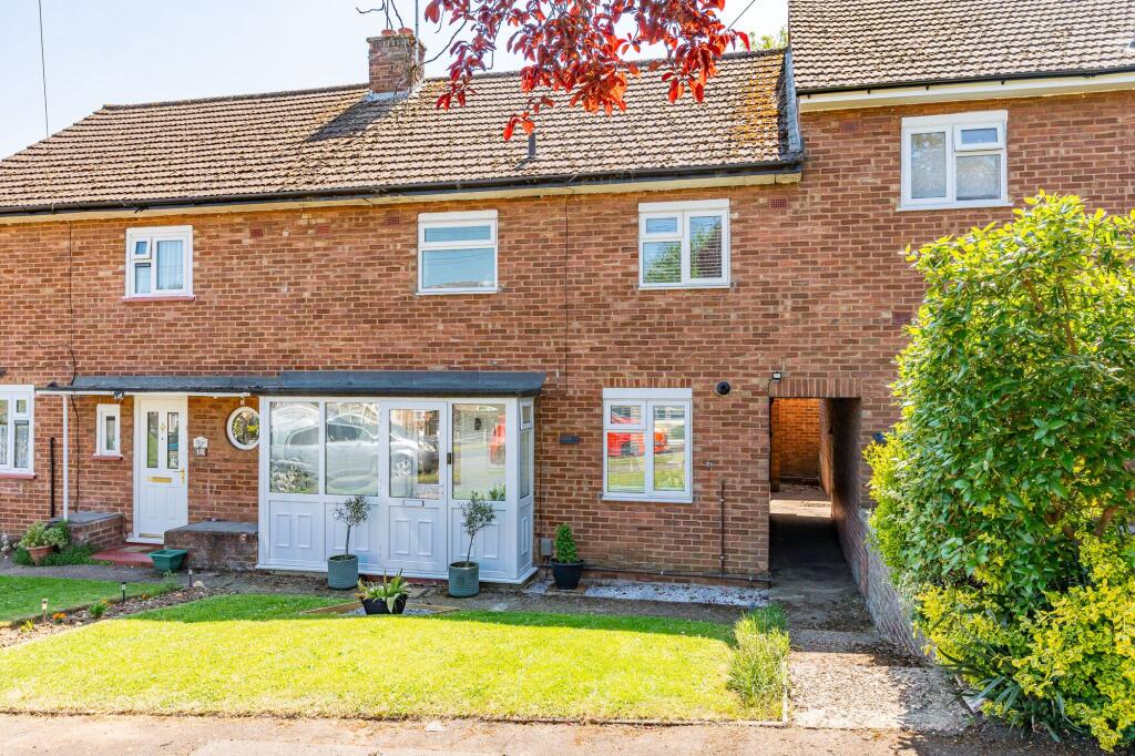
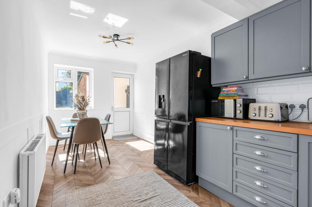
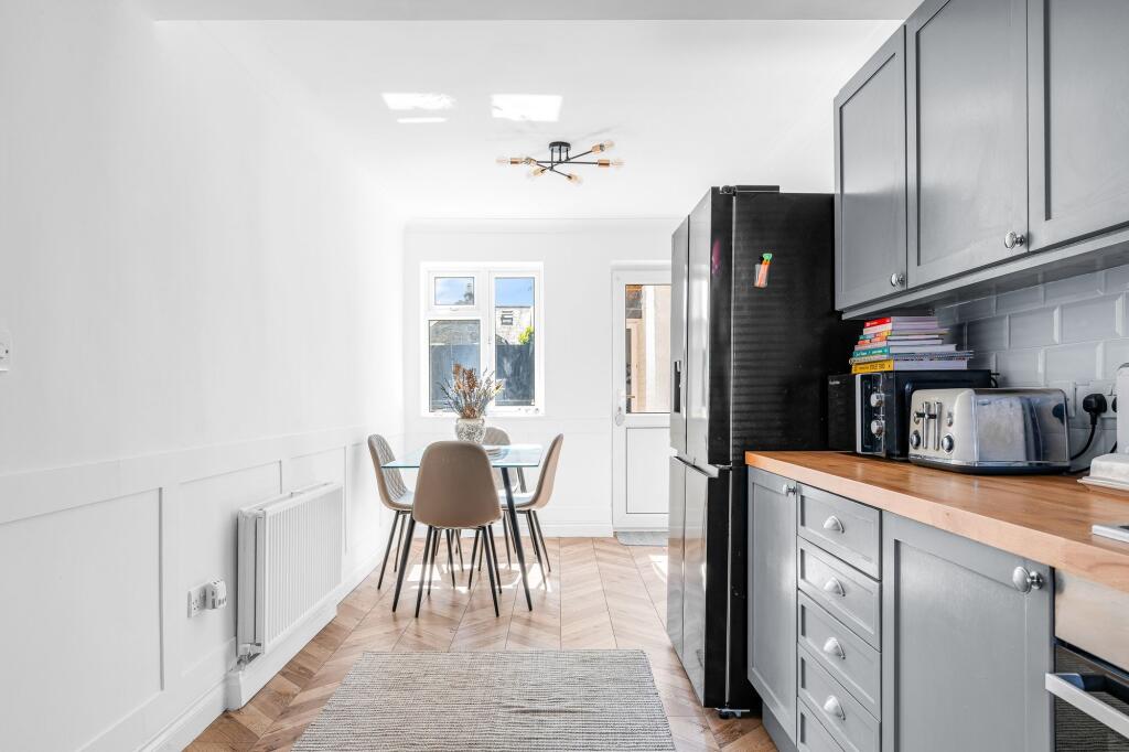
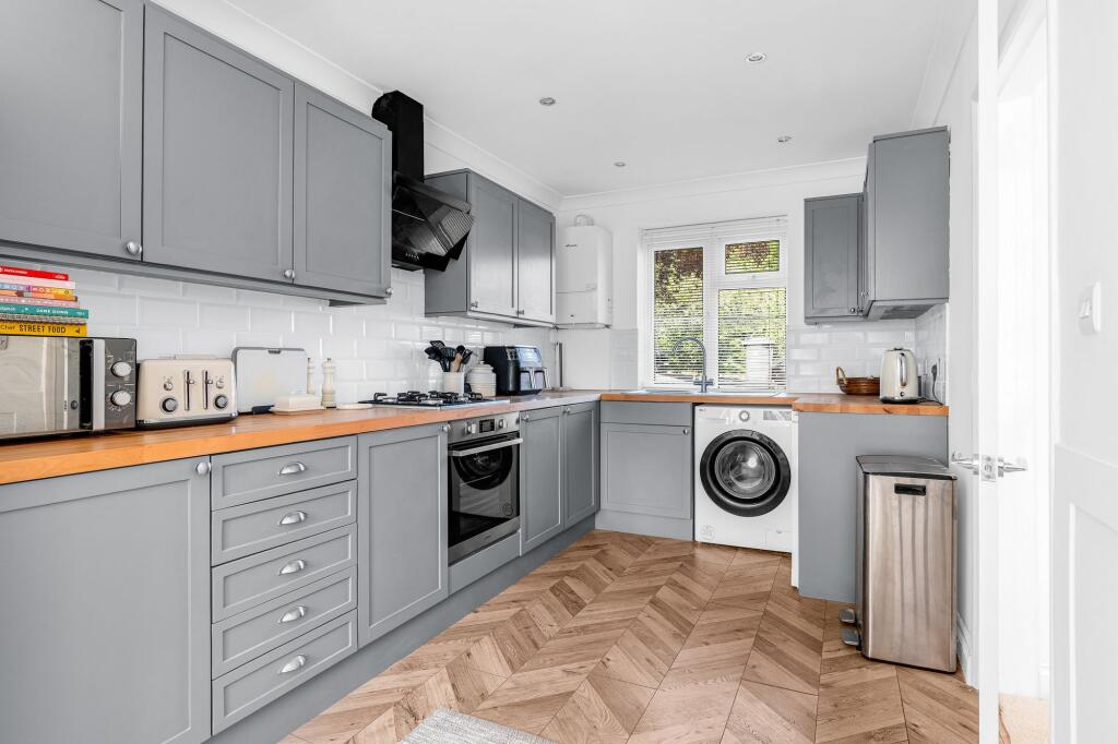
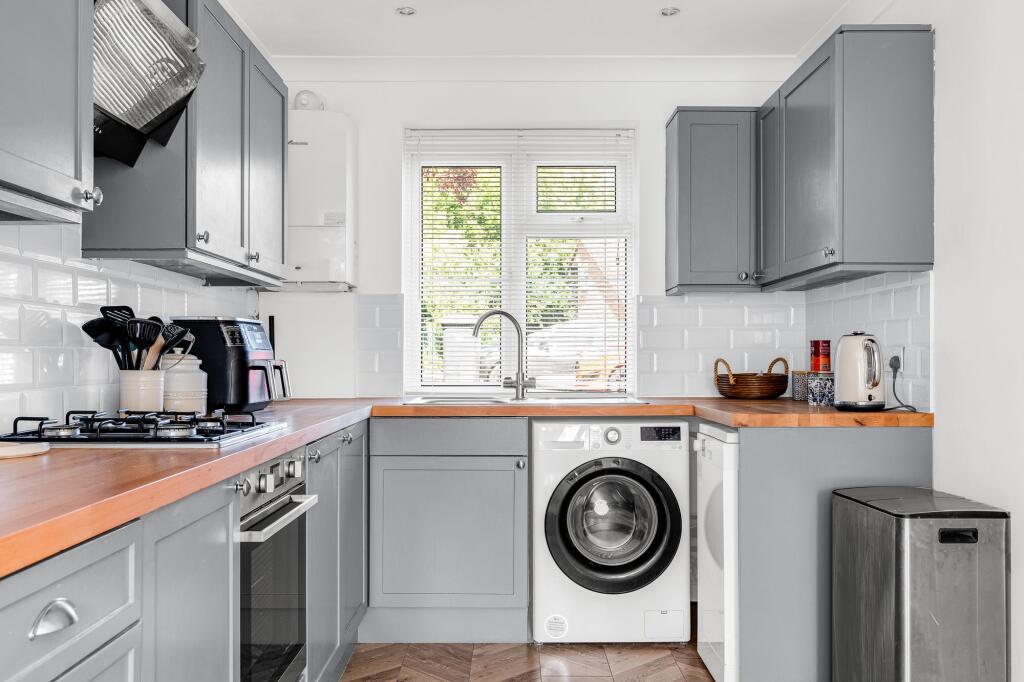
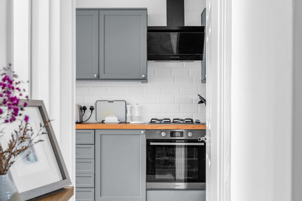
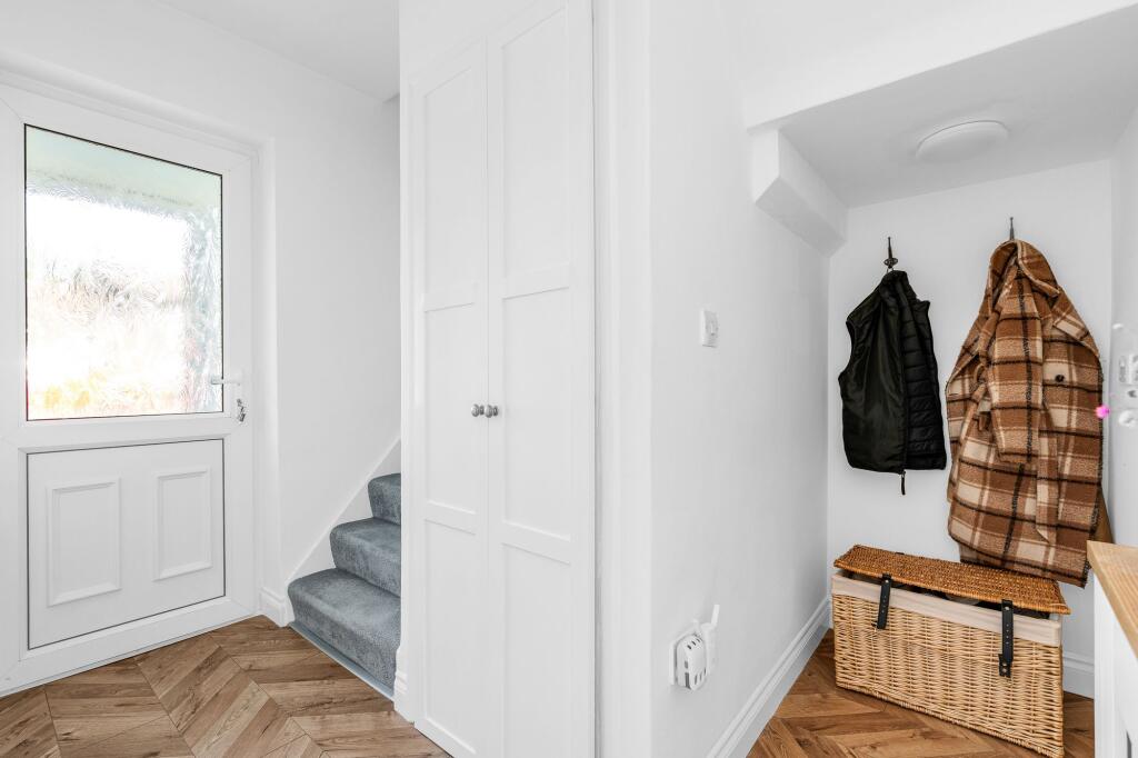
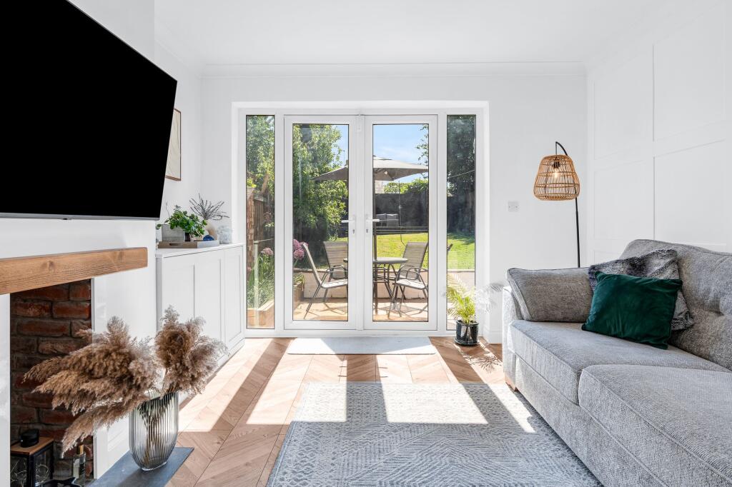
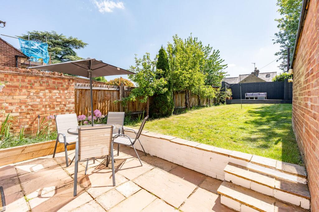
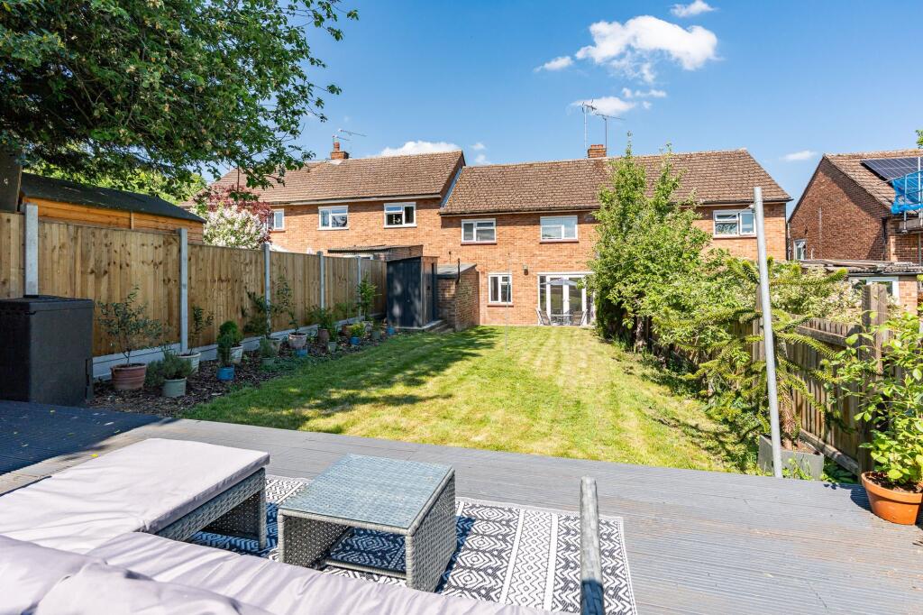
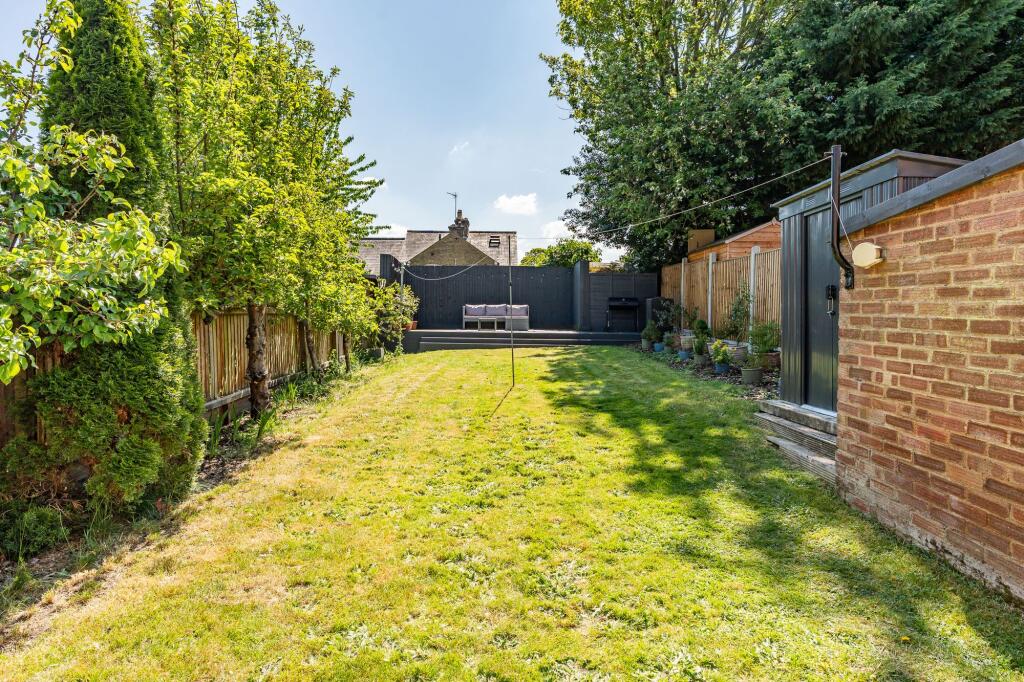
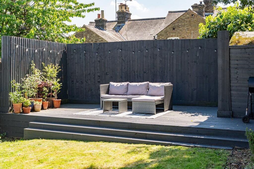
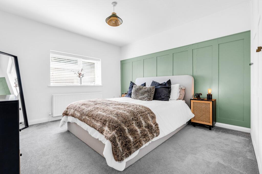
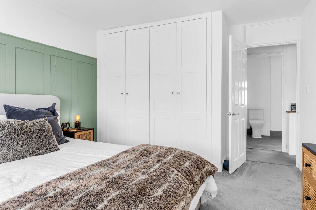
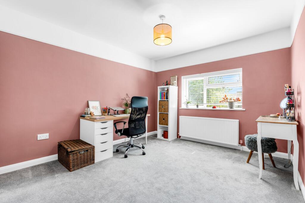
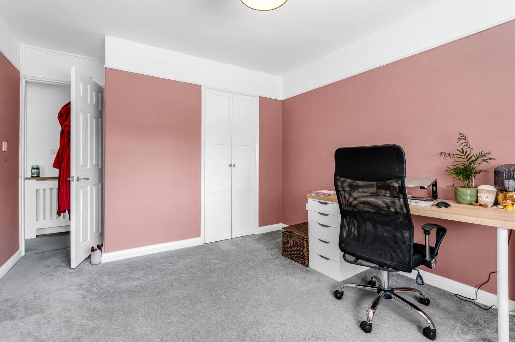
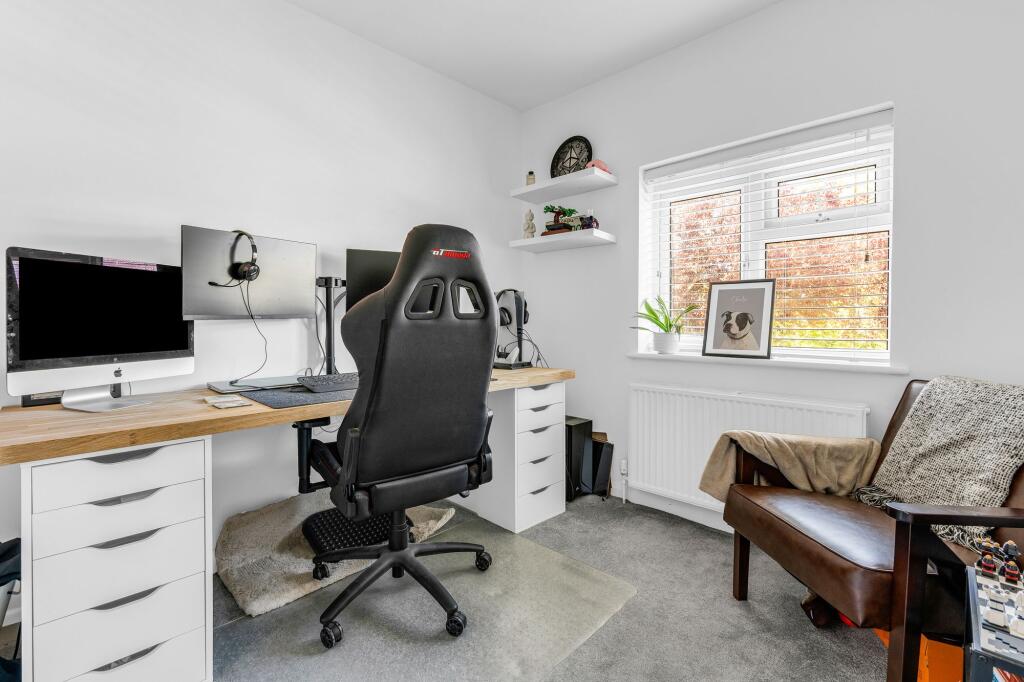

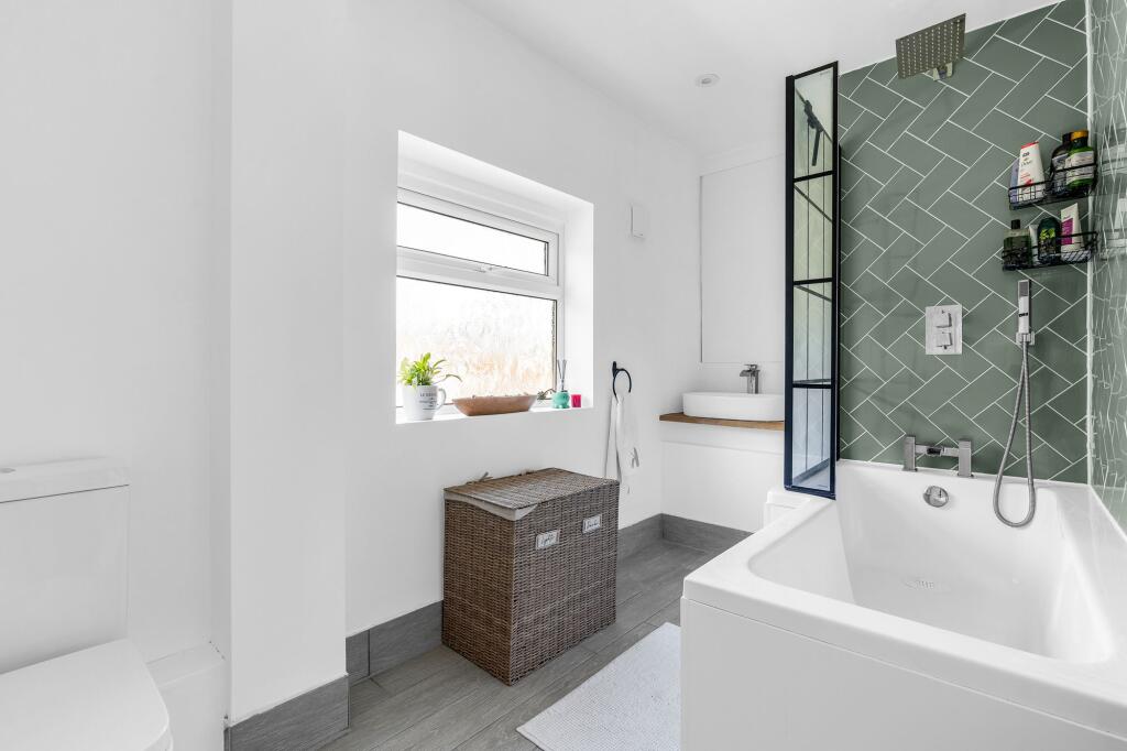
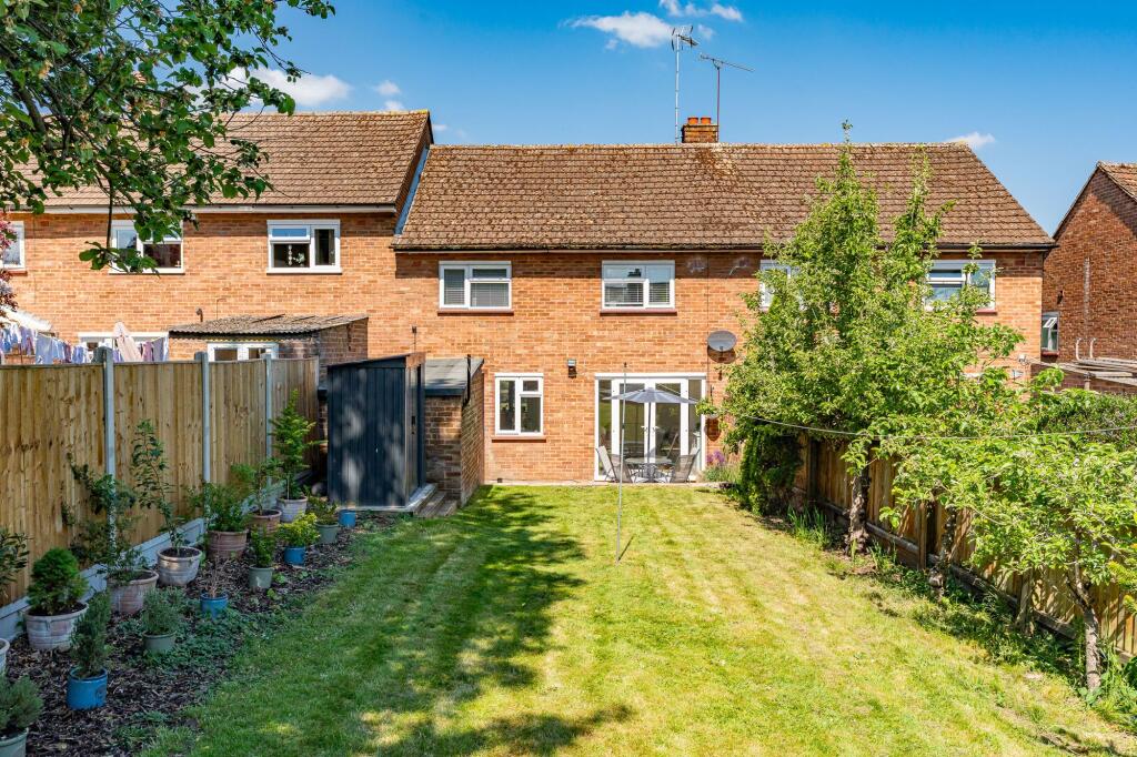
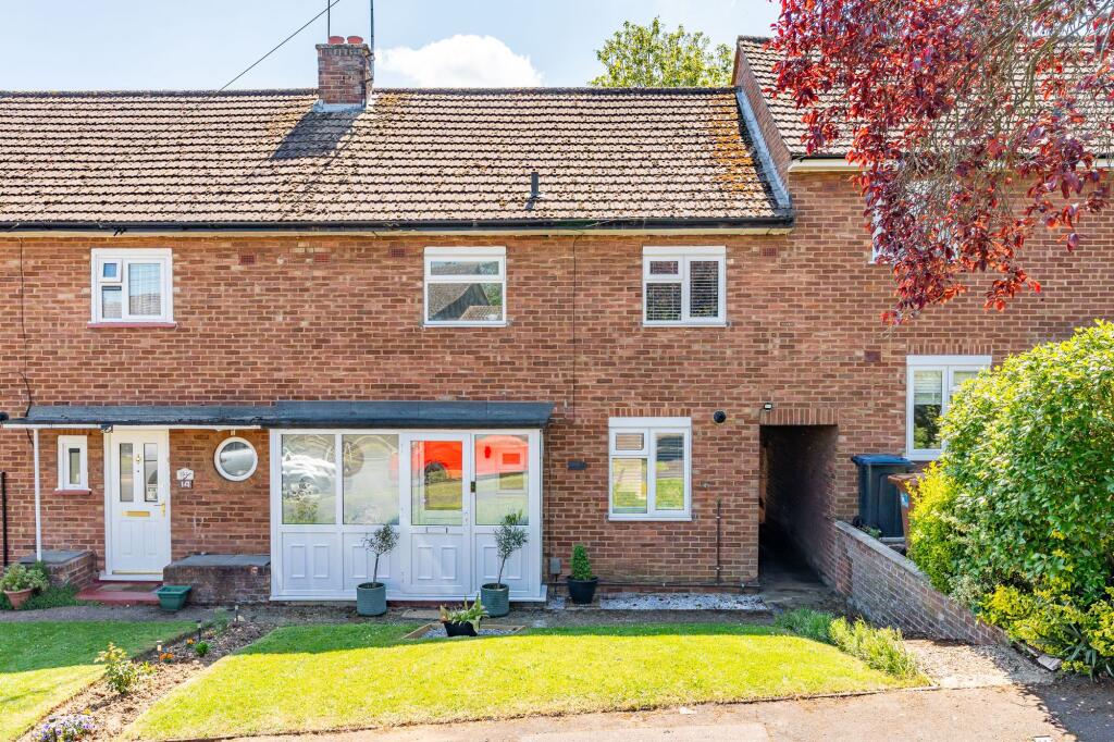
Photo 1 Photo 2 Photo 3 Photo 4 Photo 5 Photo 6 Photo 7 Photo 8 Photo 9 Photo 10 Photo 11 Photo 12 Photo 13 Photo 14 Photo 15 Photo 16 Photo 17 Photo 18 Photo 19 Photo 20 Photo 21 Photo 22 Photo 23 Photo 24 Photo 25 Photo 26 Photo 27 Photo 28 Photo 29
/ 29
Property details
Tenure
FREEHOLD
Floor area
88 m²
Council tax band
D
EPC rating
C
Year built
England and Wales: 1950-1966
Last sold
£450,000 Sep 2025
Price per m²
£4,943/m²
Local average
£473,640 (-8.2%)
Deprivation
Decile 8 (25,145 of 33,755)
Street crime
87 incidents within 1 mile (Apr 2026)
Additional details
- Electricity
- Mains supply
- Water
- Mains supply
- Sewerage
- Mains supply
- Heating
- Gas central
- Garden
- Front garden, Rear garden
- Listed property
- No
- Restrictions
- No
- Required access
- No
- Rights of way
- No
- Flooded in last 5 years
- No
- Flood defences
- No
Description
EPC Rating: C
Listed by
Ware
Elliot Heath Ltd
Reference: 161941190
EPC Rating & Upgrade Cost
Current rating: C
Potential rating: B
Inspection date: 04/01/2021
Current heating cost: £545/year
Potential heating cost: £427/year
Est. upgrade cost to C: £15,500
Recommendations
- Cavity wall insulation (£500 - £1,500)
- Floor insulation (solid floor) (£4,000 - £6,000)
- Solar water heating (£4,000 - £6,000)
- Solar photovoltaic panels, 2.5 kWp (£3,500 - £5,500)
Flood risk
Zone: 1
Risk: Low
Job (default Low)
Floorplans
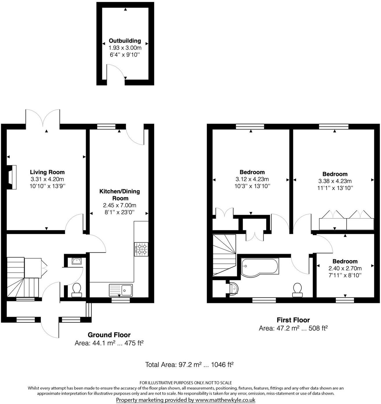
All
EPC Graphs
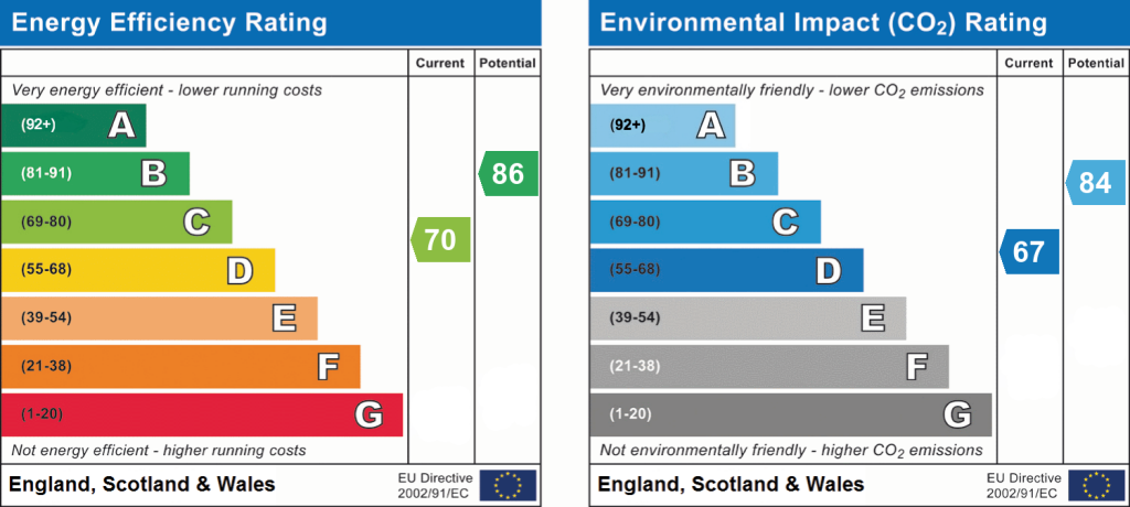
EPC 1
Price history
26% since 2023
| Event | Date | Price | % change |
|---|---|---|---|
| Sold | 01/09/2025 (9 months ago) | £450,000 | +25.9% |
| Sold | 03/07/2023 (2 years ago) | £357,500 | — |
Source: HM Land Registry Price Paid Data. Crown copyright.
Sold Comparables
Same street and nearby sales within 0.25 miles (last 5 years). Data from Land Registry Price Paid.
| Address | Price | Date | Type |
|---|---|---|---|
| 10 RED HOUSE CLOSE, WARE, EAST HERTFORDSHIRE, HERTFORDSHIRE, SG12 9NW | £570,000 | 19/12/2022 | Terraced |
| 31 GILPIN ROAD, WARE, EAST HERTFORDSHIRE, HERTFORDSHIRE, SG12 9LZ | £407,500 | 09/12/2022 | Terraced |
| 1 GILPIN ROAD, WARE, EAST HERTFORDSHIRE, HERTFORDSHIRE, SG12 9LZ | £405,000 | 14/10/2022 | Terraced |
| 106 LONDON ROAD, WARE, EAST HERTFORDSHIRE, HERTFORDSHIRE, SG12 9LY | £450,000 | 04/07/2022 | Terraced |
| 23 PRESDALES COURT, WARE, EAST HERTFORDSHIRE, HERTFORDSHIRE, SG12 9NF | £445,000 | 18/03/2022 | Terraced |
| 96 LONDON ROAD, WARE, EAST HERTFORDSHIRE, HERTFORDSHIRE, SG12 9LY | £450,000 | 24/09/2021 | Terraced |
| 51 PRESDALES DRIVE, WARE, EAST HERTFORDSHIRE, HERTFORDSHIRE, SG12 9NN | £425,000 | 21/09/2021 | Terraced |
| Same street 24 GRANGE GARDENS, WARE, EAST HERTFORDSHIRE, HERTFORDSHIRE, SG12 9ND | £246,000 | 30/06/2021 | Flat |
Street average: £246,000 (1 sale)
Area average: £450,357 (7 sales)
Capital growth trend
Land Registry outcode average: last 12 months vs 5y and 10y ago (from sold prices).
House Price Index (HM Land Registry — official index, not sold-price averages): East Hertfordshire. Series: Terraced. As of March 2026.
Rental Range
Estimated market rent for East Hertfordshire. Low = conservative, Realistic = average, Optimistic = best case.
Based on Local Authority from postcode lookup → East Hertfordshire.
LHA (30th percentile) floor for Peterborough: £808/mo (Apr 2025 – Mar 2026)
Location
Nearby
Nearest stations, universities and amenities (distance from property).
| Type | Name | Distance |
|---|---|---|
| Bus stop | Gilpin Mews | 0.1 miles |
| Train station | Ware | 0.2 miles |
| Shop | Nutz Tattoo | 0.3 miles |
| Hospital | Highfield Nursing Home | 0.3 miles |
| Shop | Costcutter | 0.3 miles |
| Train station | St Margarets | 1.7 miles |
| Hospital | Hertford County Hospital | 2.7 miles |
| University | Boltons Park Farm | 9.5 miles |
| University | Unknown | 9.7 miles |
Street-level crime
| Category | Count |
|---|---|
| Violence and sexual offences | 27 |
| Anti-social behaviour | 21 |
| Criminal damage and arson | 11 |
| Other theft | 8 |
| Shoplifting | 5 |
| Vehicle crime | 5 |
| Public order | 4 |
| Burglary | 2 |
| Drugs | 2 |
| Possession of weapons | 1 |
| Robbery | 1 |
| Total incidents | 87 |
Within 1 mile during Apr 2026. Source: data.police.uk (England & Wales).
Schools nearby
Nearest open schools with Ofsted ratings (England). Closed schools are not shown. Data from Get Information about Schools and Ofsted.
| Name | Type | Distance | Ofsted |
|---|---|---|---|
| Presdales School | Secondary | 0.2 miles | Outstanding — 24 Apr 2024 |
| Hertford Regional College | Other | 0.3 miles | — (No rating) |
| Pinewood School | Other | 0.4 miles | Requires improvement — 1 Feb 2024 |
| Middleton School | Other | 0.4 miles | Outstanding — 25 Jun 2024 |
| Sacred Heart Catholic Primary School | Primary | 0.4 miles | — (Inspected (no overall grade)) |
Rental Comparables
Loading rental comparables for this postcode. Refresh in a few minutes.
Rent-driven metrics
Based on Area rent estimate.
- Rent ratio — Monthly rent ÷ purchase price (1% rule). 1%+ = strong, 0.8–1% = okay, <0.8% = weak for cashflow.
- Max investor price — Rent ÷ 0.8%; the price at which rent would be 0.8% of price (Stoke-style target).
- Target investor price — Rent ÷ 1%; the price at which rent would be 1% of price (strong cashflow band).
- Gross yield — Annual rent as % of purchase price (no costs).