Fitzjohns Drive
Hertford, SG14 2GR
£2,500 pcm
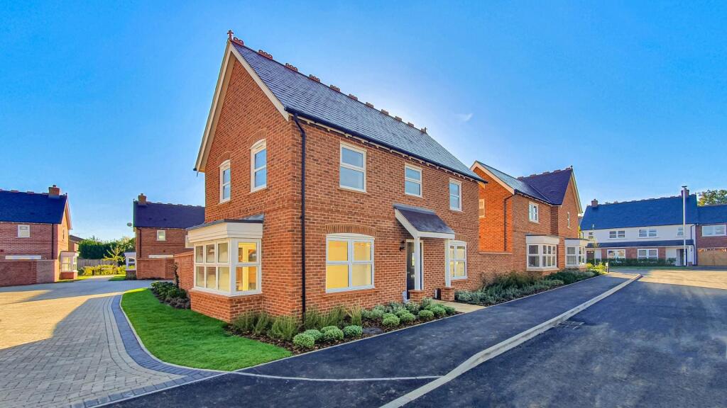
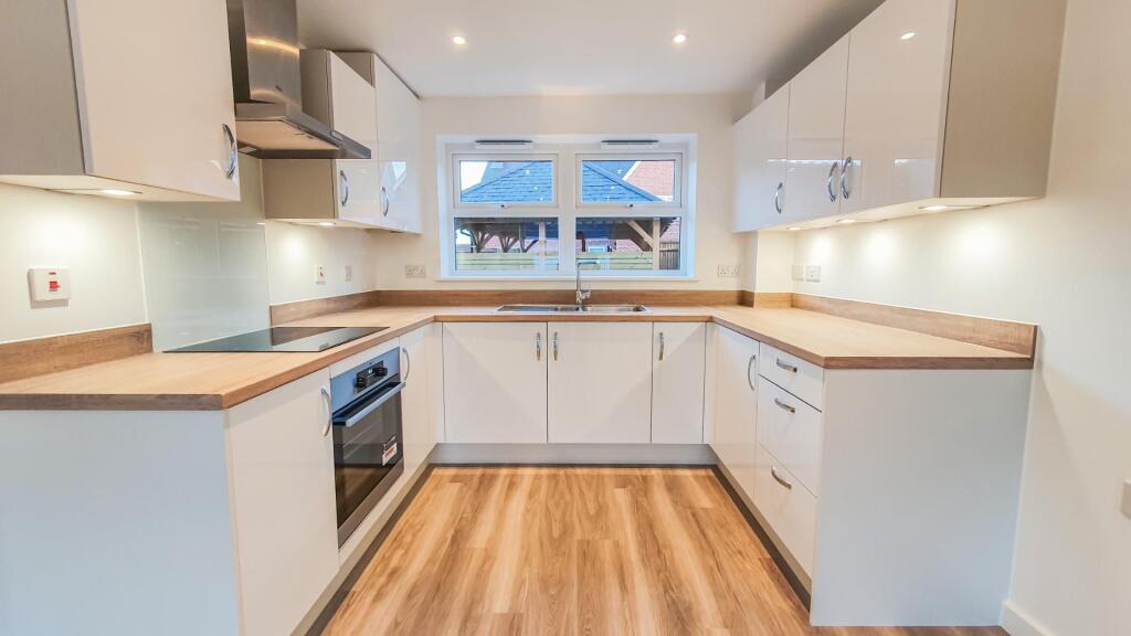
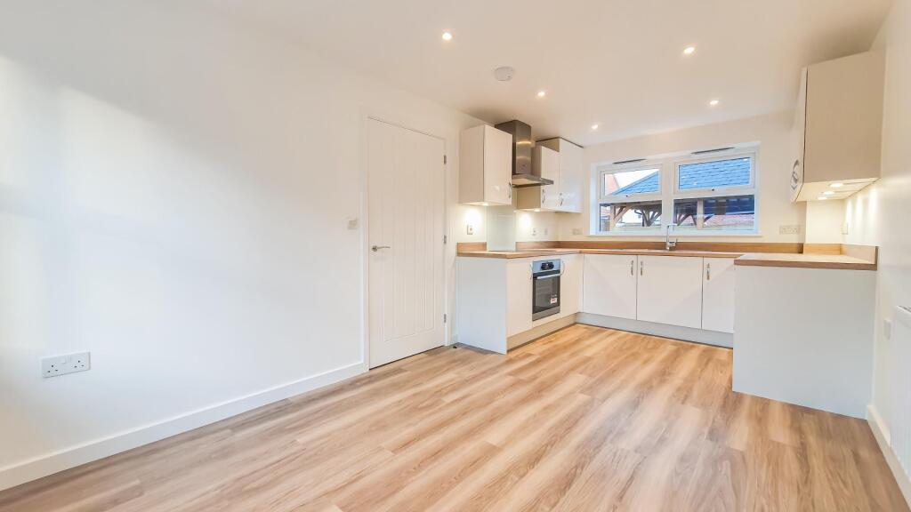
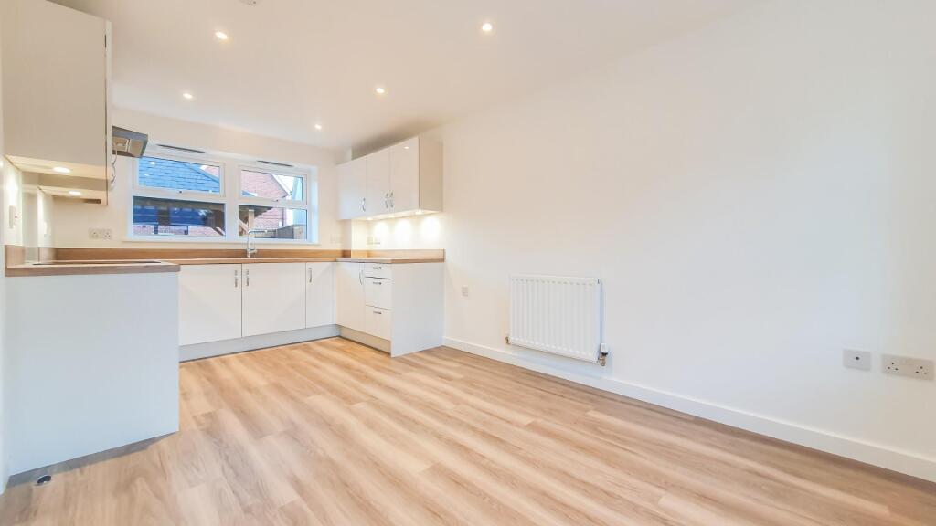
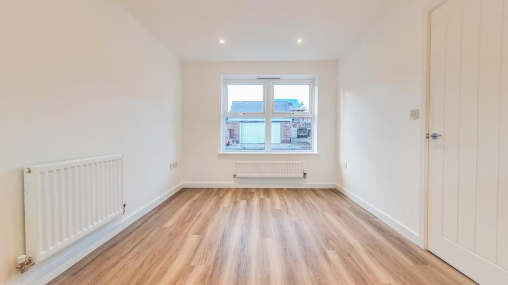
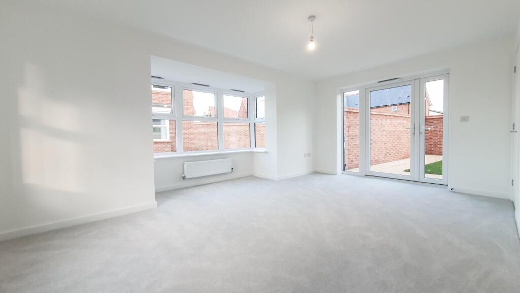
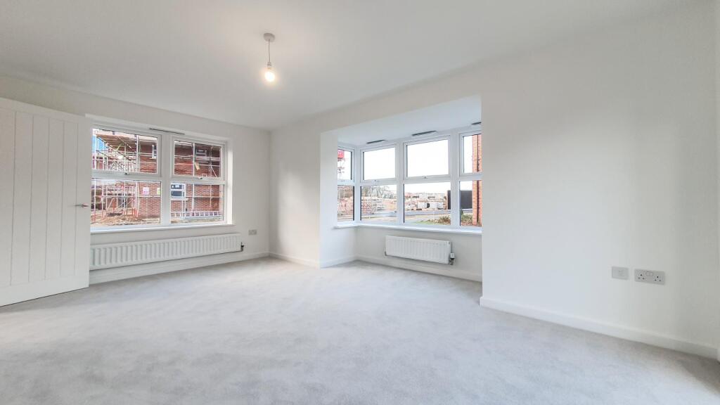
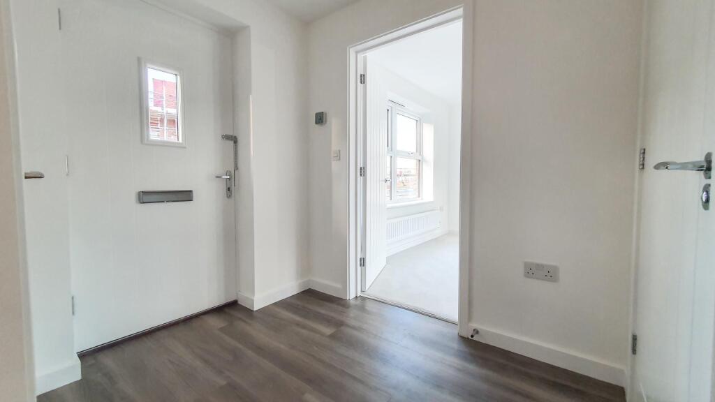
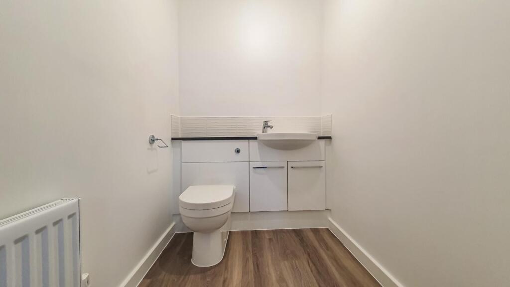
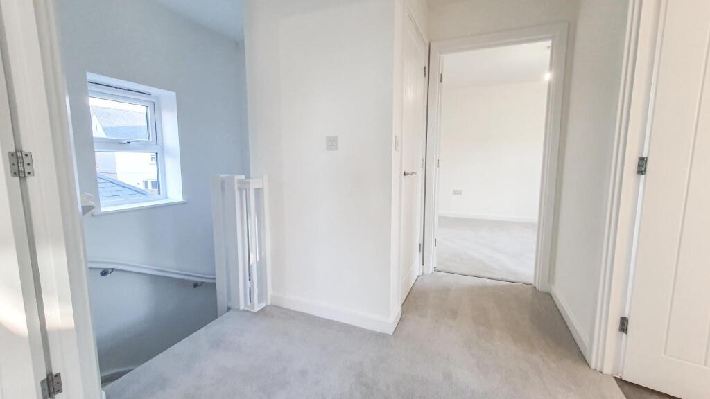
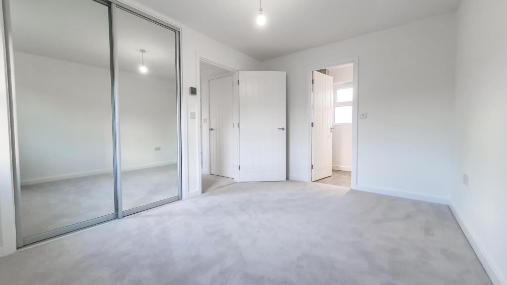
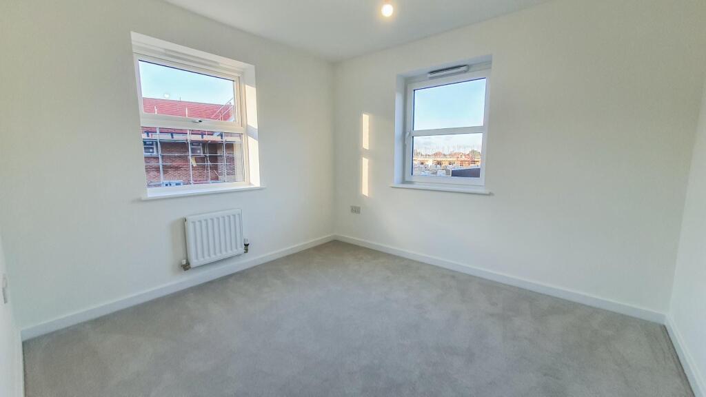
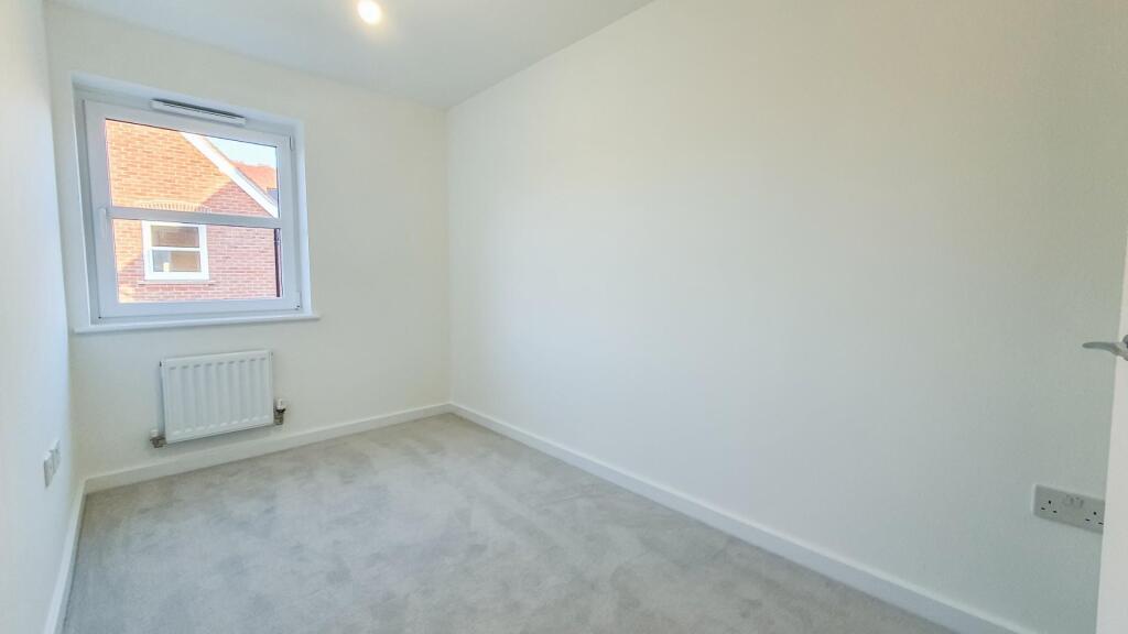
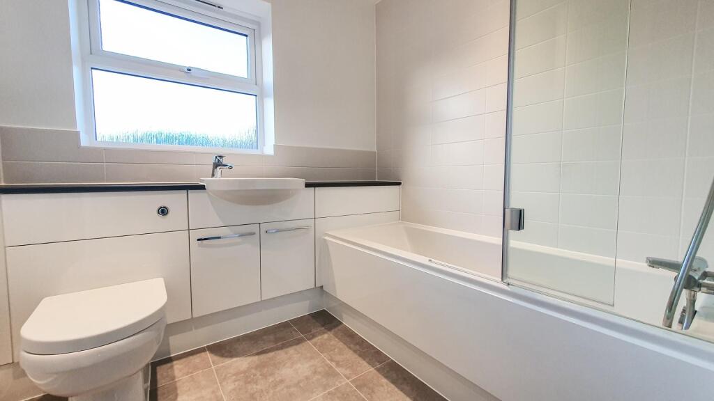
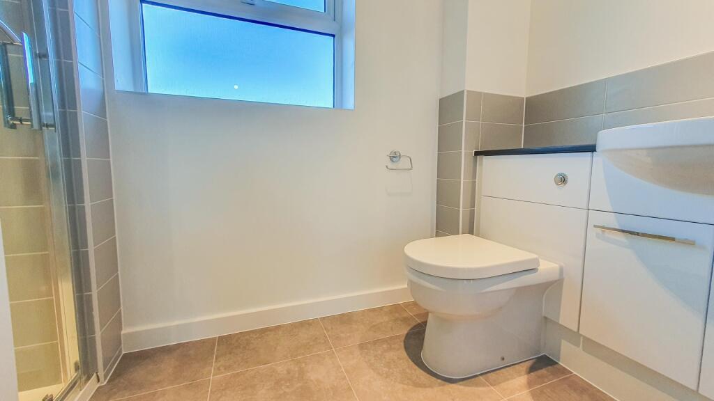
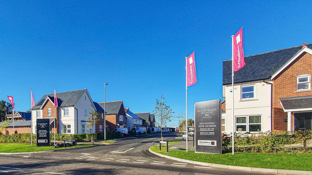
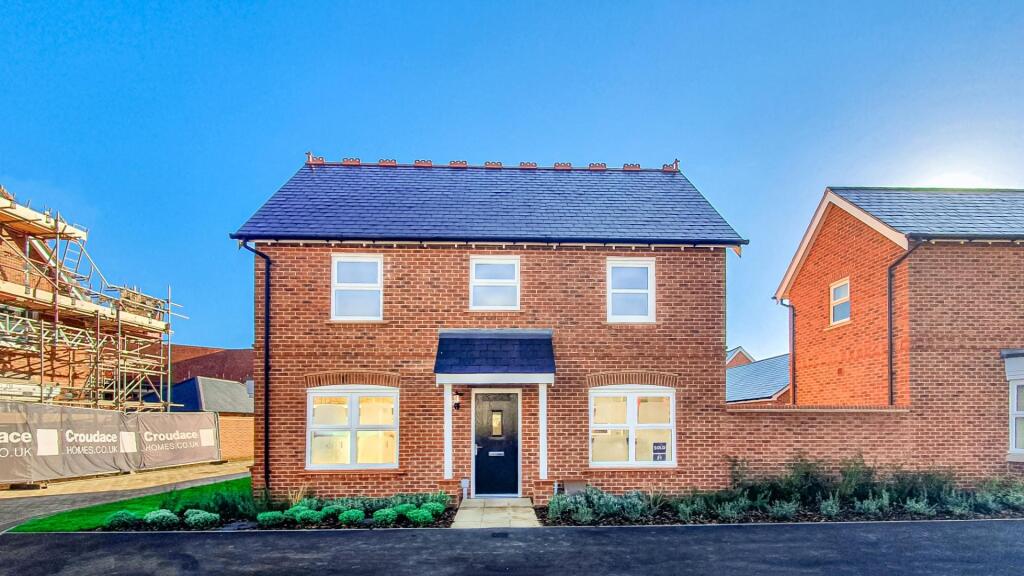
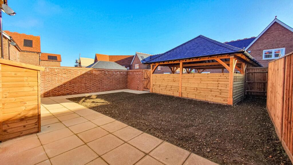
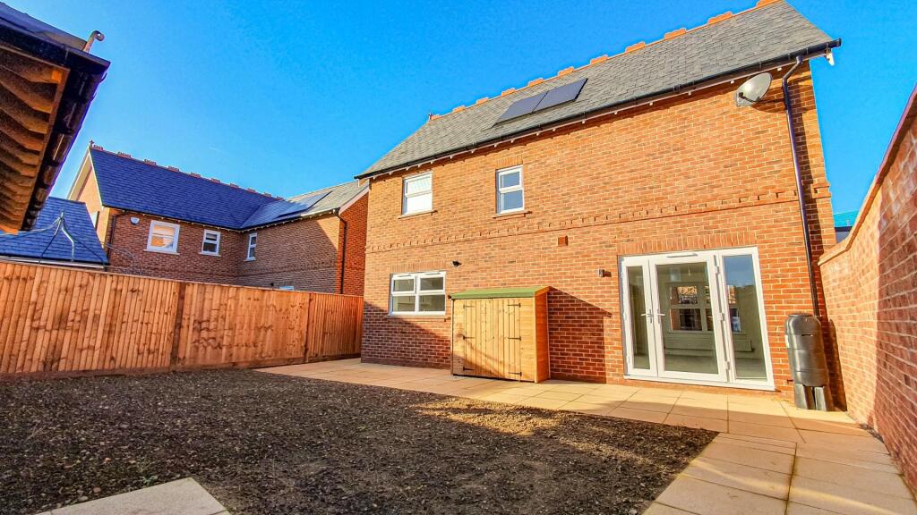
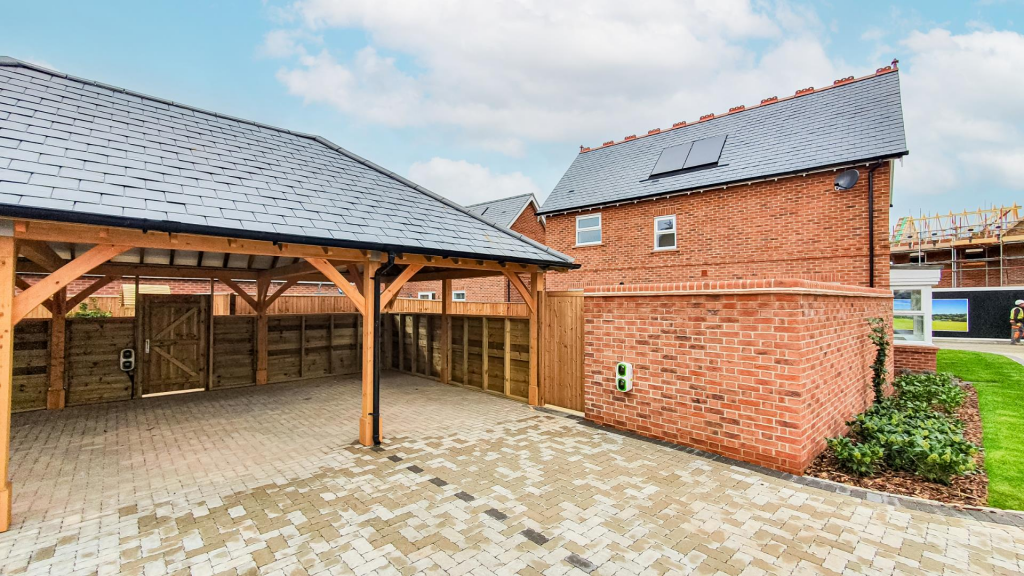
Photo 1 Photo 2 Photo 3 Photo 4 Photo 5 Photo 6 Photo 7 Photo 8 Photo 9 Photo 10 Photo 11 Photo 12 Photo 13 Photo 14 Photo 15 Photo 16 Photo 17 Photo 18 Photo 19 Photo 20
/ 20
Property details
Council tax band
F
Deprivation
Decile 9 (28,102 of 33,755)
Street crime
68 incidents within 1 mile (Apr 2026)
Additional details
- Electricity
- Mains supply
- Water
- Mains supply
- Sewerage
- Mains supply
- Heating
- Gas central
- Parking
- Off street
- Garden
- Yes
Description
Parking: Tandem Parking - Carport with Electrical Charge Point
Conditions: No Commercial Vehicles. Induction Hob
Service: Managed
Tenancy Length: 12 Months
DEPOSIT
Traditional 5-week deposit: £2,884.61
7 day Holding Deposit: £576.92
REFERENCES
Please only enquire if you can pass the referencing criteria;
- Collective gross income: £75,000 PA
- No CCJ's, IVA's or history of bad credit
- Right to Rent in the UK
- Positive landlord reference (if applicable)
- Verified 12 months accounts (If self-employed)
- Please ensure you have the correct legal documentation for your Right To Rent check. EU & Non EU Citizens must provide a Share Code. British & Irish Citizens must provide a UK passport.
Please seek further advice on a 'self-employed' basis. Income must be UK based.
Accreditations & Affiliations - The Property Redress Scheme (PRS024650)
Client Money Protection: Client Money Protect (CMP007035)
The Guild of Lettings & Management (CF445)
Buy with Confidence - Approved by Trading Standards (811/56201)
National Residential Landlord Association (2004505)
Listed by
Hertford
Anthony Lettings
Reference: 167314568
EPC ratings on this postcode
We don't have a matched EPC for this property yet. Below are efficiency scores and details for other addresses on this postcode.
| Address | Current | Potential | Floor area | Age band | Type |
|---|---|---|---|---|---|
| 1 Fitzjohns Drive, HERTFORD | 86 | 87 | 85 m² | — | Detached |
| 10 Fitzjohns Drive, HERTFORD | 86 | 87 | 126 m² | — | Detached |
| 11 Fitzjohns Drive, HERTFORD | 87 | 88 | 99 m² | — | Detached |
| 12 Fitzjohns Drive, HERTFORD | 85 | 87 | 72 m² | — | Detached |
| 13 Fitzjohns Drive, HERTFORD | 86 | 88 | 72 m² | — | Detached |
| 14 Fitzjohns Drive, HERTFORD | 86 | 87 | 72 m² | — | Detached |
| 15, Fitzjohns Drive, HERTFORD | 86 | 88 | 96 m² | — | Detached |
| 16 Fitzjohns Drive, HERTFORD | 86 | 87 | 72 m² | — | Detached |
| 18 Fitzjohns Drive, HERTFORD | 86 | 87 | 72 m² | — | Detached |
| 2 Fitzjohns Drive, Hertford | 85 | 86 | 96 m² | — | Detached |
| 20 Fitzjohns Drive, HERTFORD | 85 | 87 | 98 m² | — | Detached |
| 22 Fitzjohns Drive, HERTFORD | 85 | 87 | 80 m² | — | Detached |
| 24 Fitzjohns Drive, HERTFORD | 85 | 87 | 80 m² | — | Detached |
| 26 Fitzjohns Drive, HERTFORD | 85 | 87 | 80 m² | — | Detached |
| 28 Fitzjohns Drive, HERTFORD | 88 | 89 | 154 m² | — | Terraced |
Flood risk
Zone: 1
Risk: Low
Job (default Low)
Floorplans
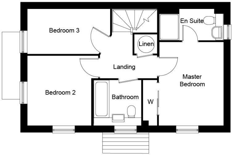
Floorplan 1
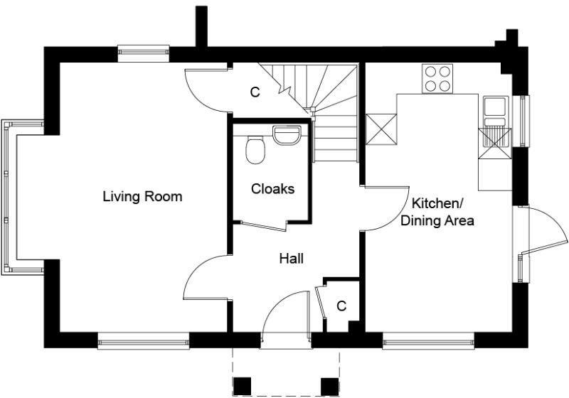
Floorplan 2
EPC Graphs
EE Rating
Rental Range
Estimated market rent for East Hertfordshire. Low = conservative, Realistic = average, Optimistic = best case.
Based on Local Authority from postcode lookup → East Hertfordshire.
LHA (30th percentile) floor for South East Herts: £1,366/mo (Apr 2025 – Mar 2026)
Location
Nearby
Nearest stations, universities and amenities (distance from property).
| Type | Name | Distance |
|---|---|---|
| Bus stop | Turpins Close | 0.0 miles |
| Bus stop | The Sele School | 0.1 miles |
| Shop | Simmons Bakers | 0.1 miles |
| Shop | Cut Loose | 0.1 miles |
| Train station | Hertford North | 0.5 miles |
| Train station | Hertford East | 1.4 miles |
| University | University of Hertfordshire | 4.0 miles |
| Hospital | Cheshunt Community Hospital | 7.5 miles |
| Hospital | Unknown | 10.3 miles |
Street-level crime
| Category | Count |
|---|---|
| Violence and sexual offences | 29 |
| Anti-social behaviour | 13 |
| Vehicle crime | 7 |
| Public order | 6 |
| Criminal damage and arson | 5 |
| Shoplifting | 5 |
| Burglary | 1 |
| Other crime | 1 |
| Robbery | 1 |
| Total incidents | 68 |
Within 1 mile during Apr 2026. Source: data.police.uk (England & Wales).
Schools nearby
Nearest open schools with Ofsted ratings (England). Closed schools are not shown. Data from Get Information about Schools and Ofsted.
| Name | Type | Distance | Ofsted |
|---|---|---|---|
| The Sele School | Secondary | 0.0 miles | Requires improvement — 5 Dec 2022 |
| Hollybush Primary School | Primary | 0.2 miles | Good — 11 Jul 2019 |
| Hertford St Andrew CofE Primary School | Primary | 0.2 miles | Good — 12 Feb 2019 |
| St Joseph's Catholic Primary School (Hertford) | Primary | 0.4 miles | Good — 19 Jul 2013 |
| St Joseph's in the Park | Other | 0.7 miles | — (No rating) |
Rental Comparables
Loading rental comparables for this postcode. Refresh in a few minutes.
Enter House Number
Enter the house number to help us retrieve more accurate pricing history and property data.
Please log in to submit or correct the house number for this listing.
Log in to continue