Tring
HP23 5PY
£240,000
Property details
Tenure
FREEHOLD
EPC rating
D
Last sold
£240,000
Price per m²
£5,217/m²
Local average
£1,755,000 (-86.3%)
Deprivation
Decile 10 (32,737 of 33,755)
Street crime
51 incidents within 1 mile (May 2026)
Key features
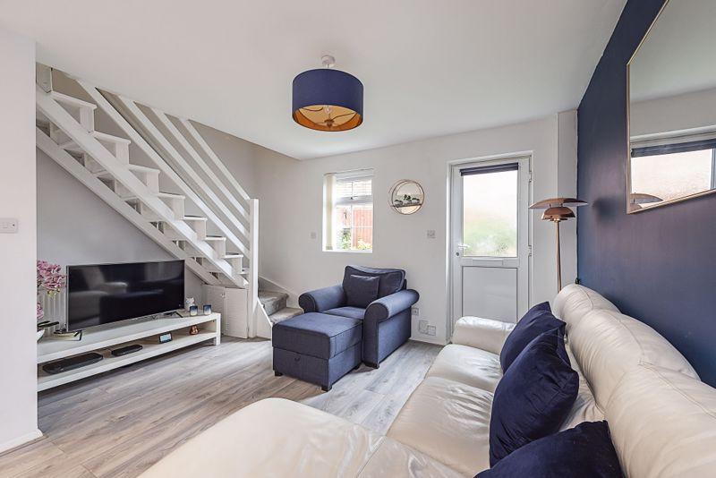
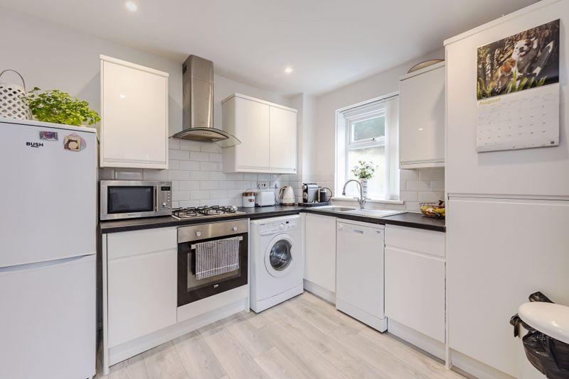
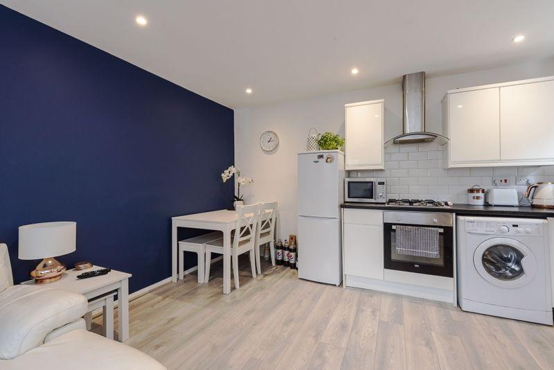
- OPEN PLAN KITCHEN/LIVING ROOM
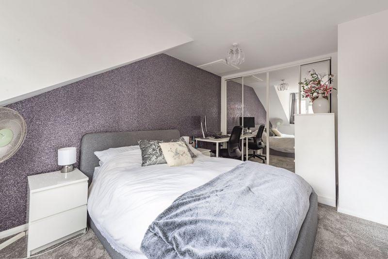
- DOUBLE BEDROOM
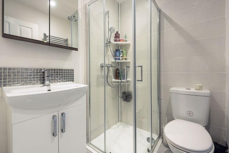
- SHOWER ROOM
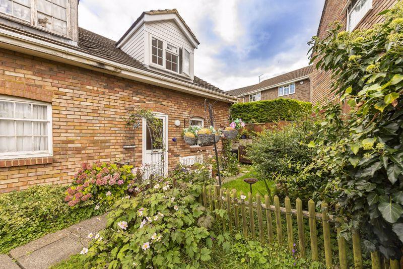
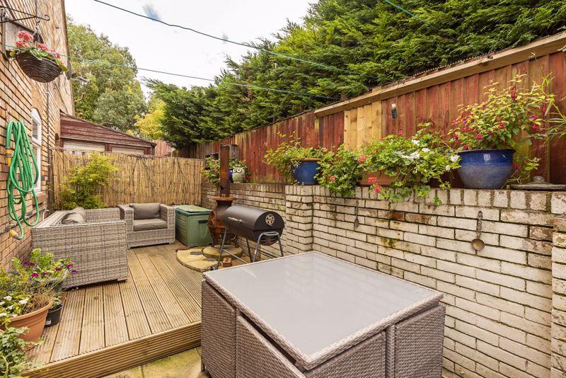
- ENCLOSED GARDENS
- ALLOCATED PARKING
Additional details
- Parking
- Yes
- Garden
- Yes
Description
Listed by
Tring
Michael Anthony
Reference: 72926406
EPC Rating & Upgrade Cost
Current rating: D
Potential rating: B
Inspection date: 26/10/2017
Expiry date: 25/10/2027
Est. upgrade cost to C: £16,920
Recommendations
- Floor insulation (solid floor) (£4,000 - £6,000)
- Low energy lighting for all fixed outlets (£20)
- Upgrade heating controls (£350 - £450)
- Solar water heating (£4,000 - £6,000)
- Solar photovoltaic panels, 2.5 kWp (£5,000 - £8,000)
Flood risk
Zone: 1
Risk: Low
Job (default Low)
Floorplans
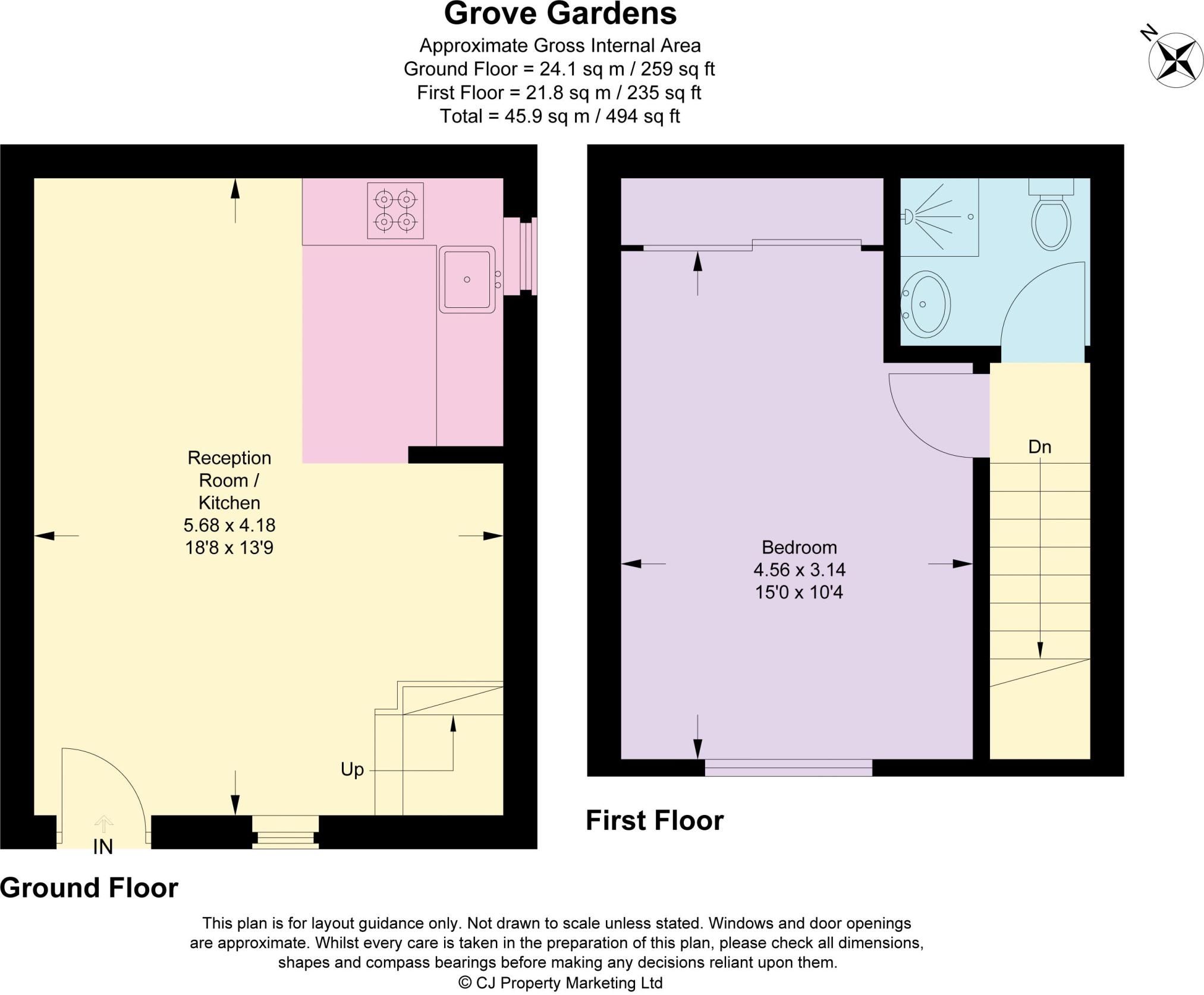
Floorplan 1
EPC Graphs
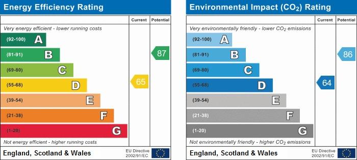
EPC Graph

Energy Perform...
Price history
No sales history found for this property in Land Registry Price Paid data.
Sold Comparables
Same street and nearby sales within 0.25 miles (last 5 years). Data from Land Registry Price Paid.
| Address | Price | Date | Type |
|---|---|---|---|
| 3 SINFIELD PLACE, TRING, DACORUM, HERTFORDSHIRE, HP23 5FE | £8,000 | 07/09/2022 | Other |
Area average: £8,000 (1 sale)
Capital growth trend
Land Registry outcode average: last 12 months vs 5y and 10y ago (from sold prices).
House Price Index (HM Land Registry — official index, not sold-price averages): Dacorum. Series: All dwelling types. As of April 2026.
Rental Range
Estimated market rent for Dacorum. Low = conservative, Realistic = average, Optimistic = best case.
Based on Local Authority from postcode lookup → Dacorum.
LHA (30th percentile) floor for Aylesbury: £798/mo (Apr 2025 – Mar 2026)
Location
Address
Grove Gardens
Nearby
Nearest stations, universities and amenities (distance from property).
| Type | Name | Distance |
|---|---|---|
| Shop | New Mill Food & Wine | 0.1 miles |
| Bus stop | Adams Way | 0.1 miles |
| Bus stop | New Road | 0.1 miles |
| Shop | Co-op Food | 0.3 miles |
| Train station | Tring | 1.5 miles |
| Train station | Cheddington | 3.8 miles |
| University | University Campus Aylesbury Vale | 6.6 miles |
| Hospital | The Paddocks Hospital | 8.9 miles |
| Hospital | Luton and Dunstable Hospital | 10.0 miles |
Street-level crime
| Category | Count |
|---|---|
| Anti-social behaviour | 18 |
| Violence and sexual offences | 14 |
| Burglary | 4 |
| Criminal damage and arson | 4 |
| Other theft | 4 |
| Shoplifting | 3 |
| Public order | 2 |
| Drugs | 1 |
| Theft from the person | 1 |
| Total incidents | 51 |
Within 1 mile during May 2026. Source: data.police.uk (England & Wales).
Schools nearby
Nearest open schools with Ofsted ratings (England). Closed schools are not shown. Data from Get Information about Schools and Ofsted.
| Name | Type | Distance | Ofsted |
|---|---|---|---|
| Grove Road Primary School | Primary | 0.2 miles | Good — 23 May 2014 |
| Dundale Primary School and Nursery | Primary | 0.3 miles | Good — 11 Jul 2012 |
| Tring School | Secondary | 0.3 miles | Good — 13 Dec 2017 |
| Bishop Wood Church of England Junior School, Tring | Primary | 0.7 miles | Good — 9 Jun 2024 |
| Tring Park School for the Performing Arts | Other | 0.8 miles | — (No rating) |
Rental Comparables
Rental listings exist nearby, but none matched the 1-bedroom count for this property.
Rent-driven metrics
Based on Area rent estimate.
- Rent ratio — Monthly rent ÷ purchase price (1% rule). 1%+ = strong, 0.8–1% = okay, <0.8% = weak for cashflow.
- Max investor price — Rent ÷ 0.8%; the price at which rent would be 0.8% of price (Stoke-style target).
- Target investor price — Rent ÷ 1%; the price at which rent would be 1% of price (strong cashflow band).
- Gross yield — Annual rent as % of purchase price (no costs).
Enter House Number
Enter the house number to help us retrieve more accurate pricing history and property data.
Please log in to submit or correct the house number for this listing.
Log in to continue