3 BROAD PARK
EXETER, CRANBROOK, DEVON EX5 7JQ
£1,100 pcm
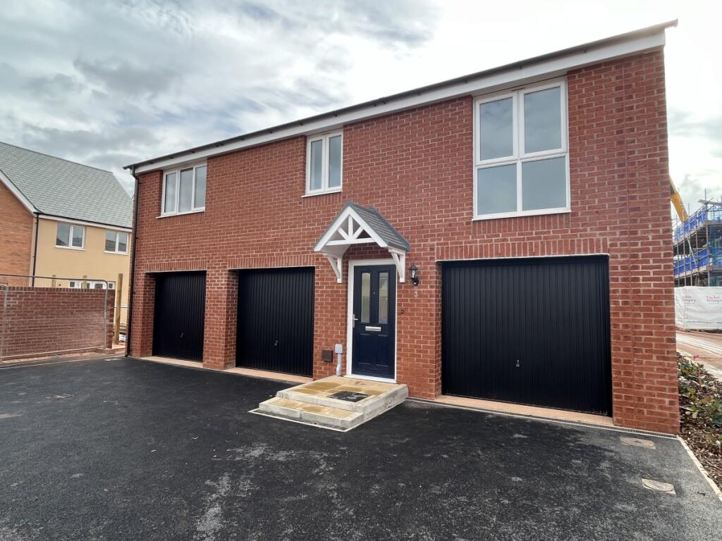
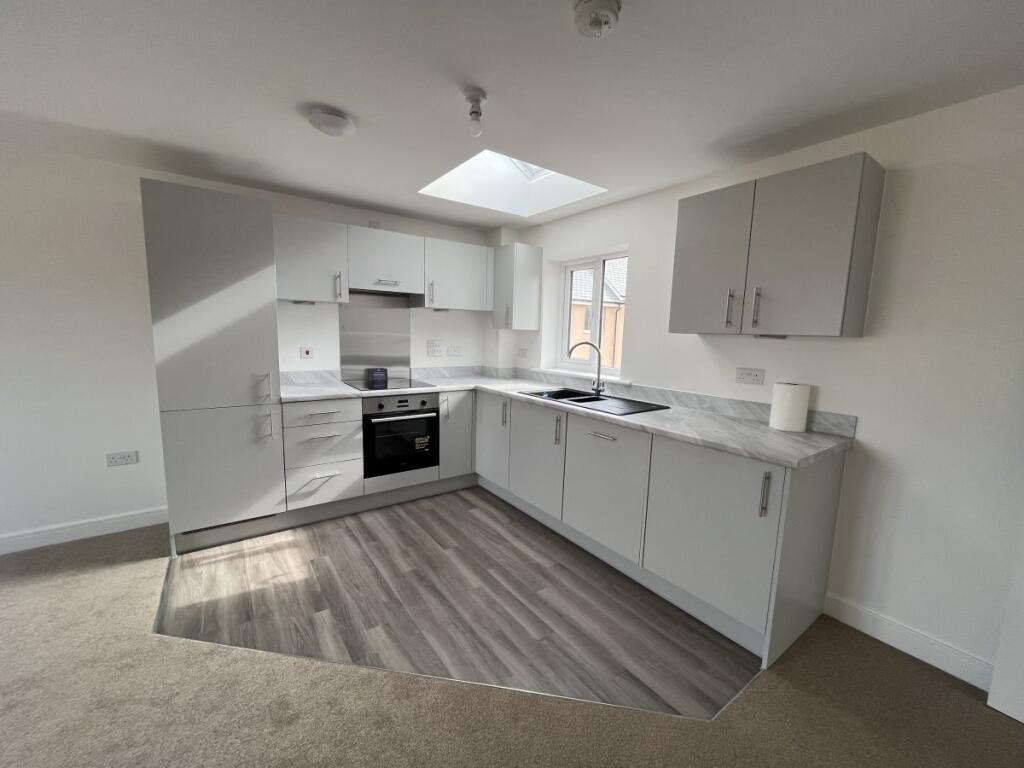
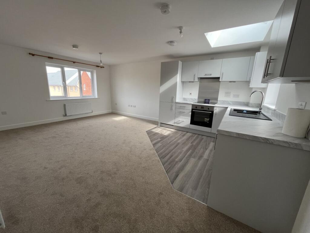
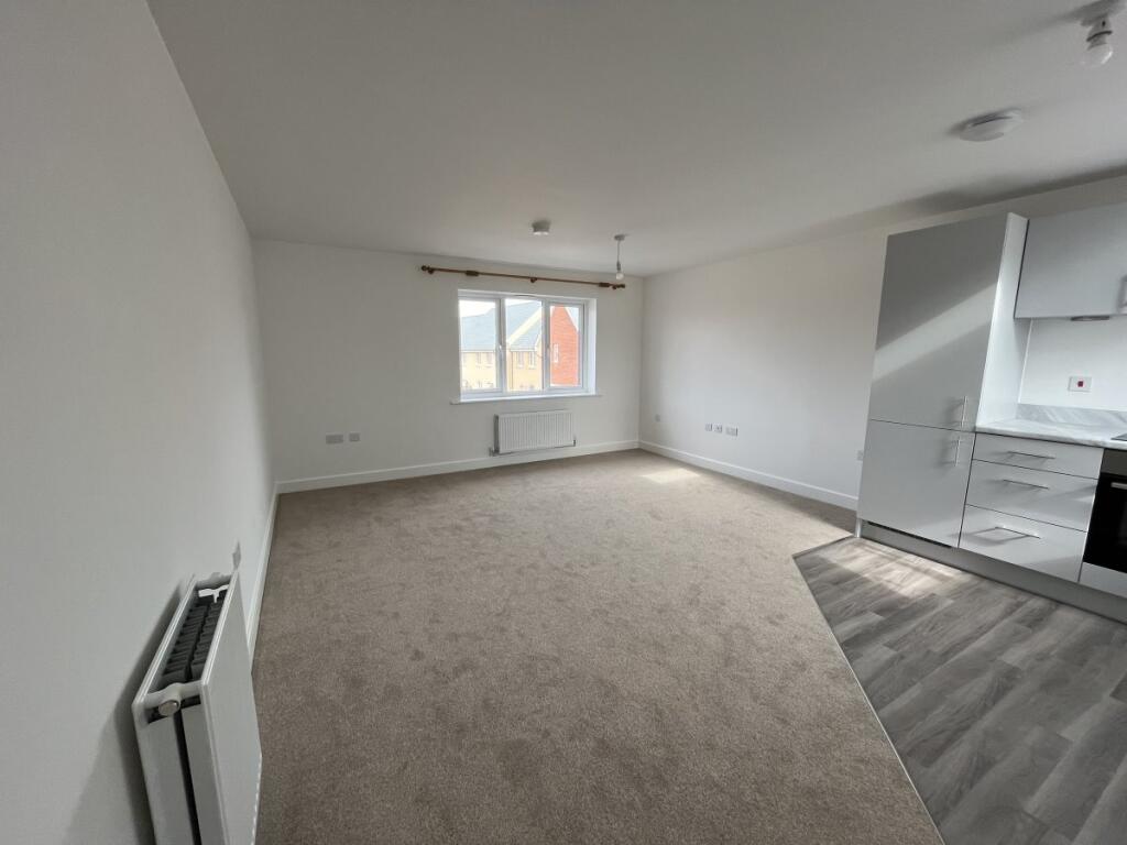
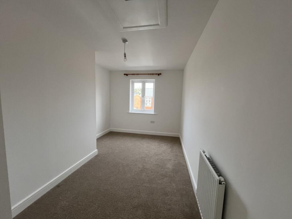
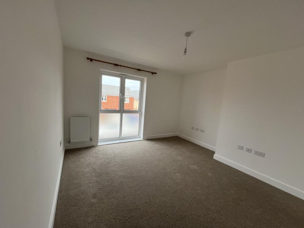
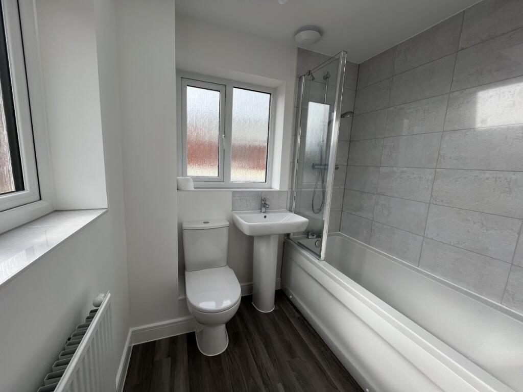
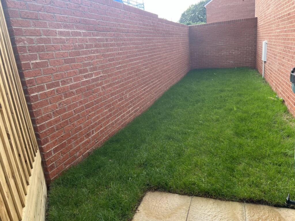
Photo 1 Photo 2 Photo 3 Photo 4 Photo 5 Photo 6 Photo 7 Photo 8
/ 8
Property details
Floor area
126 m²
Council tax band
B
EPC rating
B
Street crime
32 incidents within 1 mile (Apr 2026)
Key features
- Coach House
- 2 Beds + 1 Reception
- 1 Bathroom
- Energy Rating : B
- Council Tax Band B
- Near the train station
- Parking
- Balcony
- Washing Machine
- Dishwasher
Additional details
- Electricity
- Mains supply
- Water
- Mains supply
- Sewerage
- Mains supply
- Parking
- Garage
- Listed property
- No
- Flooded in last 5 years
- No
- Flood defences
- No
Description
REGRET NOT SUITABLE FOR CHILDREN OR PETS
EER: B/85. COUNCIL TAX: B
Listed by
Sidmouth
REDFERNS SIDMOUTH LIMITED
Reference: 168189698
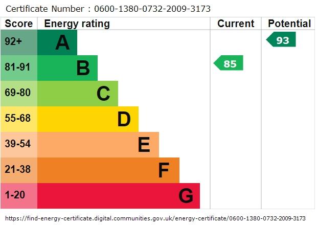
EPC Rating & Upgrade Cost
Current rating: B
Potential rating: A
Inspection date: 08/09/2023
Current heating cost: £463/year
Potential heating cost: £463/year
Est. upgrade cost to C: £4,500
Recommendations
- Solar photovoltaic panels, 2.5 kWp (£3,500 - £5,500)
Flood risk
Zone: 1
Risk: Low
Job (default Low)
EPC Graphs
EPC graph
Rental Range
Estimated market rent for South West. Low = conservative, Realistic = average, Optimistic = best case.
Based on Postcode area EX → South West.
LHA (30th percentile) floor for Exeter: £793/mo (Apr 2025 – Mar 2026)
Location
Nearby
Nearest stations, universities and amenities (distance from property).
| Type | Name | Distance |
|---|---|---|
| Bus stop | Yonder Acre Way opp | 0.1 miles |
| Bus stop | Dove Lane | 0.1 miles |
| Shop | Rockbeare Garage | 0.4 miles |
| Shop | Children's Hospice South-West | 0.5 miles |
| Train station | Cranbrook | 1.3 miles |
| Train station | Whimple | 2.0 miles |
| University | Engineering Department University of Exeter | 3.1 miles |
| University | St Luke's Campus | 5.9 miles |
| Hospital | The Woodmill | 6.6 miles |
| Hospital | Culm Valley Integrated Centre for Health | 7.8 miles |
Street-level crime
| Category | Count |
|---|---|
| Violence and sexual offences | 18 |
| Criminal damage and arson | 7 |
| Other theft | 2 |
| Public order | 2 |
| Anti-social behaviour | 1 |
| Burglary | 1 |
| Shoplifting | 1 |
| Total incidents | 32 |
Within 1 mile during Apr 2026. Source: data.police.uk (England & Wales).
Schools nearby
Nearest open schools with Ofsted ratings (England). Closed schools are not shown. Data from Get Information about Schools and Ofsted.
| Name | Type | Distance | Ofsted |
|---|---|---|---|
| Rockbeare Church of England Primary School and Pre-School | Primary | 0.4 miles | Good — 15 Sep 2017 |
| Cranbrook Education Campus | Other | 0.4 miles | Good — 25 Jun 2024 |
| St Martins CofE Primary & Nursery School | Primary | 1.1 miles | Good — 24 Jul 2017 |
| Whimple Primary School | Primary | 1.9 miles | Good — 28 Nov 2013 |
| Clyst Vale Community College | Secondary | 2.2 miles | Good — 31 Jan 2023 |
Rental Comparables
Residential lets from OpenRent and Rightmove for the area (same bedroom count). Use to validate rent estimates. Student lets are excluded.
| Title | Rent | Beds | Distance | As seen on |
|---|---|---|---|---|
| 2 Bed Semi-Detached House, Little Mead, EX5 | £1,000/mo | 2 | 0.27 miles | OpenRent |
| 2 Bed Terraced House, Crannaford Lane, EX5 | £1,100/mo | 2 | 0.42 miles | OpenRent |
| 2 Bed Detached House, Northwood Acres, EX5 | £1,100/mo | 2 | 0.54 miles | OpenRent |
| 2 Bed Semi-Detached House, Porter Grove, EX5 | £1,150/mo | 2 | 0.68 miles | OpenRent |
| 2 Bed Semi-Detached House, Broadclyst, EX5 | £1,800/mo | 2 | 0.94 miles | OpenRent |
Average rent: £1,230/mo (5 listings)