437 BROAD STREET
CREWE, CHESHIRE EAST CW1 4GS
£295,000
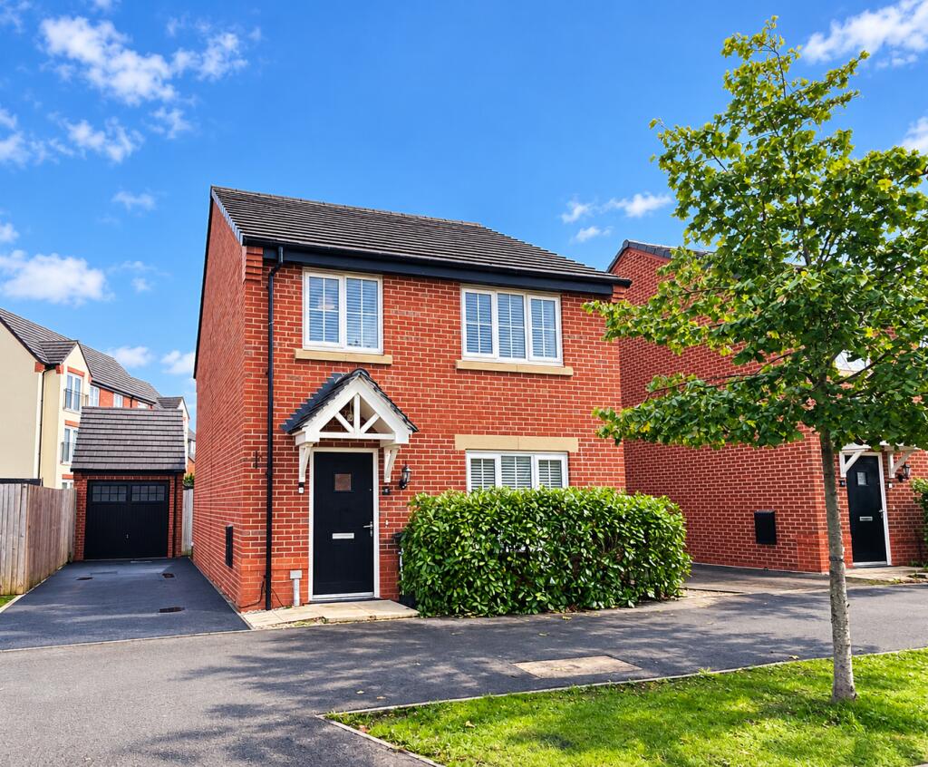
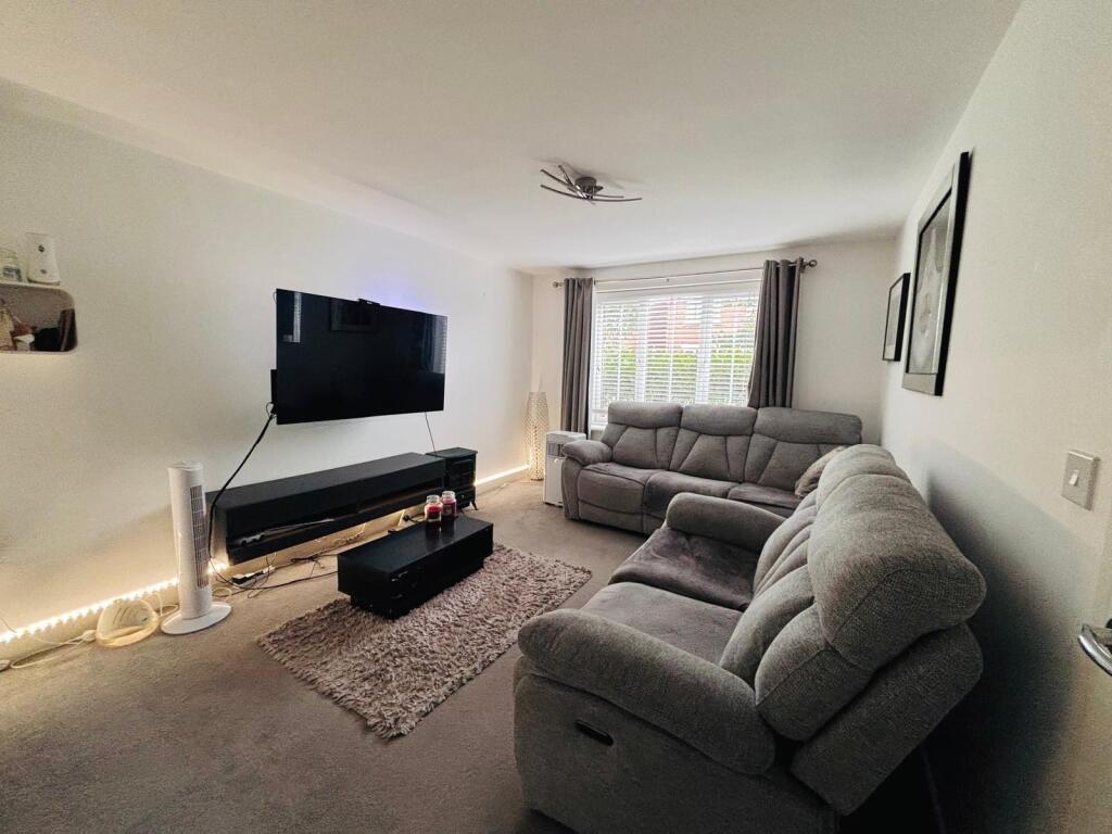
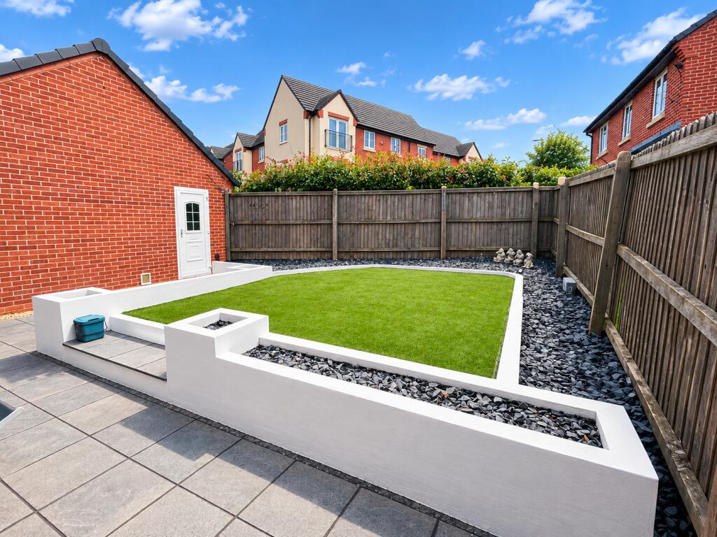
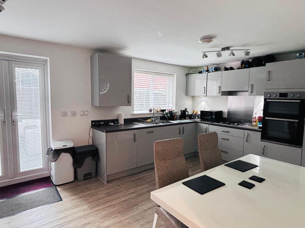
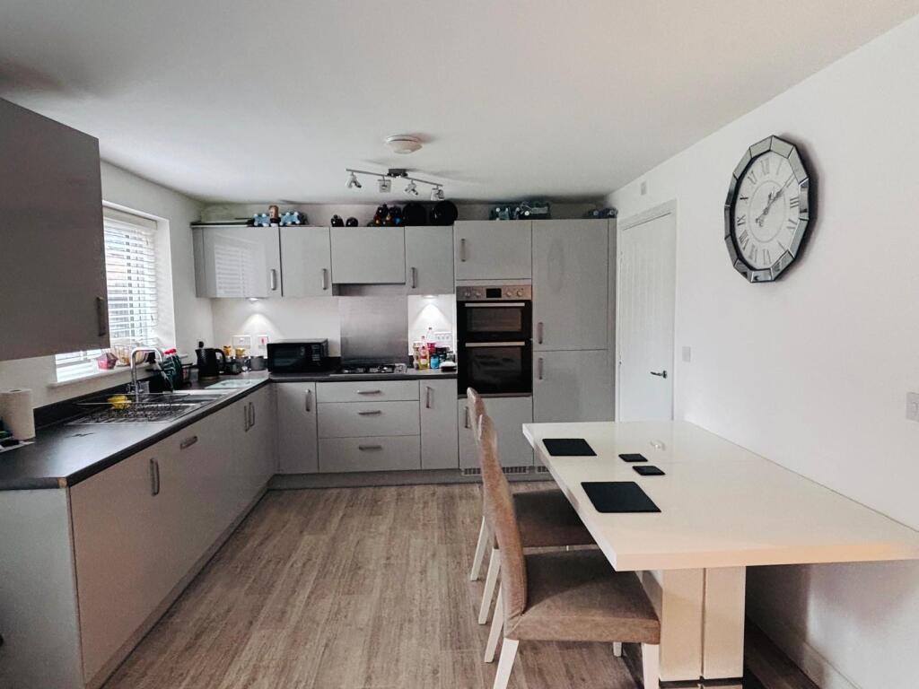
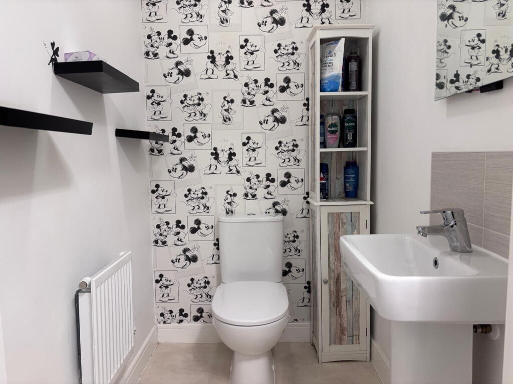
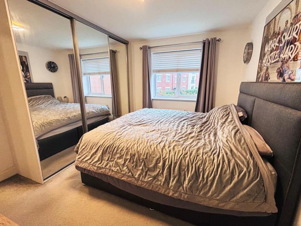
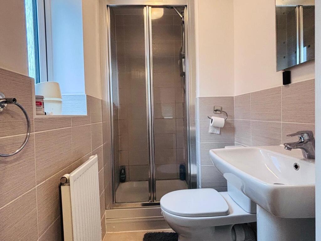
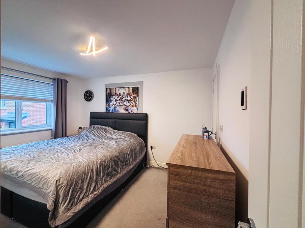
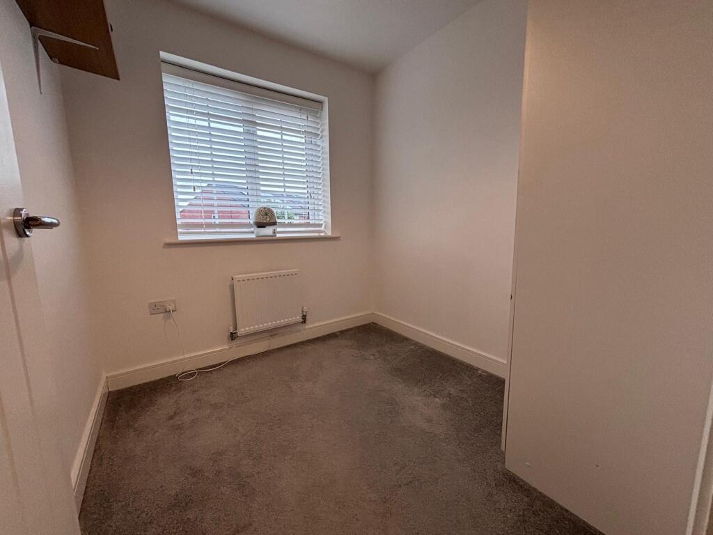
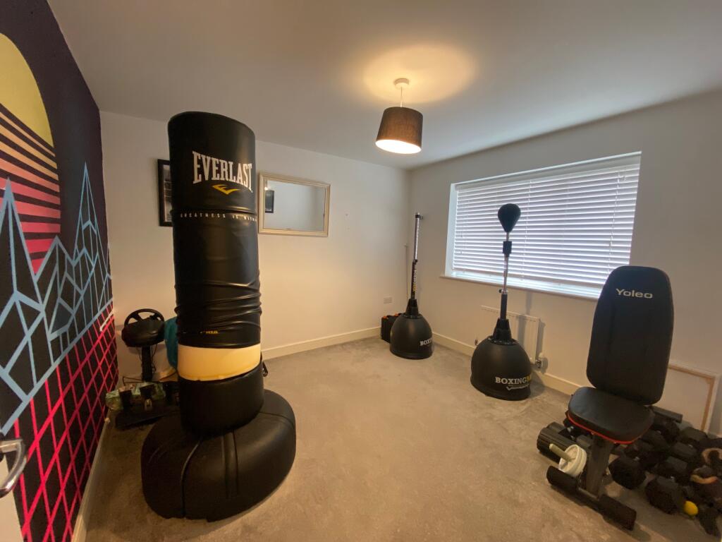
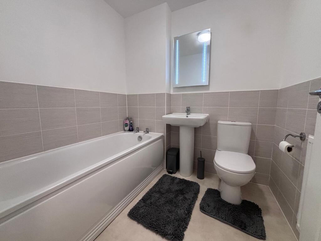
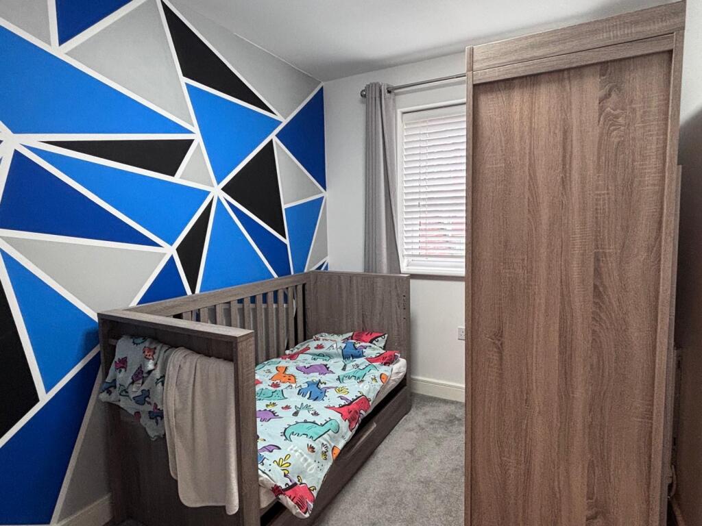
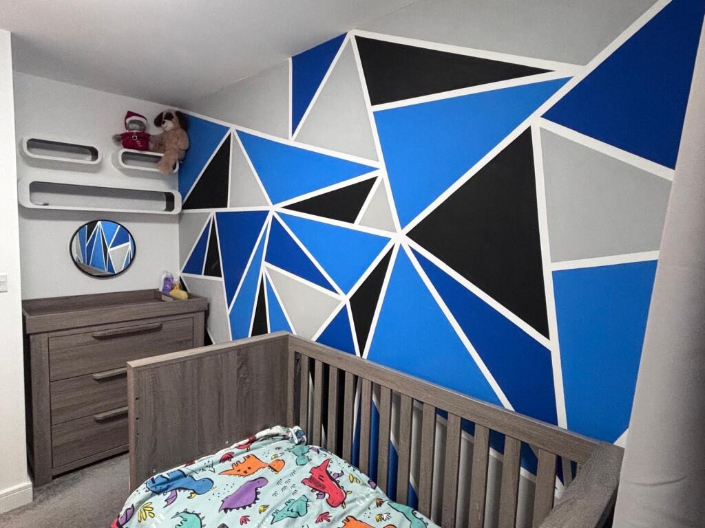
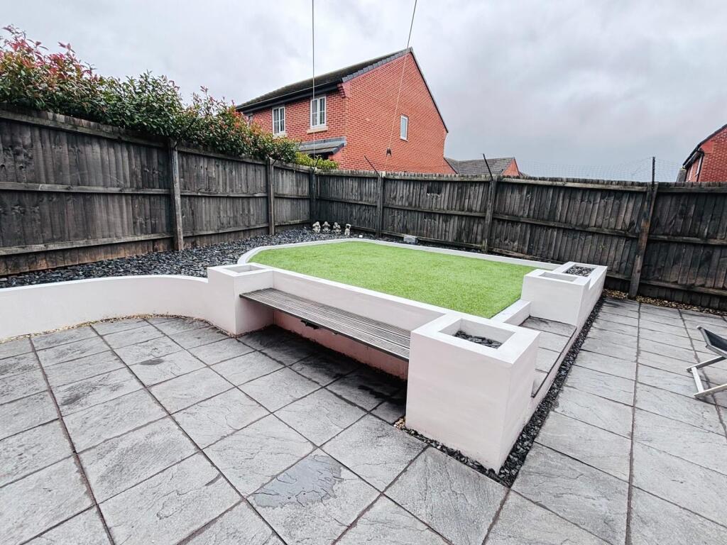
Photo 1 Photo 2 Photo 3 Photo 4 Photo 5 Photo 6 Photo 7 Photo 8 Photo 9 Photo 10 Photo 11 Photo 12 Photo 13 Photo 14 Photo 15
/ 15
Property details
Tenure
FREEHOLD
Floor area
100 m²
Council tax band
D
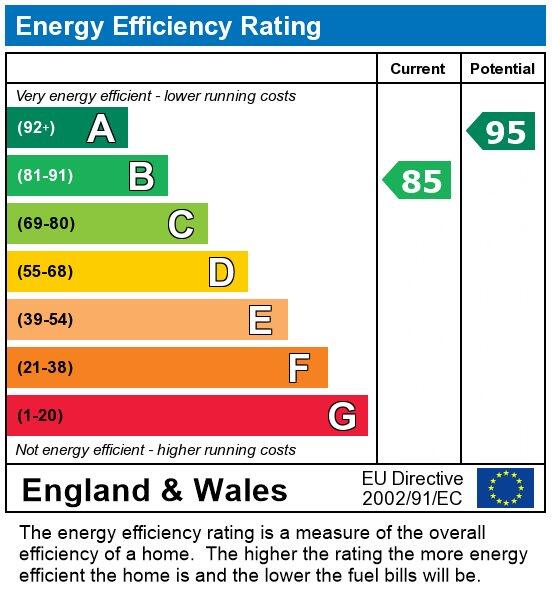
EPC rating
B
Last sold
£255,000 Jul 2022
Price per m²
£2,950/m²
Local average
£292,279 (+0.9%)
Deprivation
Decile 6 (17,948 of 33,755)
Street crime
197 incidents within 1 mile (Aug 2026)
Key features
- Detached family home
- Four bedrooms
- En-Suite To Master
- Driveway
- Garage
- Viewings Highly Recommended
Additional details
- Electricity
- Mains supply
- Broadband
- FTTC (fibre to the cabinet)
- Water
- Mains supply
- Sewerage
- Mains supply
- Heating
- Gas
- Parking
- Garage, Driveway
- Garden
- Enclosed garden, Rear garden
- Listed property
- No
- Restrictions
- No
- Required access
- No
- Rights of way
- No
- Flooded in last 5 years
- No
- Flood defences
- No
Description
Set on a generous plot, the property also boasts a private driveway and a secure garage, providing ample parking and storage options. The area is renowned for its welcoming community atmosphere and is within easy reach of well-regarded local schools, charming parks, and a variety of everyday amenities including supermarkets, cafes, and leisure facilities. For those who commute, excellent transport links make it straightforward to reach the town centre and surrounding areas.
This is a rare opportunity to secure a beautifully presented family home in a highly desirable location. Arrange a viewing today to fully appreciate all that this exceptional property has to offer.
Council Tax Band: D (Cheshire East)
Tenure: Freehold
Listed by
Sandbach
WLL Properties LTD
Reference: 94600110
EPC Rating & Upgrade Cost
Current rating: B
Potential rating: A
Inspection date: 21/05/2019
Expiry date: 20/05/2029
Current heating cost: £239/year
Potential heating cost: £239/year
Est. upgrade cost to C: £9,500
Recommendations
- Solar water heating (£4,000 - £6,000)
- Solar photovoltaic panels, 2.5 kWp (£3,500 - £5,500)
Flood risk
Zone: 1
Risk: Low
Job (default Low)
Registered land (INSPIRE)
This location falls inside an HM Land Registry INSPIRE registered freehold polygon.
Plot: ~103,250 m² (25.51 acres)
Source: HM Land Registry INSPIRE Index Polygons.
Floorplans
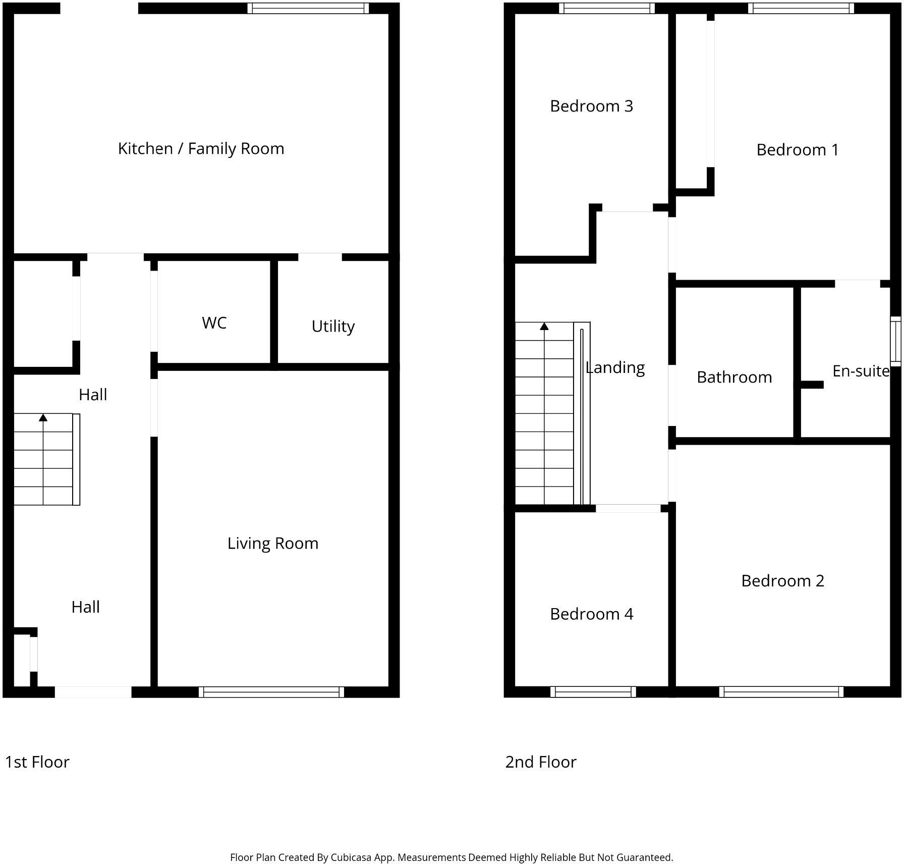
Floorplan 1
EPC Graphs
EPC
Price history
15% since 2019
| Event | Date | Price | % change |
|---|---|---|---|
| Listed for sale | — | £295,000 | +15.7% |
| Sold | 06/07/2022 (4 years ago) | £255,000 | +14.9% |
| Sold | 01/08/2019 (7 years ago) | £221,995 | — |
Source: HM Land Registry Price Paid Data. Crown copyright.
Sold Comparables
Same street and nearby sales within 0.25 miles (last 5 years). Data from Land Registry Price Paid.
| Address | Price | Date | Type |
|---|---|---|---|
| 45 SAMUEL ARMSTRONG WAY, CREWE, CHESHIRE EAST, CW1 4SJ | £280,000 | 15/12/2025 | Detached |
| 104 REMER STREET, COPPENHALL, CREWE, CHESHIRE EAST, CW1 4LT | £285,000 | 04/07/2025 | Detached |
| 60 RANDALLS DRIVE, CREWE, CHESHIRE EAST, CW1 4GL | £293,000 | 28/03/2025 | Detached |
| 2 PURSE DRIVE, CREWE, CHESHIRE EAST, CW1 4LW | £299,995 | 28/06/2024 | Detached |
| 43 RANDALLS DRIVE, CREWE, CHESHIRE EAST, CW1 4GL | £294,995 | 22/12/2023 | Detached |
| 38 RANDALLS DRIVE, CREWE, CHESHIRE EAST, CW1 4GL | £295,995 | 22/12/2023 | Detached |
| 99 REMER STREET, CREWE, CHESHIRE EAST, CW1 4LU | £340,000 | 19/12/2023 | Detached |
| 11 RANDALLS DRIVE, CREWE, CHESHIRE EAST, CW1 4GL | £320,000 | 19/12/2023 | Detached |
| 46 RANDALLS DRIVE, CREWE, CHESHIRE EAST, CW1 4GL | £319,995 | 24/11/2023 | Detached |
| 60 RANDALLS DRIVE, CREWE, CHESHIRE EAST, CW1 4GL | £290,995 | 27/10/2023 | Detached |
| Same street 441 BROAD STREET, CREWE, CHESHIRE EAST, CW1 4GS | £337,500 | 29/09/2023 | Detached |
| 68 RANDALLS DRIVE, CREWE, CHESHIRE EAST, CW1 4GL | £261,995 | 19/05/2023 | Detached |
| 432 BROAD STREET, CREWE, CHESHIRE EAST, CW1 4GT | £300,000 | 19/05/2023 | Detached |
| 66 RANDALLS DRIVE, CREWE, CHESHIRE EAST, CW1 4GL | £275,995 | 28/04/2023 | Detached |
| 70 RANDALLS DRIVE, CREWE, CHESHIRE EAST, CW1 4GL | £279,995 | 28/04/2023 | Detached |
| 72 RANDALLS DRIVE, CREWE, CHESHIRE EAST, CW1 4GL | £310,995 | 28/04/2023 | Detached |
| 78 RANDALLS DRIVE, CREWE, CHESHIRE EAST, CW1 4GL | £268,995 | 24/03/2023 | Detached |
| 92 RANDALLS DRIVE, CREWE, CHESHIRE EAST, CW1 4GL | £309,995 | 23/03/2023 | Detached |
| 94 RANDALLS DRIVE, CREWE, CHESHIRE EAST, CW1 4GL | £303,995 | 17/03/2023 | Detached |
| 88 RANDALLS DRIVE, CREWE, CHESHIRE EAST, CW1 4GL | £270,995 | 02/03/2023 | Detached |
| 90 RANDALLS DRIVE, CREWE, CHESHIRE EAST, CW1 4GL | £308,995 | 17/02/2023 | Detached |
| Same street 439 BROAD STREET, CREWE, CHESHIRE EAST, CW1 4GS | £235,000 | 24/10/2022 | Detached |
Street average: £286,250 (2 sales)
Area average: £295,597 (20 sales)
Capital growth trend
Land Registry outcode average: last 12 months vs 5y and 10y ago (from sold prices).
House Price Index (HM Land Registry — official index, not sold-price averages): Cheshire East. Series: Detached. As of July 2026.
Rental Range
Estimated market rent for Cheshire East. Low = conservative, Realistic = average, Optimistic = best case.
Based on Local Authority from postcode lookup → Cheshire East.
LHA (30th percentile) floor for South Cheshire: £992/mo (Apr 2025 – Mar 2026)
Location
Nearby
Nearest stations, universities and amenities (distance from property).
| Type | Name | Distance |
|---|---|---|
| Bus stop | Coppenhall, Remer Street / Middlewich Street | 0.2 miles |
| Bus stop | Coppenhall, Remer Street / Monks Coppenhall Primary Sch | 0.2 miles |
| Shop | Greenway Cakes | 0.2 miles |
| Shop | Crewe Cuts | 0.3 miles |
| University | University of Buckingham Crewe Campus | 1.5 miles |
| Train station | Crewe | 1.7 miles |
| Train station | Sandbach | 3.1 miles |
| Hospital | Tarporley War Memorial Hospital | 10.1 miles |
| University | Keele University | 10.4 miles |
| Hospital | Haywood Hospital Walk-in Centre | 11.0 miles |
Street-level crime
| Category | Count |
|---|---|
| Violence and sexual offences | 94 |
| Public order | 21 |
| Anti-social behaviour | 15 |
| Criminal damage and arson | 14 |
| Other theft | 14 |
| Other crime | 9 |
| Shoplifting | 9 |
| Drugs | 6 |
| Burglary | 4 |
| Possession of weapons | 4 |
| Vehicle crime | 4 |
| Robbery | 3 |
| Total incidents | 197 |
Within 1 mile during Aug 2026. Source: data.police.uk (England & Wales).
Schools nearby
Nearest open schools with Ofsted ratings (England). Closed schools are not shown. Data from Get Information about Schools and Ofsted.
| Name | Type | Distance | Ofsted |
|---|---|---|---|
| Monks Coppenhall Academy | Primary | 0.2 miles | Good — 21 Dec 2023 |
| Sir William Stanier School | Secondary | 0.6 miles | — (Inspected (no overall grade)) |
| St Michael's Community Academy | Primary | 0.6 miles | Requires improvement — 18 Jan 2024 |
| Oakfield Lodge School | Other | 0.8 miles | Requires improvement — 16 Oct 2018 |
| Cornerstone Academy | Other | 0.8 miles | Good — 16 Jan 2022 |
Rental Comparables
Rental comparables data is not available for this property.
Rent-driven metrics
Based on Area rent estimate.
- Rent ratio — Monthly rent ÷ purchase price (1% rule). 1%+ = strong, 0.8–1% = okay, <0.8% = weak for cashflow.
- Max investor price — Rent ÷ 0.8%; the price at which rent would be 0.8% of price (Stoke-style target).
- Target investor price — Rent ÷ 1%; the price at which rent would be 1% of price (strong cashflow band).
- Gross yield — Annual rent as % of purchase price (no costs).