Mount Pleasant
Chesterton, ST5, ST5 7LQ
£850 pcm
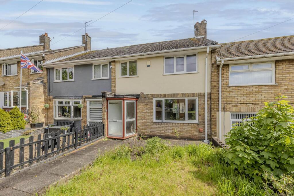
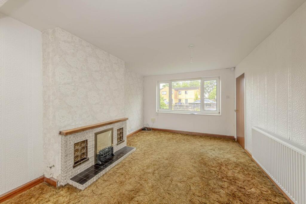
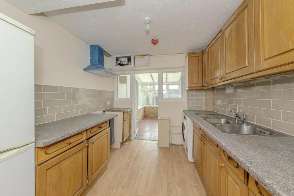
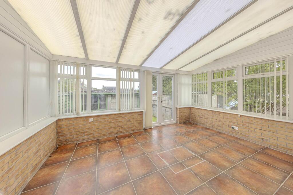
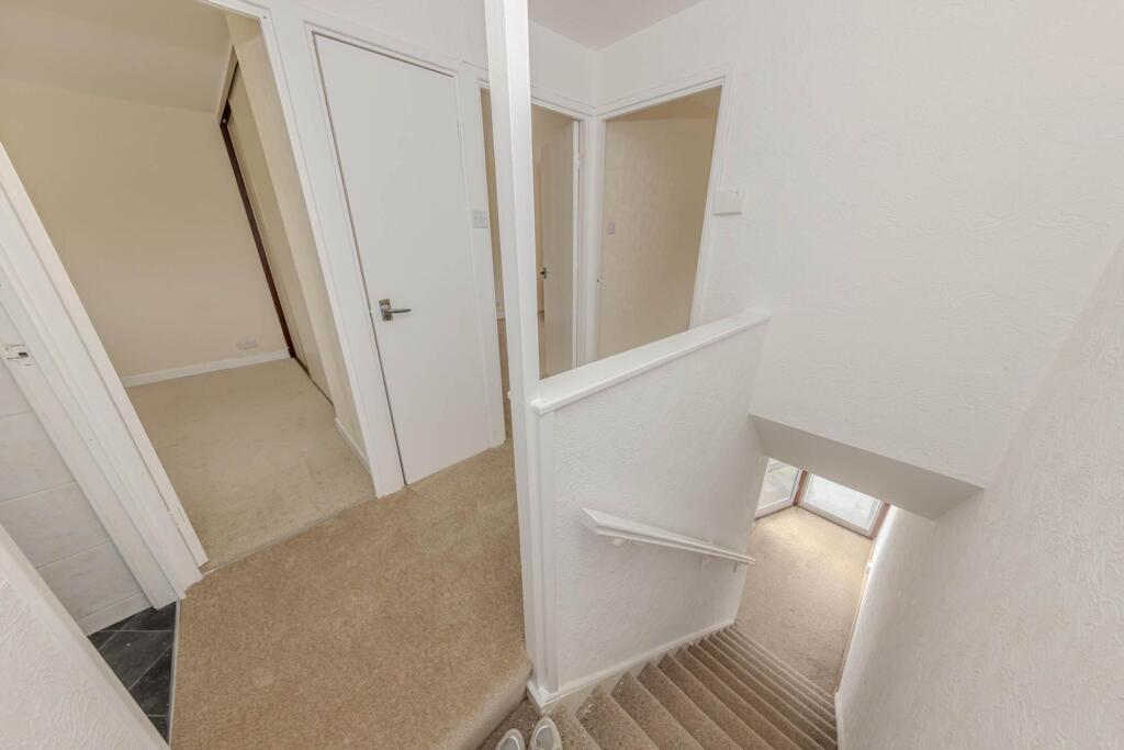
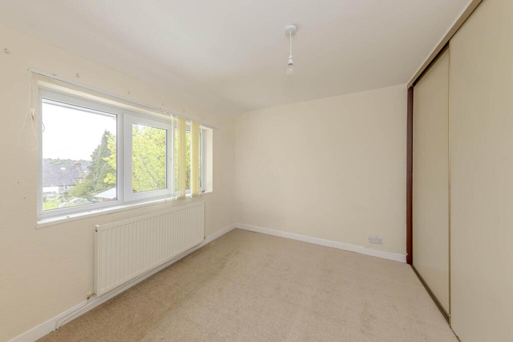
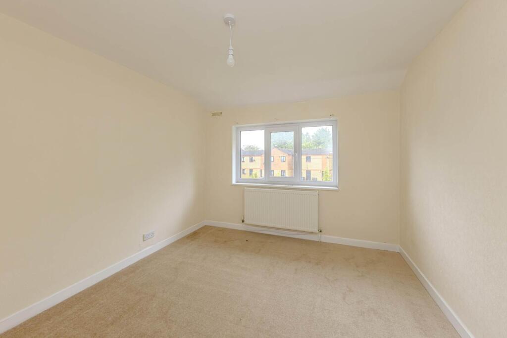
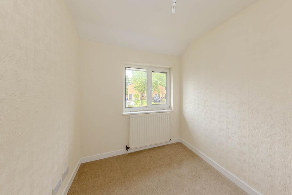
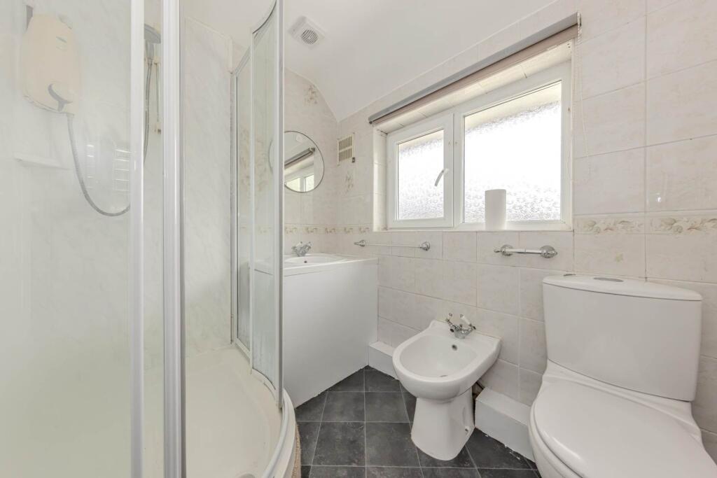
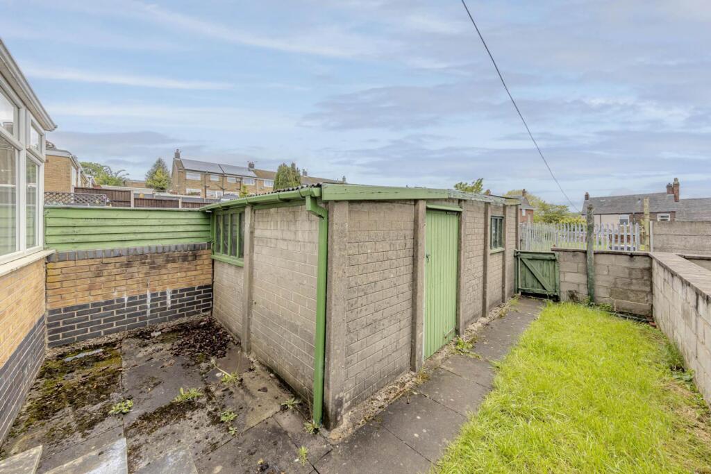
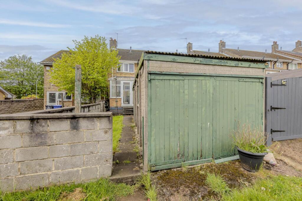
Photo 1 Photo 2 Photo 3 Photo 4 Photo 5 Photo 6 Photo 7 Photo 8 Photo 9 Photo 10 Photo 11
/ 11
Property details
Council tax band
A
Deprivation
Decile 2 (4,895 of 33,755)
Street crime
133 incidents within 1 mile (Apr 2026)
Additional details
- Heating
- Gas central
- Parking
- Yes
- Garden
- Yes
- Listed property
- No
- Restrictions
- No
- Required access
- No
- Rights of way
- No
- Flooded in last 5 years
- No
- Flood defences
- No
Description
EPC Rating: D
Listed by
Newcastle-under-Lyme
Critchlow Estate Agents
Reference: 89304567
EPC ratings on this postcode
We don't have a matched EPC for this property yet. Below are efficiency scores and details for other addresses on this postcode.
| Address | Current | Potential | Floor area | Age band | Type |
|---|---|---|---|---|---|
| 10 Mount Pleasant, Chesterton, NEWCASTLE | 69 | 88 | 52 m² | England and Wales: 1991-1995 | Terraced |
| 11 MOUNT PLEASANT, CHESTERTON, NEWCASTLE | 69 | 87 | 51 m² | England and Wales: 1991-1995 | Terraced |
| 12, Mount Pleasant, Chesterton, NEWCASTLE | 70 | 85 | 70 m² | England and Wales: 1991-1995 | Terraced |
| 15 Mount Pleasant, Chesterton, NEWCASTLE | 76 | 89 | 56 m² | England and Wales: 1991-1995 | Terraced |
| 16 Mount Pleasant, Chesterton, NEWCASTLE | 76 | 90 | 52 m² | England and Wales: 1991-1995 | Terraced |
| 17, Mount Pleasant, Chesterton, NEWCASTLE | 65 | 84 | 50 m² | England and Wales: 1983-1990 | Terraced |
| 18, Mount Pleasant, Chesterton, NEWCASTLE | 64 | 84 | 50 m² | England and Wales: 1996-2002 | Terraced |
| 21, Mount Pleasant, Chesterton, NEWCASTLE | 70 | 86 | 53 m² | England and Wales: 1983-1990 | Terraced |
| 54, Mount Pleasant, Chesterton, NEWCASTLE | 47 | 81 | 80 m² | England and Wales: 1967-1975 | Detached |
| 55, Mount Pleasant, Chesterton, NEWCASTLE | 59 | 84 | 89 m² | England and Wales: 1950-1966 | Detached |
| 57 Mount Pleasant, Chesterton, NEWCASTLE | 68 | 83 | 71 m² | England and Wales: 1950-1966 | Terraced |
| 59 Mount Pleasant, Chesterton, NEWCASTLE | 73 | 84 | 73 m² | England and Wales: 1967-1975 | Terraced |
| 59, Mount Pleasant, Chesterton, NEWCASTLE | 67 | 84 | 72 m² | England and Wales: 1967-1975 | Terraced |
| 60, Mount Pleasant, Chesterton, NEWCASTLE | 66 | 86 | 88 m² | England and Wales: 1950-1966 | Terraced |
| 61 Mount Pleasant, Chesterton, NEWCASTLE | 72 | 80 | 97 m² | England and Wales: 1950-1966 | Terraced |
Flood risk
Zone: 1
Risk: Low
Job (default Low)
Rental Range
Estimated market rent for Newcastle-under-Lyme. Low = conservative, Realistic = average, Optimistic = best case.
Based on Local Authority from postcode lookup → Newcastle-under-Lyme.
LHA (30th percentile) floor for Staffordshire North: £593/mo (Apr 2025 – Mar 2026)
Location
Address
Mount Pleasant
Nearby
Nearest stations, universities and amenities (distance from property).
| Type | Name | Distance |
|---|---|---|
| Shop | Longstaff Cycles | 0.2 miles |
| Bus stop | Library | 0.2 miles |
| Bus stop | The Hollows | 0.2 miles |
| Shop | Meelie Mobile | 0.5 miles |
| Train station | Apedale Road | 0.6 miles |
| Train station | Silverdale | 0.6 miles |
| University | Keele University | 2.6 miles |
| Hospital | Royal Stoke University Hospital | 2.9 miles |
| Hospital | Haywood Hospital Walk-in Centre | 2.9 miles |
| University | University of Buckingham Crewe Campus | 8.0 miles |
Street-level crime
| Category | Count |
|---|---|
| Violence and sexual offences | 56 |
| Anti-social behaviour | 21 |
| Criminal damage and arson | 15 |
| Public order | 13 |
| Shoplifting | 8 |
| Other crime | 7 |
| Other theft | 5 |
| Burglary | 3 |
| Drugs | 2 |
| Vehicle crime | 2 |
| Bicycle theft | 1 |
| Total incidents | 133 |
Within 1 mile during Apr 2026. Source: data.police.uk (England & Wales).
Schools nearby
Nearest open schools with Ofsted ratings (England). Closed schools are not shown. Data from Get Information about Schools and Ofsted.
| Name | Type | Distance | Ofsted |
|---|---|---|---|
| Chesterton Community Sports College | Secondary | 0.1 miles | Good — 13 Nov 2022 |
| Churchfields Primary School | Primary | 0.3 miles | Outstanding — 15 Sep 2015 |
| Chesterton Primary School | Primary | 0.4 miles | Good — 8 Jul 2021 |
| Crackley Bank Primary School | Primary | 0.7 miles | Good — 21 May 2023 |
| Sun Academy Bradwell | Primary | 0.7 miles | Good — 11 Sep 2018 |
Rental Comparables
Residential lets from OpenRent and Rightmove for the area (same bedroom count). Use to validate rent estimates. Student lets are excluded.
Average rent: £959/mo (37 listings)
Enter House Number
Enter the house number to help us retrieve more accurate pricing history and property data.
Please log in to submit or correct the house number for this listing.
Log in to continue