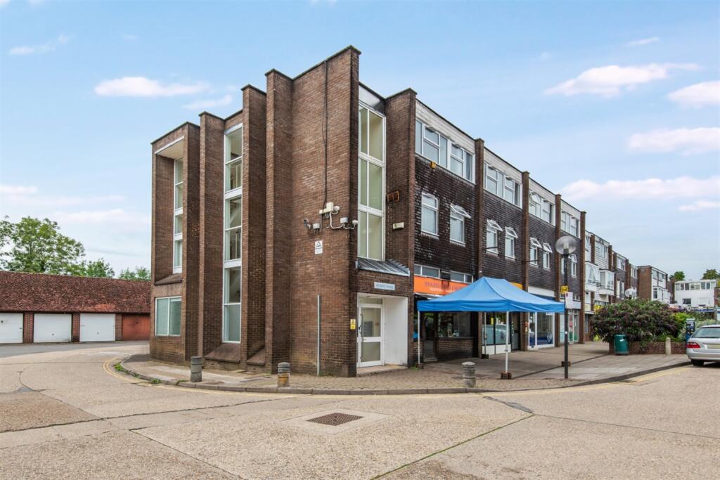
FLAT 6
ATLANTIC HOUSE, JENGERS MEAD, BILLINGSHURST, WEST SUSSEX RH14 9PB
£850 pcm
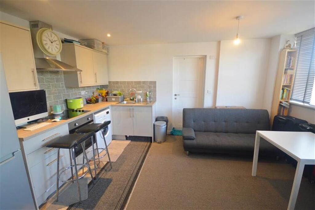


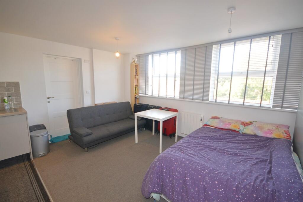
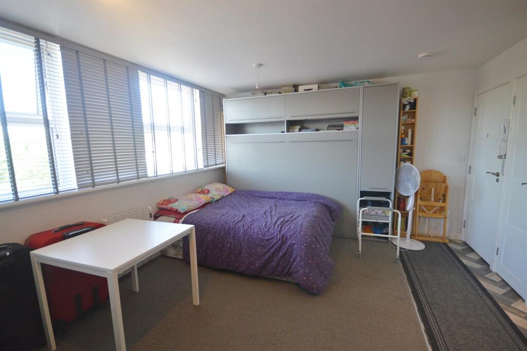
Property details
Floor area
28 m²
Council tax band
A
EPC rating
C
Deprivation
Decile 6 (18,967 of 33,755)
Street crime
29 incidents within 1 mile (Apr 2026)
Additional details
- Heating
- Electric
- Parking
- Yes
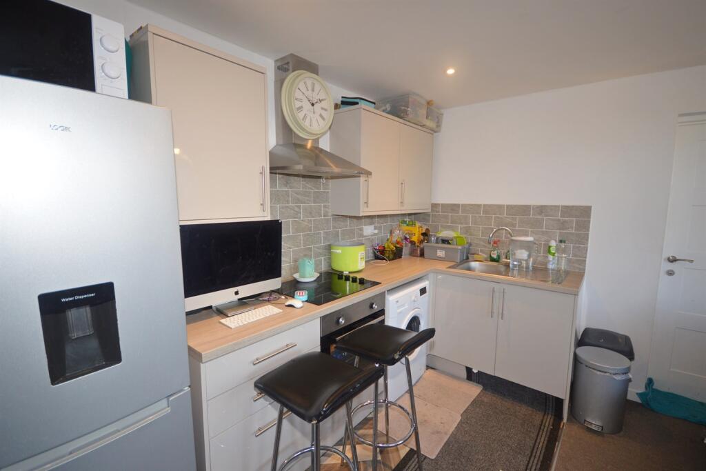
Description
Type of Property: Apartment
Construction- Brick
Construction type roof- Flat roof
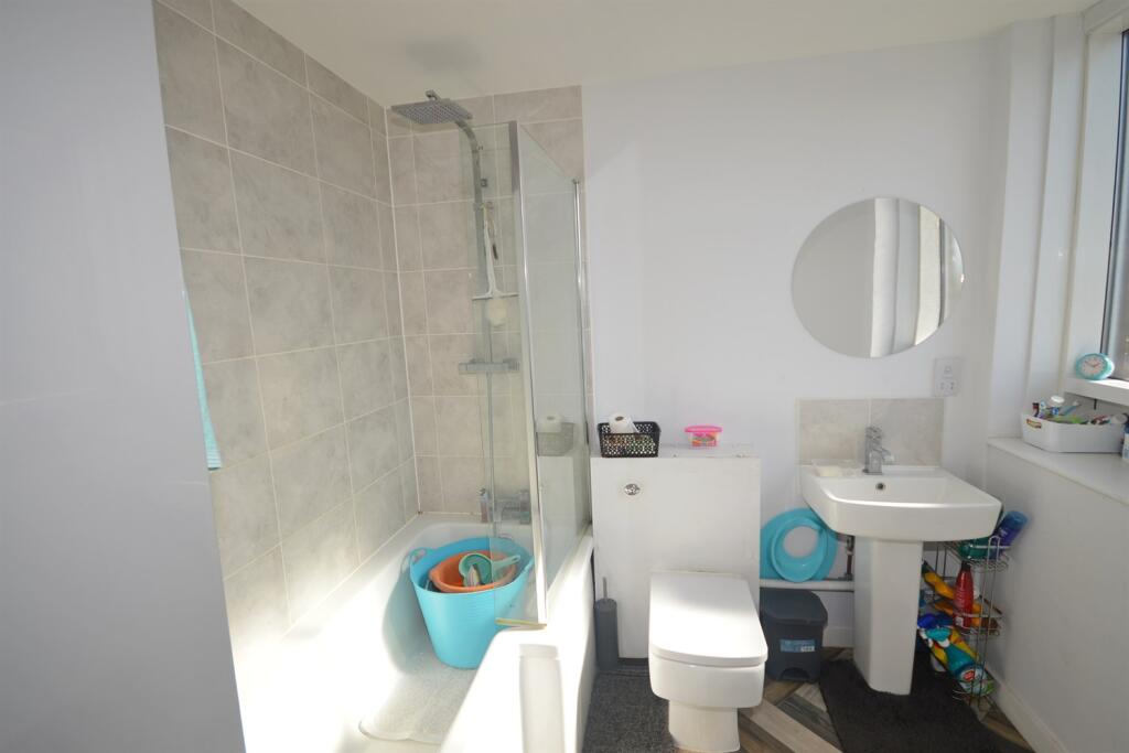
Sewerage: Mains drainage
Water- Mains, Metered
Heating Type- Electric Room heaters
Utility Information - Electric and Water
Parking- None
Building Safety: None declared.
Restrictions (Lease, Building Status, Covenants): Head Lease
Flood Risk - Low risk
Coastal Erosion- Low risk
Property accessibility/adaptations- No
Coalfield or mining area- No
Broadband: Broadband (Download speed available from Ofcom or your provider)
Mobile Reception - Multiple Networks Available (Information available from Ofcom)
Planning Permission or Proposal for development (Local authority postcode search) - Planning applications nearby please see local authority website for further information.
Damp: Condensation in bathroom but preventative works works completed
Listed by
Storrington and Billinghurst
Henry Adams
Reference: 164459519
EPC Rating & Upgrade Cost
Current rating: C
Potential rating: C
Inspection date: 15/06/2023
Expiry date: 14/06/2033
Current heating cost: £521/year
Potential heating cost: £521/year
Flood risk
Zone: 1
Risk: Low
Job (default Low)
EPC Graphs

EPC Graph
Rental Range
Estimated market rent for Horsham. Low = conservative, Realistic = average, Optimistic = best case.
Based on Local Authority from postcode lookup → Horsham.
LHA (30th percentile) floor for Walton: Apr 2025 – Mar 2026
Location
Address
Rosehill
Nearby
Nearest stations, universities and amenities (distance from property).
| Type | Name | Distance |
|---|---|---|
| Bus stop | Jengers Mead | 0.0 miles |
| Shop | Unknown | 0.0 miles |
| Shop | CoCo's | 0.0 miles |
| Train station | Billingshurst | 0.6 miles |
| Train station | Christ's Hospital | 4.2 miles |
| Hospital | Horsham Hospital | 6.3 miles |
| University | Mullard Space Science Laboratory | 10.3 miles |
| Hospital | St Catherine's Hospice | 11.9 miles |
Street-level crime
| Category | Count |
|---|---|
| Violence and sexual offences | 10 |
| Anti-social behaviour | 8 |
| Criminal damage and arson | 4 |
| Vehicle crime | 3 |
| Burglary | 1 |
| Other theft | 1 |
| Shoplifting | 1 |
| Theft from the person | 1 |
| Total incidents | 29 |
Within 1 mile during Apr 2026. Source: data.police.uk (England & Wales).
Schools nearby
Nearest open schools with Ofsted ratings (England). Closed schools are not shown. Data from Get Information about Schools and Ofsted.
| Name | Type | Distance | Ofsted |
|---|---|---|---|
| Billingshurst Primary Academy | Primary | 0.4 miles | Requires improvement — 11 May 2023 |
| Weald School, The | Secondary | 0.5 miles | — (Inspected (no overall grade)) |
| Ingfield Manor School | Other | 1.7 miles | Good — 13 Dec 2013 |
| Apple Orchard School | Other | 2.1 miles | Good — 24 Jan 2023 |
| Wisborough Green Primary School | Primary | 2.3 miles | Good — 8 Feb 2018 |
Rental Comparables
Loading rental comparables for this postcode. Refresh in a few minutes.