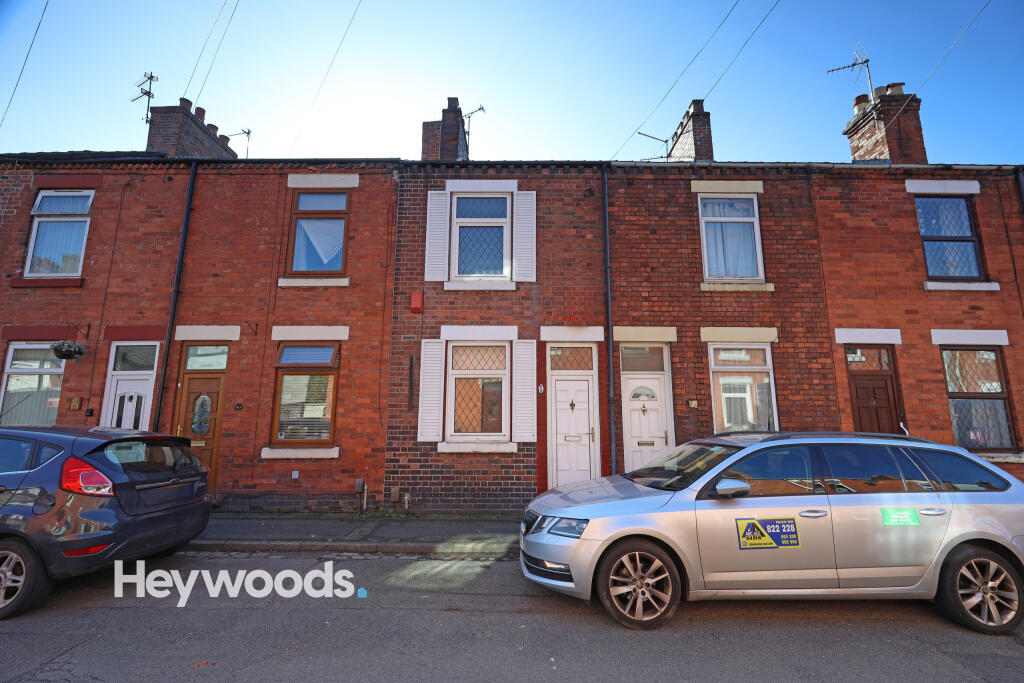
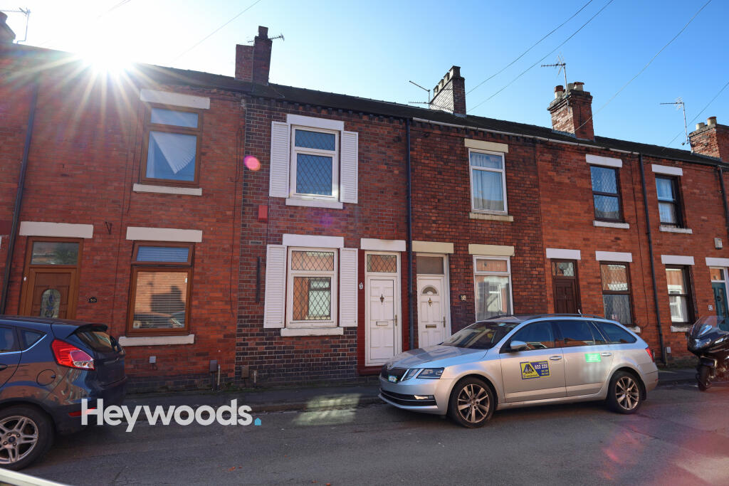
48 STUBBS GATE
NEWCASTLE, STAFFORDSHIRE ST5 1LU
£795 pcm
099A6903 099A6846 099A6837 099A6838 099A6843 099A6849 099A6852 099A6853 099A6855 099A6859 099A6861 099A6863 099A6867 099A6869 099A6870 099A6872 099A6875 099A6878 099A6879 099A6880 099A6883 099A6884 099A6890 099A6892 099A6894 099A6895 099A6896 099A6897 099A6898 099A6899 099A6900 099A6901 099A6902
/ 33
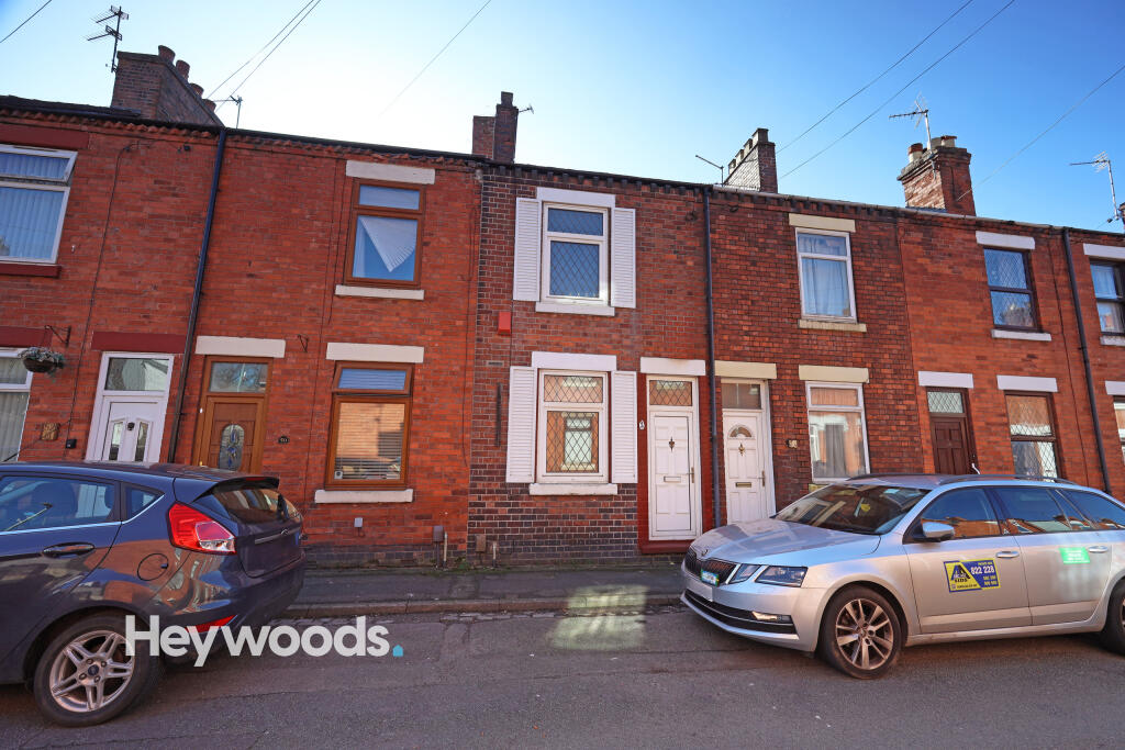
Property details
Floor area
66 m²
Deprivation
Decile 4 (10,391 of 33,755)
Street crime
330 incidents within 1 mile (Apr 2026)
Key features
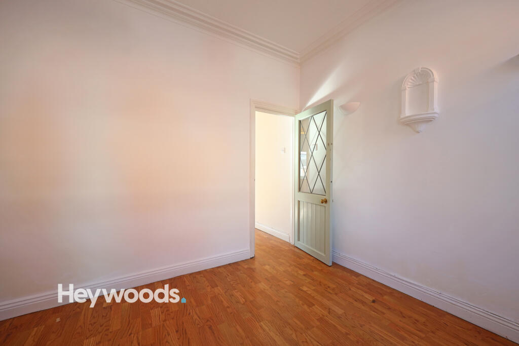
- 2 spacious living areas
- Modern kitchen
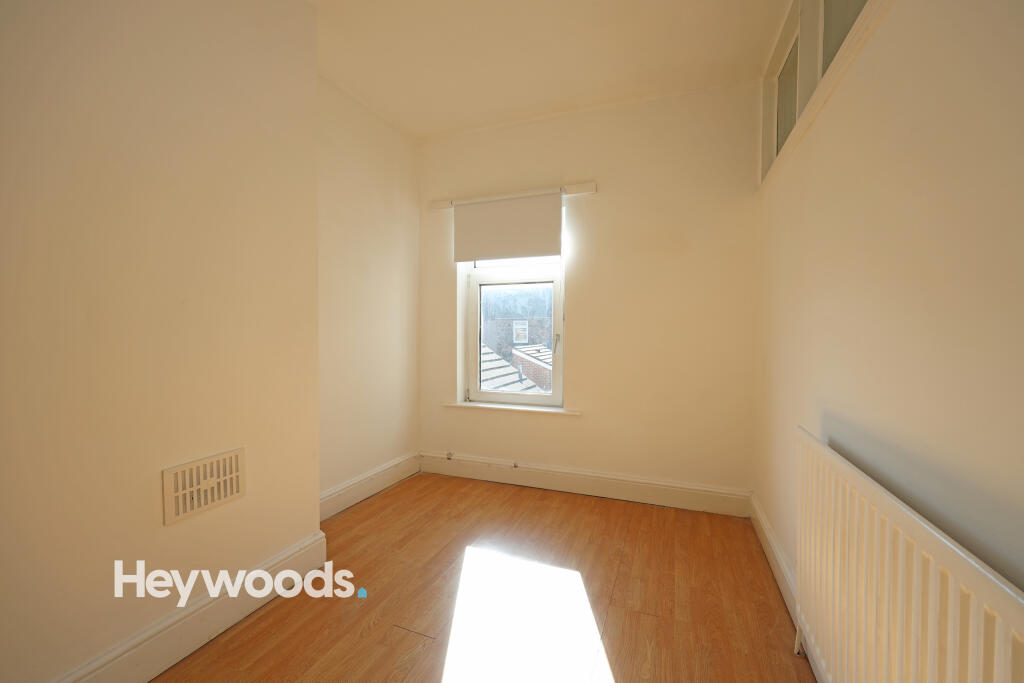
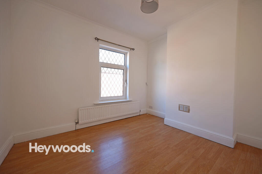
- 2 good sized bedrooms
- Excellent location
Additional details
- Accessibility
- No wheelchair access
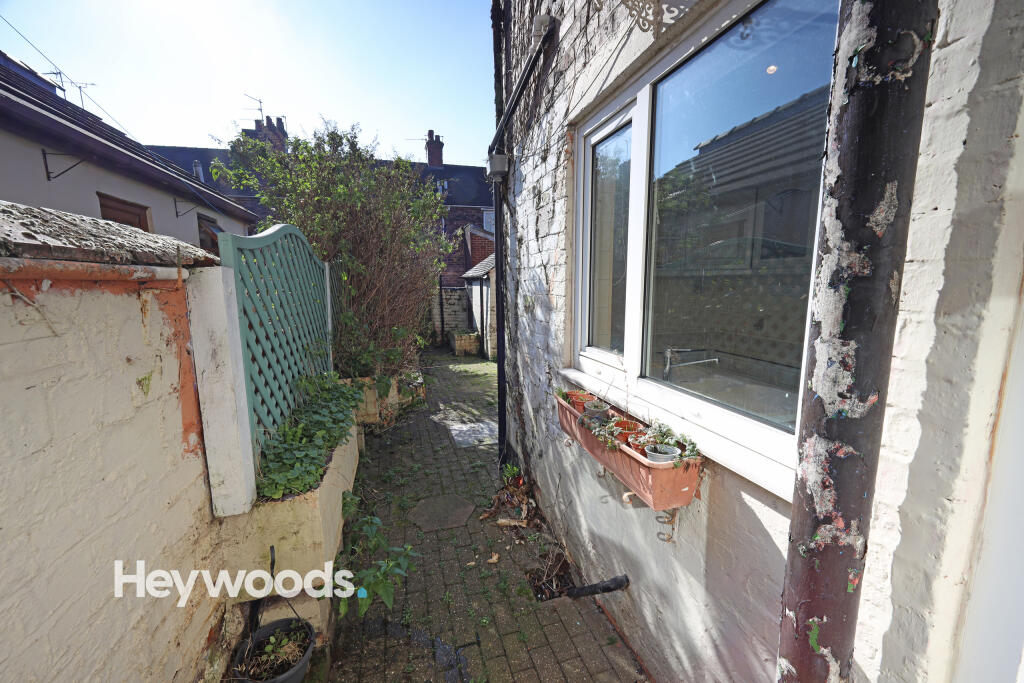
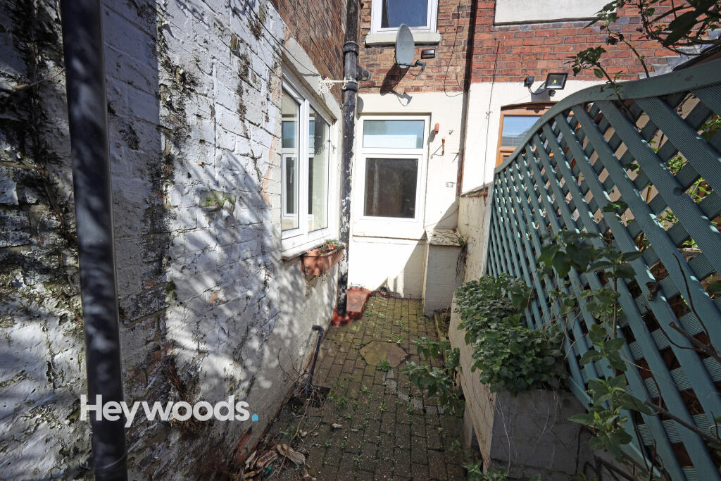
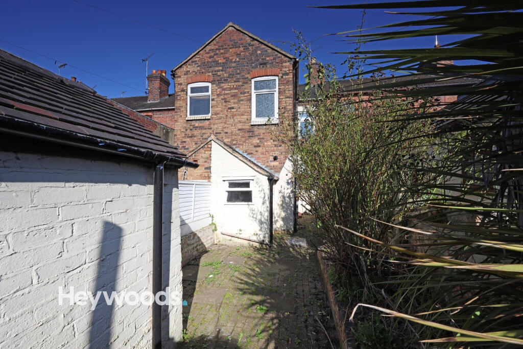
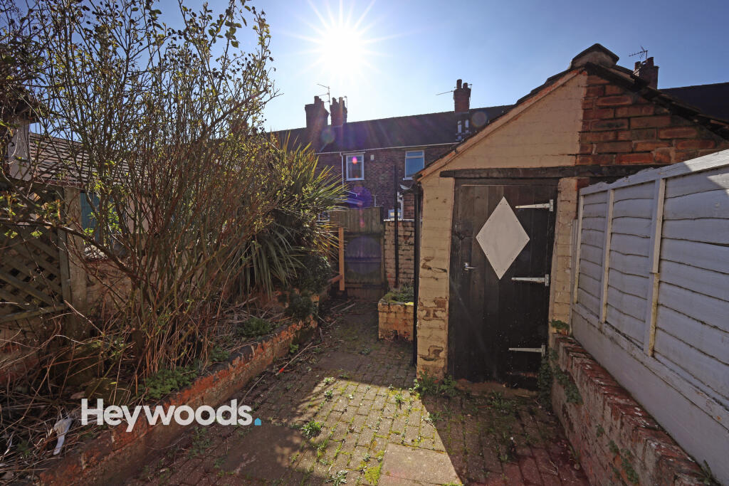
- Garden
- Yes
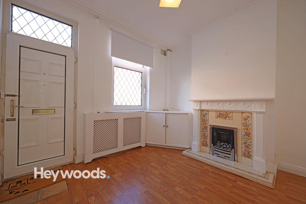
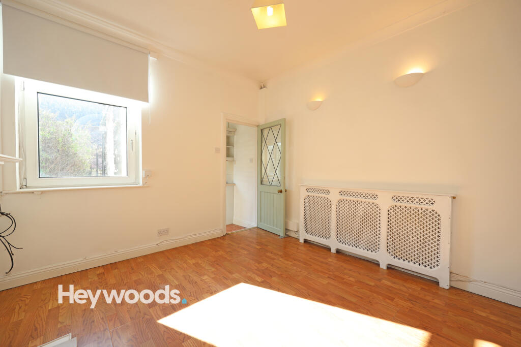
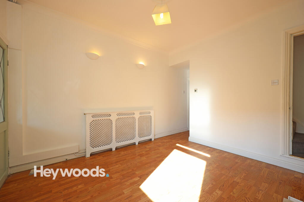
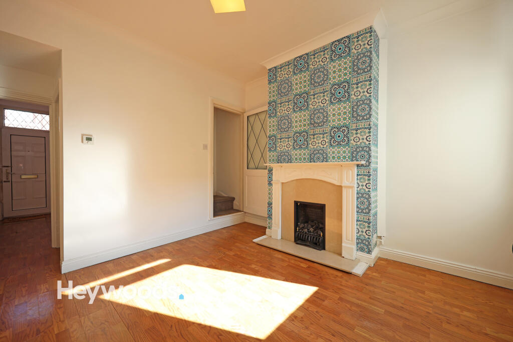
Description
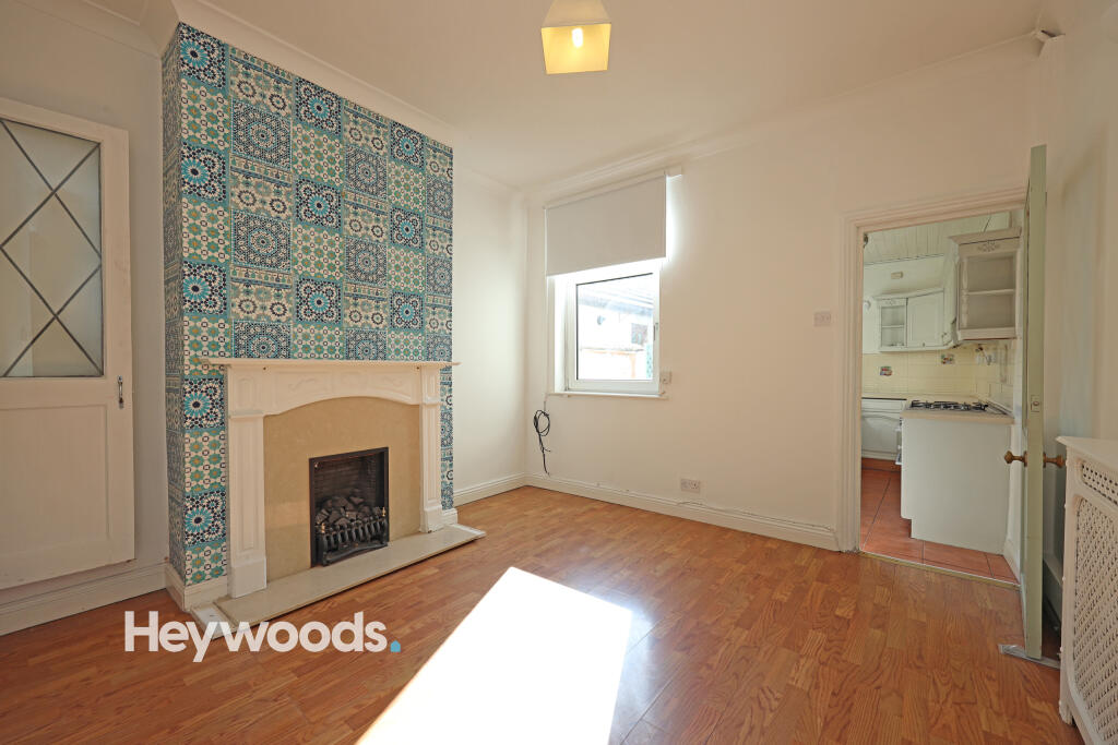
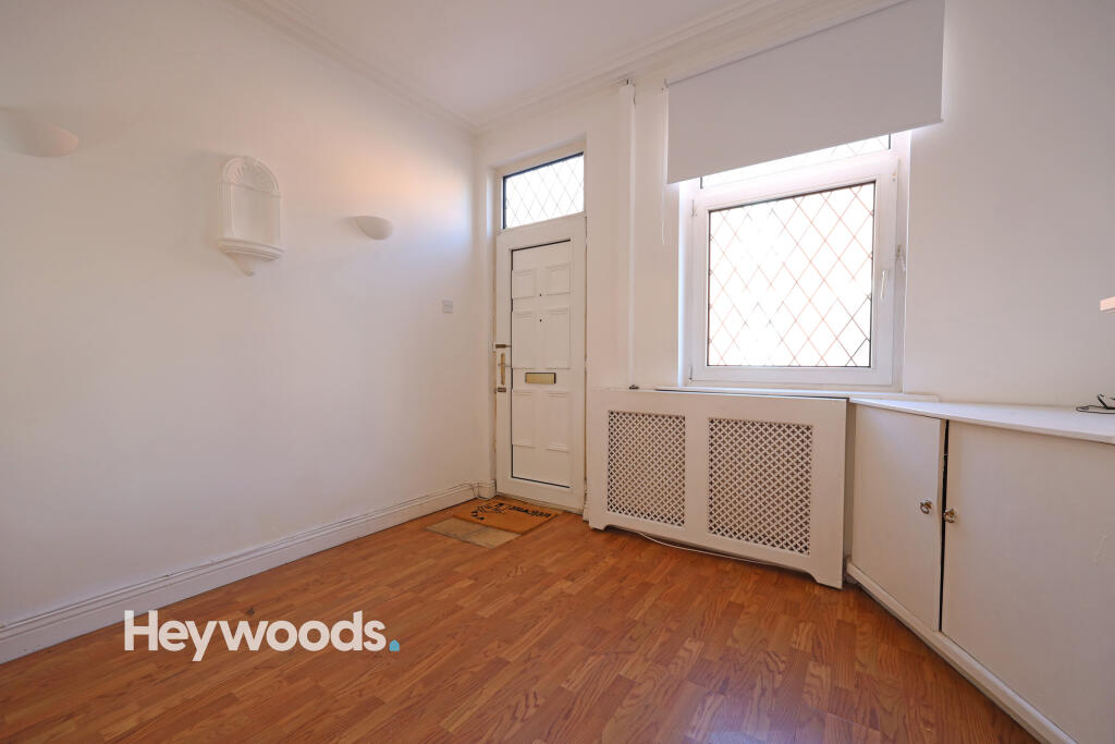
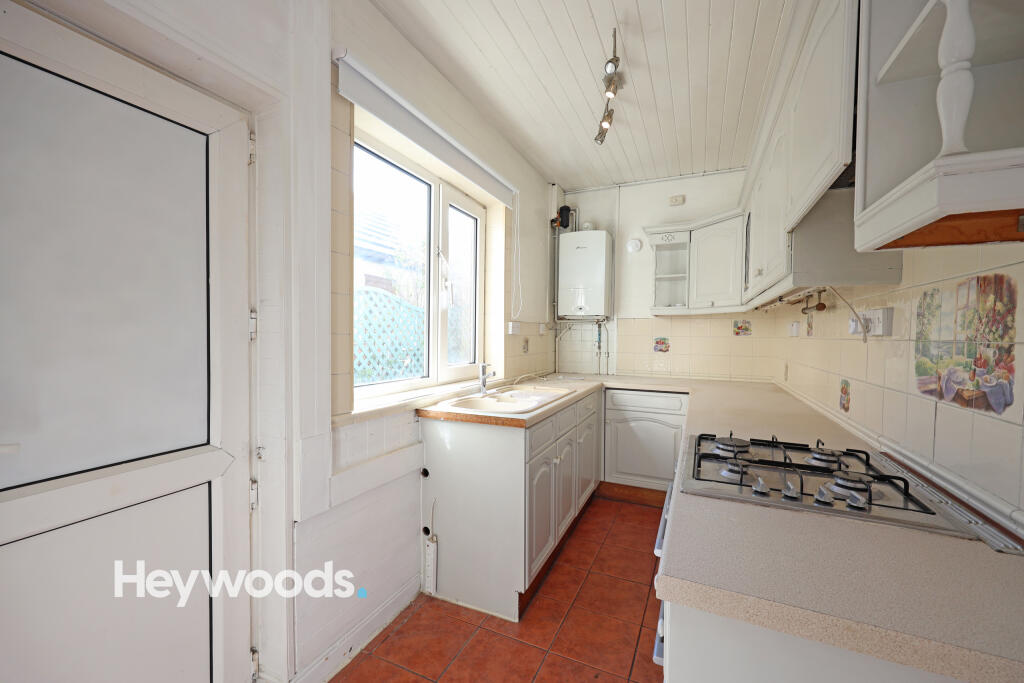
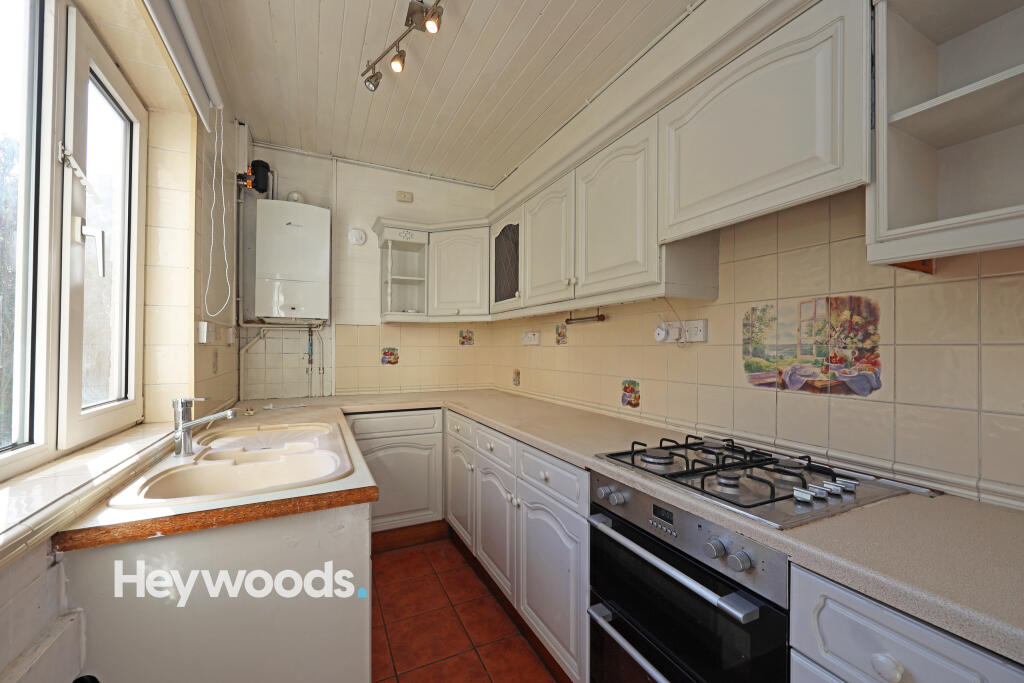
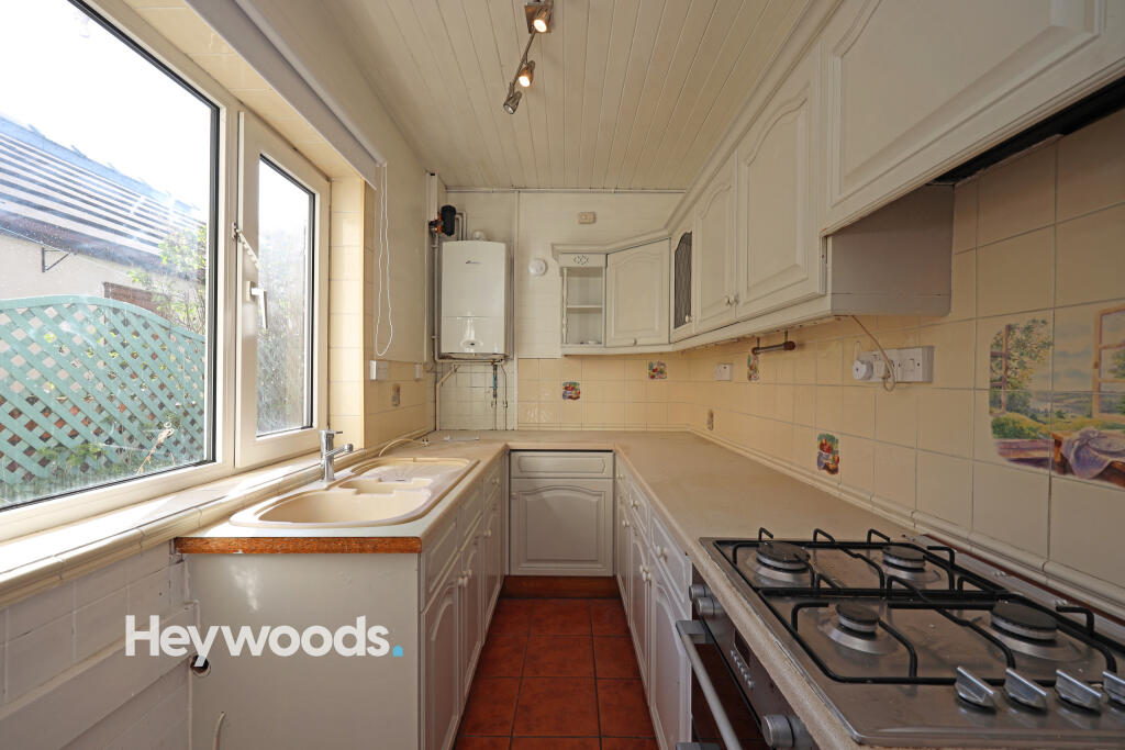
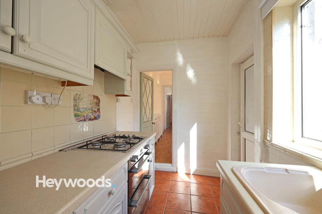
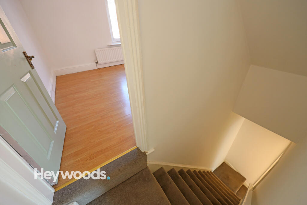
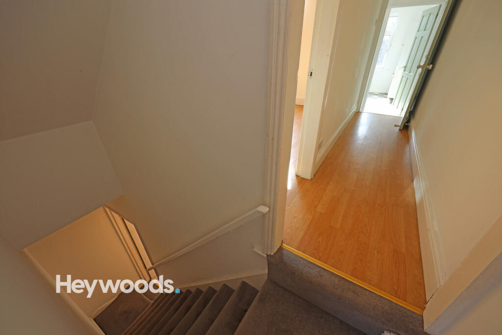
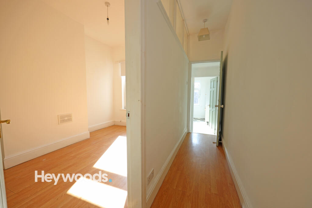
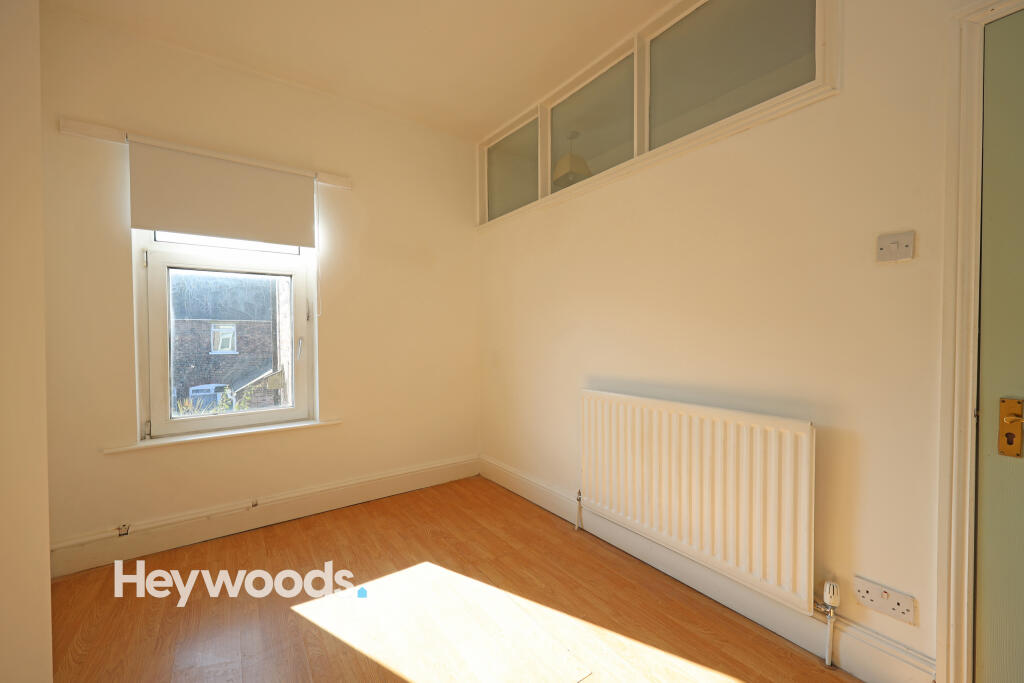
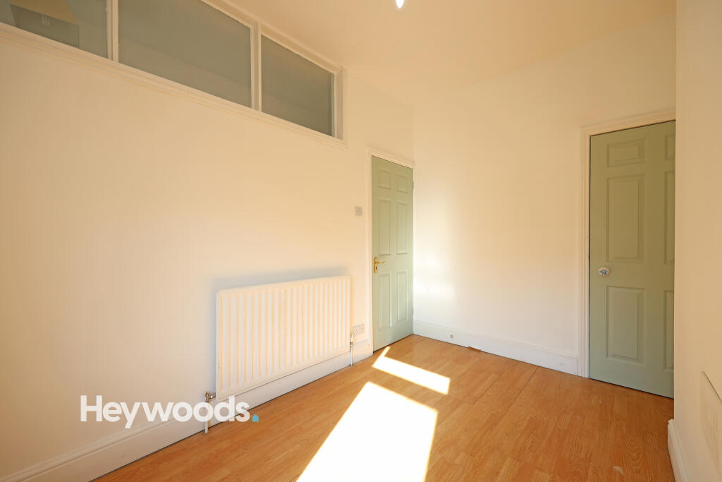
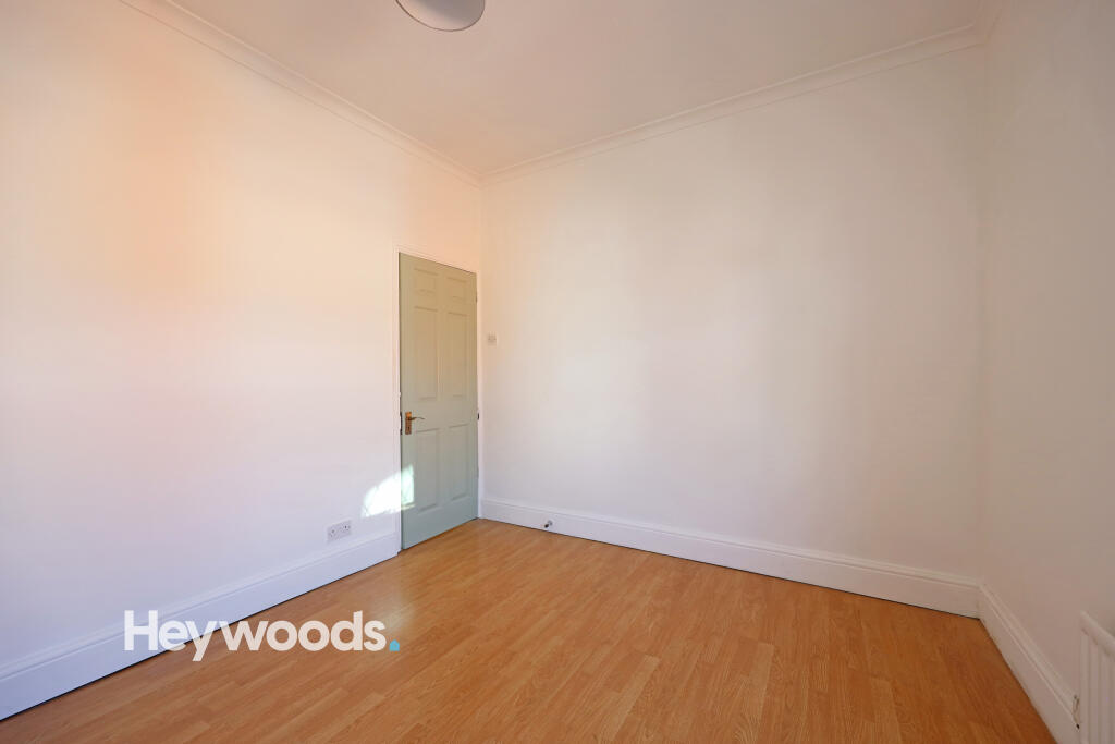
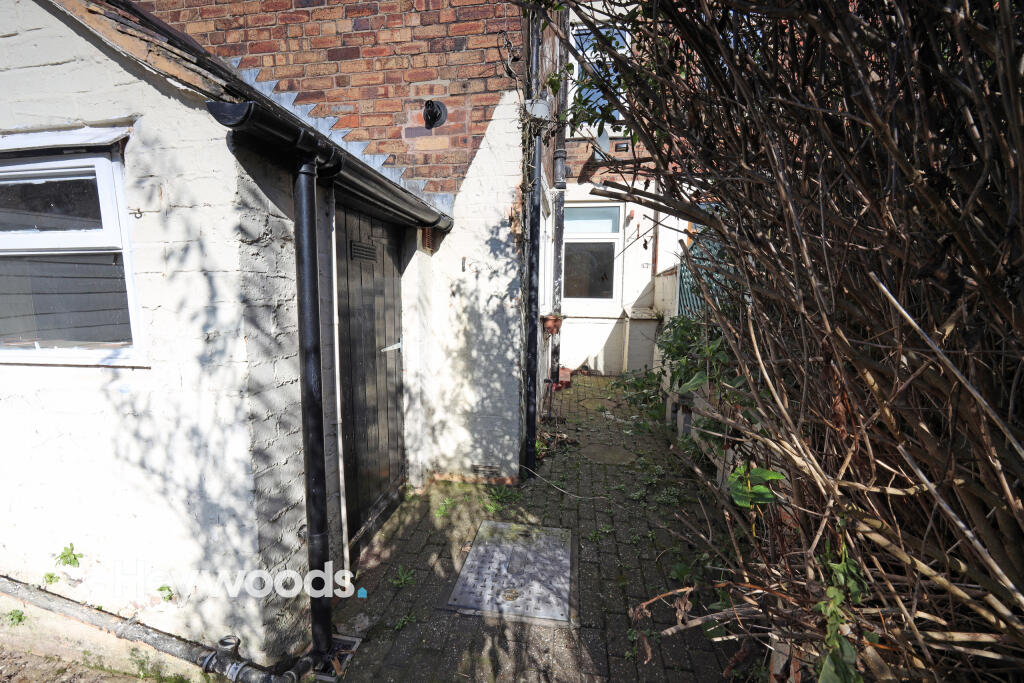
The ground floor features two spacious reception rooms, providing flexible living space ideal for both relaxing and dining. The modern fitted kitchen is situated to the rear of the property with access to the rear yard/garden area.
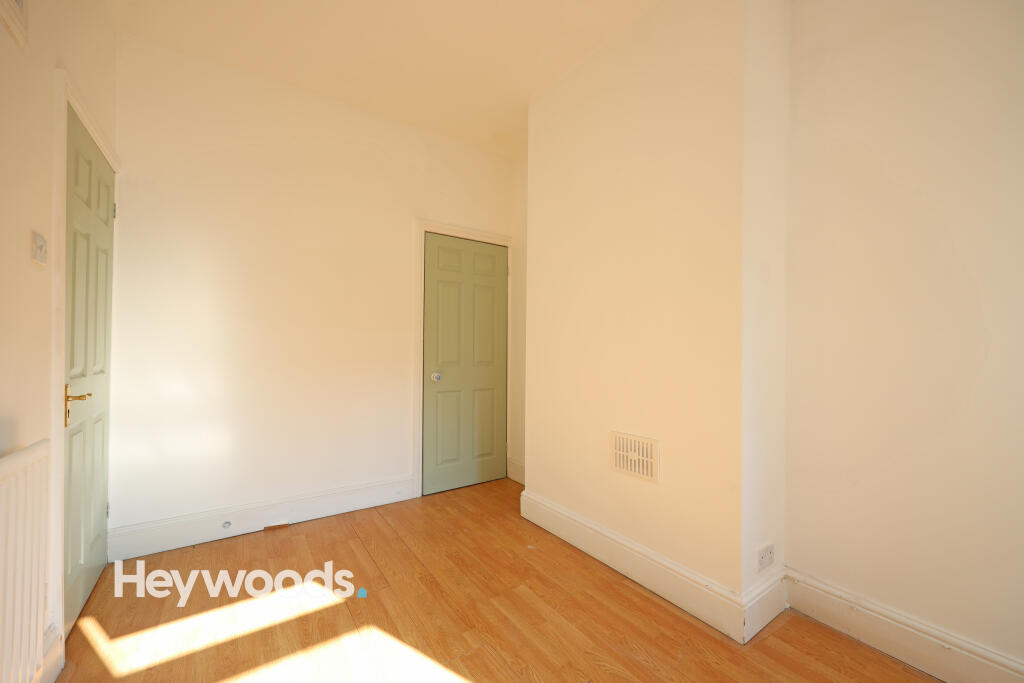
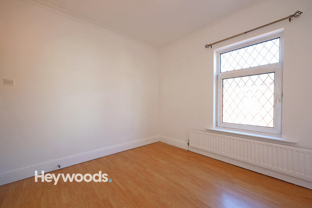
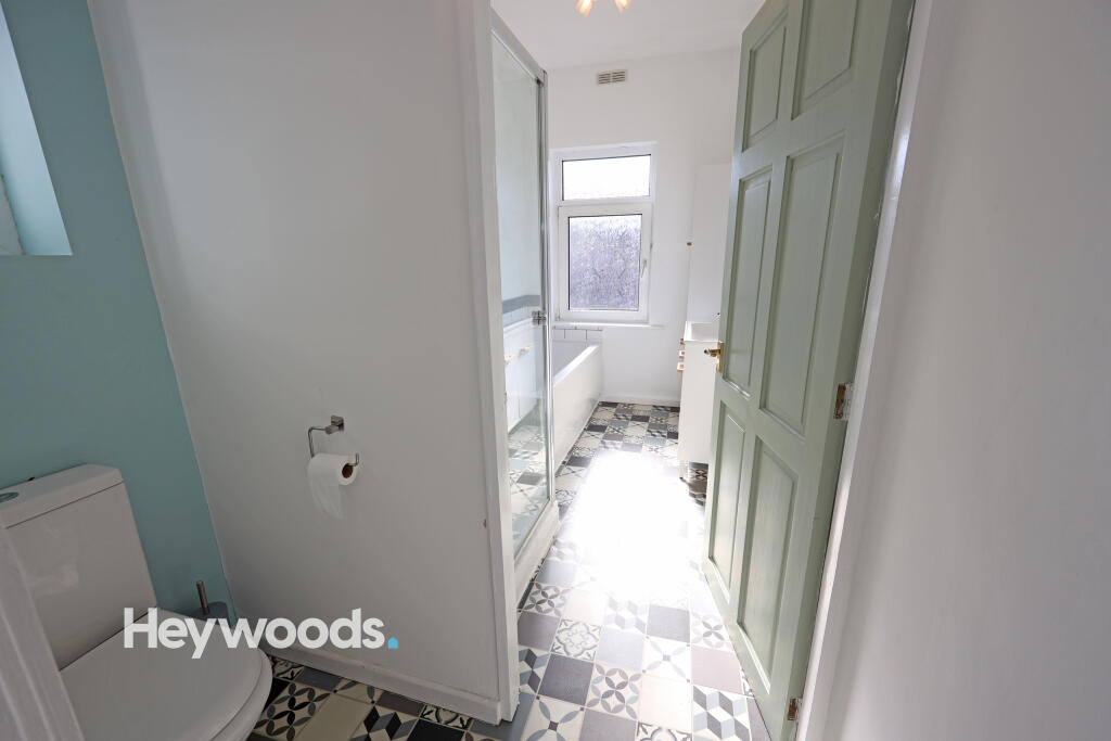
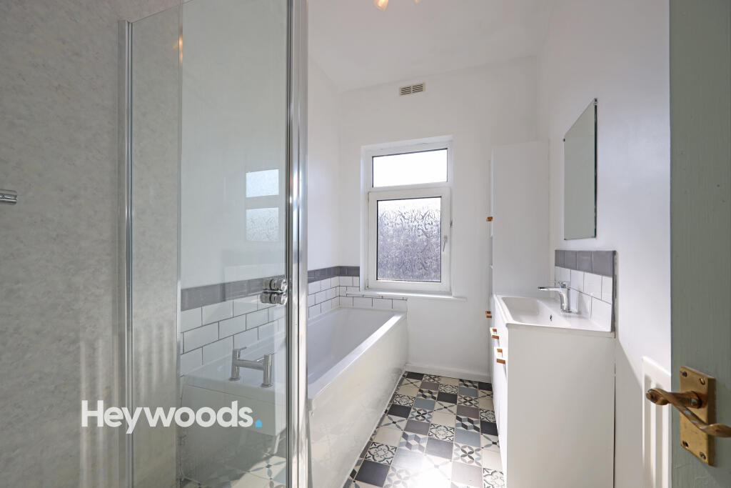
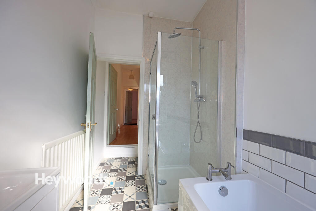
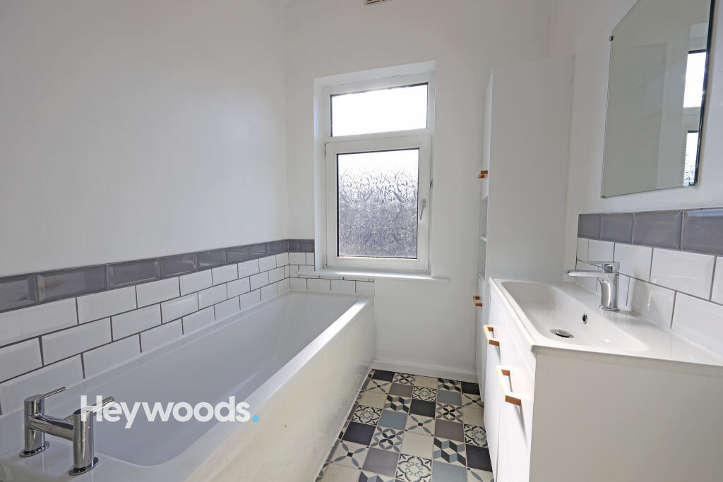
Upstairs, the property offers two comfortable bedrooms along with a family bathroom located on the first floor, making it practical for everyday living.
Additional benefits include double glazing, gas central heating, and a low-maintenance rear outdoor space.
This property would be ideal for couples, small families, or professional tenants looking for a comfortable home in a convenient location.
Listed by
Newcastle-under-Lyme
Heywoods
Reference: 172955696
EPC Rating & Upgrade Cost
Fetching EPC data… Refresh this page in a moment.
Flood risk
Zone: 1
Risk: Low
Job (default Low)
Rental Range
Estimated market rent for Newcastle-under-Lyme. Low = conservative, Realistic = average, Optimistic = best case.
Based on Local Authority from postcode lookup → Newcastle-under-Lyme.
LHA (30th percentile) floor for Staffordshire North: £479/mo (Apr 2025 – Mar 2026)
Location
Nearby
Nearest stations, universities and amenities (distance from property).
| Type | Name | Distance |
|---|---|---|
| Bus stop | Cherry Tree PH | 0.0 miles |
| Shop | Topps Tiles | 0.1 miles |
| Shop | Homebase | 0.1 miles |
| Hospital | Royal Stoke University Hospital | 0.5 miles |
| Hospital | Hartshill Medical Centre | 0.6 miles |
| Train station | Stoke-on-Trent | 1.8 miles |
| University | University of Staffordshire Stoke Campus | 1.8 miles |
| University | Keele University | 2.0 miles |
| Train station | Longport | 2.4 miles |
Street-level crime
| Category | Count |
|---|---|
| Violence and sexual offences | 97 |
| Anti-social behaviour | 63 |
| Public order | 35 |
| Criminal damage and arson | 26 |
| Shoplifting | 23 |
| Other theft | 19 |
| Burglary | 18 |
| Drugs | 16 |
| Vehicle crime | 10 |
| Other crime | 8 |
| Robbery | 6 |
| Possession of weapons | 5 |
| Theft from the person | 3 |
| Bicycle theft | 1 |
| Total incidents | 330 |
Within 1 mile during Apr 2026. Source: data.police.uk (England & Wales).
Schools nearby
Nearest open schools with Ofsted ratings (England). Closed schools are not shown. Data from Get Information about Schools and Ofsted.
| Name | Type | Distance | Ofsted |
|---|---|---|---|
| Hassell Primary School | Primary | 0.2 miles | Good — 25 Oct 2023 |
| Newcastle-under-Lyme School | Other | 0.3 miles | — (No rating) |
| Coppice Academy | Other | 0.3 miles | Good — 6 Mar 2014 |
| Blackfriars Academy | Other | 0.4 miles | Outstanding — 6 Feb 2013 |
| Co-op Academy Friarswood | Primary | 0.4 miles | Good — 8 Mar 2013 |
Rental Comparables
Residential lets from OpenRent and Rightmove for the area (same bedroom count). Use to validate rent estimates. Student lets are excluded.
Average rent: £842/mo (54 listings)