APARTMENT 207
APEX LOFTS, 50, WARWICK STREET, BIRMINGHAM, WEST MIDLANDS B12 0BA
£900 pcm
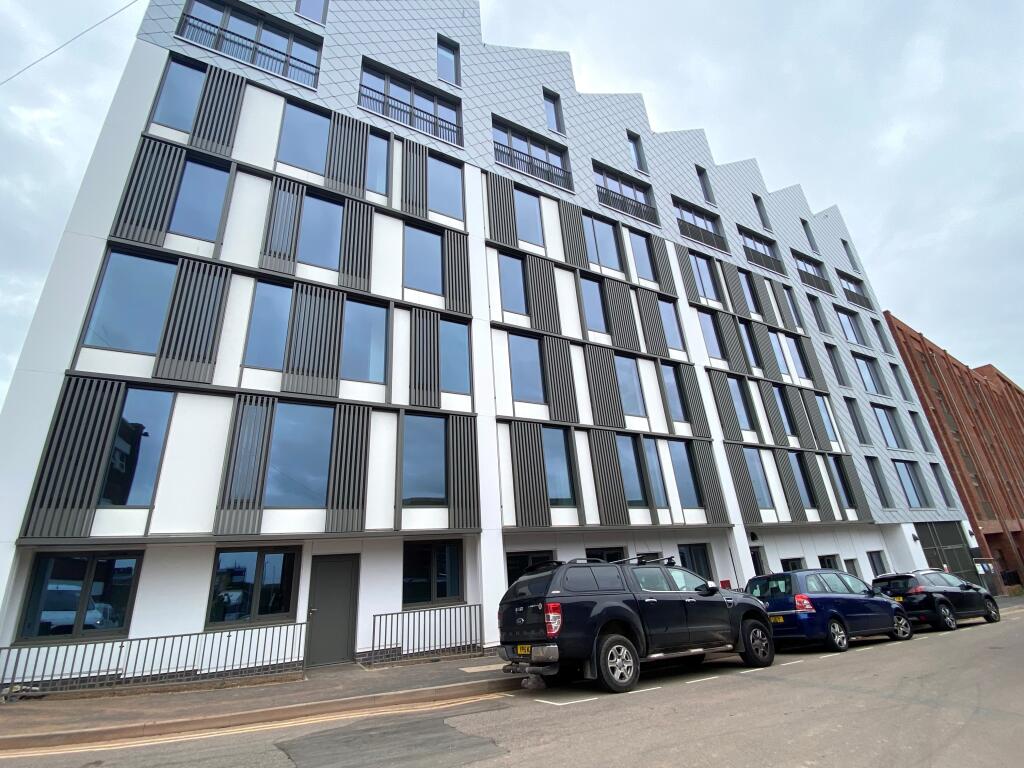
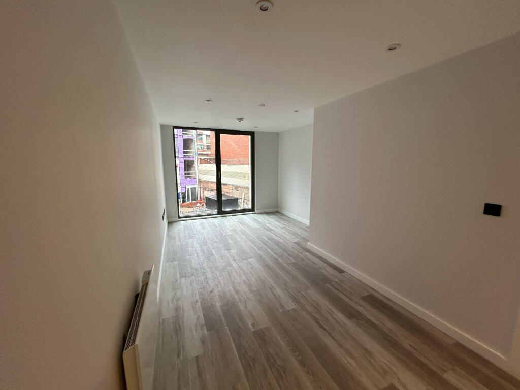
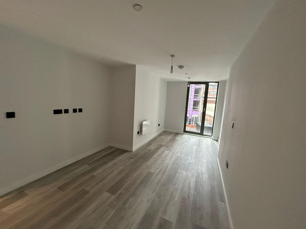
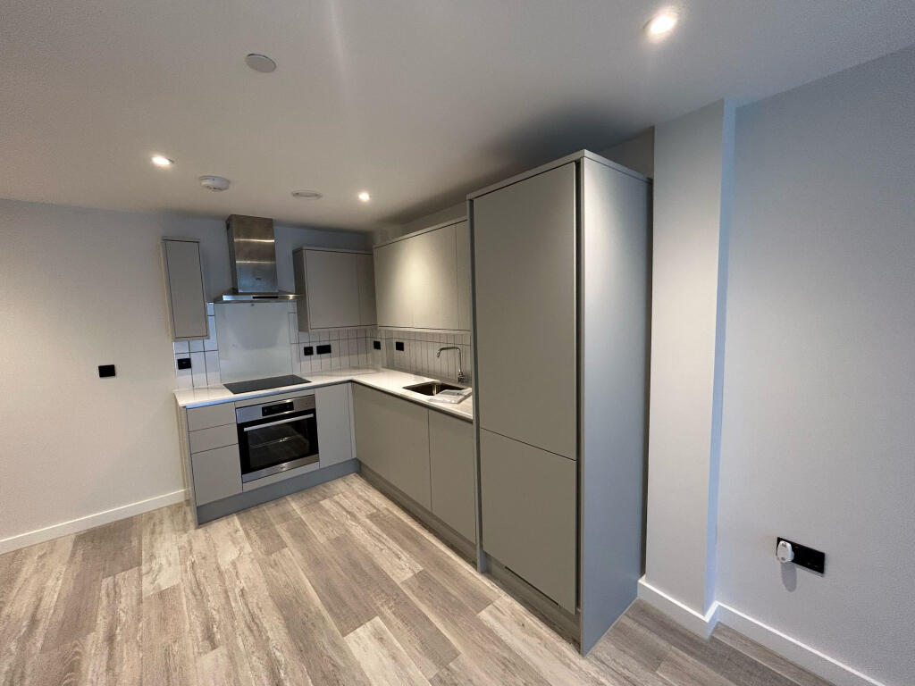
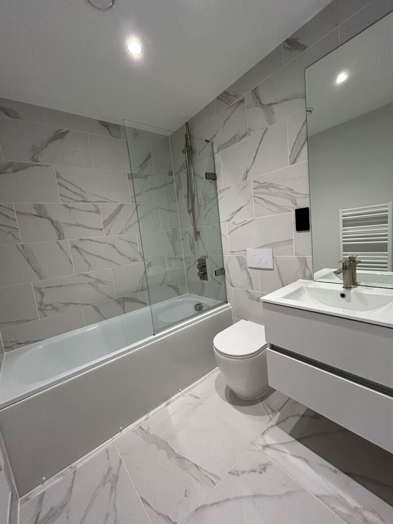
Photo 1 Photo 2 Photo 3 Photo 4 Photo 5
/ 5
Property details
Floor area
54 m²
EPC rating
C
Deprivation
Decile 1 (336 of 33,755)
Street crime
1424 incidents within 1 mile (Apr 2026)
Key features
- Available NOW
- One bedroom
- Unfurnished
- Second floor
- Modern development
- Located in Digbeth
Description
Please enquire today to register your interest as it will be sure to let quickly.
Council tax band TBC
Holding fee £207 Council Tax Band: Holding Deposit: £207.00
Listed by
Birmingham
Countrywide UK Lettings - Connells
Reference: 158640974
EPC Rating & Upgrade Cost
Current rating: C
Potential rating: C
Inspection date: 09/08/2023
Current heating cost: £440/year
Potential heating cost: £440/year
Flood risk
Zone: 2
Risk: In flood risk area
Environment Agency Flood Risk Areas (APSFR)
Rental Range
Estimated market rent for Birmingham. Low = conservative, Realistic = average, Optimistic = best case.
Based on Local Authority from postcode lookup → Birmingham.
LHA (30th percentile) floor for Birmingham: £693/mo (Apr 2025 – Mar 2026)
Location
Address
Warwick Street
Nearby
Nearest stations, universities and amenities (distance from property).
| Type | Name | Distance |
|---|---|---|
| Bus stop | Bradford St / Moseley Rd | 0.1 miles |
| Bus stop | Bradford St / Alcester St | 0.1 miles |
| Shop | Gala Thai Therapy & Spa | 0.1 miles |
| Shop | Goldstar Motors | 0.1 miles |
| Train station | Bordesley | 0.2 miles |
| University | BIMM University Birmingham | 0.3 miles |
| Train station | Birmingham Moor Street | 0.6 miles |
| University | University of Birmingham School of Dentistry | 2.1 miles |
| Hospital | Brian Oliver Centre | 5.8 miles |
| Hospital | Bilston Street Surgery | 11.2 miles |
Street-level crime
| Category | Count |
|---|---|
| Violence and sexual offences | 502 |
| Shoplifting | 215 |
| Other theft | 115 |
| Public order | 114 |
| Criminal damage and arson | 98 |
| Drugs | 97 |
| Vehicle crime | 75 |
| Burglary | 43 |
| Possession of weapons | 42 |
| Robbery | 42 |
| Anti-social behaviour | 41 |
| Theft from the person | 25 |
| Other crime | 14 |
| Bicycle theft | 1 |
| Total incidents | 1424 |
Within 1 mile during Apr 2026. Source: data.police.uk (England & Wales).
Schools nearby
Nearest open schools with Ofsted ratings (England). Closed schools are not shown. Data from Get Information about Schools and Ofsted.
| Name | Type | Distance | Ofsted |
|---|---|---|---|
| St Anne's Catholic Primary School | Primary | 0.2 miles | Good — 9 Jun 2015 |
| Harper Bell Seventh-day Adventist School | Primary | 0.2 miles | Good — 17 Sep 2019 |
| South and City College Birmingham | Other | 0.3 miles | — (No rating) |
| Camp Hill Education | Other | 0.4 miles | Requires improvement — 27 Jul 2023 |
| Calthorpe Academy | Other | 0.4 miles | Good — 15 Dec 2017 |
Rental Comparables
Residential lets from OpenRent and Rightmove for the area (same bedroom count). Use to validate rent estimates. Student lets are excluded.
| Title | Rent | Beds | Distance | As seen on |
|---|---|---|---|---|
| 1 Bed Flat, Griffiths Close, B12 | £950/mo | 1 | 0.73 miles | OpenRent |
| 1 Bed Maisonette, Hampden Retreat, B12 | £800/mo | 1 | 0.95 miles | OpenRent |
| 1 Bed Flat, Trafalgar Road, B13 | £1,400/mo | 1 | 1.32 miles | OpenRent |
Average rent: £1,050/mo (3 listings)