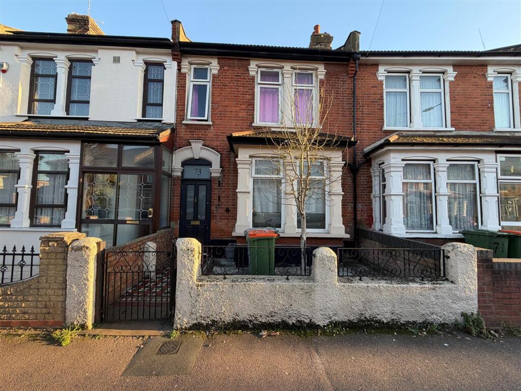
73 SHAKESPEARE CRESCENT
LONDON, GREATER LONDON E12 6LL
£3,000 pcm
Property details
Floor area
122 m²
Council tax band
D
EPC rating
D
Year built
England and Wales: 1900-1929
Deprivation
Decile 3 (9,479 of 33,755)
Street crime
1202 incidents within 1 mile (Apr 2026)
Key features
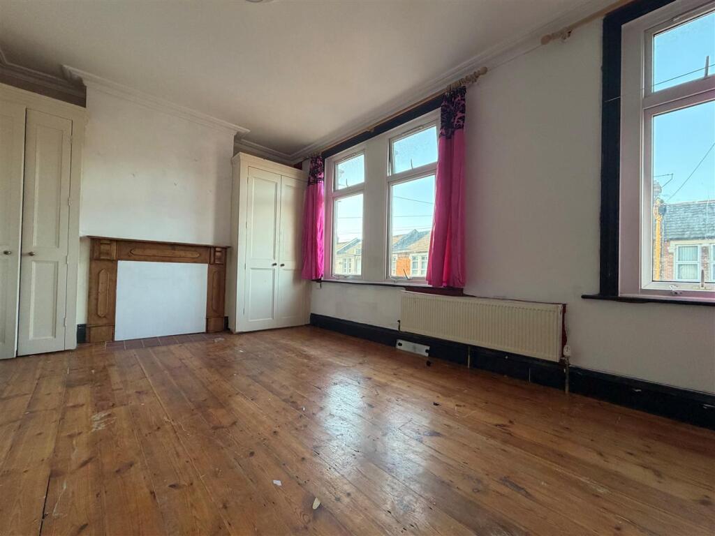
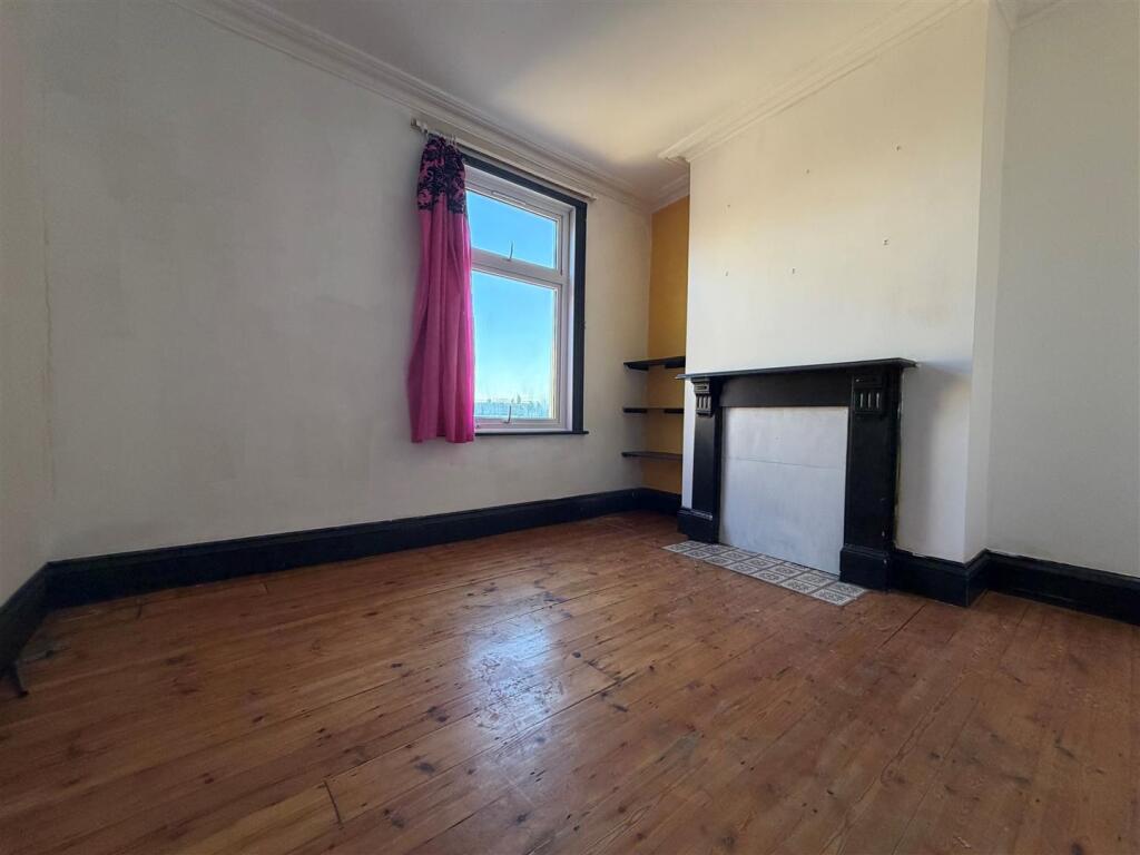
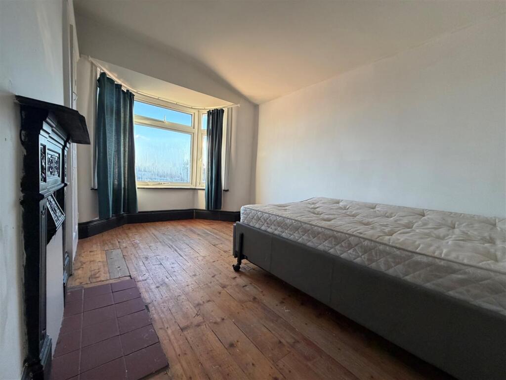
- Three/ Four Bedroom
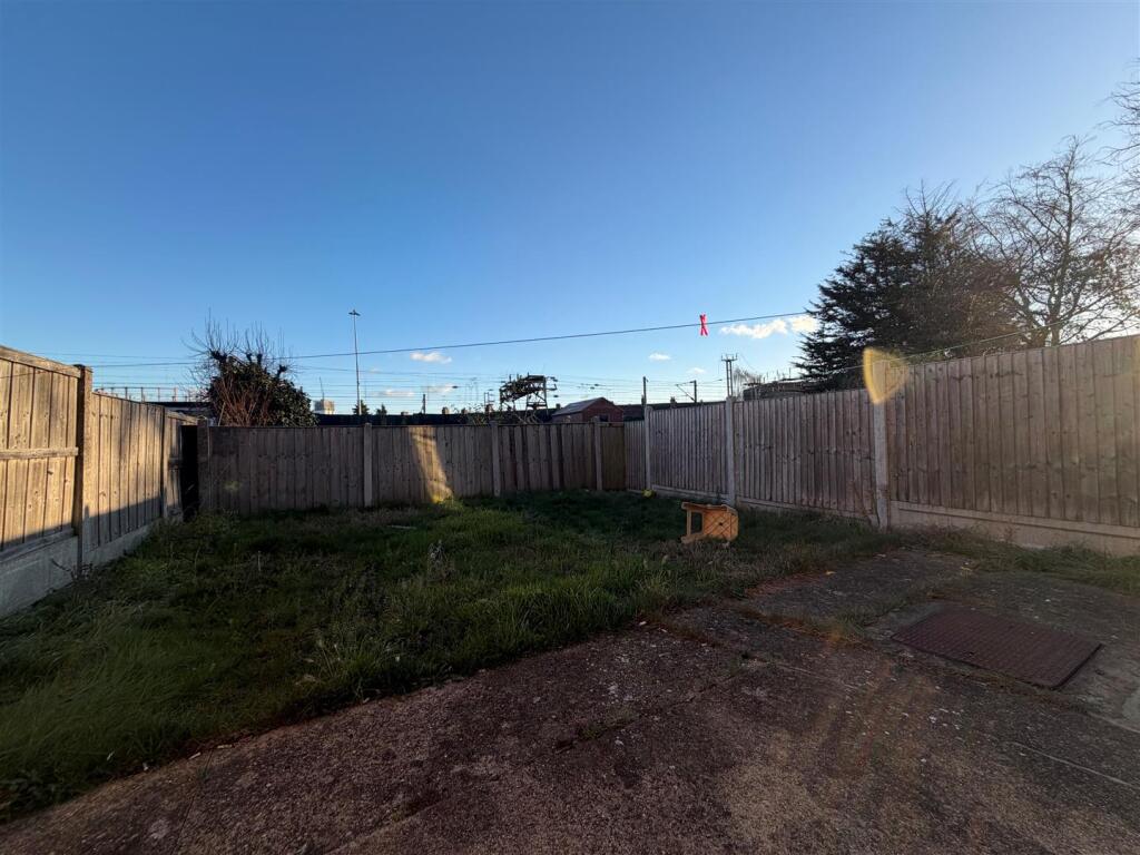
- Private Garden
- Available Immediately
Additional details
- Garden
- Yes
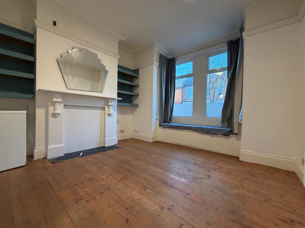
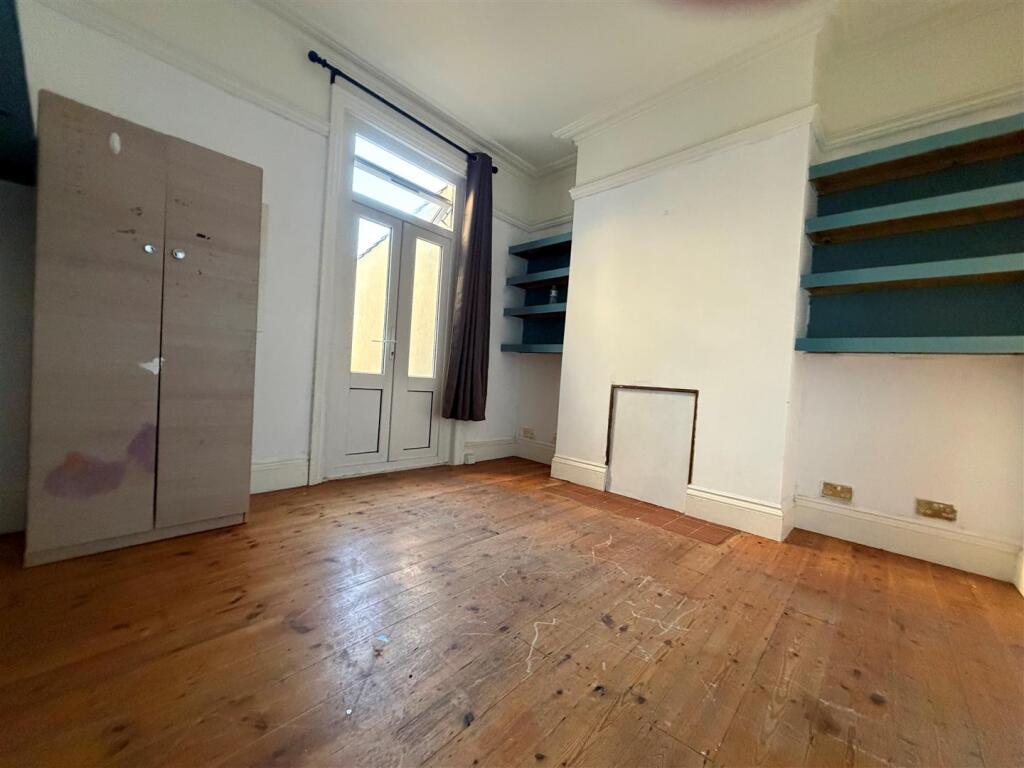
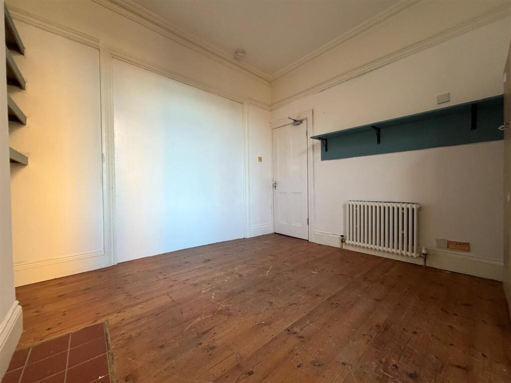
Description
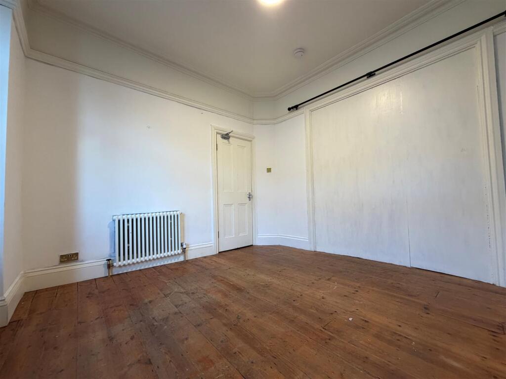
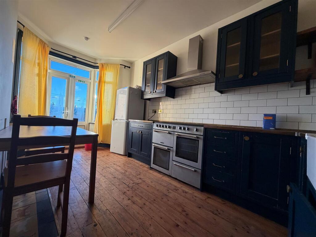
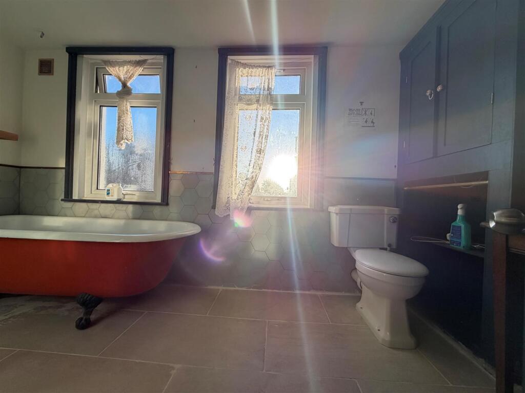
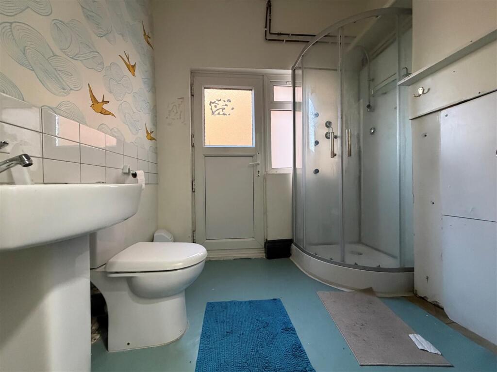
The property comprises of 3 bedrooms, 2 reception rooms (can be used as bedrooms), first floor bathroom, kitchen with access to rear garden.
Listed by
Redbridge
Sandra Davidson Estate Agents
Reference: 171131084
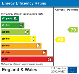
EPC Rating & Upgrade Cost
Current rating: D
Potential rating: C
Inspection date: 04/10/2018
Current heating cost: £886/year
Potential heating cost: £622/year
Est. upgrade cost to C: £21,925
Recommendations
- 50 mm internal or external wall insulation (£4,000 - £14,000)
- Floor insulation (suspended floor) (£800 - £1,200)
- Low energy lighting for all fixed outlets (£25)
- Upgrade heating controls (£350 - £450)
- Solar water heating (£4,000 - £6,000)
- Solar photovoltaic panels, 2.5 kWp (£5,000 - £8,000)
Flood risk
Zone: 1
Risk: Low
Job (default Low)
EPC Graphs
EE Rating
Rental Range
Estimated market rent for Newham. Low = conservative, Realistic = average, Optimistic = best case.
Based on Local Authority from postcode lookup → Newham.
LHA (30th percentile) floor for Kings Lynn: £773/mo (Apr 2025 – Mar 2026)
Location
Nearby
Nearest stations, universities and amenities (distance from property).
| Type | Name | Distance |
|---|---|---|
| Bus stop | Browning Road | 0.2 miles |
| Shop | Dilka Express | 0.2 miles |
| Shop | Selva Saloon | 0.2 miles |
| Train station | East Ham | 0.3 miles |
| Train station | Woodgrange Park | 0.8 miles |
| Hospital | Neonatal Unit, L1 Z2 | 1.7 miles |
| Hospital | Rainbow Ward | 1.7 miles |
| University | Arden University Stratford Campus | 3.0 miles |
| University | University of Greenwich | 5.0 miles |
Street-level crime
| Category | Count |
|---|---|
| Violence and sexual offences | 331 |
| Anti-social behaviour | 217 |
| Theft from the person | 93 |
| Other theft | 91 |
| Vehicle crime | 80 |
| Shoplifting | 77 |
| Public order | 62 |
| Criminal damage and arson | 60 |
| Robbery | 53 |
| Drugs | 50 |
| Burglary | 48 |
| Bicycle theft | 18 |
| Other crime | 16 |
| Possession of weapons | 6 |
| Total incidents | 1202 |
Within 1 mile during Apr 2026. Source: data.police.uk (England & Wales).
Schools nearby
Nearest open schools with Ofsted ratings (England). Closed schools are not shown. Data from Get Information about Schools and Ofsted.
| Name | Type | Distance | Ofsted |
|---|---|---|---|
| Kensington Primary School | Primary | 0.1 miles | Outstanding — 15 Sep 2016 |
| Essex Primary School | Primary | 0.3 miles | Outstanding — 8 May 2019 |
| Little Ilford School | Secondary | 0.3 miles | Good — 18 Jan 2023 |
| Altmore Infant School | Primary | 0.4 miles | Good — 8 Oct 2023 |
| Lathom Junior School | Primary | 0.4 miles | Good — 25 Apr 2017 |
Rental Comparables
Residential lets from OpenRent and Rightmove for the area (same bedroom count). Use to validate rent estimates. Student lets are excluded.
| Title | Rent | Beds | Distance | As seen on |
|---|---|---|---|---|
| 3 Bed Terraced House, Byron Avenue, E12 | £3,200/mo | 3 | 0.14 miles | OpenRent |
Average rent: £3,200/mo (1 listing)