4 LANSDOWNE TERRACE WEST
NORTH SHIELDS, TYNE AND WEAR NE29 0RG
Property details
Tenure
FREEHOLD
Floor area
106 m²
Council tax band
C
EPC rating
C
Year built
England and Wales: 1930-1949
Last sold
£160,000 Jan 2025
Price per m²
£3,443/m²
Local average
£978,600 (-62.7%)
Deprivation
Decile 6 (17,853 of 33,755)
Street crime
512 incidents within 1 mile (Aug 2026)
Additional details
- Electricity
- Mains supply
- Water
- Mains supply
- Sewerage
- Mains supply
- Heating
- Gas central
- Parking
- Yes
- Garden
- Yes
Description
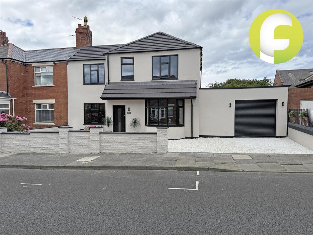
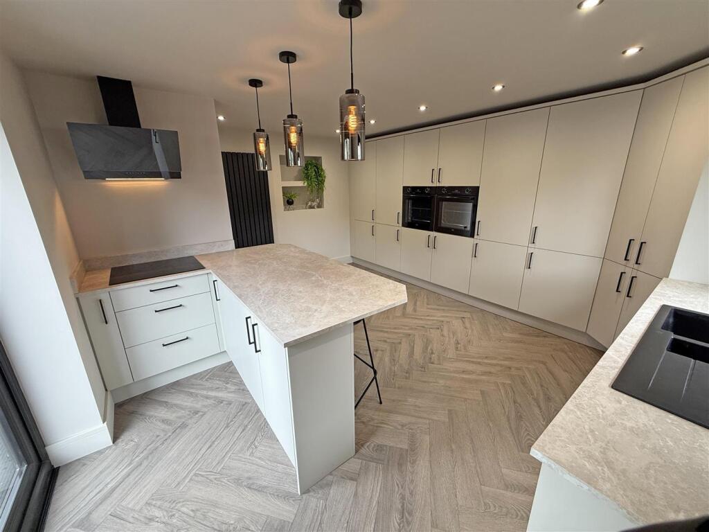
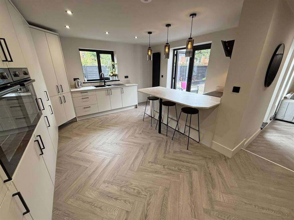
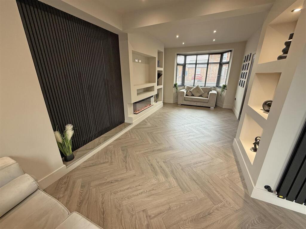
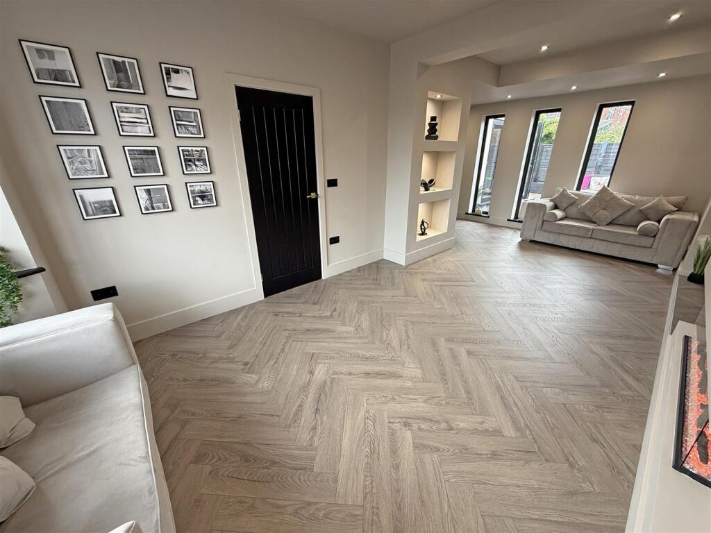
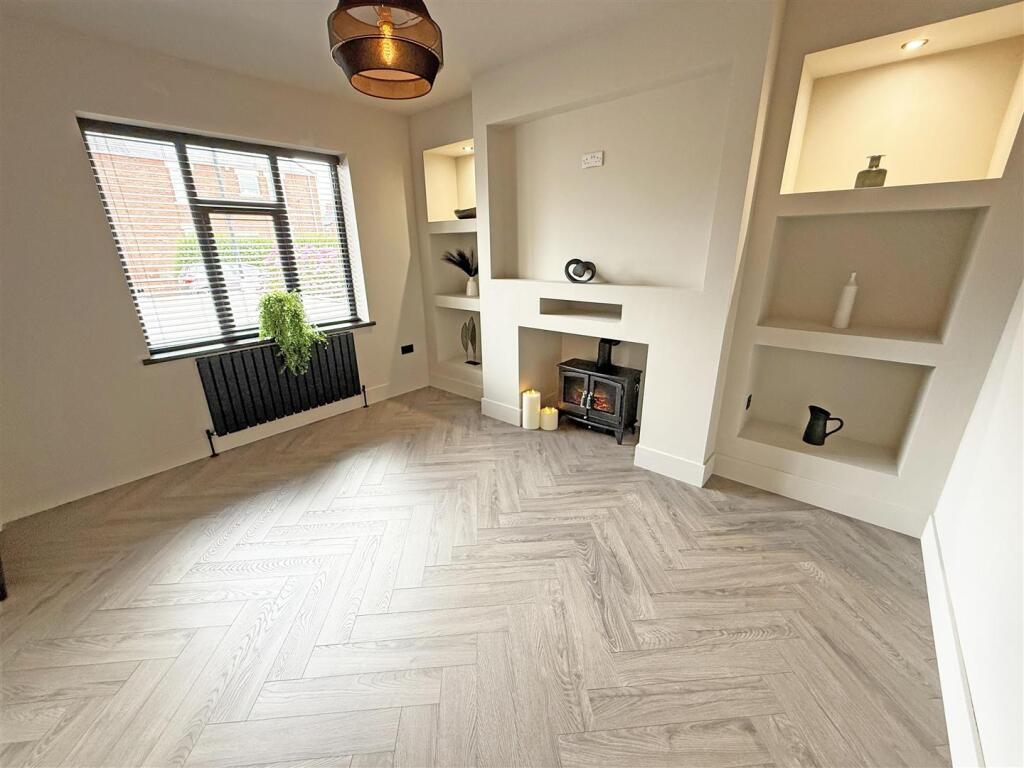
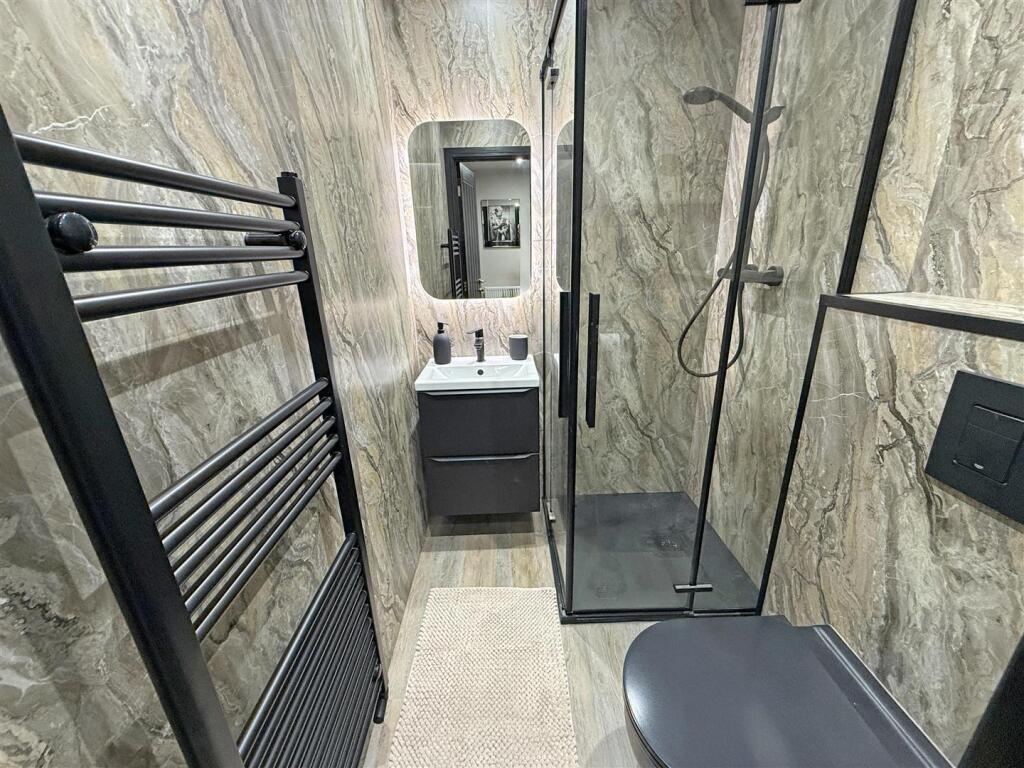
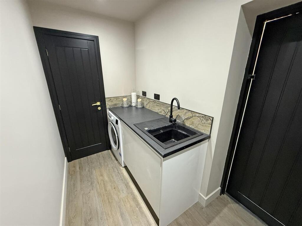
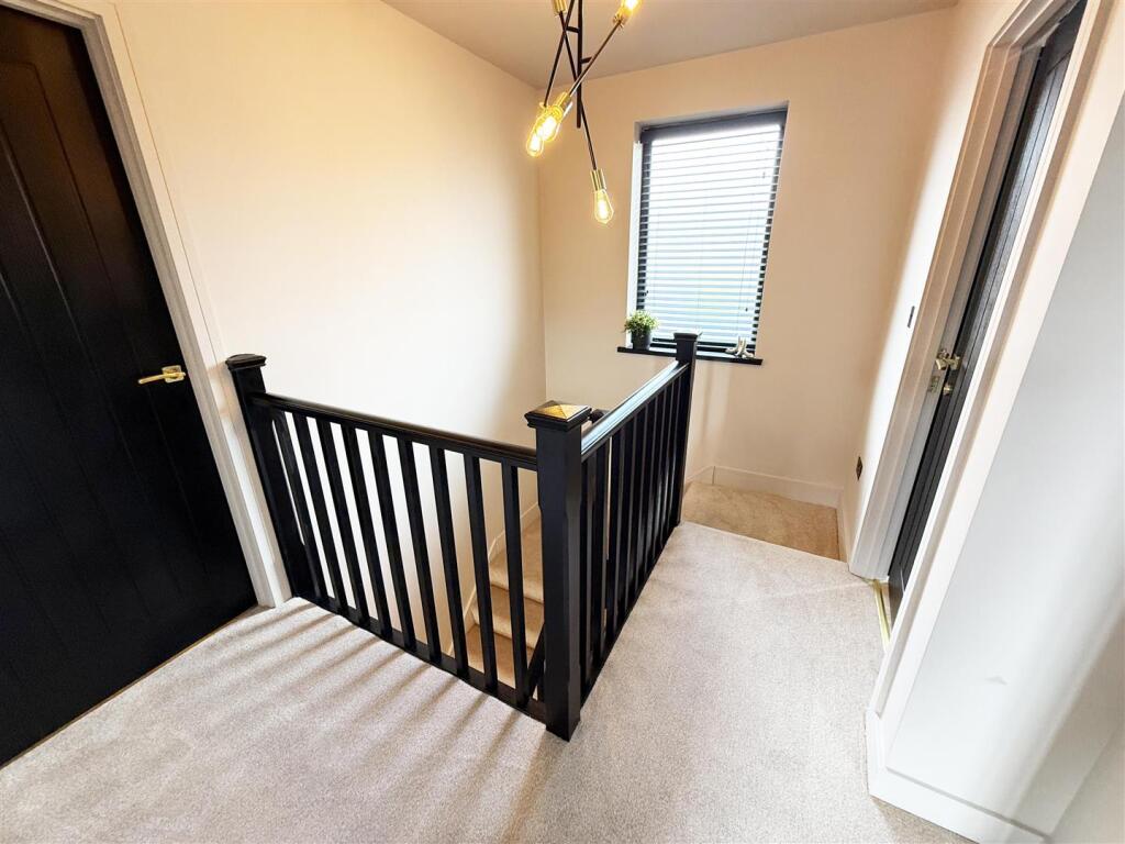
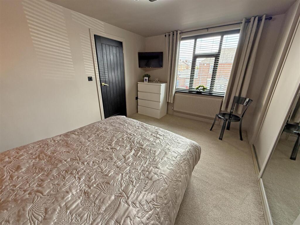
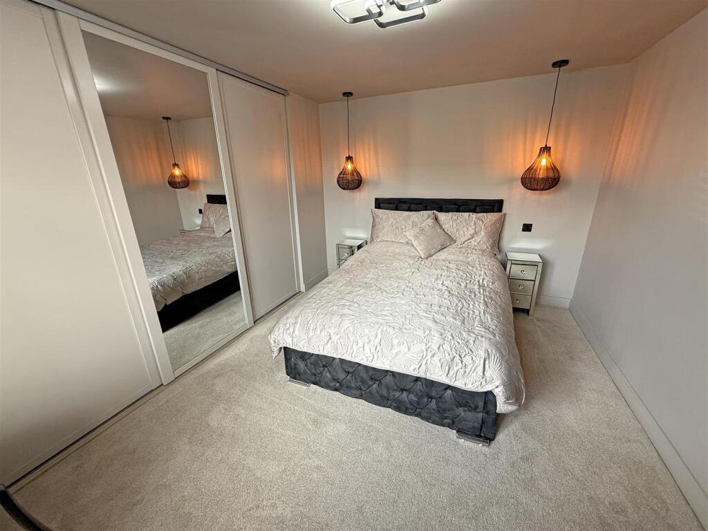
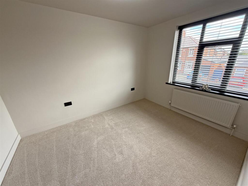
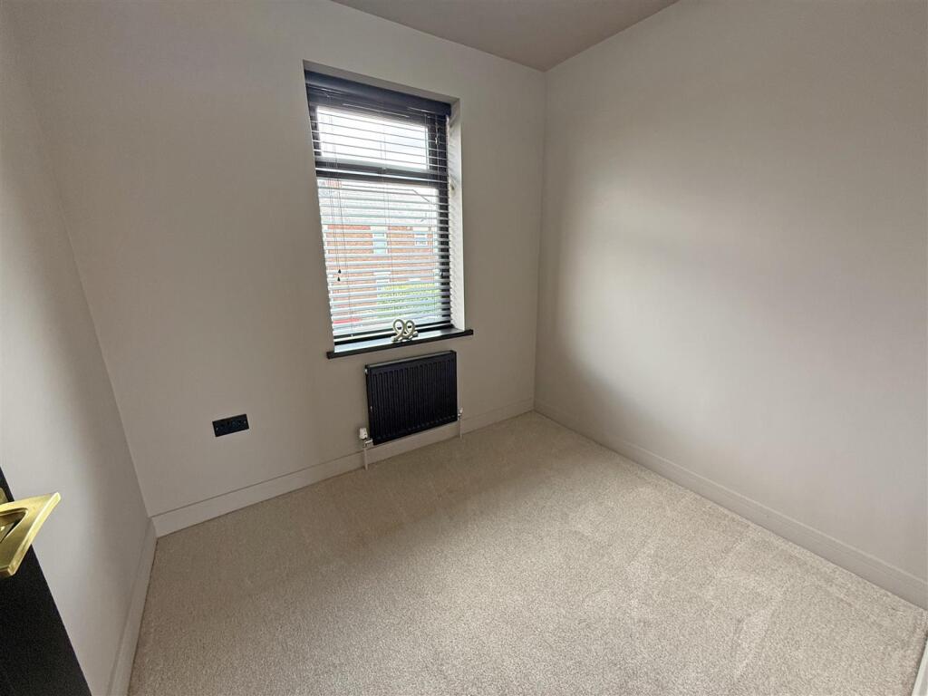
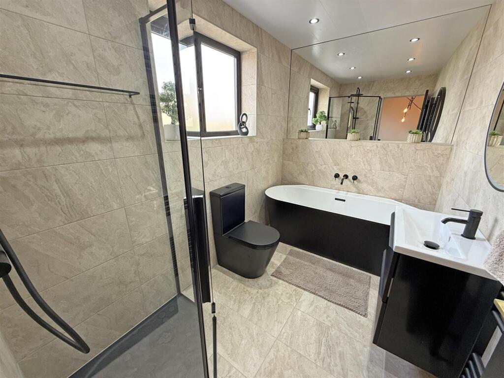
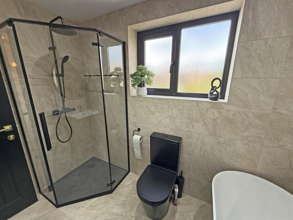
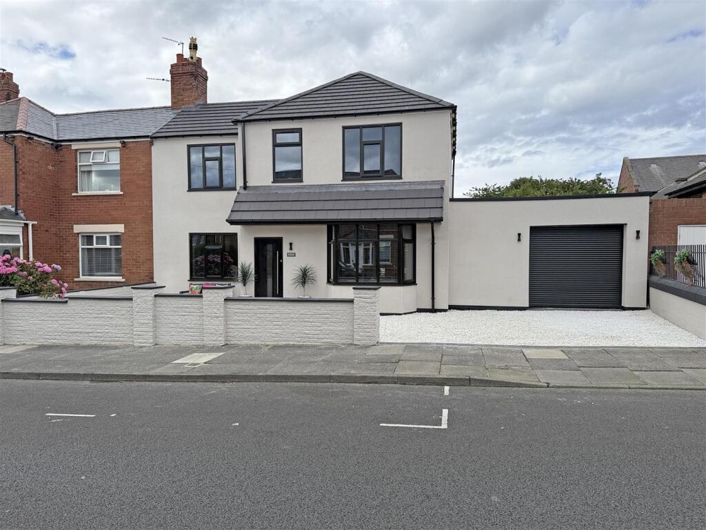
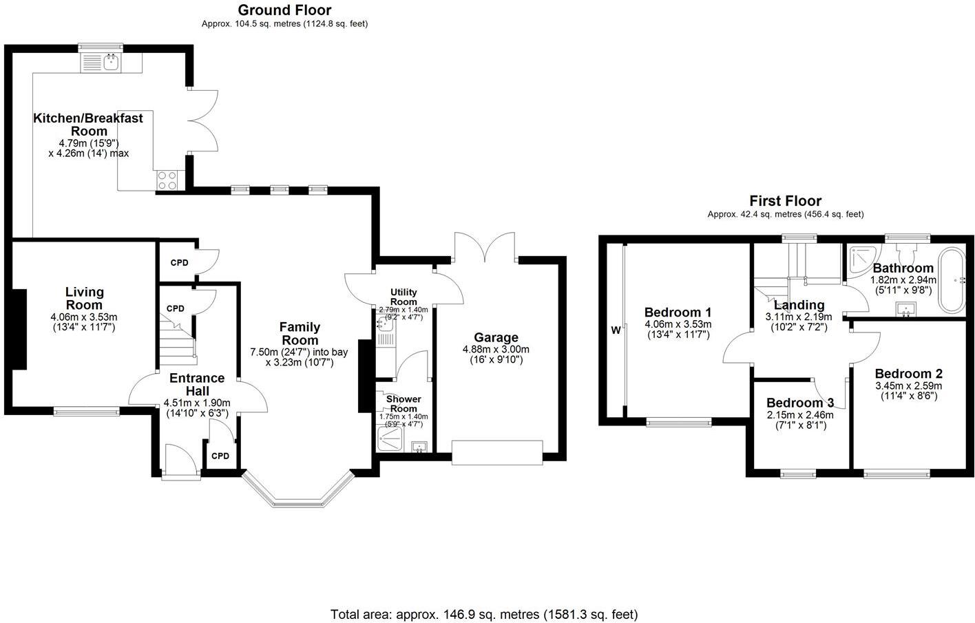
Upon entering, you are greeted by two spacious reception rooms, providing ample room for relaxation and entertaining guests. The impressive extended breakfasting kitchen is a standout feature, designed to be both functional and inviting, making it the heart of the home. Additionally, the utility room and convenient downstairs shower room enhance the practicality of the home.
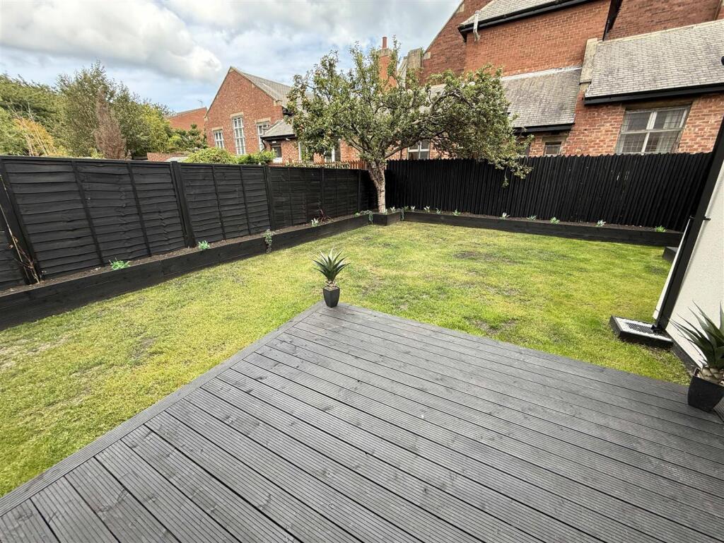
The property boasts a pleasant rear garden, perfect for enjoying the outdoors, while the parking and garage facilities add to the convenience of modern living. This home is not only beautifully presented but also situated in a popular location, making it a fantastic opportunity for prospective buyers.
Viewing is essential to fully appreciate all that this charming property has to offer. Don’t miss your chance to make this house your home.
Listed by
North Shields
Fresh Property Centre
Reference: 87791343
EPC Rating & Upgrade Cost
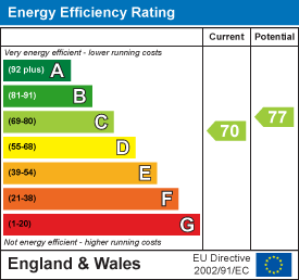
Current rating: C
Potential rating: C
Inspection date: 11/07/2025
Expiry date: 10/07/2035
Current heating cost: £1,132/year
Potential heating cost: £980/year
Est. upgrade cost to C: £17,550
Recommendations
- Flat roof or sloping ceiling insulation (£900 - £1,200)
- Floor insulation (suspended floor) (£5,000 - £10,000)
- Solar photovoltaic panels, 2.5 kWp (£8,000 - £10,000)
Flood risk
Zone: 1
Risk: Low
Job (default Low)
Registered land (INSPIRE)
This location falls inside an HM Land Registry INSPIRE registered freehold polygon.
Plot: ~286 m² (0.07 acres)
Source: HM Land Registry INSPIRE Index Polygons.
Floorplans
Lansdowne Terrace West 4 Floor Plan.jpg
EPC Graphs
EE Rating
Price history
| Event | Date | Price | % change |
|---|---|---|---|
| Listed for sale | — | £365,000 | +128.1% |
| Sold | 28/01/2025 (1 year ago) | £160,000 | — |
Source: HM Land Registry Price Paid Data. Crown copyright.
Sold Comparables
Same street and nearby sales within 0.25 miles (last 5 years). Data from Land Registry Price Paid.
| Address | Price | Date | Type |
|---|---|---|---|
| 45 SCORER STREET, NORTH SHIELDS, NORTH TYNESIDE, TYNE AND WEAR, NE29 0JH | £67,500 | 05/12/2022 | Other |
| 84 LANSDOWNE TERRACE, NORTH SHIELDS, NORTH TYNESIDE, TYNE AND WEAR, NE29 0NJ | £130,000 | 16/08/2022 | Other |
| Same street 11 LANSDOWNE TERRACE WEST, NORTH SHIELDS, NORTH TYNESIDE, TYNE AND WEAR, NE29 0RG | £240,000 | 29/06/2022 | Semi-detached |
Street average: £240,000 (1 sale)
Area average: £98,750 (2 sales)
Capital growth trend
Land Registry outcode average: last 12 months vs 5y and 10y ago (from sold prices).
House Price Index (HM Land Registry — official index, not sold-price averages): North Tyneside. Series: All dwelling types. As of July 2026.
Rental Range
Estimated market rent for North Tyneside. Low = conservative, Realistic = average, Optimistic = best case.
Based on Local Authority from postcode lookup → North Tyneside.
LHA (30th percentile) floor for Tyneside: £648/mo (Apr 2025 – Mar 2026)
Location
Nearby
Nearest stations, universities and amenities (distance from property).
| Type | Name | Distance |
|---|---|---|
| Bus stop | LANSDOWNE TERRACE-BRIGHTON GROVE-W/B | 0.0 miles |
| Bus stop | HAWKEYS LANE-LANSDOWNE TERRACE WEST-N/B | 0.0 miles |
| Hospital | Priory Day Hospital | 0.1 miles |
| Shop | Aldi | 0.1 miles |
| Shop | Billy Mill Stores | 0.2 miles |
| Train station | North Shields | 0.5 miles |
| Train station | Meadow Well | 0.8 miles |
| University | Dove Marine Laboratory | 1.9 miles |
| University | Northumbria University Coach Lane Campus | 4.5 miles |
| Hospital | Sunderland Primary care Trust | 5.9 miles |
Street-level crime
| Category | Count |
|---|---|
| Violence and sexual offences | 113 |
| Anti-social behaviour | 109 |
| Shoplifting | 104 |
| Criminal damage and arson | 44 |
| Vehicle crime | 33 |
| Public order | 32 |
| Other theft | 22 |
| Burglary | 18 |
| Drugs | 11 |
| Robbery | 10 |
| Other crime | 8 |
| Possession of weapons | 4 |
| Bicycle theft | 2 |
| Theft from the person | 2 |
| Total incidents | 512 |
Within 1 mile during Aug 2026. Source: data.police.uk (England & Wales).
Schools nearby
Nearest open schools with Ofsted ratings (England). Closed schools are not shown. Data from Get Information about Schools and Ofsted.
| Name | Type | Distance | Ofsted |
|---|---|---|---|
| Spring Gardens Primary School | Primary | 0.2 miles | Requires improvement — 15 Feb 2022 |
| St Cuthbert's Catholic Primary School, North Shields | Primary | 0.4 miles | Good — 26 Nov 2014 |
| Christ Church CofE Primary School | Primary | 0.5 miles | Good — 23 Jan 2023 |
| Collingwood Primary School | Primary | 0.5 miles | Good — 22 May 2013 |
| St Joseph's Catholic Primary School, North Shields | Primary | 0.6 miles | Good — 7 Jul 2024 |
Rental Comparables
Rental listings exist nearby, but none matched the 3-bedroom count for this property.
Rent-driven metrics
Based on Area rent estimate.
- Rent ratio — Monthly rent ÷ purchase price (1% rule). 1%+ = strong, 0.8–1% = okay, <0.8% = weak for cashflow.
- Max investor price — Rent ÷ 0.8%; the price at which rent would be 0.8% of price (Stoke-style target).
- Target investor price — Rent ÷ 1%; the price at which rent would be 1% of price (strong cashflow band).
- Gross yield — Annual rent as % of purchase price (no costs).