2 WESTABROOK
NEWTON ABBOT, ASHBURTON, DEVON TQ13 7QS
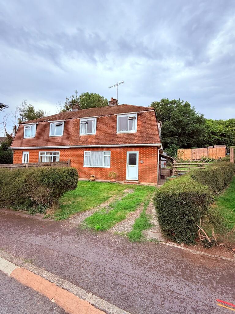
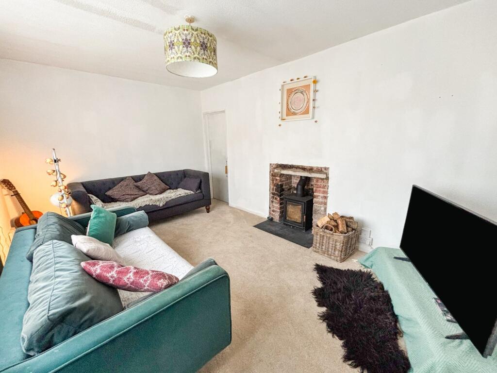
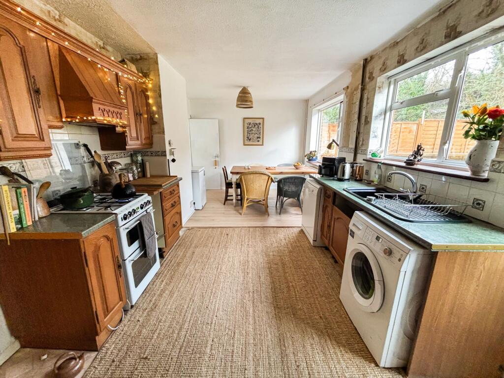
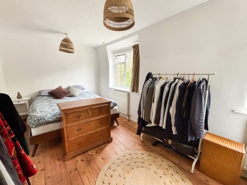
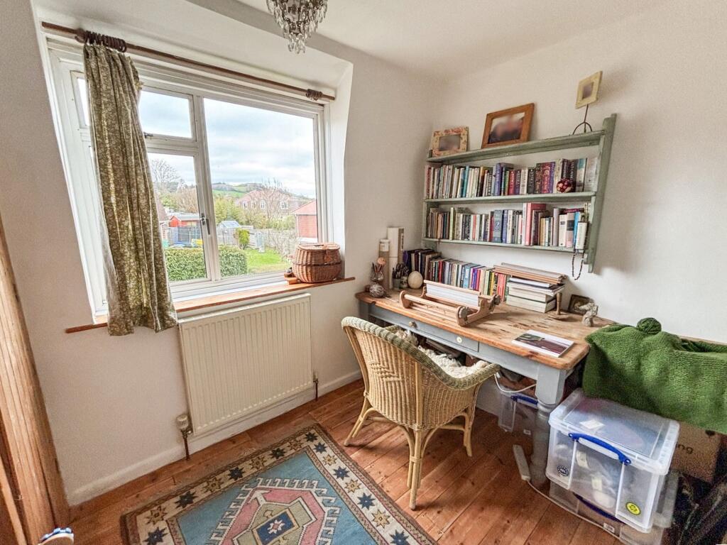
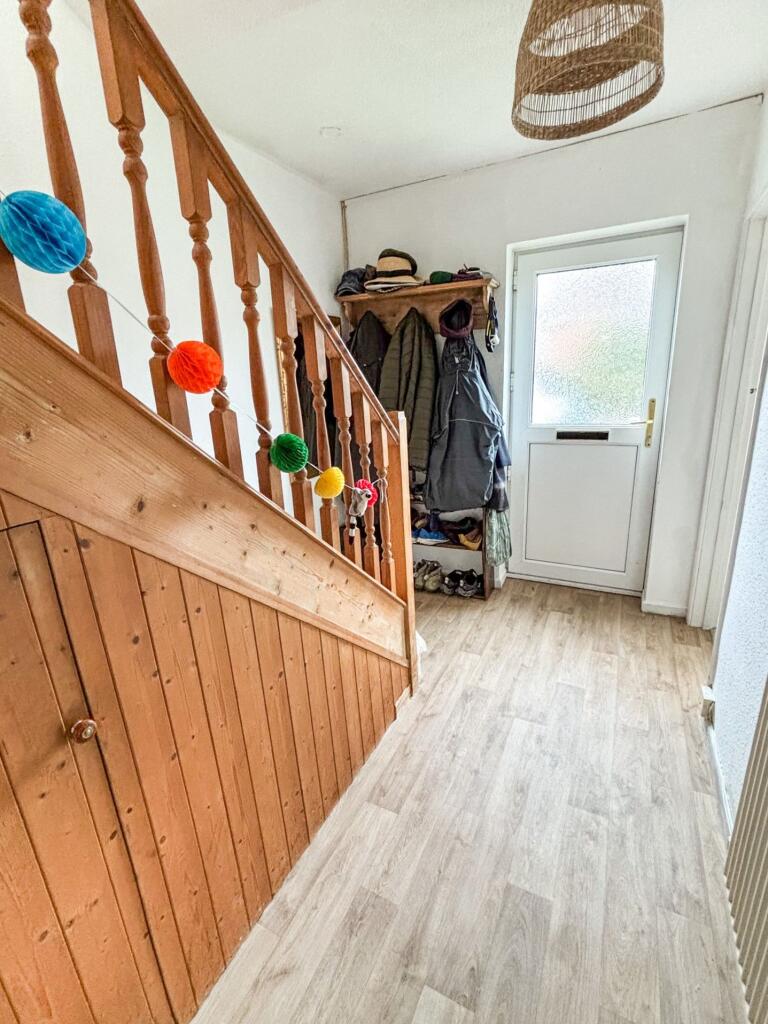
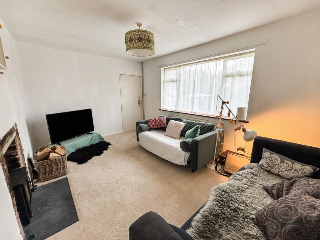
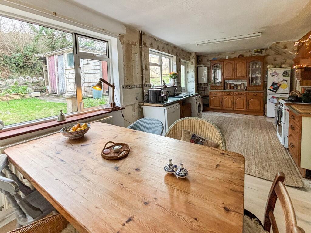
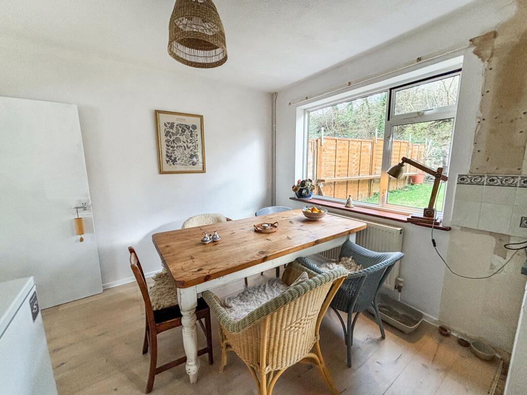
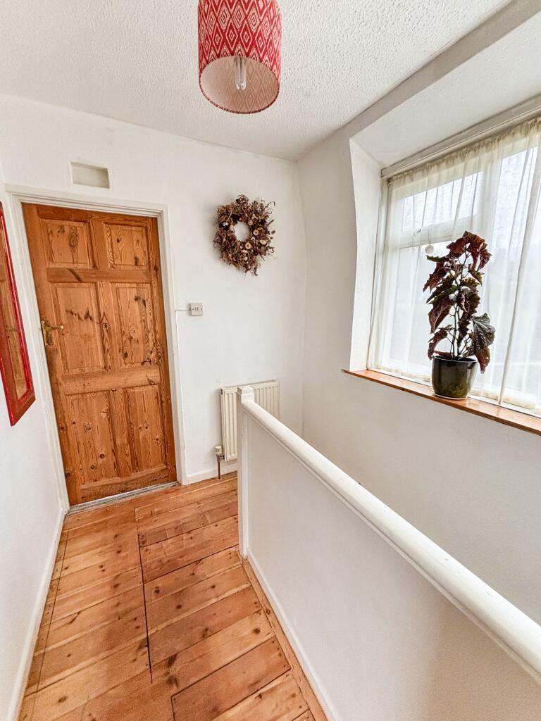
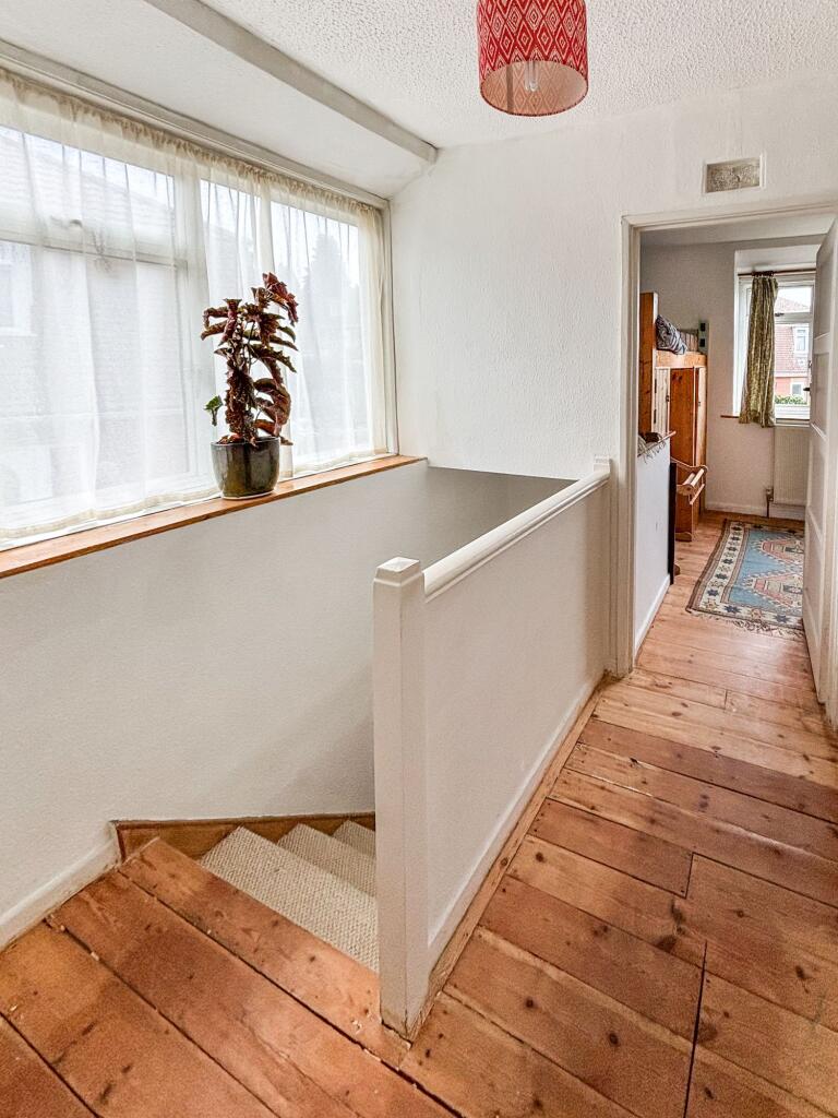
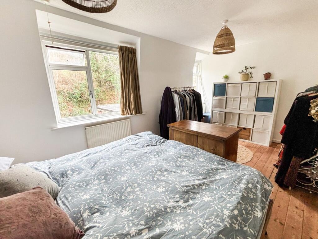
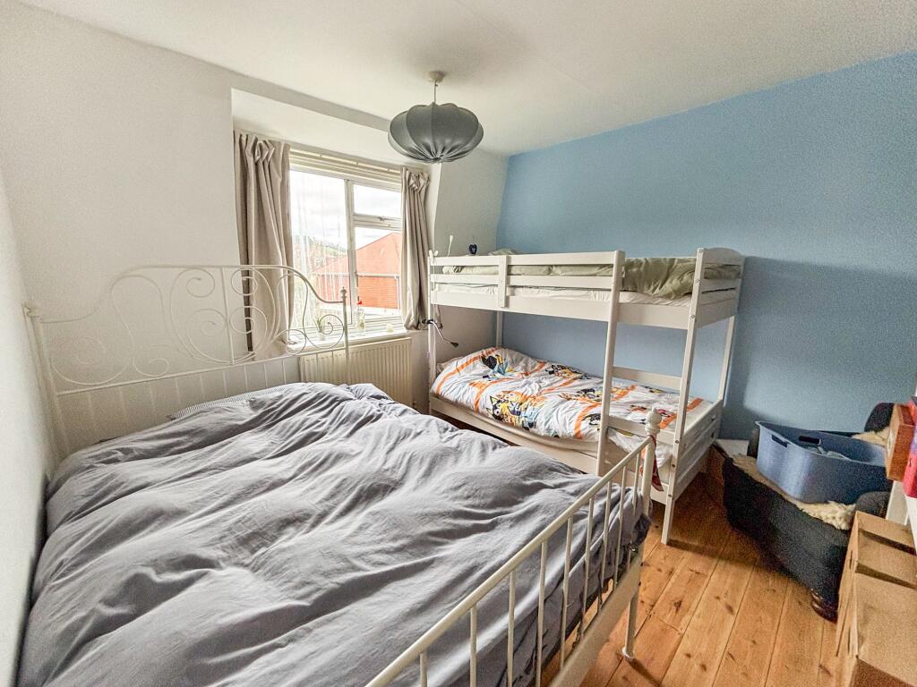
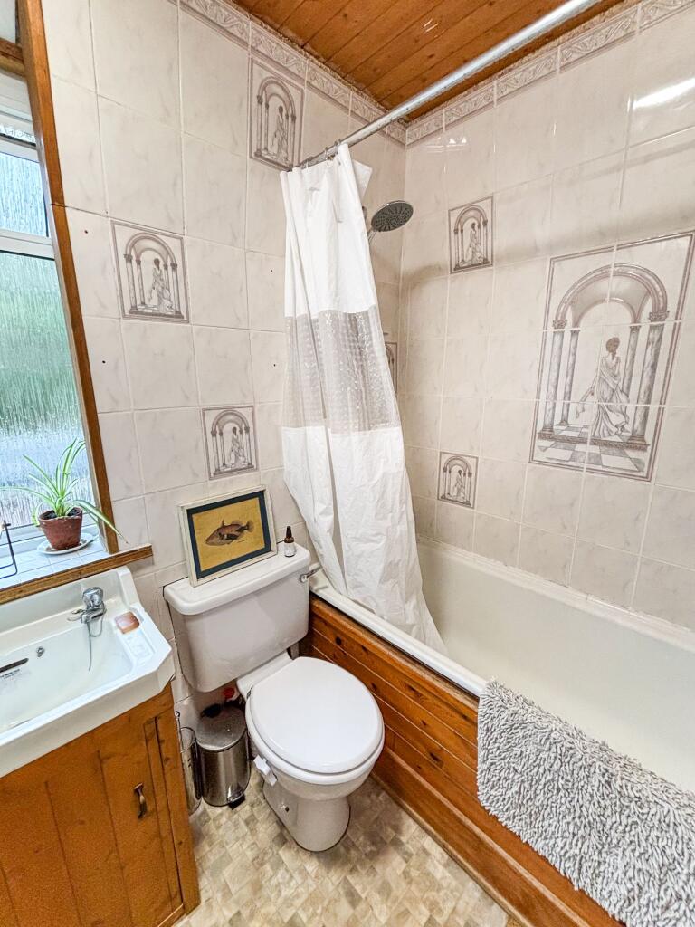
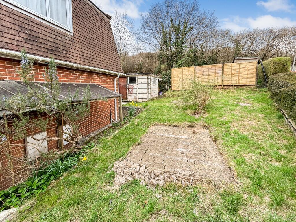
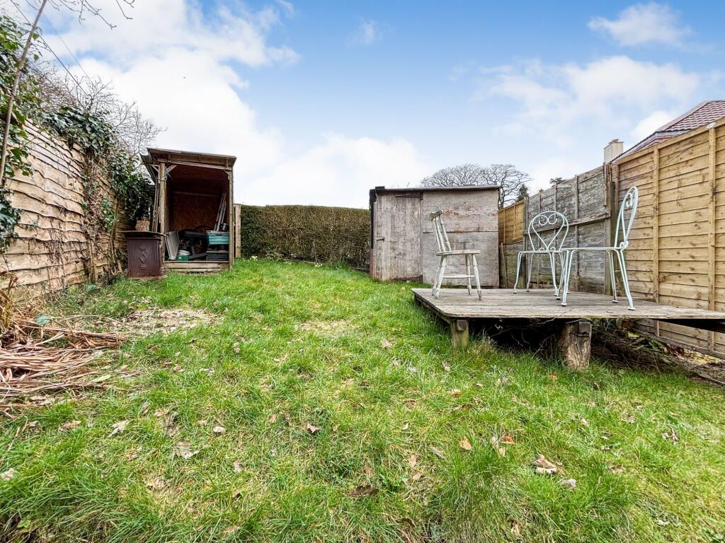
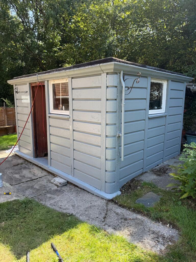
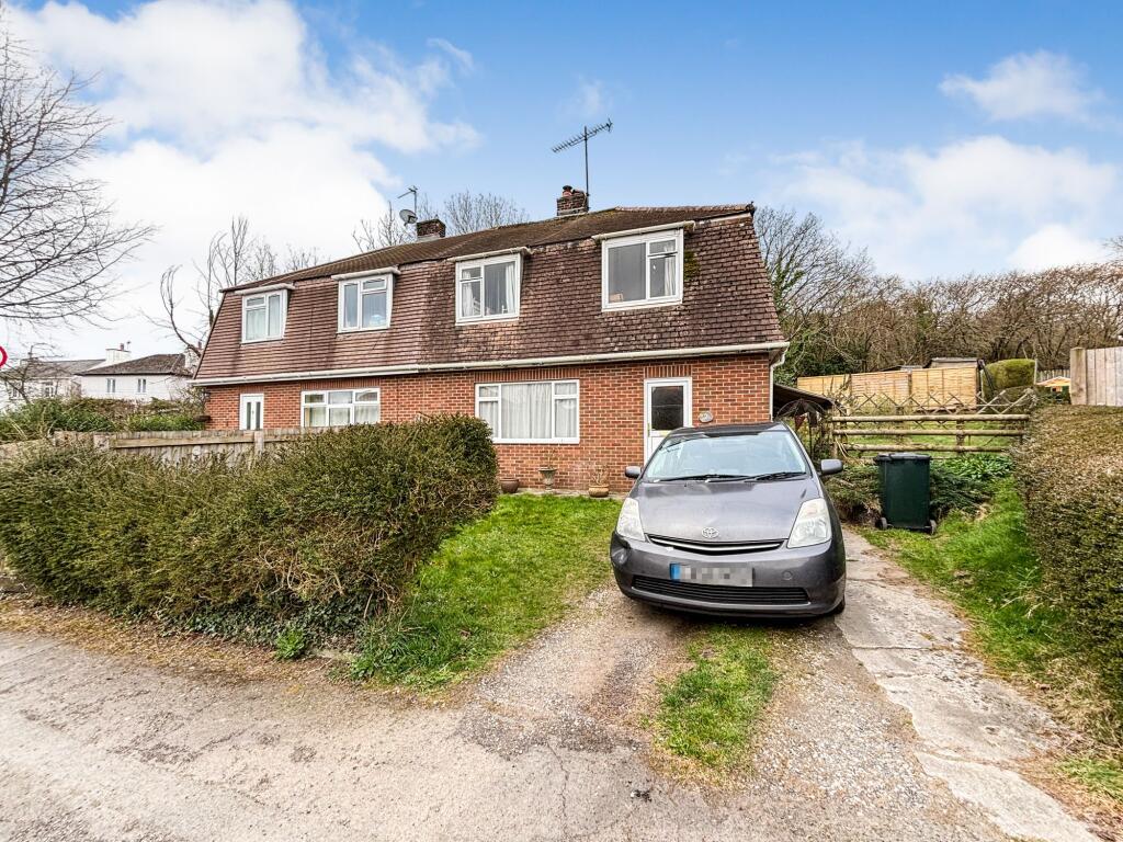
Photo 1 Photo 2 Photo 3 Photo 4 Photo 5 Photo 6 Photo 7 Photo 8 Photo 9 Photo 10 Photo 11 Photo 12 Photo 13 Photo 14 Photo 15 Photo 16 Photo 17 Photo 18
/ 18
Property details
Tenure
FREEHOLD
Floor area
90 m²
Council tax band
C
Last sold
£260,000 Dec 2025
Local average
£302,421 (-10%)
Deprivation
Decile 5 (15,595 of 33,755)
Street crime
13 incidents within 1 mile (May 2026)
Key features
- Hall
- Living Room with Wood-Burner
- Kitchen-Dining Room
- Three Bedrooms
- Bathroom
- Gas Fired Heating
- Good Sized Gardens
- Outside Store
Additional details
- Parking
- Yes
- Garden
- Yes
- Listed property
- No
- Restrictions
- No
- Required access
- No
- Rights of way
- No
- Flooded in last 5 years
- No
- Flood defences
- No
Description
2 Westabrook is a family sized semi-detached property with a generous garden and potential to create parking, subject to any required consents.
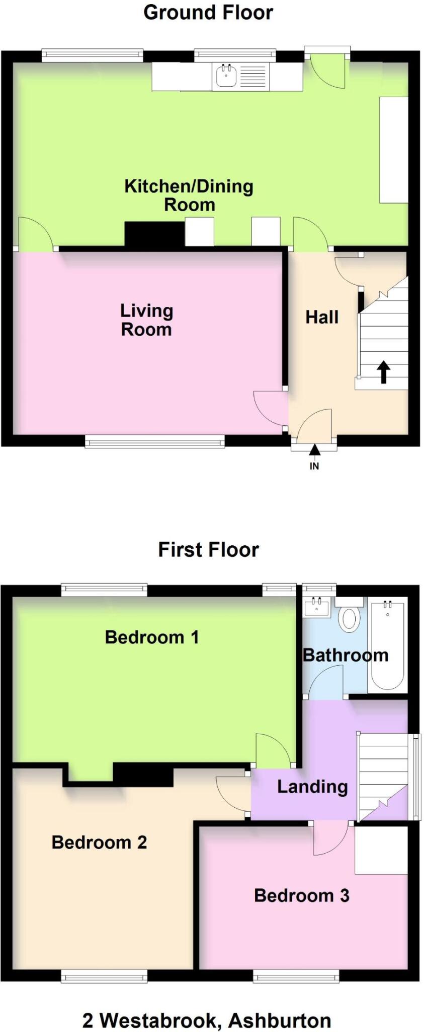
The accommodation includes an entrance hall, living room with modern wood-burner and good sized kitchen-dining room with access to the rear garden. On the first floor there are three bedrooms and a bathroom and most of the first floor rooms have exposed wooden floorboards. The property has a gas fired heating system with modern boiler. The current owners have made various improvements in their ownership and it offers great potential for a buyer to add their own stamp.
Outside, the rear garden is loosely split into three areas with lawns and various shrubbery beds. There is a useful store/workshop.
Council Tax Band: Band C at the time of preparing these particulars
Tenure: Freehold
Listed by
Ashburton
Howard Douglas
Reference: 160112045
EPC Rating & Upgrade Cost
Fetching EPC data… Refresh this page in a moment.
Flood risk
Zone: 1
Risk: Low
Job (default Low)
Floorplans
Floorplan 1
EPC Graphs
EPC

EPC
Price history
160% since 2002
| Event | Date | Price | % change |
|---|---|---|---|
| Sold | 07/12/2025 (7 months ago) | £260,000 | +160% |
| Sold | 06/11/2002 (23 years ago) | £100,000 | — |
Source: HM Land Registry Price Paid Data. Crown copyright.
Sold Comparables
Same street and nearby sales within 0.25 miles (last 5 years). Data from Land Registry Price Paid.
| Address | Price | Date | Type |
|---|---|---|---|
| Same street 37 WESTABROOK, ASHBURTON, NEWTON ABBOT, TEIGNBRIDGE, DEVON, TQ13 7QS | £290,000 | 26/05/2023 | Semi-detached |
| Same street 28 WESTABROOK, ASHBURTON, NEWTON ABBOT, TEIGNBRIDGE, DEVON, TQ13 7QS | £212,000 | 28/10/2022 | Semi-detached |
| Same street 17 WESTABROOK, ASHBURTON, NEWTON ABBOT, TEIGNBRIDGE, DEVON, TQ13 7QS | £245,000 | 01/09/2022 | Semi-detached |
| BELMONT COTTAGES 5 HEADBOROUGH ROAD, ASHBURTON, NEWTON ABBOT, TEIGNBRIDGE, DEVON, TQ13 7QR | £399,950 | 20/09/2021 | Semi-detached |
Street average: £249,000 (3 sales)
Area average: £399,950 (1 sale)
Capital growth trend
Land Registry outcode average: last 12 months vs 5y and 10y ago (from sold prices).
House Price Index (HM Land Registry — official index, not sold-price averages): Teignbridge. Series: Semi-detached. As of April 2026.
Rental Range
Estimated market rent for Teignbridge. Low = conservative, Realistic = average, Optimistic = best case.
Based on Local Authority from postcode lookup → Teignbridge.
LHA (30th percentile) floor for South Devon: £838/mo (Apr 2025 – Mar 2026)
Location
Nearby
Nearest stations, universities and amenities (distance from property).
| Type | Name | Distance |
|---|---|---|
| Shop | Unknown | 0.3 miles |
| Shop | AManda Trivett Nail Artist | 0.3 miles |
| Bus stop | Bull Ring | 0.4 miles |
| Train station | Buckfastleigh | 2.5 miles |
| Train station | Staverton | 4.5 miles |
| Hospital | Moreton Hospital | 9.9 miles |
Street-level crime
| Category | Count |
|---|---|
| Violence and sexual offences | 9 |
| Anti-social behaviour | 1 |
| Burglary | 1 |
| Other theft | 1 |
| Shoplifting | 1 |
| Total incidents | 13 |
Within 1 mile during May 2026. Source: data.police.uk (England & Wales).
Schools nearby
Nearest open schools with Ofsted ratings (England). Closed schools are not shown. Data from Get Information about Schools and Ofsted.
| Name | Type | Distance | Ofsted |
|---|---|---|---|
| Sands School | Other | 0.4 miles | — (No rating) |
| Ashburton Primary School | Primary | 0.5 miles | Good — 4 Jul 2023 |
| South Dartmoor Community College | Secondary | 0.8 miles | — (Inspected (no overall grade)) |
| St Mary's Catholic Primary School, Buckfast | Primary | 2.0 miles | Good — 28 Nov 2016 |
| Buckfastleigh Primary School | Primary | 2.8 miles | Good — 13 Mar 2024 |
Rental Comparables
Residential lets from OpenRent and Rightmove for the area (same bedroom count). Use to validate rent estimates. Student lets are excluded.
| Title | Rent | Beds | Distance | As seen on |
|---|---|---|---|---|
| 3 Bed Semi-Detached House, Home Park, TQ13 | £1,150/mo | 3 | 0.43 miles | OpenRent |
Average rent: £1,150/mo (1 listing)
Rent-driven metrics
Based on OpenRent comparables.
- Rent ratio — Monthly rent ÷ purchase price (1% rule). 1%+ = strong, 0.8–1% = okay, <0.8% = weak for cashflow.
- Max investor price — Rent ÷ 0.8%; the price at which rent would be 0.8% of price (Stoke-style target).
- Target investor price — Rent ÷ 1%; the price at which rent would be 1% of price (strong cashflow band).
- Gross yield — Annual rent as % of purchase price (no costs).
- Cost-to-rent — Price ÷ annual rent (from OpenRent comparables). Under 14× = strong, 14–16× = acceptable, 17×+ = compressed.
- Cashflow — Rent minus mortgage, 10% maintenance, £25/mo compliance. Assumes 75% LTV, 3.95% APR (5yr fixed), 25yr term.
- ROI — Annual profit ÷ cash in (deposit + 4% purchase costs).