FLAT 29
FORASTERO HOUSE, 24, FARINE AVENUE, HAYES, GREATER LONDON UB3 4GE
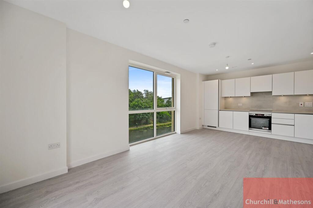
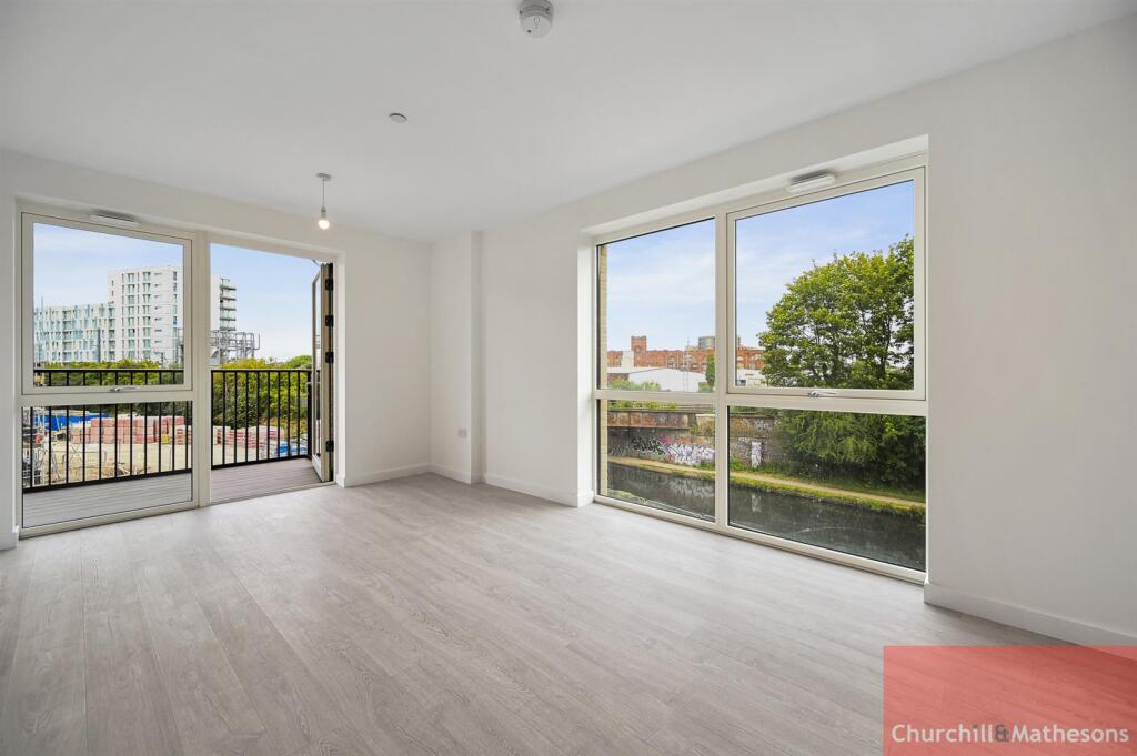
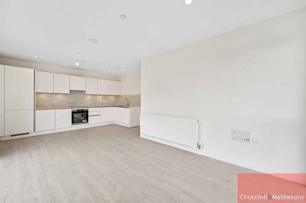
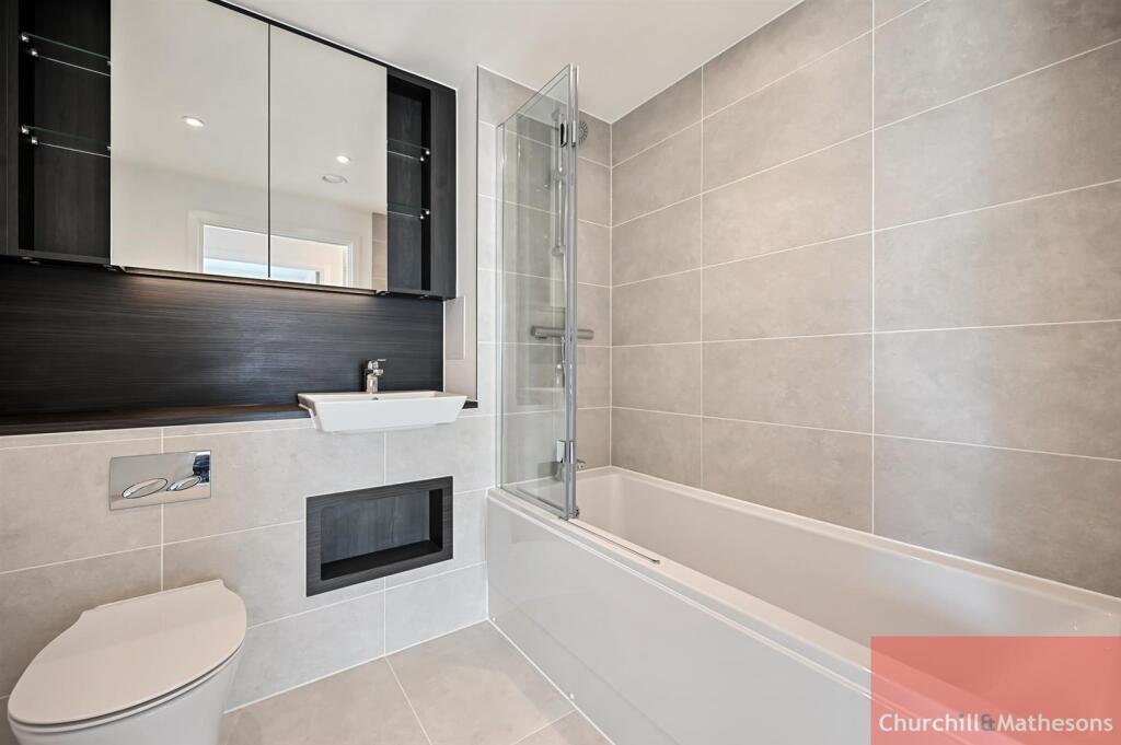
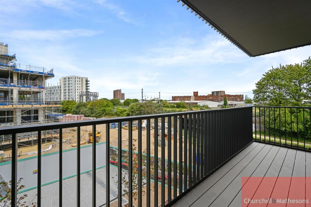
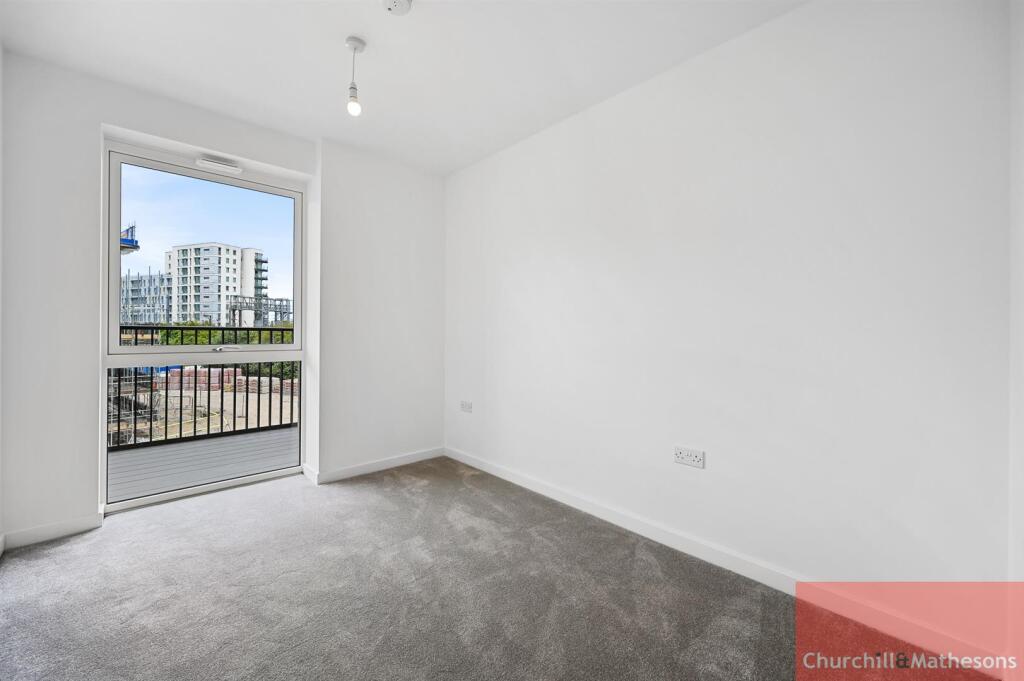
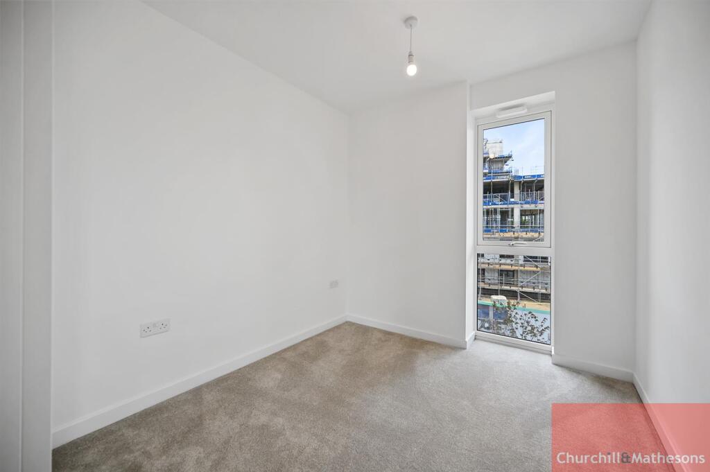
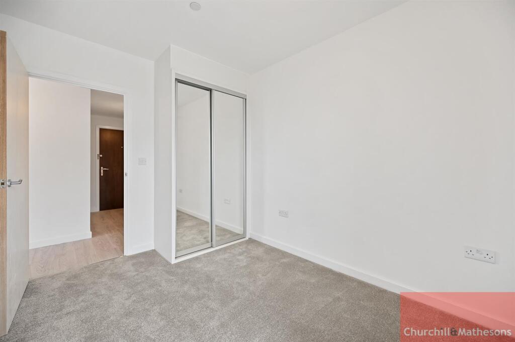
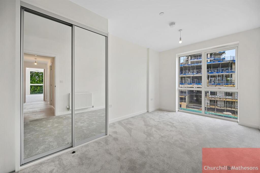
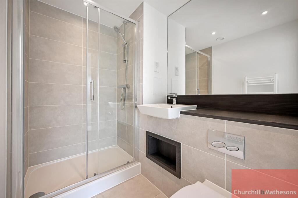
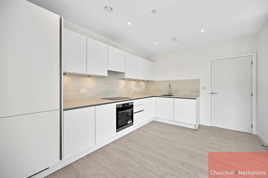
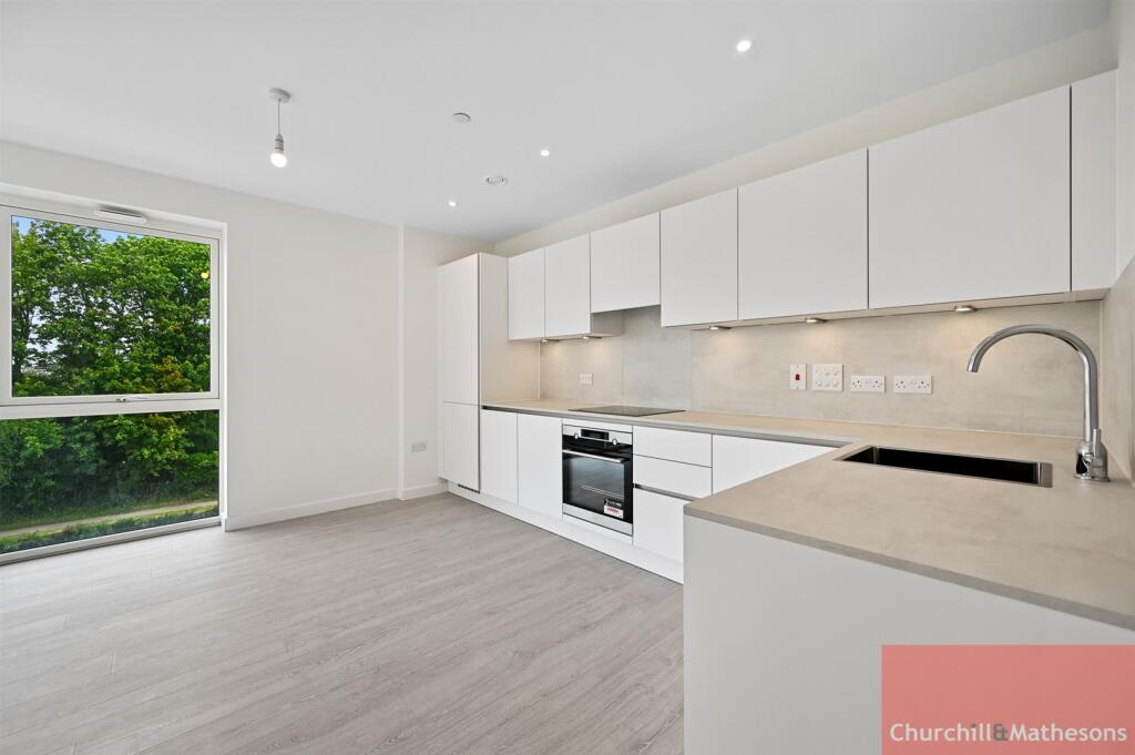
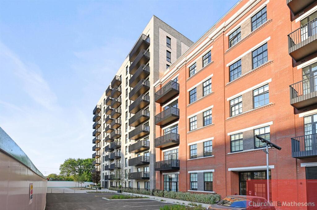
Photo 1 Photo 2 Photo 3 Photo 4 Photo 5 Photo 6 Photo 7 Photo 8 Photo 9 Photo 10 Photo 11 Photo 12 Photo 13
/ 13
Property details
Floor area
74 m²
Council tax band
D
EPC rating
B
Street crime
384 incidents within 1 mile (Mar 2026)
Key features
- Modern Apartment
- Bright & Airy
- Spacious Throughout
- Close to Transport
- Viewing Highly Recommended
- AVAILABLE 10th of JUNE
- Hayes Council, Council Tax Band D
Description
* Modern fully fitted kitchen with integrated appliances including Dishwasher
*Open plan reception with private Balcony
*Spacious bedroom with built in Wardrobe
* Stylish fully tiled bathroom
*Close to transport
*Residents Gym
*Video Entryphone System
*Viewing Highly Recommended!!
*AVAILABLE in September
Hayes Council, Council Tax Band D
EPC rating - B
Listed by
Acton
Churchills Estate Agents
Reference: 161732156
EPC Rating & Upgrade Cost
Current rating: B
Potential rating: B
Inspection date: 12/04/2023
Current heating cost: £249/year
Potential heating cost: £249/year
Flood risk
Zone: 1
Risk: Low
Job (default Low)
Floorplans
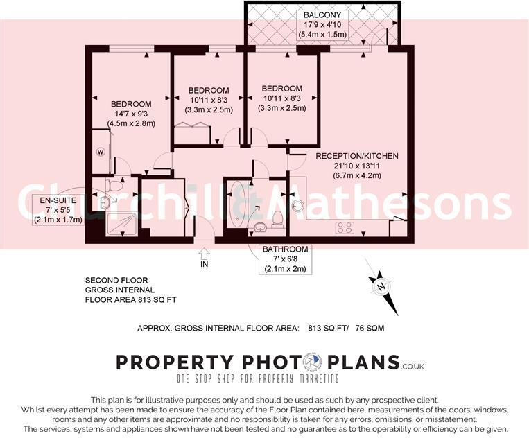
Floorplan 1
Rental Range
Estimated market rent for London. Low = conservative, Realistic = average, Optimistic = best case.
Based on Postcode area UB → London.
LHA (30th percentile) floor for South West Herts: £1,496/mo (Apr 2025 – Mar 2026)
Location
Address
14 Nestle's Avenue
Nearby
Nearest stations, universities and amenities (distance from property).
| Type | Name | Distance |
|---|---|---|
| Train station | Hayes and Harlington | 0.2 miles |
| Bus stop | Harold Avenue | 0.2 miles |
| Shop | Tesco Express | 0.2 miles |
| Shop | Station Kiosk | 0.3 miles |
| Train station | Southall | 1.6 miles |
| Hospital | Hounslow Medical Centre | 2.8 miles |
| University | University of West London | 4.6 miles |
| University | University of West London - Hellenic Institute Of Maritime Studies | 4.6 miles |
| Hospital | Watford General Hospital | 10.2 miles |
Street-level crime
| Category | Count |
|---|---|
| Violence and sexual offences | 107 |
| Anti-social behaviour | 80 |
| Vehicle crime | 39 |
| Other theft | 31 |
| Theft from the person | 25 |
| Criminal damage and arson | 23 |
| Shoplifting | 18 |
| Public order | 15 |
| Drugs | 13 |
| Burglary | 12 |
| Robbery | 8 |
| Bicycle theft | 5 |
| Other crime | 4 |
| Possession of weapons | 4 |
| Total incidents | 384 |
Within 1 mile during Mar 2026. Source: data.police.uk (England & Wales).
Schools nearby
Nearest open schools with Ofsted ratings (England). Closed schools are not shown. Data from Get Information about Schools and Ofsted.
| Name | Type | Distance | Ofsted |
|---|---|---|---|
| Botwell House Catholic Primary School | Primary | 0.5 miles | Good — 5 Nov 2014 |
| Cranford Park Academy | Primary | 0.5 miles | Good — 12 Jul 2013 |
| Global Academy | Secondary | 0.6 miles | Good — 10 Jun 2019 |
| Minet Junior School | Primary | 0.7 miles | Good — 12 Oct 2015 |
| Minet Infant and Nursery School | Primary | 0.7 miles | Good — 13 Jan 2014 |
Rental Comparables
Rental listings exist nearby, but none matched the 3-bedroom estimate from EPC for this property.