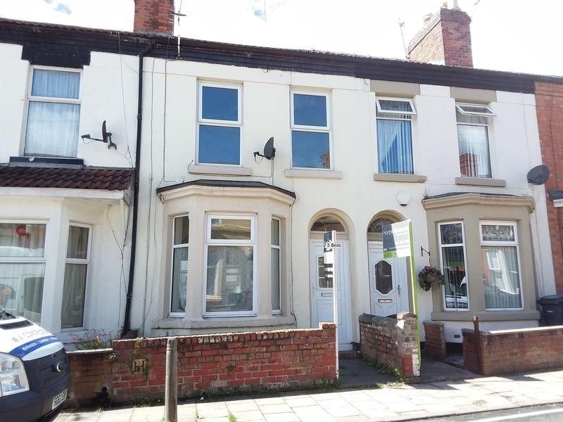
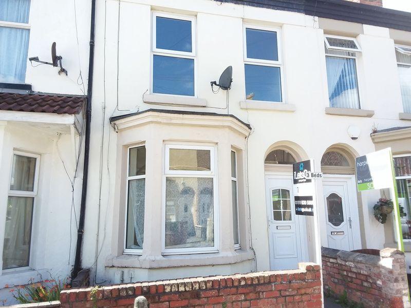
35 CHARLOTTE ROAD
WALLASEY, MERSEYSIDE CH44 0DN

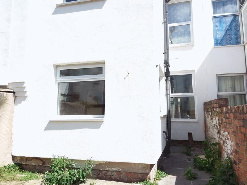
Property details
Floor area
80 m²
EPC rating
C
Year built
England and Wales: 1900-1929
Deprivation
Decile 1 (602 of 33,755)
Street crime
368 incidents within 1 mile (Mar 2026)
Key features
- Mid Terraced House
- Close To Local Amenities
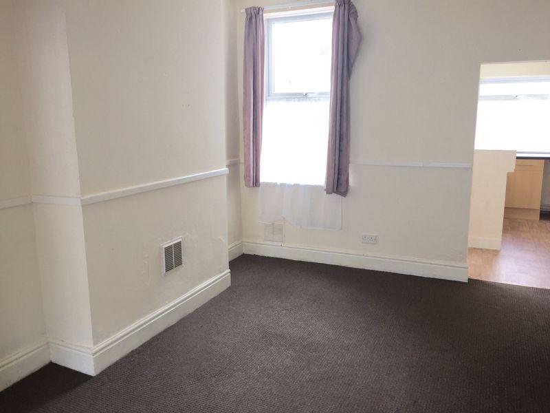
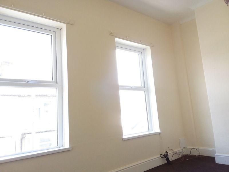
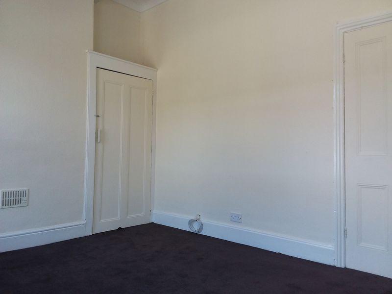
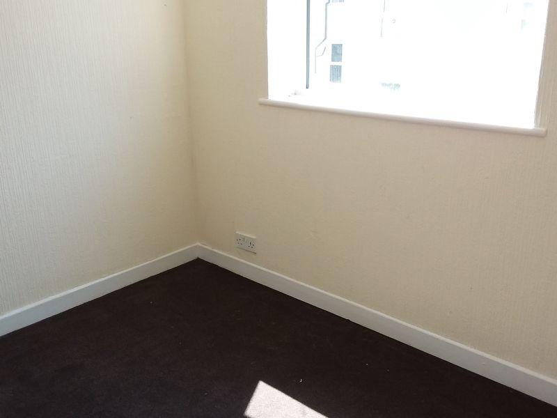
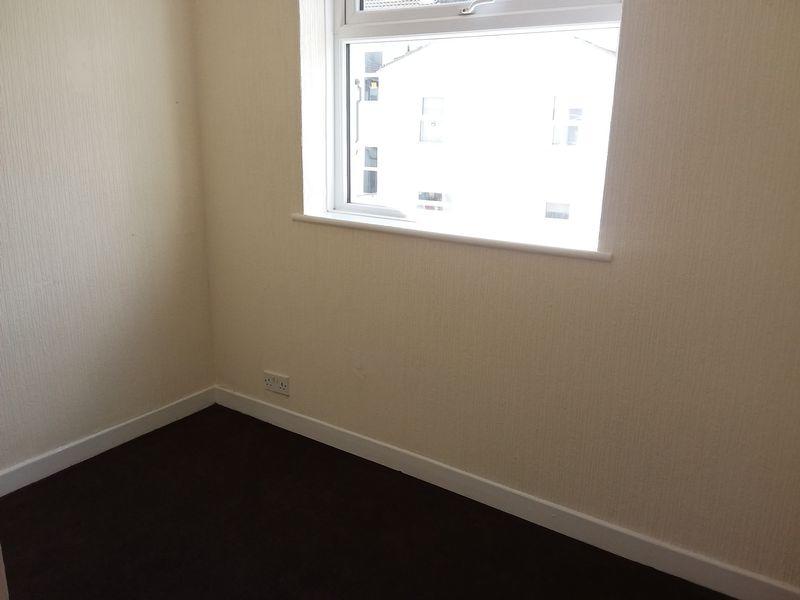
- Well Presented Spacious Accommodation Throughout
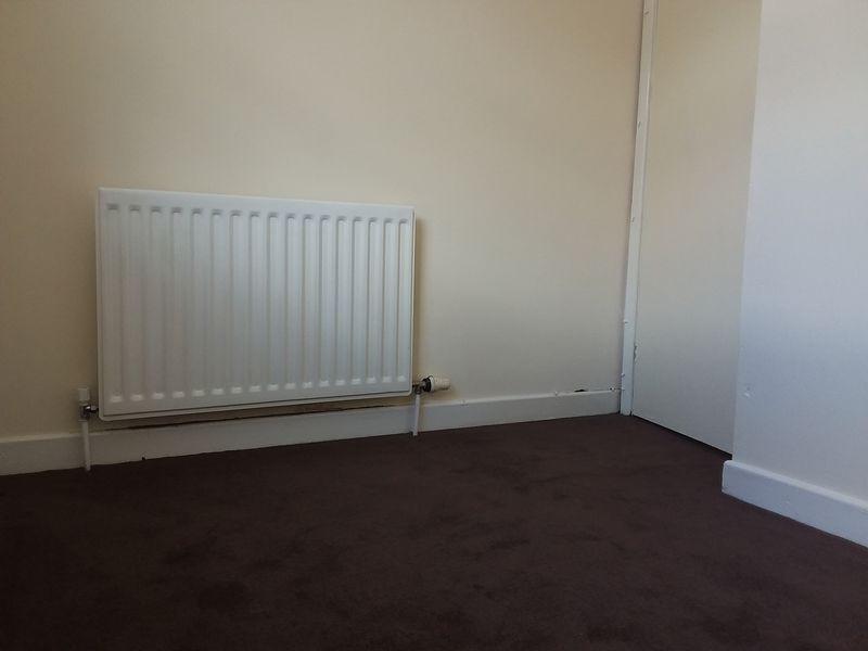
- Gas Central Heating
- Double Glazing
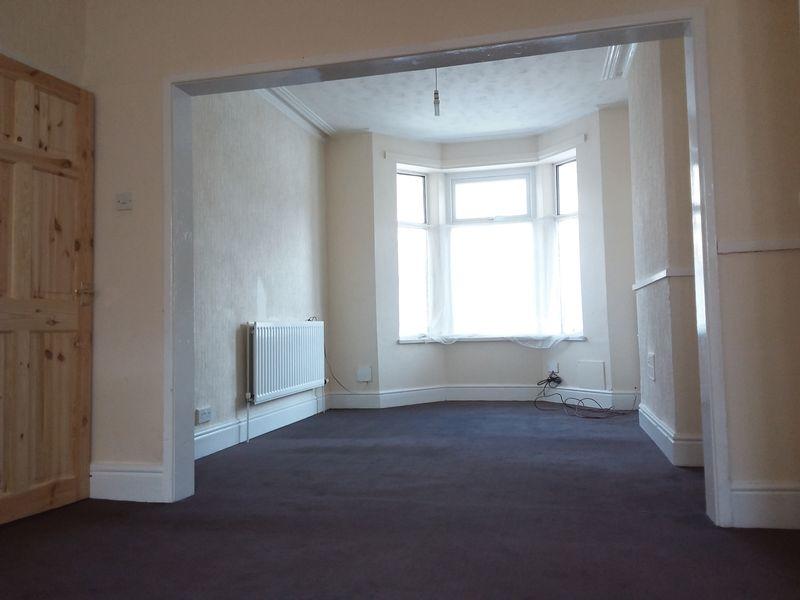
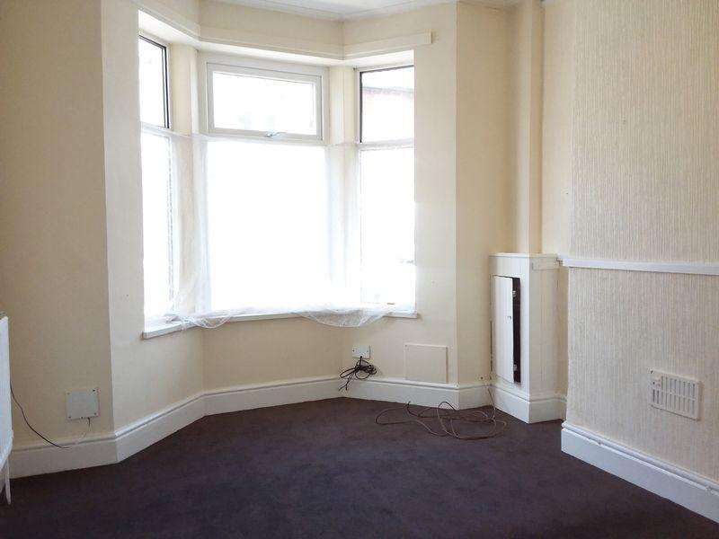
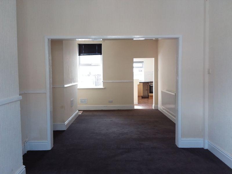
- Large Lounge/Diner
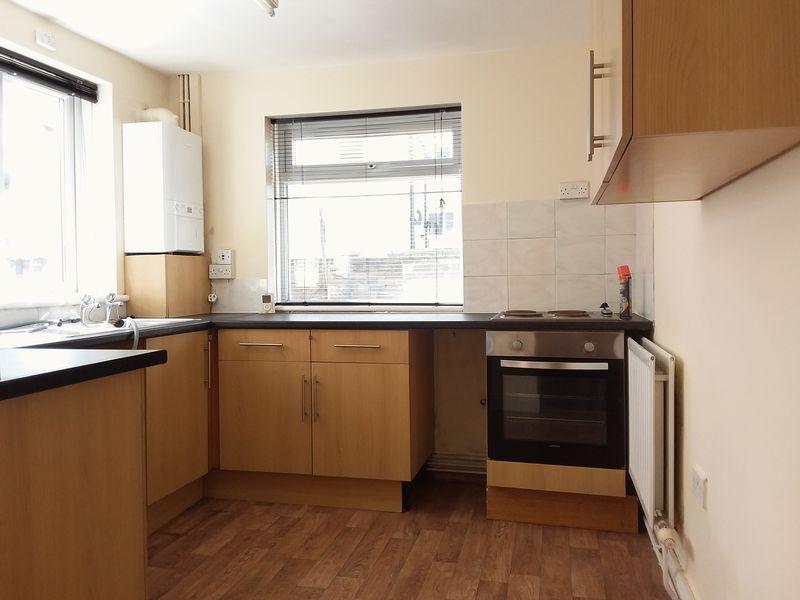
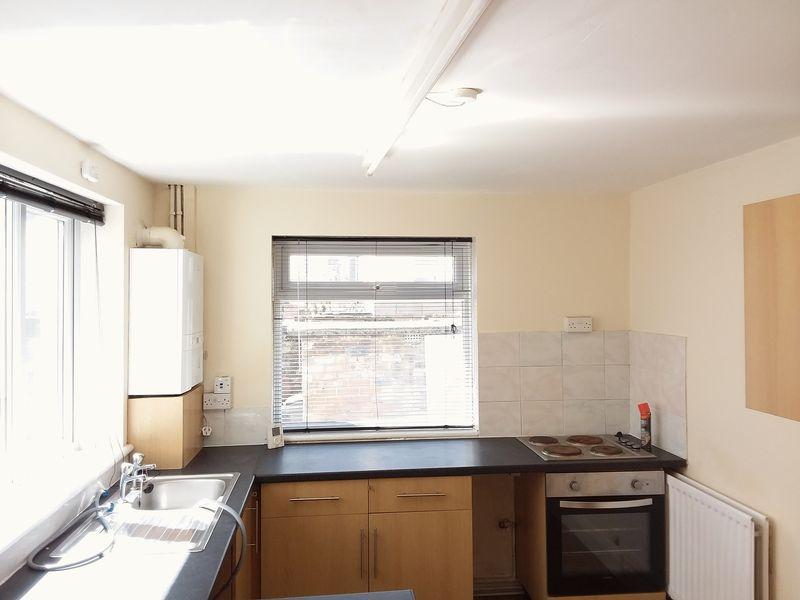
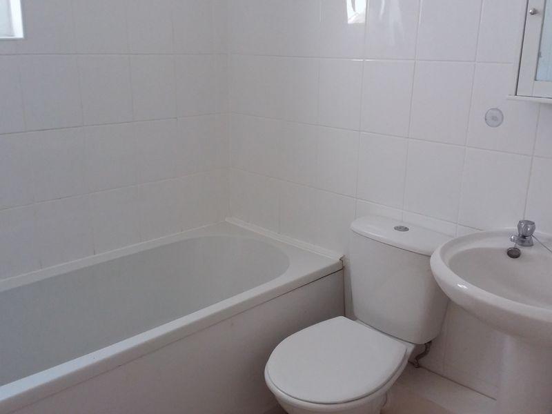
- Fitted Kitchen & Bathroom
- Three Good Sized Bedrooms
- Yard To Rear
- Council Tax Band "A"
Additional details
- Garden
- Yes
Description
Listed by
Wallasey
Ilets Go Ltd
Reference: 48359508
EPC Rating & Upgrade Cost
Current rating: C
Potential rating: B
Inspection date: 23/11/2023
Current heating cost: £877/year
Potential heating cost: £819/year
Est. upgrade cost to C: £10,500
Recommendations
- Floor insulation (suspended floor) (£800 - £1,200)
- Solar water heating (£4,000 - £6,000)
- Solar photovoltaic panels, 2.5 kWp (£3,500 - £5,500)
Flood risk
Zone: 1
Risk: Low
Job (default Low)
Rental Range
Estimated market rent for Wirral. Low = conservative, Realistic = average, Optimistic = best case.
Based on Local Authority from postcode lookup → Wirral.
LHA (30th percentile) floor for Wirral: £648/mo (Apr 2025 – Mar 2026)
Location
Nearby
Nearest stations, universities and amenities (distance from property).
| Type | Name | Distance |
|---|---|---|
| Shop | Go Local | 0.1 miles |
| Shop | Launderette Revolution | 0.1 miles |
| Bus stop | TRAFALGAR ROAD/LEA ROAD | 0.1 miles |
| Bus stop | TRAFALGAR ROAD/STRINGHEY ROAD | 0.1 miles |
| Train station | New Brighton | 1.4 miles |
| Train station | Birkenhead North | 1.5 miles |
| Hospital | Parkfield Medical Centre | 4.2 miles |
| Hospital | Greenbank Drive Surgery | 4.7 miles |
| University | Liverpool Hope University | 6.1 miles |
| University | Edge Hill University | 11.6 miles |
Street-level crime
| Category | Count |
|---|---|
| Violence and sexual offences | 147 |
| Anti-social behaviour | 57 |
| Criminal damage and arson | 44 |
| Public order | 33 |
| Drugs | 19 |
| Burglary | 14 |
| Other theft | 14 |
| Shoplifting | 12 |
| Vehicle crime | 12 |
| Other crime | 10 |
| Robbery | 3 |
| Bicycle theft | 2 |
| Possession of weapons | 1 |
| Total incidents | 368 |
Within 1 mile during Mar 2026. Source: data.police.uk (England & Wales).
Schools nearby
Nearest open schools with Ofsted ratings (England). Closed schools are not shown. Data from Get Information about Schools and Ofsted.
| Name | Type | Distance | Ofsted |
|---|---|---|---|
| Egremont Primary School | Primary | 0.3 miles | Good — 17 Jan 2022 |
| Liscard Primary School | Primary | 0.3 miles | Good — 11 Dec 2023 |
| Somerville Primary School | Primary | 0.5 miles | Good — 19 Oct 2023 |
| St Alban's Catholic Primary School | Primary | 0.6 miles | — (Inspected (no overall grade)) |
| Riverside Primary School | Primary | 0.6 miles | Good — 19 Jun 2023 |
Rental Comparables
Residential lets from OpenRent and Rightmove for the area (same bedroom count). Use to validate rent estimates. Student lets are excluded.
| Title | Rent | Beds | Distance | As seen on |
|---|---|---|---|---|
| 3 Bed End Terrace, Charlotte Road, CH44 | £850/mo | 3 | 0.01 miles | OpenRent |
| 3 Bed Terraced House, Lea Road, CH44 | £1,000/mo | 3 | 0.01 miles | OpenRent |
| 3 Bed Terraced House, Pathfinder Terrace, TA6 | £3,165/mo | 3 | 0.14 miles | OpenRent |
| 3 Bed Terraced House, Bishop Road, CH44 | £550/mo | 3 | 0.88 miles | OpenRent |
Average rent: £1,391/mo (4 listings)