145 ST ANN'S HILL
LONDON, GREATER LONDON SW18 2RX
Property details
Deprivation
Decile 5 (16,825 of 33,755)
Street crime
606 incidents within 1 mile (Apr 2026)
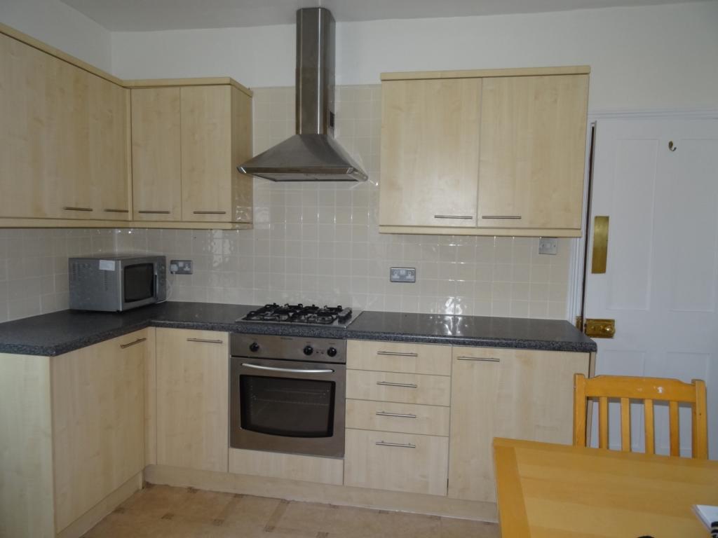
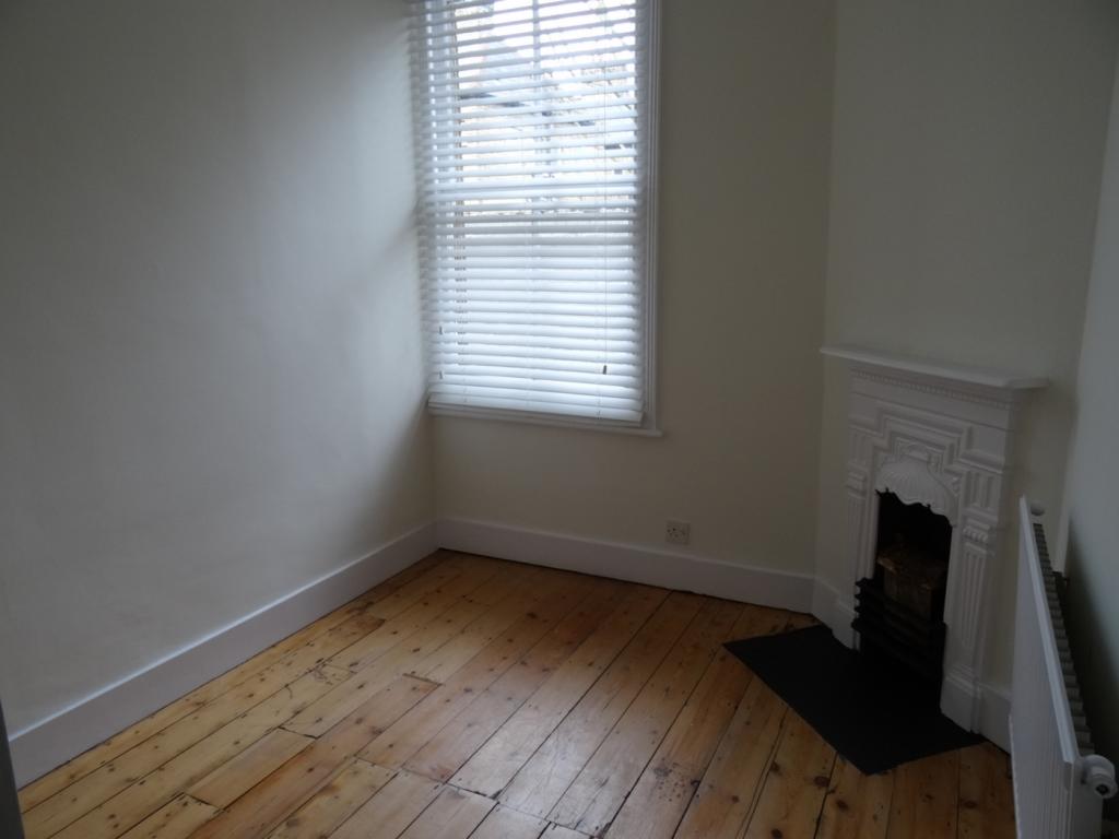
Additional details
- Heating
- Gas central
- Parking
- Residents
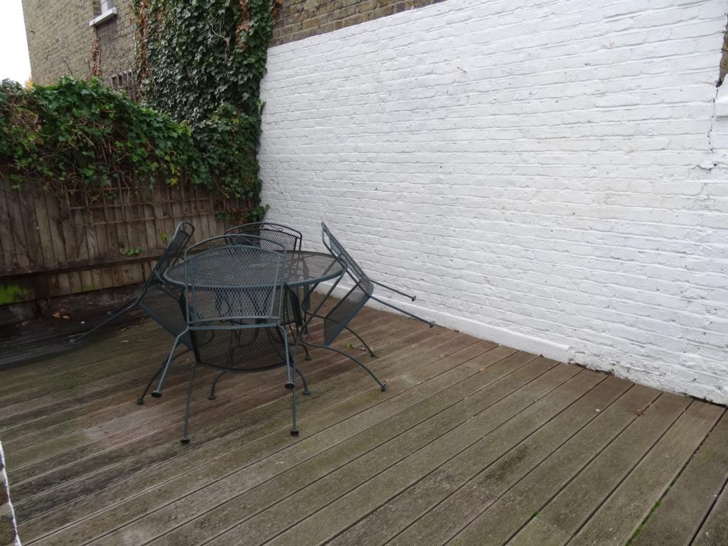
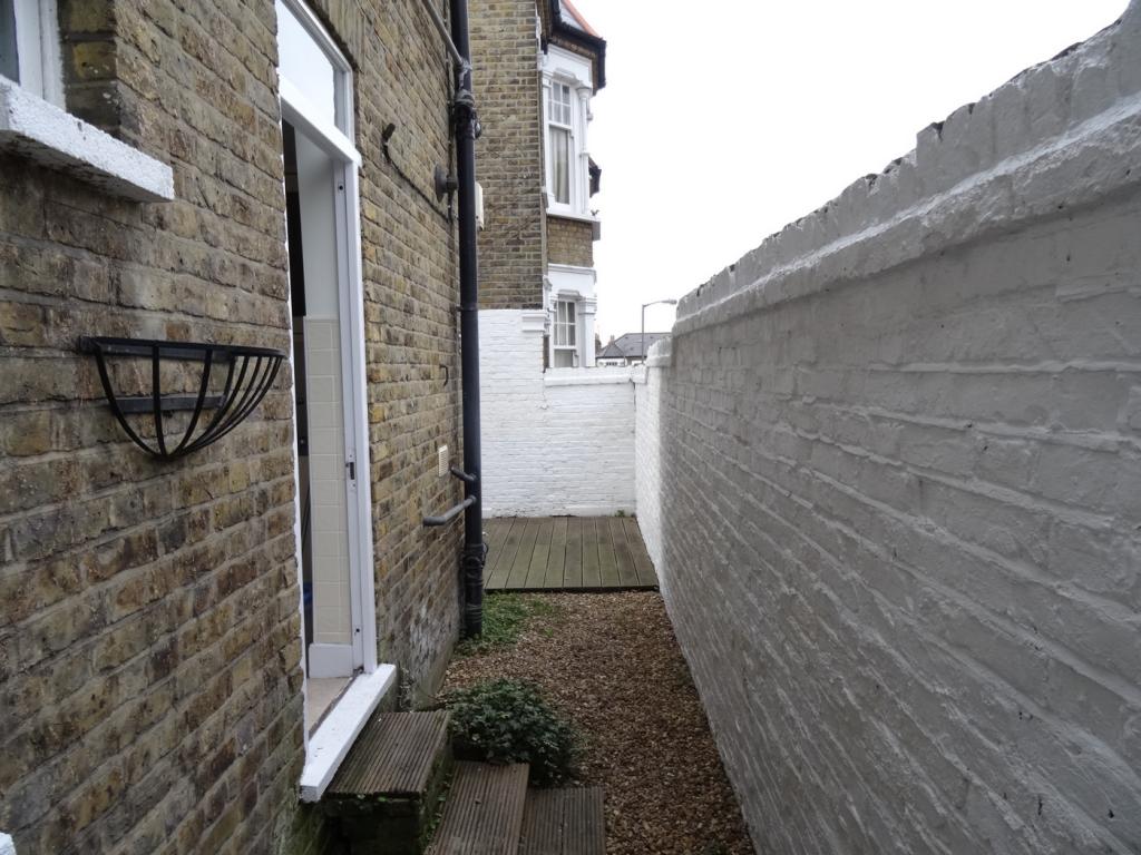
- Garden
- Yes
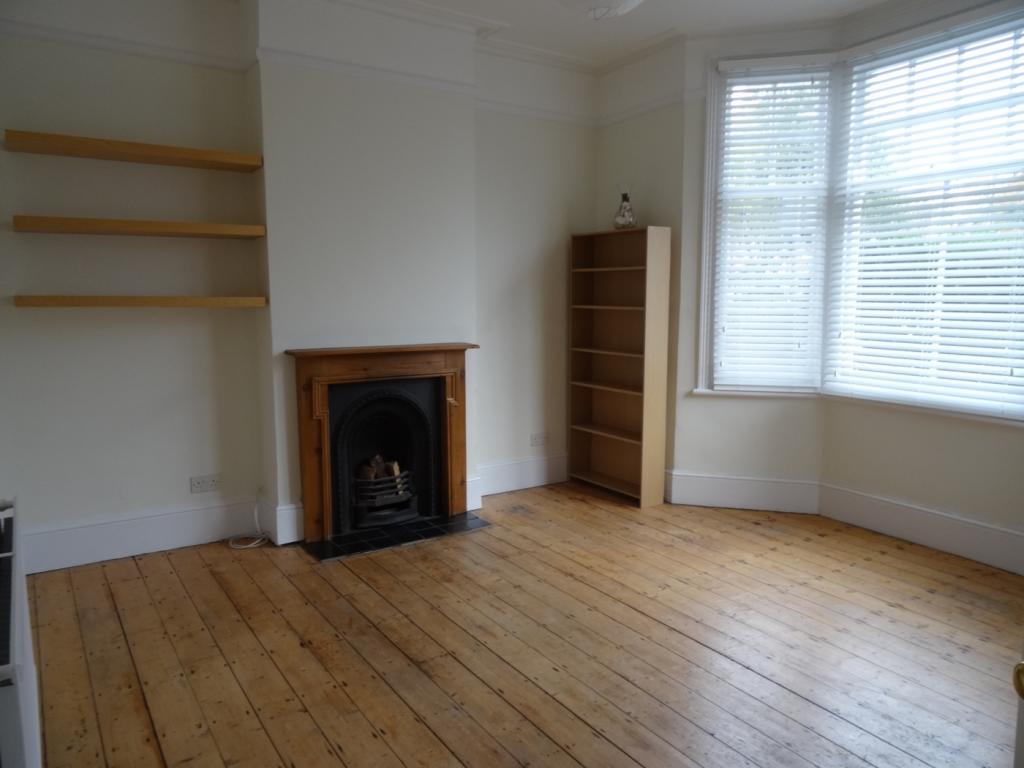
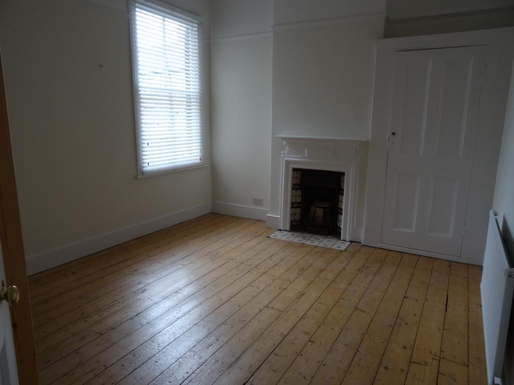
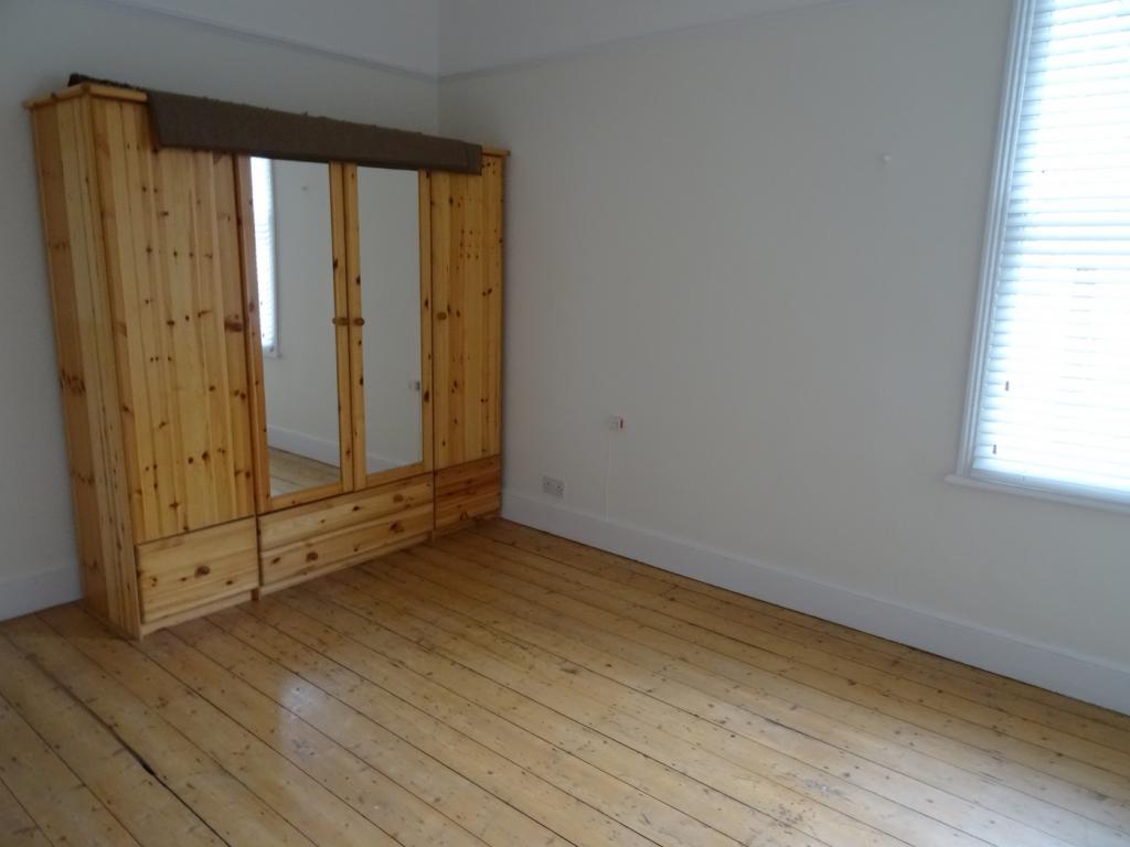
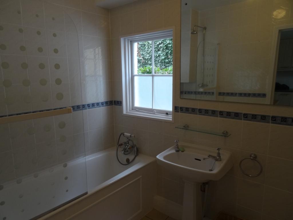
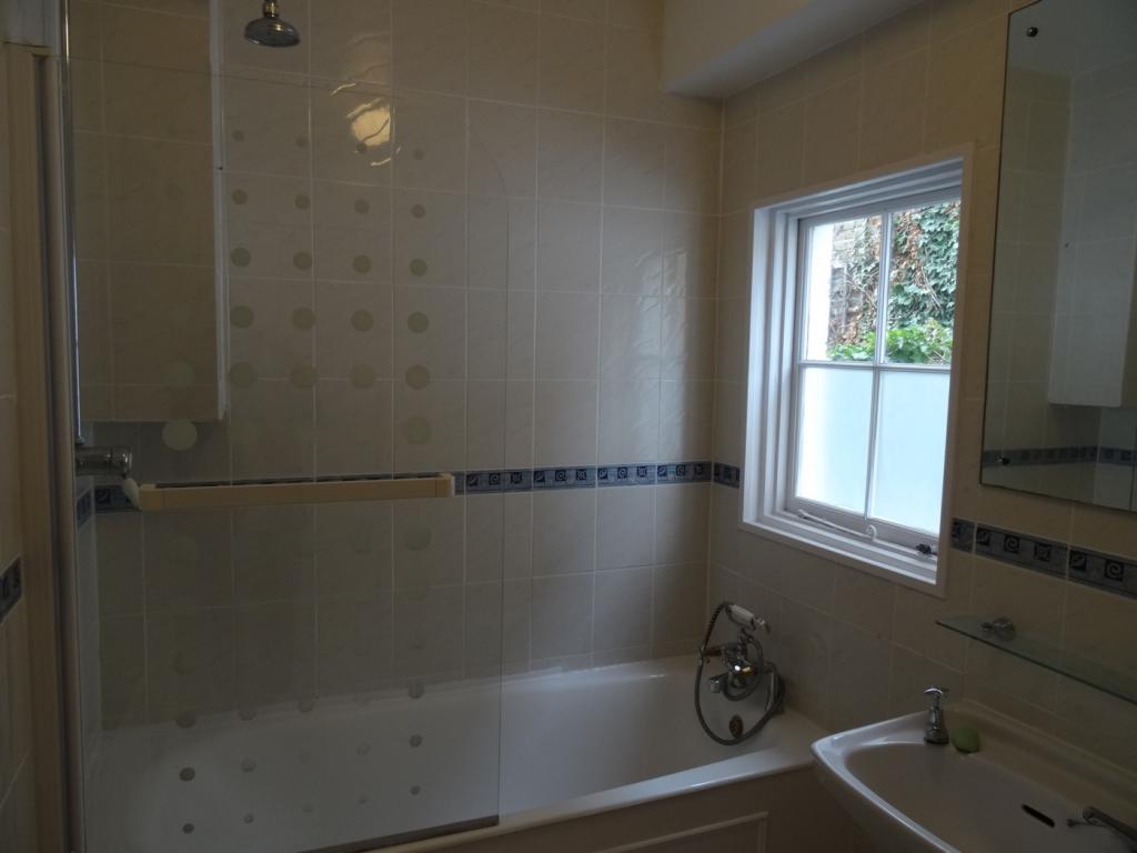
Description
Listed by
London
Longbow Property Ltd
Reference: 36226719
EPC Rating & Upgrade Cost
Fetching EPC data… Refresh this page in a moment.
Flood risk
Zone: 1
Risk: Low
Job (default Low)
EPC Graphs
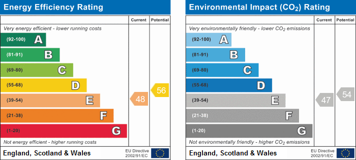
EPC
FENSA Certificates
This property has 1 FENSA certificate(s) on record, indicating window/door installations by FENSA-approved installers.
FENSA Certificate #16482203 Recent
Property Details
Street: 145 St. Ann's Hill
Town: LONDON
Postcode: SW18 2RX
Installation Details
Items: 2 windows and 1 door
Certificate Issued: 22/09/2024
Work Completed: 27/08/2024
This certificate data was retrieved from FENSA's database
What is FENSA? FENSA (Fenestration Self-Assessment Scheme) is a government-authorised scheme that monitors building regulation compliance for replacement windows and doors. Certificates indicate that work was completed by FENSA-approved installers.
Rental Range
Estimated market rent for Wandsworth. Low = conservative, Realistic = average, Optimistic = best case.
Based on Local Authority from postcode lookup → Wandsworth.
LHA (30th percentile) floor for Central London: £1,789/mo (Apr 2025 – Mar 2026)
Location
Nearby
Nearest stations, universities and amenities (distance from property).
| Type | Name | Distance |
|---|---|---|
| Bus stop | Mapleton Road | 0.2 miles |
| Shop | Stratton Cycles | 0.2 miles |
| Shop | Cher Salon | 0.2 miles |
| Train station | Wandsworth Town | 0.4 miles |
| Train station | Earlsfield | 0.8 miles |
| University | Horton Halls Reception | 1.4 miles |
| Hospital | Bridge Lane Health Centre | 1.6 miles |
| University | BIMM Institute London | 1.8 miles |
| Hospital | Chapel Orchard Day Surgery | 3.7 miles |
Street-level crime
| Category | Count |
|---|---|
| Anti-social behaviour | 150 |
| Violence and sexual offences | 145 |
| Other theft | 49 |
| Vehicle crime | 48 |
| Burglary | 43 |
| Shoplifting | 41 |
| Public order | 39 |
| Criminal damage and arson | 23 |
| Drugs | 20 |
| Robbery | 17 |
| Bicycle theft | 15 |
| Possession of weapons | 6 |
| Theft from the person | 6 |
| Other crime | 4 |
| Total incidents | 606 |
Within 1 mile during Apr 2026. Source: data.police.uk (England & Wales).
Schools nearby
Nearest open schools with Ofsted ratings (England). Closed schools are not shown. Data from Get Information about Schools and Ofsted.
| Name | Type | Distance | Ofsted |
|---|---|---|---|
| St Anne's CofE Primary School | Primary | 0.1 miles | Good — 22 Apr 2013 |
| Anglo Portuguese School of London | Primary | 0.1 miles | Good — 14 Jun 2023 |
| Allfarthing Primary School | Primary | 0.1 miles | Good — 20 Dec 2013 |
| Wandsworth Preparatory School | Other | 0.2 miles | — (No rating) |
| Swaffield School | Primary | 0.3 miles | Good — 20 Jul 2011 |
Rental Comparables
Residential lets from OpenRent and Rightmove for the area (same bedroom count). Use to validate rent estimates. Student lets are excluded.
| Title | Rent | Beds | Distance | As seen on |
|---|---|---|---|---|
| 2 Bed Flat, Wandsworth High Street, SW18 | £2,950/mo | 2 | 0.39 miles | OpenRent |
| 2 Bed Flat, Broomhill Road, SW18 | £2,400/mo | 2 | 0.41 miles | OpenRent |
Average rent: £2,675/mo (2 listings)