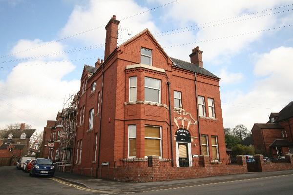
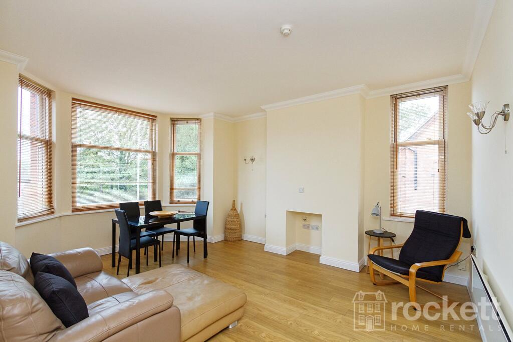
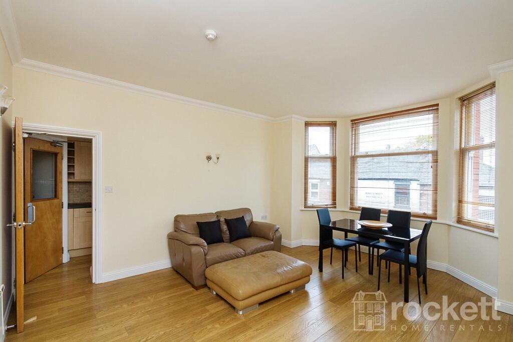
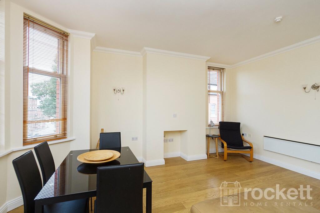
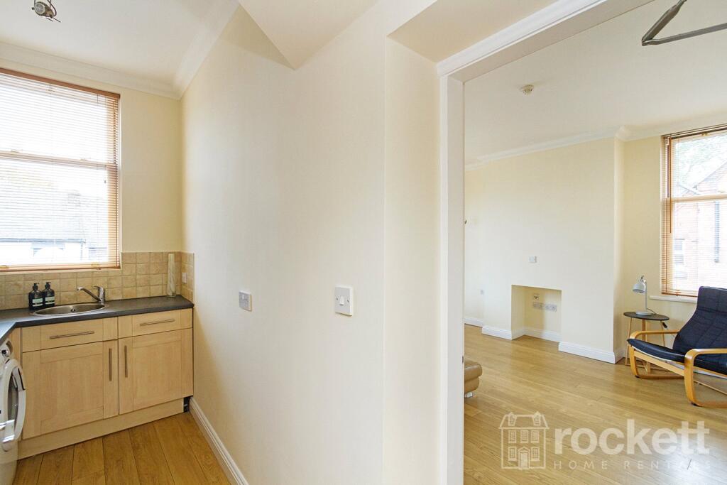
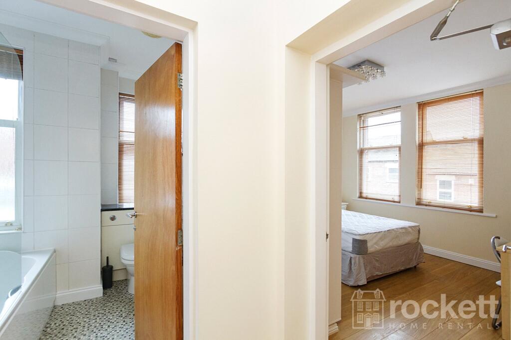
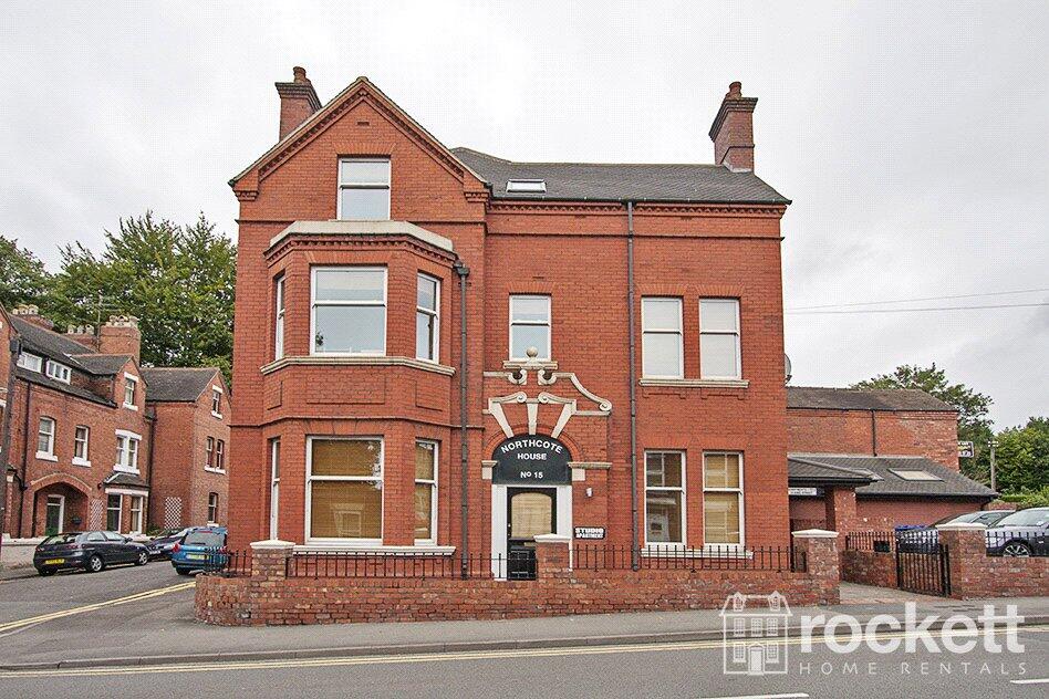
APARTMENT 3
15 KING STREET, NEWCASTLE, STAFFORDSHIRE ST5 1JF
£875 pcm
Property details
Floor area
45 m²
Council tax band
B
Deprivation
Decile 4 (11,363 of 33,755)
Street crime
370 incidents within 1 mile (May 2026)
Additional details
- Parking
- Allocated
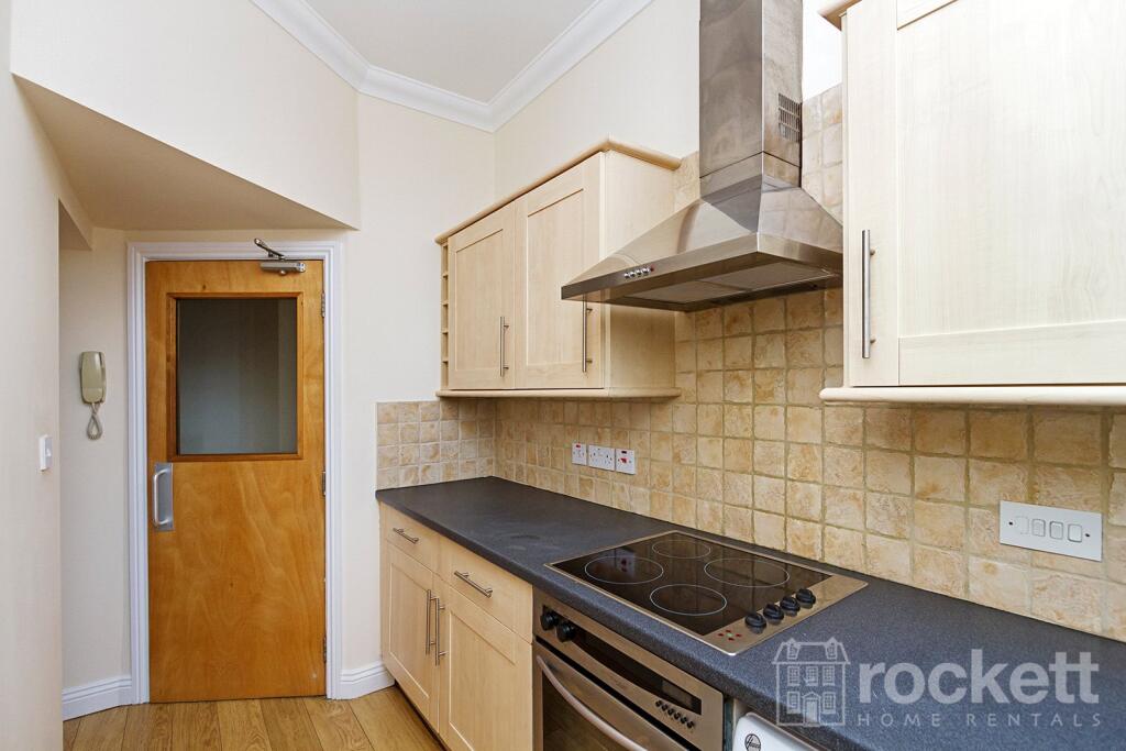
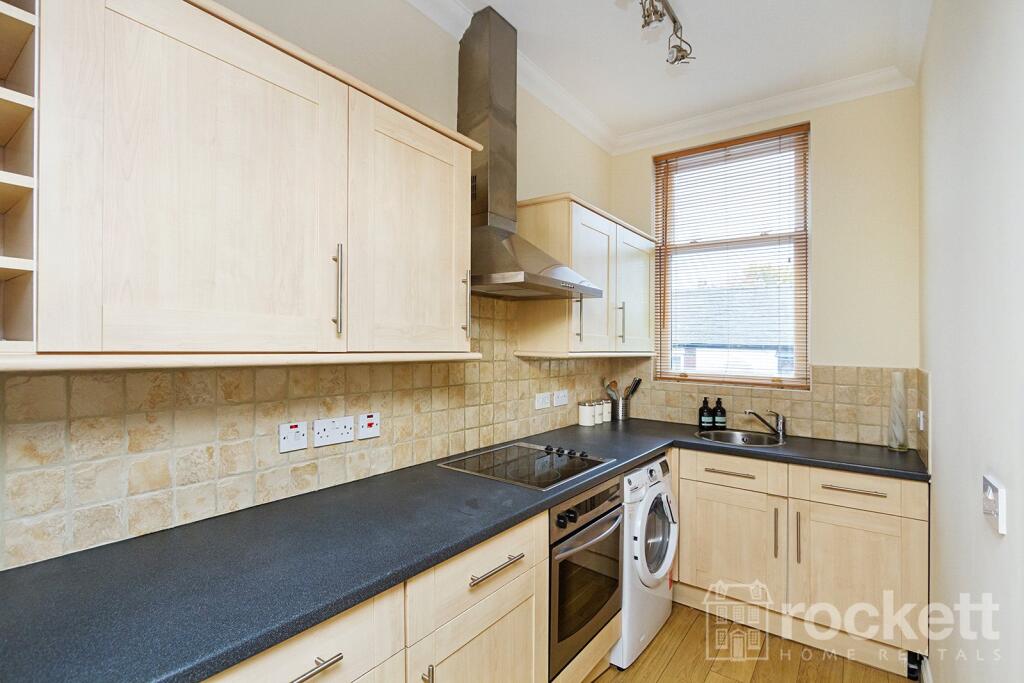
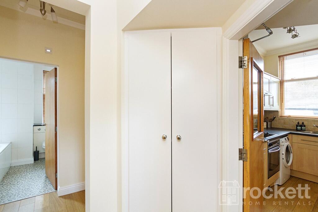
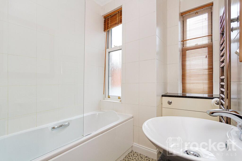
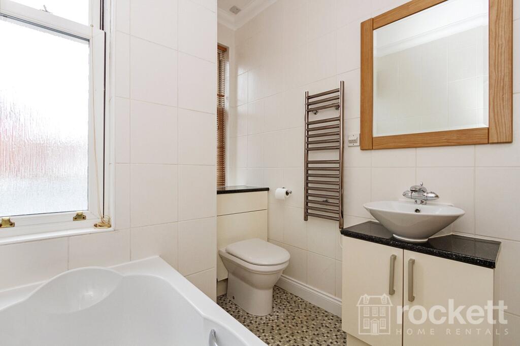
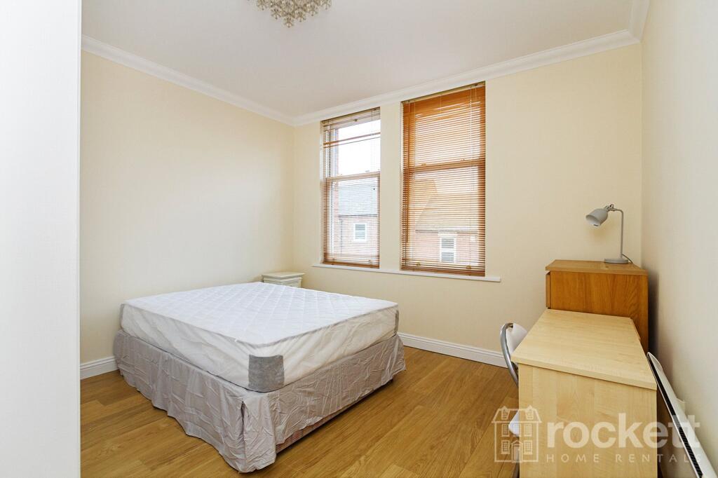
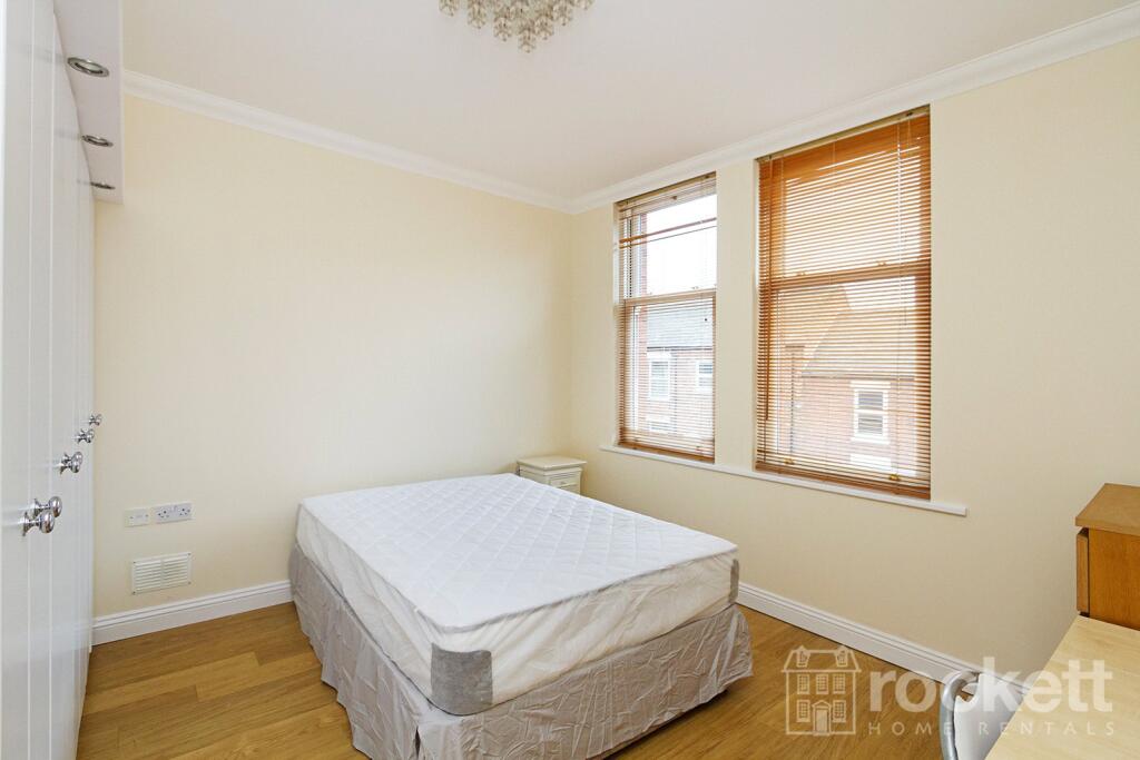
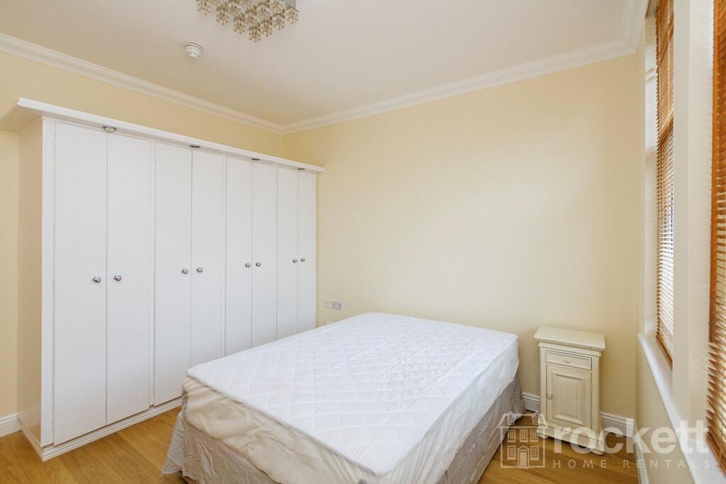
Description
This property is managed by the landlord.
Council Tax Band B.
ROC050013
We have created a brochure for you full of lots of information on the property:
Listed by
Wolstanton
Rockett Home Rentals Ltd
Reference: 88651032
EPC Rating & Upgrade Cost
Fetching EPC data… Refresh this page in a moment.
Flood risk
Zone: 1
Risk: Low
Job (default Low)
EPC Graphs
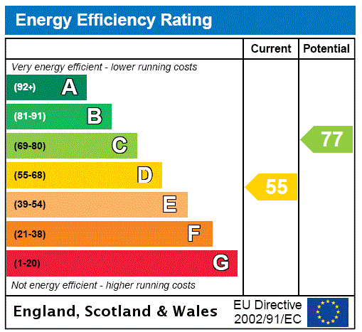
EPC Rating Graph
FENSA Certificates
This property has 1 FENSA certificate(s) on record, indicating window/door installations by FENSA-approved installers.
FENSA Certificate #3057072
Property Details
Street: 15 King Street
Town: NEWCASTLE
Postcode: ST5 1JF
Installation Details
Items: 31 windows
Certificate Issued: 19/09/2005
Work Completed: 23/11/2004
This certificate data was retrieved from FENSA's database
What is FENSA? FENSA (Fenestration Self-Assessment Scheme) is a government-authorised scheme that monitors building regulation compliance for replacement windows and doors. Certificates indicate that work was completed by FENSA-approved installers.
Rental Range
Estimated market rent for Newcastle-under-Lyme. Low = conservative, Realistic = average, Optimistic = best case.
Based on Local Authority from postcode lookup → Newcastle-under-Lyme.
LHA (30th percentile) floor for Staffordshire North: £424/mo (Apr 2025 – Mar 2026)
Location
Nearby
Nearest stations, universities and amenities (distance from property).
| Type | Name | Distance |
|---|---|---|
| Bus stop | Borough Arms Hotel | 0.1 miles |
| Bus stop | Albert Street | 0.1 miles |
| Shop | Malkophoto Framers | 0.1 miles |
| Shop | Yoggi | 0.3 miles |
| Hospital | Royal Stoke University Hospital | 0.8 miles |
| Train station | Stoke-on-Trent | 1.7 miles |
| Hospital | North Staffordshire Nuffield Hospital | 1.8 miles |
| Train station | Longport | 1.9 miles |
| University | Keele University | 2.3 miles |
| University | University of Buckingham Crewe Campus | 10.0 miles |
Street-level crime
| Category | Count |
|---|---|
| Violence and sexual offences | 138 |
| Anti-social behaviour | 72 |
| Public order | 37 |
| Shoplifting | 31 |
| Drugs | 22 |
| Criminal damage and arson | 21 |
| Other theft | 17 |
| Burglary | 11 |
| Vehicle crime | 7 |
| Robbery | 6 |
| Bicycle theft | 4 |
| Other crime | 3 |
| Theft from the person | 1 |
| Total incidents | 370 |
Within 1 mile during May 2026. Source: data.police.uk (England & Wales).
Schools nearby
Nearest open schools with Ofsted ratings (England). Closed schools are not shown. Data from Get Information about Schools and Ofsted.
| Name | Type | Distance | Ofsted |
|---|---|---|---|
| Demetae Academy | Other | 0.0 miles | Good — 30 Jun 2022 |
| Lyme Brook Independent School | Other | 0.1 miles | Good — 22 Oct 2023 |
| Newcastle-under-Lyme School | Other | 0.3 miles | — (No rating) |
| Hassell Primary School | Primary | 0.3 miles | Good — 25 Oct 2023 |
| Harpfield Primary Academy | Primary | 0.4 miles | Good — 10 Feb 2015 |
Rental Comparables
Residential lets from OpenRent and Rightmove for the area (same bedroom count). Use to validate rent estimates. Student lets are excluded.
Average rent: £749/mo (29 listings)