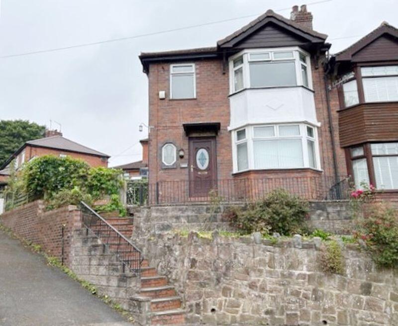
Northcote Avenue
Hartshill, Stoke-On-Trent, ST4 7NB
£895 pcm

Property details
Council tax band
B
Deprivation
Decile 1 (2,765 of 33,755)
Street crime
461 incidents within 1 mile (Apr 2026)
Key features
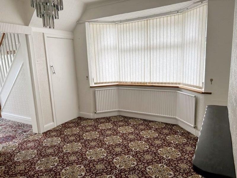
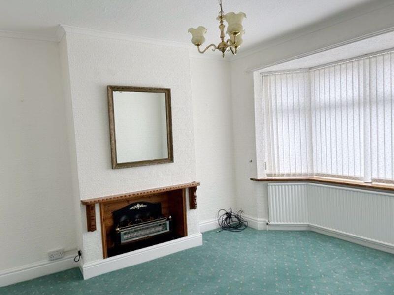
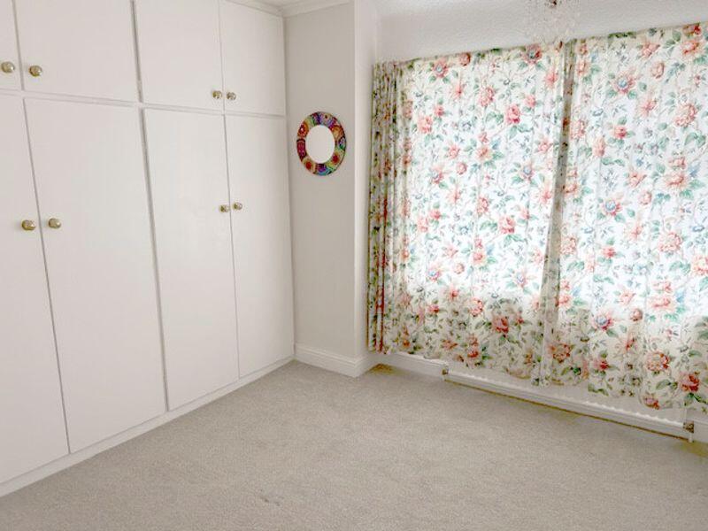
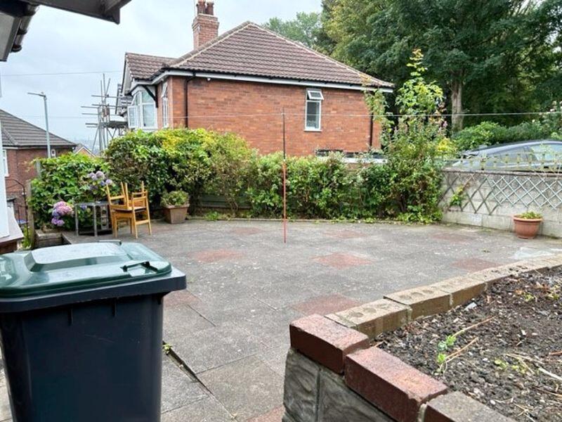
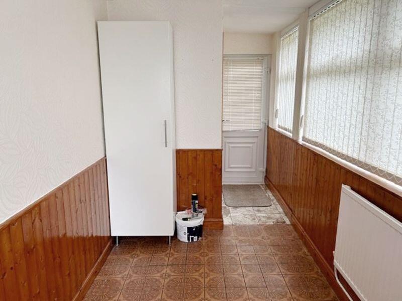
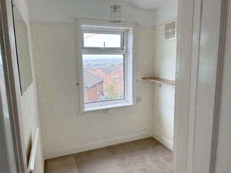
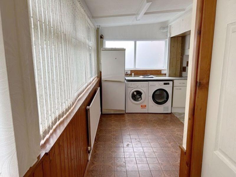
- Large 3 bed semi in Hartshill
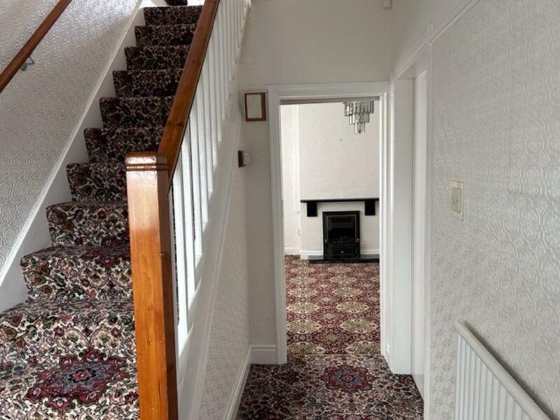
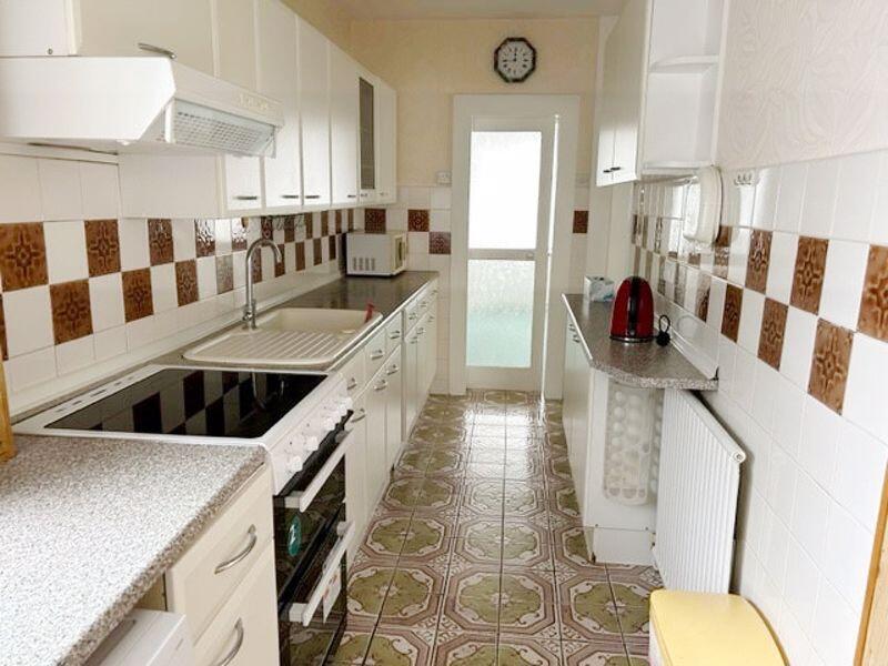
- 2 Receptions, Large L-shaped Kitchen
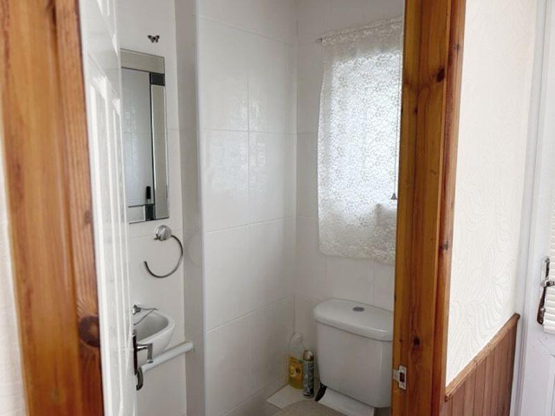
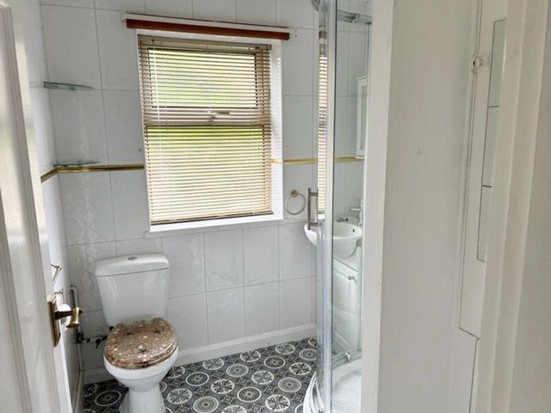
- Ground Floor Cloakroom & Upstairs Bathroom
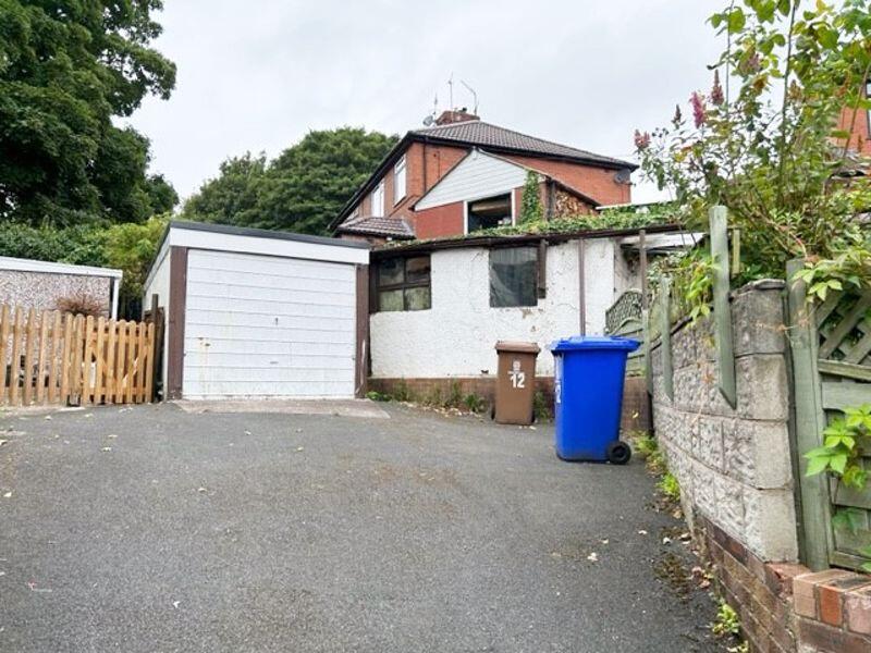
- Gardens, Drive & Garage
- Council Tax Band B
- EPC Rating 61, Band D
Additional details
- Parking
- Yes
- Garden
- Yes
Description
Listed by
Stoke On Trent
Keates Hulme
Reference: 88908294
EPC ratings on this postcode
We don't have a matched EPC for this property yet. Below are efficiency scores and details for other addresses on this postcode.
| Address | Current | Potential | Floor area | Age band | Type |
|---|---|---|---|---|---|
| 1 NORTHCOTE AVENUE, STOKE, STOKE-ON-TRENT, STOKE-ON-TRENT | 69 | 82 | 98 m² | England and Wales: 1930-1949 | Detached |
| 10 NORTHCOTE AVENUE, STOKE, STOKE-ON-TRENT, STOKE-ON-TRENT | 71 | 85 | 77 m² | England and Wales: 1930-1949 | Detached |
| 12 Northcote Avenue, STOKE-ON-TRENT | 61 | 78 | 97 m² | England and Wales: 1930-1949 | Detached |
| 2 Northcote Avenue, STOKE-ON-TRENT | 62 | 85 | 76 m² | England and Wales: 1930-1949 | Detached |
| 4, Northcote Avenue, STOKE-ON-TRENT | 64 | 83 | 76 m² | England and Wales: 1930-1949 | Detached |
| 4, Northcote Avenue, STOKE-ON-TRENT | 65 | 83 | 76 m² | England and Wales: 1930-1949 | Detached |
| 6, Northcote Avenue, STOKE-ON-TRENT | 45 | 76 | 77 m² | England and Wales: 1930-1949 | Detached |
| 7 Northcote Avenue, STOKE-ON-TRENT | 86 | 88 | 107 m² | England and Wales: 1930-1949 | Detached |
| 7 Northcote Avenue, STOKE-ON-TRENT | 34 | 78 | 78 m² | England and Wales: 1930-1949 | Detached |
| 8 Northcote Avenue, STOKE-ON-TRENT | 62 | 85 | 63 m² | England and Wales: 1930-1949 | Detached |
Flood risk
Zone: 1
Risk: Low
Job (default Low)
EPC Graphs

Energy Performance Certificate
Rental Range
Estimated market rent for Stoke-on-Trent. Low = conservative, Realistic = average, Optimistic = best case.
Based on Local Authority from postcode lookup → Stoke-on-Trent.
LHA (30th percentile) floor for Staffordshire North: £593/mo (Apr 2025 – Mar 2026)
Location
Address
Northcote Avenue
Nearby
Nearest stations, universities and amenities (distance from property).
| Type | Name | Distance |
|---|---|---|
| Bus stop | Higson Avenue | 0.0 miles |
| Bus stop | Stop Z | 0.1 miles |
| Shop | Penkhull Food & Wine Store | 0.2 miles |
| Shop | Theresa's Hairdressing Salon | 0.2 miles |
| Train station | Stoke-on-Trent | 0.4 miles |
| Hospital | Royal Stoke University Hospital | 1.0 miles |
| Hospital | North Staffordshire Nuffield Hospital | 1.9 miles |
| Train station | Longton | 2.5 miles |
| University | Keele University | 3.4 miles |
| University | Buxton & Leek College | 9.8 miles |
Street-level crime
| Category | Count |
|---|---|
| Violence and sexual offences | 145 |
| Anti-social behaviour | 63 |
| Shoplifting | 47 |
| Public order | 43 |
| Criminal damage and arson | 40 |
| Other theft | 25 |
| Vehicle crime | 23 |
| Burglary | 21 |
| Drugs | 20 |
| Other crime | 14 |
| Possession of weapons | 9 |
| Robbery | 5 |
| Bicycle theft | 4 |
| Theft from the person | 2 |
| Total incidents | 461 |
Within 1 mile during Apr 2026. Source: data.police.uk (England & Wales).
Schools nearby
Nearest open schools with Ofsted ratings (England). Closed schools are not shown. Data from Get Information about Schools and Ofsted.
| Name | Type | Distance | Ofsted |
|---|---|---|---|
| The Willows Primary School | Primary | 0.3 miles | Good — 14 Dec 2010 |
| Staffordshire University | Other | 0.4 miles | — (No rating) |
| St Thomas Aquinas Catholic Primary School | Primary | 0.4 miles | Good — 15 Jan 2023 |
| City of Stoke-On-Trent Sixth Form College | Other | 0.5 miles | — (No rating) |
| The Registry | Other | 0.5 miles | — (No rating) |
Rental Comparables
Residential lets from OpenRent and Rightmove for the area (same bedroom count). Use to validate rent estimates. Student lets are excluded.
Average rent: £1,066/mo (18 listings)
Enter House Number
Enter the house number to help us retrieve more accurate pricing history and property data.
Please log in to submit or correct the house number for this listing.
Log in to continue