10 ST MICHAELS DRIVE
TELFORD, TRENCH, WREKIN TF2 7HR
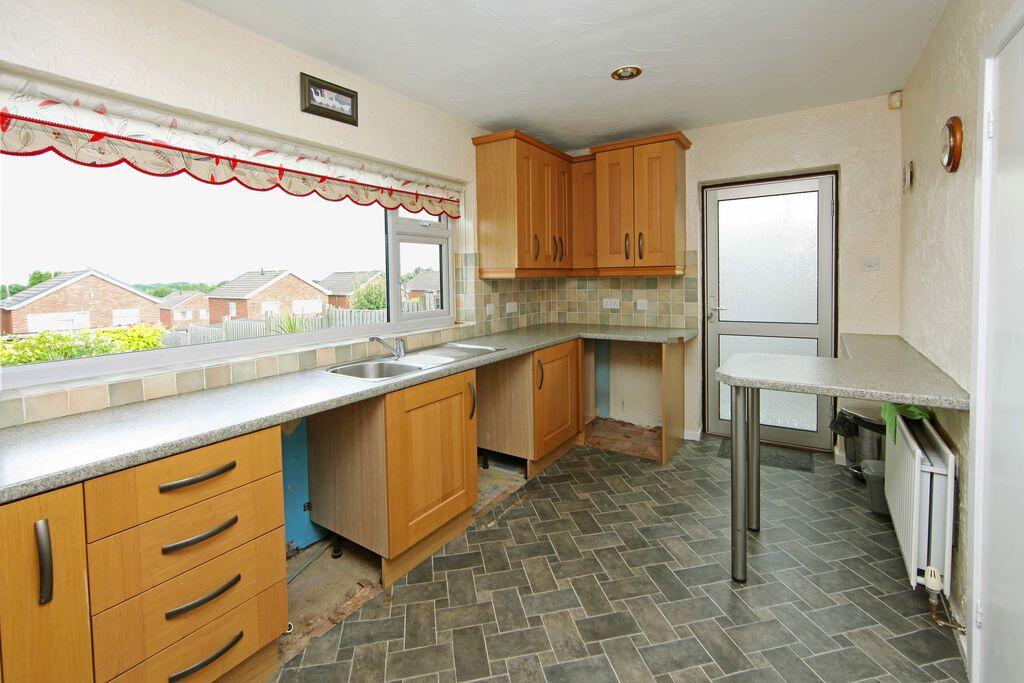
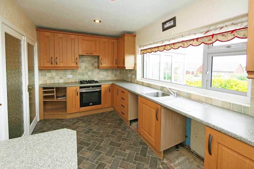
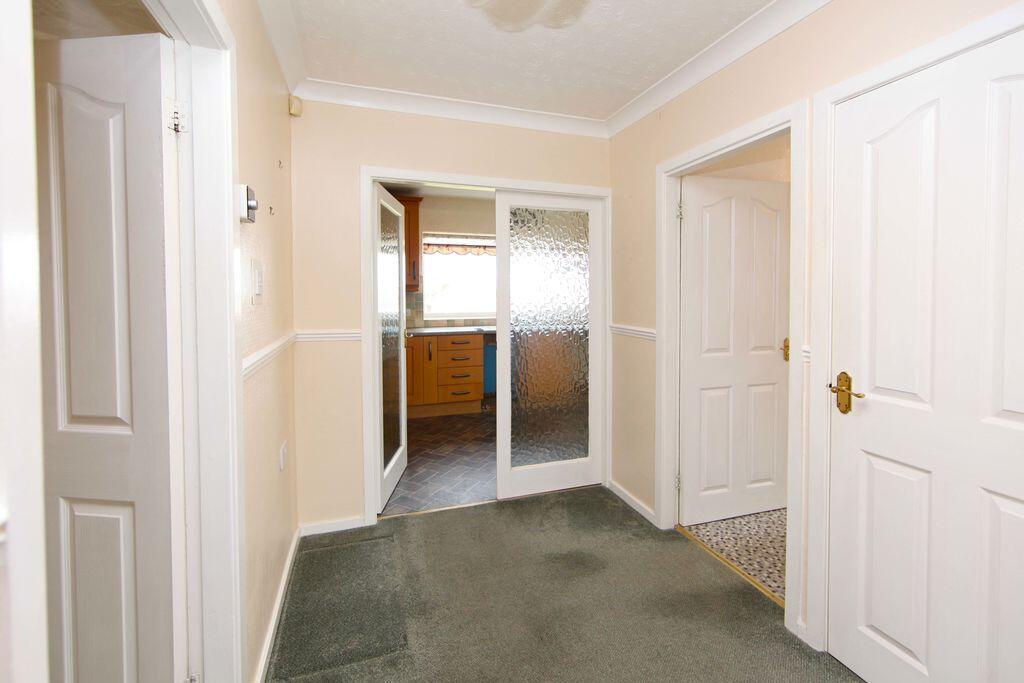
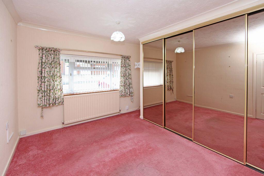
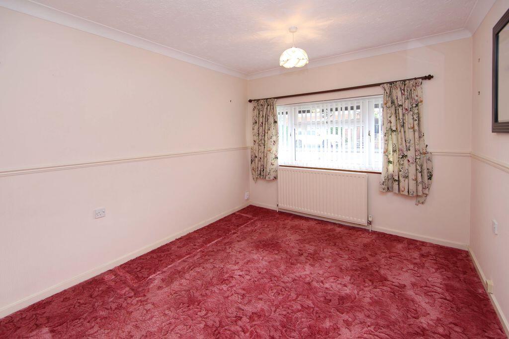
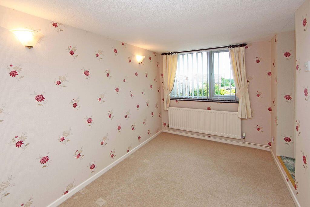
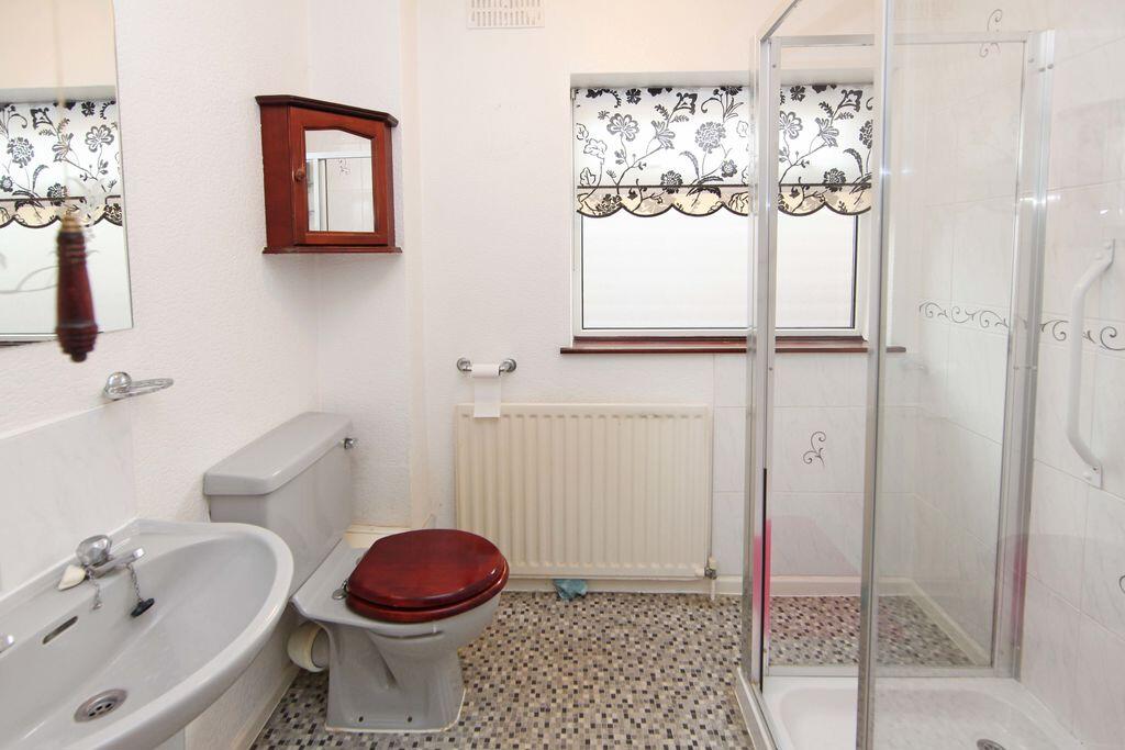
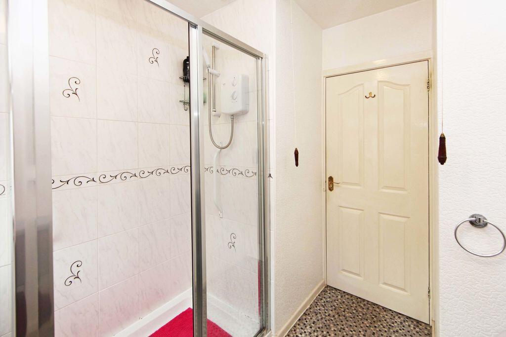
Property details
Tenure
FREEHOLD
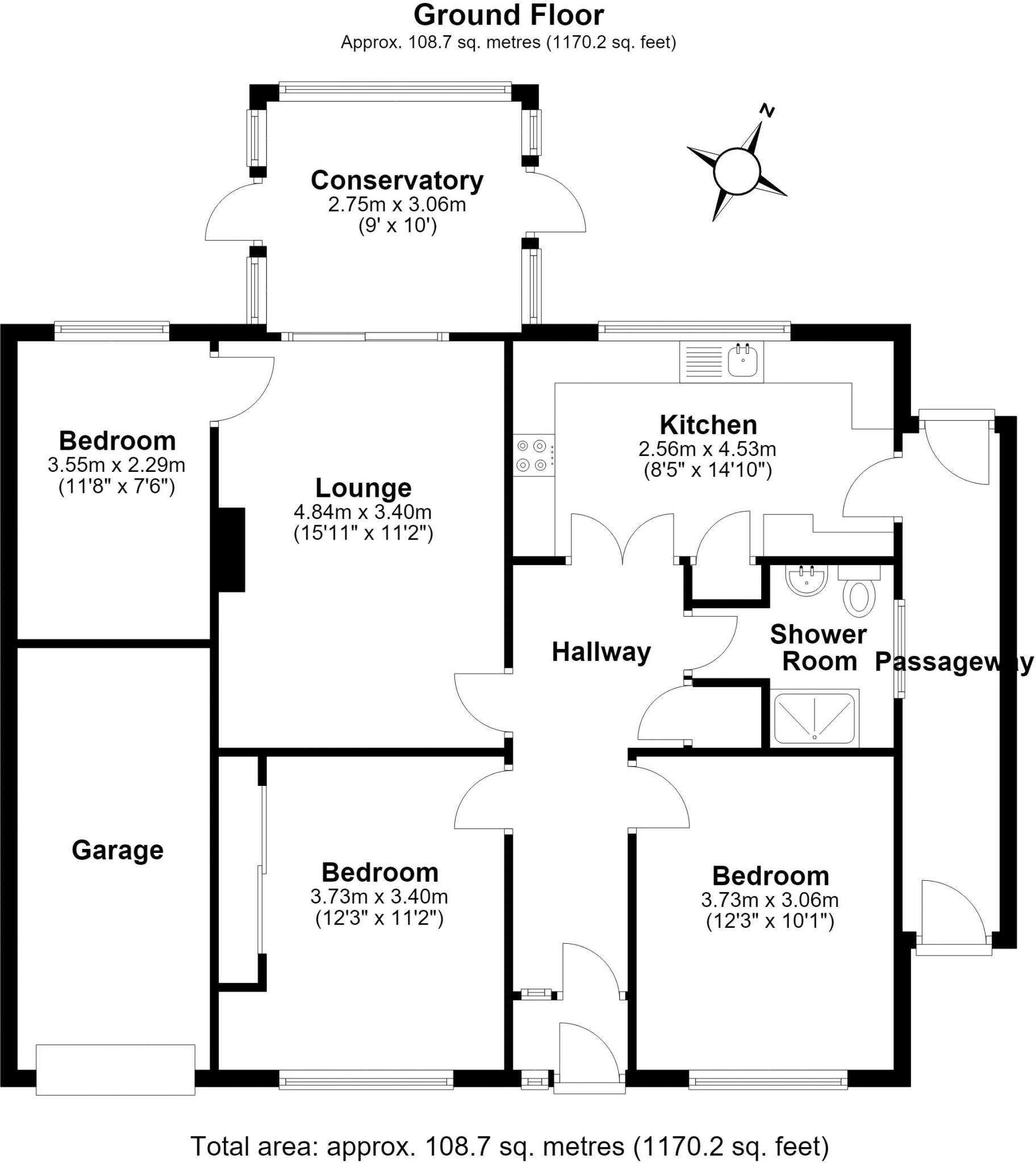
Floor area
78 m²
Council tax band
C
EPC rating
D
Year built
England and Wales: 1967-1975
Last sold
£176,995 Sep 2007
Price per m²
£3,333/m²
Local average
£334,148 (-22.2%)
Deprivation
Decile 7 (21,049 of 33,755)
Street crime
141 incidents within 1 mile (Aug 2026)
Additional details
- Parking
- Yes
- Garden
- Yes
Description
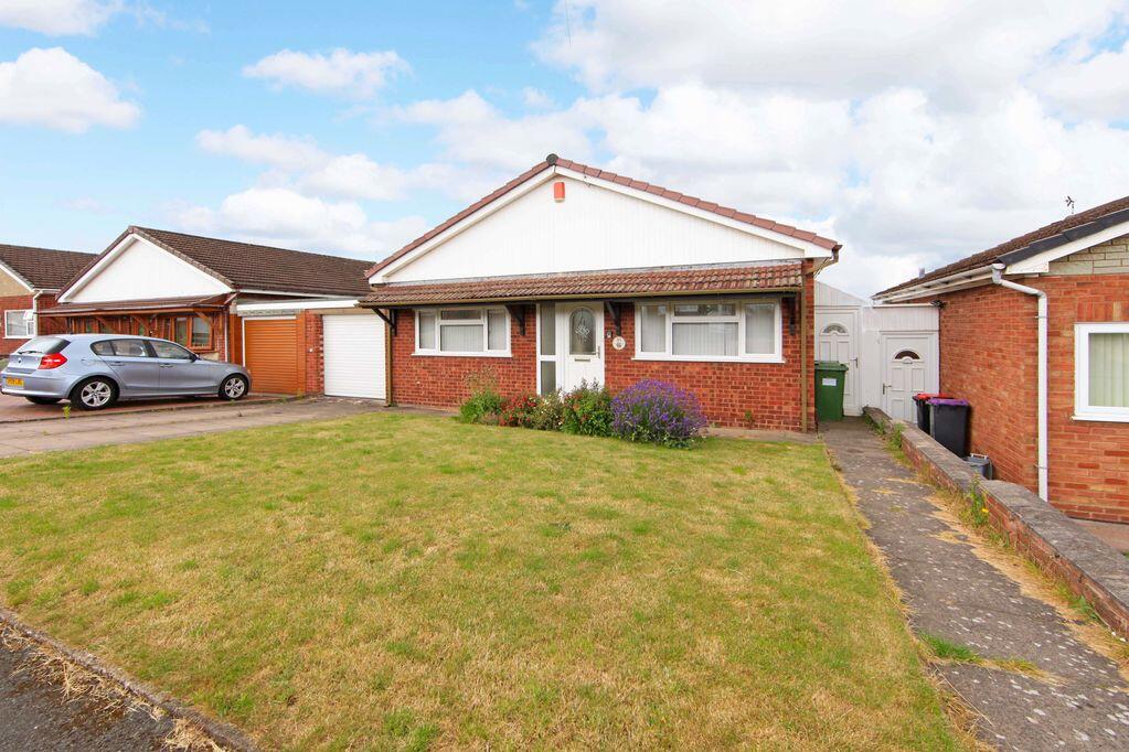
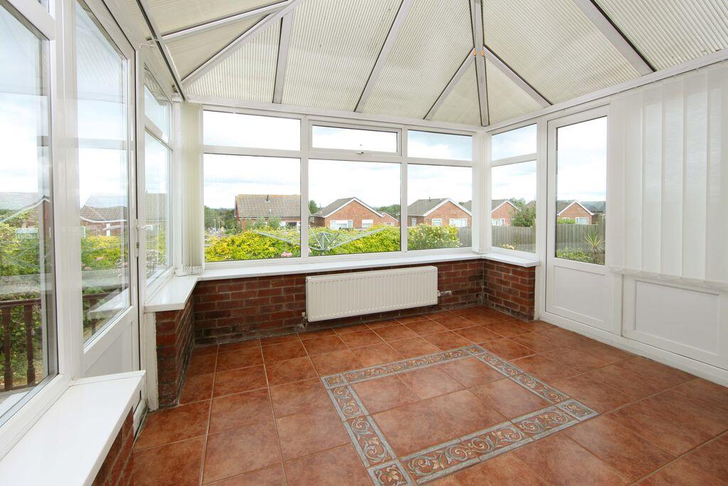
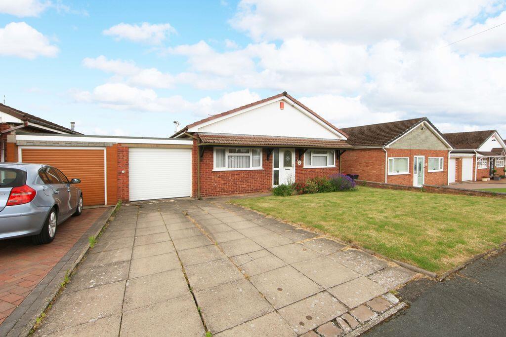
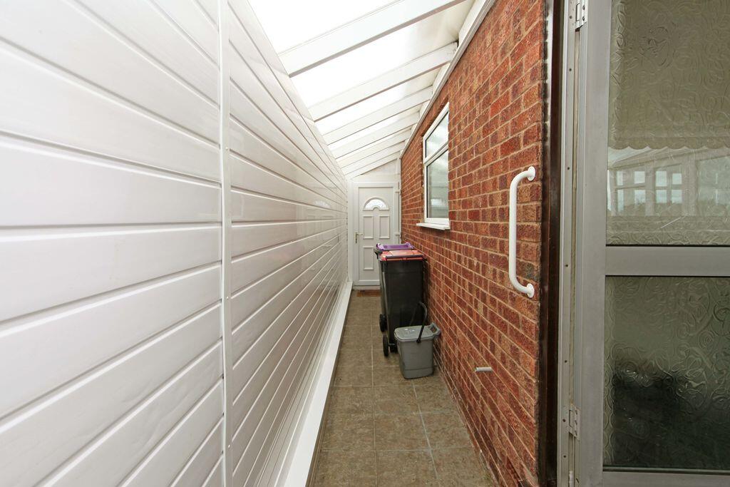
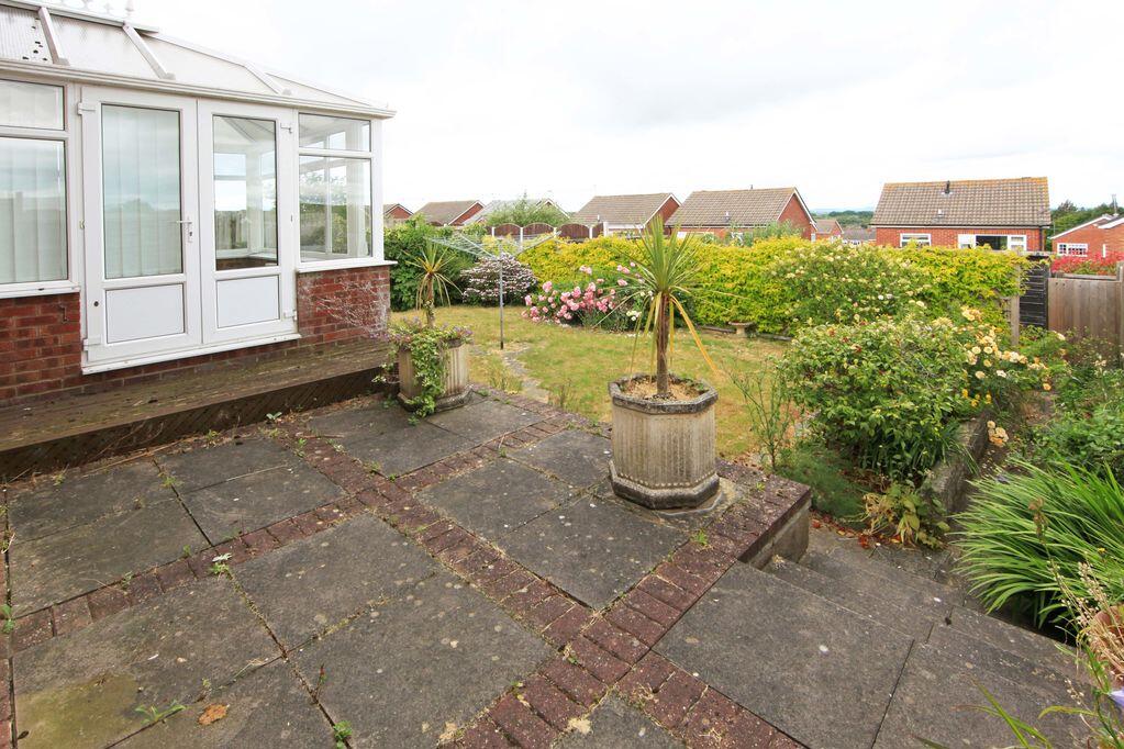
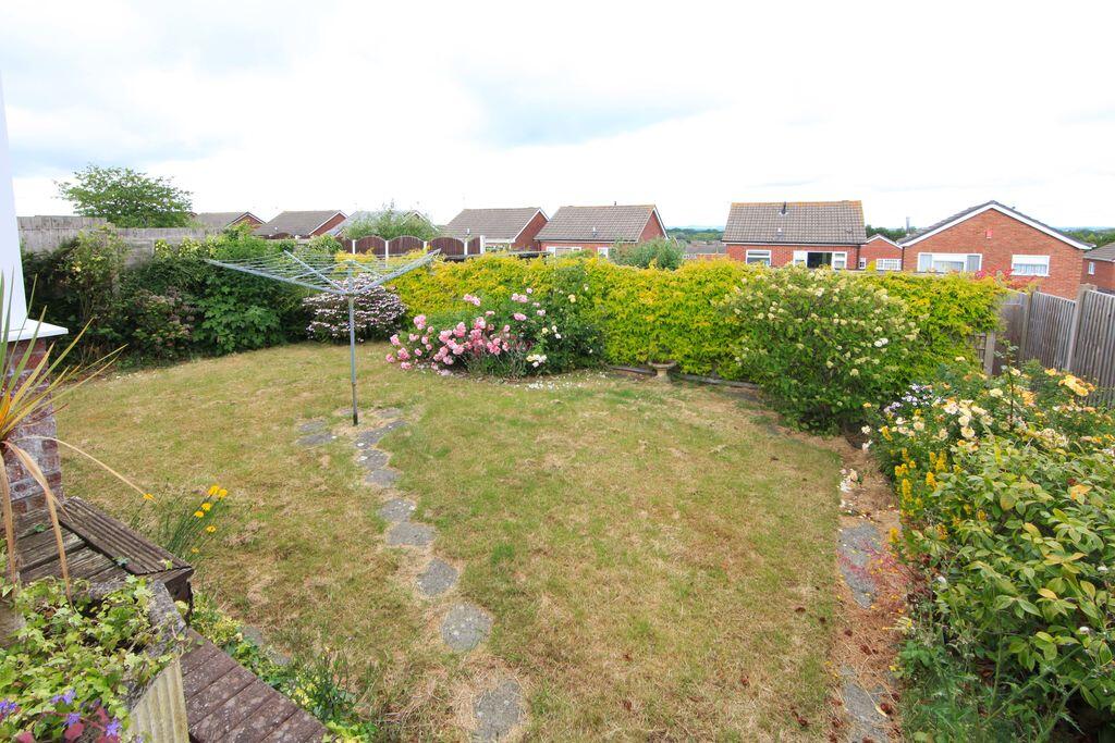
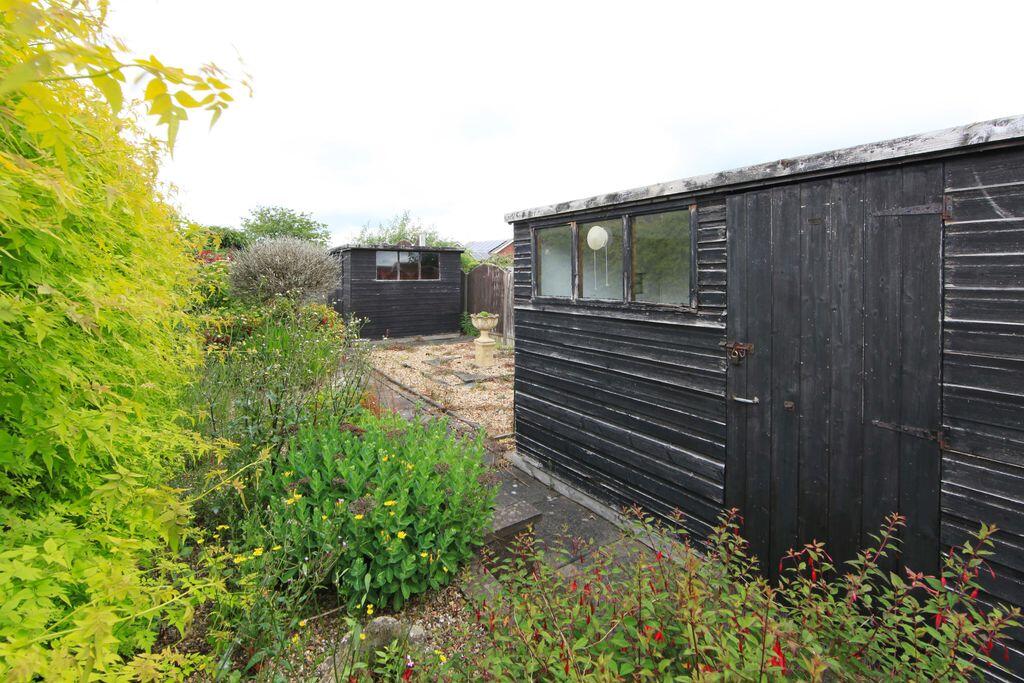
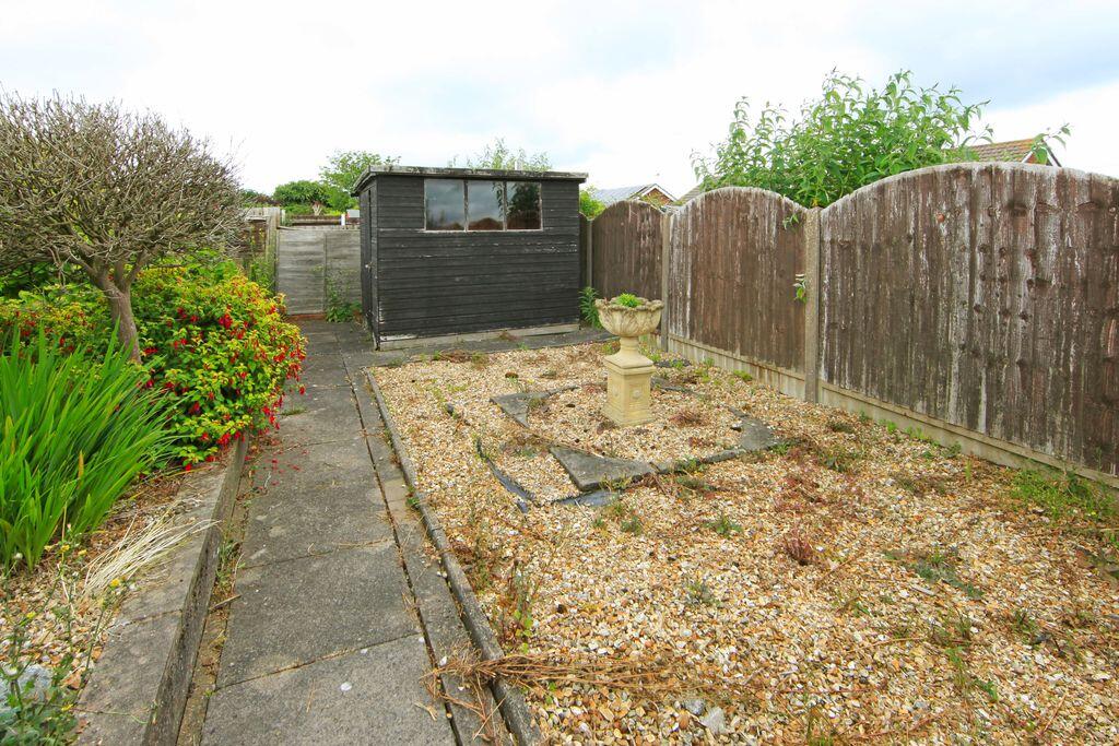
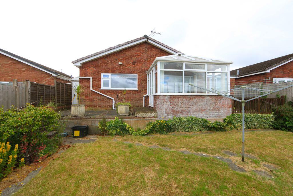
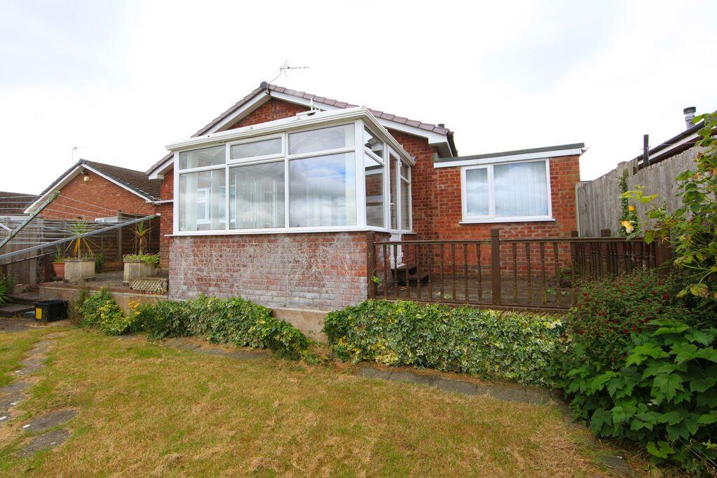
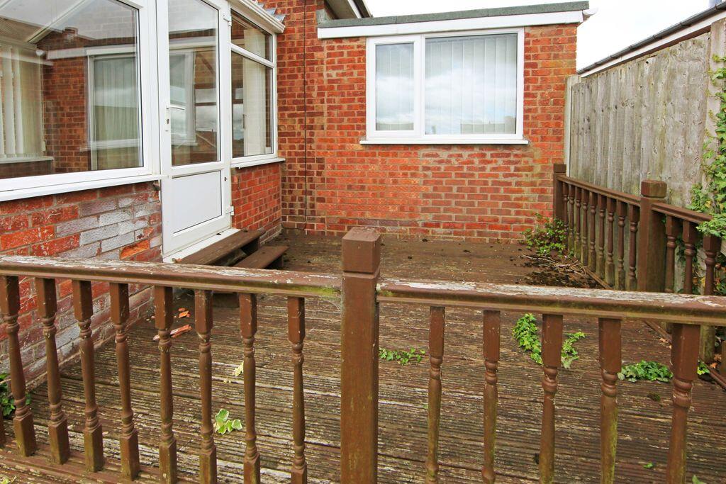
There are gardens to both the front and rear, providing useful outdoor space with plenty of scope to personalise. The frontage includes driveway parking and access to the garage, adding further convenience. Set within a well-established residential area, the property offers a practical base with everyday amenities close at hand.
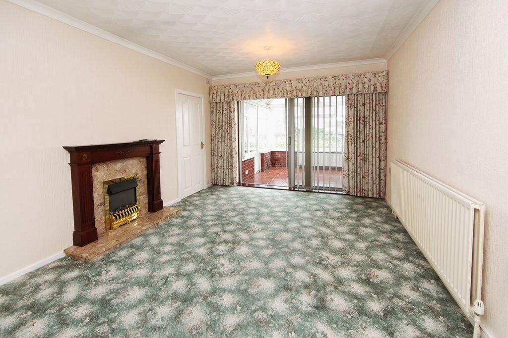
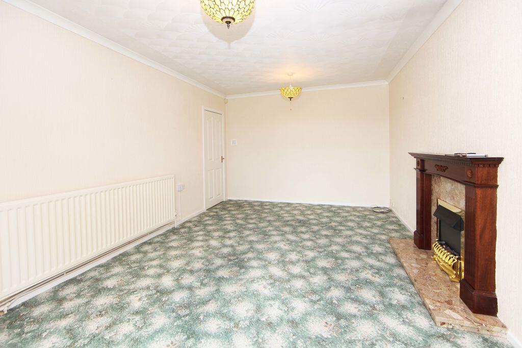
A home with excellent potential in a calm, tucked-away position — ideal for buyers looking to make a place their own.
Listed by
Broseley
Harwood Shropshire Ltd
Reference: 90034941
EPC Rating & Upgrade Cost
Current rating: D
Potential rating: C
Inspection date: 17/06/2026
Expiry date: 16/06/2036
Est. upgrade cost to C: £17,550
Recommendations
- Increase loft insulation to 270 mm (£900 - £1,200)
- Floor insulation (suspended floor) (£5,000 - £10,000)
- Solar photovoltaic panels, 2.5 kWp (£8,000 - £10,000)
Flood risk
Zone: 1
Risk: Low
Job (default Low)
Registered land (INSPIRE)
This location is outside the imported HM Land Registry INSPIRE registered freehold polygons.
Source: HM Land Registry INSPIRE Index Polygons.
Floorplans
Floorplan 1
EPC Graphs

Energy Performance Certificate
FENSA Certificates
This property has 1 FENSA certificate(s) on record, indicating window/door installations by FENSA-approved installers.
FENSA Certificate #8982638
Property Details
Street: 10 St. Michaels Drive
Town: Trench
Postcode: TF2 7HR
Installation Details
Items: 2 windows and 1 door
Certificate Issued: 23/07/2012
Work Completed: 10/07/2012
This certificate data was retrieved from FENSA's database
What is FENSA? FENSA (Fenestration Self-Assessment Scheme) is a government-authorised scheme that monitors building regulation compliance for replacement windows and doors. Certificates indicate that work was completed by FENSA-approved installers.
Price history
| Event | Date | Price | % change |
|---|---|---|---|
| Listed for sale | — | £259,950 | +46.9% |
| Sold | 13/09/2007 (19 years ago) | £176,995 | — |
Source: HM Land Registry Price Paid Data. Crown copyright.
Sold Comparables
Same street and nearby sales within 0.25 miles (last 5 years). Data from Land Registry Price Paid.
| Address | Price | Date | Type |
|---|---|---|---|
| 33 KINGSTON ROAD, TRENCH, TELFORD, WREKIN, TF2 7HT | £262,000 | 21/03/2025 | Detached |
| 2 ST JOHNS DRIVE, TRENCH, TELFORD, WREKIN, TF2 7HS | £247,500 | 24/08/2022 | Detached |
| 1 ST MICHAELS DRIVE, TRENCH, TELFORD, WREKIN, TF2 7HR | £205,000 | 19/08/2022 | Detached |
| 38 RICHMOND AVENUE, TRENCH, TELFORD, WREKIN, TF2 7EF | £225,000 | 30/05/2022 | Detached |
Area average: £234,875 (4 sales)
Capital growth trend
Land Registry outcode average: last 12 months vs 5y and 10y ago (from sold prices).
House Price Index (HM Land Registry — official index, not sold-price averages): Telford and Wrekin. Series: Detached. As of July 2026.
Rental Range
Estimated market rent for Telford and Wrekin. Low = conservative, Realistic = average, Optimistic = best case.
Based on Local Authority from postcode lookup → Telford and Wrekin.
LHA (30th percentile) floor for Shropshire: £723/mo (Apr 2025 – Mar 2026)
Location
Nearby
Nearest stations, universities and amenities (distance from property).
| Type | Name | Distance |
|---|---|---|
| Bus stop | Unknown | 0.3 miles |
| Shop | One Stop | 0.3 miles |
| Shop | Betfred | 0.3 miles |
| Train station | Oakengates | 1.2 miles |
| Hospital | Shrewsbury & Telford Hospital NHS Trust Sterile Services Department (SSD) | 1.4 miles |
| Train station | Telford Central | 2.1 miles |
| University | Unknown | 2.2 miles |
| University | University Of Wolverhampton (Shropshire Campus) (Business School) | 2.2 miles |
| Hospital | Bickerstaff Endoscopy Unit | 2.4 miles |
Street-level crime
| Category | Count |
|---|---|
| Violence and sexual offences | 65 |
| Anti-social behaviour | 26 |
| Shoplifting | 14 |
| Criminal damage and arson | 10 |
| Public order | 8 |
| Other crime | 5 |
| Other theft | 4 |
| Vehicle crime | 4 |
| Drugs | 2 |
| Burglary | 1 |
| Possession of weapons | 1 |
| Robbery | 1 |
| Total incidents | 141 |
Within 1 mile during Aug 2026. Source: data.police.uk (England & Wales).
Schools nearby
Nearest open schools with Ofsted ratings (England). Closed schools are not shown. Data from Get Information about Schools and Ofsted.
| Name | Type | Distance | Ofsted |
|---|---|---|---|
| St Luke's Catholic Primary School | Primary | 0.2 miles | Good — 13 Nov 2014 |
| Wrockwardine Wood Church of England Junior School | Primary | 0.2 miles | Good — 23 Nov 2011 |
| Wrockwardine Wood Infant School and Nursery | Primary | 0.3 miles | Good — 6 Oct 2019 |
| New Road Academy | Secondary | 0.3 miles | Requires improvement — 24 May 2022 |
| Teagues Bridge Primary School | Primary | 0.3 miles | Requires improvement — 1 May 2024 |
Rental Comparables
Rental comparables data is not available for this property.
Rent-driven metrics
Based on Area rent estimate.
- Rent ratio — Monthly rent ÷ purchase price (1% rule). 1%+ = strong, 0.8–1% = okay, <0.8% = weak for cashflow.
- Max investor price — Rent ÷ 0.8%; the price at which rent would be 0.8% of price (Stoke-style target).
- Target investor price — Rent ÷ 1%; the price at which rent would be 1% of price (strong cashflow band).
- Gross yield — Annual rent as % of purchase price (no costs).