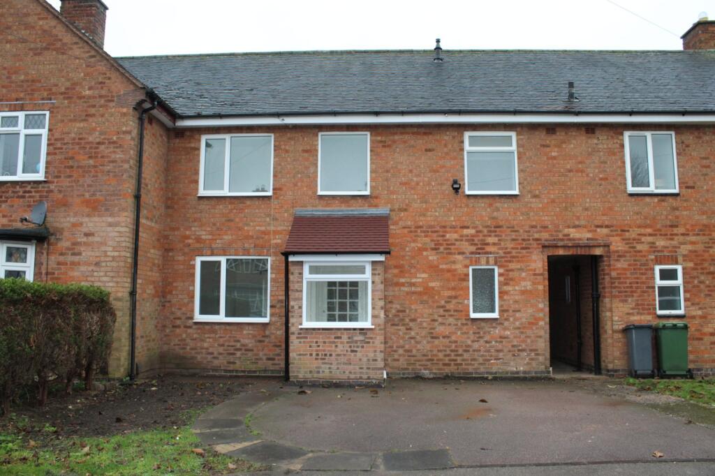
12 NEWLANDS ROAD
SOLIHULL, BENTLEY HEATH, WEST MIDLANDS B93 8AU
£1,375 pcm


Property details
Floor area
92 m²
Council tax band
C
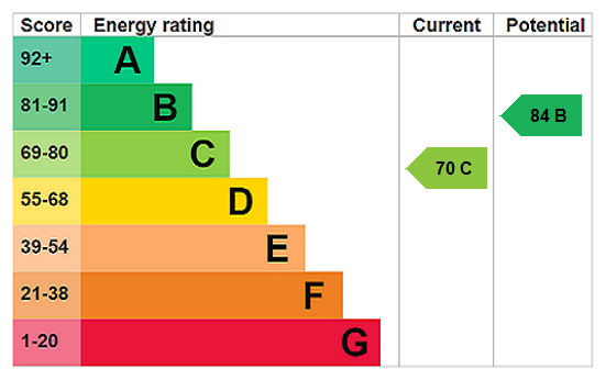
EPC rating
C
Year built
England and Wales: 1950-1966
Deprivation
Decile 6 (19,249 of 33,755)
Street crime
45 incidents within 1 mile (Apr 2026)
Additional details
- Parking
- Yes
- Garden
- Yes
Description
• Modern interior throughout
• Driveway Parking
• Available from 01.12.2025
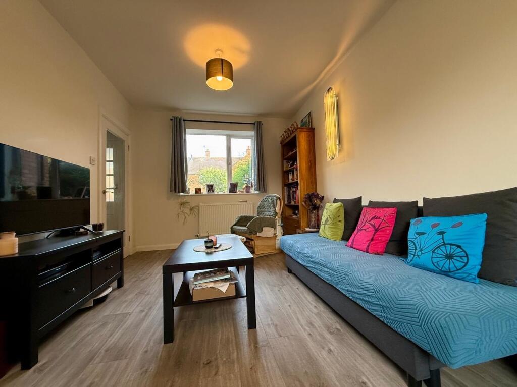
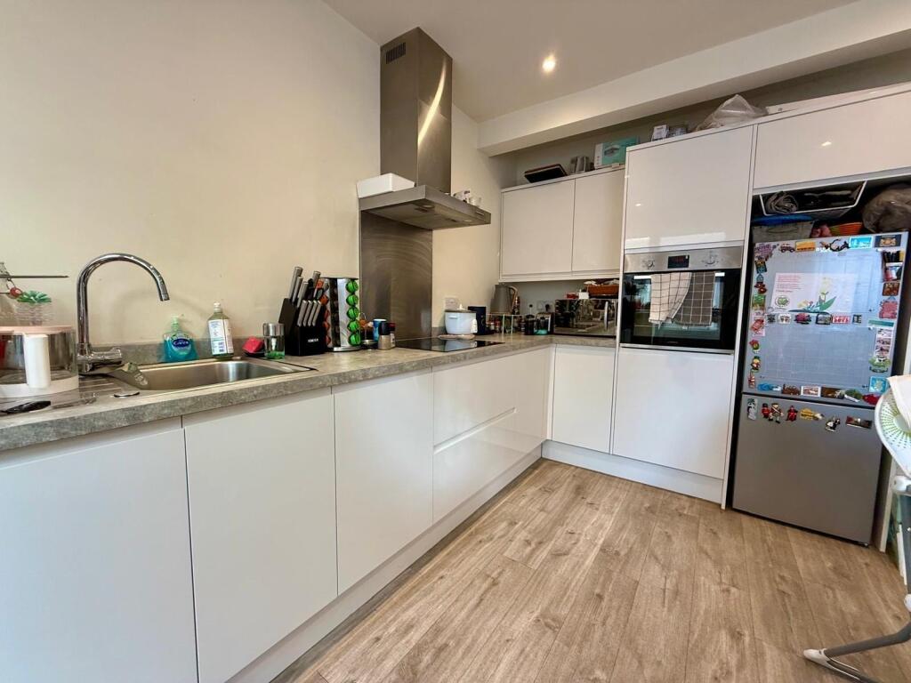
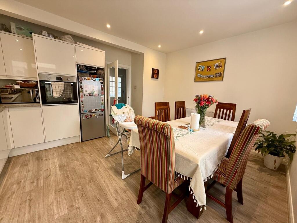
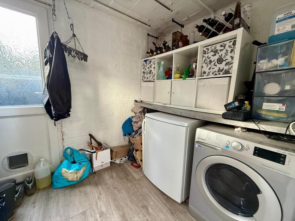
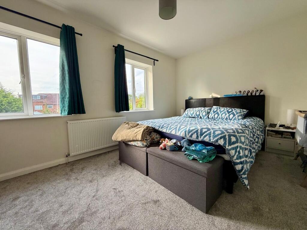
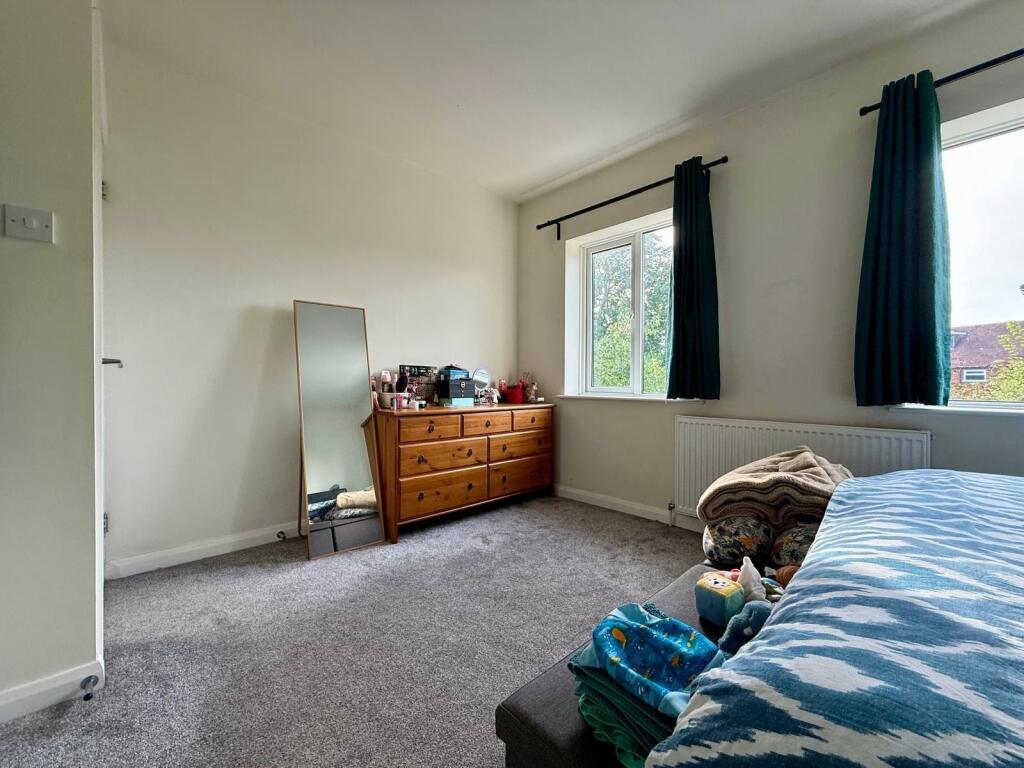
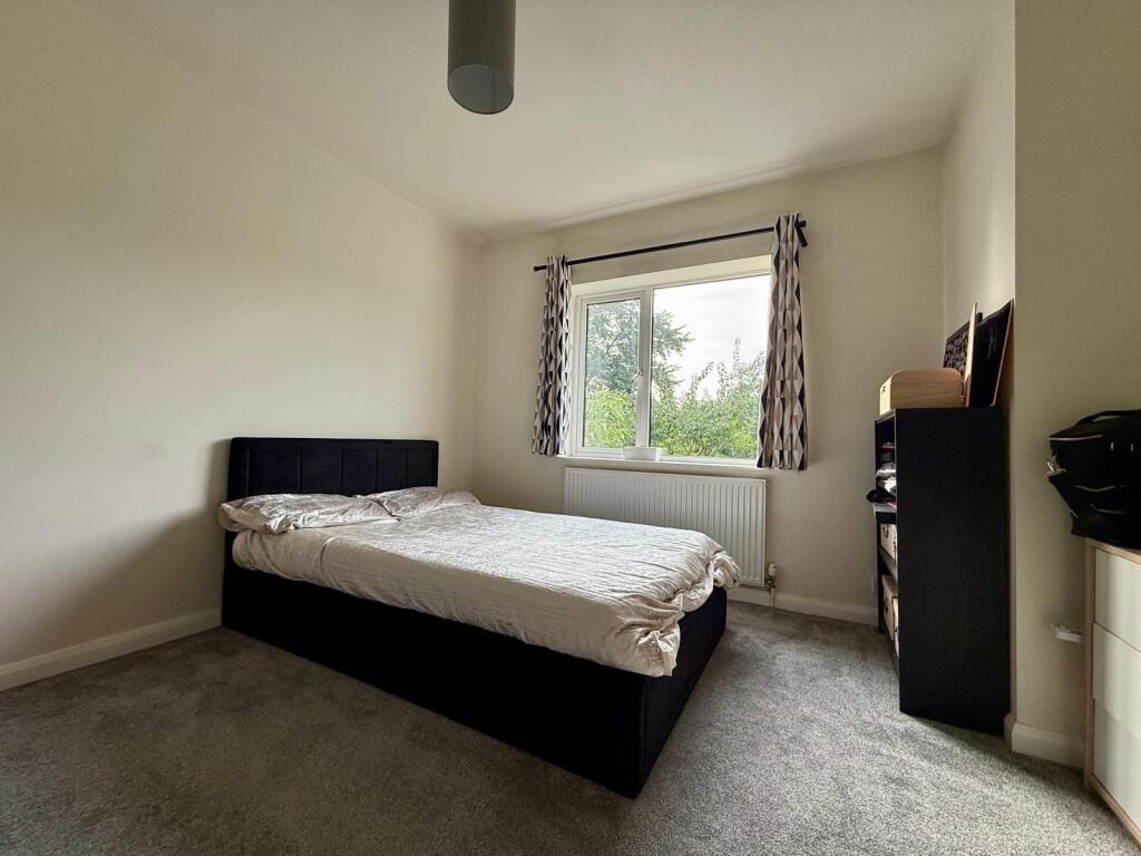
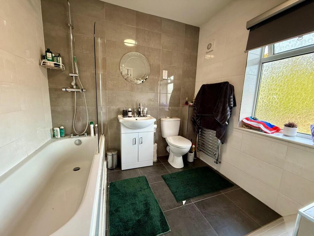
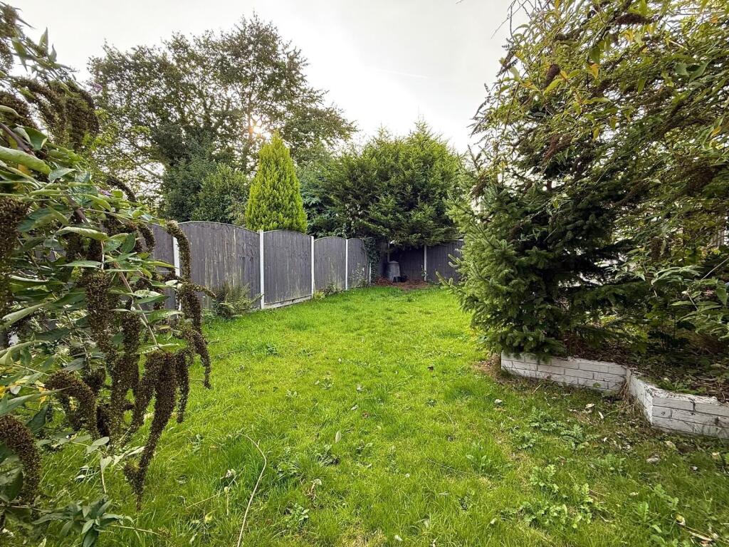
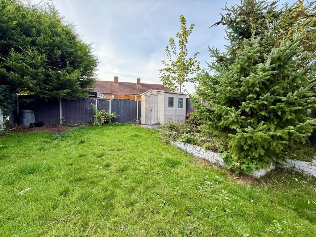
John Shepherd Lettings are delighted to offer this great 3 bedroom house, situated in Bentley Heath, Solihull, within close proximity of Solihull train station, shops and restaurants. The property offers driveway parking, and briefly comprises of; entrance hallway, modern shower room, open plan kitchen/dining room, two double bedrooms, and access to a large garden.
• Council tax band – C (Solihull MBC)
• EPC Rating - B
Benefits of letting through John Shepherd
• Online application process
• Tenants insurance products available
• Secure online payments
• No Deposit Option available - where specified above
• Online property maintenance platform
• Fully staffed high street branches
Listed by
Solihull
The Lomond Group
Reference: 167868659
EPC Rating & Upgrade Cost
Current rating: C
Potential rating: B
Inspection date: 05/02/2024
Expiry date: 04/02/2034
Est. upgrade cost to C: £14,900
Recommendations
- Floor insulation (solid floor) (£4,000 - £6,000)
- Upgrade heating controls (£350 - £450)
- Solar water heating (£4,000 - £6,000)
- Solar photovoltaic panels, 2.5 kWp (£3,500 - £5,500)
Flood risk
Zone: 1
Risk: Low
Job (default Low)
EPC Graphs
EPC Rating Graph
Rental Range
Estimated market rent for Solihull. Low = conservative, Realistic = average, Optimistic = best case.
Based on Local Authority from postcode lookup → Solihull.
LHA (30th percentile) floor for Solihull: £997/mo (Apr 2025 – Mar 2026)
Location
Nearby
Nearest stations, universities and amenities (distance from property).
| Type | Name | Distance |
|---|---|---|
| Bus stop | Slater Rd / Hurst Green Rd | 0.0 miles |
| Shop | Studio Flooring | 0.4 miles |
| Shop | Enzo | 0.6 miles |
| Train station | Dorridge | 0.7 miles |
| Train station | Widney Manor | 1.2 miles |
| Hospital | Brian Oliver Centre | 6.3 miles |
| University | University of Birmingham School of Dentistry | 8.1 miles |
| University | Centre for Interdisciplinary Methodologies | 8.2 miles |
| Hospital | George Elliot Medical Centre | 10.9 miles |
Street-level crime
| Category | Count |
|---|---|
| Violence and sexual offences | 18 |
| Criminal damage and arson | 6 |
| Vehicle crime | 6 |
| Burglary | 5 |
| Anti-social behaviour | 3 |
| Other theft | 3 |
| Bicycle theft | 1 |
| Other crime | 1 |
| Public order | 1 |
| Shoplifting | 1 |
| Total incidents | 45 |
Within 1 mile during Apr 2026. Source: data.police.uk (England & Wales).
Schools nearby
Nearest open schools with Ofsted ratings (England). Closed schools are not shown. Data from Get Information about Schools and Ofsted.
| Name | Type | Distance | Ofsted |
|---|---|---|---|
| Bentley Heath Church of England Primary School | Primary | 0.3 miles | Good — 26 Sep 2023 |
| St George and St Teresa Catholic Primary School | Primary | 0.4 miles | Good — 2 May 2024 |
| Dorridge Primary School | Primary | 0.4 miles | — (Inspected (no overall grade)) |
| Arden | Secondary | 0.9 miles | Good — 21 Sep 2022 |
| Knowle Church of England Primary Academy | Primary | 1.2 miles | Good — 29 Nov 2023 |
Rental Comparables
Rental listings exist nearby, but none matched the 3-bedroom count for this property.