2 ROWAN DRIVE
LUTTERWORTH, LEICESTERSHIRE LE17 4SP
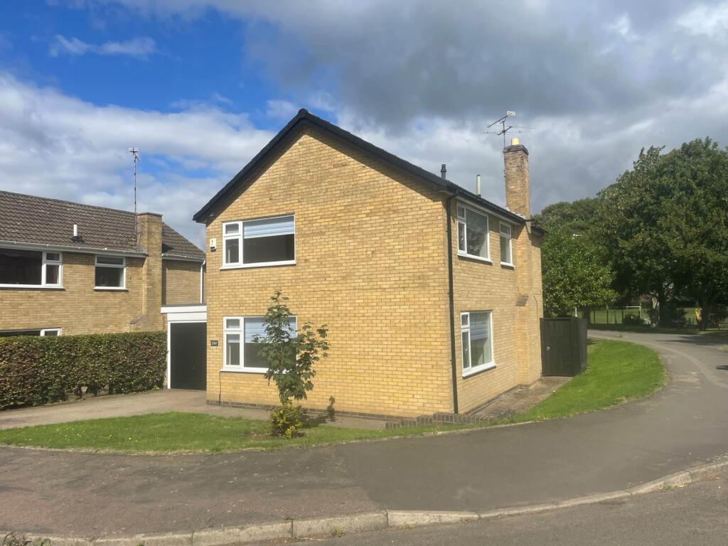
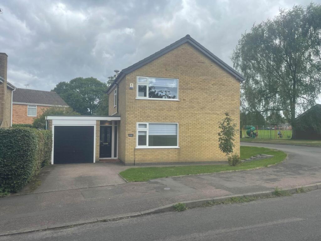
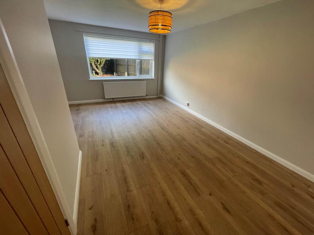
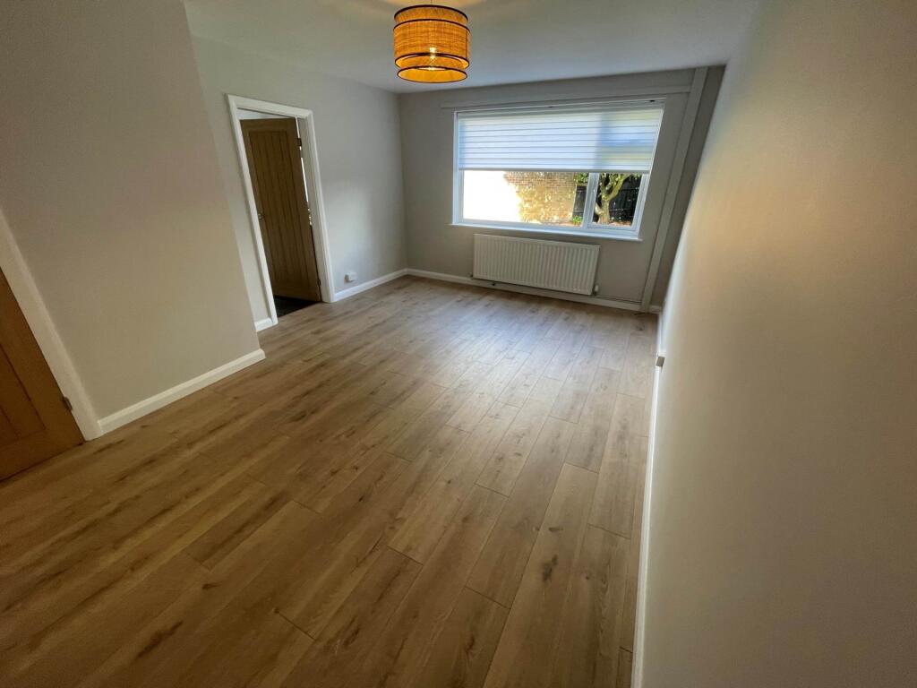
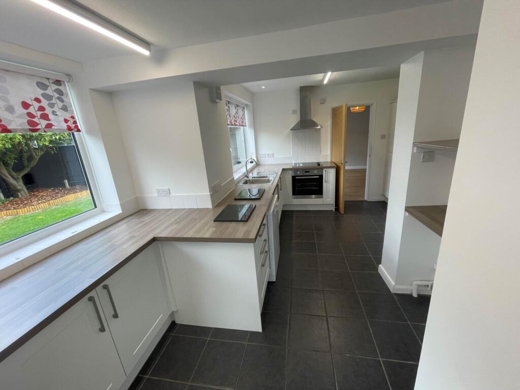
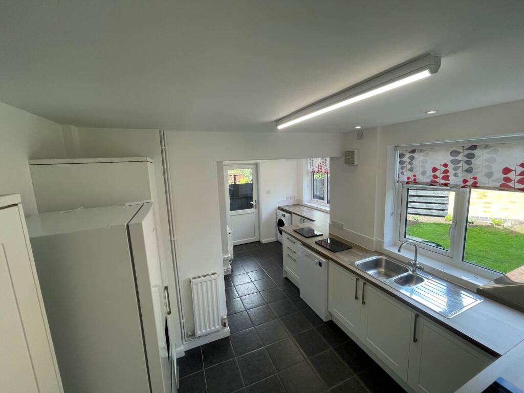
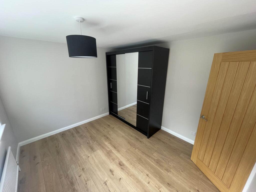
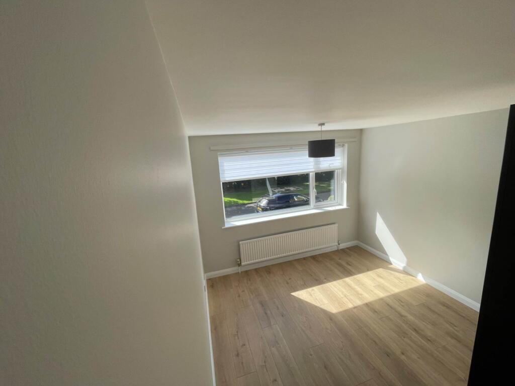
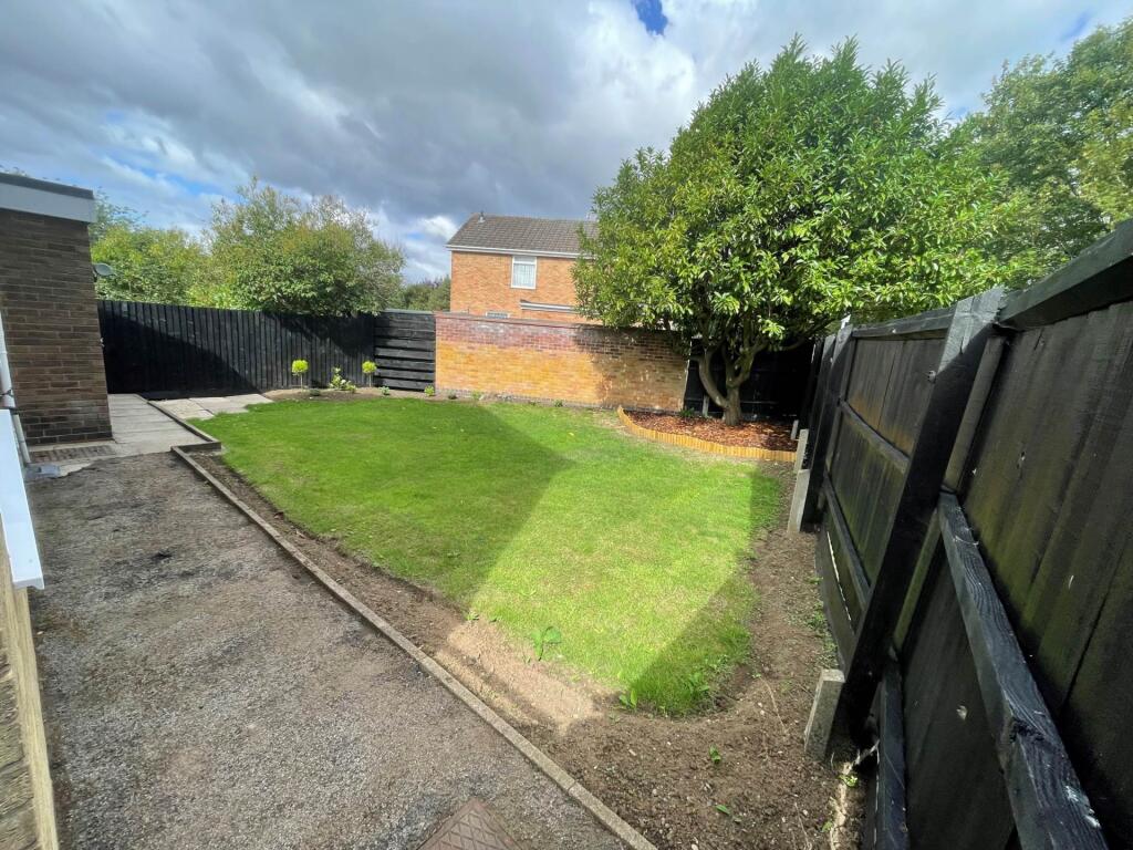
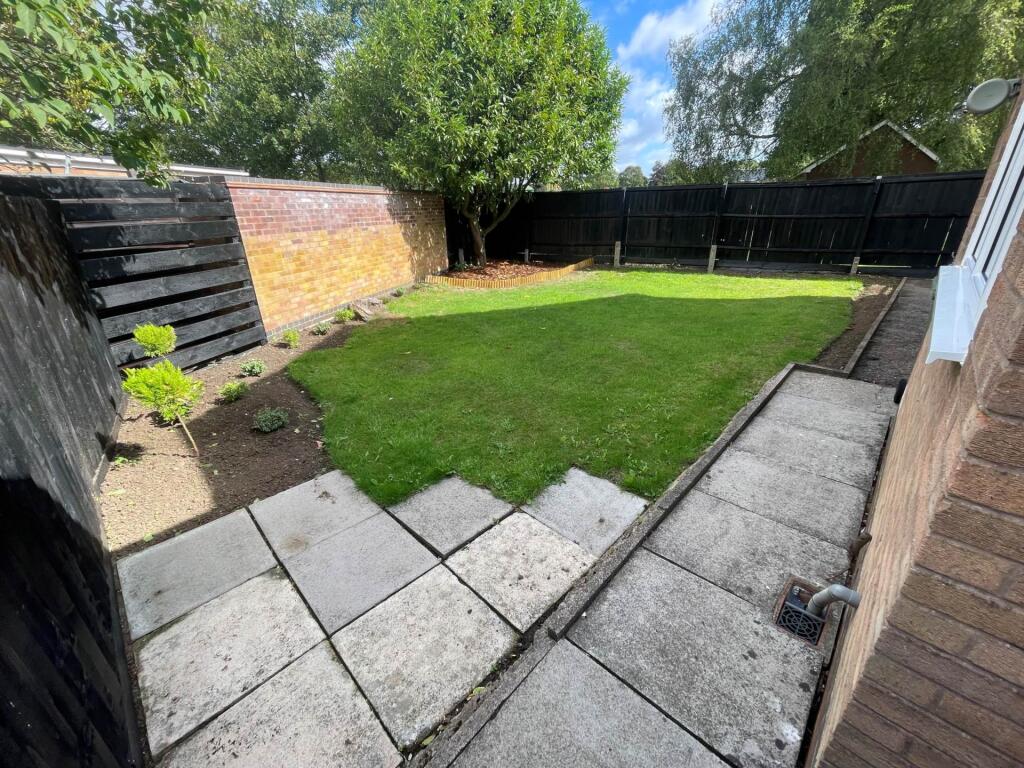
Photo 1 Photo 2 Photo 3 Photo 4 Photo 5 Photo 6 Photo 7 Photo 8 Photo 9 Photo 10 Photo 11 Photo 12 Photo 13 Photo 14 Photo 15
/ 15
Property details
Floor area
120 m²
Council tax band
D
Year built
England and Wales: 1950-1966
Deprivation
Decile 8 (23,793 of 33,755)
Street crime
52 incidents within 1 mile (Apr 2026)
Additional details
- Electricity
- Mains supply
- Water
- Mains supply
- Sewerage
- Mains supply
- Heating
- Double glazing, Gas central
- Parking
- Garage, Off street
- Garden
- Private garden
Description
Playroom/Office - 3.04m (10'0") x 3.01m (9'11")
Window to front elevation and blind.
Lounge - 5.01m (16'5") x 3.05m (10'0")
Window to rear elevation and blind.
Dining - 3.04m (10'0") x 3m (9'10")
Window side elevation and blind.
Kitchen - 5m (16'5") x 3m (9'10")
Fully fitted units with 1 1/2 bowl sink, oven hob and extractor. Fridge freezer, washing machine and dishwasher, windows to rear and door to garden.
Bedroom 1
With built in wardrobe and window front, blind.
Bedroom 2 - 3.04m (10'0") x 3.01m (9'11")
With built in wardrobe window side, blind.
Bedroom 3 - 3m (9'10") x 3m (9'10")
Window and blind rear.
Bedroom 4 - 3m (9'10") x 3m (9'10")
Window and blind rear.
Notice
All photographs are provided for guidance only.
Redress scheme provided by: Tenancy Deposit Scheme (G02952A)
Client Money Protection provided by: Property Mark Client Money Protection (C0006697)
Listed by
Ullesthorpe
Hornsby Properties Ltd
Reference: 165419033
EPC Rating & Upgrade Cost
Fetching EPC data… Refresh this page in a moment.
Flood risk
Zone: 1
Risk: Low
Job (default Low)
EPC Graphs
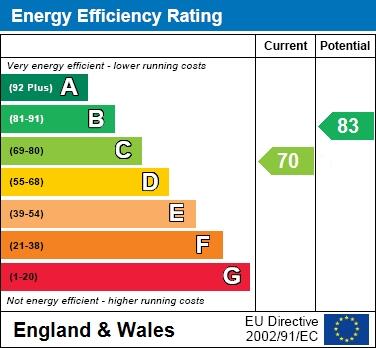
EPC 1
Rental Range
Estimated market rent for Harborough. Low = conservative, Realistic = average, Optimistic = best case.
Based on Local Authority from postcode lookup → Harborough.
LHA (30th percentile) floor for Rugby & East: £1,197/mo (Apr 2025 – Mar 2026)
Location
Nearby
Nearest stations, universities and amenities (distance from property).
| Type | Name | Distance |
|---|---|---|
| Shop | Linden Food Stores/ Off Licence | 0.1 miles |
| Shop | Eclispe Hair | 0.1 miles |
| Bus stop | St Marys Road | 0.1 miles |
| Hospital | Feilding Palmer Hospital | 0.5 miles |
| Train station | Rugby | 5.6 miles |
| Hospital | Hospital of St Cross | 6.7 miles |
| Train station | Narborough | 7.9 miles |
| University | University of Leicester | 11.2 miles |
Street-level crime
| Category | Count |
|---|---|
| Violence and sexual offences | 16 |
| Anti-social behaviour | 11 |
| Shoplifting | 8 |
| Public order | 6 |
| Other theft | 4 |
| Burglary | 2 |
| Vehicle crime | 2 |
| Criminal damage and arson | 1 |
| Other crime | 1 |
| Theft from the person | 1 |
| Total incidents | 52 |
Within 1 mile during Apr 2026. Source: data.police.uk (England & Wales).
Schools nearby
Nearest open schools with Ofsted ratings (England). Closed schools are not shown. Data from Get Information about Schools and Ofsted.
| Name | Type | Distance | Ofsted |
|---|---|---|---|
| Lutterworth College | Secondary | 0.3 miles | Good — 15 Dec 2017 |
| Lutterworth High School | Secondary | 0.3 miles | Good — 19 Mar 2024 |
| Sherrier Church of England Primary School | Primary | 0.3 miles | Good — 25 Nov 2016 |
| John Wycliffe Primary School | Primary | 0.4 miles | Good — 14 Jun 2023 |
| St Mary's Church of England Primary School, Bitteswell | Primary | 0.7 miles | Outstanding — 7 May 2013 |
Rental Comparables
Rental comparables are temporarily unavailable while listing-site fetches are paused. Try again later.