Kenwood Road
Stretford, M32 8PT
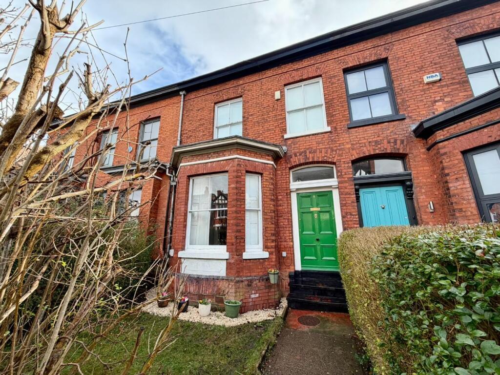
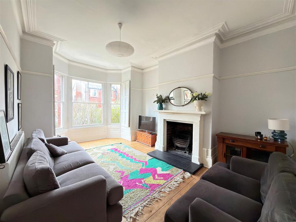
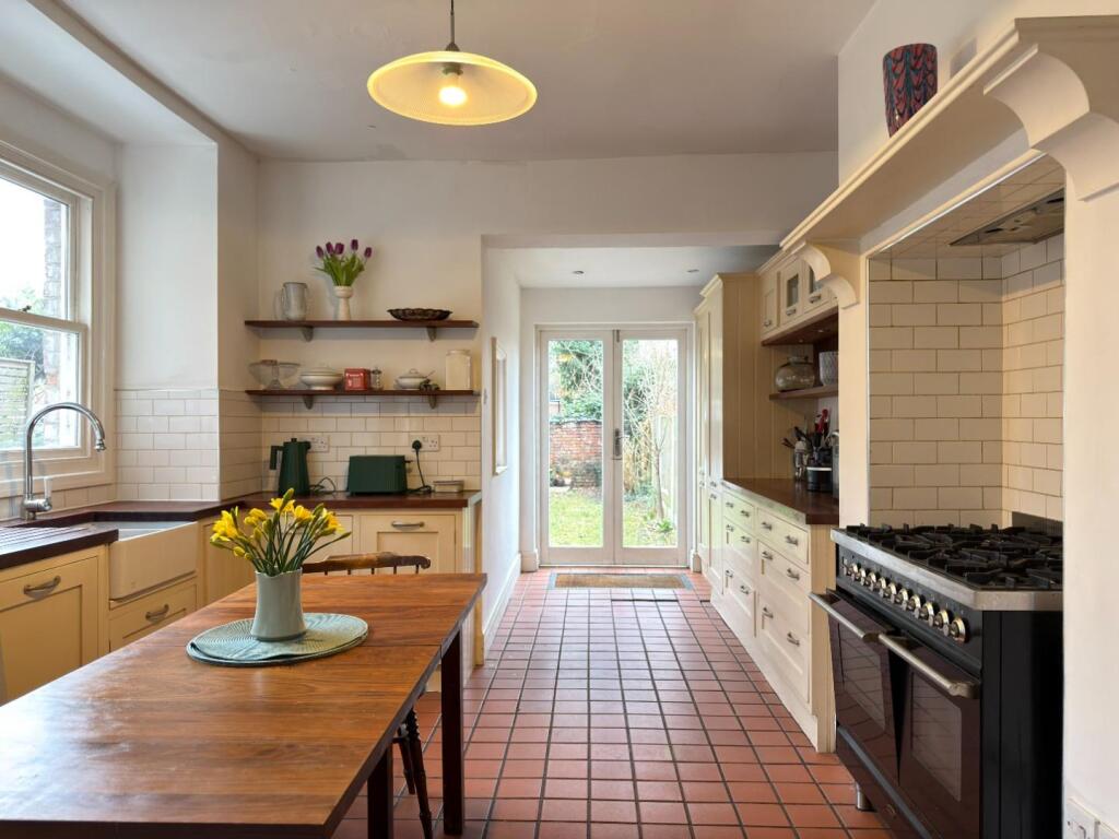
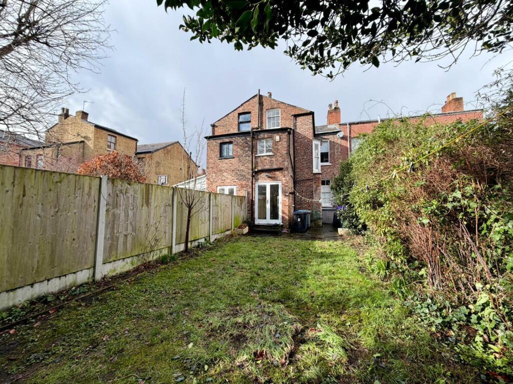
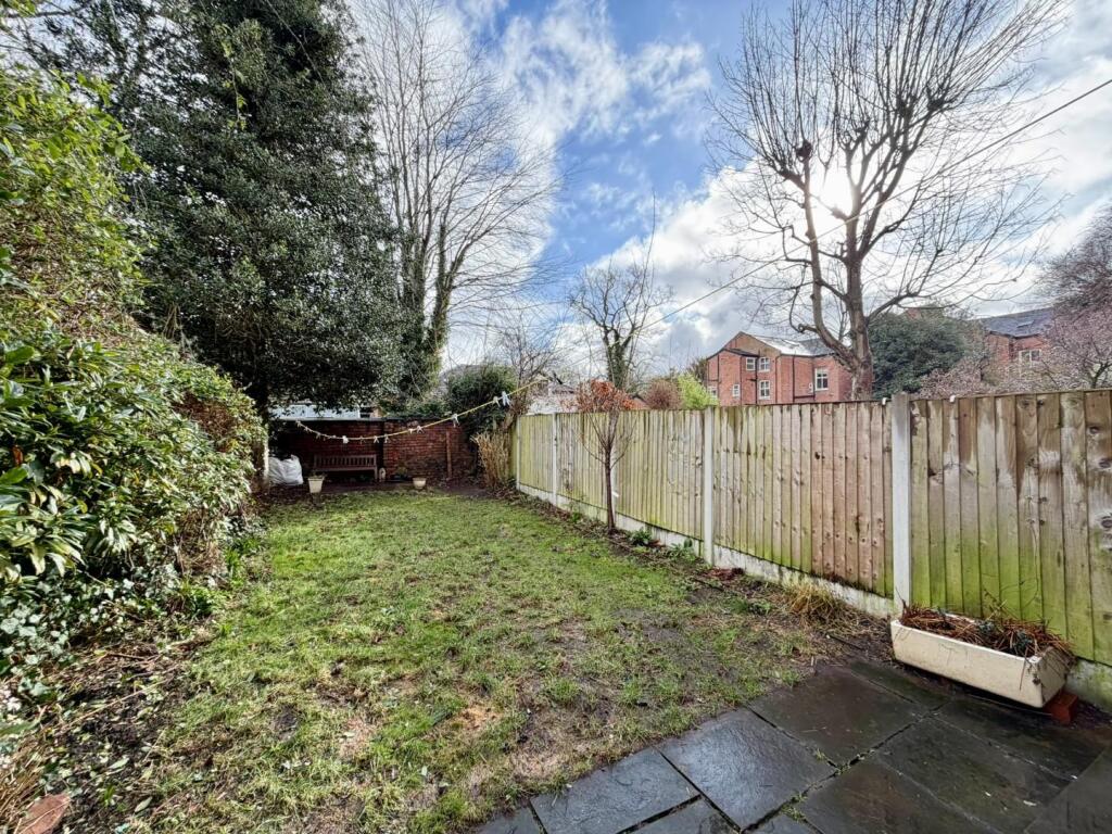
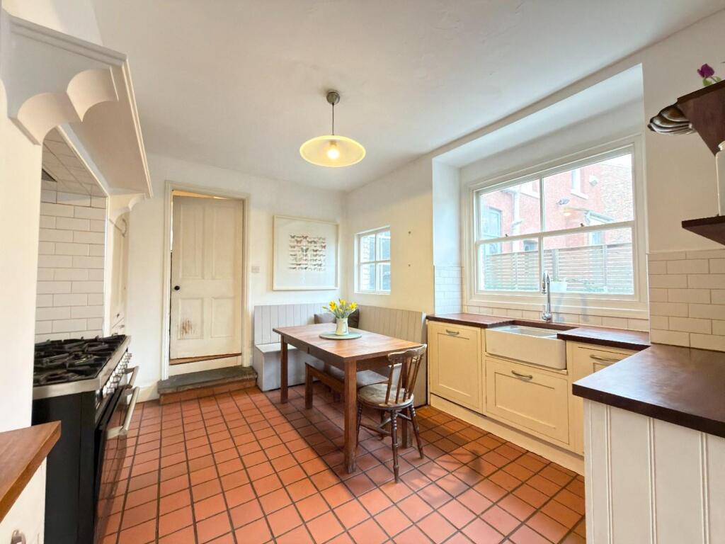
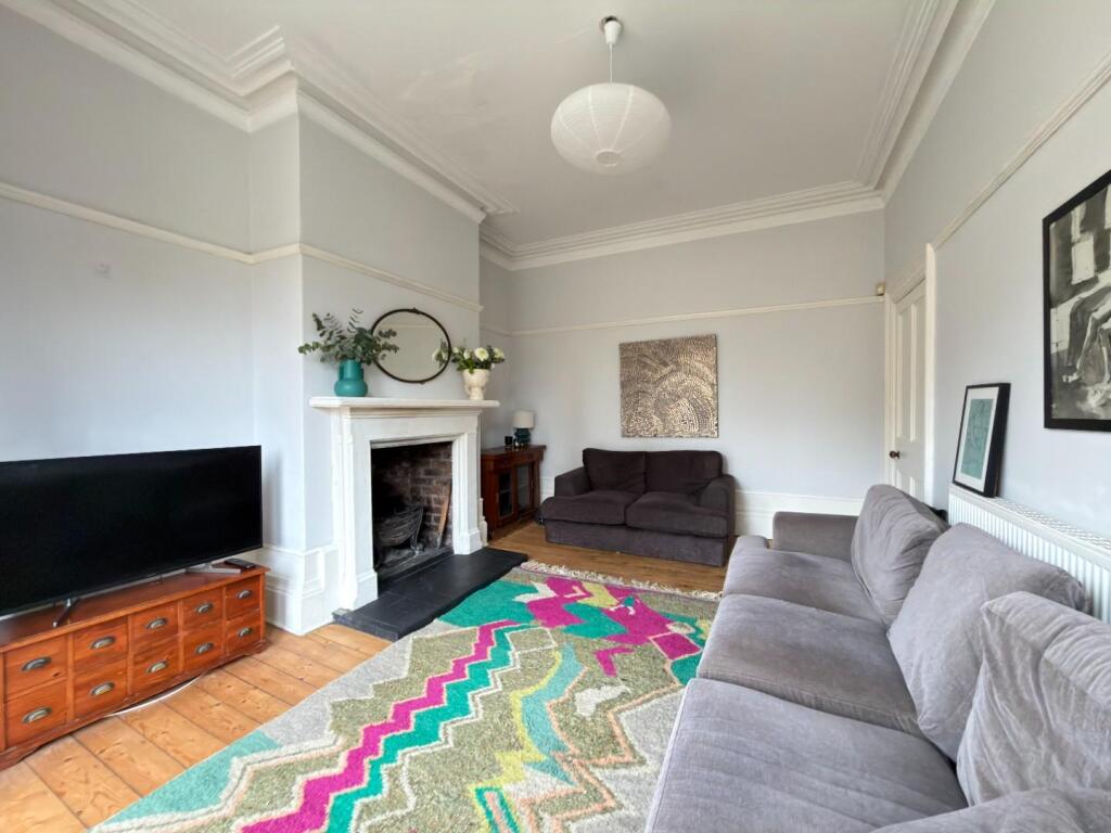
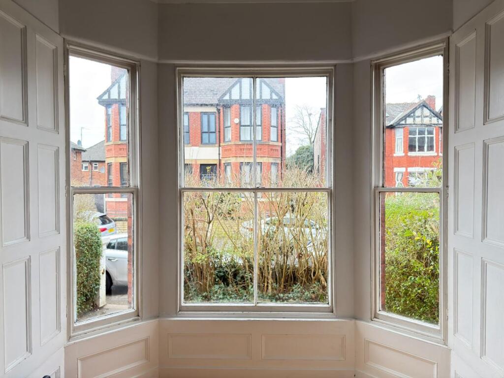
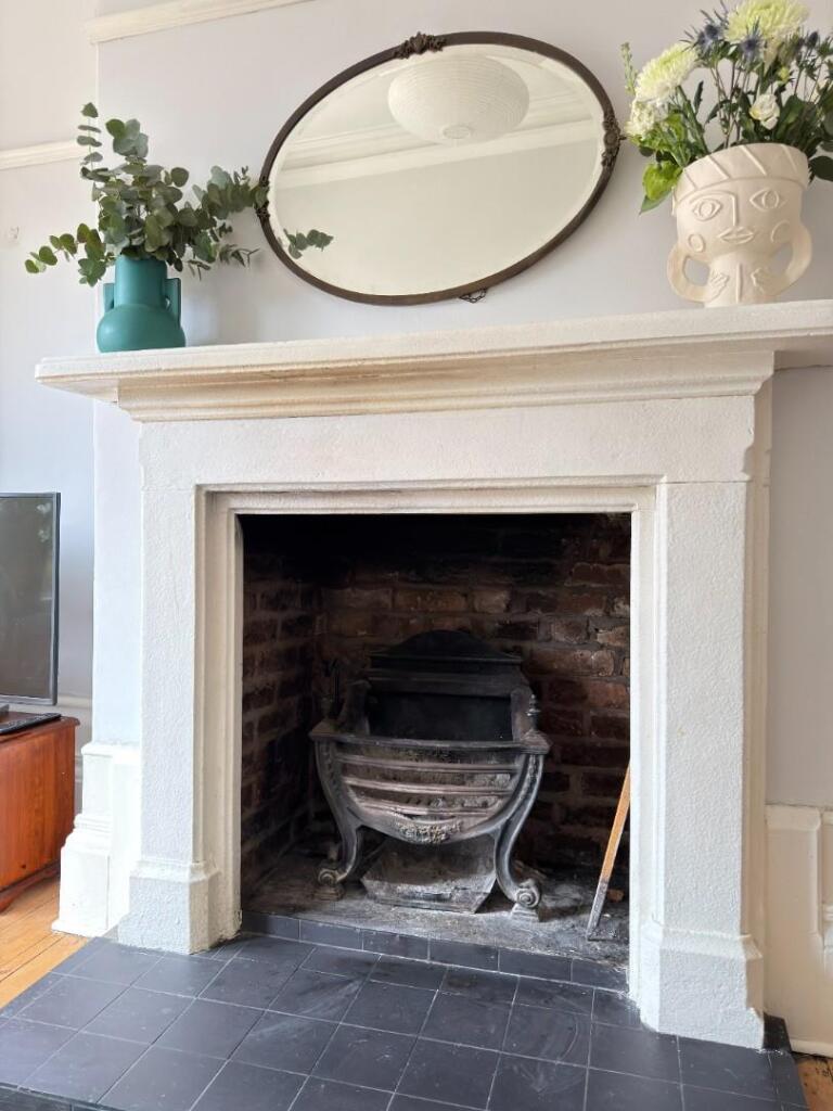
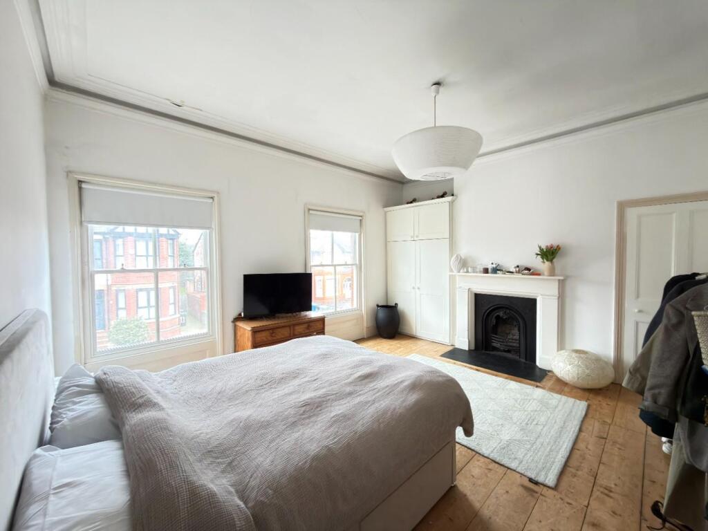
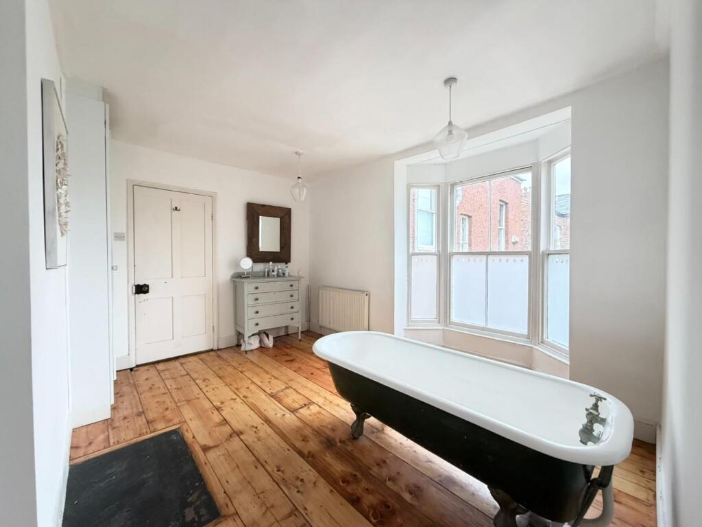
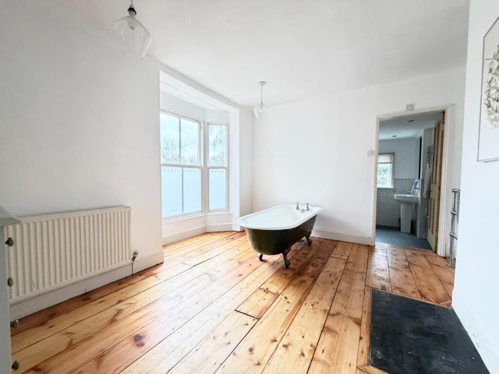
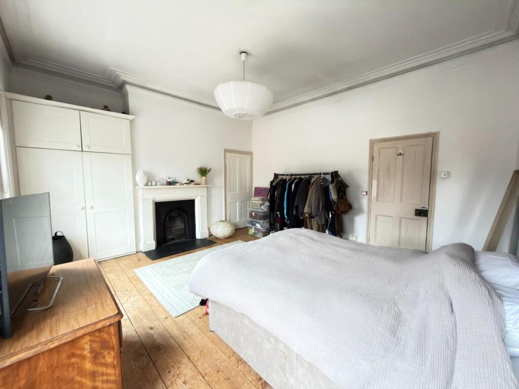
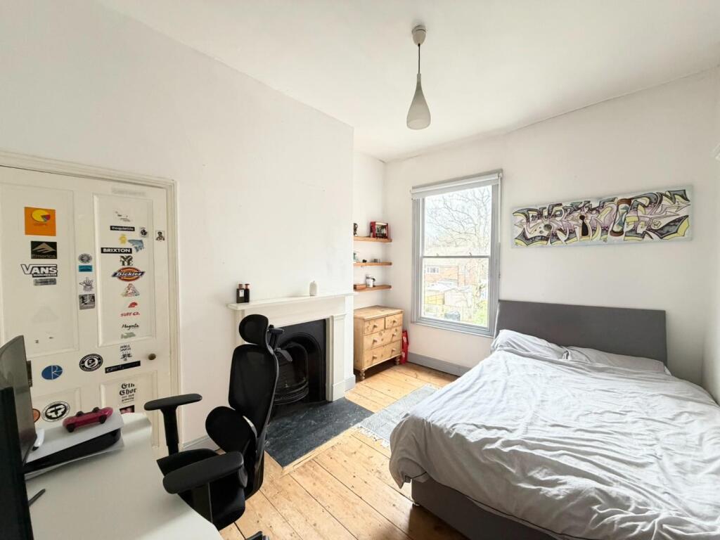
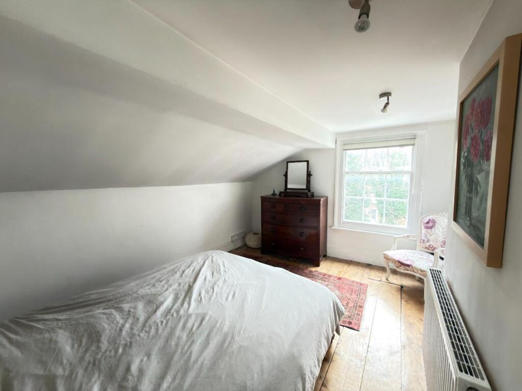
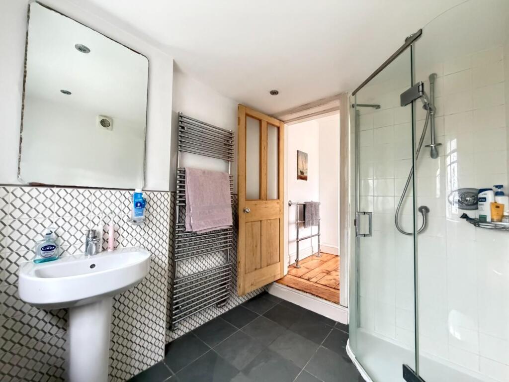
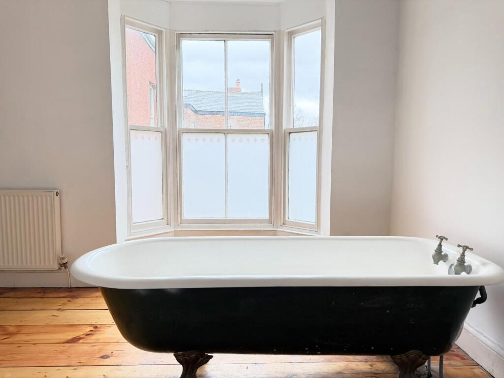
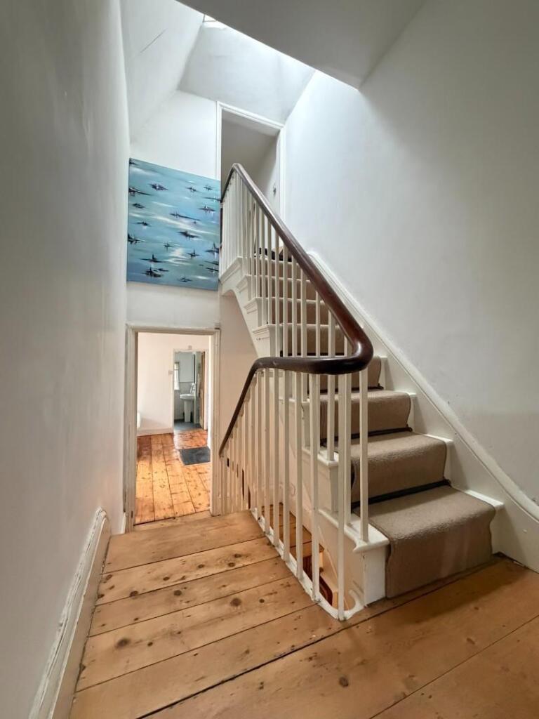
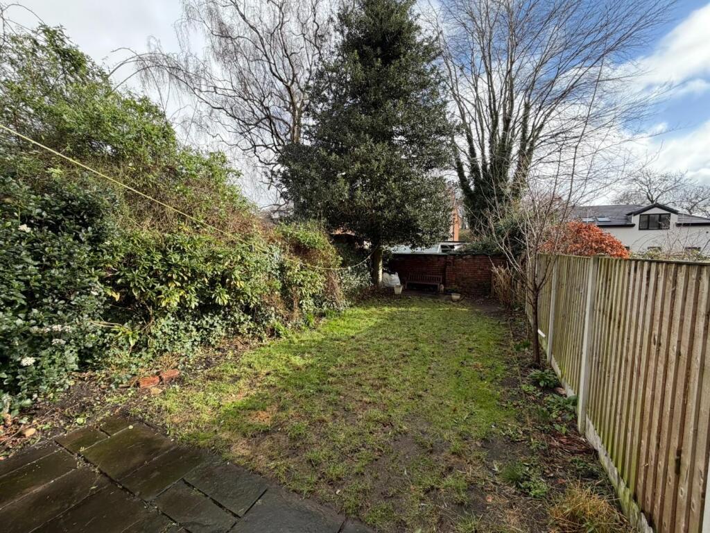
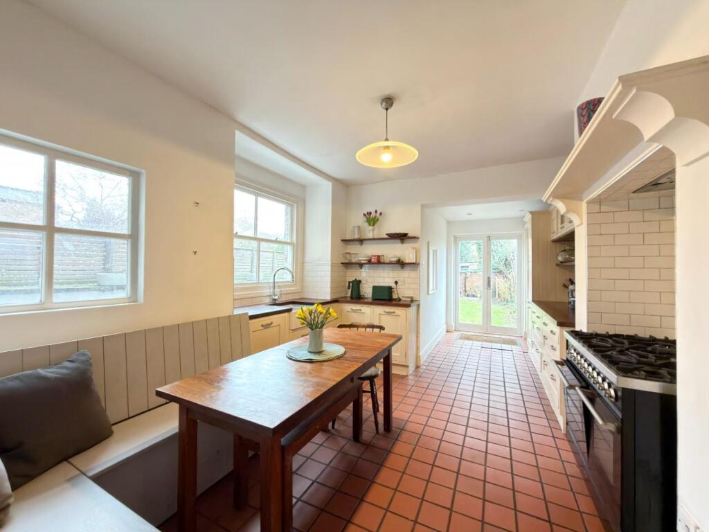
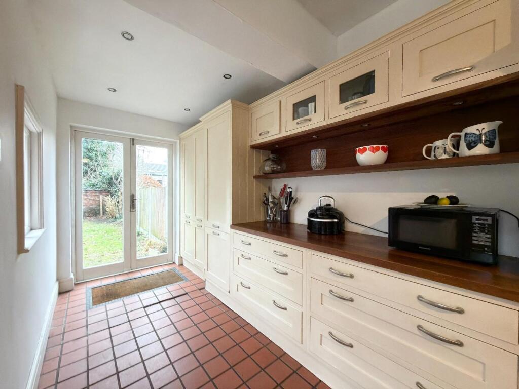
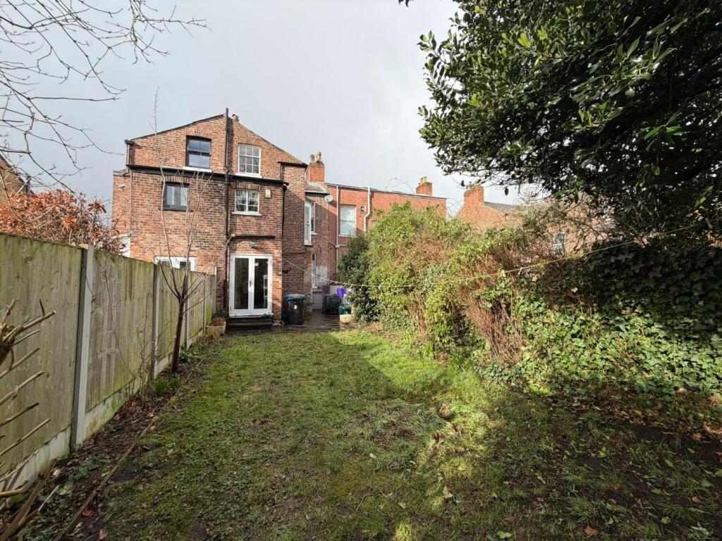
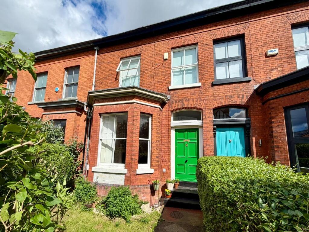
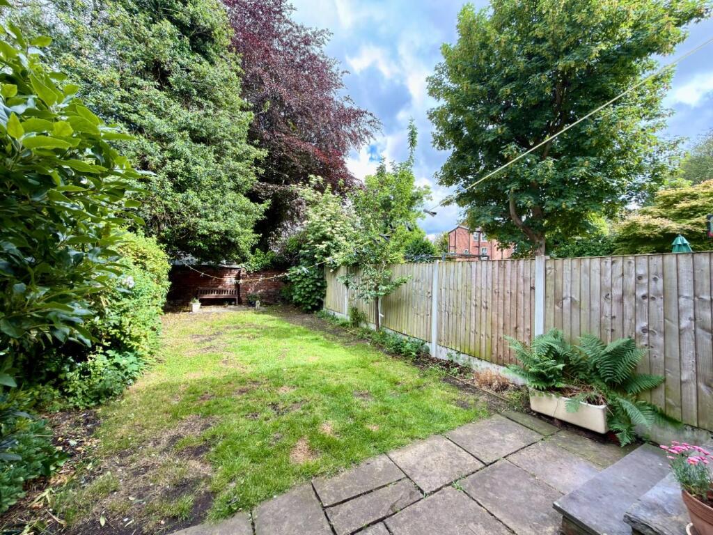
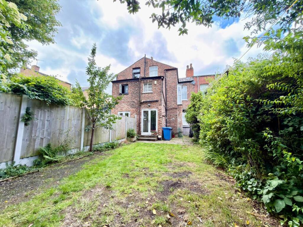
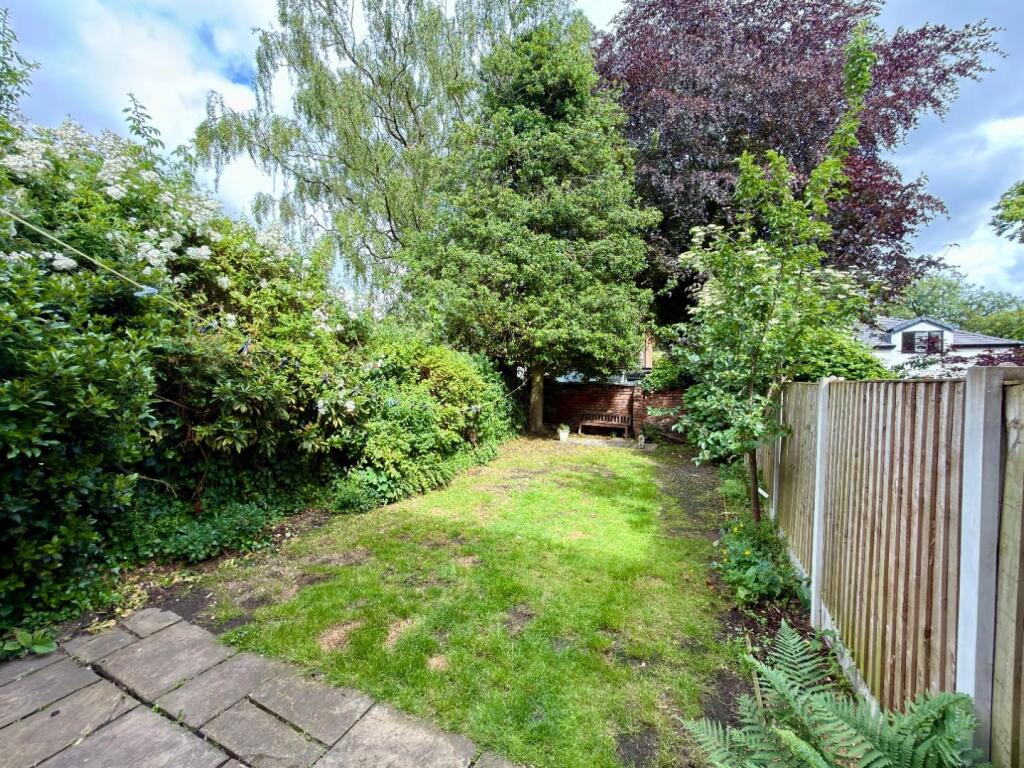
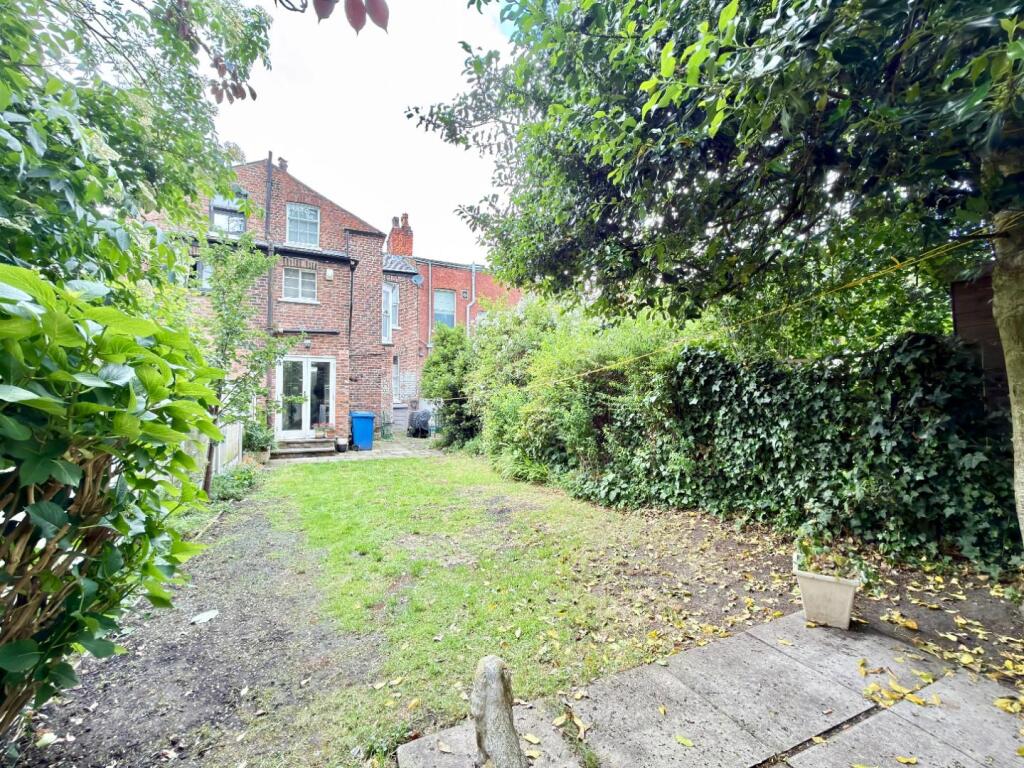
Photo 1 Photo 2 Photo 3 Photo 4 Photo 5 Photo 6 Photo 7 Photo 8 Photo 9 Photo 10 Photo 11 Photo 12 Photo 13 Photo 14 Photo 15 Photo 16 Photo 17 Photo 18 Photo 19 Photo 20 Photo 21 Photo 22 Photo 23 Photo 24 Photo 25 Photo 26 Photo 27 Photo 28
/ 28
Property details
Tenure
FREEHOLD
Council tax band
D
Local average
£277,191 (+125.5%)
Deprivation
Decile 8 (25,264 of 33,755)
Street crime
0 incidents within 1 mile (Apr 2026)
Key features
- Superbly presented mid terrace period property
- Three double bedrooms + two reception rooms
- Many original features throughout
- Highly regarded and sought after road
- Spacious family accommodation over three floors and cellars
- Well maintained gardens to both the front and rear
- Short stroll to all local amenities, schools and transport links including the Metro
- Well placed for Chorlton Village and Longford Park
- Council Tax: D. EPC: D
Additional details
- Electricity
- Mains supply
- Water
- Mains supply
- Sewerage
- Mains supply
- Heating
- Gas central
- Parking
- On street
- Garden
- Yes
- Listed property
- No
- Restrictions
- Yes
- Required access
- No
- Rights of way
- No
- Flooded in last 5 years
- No
- Flood defences
- No
Description
Hmrc Directive - To be able to sell or purchase a property in the United Kingdom all agents have a legal requirement to conduct Identity checks on all customers involved in the transaction to fulfil their obligations under Anti Money Laundering regulations. We outsource this check to a third party and a charge will apply. Ask the branch for further details.
Listed by
Chorlton
Jordan Fishwick
Reference: 172058699
EPC ratings on this postcode
We don't have a matched EPC for this property yet. Below are efficiency scores and details for other addresses on this postcode.
| Address | Current | Potential | Floor area | Age band | Type |
|---|---|---|---|---|---|
| 10 Kenwood Road, Stretford, MANCHESTER | 61 | 77 | 262 m² | England and Wales: before 1900 | Terraced |
| 10, Kenwood Road, Stretford, MANCHESTER | 54 | 70 | 261 m² | England and Wales: before 1900 | Detached |
| 12, Kenwood Road, Stretford, MANCHESTER | 49 | 71 | 173 m² | — | Detached |
| 14 Kenwood Road, Stretford, MANCHESTER | 48 | 69 | 151 m² | England and Wales: 1900-1929 | Detached |
| 20 KENWOOD ROAD, STRETFORD, MANCHESTER | 45 | 67 | 232 m² | England and Wales: 1996-2002 | Detached |
| 28 KENWOOD ROAD, STRETFORD, STRETFORD | 57 | 80 | 187 m² | England and Wales: 1900-1929 | Terraced |
| 32, Kenwood Road, Stretford, MANCHESTER | 49 | 80 | 174 m² | England and Wales: 1900-1929 | Terraced |
| 38, Kenwood Road, Stretford, MANCHESTER | 70 | 78 | 78 m² | England and Wales: 1900-1929 | Flat |
| 4, Kenwood Road, Stretford, MANCHESTER | 42 | 82 | 187 m² | England and Wales: before 1900 | Detached |
| 42, Kenwood Road, Stretford, MANCHESTER | 37 | 58 | 144 m² | England and Wales: before 1900 | Terraced |
| 48, Kenwood Road, Stretford, MANCHESTER | 59 | 79 | 185 m² | England and Wales: 1900-1929 | Detached |
| 50, Kenwood Road, Stretford, MANCHESTER | 36 | 76 | 172 m² | England and Wales: 1900-1929 | Detached |
| 52, Kenwood Road, Stretford, MANCHESTER | 47 | 72 | 167 m² | England and Wales: 1900-1929 | Detached |
| 52, Kenwood Road, Stretford, MANCHESTER | 43 | 66 | 167 m² | England and Wales: 1900-1929 | Detached |
| 6, Kenwood Road, Stretford, MANCHESTER | 46 | 80 | 203 m² | — | Detached |
Flood risk
Zone: 1
Risk: Low
Job (default Low)
Floorplans
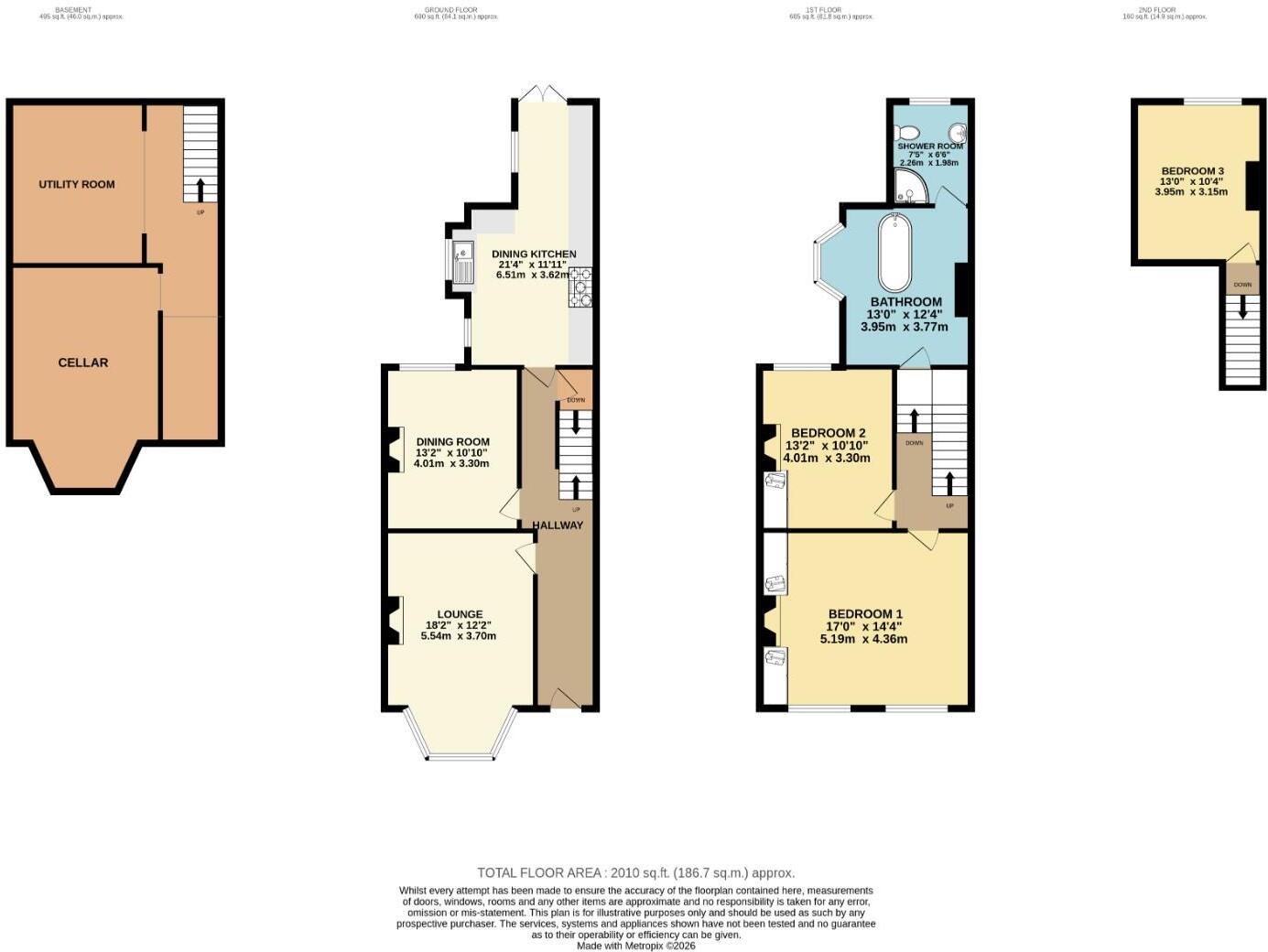
Floorplan 1
EPC Graphs
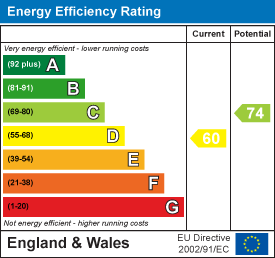
EE Rating
Price history
| Event | Date | Price | % change |
|---|---|---|---|
| Listed for sale | — | £625,000 | — |
Source: HM Land Registry Price Paid Data. Crown copyright.
Sold Comparables
Same street and nearby sales within 0.25 miles (last 5 years). Data from Land Registry Price Paid.
| Address | Price | Date | Type |
|---|---|---|---|
| 98 NORWOOD ROAD, STRETFORD, MANCHESTER, TRAFFORD, GREATER MANCHESTER, M32 8PP | £661,000 | 30/08/2023 | Terraced |
| 16 TURN MOSS ROAD, STRETFORD, MANCHESTER, TRAFFORD, GREATER MANCHESTER, M32 8QD | £410,000 | 15/11/2022 | Terraced |
| 6 TURN MOSS ROAD, STRETFORD, MANCHESTER, TRAFFORD, GREATER MANCHESTER, M32 8QD | £470,000 | 12/08/2022 | Terraced |
| 10 TURN MOSS ROAD, STRETFORD, MANCHESTER, TRAFFORD, GREATER MANCHESTER, M32 8QD | £405,000 | 11/04/2022 | Terraced |
| Same street 14 KENWOOD ROAD, STRETFORD, MANCHESTER, TRAFFORD, GREATER MANCHESTER, M32 8PT | £621,500 | 08/04/2022 | Semi-detached |
| 88 NORWOOD ROAD, STRETFORD, MANCHESTER, TRAFFORD, GREATER MANCHESTER, M32 8PP | £387,500 | 15/12/2021 | Terraced |
| 62 CROMWELL ROAD, STRETFORD, MANCHESTER, TRAFFORD, GREATER MANCHESTER, M32 8QJ | £875,000 | 10/12/2021 | Terraced |
| Same street 76A KENWOOD ROAD, STRETFORD, MANCHESTER, TRAFFORD, GREATER MANCHESTER, M32 8PT | £282,750 | 29/10/2021 | Terraced |
| Same street 20 KENWOOD ROAD, STRETFORD, MANCHESTER, TRAFFORD, GREATER MANCHESTER, M32 8PT | £670,000 | 22/10/2021 | Semi-detached |
Street average: £524,750 (3 sales)
Area average: £534,750 (6 sales)
Capital growth trend
Land Registry outcode average: last 12 months vs 5y and 10y ago (from sold prices).
House Price Index (HM Land Registry — official index, not sold-price averages): Trafford. Series: Terraced. As of March 2026.
Rental Range
Estimated market rent for Trafford. Low = conservative, Realistic = average, Optimistic = best case.
Based on Local Authority from postcode lookup → Trafford.
LHA (30th percentile) floor for West Pennine: £504/mo (Apr 2025 – Mar 2026)
Location
Address
Kenwood Road
Nearby
Nearest stations, universities and amenities (distance from property).
| Type | Name | Distance |
|---|---|---|
| Bus stop | Longford Park | 0.1 miles |
| Bus stop | Stretford, Edge Lane / near Norwood Road | 0.1 miles |
| Shop | Cadbury | 0.3 miles |
| Shop | Bricktop | 0.4 miles |
| Train station | Trafford Park | 0.9 miles |
| Train station | Humphrey Park | 1.3 miles |
| Hospital | Salford Gastric Bypass Surgery | 2.9 miles |
| University | Manchester School of Art | 2.9 miles |
| Hospital | Withington Clinic | 3.0 miles |
| University | UCEN Manchester (Shena Simon Campus) | 3.3 miles |
Street-level crime
| Category | Count |
|---|---|
| Total incidents | 0 |
Within 1 mile during Apr 2026. Source: data.police.uk (England & Wales).
Schools nearby
Nearest open schools with Ofsted ratings (England). Closed schools are not shown. Data from Get Information about Schools and Ofsted.
| Name | Type | Distance | Ofsted |
|---|---|---|---|
| Stretford Grammar School | Secondary | 0.1 miles | Good — 14 May 2015 |
| Longford Park School | Other | 0.2 miles | Requires improvement — 9 Jun 2024 |
| Victoria Park Junior School | Primary | 0.5 miles | Good — 9 May 2024 |
| St Ann's RC Primary School | Primary | 0.5 miles | Good — 17 Mar 2020 |
| Victoria Park Infant School | Primary | 0.5 miles | Good — 30 Jan 2023 |
Rental Comparables
Loading rental comparables for this postcode. Refresh in a few minutes.
Rent-driven metrics
Based on Area rent estimate.
- Rent ratio — Monthly rent ÷ purchase price (1% rule). 1%+ = strong, 0.8–1% = okay, <0.8% = weak for cashflow.
- Max investor price — Rent ÷ 0.8%; the price at which rent would be 0.8% of price (Stoke-style target).
- Target investor price — Rent ÷ 1%; the price at which rent would be 1% of price (strong cashflow band).
- Gross yield — Annual rent as % of purchase price (no costs).
Enter House Number
Enter the house number to help us retrieve more accurate pricing history and property data.
Please log in to submit or correct the house number for this listing.
Log in to continue