FLAT 3 THE GATEHOUSE
3 CHESSEL AVENUE, BOURNEMOUTH, BOURNEMOUTH, BOURNEMOUTH BH5 1LQ
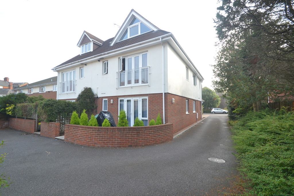
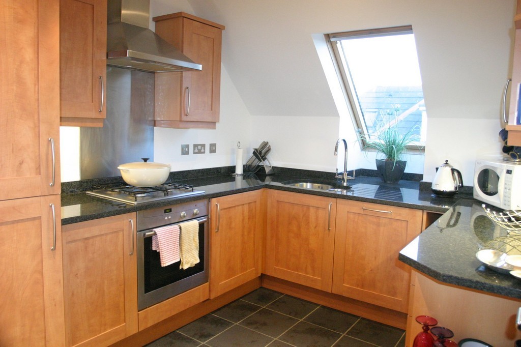
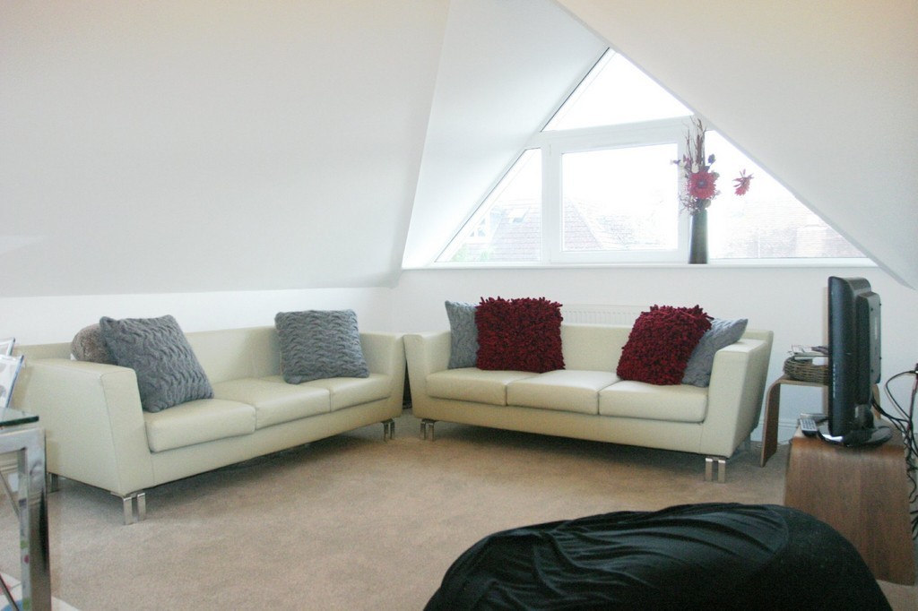
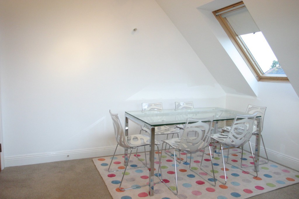
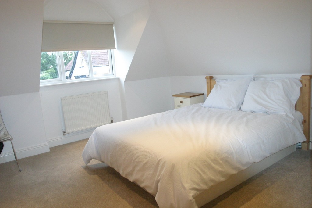
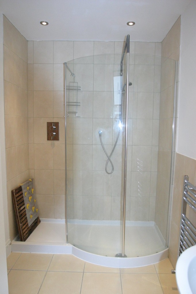
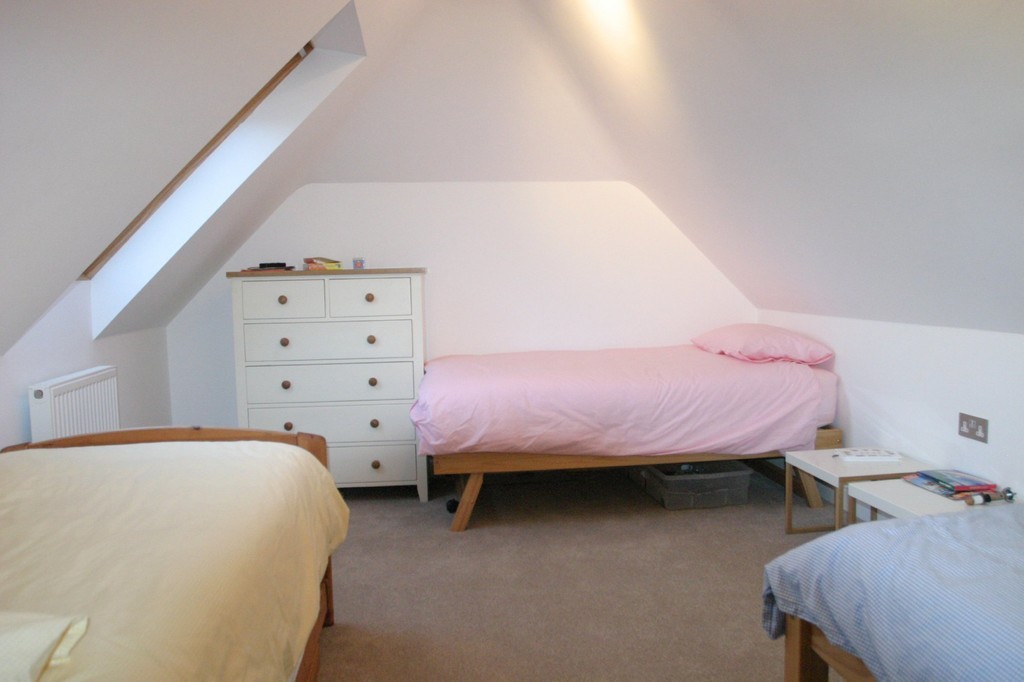
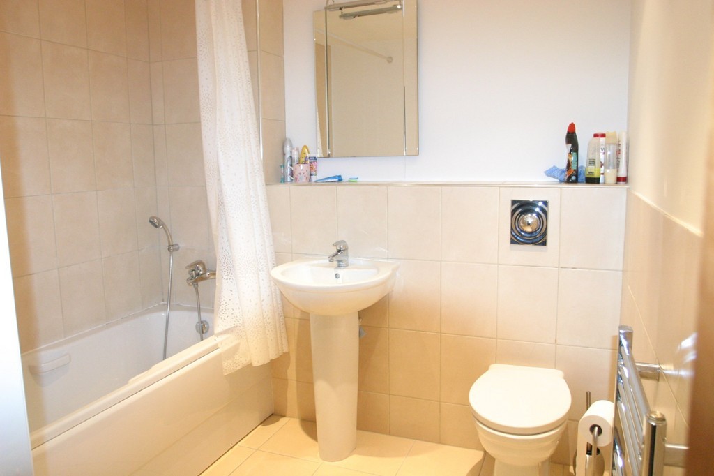
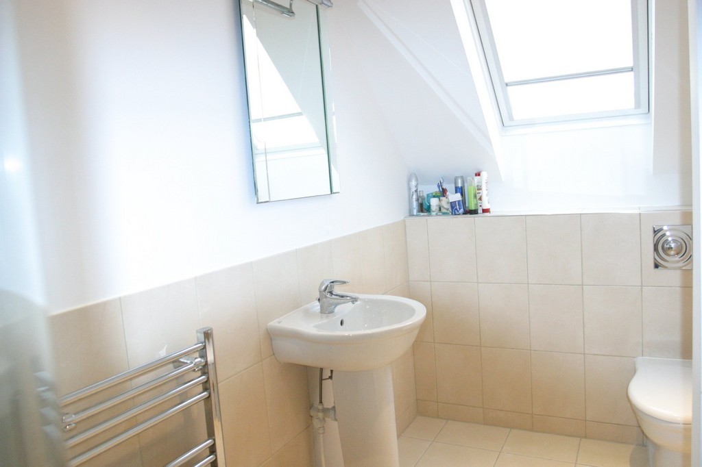
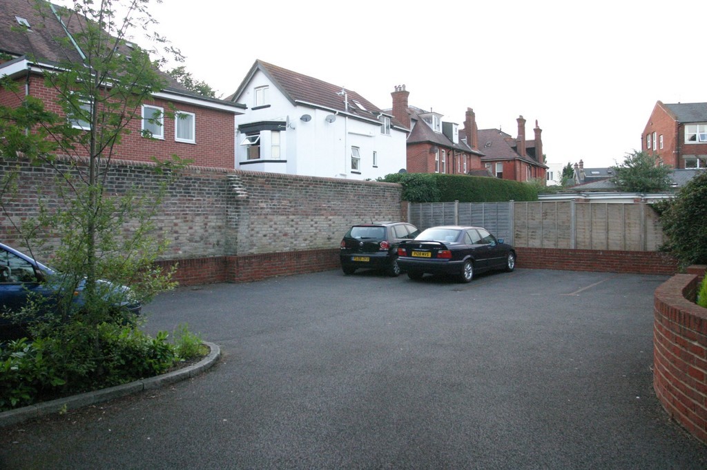
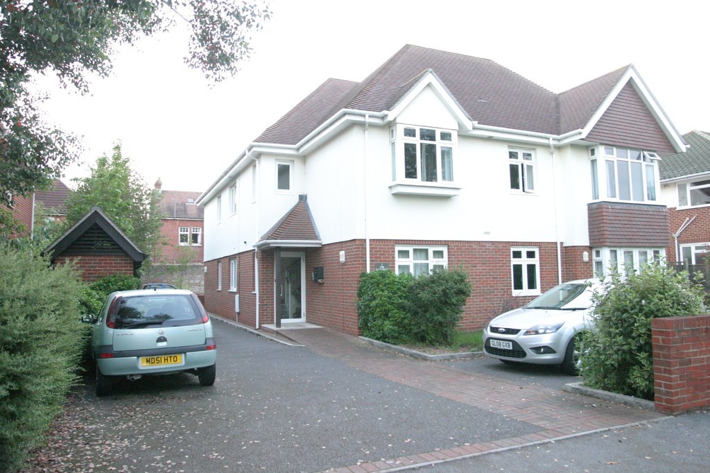
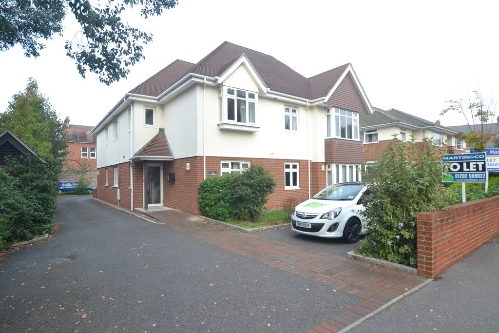
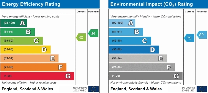
Photo 1 Photo 2 Photo 3 Photo 4 Photo 5 Photo 6 Photo 7 Photo 8 Photo 9 Photo 10 Photo 11 Photo 12 EPC
/ 13
Property details
Deprivation
Decile 9 (28,274 of 33,755)
Street crime
349 incidents within 1 mile (Apr 2026)
Key features
- HALF PRICE ADMINISTRATION FEES
- AVAILABLE NOW
- Two Large Double Bedrooms
- Modern Decor
- Top Floor Flat
- EPC Rating: C
Additional details
- Parking
- Yes
Description
**
Listed by
Bournemouth
The Property Franchise Group
Reference: 42633986
EPC Rating & Upgrade Cost
Fetching EPC data… Refresh this page in a moment.
Flood risk
Zone: 1
Risk: Low
Job (default Low)
FENSA Certificates
This property has 1 FENSA certificate(s) on record, indicating window/door installations by FENSA-approved installers.
FENSA Certificate #13602308
Property Details
Street: 3 Chessel Avenue
Town: BOURNEMOUTH
Postcode: BH5 1LQ
Installation Details
Items: 1 window
Certificate Issued: 10/06/2019
Work Completed: 22/05/2019
This certificate data was retrieved from FENSA's database
What is FENSA? FENSA (Fenestration Self-Assessment Scheme) is a government-authorised scheme that monitors building regulation compliance for replacement windows and doors. Certificates indicate that work was completed by FENSA-approved installers.
Rental Range
Estimated market rent for Bournemouth, Christchurch and Poole. Low = conservative, Realistic = average, Optimistic = best case.
Based on Local Authority from postcode lookup → Bournemouth, Christchurch and Poole.
Location
Nearby
Nearest stations, universities and amenities (distance from property).
| Type | Name | Distance |
|---|---|---|
| Bus stop | Boscombe Westby Road | 0.1 miles |
| Shop | Unknown | 0.1 miles |
| Bus stop | Boscombe, Ashley Road | 0.1 miles |
| University | Health Services University | 0.2 miles |
| Train station | Pokesdown | 0.4 miles |
| Train station | Bournemouth | 1.3 miles |
| Hospital | Nuffield Health Bournemouth Hospital | 1.6 miles |
| Hospital | Christchurch Hospital | 2.3 miles |
Street-level crime
| Category | Count |
|---|---|
| Violence and sexual offences | 94 |
| Anti-social behaviour | 90 |
| Criminal damage and arson | 34 |
| Vehicle crime | 34 |
| Shoplifting | 21 |
| Other theft | 20 |
| Public order | 16 |
| Burglary | 13 |
| Bicycle theft | 10 |
| Drugs | 9 |
| Robbery | 4 |
| Possession of weapons | 2 |
| Other crime | 1 |
| Theft from the person | 1 |
| Total incidents | 349 |
Within 1 mile during Apr 2026. Source: data.police.uk (England & Wales).
Schools nearby
Nearest open schools with Ofsted ratings (England). Closed schools are not shown. Data from Get Information about Schools and Ofsted.
| Name | Type | Distance | Ofsted |
|---|---|---|---|
| Corpus Christi Catholic Primary School | Primary | 0.2 miles | Good — 29 Apr 2015 |
| Bournemouth Collegiate School | Other | 0.4 miles | — (No rating) |
| Pokesdown Community Primary School | Primary | 0.5 miles | Good — 17 Sep 2024 |
| King's Park Academy | Primary | 0.5 miles | Good — 6 Jun 2018 |
| St James' Church of England Primary Academy | Primary | 0.7 miles | Good — 22 Apr 2013 |
Rental Comparables
Residential lets from OpenRent and Rightmove for the area (same bedroom count). Use to validate rent estimates. Student lets are excluded.
| Title | Rent | Beds | Distance | As seen on |
|---|---|---|---|---|
| 2 Bed Detached House, Ashley Road, BH1 | £1,300/mo | 2 | 0.28 miles | OpenRent |
| 2 Bed Flat, Christchurch Rd, BH1 | £1,075/mo | 2 | 0.42 miles | OpenRent |
| 2 Bed Flat, Adeline Road, BH5 | £1,083/mo | 2 | 0.43 miles | OpenRent |
| 2 Bed Flat, Randolph Road, BH1 | £1,300/mo | 2 | 0.5 miles | OpenRent |
Average rent: £1,190/mo (4 listings)